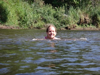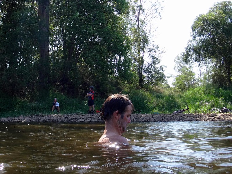
With temperatures predicted to exceed 40C (104 F) we thought the best approach for today’s ride would be something short that involved cooling off in a creek somewhere.
I also wanted to map out some of the fun trails near the western shoreline of Lake Samsonvale.
So we set off early with no route in mind, planning to follow any un-ridden trails we encountered before finishing at Kobble Creek

We decided to get the only climb of the day out of the way at the start of the ride while we were still fresh. From the top of the hill we had some good views northwards over Armstrong Creek and the North Pine River towards Dayboro.
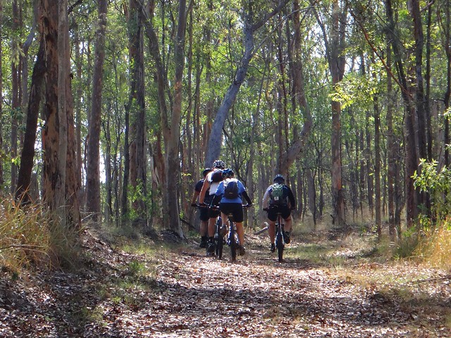
After enjoying the view for a while we followed another leafy track down the hill towards the shoreline of the lake.
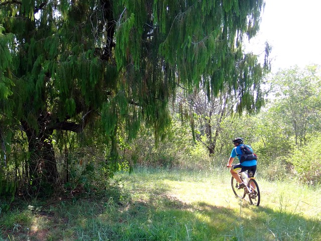
All over this area there are clues about past activity from decades ago before the dam was built. We found this old Willow Tree in the middle of the scrub protected by a small fence around its trunk. The tree must be of some significance – the track leads to it, and around it, then back out again. Perhaps someone planted it on a hot day ages ago longing for a life in a cooler place.
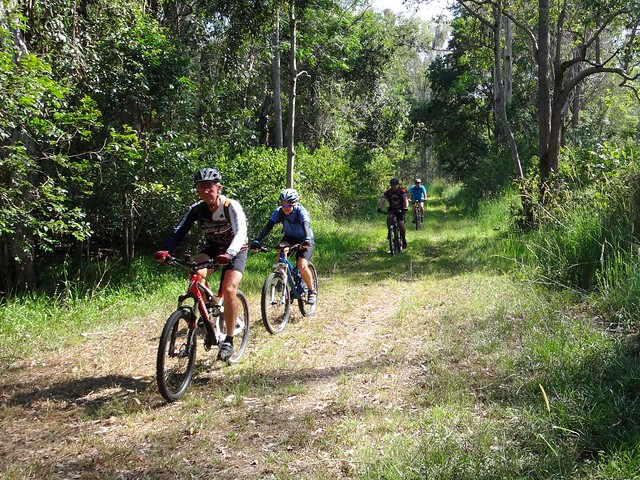
After about an hour of riding in the early morning heat we pointed the bikes down one grassy trail and headed for Kobble Creek. It was unusual to ride such a short distance on a Saturday. Only the week before, Eric and Becca had ridden over 220km on a two day ride through bushland between Toowoomba and Brisbane – at the other end of the “toughness” scale from todays ride.
In a cool shallow creek, shaded from the hot sun by tall trees, we cooled off and dreamed about future rides as well as the prospect of a nice cool drink afterwards in Dayboro.
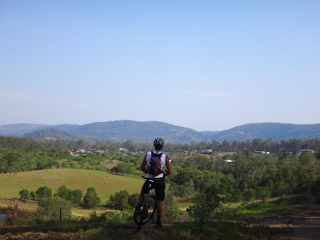
It was a pleasant stroll on wheels with no deadlines, no rush, and no predetermined route to tackle.
We rode 15km in 2 hours with 290m of ascent. I burned just under 1,000 kcal. Normally I’d rate this one 5 out of 10 on the tough-o-meter, but in today’s heat I’d rate it 6.5.
Thanks Becca, Eric, Darb, Jason and Simon for another fun ride.
Total climbing: 430 m
Average temperature: 31.2
Total time: 02:09:26
More data


