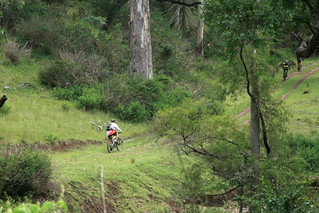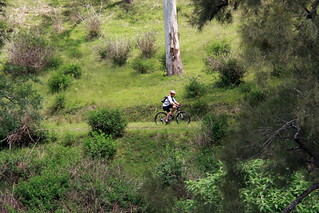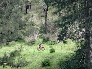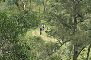
Recent rain has caused the Eastern and Western Branches of the Brisbane River to start flowing again. This doesn’t happen very often, so we thought we’d have a look.
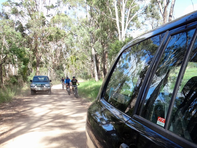
Today’s adventure was a point-to-point ride starting at East Nanango in the South Burnett. Tom and I would drive the support vehicles while the riders rode down the range to meet up with more friends. We’d then follow some trails around the back of Mount Stanley before following the eastern branch of the Brisbane River to its end – the point where the Brisbane River officially starts.
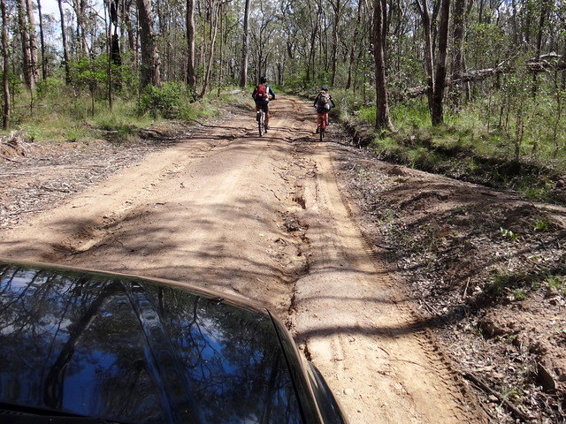
It was a strange experience for me to follow a bunch of Mountain Bikers in a four-wheel-drive. I’m used to cycling through the bush, not driving through it. At times I sat behind them as they rode, as some part of my brain mistakenly thought I was in a big bike myself, following the rest of the pack.
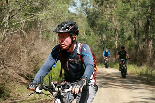
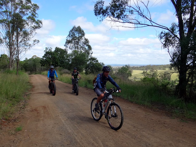
At other times I carefully passed them, drove ahead and waited for them to catch up.
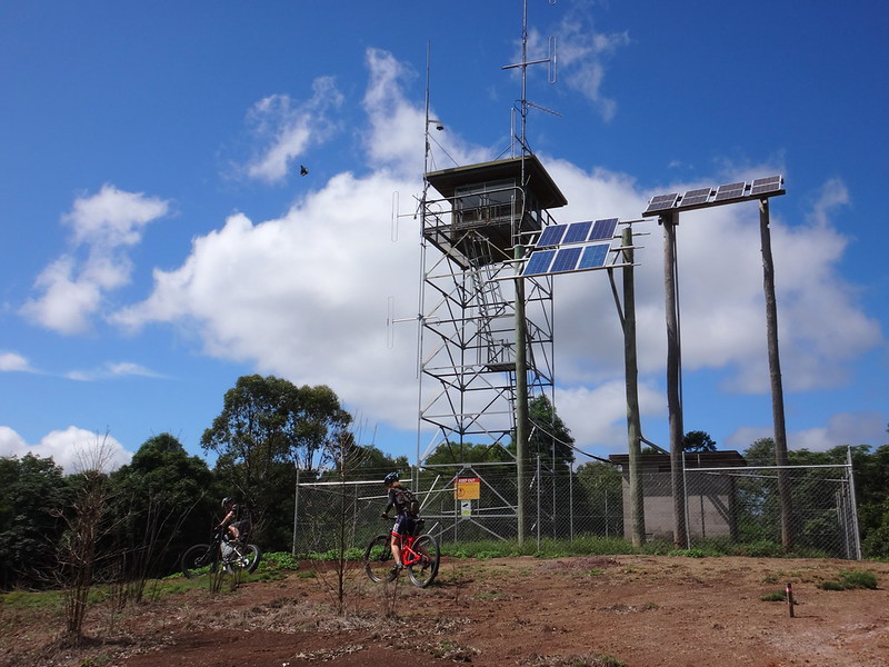
Our first stop of the day was the East Nanango Fire Tower. We let the riders take the easy way up (which included climbing a locked gate) while Tom and I drove up a very steep un-locked track from the other side.
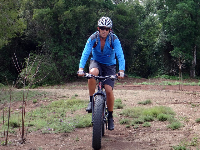
Even though most of them are at the top of long climbs, it’s always fun to add yet another fire tower to our collection – we’ve seen quite a few over the last few years.
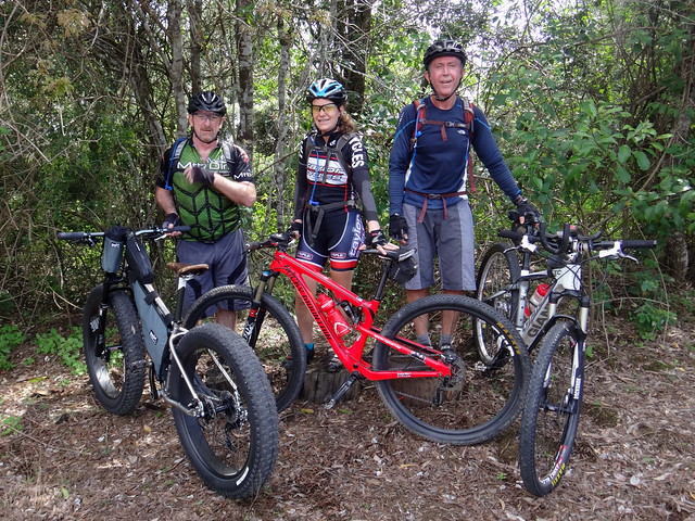
Becca made it to the top first – she even beat the cars up, so we stood her on an old tree stump “podium” with second and third placegetters on either side. Wow that woman can climb hills fast!
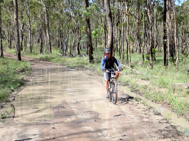
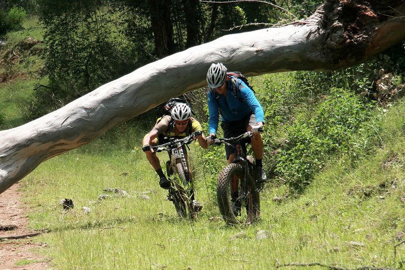
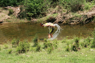
Not long after that we put the fat bikes to the test. Eric on his skinny tyres made quick work of a wide muddy puddle. Darb went round it even though he had a fat bike…
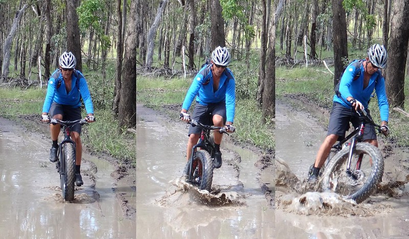
Paul almost gave us a spectacular mud-in-the-face photo – but (sadly) he recovered and was able to ride out unscathed. I think that proves age and cunning will beat youth and technology most of the time 🙂
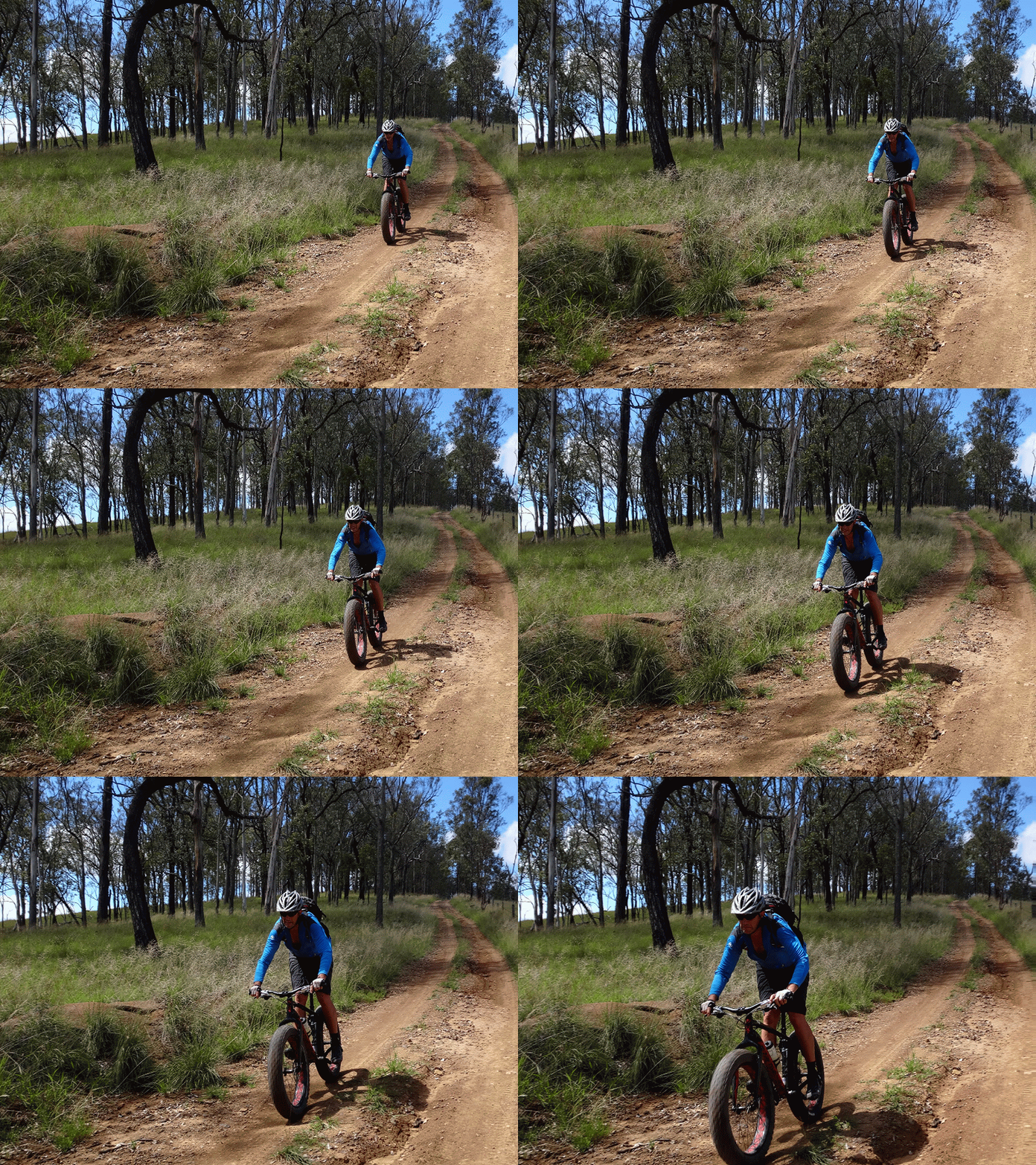
From there we rocketed down the range towards the valley.
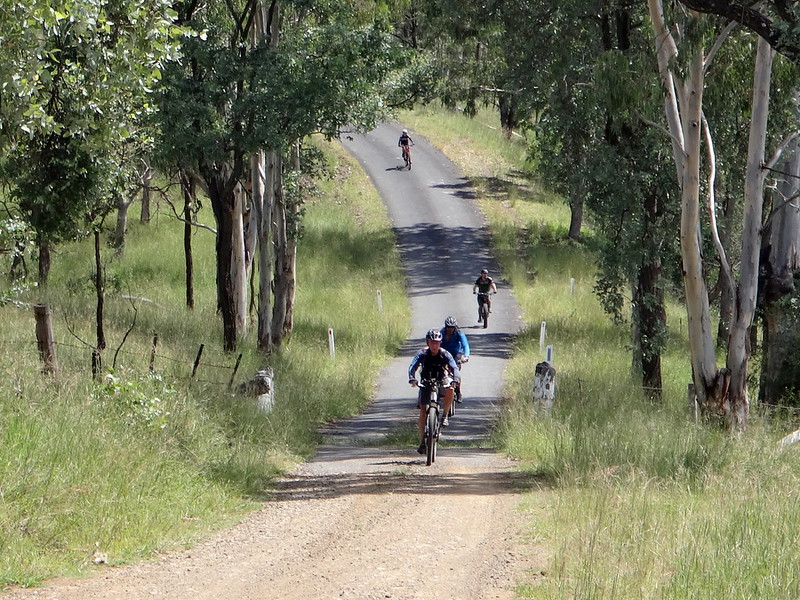
I drove on ahead to let the riders enjoy the long steep descent without having to worry about motor vehicles.
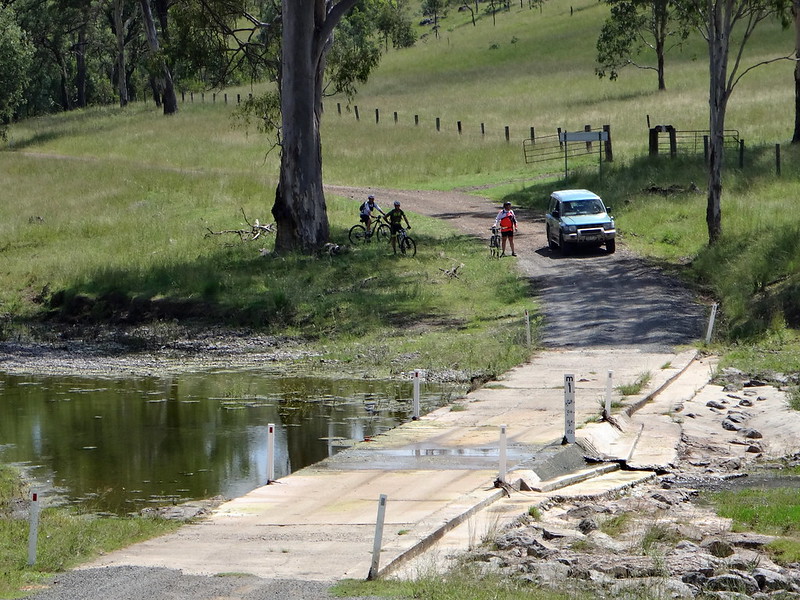
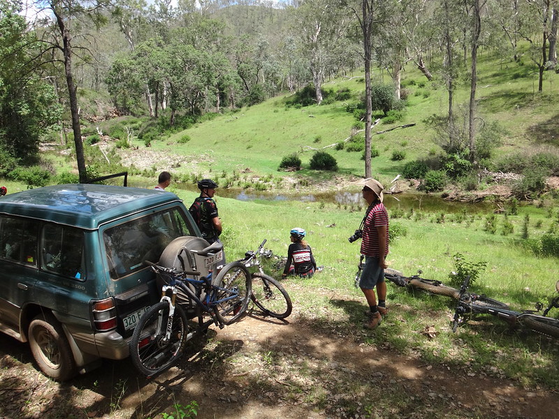
At the bottom, Jason, Russel and Simon were patiently waiting for us in the shade of a gum tree. It was turning into a hot day, and they’d already ridden up the Western Branch Valley to meet us.
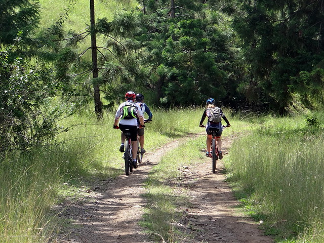
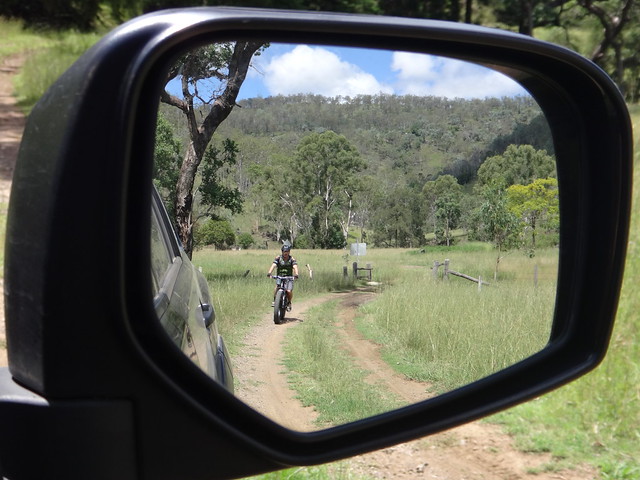
After a quick “hello” the riders set off up the steep hill behind Mount Stanely while I took the easy way south to the junction of the rivers. I’d then meet them at the top of the Eastern Branch.
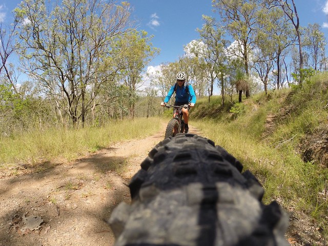
(Photo: Jason Reed)
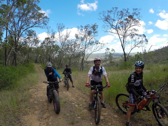
(Photo: Jason Reed)
It’s a long 7km climb to the top. The riders stopped once or twice before the summit to cool down.
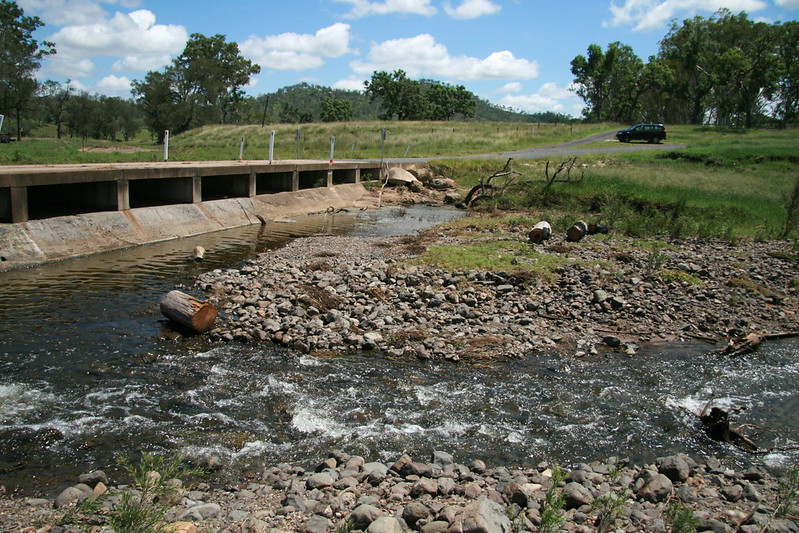
Meanwhile, I arrived in the car a the junction of the three rivers. The Brisbane River starts here where the Eastern and Western Branches meet.
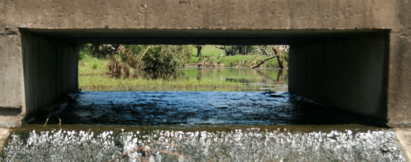
Over the 344km between here and where it enters the ocean in Moreton Bay it’s crossed many times by a variety of impressive bridges. This humble concrete causeway is the first one. It’s my favourite 🙂
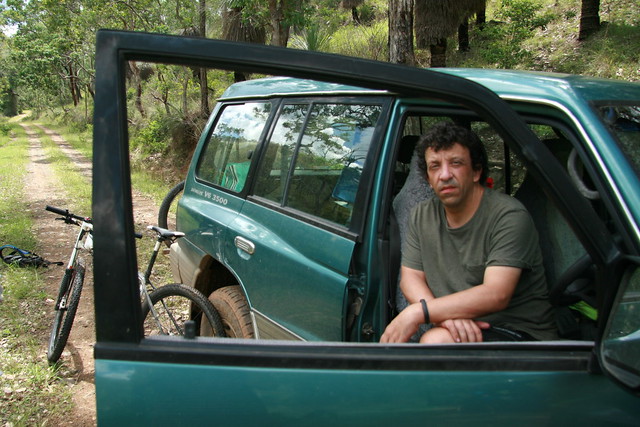
I drove to the end of Eastern Branch Road to Wombi Creek where I could proceed no further because of a large fallen tree. As I waited for the riders to come down the other side, Tom arrived in the second car. He was feeling ill – and we were fortunate to have the second car that he could retreat to instead of having to push over the hill.
After a short wait, the riders emerged from the bottom of the hill on the other side of the creek.
They had no problems getting past the fallen tree. Proof that you can go more places with pedals than with petrol.
I’d packed an icebox in the car which let people pack some cold drinks and food – a rare treat on our rides.
Wombi Creek was the perfect place to cool off and rest after the hard work and steep roads through the forest.
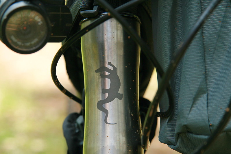
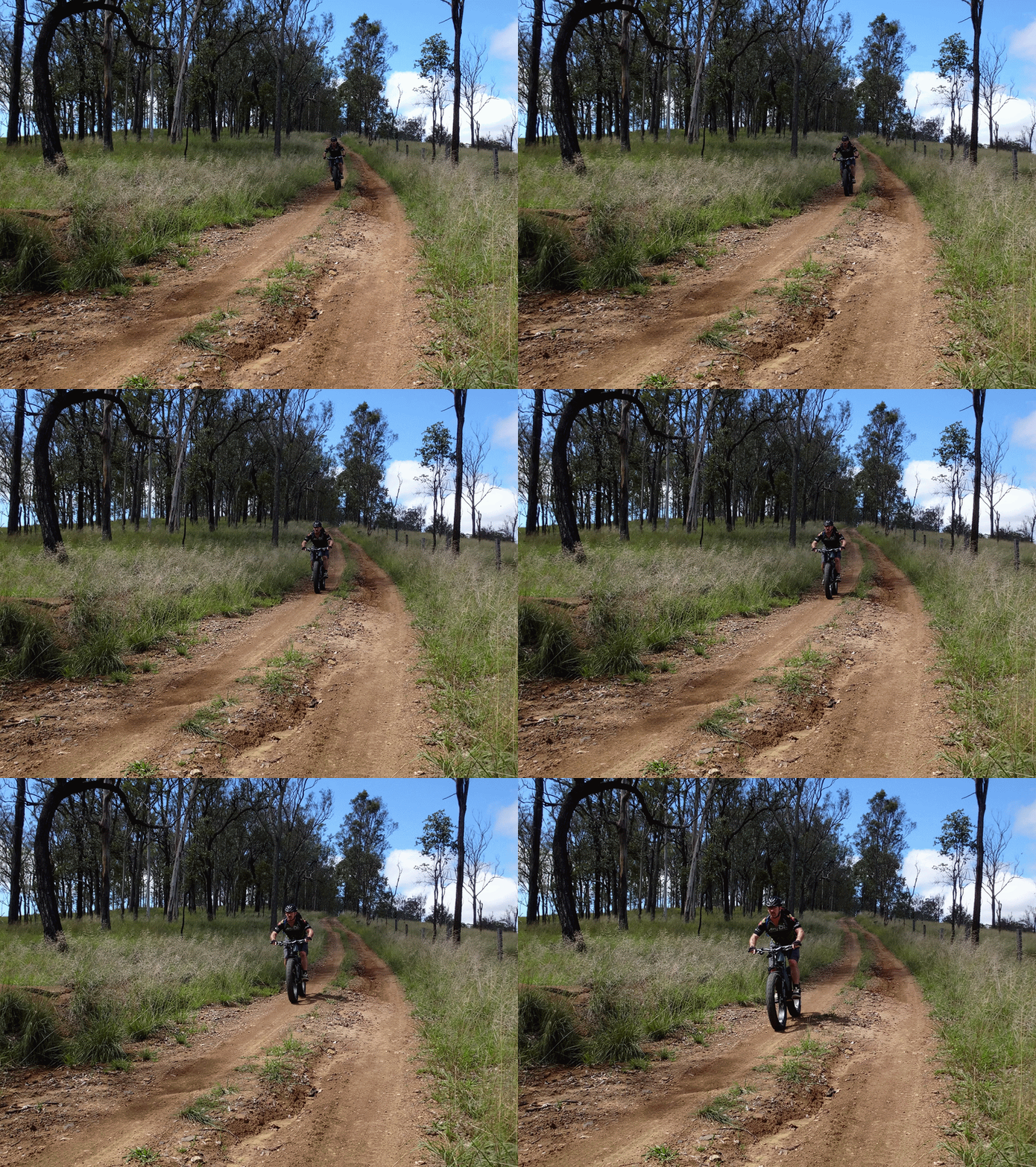
Darb was very pleased with his new fat bike. Although it looks cumbersome, he was impressed with how easy it was to handle, how it gripped the tracks, and with the smooth ride it gave him.
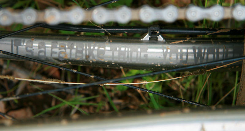
We were both impressed with the artwork on the frame.
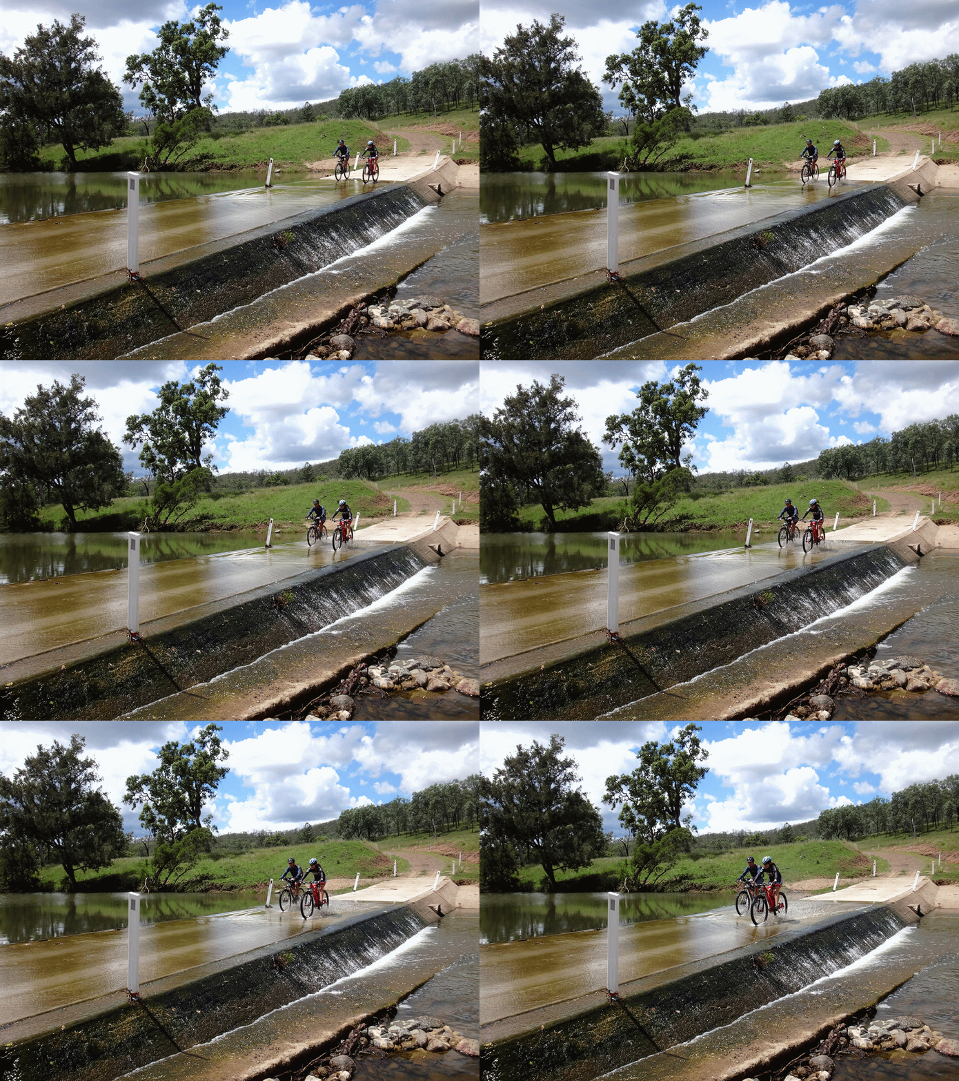
We then followed twenty crossings down the Eastern Branch of the Brisbane River to its junction with the Western Branch.
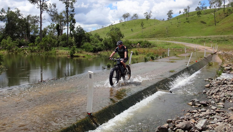
The riders enjoyed several flooded causeways on the way down.

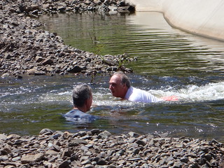
(Photos: Tom Stone)
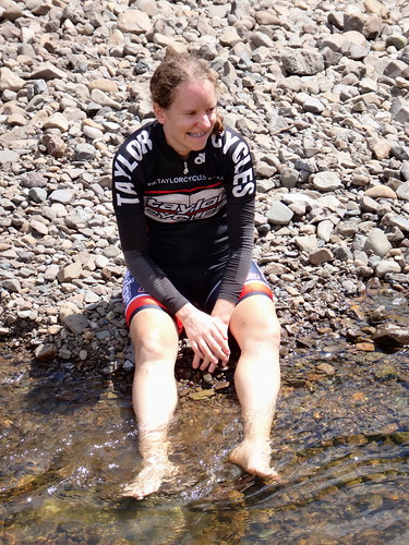
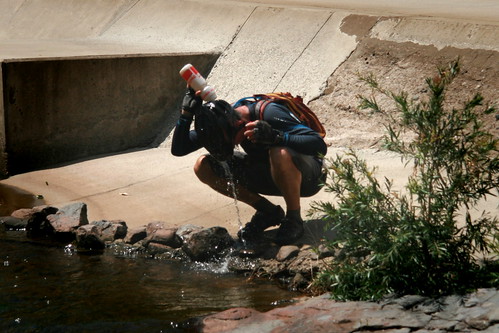
(Photo: Tom Stone)
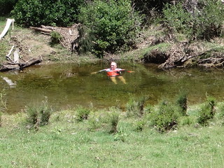
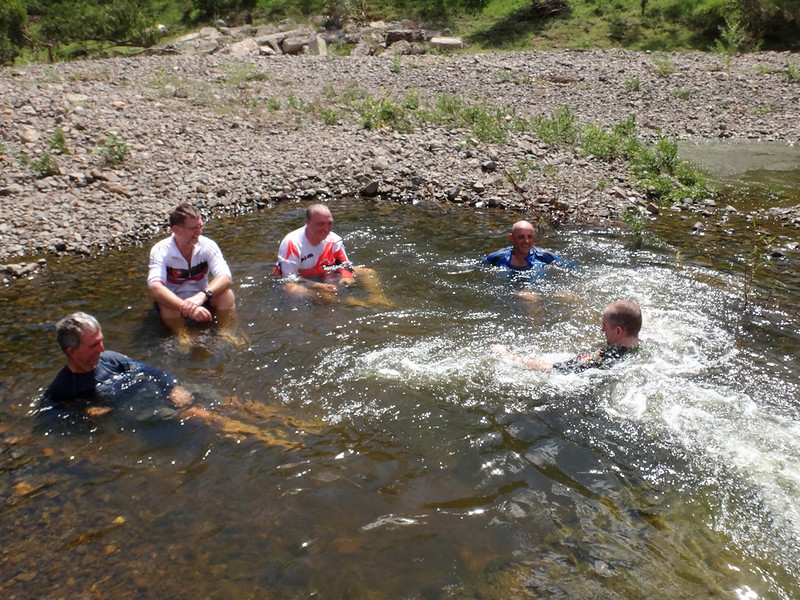
We stopped at Crossing 4 for a break and to soak in the cold water.
It was like sitting in a spa bath.
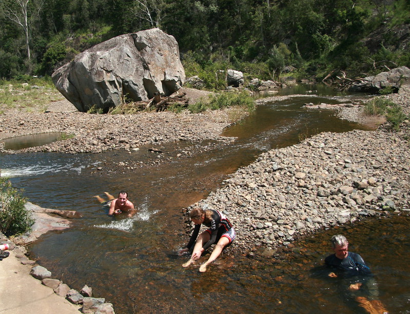
This crossing is well-known for “Barrow Annie” – a huge boulder which sits in the middle of the river bed. We didn’t climb it today – the cool water was much more inviting.
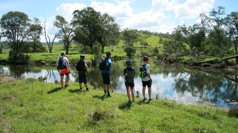
Our final stop was back at Crossing 1, where the Brisbane River starts. We strolled through a paddock to the junction of the three rivers.

(Photo: Tony Ryan)
I stood in the middle of this riverbed a few weeks ago on dry gravel.
Today it was full of water.
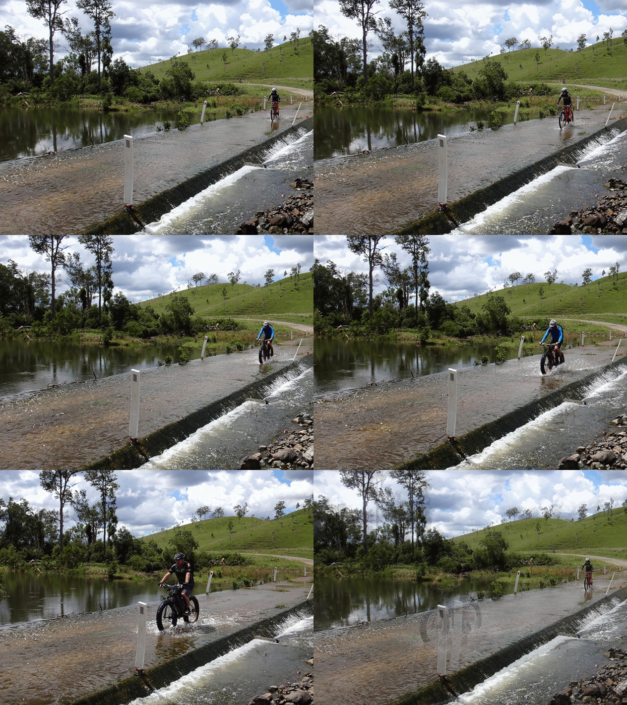
The riders covered about 52km in 5 hours including breaks. During this time they climbed a total of 1,200 metres, losing almost 1,400 metres at the same time.
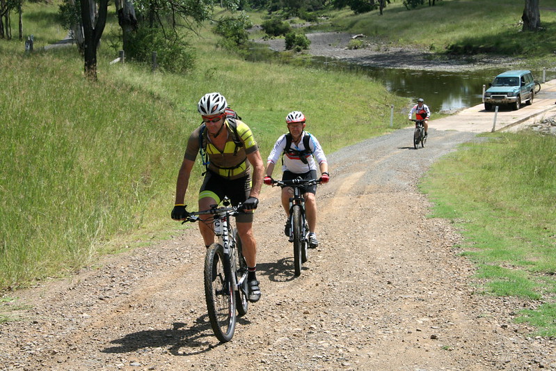
The second group rode about 42km in about four and a half hours including breaks, and climbed about 1,000 metres.
If you’re doing this as a point to point ride, we’d rate it about 7.5 out of 10 on the tough-o-meter.
It was much less effort in the drivers seat 🙂
Thank you Becca, Tom, Eric, Darb, Paul, Jason, Russel and Simon for a great day out.
Thanks Darb and Eric for letting us use your cars.
Thanks, Tom and Jason, for helping me with the photos.
Here’s Darb’s track log of the ride:
Total climbing: 1206 m
Average temperature:
Total time: 05:04:46
More data
Here’s my track log of the driving route:
Total climbing: 1895 m
Average temperature: 50.5
Total time: 05:11:20
More data


