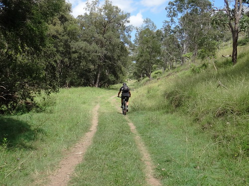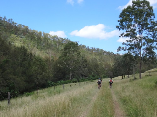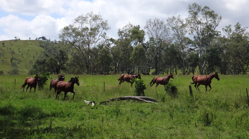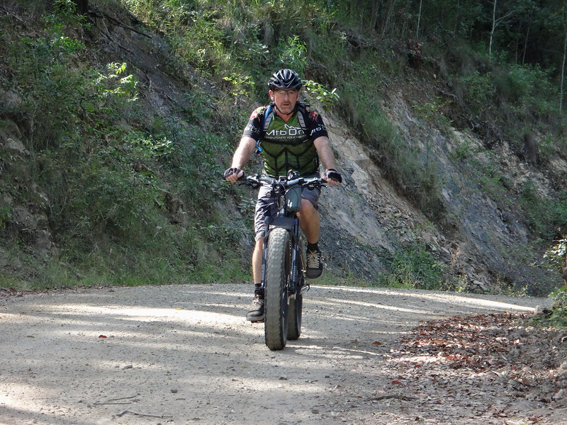
Today’s adventure took us through Louisavale Station – a large picturesque cattle station on the banks of Monsildale Creek between Linville and Kilcoy.
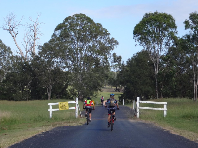
We started at Sheepstation Creek north of Kilcoy on the road to Jimna. This was a point-to-point ride, so I drove Eric’s 4WD while everyone else cycled. This way we’d have a car at the end of the day so that we could ferry everyone else back to their vehicles.

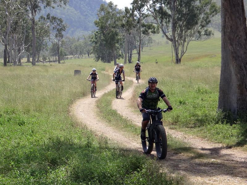
The day started on a dusty dirt road which twisted through rolling green hills.
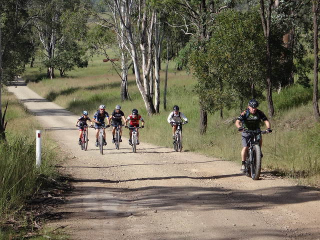
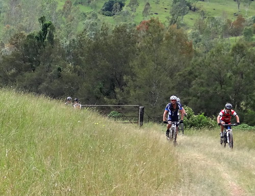
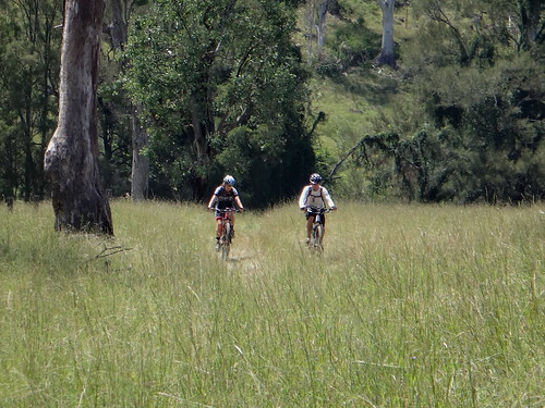
I’d drive ahead leaving the riders in a cloud of dust and then stop to catch a few photos of them as they rode by.

We were in no rush, so it didn’t bother me whether I drove behind them or in front.
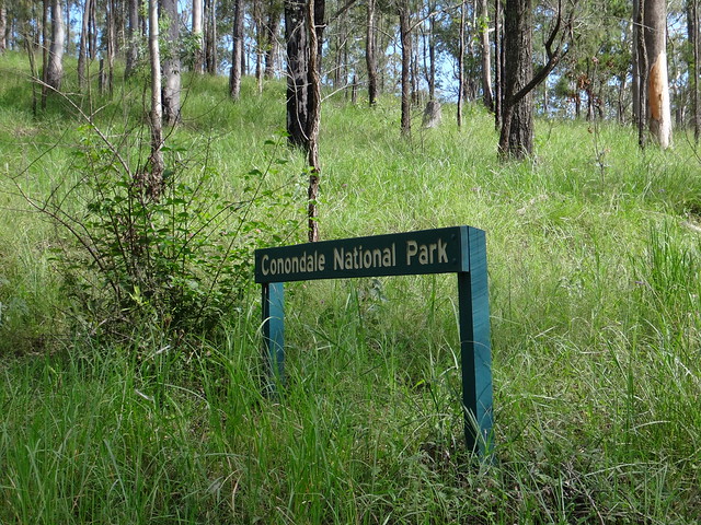
After a few kilometres we started a brief climb up the Jimna Range – a small spur which branches from the Conondale Range.
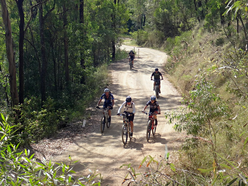
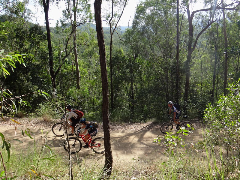
It was the only major climb of the day, rising about 160 metres over 2km.
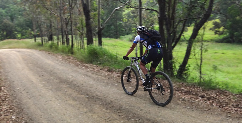
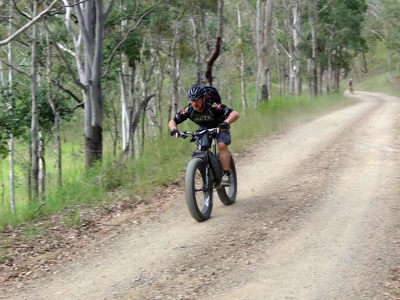
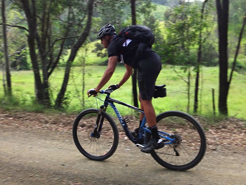
Once over the summit, we enjoyed a quick roll down the other side of the range towards Monsildale Creek.
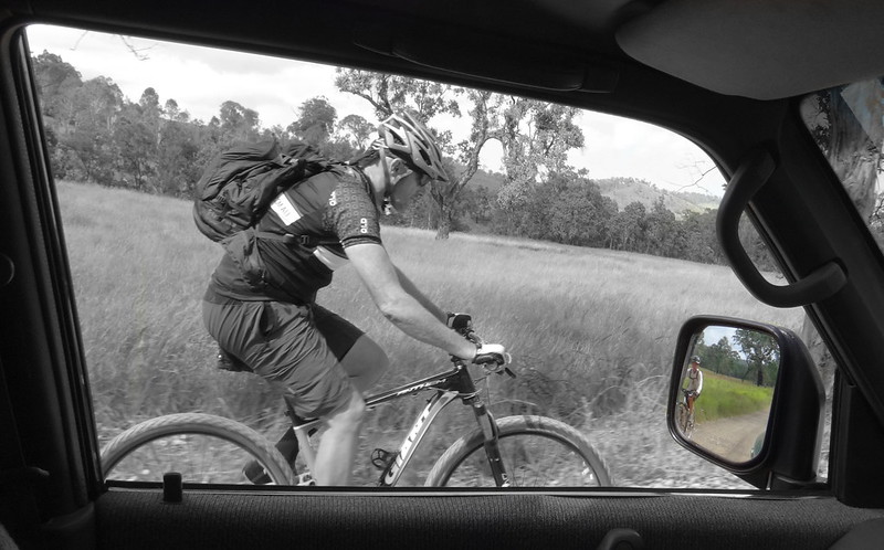
It was a perfect day to be out in the bush. The terrain wasn’t too challenging, the temperature wassn’t too warm, and everyone seemed to enjoy the relaxed pace – especially in the car 🙂

Louisavale Road follows the Creek westwards towards the Brisbane River. It’s officially a “No Through Road”…

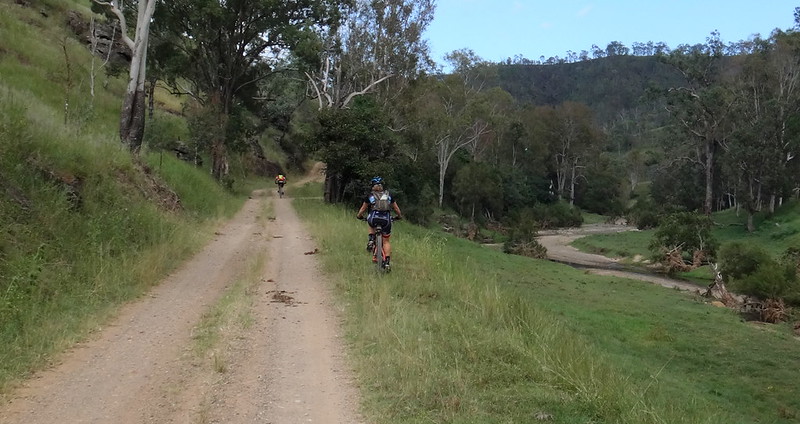
…but the road reserve is a well-formed horse trail which follows this pretty creek for its entire length.
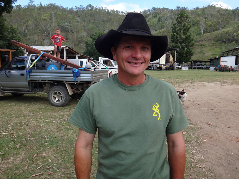
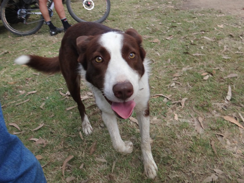
For some of its way, the track is the driveway to “Louisavale Station”, home to the Gilliland family. We’d got the “OK” to ride through from them the day before, but popped into say “G’day” to Tony and his family.
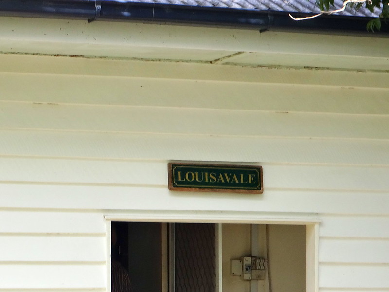
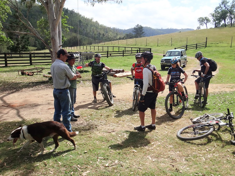
He told us that at the beginning of the 20th century, Louisavale started off a timber town. After that it was used for Deer farming, before Tony’s family moved to the area to farm cattle.
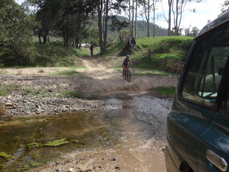
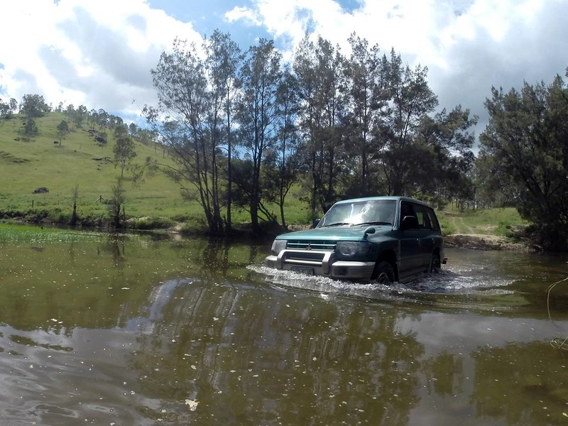
The creek can often flood after rain, so I confirmed with Tony that it was safe for me to follow the bikes as I drove the 4WD.
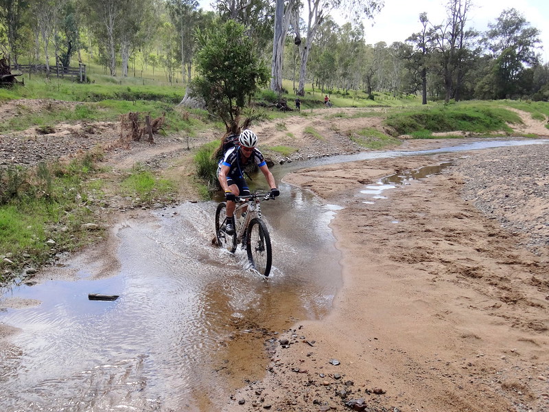

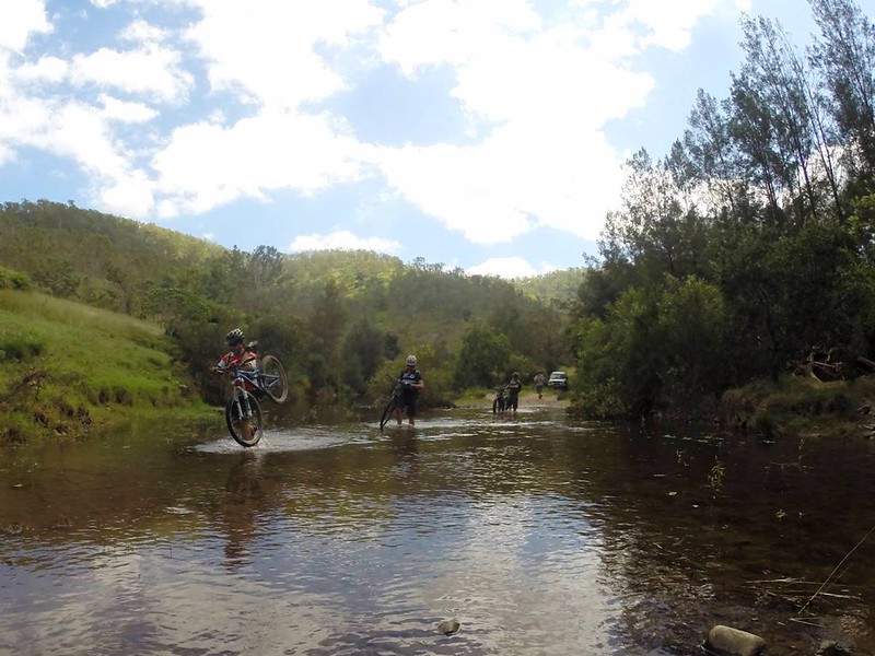
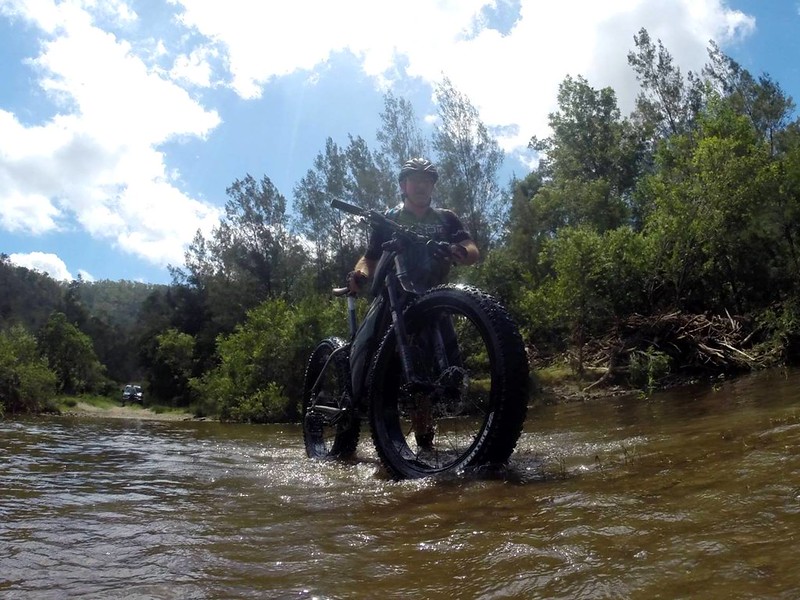
We crossed the creek many times. The riders got their feet wet, but I stayed nice and dry in the car.

We also passed through many gates.
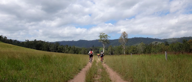
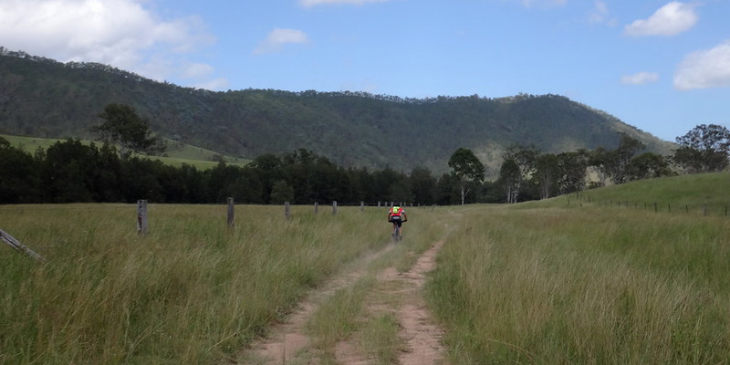
At a leisurely pace we slowly rode through some of the prettiest land in the area.
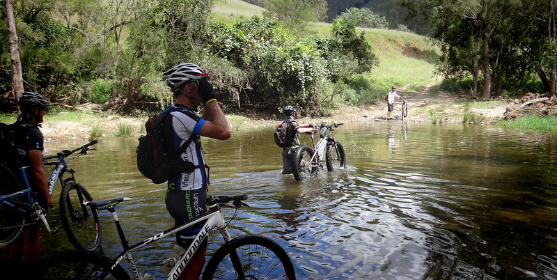
While everyone else had to labour through the water carrying their bikes above their heads, Darb discovered that the huge tyres on his fat bike were so buoyant that his heavy bike almost floated on the creek.
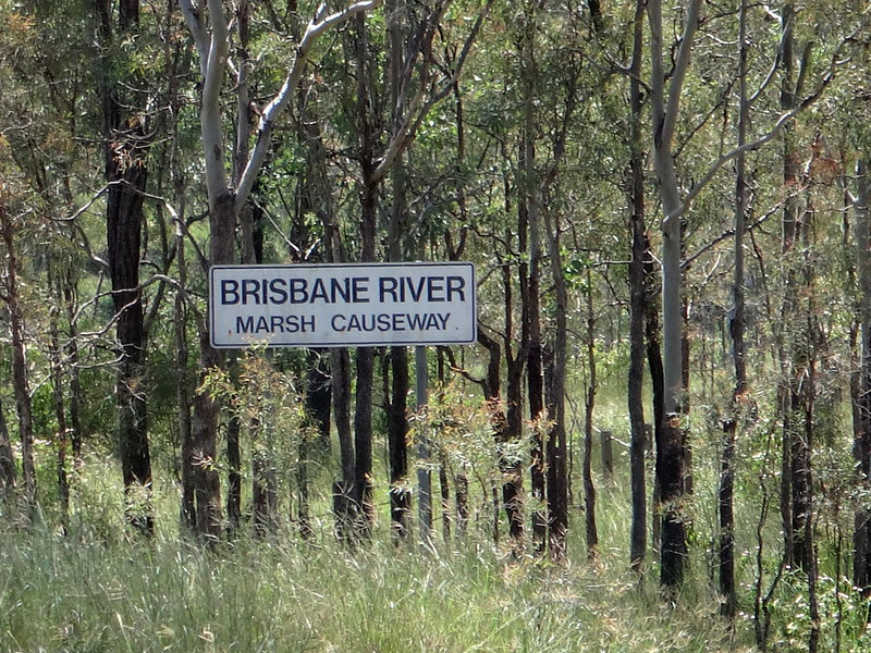
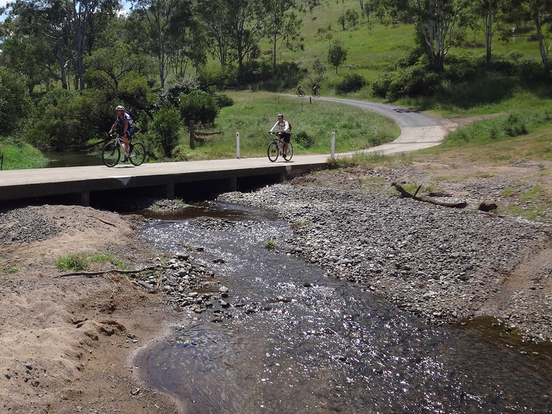
We eventually reached the Marsh Causeway – where Monsildale Creek meets the Brisbane River.
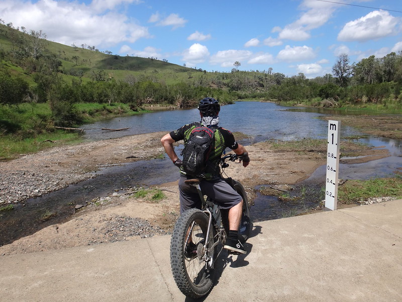
Darb stopped and reminisced about how the sound of running water reminded him of creek-side camp-outs during his childhood in Tasmania.
We shared stories of exploding baked bean tins, and rollled up cigars of newspaper and grass stems. It seemed like no matter where you lived in Australia in the 1970’s, boys were getting up to the same sort of mischief.
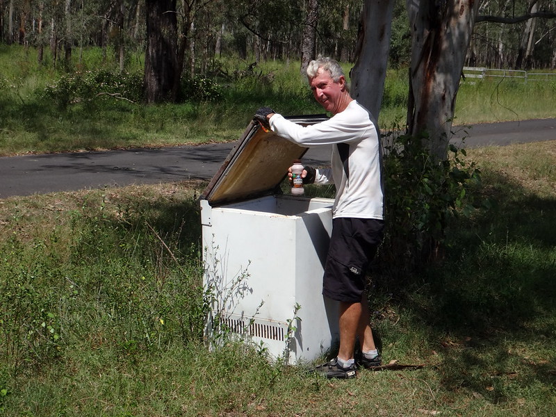
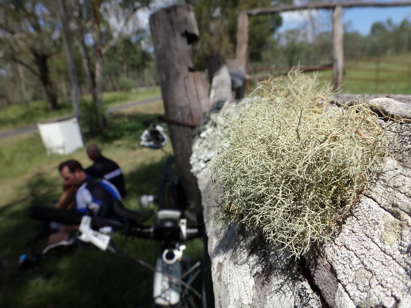
We stopped here for a brief snack before I drove Tom to pick up his car and then meet the others for lunch at the pub.

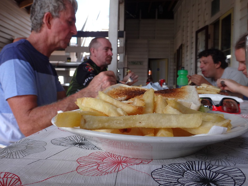
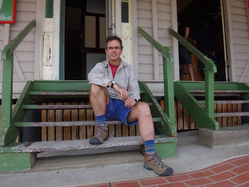
We’re starting to get to know the colorful characters at the Linville pub. It’s a perfect spot to stop after an enjoyable day exploring the upper reaches of the Brisbane River and the creeks which flow into it.
This ride covered about 46km in almost 4 hours includuding lots of breaks. We climbed about 650m in elevation, and Darb burned about 2,000 kcal.
We rate this ride about 6 out of 10 on the tough-o-meter.
If you plan to ride through Loisavale station, please make sure you first contact the owners to make sure it’s ok and safe to do so.
A big “thank you” to Tony Gilliland and his family for letting us ride through your spectacular property.
Thanks Becca, Tom, Eric, Darb, Paul and Jason for another fun day out on the bike.
Thanks Jason for sharing some of your photos.
Thanks Eric, for letting me take your car paddock bashing. I really enjoyed it 🙂
UPDATE: Here’s Darb’s video of the ride:
Here’s Darb’s Track Log:
Total climbing: 0 m
Average temperature: NAN
Total time: 03:09:29
More data


