Mount Samson Summit

If you ever drive into the Pine Rivers district and look west, the chances are you’ll see a pyramid-shaped mountain on the horizon. You can’t miss it. The 18th century English navigators didn’t miss it – they drew it on their sketches of the area. And the chances are if you read this blog you’ve already seen it in some of my photos:
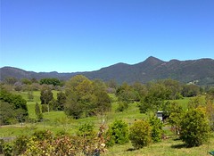
Mount Samson, D'Aguilar RangesLake Samsonvale and Mount Samson

A week or so ago I decided I’d like to climb it, but I wanted to take my bike as far as I could up the mountain. It’s a tough climb for hikers, so when I told my plans to my dear long-suffering wife, she gave me a look which gave no doubts that I should ask some friends to come as well in case anything went wrong.

So I asked on the excellent local mountain biking website MTBDirt.com.au for some riding buddies. “You have to be crazy to do this ride”, I said. “I’ve never done it before, I don’t know if it’s rideable, it will be wet and muddy. If you’ve got any doubts, don’t come”. So seven other guys turned up this morning for the ride. I was stoked 🙂

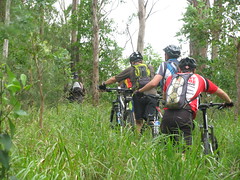
We had permission from the local land owner who let us ride through their property up to the national park. (Thanks Gab & Shirley – we love you!). But when we got there, we took a wrong turn and ended up bashing through a few hundred metres of lantana before we’d even really started:
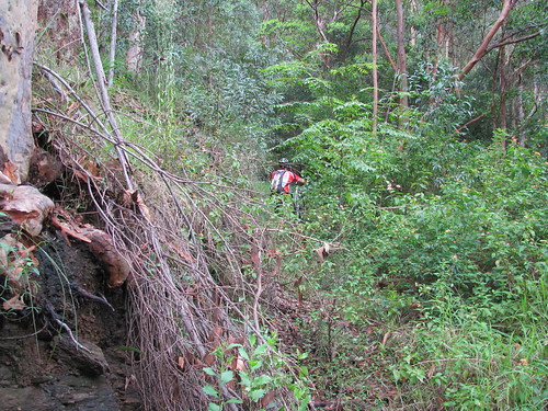
Climbing Mt Samson on a bike

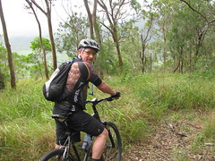
Eventually, we found the fire trail, and half-rode, half dragged our bikes up the hill:
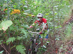
Climbing Mt Samson on a bikeClimbing Mt Samson on a bikeClimbing Mt Samson on a bike

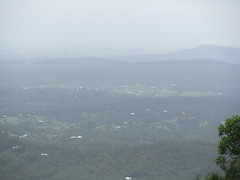
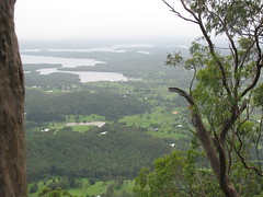
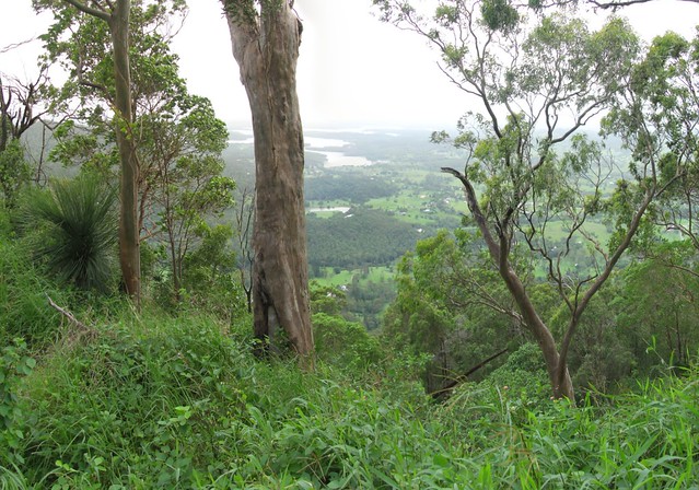
We eventually made it to the 500m line which marks a saddle between the lesser peak to the north, and the imposing pyramid of Mount Samson. It’s at this point that Hang Gliders used to jump off and glide into the valley below. The views, even at this point, were spectacular – despite all the clouds and rain in the area:
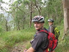
Climbing Mt Samson on a bikeClimbing Mt Samson on a bikeClimbing Mt Samson on a bike
Climbing Mt Samson on a bike
We pushed on and eventually reached a thick bunch of lantana that was impenetrable. There was no way we could drag the bikes any further, and as we tried to push through it, the horrible weed cut us and made any further progress impossible.

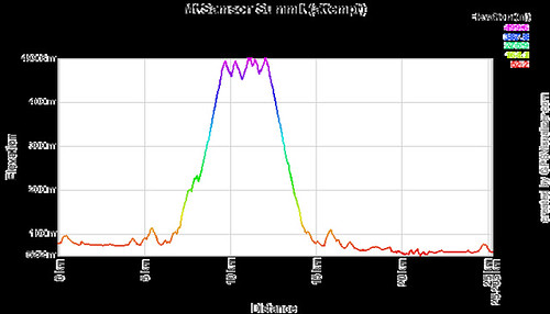
So we did what any fun-loving mountain bikers would do, turned the bikes around, and rolled down the hill. What a ride! About 450m of descent in 3 or 4 km. I crashed a couple of times as did others – but there was so much undergrowth that it was like landing on pillows. Also, while riding down we discovered the route we should have used coming up. It would have saved us some crazy hiking at the start and maybe saved us half an hour.

But it was a great ride with some really fun, fit, and slightly crazy guys. I’d love to try it again once I have a better idea of where to go when we reach the saddle at the top.

MtSamsonProfile

Total distance: 25.37 km
Total climbing: 832 m
Average temperature: NAN
Total time: 03:45:15
Download file: activity_60963369.gpx
More data

5 Replies to “Mount Samson Summit”

  1. Cooee Neil Ennis
    My name is Diane Manning.
    This place is Tukuwompoo
    The Summit Circle atop the pyramidal peak is a Sacred Aboriginal Women’s Lore Meeting place.
    This Bara, Law Circle is in violate.
    None other than full initiate Jundal Goundier of Imarbara Jalu may walkabout upon Burran Burran.
    MALES ARE NOT ALLOWED THEREON.
    As the Keeper of Imarbara Jalu Pathways of GARUMNGAR I extend to you this message stick that you and your associates may assist with respect to proscribed transgressions and assist with clearing pollutions and defilements eg. Buddhist chortens and all other dangerous changes to escarpments precipices lands and pathways waterways and skies.
    You may care to view online my
    Earth Elders Blog “Black Eyes” 1 October 2009 © Diane Mospan
    And https://www.facebook.com/diane.mospan
    Email:
    Diane Manning
    Imarbara Jalu
    Garumngar
    National Elders Council
    GLOBAL
    nationalelderscouncil@gmail.com
    peace1earth@live.com.au
    Ta
    Diane and Families
    Mingon, sounds like MinkOM
    translation Personal Dreamtime Love
    Shines like a light
    ☀

    1. G’day Diane

      Thanks for sharing this important information about your sacred site.

      I apologize if due to my ignorance my trip to Mount Samson caused you and your council any distress.

      I’ll make sure your message is attached to this blog post so anyone reading it in future is aware of your wishes.

      Please pass on my respects to your elders council.

      Neil

      1. COOee
        Not your ignorance Neil
        No apology needed
        Imarbara
        Peacemakers solving the insolvable
        through Song Story and Dance
        MESSAGESTICK LAW

        All
        D R E A MINGS
        [EVERYTHING meaning ALL LIFE]
        People only one Clan

        Mu Ning BuRRU M
        translation, HEAD of the BORA CELEBRATION CIRCLE

        GA RU M NG A R
        translation, Land of the FOUR GUMS WHICH BLEED
        ONE TRIBE, translation, LAND
        KEEPER of ALL powers
        Gave me a duty in 1961
        Refer photo will inbox to you on facebook FIRST
        Following that other photostories of significance.
        All posts photos and comments may be shared.

        You may care to know my family dwelled @ Kurwongbah opposite Harrisons Pocket, renamed Vores Road
        on Terrors Creek Road renamed Dayboro Road

        In 1981 following family tragedy myself and my eldest son
        moved to 8 Cruice Street Dayboro Portion 1 Subdivision 1
        Parish of Samsonvale
        of Our beloved Grandmothers Walkabout Country
        Unlawfully obtained by Tufnell after whom the notorious Tufnell Orphanage at Banyo is named. That gubba, dangerous killer, went on to be elevated to first ARCHbishop of Church of England in socalled Queensland.

        SOVEREIGNTY never ceded

        Mingon
        Diane

  2. Diane

    Thank you for the info about the Garumngar name.

    I love all the country you’ve described – Kurwongbah, Harrisons Pocket, Dayboro, Mount Pleasant – etc. I feel that by spending time in it, the country has changed me and made me a better person.

    I’d really like more info about Mount Samson / Buran Buran. From what you have told me I now understand that the peak and the circle are sacred and inviolate under your law. What about other parts of that mountain? For example, there are houses on the slopes near Basin Road. Behind the houses are cliffs. Are these slopes and cliffs also part of the sacred site, or just the peak where the circle is?

    Neil

Leave a Reply

Your email address will not be published. Required fields are marked *

This site uses Akismet to reduce spam. Learn how your comment data is processed.