It’s easy to understand why this place is called the “Scenic Rim”. It’s stunning. Justin and I spent the day out here exploring new trails that might form part of a future social ride.

We started at Aratula and headed west along some quiet dirt tracks, avoiding paved roads as much as possible.
Our plan was to hike some of the way, and drive some. Since my car isn’t really an “off-road” vehicle, we drove some parts very slowly.
It’s amazing where you can take a Camry if you’re careful 🙂
One of the advantages of driving slowly with a keen-eyed driver like Justin is that it’s easier to spot interesting things. This Frilly Lizard thought if he kept still enough, we wouldn’t see him. He didn’t seem to mind when I stuck the camera in his face.
The ride we’re planning in the near future will involve some overnight camping, so we were keen to check out the camp site at Munchow’s Crossing. Adjacent to Reynolds Creek, this is a popular overnight spot for travellers on the Bicentennial National Trail. There’s room for a lot of people, and plenty of water…
…Perhaps a little too much water for my trusty Camry. But I think most mountain bikers would enjoy crossing this creek.
A little further down the road we parked the car at the small rural locality of Coochin to start our hike.
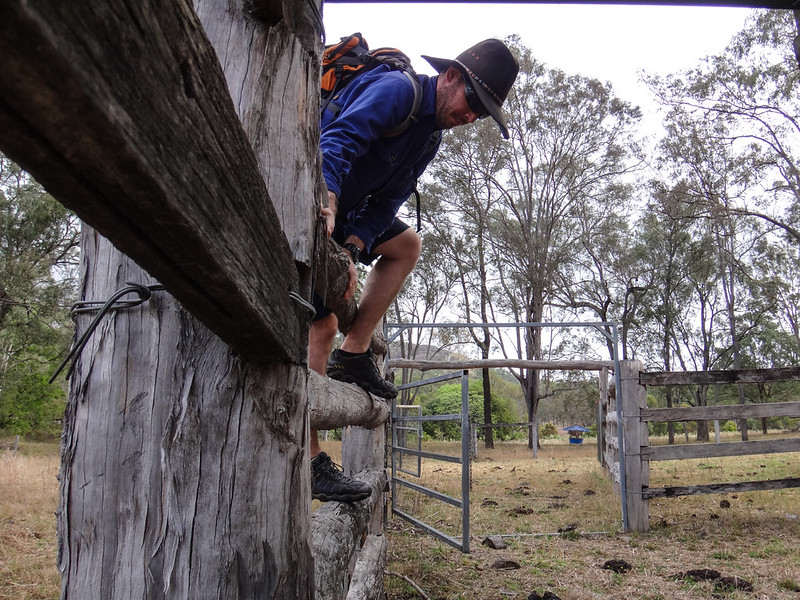
We traced a couple of faint tyre tracks through a farm, following a road reserve up into the hills.
Road reserves are wonderful. Without a good map, it would be easy to miss these delightful public tracks.
Although road reserves are public land, this one passed unfenced through a working cattle property. In these situations I think it’s important (and courteous) to get permission before passing through. Almost all the farmers I’ve met have been hospitable and helpful. They appreciate being asked.
Justin and I followed Warwick “Road” east towards Mount Alford, over a few rolling hills and past curious cattle. I was grateful for his company. Sometimes it’s good to walk alone, but sometimes it’s more fun to share the experience.
Besides – with a walking buddy I had someone else to photograph besides myself 🙂
After about 4km, we reached the paved road with unusual dome of Mount French looming on the horizon.
It was after midday and we both were keen to have lunch at the Mount Alford pub. The only problem was that if we spent another hour walking back to the car, we’d be too late, and the pub kitchen would be closed. So we decided to soldier on, and walk another 3km to the pub.
My feet were still sore and blistery from last week’s effort, but we were both grinning at the thought of the hard-earned meal that lay ahead in Mount Alford.
The town is named after the mountain of the same name to the west of the town. It has an unusual wart-like rock on the northern face. As we drew closer to town, a light misty rain started falling over the mountain.
This local resident came out to welcome us.
I gobbled down a steak sandwich, and couldn’t resist ordering a locally brewed pale ale to enjoy with my lunch.
… and a locally brewed red ale called “Fat Man”. We decided that because we had a long walk ahead of us, a couple of drinks would be harmless.
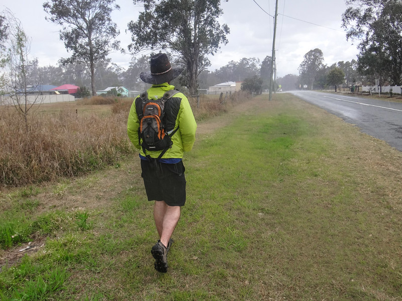
The rain arrived just as we were about to start our return journey. Thankfully we both brought jackets. Walking in the rain was surprisingly pleasant.
We said “G’day” to a few cattle as we walked back to the car.
It must be the calving season. We saw several young calves while we were walking.
I was relieved to arrive back at the car, and let Justin drive while I rested. We took the scenic route back to Aratula via Lake Moogerah.
This is a great place to explore. We’re looking forward to coming back soon.
We hiked about 15km in about 4 hours, including a long lunch. I’d rate the walk about 7 out of 10 on the tough-o-meter.
We also drove about 120km in about 4 hours.
If you’re interested, “Diggas” and “Fat Man” beers are brewed by Mike Webster from Scenic Rim Brewery. They’re delicious.
Thanks Justin for a great day out, and for being my chauffeur for the day!
Here’s our hiking route:
Total climbing: 331 m
Average temperature: 24.9
Total time: 04:05:20
More data
Here’s where we drove:
Total climbing: 4446 m
Average temperature: 26.3
Total time: 08:17:54
More data


