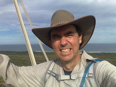
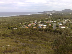
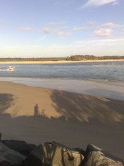
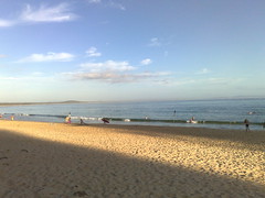
I thought I’d ride out to Deception Bay this morning. To make it interesting I cut through North Lakes, and found a couple of dirt tracks at end of Discovery Drive, North Lakes, which helped me get there from the South-West without having to navigate some of the major roads in the area.
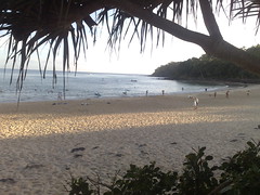
It’s Australia Day today and at the waterfront, all the BBQ’s and picnic tables were taken – even at 9am. I’m not surprised because it’s very pretty, with great views to Scarborough, Moreton Island and Bribie Island.
Deception Bay was initially named Pumicestone River” by John Oxley in 1823. When he realized it wasn’t actually a river, he named it “Deception Bay” instead.
Poor John Oxley had more than his share of “deception” in this area – being led up the North Pine River by shipwrecked convicts Finnegan and Pamphlett, who told him it was the Brisbane River. When he realized it wasn’t the Brisbane River, he named it “Deception River”, but “North Pine” river eventually stuck because of all of the Hoop Pines that grew along the river’s banks.
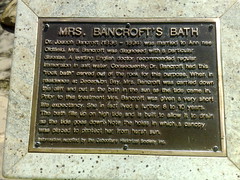
Dr Joseph Bancroft was doctor and scientist who settled in the Deception Bay area in the 1860’s.
He is famous for his studies in parasitology, but one of the more touching memorials in the area is “Mrs Bancroft’s Bath”.
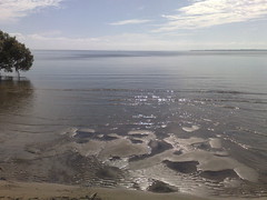
His wife was diagnosed with an illness which doctors suggested could be mitigated by bathing in salt water. To make this easier for Mrs Bancroft, Joseph had a bath carved out of one of the large rocks on the foreshore. At high tide, the water would fill the bath, and Mrs Bancroft would be able to take her saltwater bath with ease.
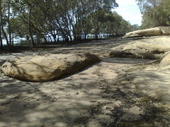
As you can see from the picture, the bath is still there as a testimony to one man’s love and care for his ill wife.
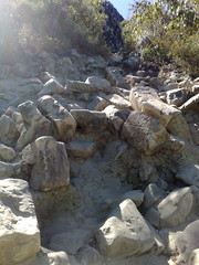
Mount Coolum was a good climb. It’s not as high as nearby Mount Ninderry, but it’s a more challenging climb because there’s more slippery rocks to negotiate.
I rode the bike down from Coolum Beach, chained it to a tree in the car park, and climbed from there.
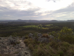
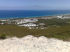
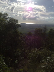
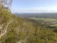
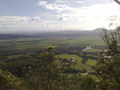
There are spectacular views in all directions, but it’s not as panoramic as Emu Mountain. You need to move around the summit a bit to see in different directions.
Nevertheless, it’s quite high, and very close to the coast, so it’s worth having a look.
The track was quite busy. I passed about a dozen people when I climbed.
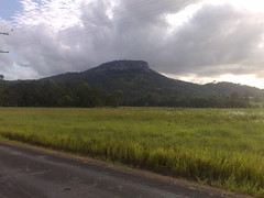
Mount Ninderry is one of the first monoliths you see when you turn off the Bruce Highway at Yandina and approach Coolum.
It’s about 360m high with a car park about halfway up.
I’ve seen it dozens of times on our many trips to Coolum, and eventually decided to check it out.
I cycled there this morning, and hiked to the top for some great views of the the coast and farmland around Coolum.
Some of the hills were a challenge.
After the hike, I discovered the dirt part of Ninderry Road which is a steep horse trail leading down the north-eastern side of the mountain. It was a lot of fun on the mountain bike – although I took it pretty slowly.
Then it was an easy ride along mostly dirt roads back to the main drag and home.
All up about 43km with maybe 520m of ascending (according to http://GPSies.com)
I decided to do a quick climb up Emu Mountain yesterday afternoon. It’s a prominent hill just north of Coolum with great panoramic views in all directions, from Noosa in the north, to the Blackall Ranges is the west down to Coolum in the South.
I got lost in the first 5 minutes and ended up in the middle of a horse paddock. Some friendly horses ran up to great me, which was initially quite intimidating. But I just spoke to them like they were inqusitive kids, and they decided not to eat me and trotted off.
Here’s some pictures from my ride from Coolum up to Noosa and back this morning. What a beautiful ride! Beach on one side, National Park on the other for most of the ride. I think I’ve found a few tracks that might be suitable for mountain biking, too!