As part of my plans to take some friends on a ride over the D’Aguilar Range in a few weeks, I thought I’d investigate a bit more our planned route.
A riding friend, Dean, kindly offered to ride with me, and we met up at the Dundas Road water tower.
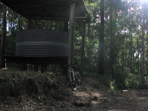
There are a few shelters like this throughout the forest, using a rain tank to provide emergency drinking water to hikers and mountain bikers. If you pass by here in the afternoon you’ll often see hikers setting up camp for the night.
After a long, steep, and loose ride down Dundas Road, we eventually hit the bottom of the range.
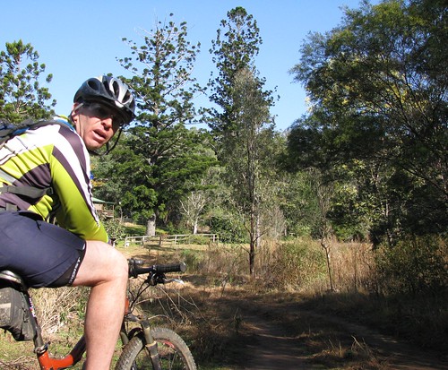
Banks Creek Road starts from the bottom of the D’Aguilar Range and can take you all the way to Fernvale, north-west of Ipswich. We’ll be heading down here in a few weeks. For today, I just admired the old Hoop Pines (Araucaria Cunninghamii).
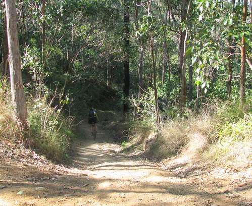
Here’s another steep descent. With more skill, and dual-suspension, Dean flew down most of the hills and over the water bars. I was more circumspect, and often ended up just eating his dust. In fact, I lost traction in one spot and fell off, but luckily I was going pretty slowly and only suffered a few minor scratches and loss of pride 🙂
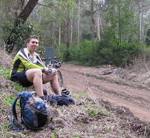
Eventually we reached the bottom of Cabbage Tree Range Road, which is where we stopped for lunch – after riding in the forest for a few hours, you really work up an appetite.
Dean rode a total of about 100km today and chewed through three toasted cheese and bacon sandwiches and numerous jelly snakes.
A vehicle which runs on toasted sandwiches and jelly snakes – who would have thought????
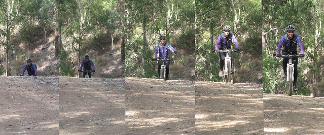
I rode up Cabbage Tree Range Road today non-stop.
It’s a 7.5km climb which gains about 500m in altitude, and takes about an hour.
Last time I rode this, I had to walk some of the steeper bits. Today I kept my head down, kept pushing the pedals, and nailed the hill!
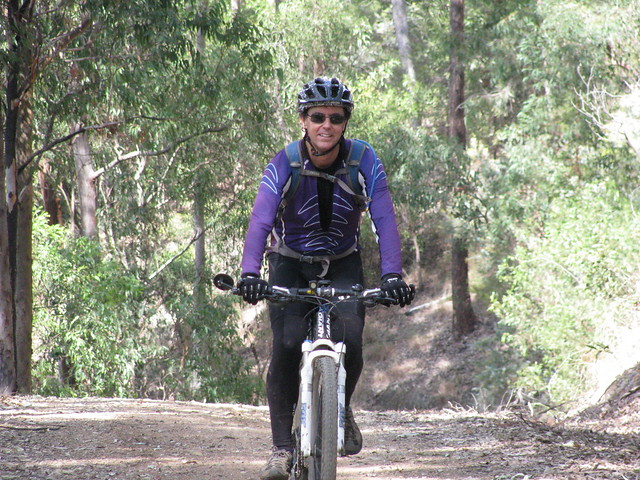
I really enjoyed today’s ride, and felt great having nailed that last hill. Unlike Dean, I only rode 37km, but ended up climbing almost 1,500m, and burned about 3,500 kcal. On the tough-o-meter I’d give it 8.5 because of the long climb.
Total climbing: 1499 m
Average temperature: NAN
Total time: 05:22:05
More data


