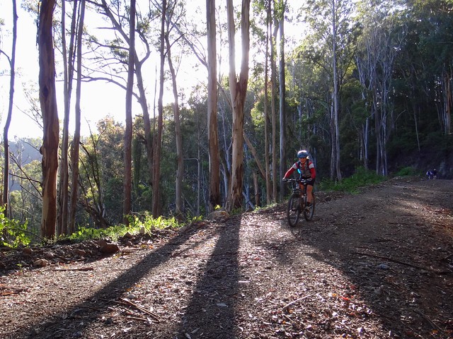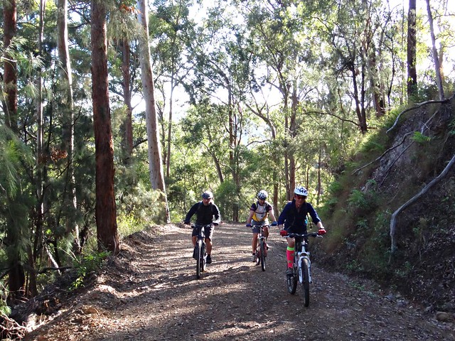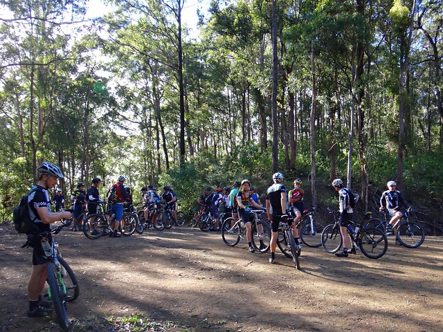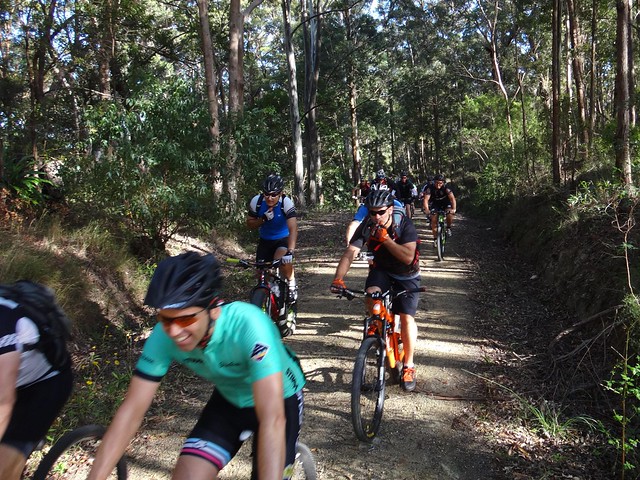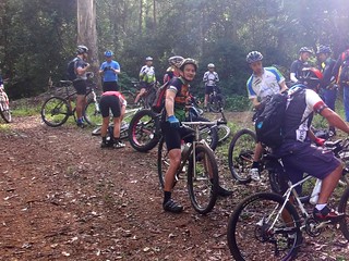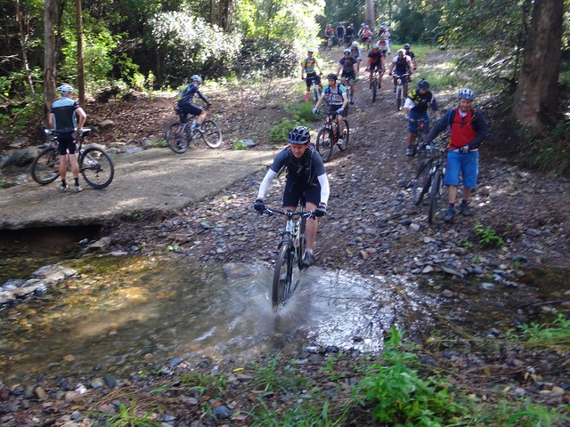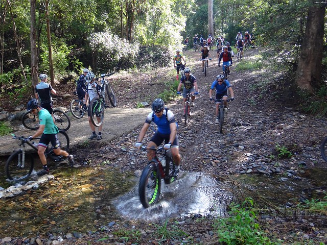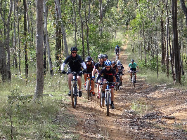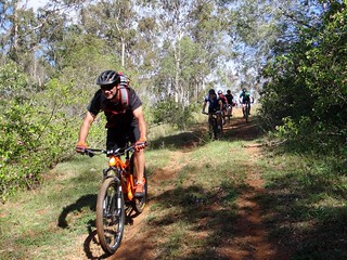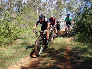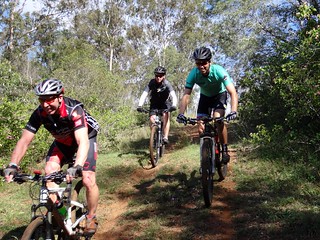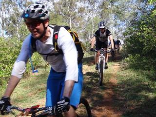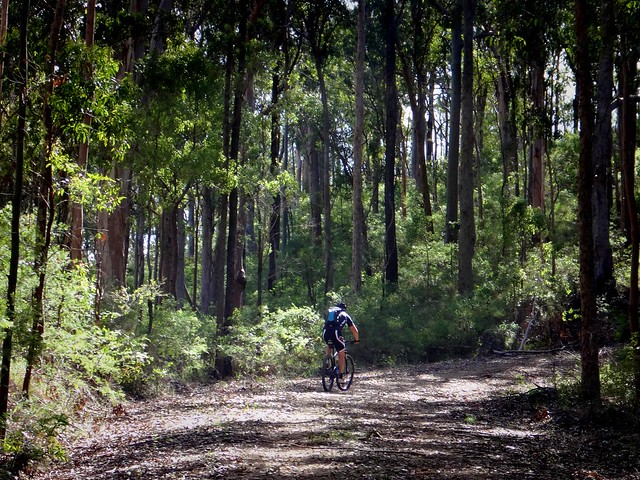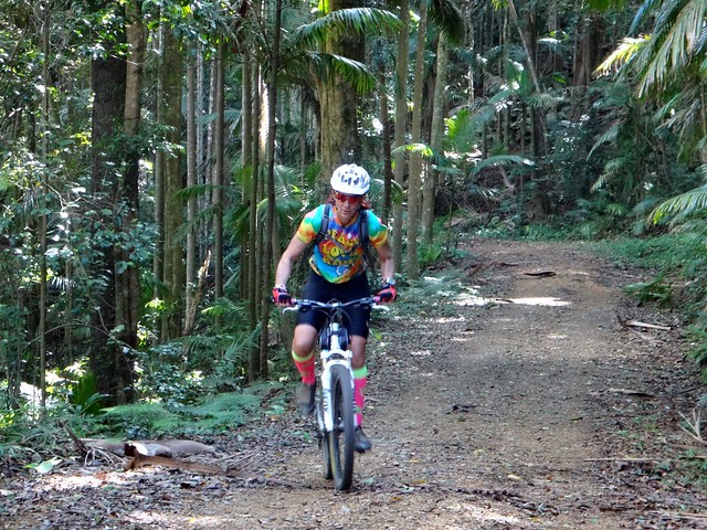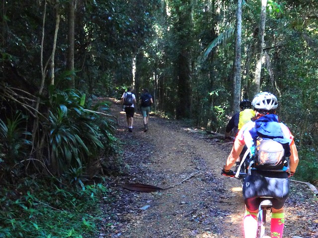
I love riding with large groups of friends, and was delighted when thirty eager riders turned up at the top of Mount Glorious for a tough ride.
The “Super V” trail starts in mountainous terrain at the top of the D’Aguilar Range, running all the way down to England creek, before a gruelling climb back up to the top. We thought we’d make this outing a little more interesting by adding an extra loop of hills and creeks.
The result was an exhausting but stunning adventure through one of South-East Queensland’s most scenic areas.
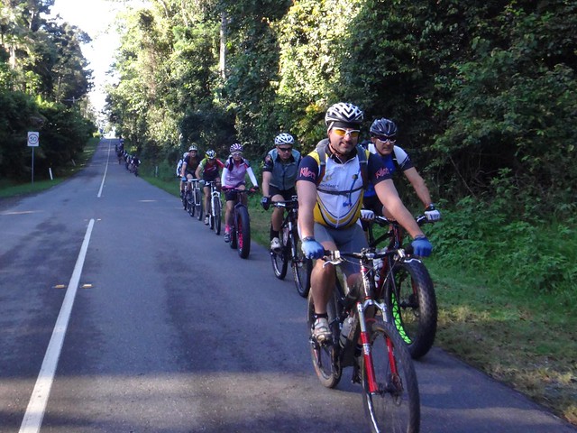
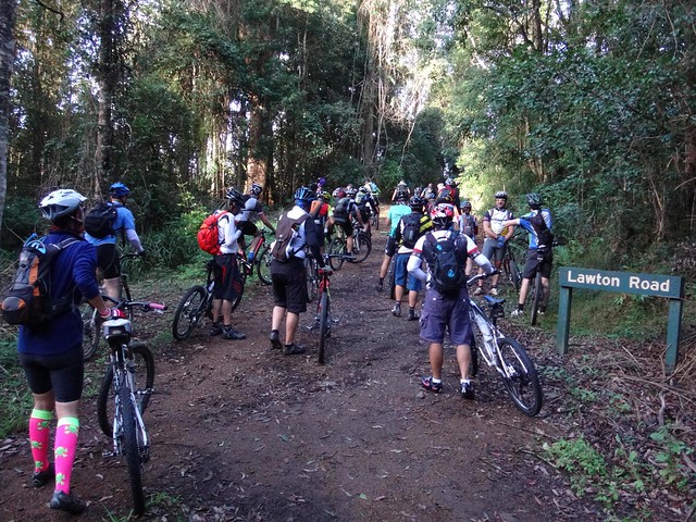
We left the paved road after a few minutes and turned into Lawton Road. Despite bureau forecasts of rain, this was a perfect day with blue skies and a cool breeze – perfect for exploring new places on a mountain bike!
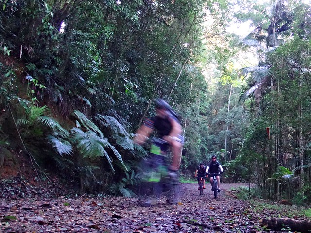
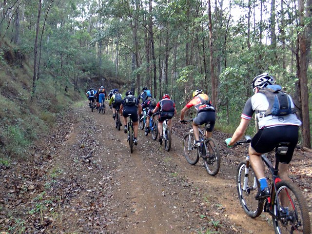
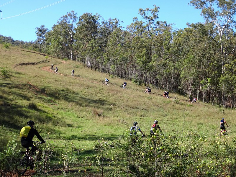
Lawton Road drops sharply. As I stood in the leaf-litter by the side of the track dozens of bikes whizzed past me in a blur of colour.
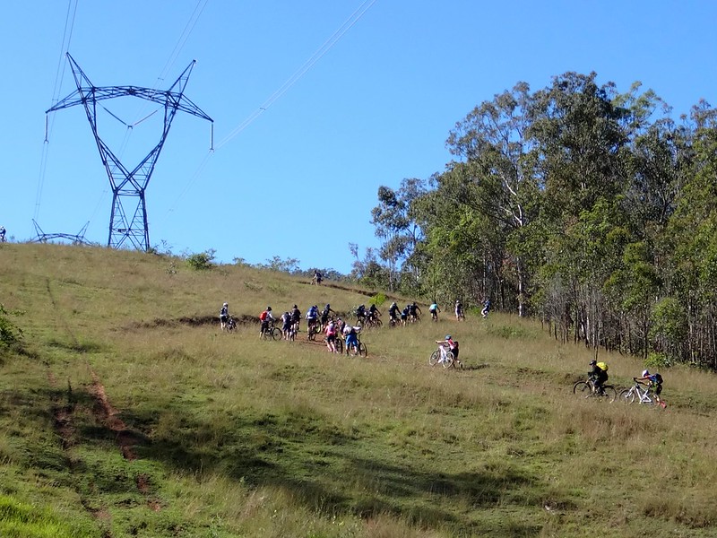
One of the tenets of Mountain Biking is that if you borrow from the Gravity Gods, you eventually have to repay them. After our quick roll down the hill, the first climb of the day to Northbrook mountain spread the group out as we worked back up the hill.
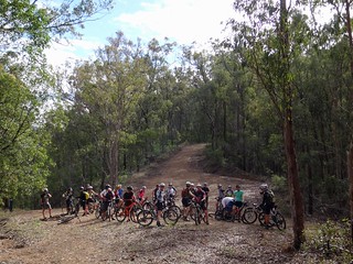
At the top, a happy group of riders waited for everyone to catch up.
This would be the pattern for the day. The stronger riders reaching the crests of the hill first, then patiently waiting till we could all regroup.
Together, we started our long roll down from the top of Northbrook Mountain.
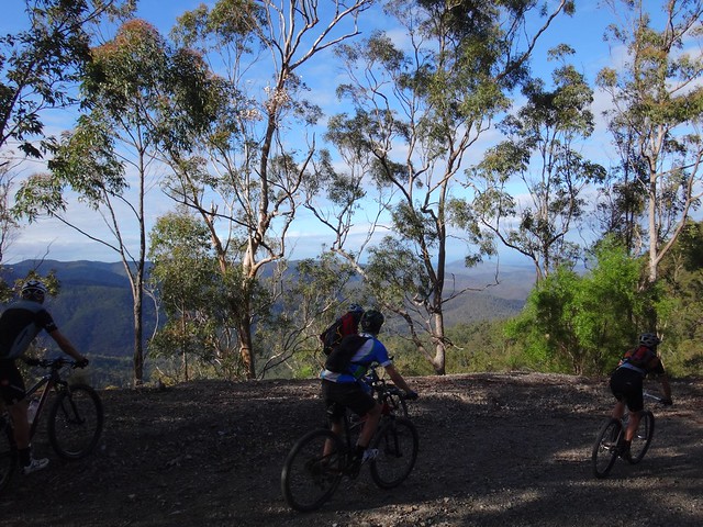
Most of us slowed briefly during the rapid descent to soak up the breathtaking views of the D’Aguilar Range.
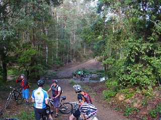
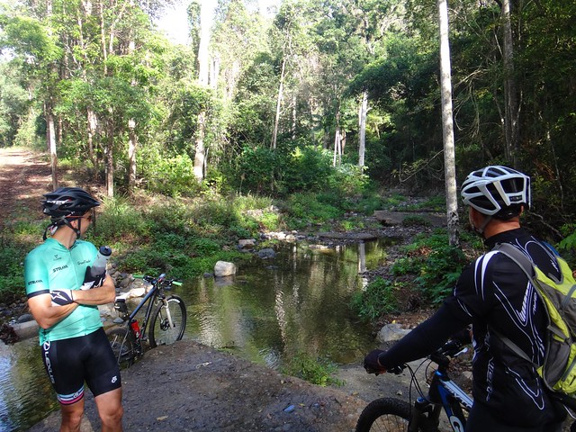
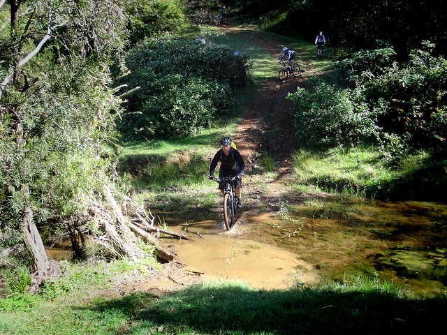
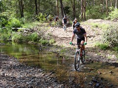
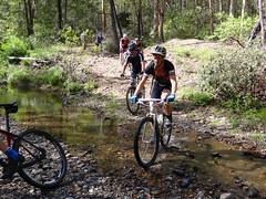
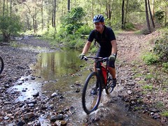
England Creek has several branches at the bottom of the range. This was one of many times we would cross different branches of the creek.
England Creek “Bush Camp” is a popular camping spot for hikers in the National Park. Today we just stopped for a few minutes to regroup and have a quick snack.
We then splashed through the creek for our second climb of the day up to the cross-roads at the bottom of Joyners Ridge Road.
I grinned to myself as I listened to the tinkle of bellbirds in the trees, mixed with the crunch of tyres on gravel, and the happy chatter of riders talking to each other as we rode up the hill. At that point I wouldn’t have wanted to be anywhere else.
We regrouped at the crossroads before heading west.
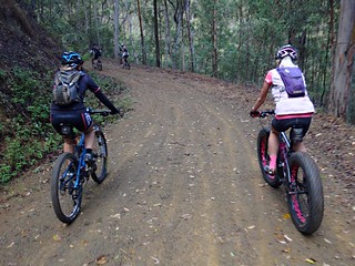
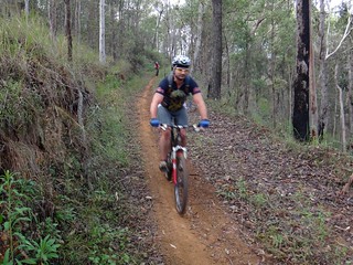
Although it’s still called “England Creek Road”, the trail here is more of a steep single-track following the undulations down the range.
Like passengers on a roller-coaster we rolled down a few steep sections before grinding our way up a few inclines – but slowly losing altitude and taking out another huge loan from the Gravity Gods that would eventually have to be repaid.
Down, down we rolled until we finally crossed England Creek for a second time.
At the bottom of the range, it was time to repay our debt.
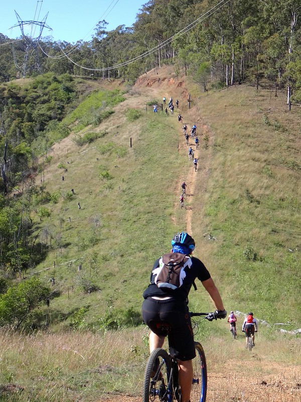
Some of the hills are huge.
What impressed me most was guys like Lance and Glen who rode up those climbs on single-speed bikes (no gears) while many others had to walk.
The climb was relentless. I watched my riding buddies grind back up the range, like ants scurrying up the side of an anthill.
And then a brief respite as we coasted downwards to cross England Creek for a third time.
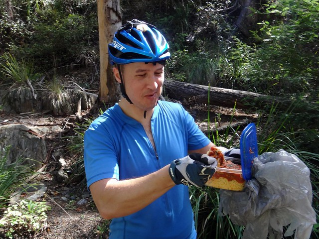
A few of us took the opportunity to have a break and a bit to eat. Chris had a feast on pasta – “The food of champions”. Maybe that’s why he got to the finish before me 🙂
The last climb of the day was up Joyners Ridge Road.
From the creek to the top it climbs 730 metres in the space of ten kilometres. It’s not super steep, but it’s a long way to the top.
Climbs like this at the end of a long ride tend to spread everyone out as they dig deep to make it back at their own pace.
The rainforest at the top of Joyners Ridge is always a welcome site. For me it means the end of the long climb, and a chance to catch my breath.
As I rode at the back with Sue and Darb, we passed a few hikers.
“Are our friends very far ahead of us?” I asked.
“They passed us twenty minutes ago”, the hikers replied.
Ah well… there was no rush. We just enjoyed the lush rainforest as we rolled through it.
We eventually caught up with everyone at Maiala cafe where we had a well-earned lunch.
All up we rode about 36km climbing about 1,500m in vertical ascent.
It took me just under 5 hours, and I burned 2,600 kcal.
This is a tough ride – even in cool weather.
I’m rating it 9 out of 10 on the tough-o-meter. I wouldn’t recommend doing this in summer.
Thanks everyone for a great day out.
Congratulations to Nick, Becca, Aaron, Peter and Adam who rode up from Bunyaville making this a 130km ride with over 4,500m of ascent in 8 hours. I stand in awe of the effort you guys put in.
And well-done to Lance and Glen for surviving this ride on single-speed bikes. That takes a lot of strength. I don’t know how you did it!
Here’s Darb’s video of our fun…
Total climbing: 2043 m
Average temperature: 16.9
Total time: 04:55:39
More data


