Lake Manchester

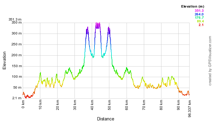
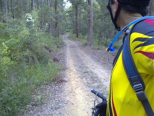
This was a huge ride, starting with a tough 5km climb at the start and a gruelling 7km climb towards the end. It was worth it for the tranquillity of being out in the bush exploring new places.
Cabbage Tree Creek
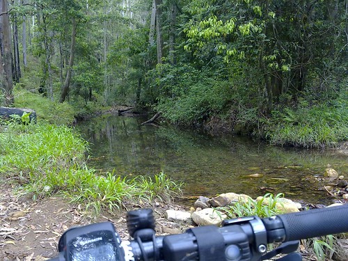
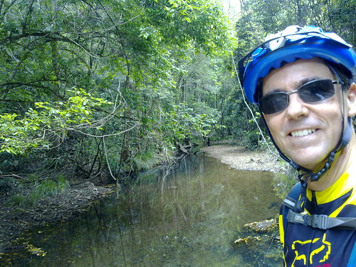
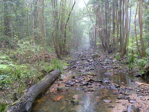
After climbing “The Goat Track” I took Lightline Road down to Lake Manchester. It’s descends steeply for about 8km, which is fun. The only problem is that what goes down must eventually come up! This is Cabbage Tree Creek which flows down from the D’Aguilar Range into Lake Manchester.
Prickly Pear
I rode back up to Mt Nebo via Cabbage Tree Range Road. I love hill climbs, but this one was hard work and just kept going for about 7km. About half way up I conked out and had a large Mars Bar to try and get going again. That’s when I spied this Prickly Pear clinging tenaciously to a rock.
Scarred Tree
Rainforest Eucalypt
Once back at the top of the range, I saw familiar looking markings on a huge Eucalyptus. I think they’re aboriginal scar marks – similar to what I saw at the Wights Mountain Bora Ring. This area is part of the traditional country of the Turrbal people and perhaps they made these marks sometime in the mid 19th century.

It was a great feeling to be back on top of the range again. The air was cooler, I knew the ride was mostly downhill from there, and the sound of the Bellbirds was magical. They really do sound like bells!

Total distance: 34.35 km
Total climbing: 1229 m
Average temperature: NAN
Total time: 04:38:23
Download file: activity_66637125.gpx
More data

Ewen Maddock Dam

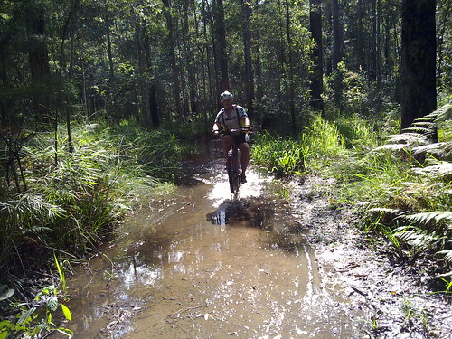
Rainforest, Lakes, Mud, Flooded Trails, Railway Tunnels and angry Goannas – just some of the fun things I discovered with Tim today as we explored Ewen Maddock Dam and Dularcha National Park.

Mono through the Mud
Even though most of the trails were pretty soggy from all the recent rain, they were still fun to ride.

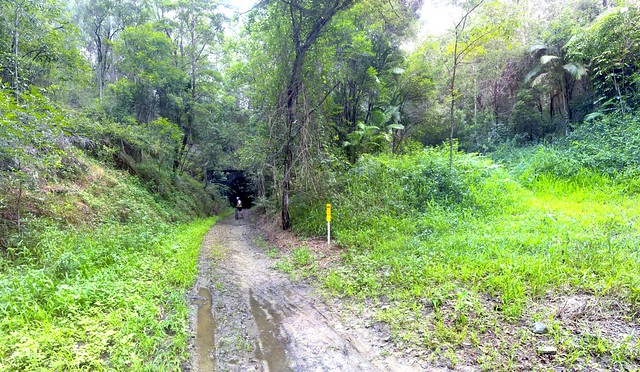
Dularcha Railway Tunnel
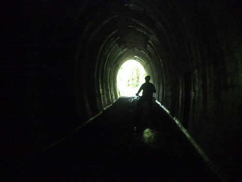
The Dularcha Railway Tunnel was built in 1890 as part of the original Brisbane – Cairns railway line. A newer, flatter route was built in 1931, when this particular section of the line was abandoned. It’s now part of the Dularcha National Park which contains beautiful rainforest.
Dularcha Railway Tunnel

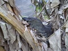
GoannaGoanna
At the end of the ride we met a beautiful goanna who let us get pretty close to take photos, but started hissing loudly at us to let us know he didn’t like us crowding him too much.


View Larger Map

Coonowrin

Coonowrin
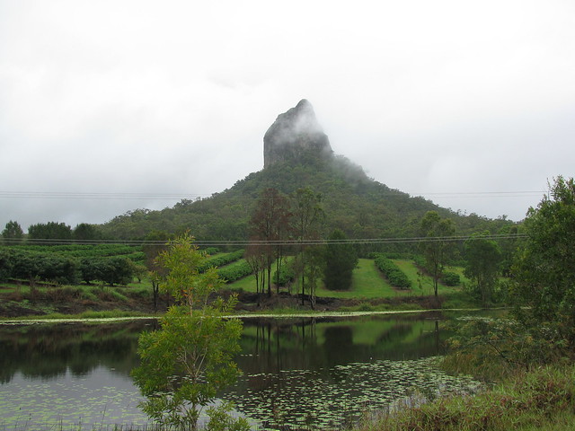
One of the Glasshouse Mountains. The rain stopped for a few seconds, and I thought I’d grab the chance while I could, despite the pesky power lines šŸ™‚

The legend of Coonowrin is as old as humanity. In the Dream-time, Tibrogargan needed to rescue his wife, Beerwah from a flooded creek. He asked his son, Coonowrin for help, but Coonowrin was cowardly and didn’t help his father.

In a rage, Tibrogargan struck his son, and broke his neck. Tibrogargan is now stone, and stands facing the sea to the east to this day, with his back to the son who disappointed him.

Beerwah is now stone too, but she forgave her son and faces him.

Coonowrin is now stone, too. And as you can see from this picture, his broken neck is still visible – testament to fiery emotions that can exist between parents and children in times of crisis.

The incident caused many tears, which is why there are so many small streams in the area.

Total distance: 29.25 km
Total climbing: 412 m
Average temperature: NAN
Total time: 02:57:31
Download file: activity_58705935.gpx
More data

Beerburrum State Forest

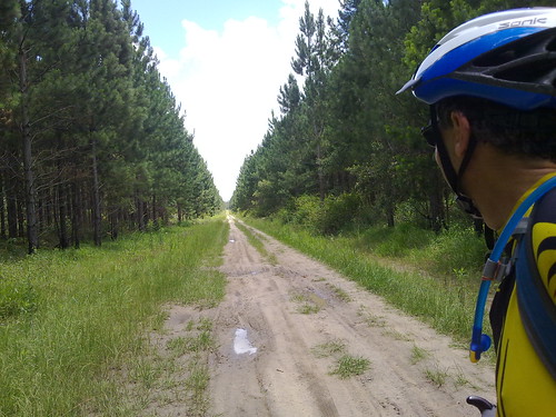
A Road Through the Forest
Beerburrum State Forest is full of tracks, roads and trails. Some of them wind through the trees. Some of them, like this one, go on for ages in one direction.

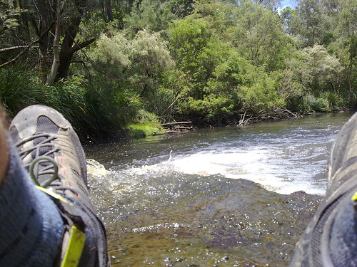
Chilling by the Creek #1
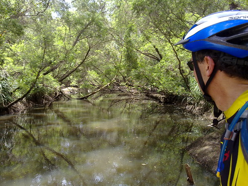
Elimbah Creek winds through the forest crossing the roads in several places. Not all the tracks have bridges, so if you don’t want to get wet feet it’s a good idea to plan the route beforehand.
Chilling by the Creek #2

Total distance: 60.42 km
Total climbing: 449 m
Average temperature: NAN
Total time: 03:15:46
Download file: activity_58022889.gpx
More data
Diana’s Bath (Almost)

I tried to ride to Diana’s Bath today. It’s up in the D’Aguilar Ranges half way between Dayboro and Kilcoy. It’s about a 100km round trip from my place and I would have made it except I ran out of time. But I’m happy with my efforts to get within 5km on my first attempt.

Mt Pleasant
A stand of Hoop Pines and Bunya Pines grow along the upper reaches of the North Pine River in Mount Pleasant.

Surveyor Robert Dixon drew a map of the area in 1842 and noted a “Bunya Scrub Camp” on the upper reaches of the North Pine River (he called it the Eden River). But I think this bunch of trees is even further up the river than Dixon surveyed.

Upper Reaches - North Pine River
This is the source of the North Pine River. It continues for another kilometre upstream from here in the rainforest. This is the same river that passes within 500m of our house on its way to the sea about 50km downstream.

Byron Creek
Byron Creek flows westwards into Reedy Creek and eventually into the Stanley River before it meets the Brisbane River near Esk.


View Diana’s Bath in a larger map
This map gives an idea of how close I got. About 1.5km as the crow flies, but about 5 on the road.

Total distance: 96.55 km
Total climbing: 1903 m
Average temperature: NAN
Total time: 06:50:03
Download file: activity_57384445.gpx
More data
Mountains to Mangroves

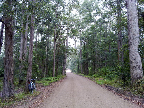
I did a pretty long ride today. From our place I headed out to Samford, then up into the D’Aguilar Range to Mt Nebo, down some beautiful dirt tracks to The Gap, then along some cycle-ways to the Moreton Bay Bike way through the mangroves in the Boondall Wetlands, and back home. This was a solo ride. I’ve done similar distances with friends before, but this was the first time I did it by myself, which meant I rode a lot more conservatively than if I was in a group.

That’s not to say I didn’t have setbacks. I got a flat near Samford, which wouldn’t have normally been a problem. But I have tubeless tyres. When they go flat on the road, you have to stick a tube in. But my bike has thick rims, and the tube stem didn’t poke out far enough for me to lock the pump on it. Eventually I figured out if I screwed on a presta / schraeder adapter, I could inflate the tyre through that instead. But it took me three-quarters of an hour to figure out how to do it. (Next time it will take 10 minutes).

South Boundary Road
South Boundary Road is a beautiful track which runs from Mount Nebo to The Gap and passes through lush rainforest and open eucalypt bush land. On any weekend it’s a free-way for mountain bikers šŸ™‚

Which way?
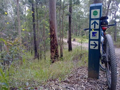
Lots of trails branch out from South Boundary Road. Even with a GPS I missed one turn – the same turn I missed last time. Thankfully there are lots of signposts to show the way.

Mt Coot-tha Forest
The southern end of Brisbane Forest Park borders Mt Coot-tha forest, which has been set aside by the Brisbane City Council.

It has miles of trails to ride as well.

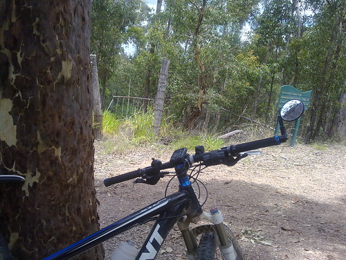
I couldn’t resist leaning the bike up against a large spotted gum and taking a picture of this old wrought iron gate in the middle of nowhere.

Bikeways
After leaving the forests of the D’Aguilar Range I headed east towards the coast.

Thankfully most of the way is via bike ways which go through the many parks that line the creeks on their way to the sea.

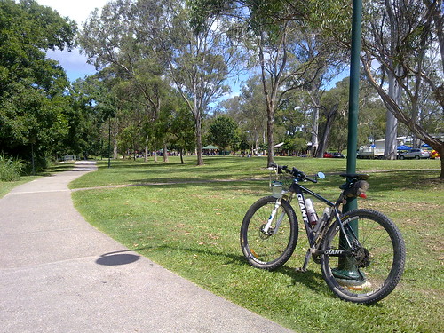
Kalinga Park is usually full of people enjoying a picnic lunch on a Saturday. Today was no exception

All up, 112km with 1750m of vertical ascent. 5,800 kcal burned. (That’s a lot of Gatorade :)).

Total distance: 114.67 km
Total climbing: 1955 m
Average temperature: NAN
Total time: 09:14:18
Download file: activity_56471708.gpx
More data
Camp Mountain Railway

As part of my project to explore the site of the old railway line between Ferny Grove and Dayboro I cycled out to Ferny Grove today. Today this is the terminus of the Queensland Railway’s Brisbane to Ferny line.

End of the Line


But before 1955 this line went all the way to Dayboro.

The old railway track rises out of Ferny Grove and winds slowly up Camp Mountain. Even though the gradient is low (less than 5%) the train would have struggled slowly to the crest of the hill, after which it would pick up speed as it rolled down into Camp Mountain Station.
Camp Mountain

In May 1947, disaster struck. After reaching the top of climb at Camp Mountain, one train accelerated too quickly downhill and crashed at this site as the track curved sharply to the left.
Crash SiteCrash Site

16 people were killed as carriages telescoped into each other.

Today it still stands as Queensland’s worst ever rail disaster, and the second most tragic rail disaster in Australia’s history after Granville.

Total distance: 78.19 km
Total climbing: 1340 m
Average temperature:
Total time: 05:38:40
Download file: activity_54798328.gpx
More data

Point Glorious and Browns Creek

I thought I’d explore some of the forest up in the hills to the west of Yandina.

There are some awesome trails in those hills, and the forest is beautiful.

Unfortunately it was raining quite heavily and the clouds blocked out any view from the lookout.

One of the hills on Browns Creek Road was heart braking, and actually beat me. It was a continuous rocky and muddy climb in excess of 20% for about 3km. The gradient was fine, but when I stopped, I was unable to clip into the pedals again, and had to walk a couple of hundred metres up the steepest part.

Browns Creek
Browns Creek. Gorgeous. What more can I say?
Browns Creek Road
Browns Creek Road
Point Glorious
The view from Point Glorious.

Total distance: 71.5 km
Total climbing: 812 m
Average temperature: NAN
Total time: 05:02:04
Download file: activity_49765828.gpx
More data