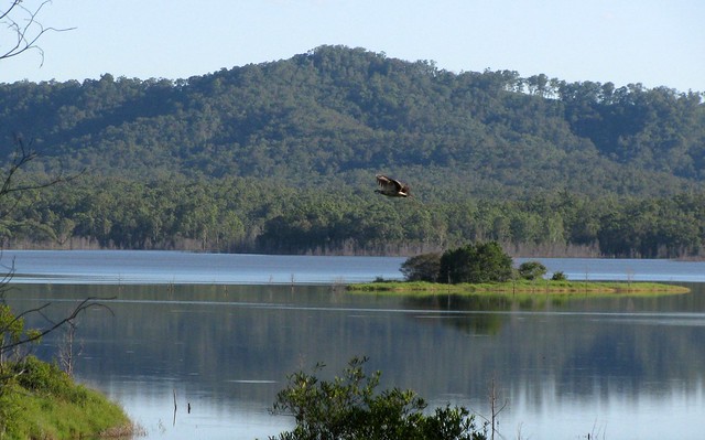
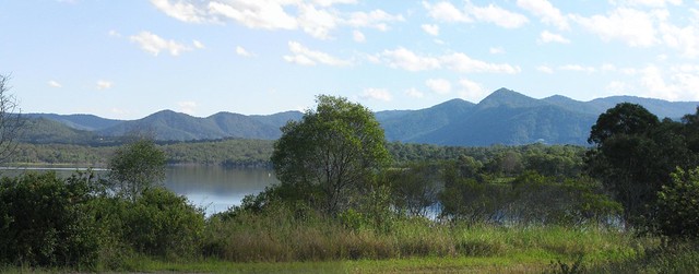
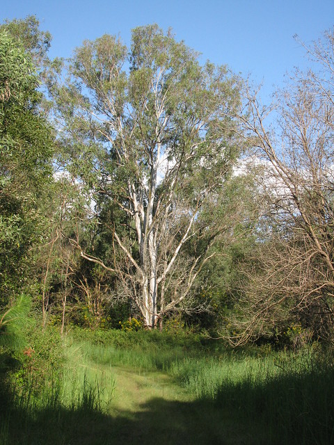
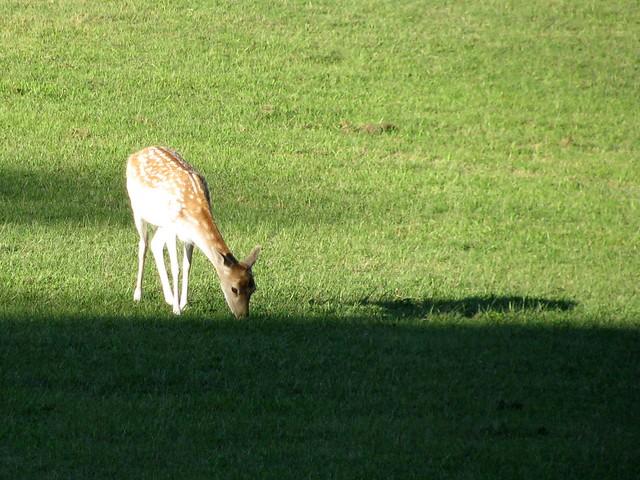
The afternoon was too pleasant to spend in the office, so I took a walk along the northern shoreline of Lake Samsonvale.
This area was known as “Harrison’s Pocket” before the dam was built. But now the town of Harrison’s Pocket, with its post office and school only exists on old maps.
The landscape has changed completely.

The lake is now an important habitat for many different species of water-birds.

The western part of the lakes covers what used to be known as the town of Samsonvale named after Mount Samson which towers over it to the west.
None of the old town remains except the cemetery on the shore of the lake.

The land to the north of the lake has some beautiful quiet trails.
Total distance: 6.72 km
Total climbing: 298 m
Average temperature: NAN
Total time: 01:22:21
Download file: activity_78743833.gpxTotal climbing: 298 m
Average temperature: NAN
Total time: 01:22:21
More data


