After our scenic ride out to Sheffield and back, Darb kindly offered to take me on a few more short but enjoyable rides in Northern Tasmania.
1. Iron Tor
In early March, the sun gets up quite late in this part of the world, due to a combination of daylight saving, southerly latitudes and westerly longitude. Penguin, Tasmania, is further west than Charleville in Queensland.
So I had a sleep-in and we started our day about ninety minutes later than we would have in Queensland.
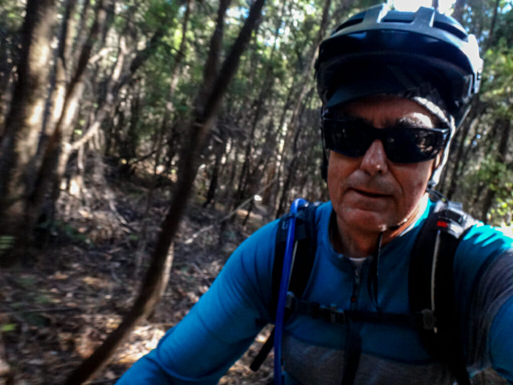
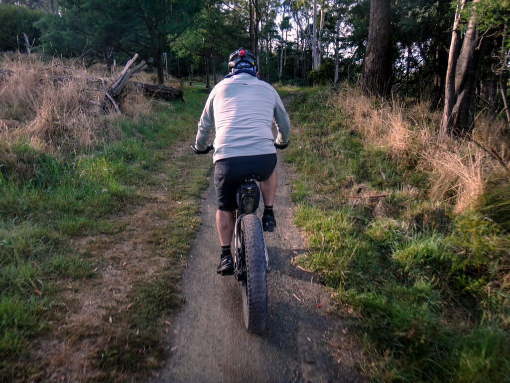
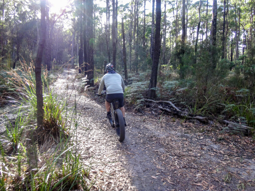
We started our ride at the Mount Montgomery Track near Penguin, following a slow twisting climb through dense she-oaks up the hill towards the summit.
About three-quarters of the way to the top, the track forked. Rather than hike the remainder of the way to the summit, we took a right-hand turn and zig-zagged down the hill for a few kilometres, happily surrendering our hard-earned elevation for some exciting downhill fun.
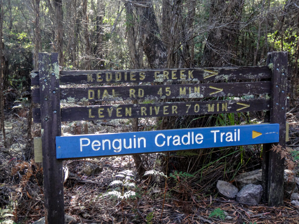
The trails were well maintained and signposted.
If you’re keen, you can even hike all the way to Cradle Mountain from here – seventy-five kilometres away.
I wasn’t interested in epic journeys to far-off places, content to be able to simply ride through some beautiful trails with a good friend.
After the easy descent from Mount Montgomery, we had a long climb back up the hill towards Mount Dial.
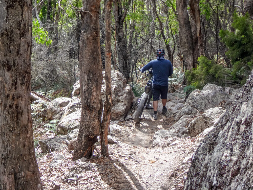
It was a steep and rocky climb which took well over an hour.
I found it hard keeping up with Darb.
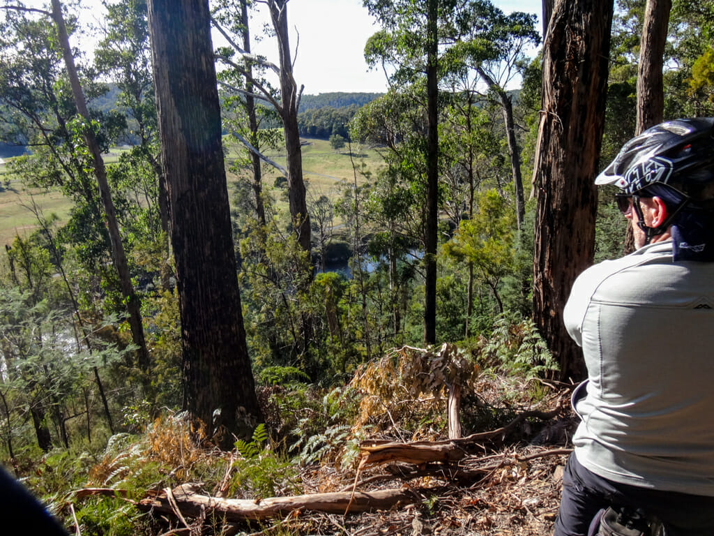
I’m not sure if he just stopped to give me a chance to catch up, or if he really was just enjoying the view, but I was grateful when I eventually caught up with Darb half-way up the hill.
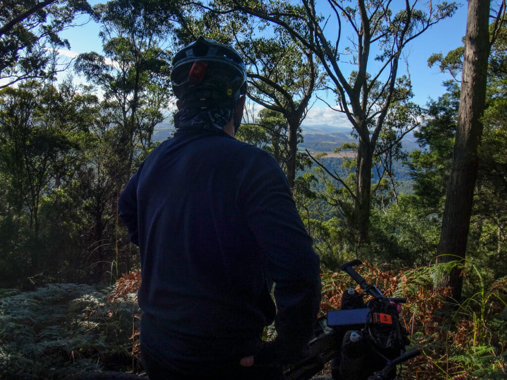
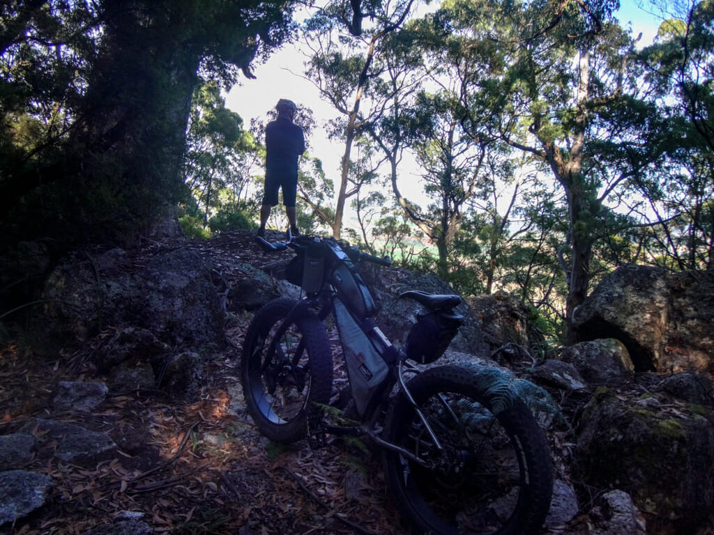
There were impressive views through the trees of the Leven River Valley.
A little further up the hill we met a couple of other riders and asked them about good places to ride.
The summit of Mount Dial wasn’t far away – they suggested we check it out….
…so we pushed up a couple more hills.
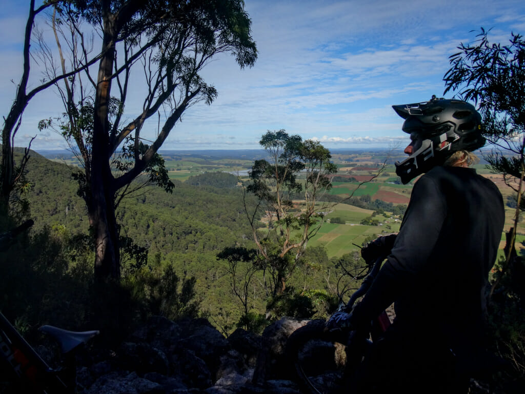
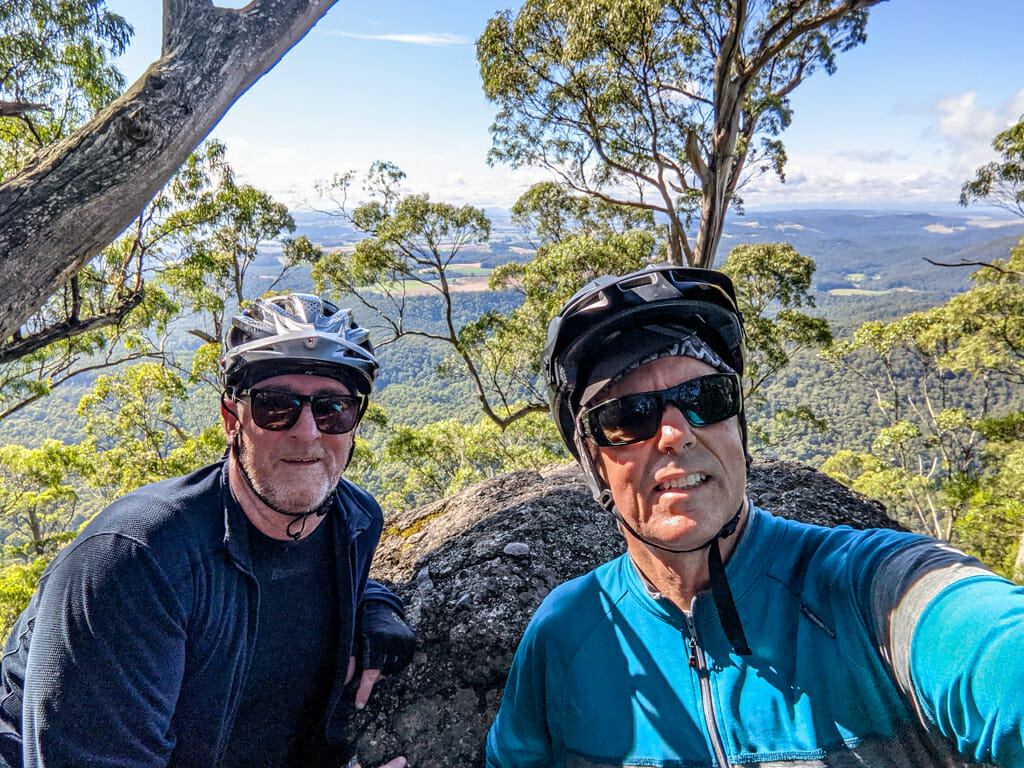
From the top of Mount Dial, we had some great views East back towards Devonport.
This had been a tough climb.
The breeze felt cold against my sweaty jersey as it rustled through the tops of the gum trees.
We admired the scenery, while I thought to myself “This is why we ride”.
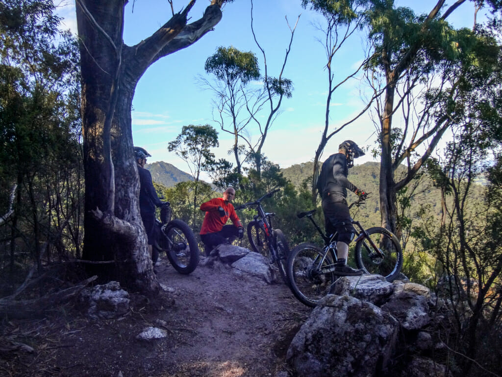
A little further round on the other side of the summit we discovered the top of the Iron Tor Downhill track.
“Come on Darb, let’s get another photo of the view!”
Thanks for indulging me, Darb.
Crazy downhillers launch from here, guiding their bikes down the twisty narrow trail as fast as they can, hopeful they’ll get to the bottom in one piece.
We took it a bit slower, walking over the more treacherous bits before enjoying a twisting descent back to the start.
Total climbing: 586 m
Average temperature: 14.5
Total time: 02:55:45
More info
It surprised me to learn that we only rode 13.5 kilometres in three hours. It felt like a lot longer.
During that time we climbed just under 600 metres and I burned about 1,500kcal.
I’ll rate this one 8.5 out of 10 because of the tough climb to get up to Mount Dial.
Take it easy on the descent from Iron Tor – it’s very rocky in places.
2. Warrawee
A couple of days later we returned to the single tracks at Warrawee near the start of the Wild Mersey Trail.
Last time we just passed through this section of beautiful bushland on our way to Sheffield.
Today we wanted to explore it in more depth.
The tracks follow forest-clad hillsides overlooking a horseshoe-shaped section of the Mersey River aptly named “Big Bend”.
From the side of the hill we could make out the “Big Bend” of the river as it slowly twisted around the undulating terrain.
We followed the track around the hillside, down towards the river.
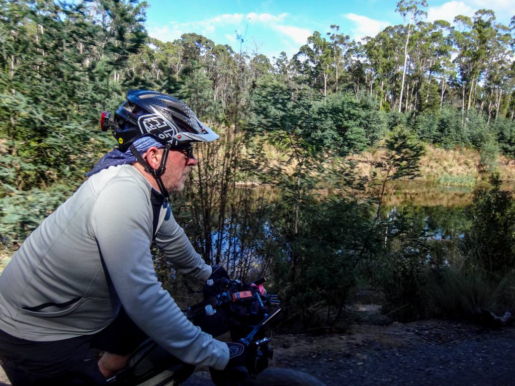
We stood a while on the banks of the Mersey River soaking up the scenic surroundings, listening to the water bubble over the smooth stones.
Sometimes in the mad rush of following a single track through trees, it’s easy to forget that places like this are best enjoyed slowly. 
I followed Darb through the ferns… 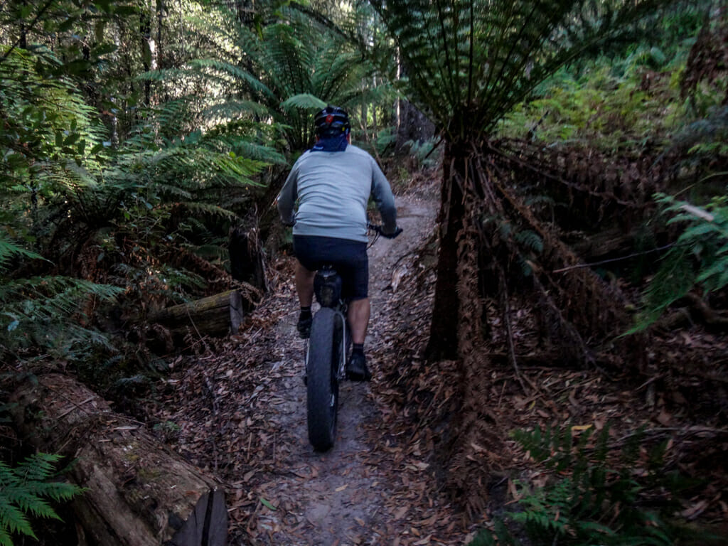
… and back up the hill.
Another downhill segment beckoned.
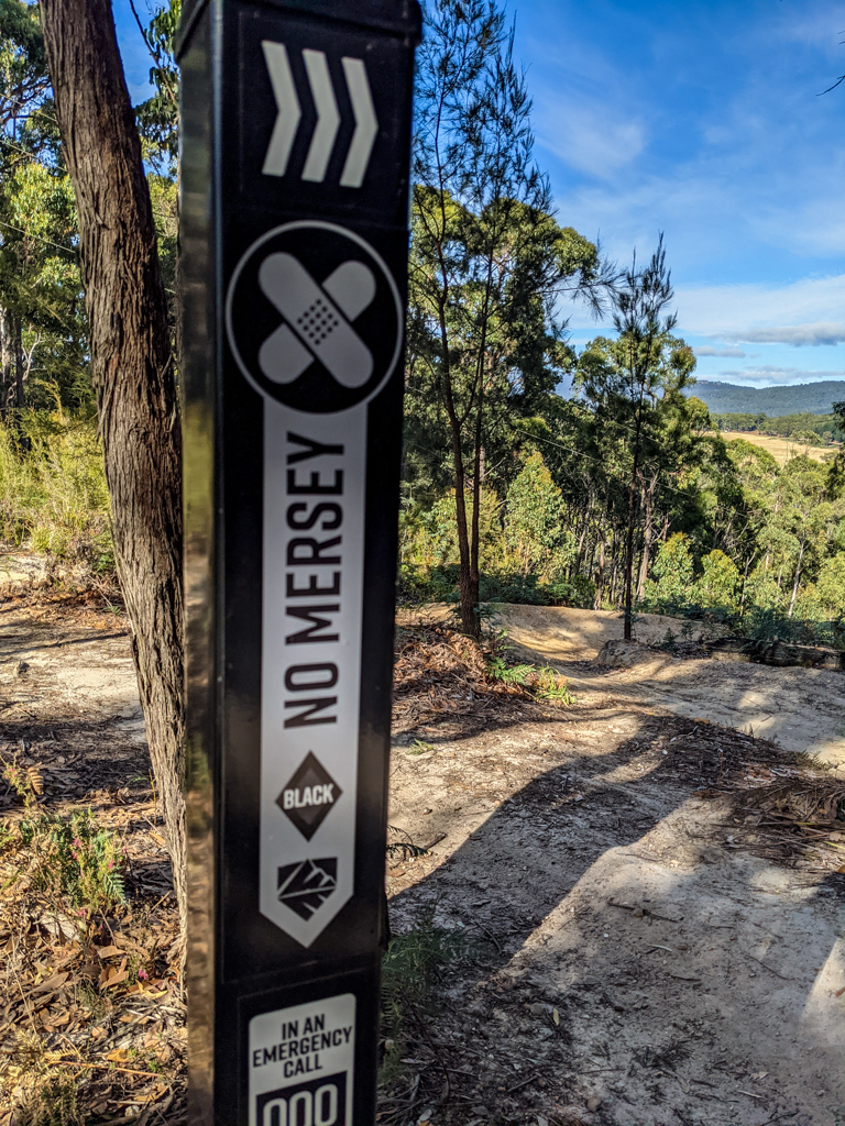
There were three choices: an easy track named “Laughing Gear”, a moderate track dubbed “High Voltage” and a black diamond difficult track called “No Mersey”.
“Which one do you want to do?” my riding buddy asked.
I took the easy option and set off down “Laughing Gear”.
Our ride was over sooner than we had anticipated.
Total climbing: 325 m
Average temperature: 10.2
Total time: 01:38:16
More info
We rode about ten kilometres in ninety minutes.
During that time we climbed just under 350 metres and I burned about 1000kcal.
This was an easy ride with a couple of moderate climbs. I’ll rate it 6.5 out of 10 on the tough-o-meter.
Take your time to enjoy the views.
As we rolled back towards the car, Darb asked if I’d like to drive somewhere close for some more riding.
How could I refuse? ….
3. Moorland Beach
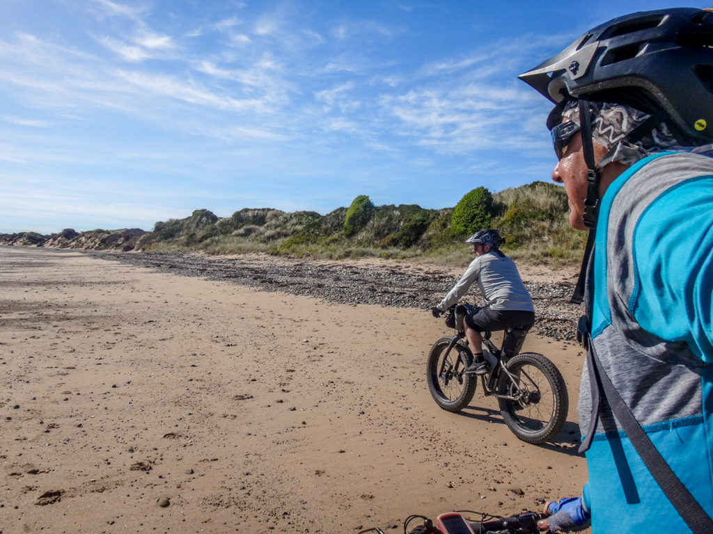
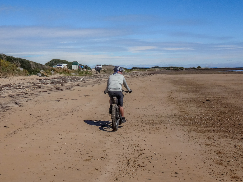
Still warm from our riverside ride at Warrawee, we drove down a dirt road to a secluded beach near Wesley Vale and unloaded the bikes for the second time today.
Moorland Beach lies between the mouths of the Mersey and Rubicon Rivers, east of Devonport.
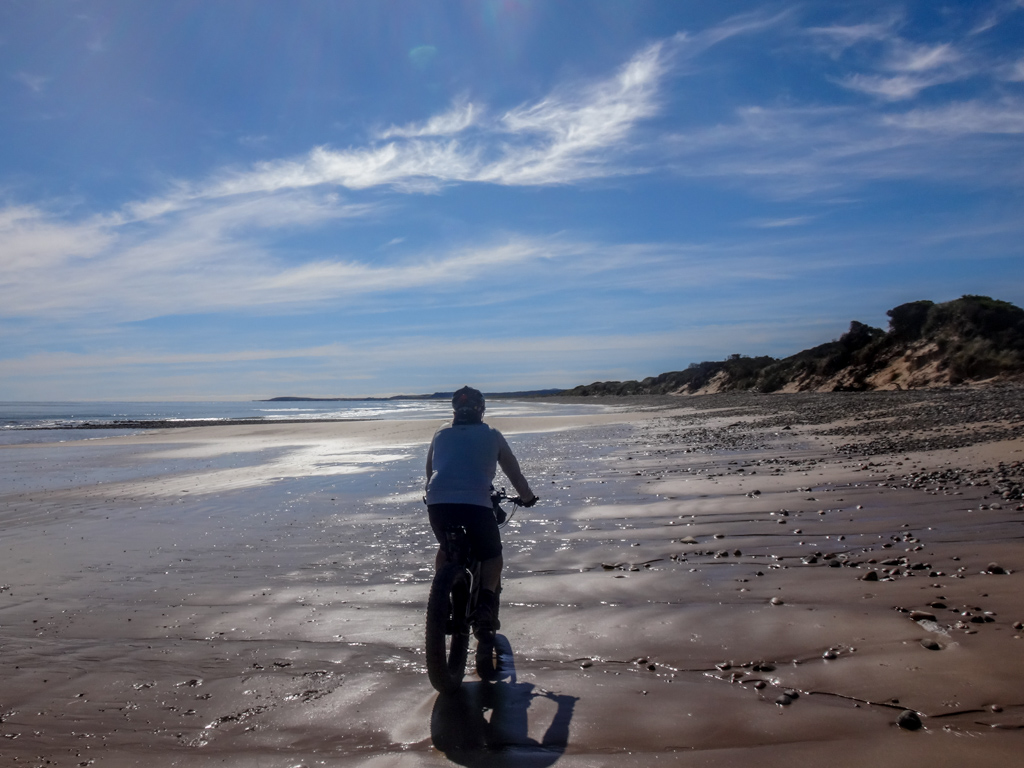
The tide had bottomed out, leaving us a wide stretch of firm damp sand on which to ride.
This was no problem for Darb’s fat tyres, and was ok for my standard 2.2 inch mountain bike tyres too.
We rolled eastward under the gentle Tasmanian sun, past a pair of horses walking lazily in the shallows.
Darb pointed to the dunes on our right.
“I tried riding through some tracks in there a while ago,” he said. “There were a lot of gates, and the farmer got annoyed at me when he discovered I was there, but he calmed down when he realized I was taking it easy and closing the gates after I rode through.”
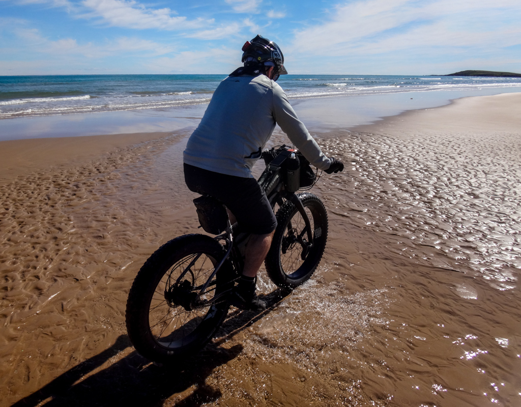
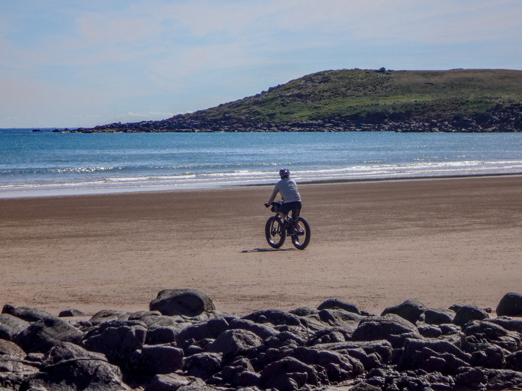
We splashed through shallow water towards the headland a few kilometers ahead…
… we had the place to ourselves.
Our tyres left solitary tracks through myriad balls of sand dug by millions of diligent crabs.
I didn’t t think the crabs would mind – in an hour or two the sand balls and tyre tracks would be washed away by the incoming tide.
We followed a simple plan:
Ride to the headland and have a look.
Turn around.
Ride back.
Simple pans are often best.
We retraced our tyre tracks westward. 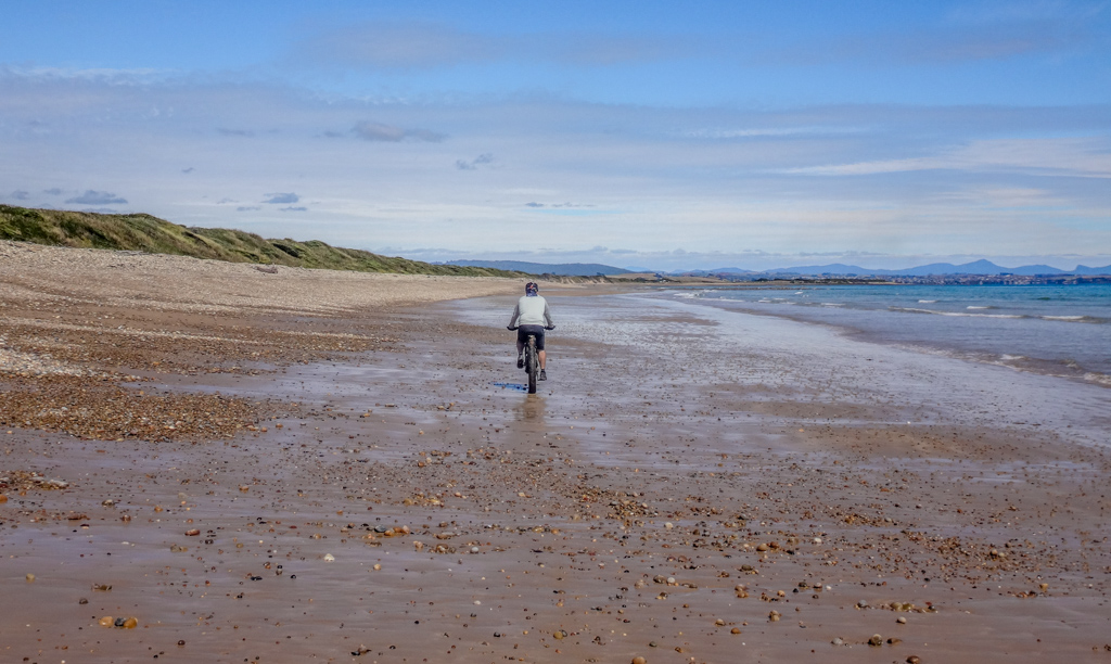
Our timing was perfect.
The tide started reclaiming the beach as we neared the end of our ride.
On the distant horizon I could make out Mount Dial where had ridden a couple of days earlier.
Total climbing: 76 m
Average temperature: 15.6
Total time: 01:14:06
More info
We rode about 15 kilometres in just over an hour over mostly flat terrain.
This was a beautiful relaxed ride – good for the soul. No rush – just one of those experiences that makes you glad to be alive.
Thanks Darb for showing me your beautiful part of the world. It was great to see you again.
Thanks again, Lukas, for letting me ride your bike.



















Hi Neil, Nice country & report.
Hope that you are going to check out the trails at Derby & St Helens while you are in Tas.
I am planning a trip there next year