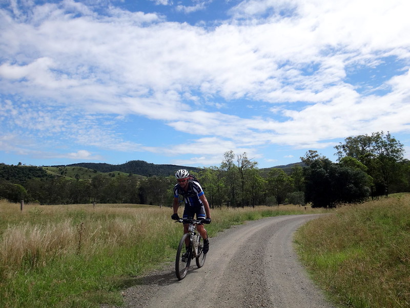
Have you ever been under a sky so huge that you felt like you were going to fall into it?
The vaulted skies above Anduramnba often seem like that when we visit.
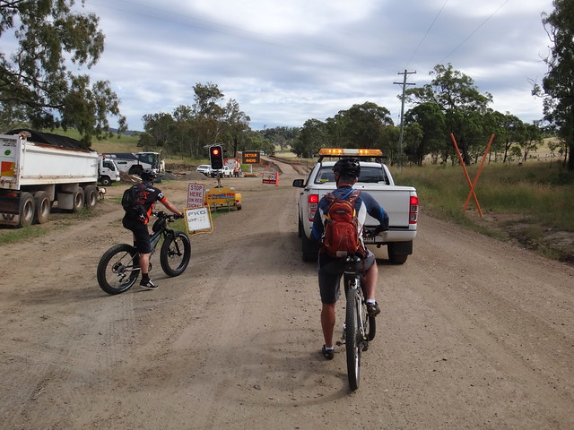
Anduramba Hall is remote, so we were very surprised when we were greeted with a bustling road crew flood-proofing some of the surrounding plains. After waiting for a few minutes at a traffic light (how strange) we rode off down McGreevy Road towards an old stock route.
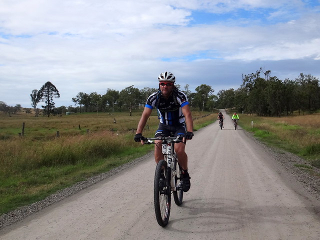
For a long time Eric has been wondering whether there would be q quicker way to ride from the Bunya Mountains to Brisbane. Last time he did it in four days via Nanango and Jimna. Using the route we rode today we think we could reduce this time to two or three days.

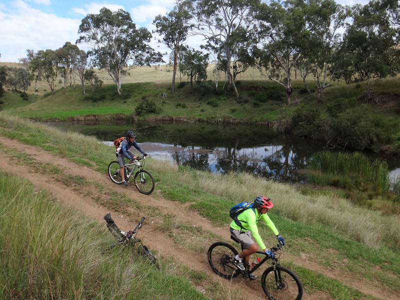
The straight gravel road quickly devolved into a delightful bumpy old track – the sort that cross-country mountain bikers love.
Aptly named “Stock Route Road” this track follows hilltop ridges north-west towards the mountains.
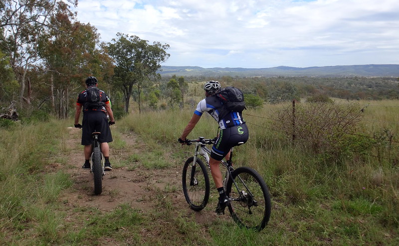
It was easy to imagine generations of drovers on horseback with their trusty dogs leading cattle down this track. Judging by the hoof prints and cowpats that we dodged, I’m sure it still happens today.
Jason and I wondered if this track was originally an Aboriginal pathway: it was relatively straight, following the ridgeline of hills, and crossed plenty of water. It also led towards the sacred Bunya Mountains. It’s quite probable that intrepid indigenous feet had used this track for thousands of years before us.
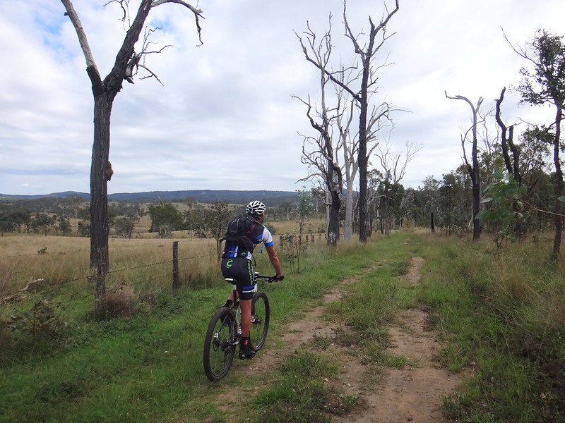

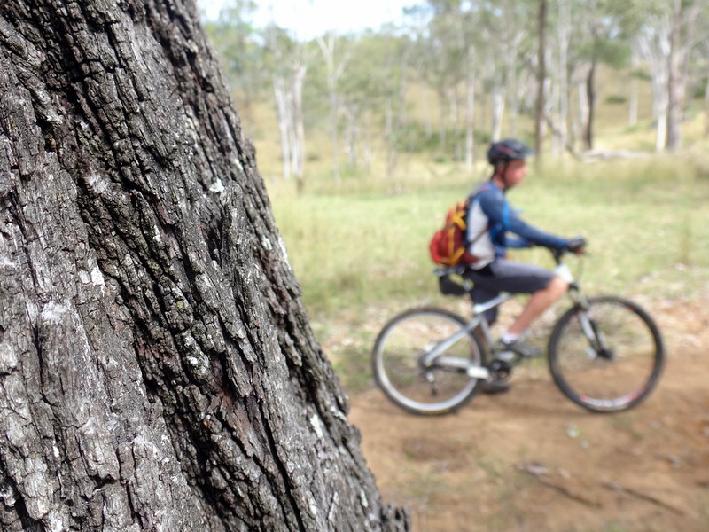
Our track took us past wizened dead trees, and old ironbarks as we slowly made our way upwards towards Mount Binga.
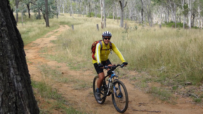
(Photo: Tony Ryan)
I was the slowest of the riders today, so my buddies kindly waited for me to catch up several times. I’m grateful to be able ride reasonable distances comfortably after my knee surgery, but it’ll take a while before I can ride as quickly as I used to.
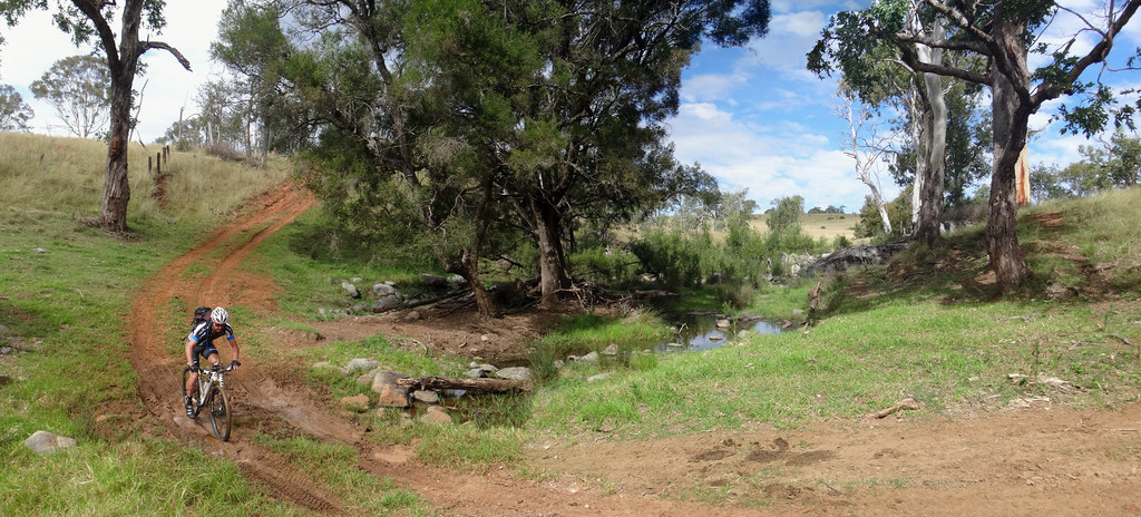
We crossed Emu Creek several times on the way through. Although the creek was flowing, I am often amazed how much rain this thirsty country can soak up and still seem dry. We’ve had some large falls of rain over the last few months, but you’d never know from the quiet trickle in the creek.

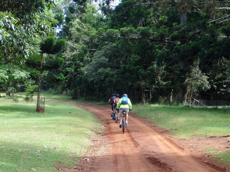
After a quick climb along a paved road to the top of the Blackbutt Range we rode through the Mount Binga Environmental Education Centre. We had visited here a couple of months ago and were glad to return.

The centre is on the top of the range, adjacent to vast plantations of Hoop Pines in the State Forest.
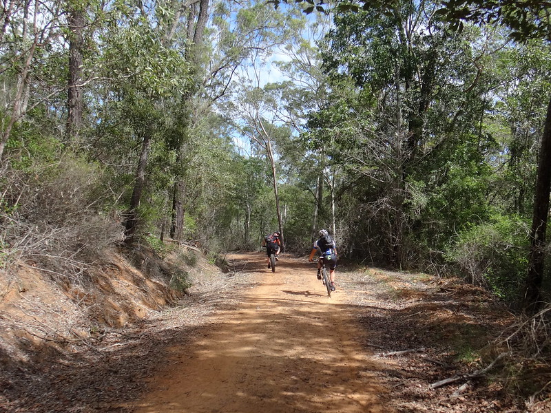
It was a fun steep descent after this point. As we rocketed down the hill, Darb and Jason skidded to a crawl just before a couple of wild pigs crossed their path.
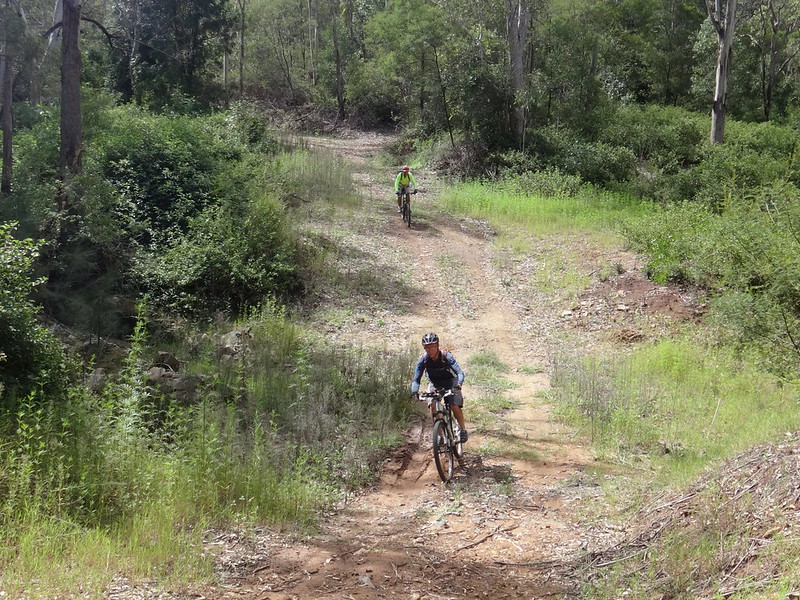
We successfully dodged the pigs, and made it safely to the bottom of the hill. (Sadly it’s impossible to take photos of wild pigs with one-hand while trying to control a bike plummeting downhill with the other hand – all while trying to avoid the pig 🙂 )
The Rowlings Family live adjacent to the state forest. We had contacted them the day before, and they had kindly given us permission to ride across their land.
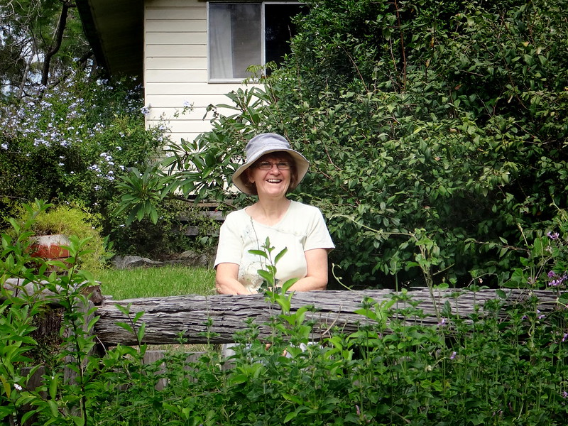
Mrs Rowlings came out to say G’day.
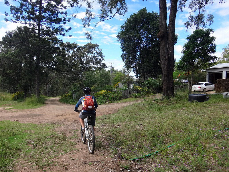
We followed the Rowlings “driveway” for almost five kilometres as it undulated over rolling hills under big blue skies. What a stunning place to live!
At the end of the driveway we re-joined the “main road”, a clay track, and started the homeward leg of our adventure.

Our plan was to follow McRae Road to the end, where (on the map) it appeared to rejoin the stock route. Unfortunately, at the end of the road, we were greeted with an unfriendly sign on a locked gate and had to detour for a couple of kilometres.
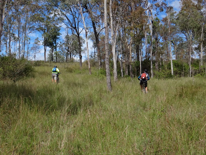
The detour forced us to “paddock bash” through some long grass to try and find the trail. We’ve grown so used to having to do this that we almost welcome it, although my friends often remind me of our overnight adventure in the Lantana: “I hope you brought your sleeping bag, Neil”.
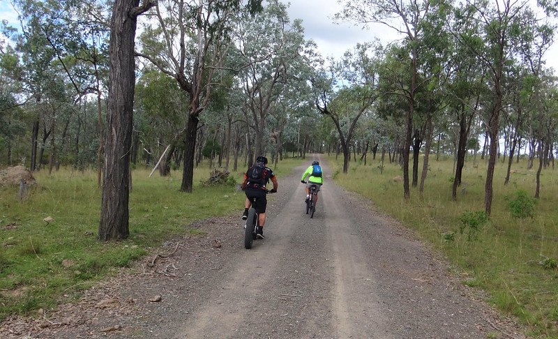
Travelling a trail in the opposite direction is just like riding a completely different trail. You see different things.

I caught up with Eric admiring the handiwork of this fine looking letter box…
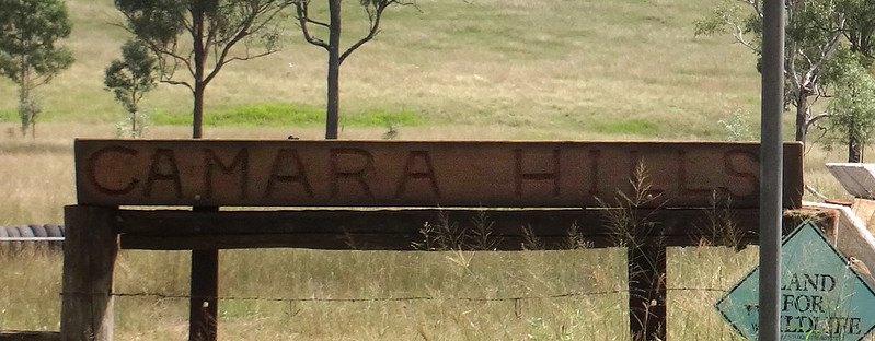
Some of the properties around here have unusual names…
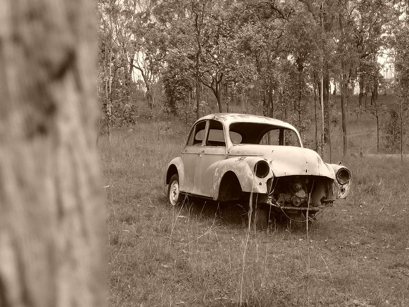
… and some of the cars are parked in unusual places.

Just before rolling back to our starting point, we came across this stump of an old scarred tree. Someone had thoughtfully capped the stump to preserve it.
Judging by the shape of the scar, my first thoughts were that it was an old survey marker.
Eric thought that it could have been of indigenous origin because there was no number in the middle of the scar.
Either way, it speaks powerfully to me: a reminder that people lived here long before I did, and that this land holds special significance.

I’m grateful we were able to experience its rugged beauty.
We rode 50km in four and a half hours including breaks. I burned 2,500 kcal as we climbed about 1,100m in vertical ascent.
I’ll rate this one 7.5 out of 10 on the tough-o-meter. The stock route is about 16km long and is rough in parts. It would be really sticky in wet weather, and the whole loop would also be thirsty work in dry weather – so you need to pick your time of year for the most enjoyable experience. Drier cooler months are best.
Thanks Eric, Darb, Jason and Mike for another memorable ride!
Total climbing: 1599 m
Average temperature: 24.9
Total time: 04:34:11
More data


