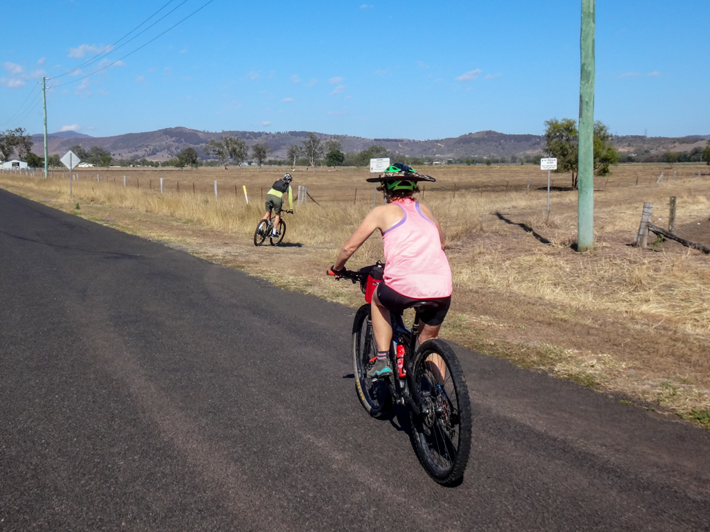
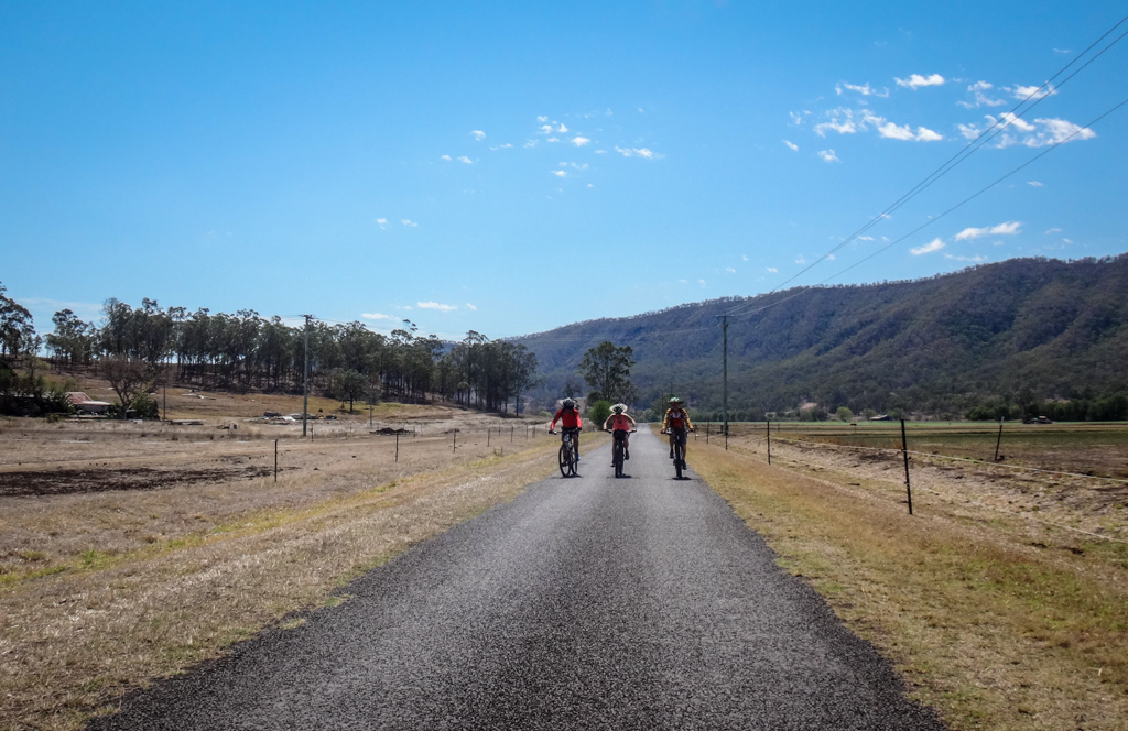
Today’s adventure took us on a scenic but challenging loop through the mountains and valleys south of Laidley.
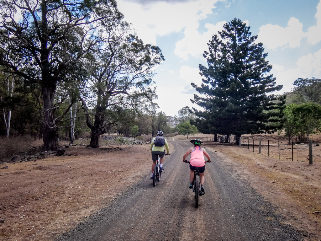
We followed Laidley Creek south, towards Mulgowie…
…following bumpy dirt tracks wherever possible.
Mountain bikers prefer dirt over paved roads. It gives us time to relax and enjoy the surroundings.
Dave passed us in his ute and stopped to say “G’day”.
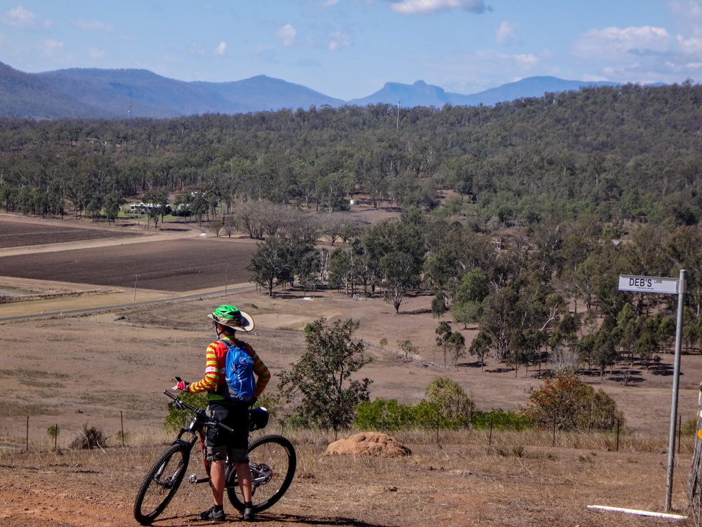
He invited us up to his hilltop property at Mulgowie to check out the views.
A few kilometres down the road, we turned into Dave’s driveway, and pedaled up the hill.

A steep dirt track with views – perfect!

Dave was right – the views were impressive.
Dave put a street sign at the top of his driveway and named it “Deb’s Lane” in honor of his wife, Deb.
Thanks for inviting us in, folks. You’ve got a beautiful home.
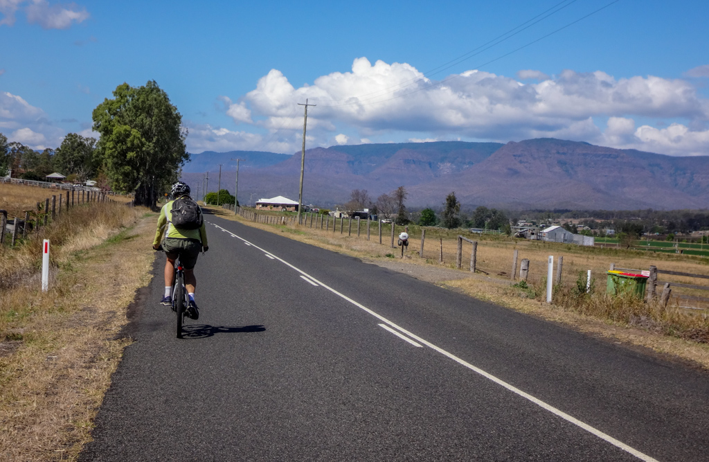
As we continued south down the Laidley Creek Valley, the mountains grew larger.
“We’re going over those hills” I said to Harrison.
Silently I wondered how my legs would manage.
This section is part of the Bicentennial National Trail. Hundreds of trekkers have come this way on bikes, horses, even camels. If they could do it, so could I.
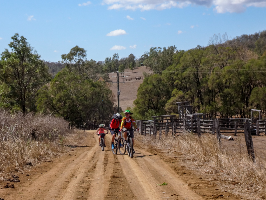
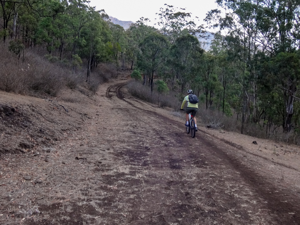
The paved road ended and the rough dirt began.
We clicked down a few gears and started working the pedals.
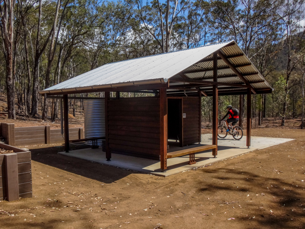
Paul checked out this impressive shelter and water tank next to the trail.
This would be a welcome sight for any trekker at the end of a long day.
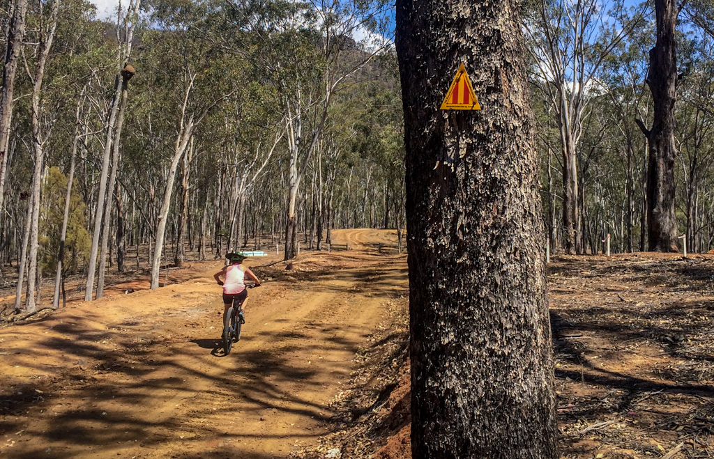
A friendly yellow marker pointed the way.
Onward and upwards.
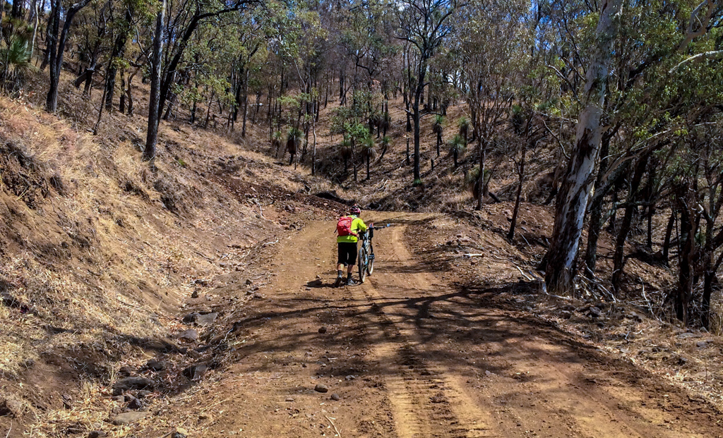
Towards the top, the track got too steep for me, so I got off the bike and pushed it.
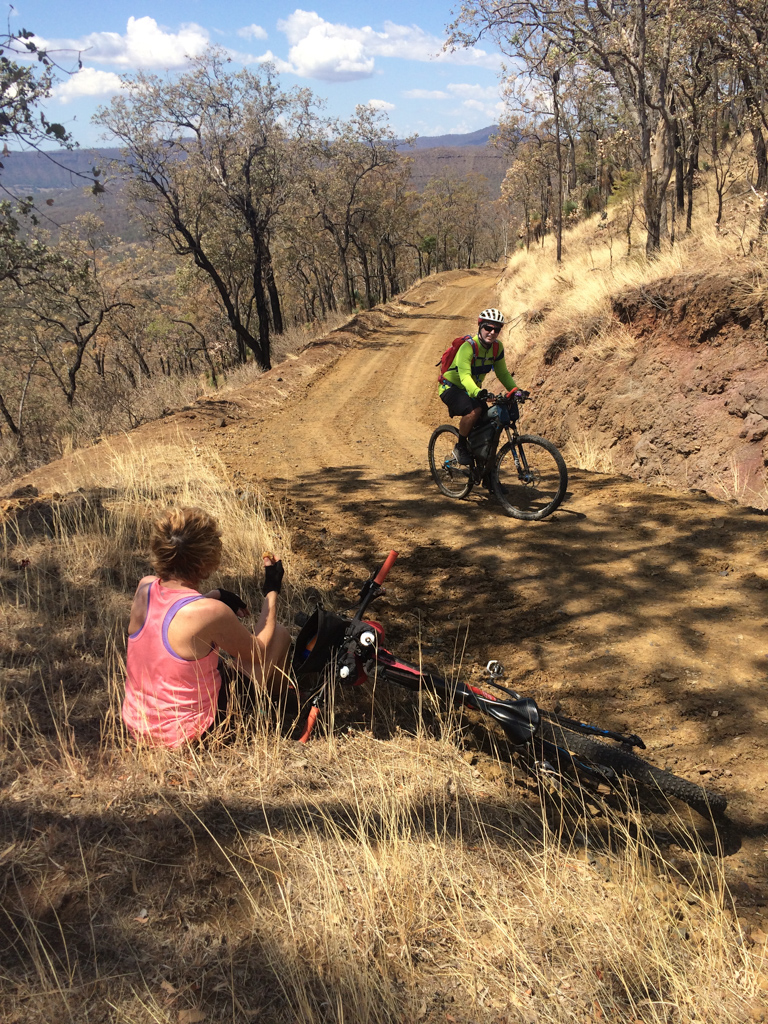
But I made sure I hopped back on when I knew Russel was taking a photo 🙂

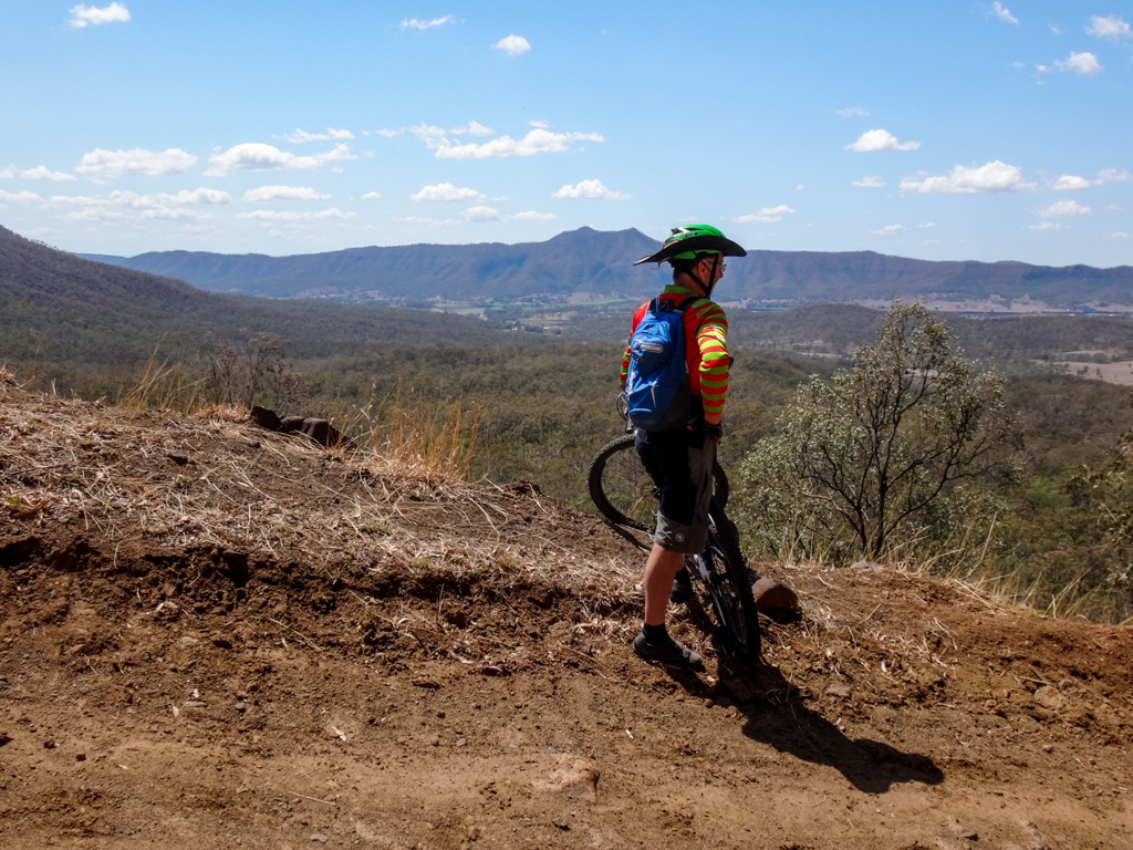
The views at the top were impressive.
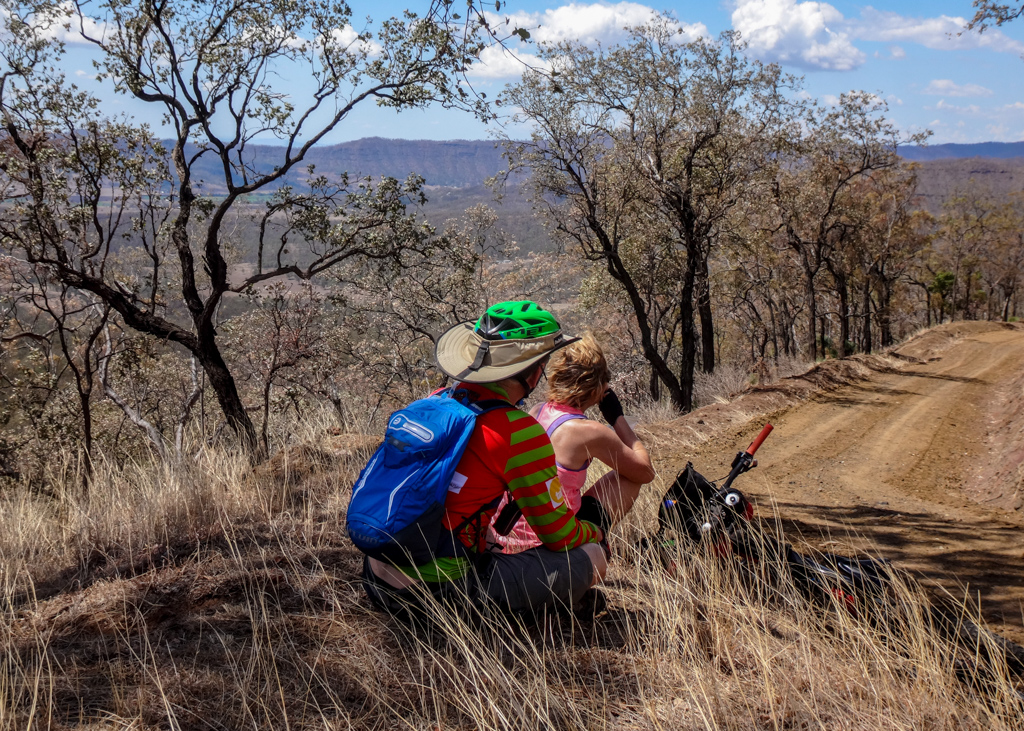
We stopped to appreciate it…
…and to take a break.
Laidley Gap is about 530 metres above sea level. We’d reached the top, so now we could enjoy a relaxing downhill run for several kilometers.
“Gee they’re big horns.”
Thankfully the cattle didn’t seem spooked by us as we rolled past – and no one needed to argue with the horns.
We rolled down Left Hand Branch Road for twenty kilometres, enjoying the respite from climbing. It was a hot day, and we were grateful to be able to rest our legs.
At Mount Sylvia School we sat in the shade for a while and topped up our water.
We’ve had many fun adventures which started from Mount Sylvia. It was good to be back.
Just out of Mount Sylvia we had another short climb up Caffey Connection Road.
The surrounding hills looked impressive in the afternoon sun, but my legs were beginning to tire.
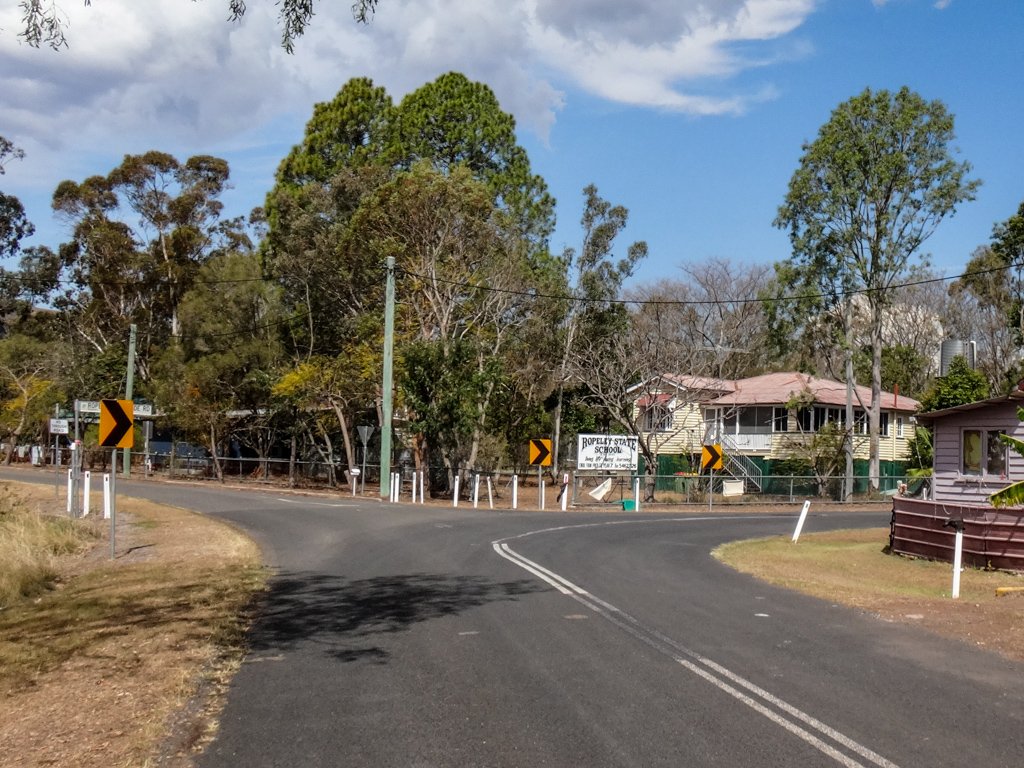
A few minutes later we rolled past Ropeley School, heading towards the last big climb of the day.

At the end of the valley we passed through the small farming hamlet of Rockside.
With dry brown fields, large boulders and steep hills, it has a rugged beauty.
“This is amazing,” Kaye said.
“It’s like we’ve visited another country.”
I was surprised at how many different landscapes we’d ridden through in one day.
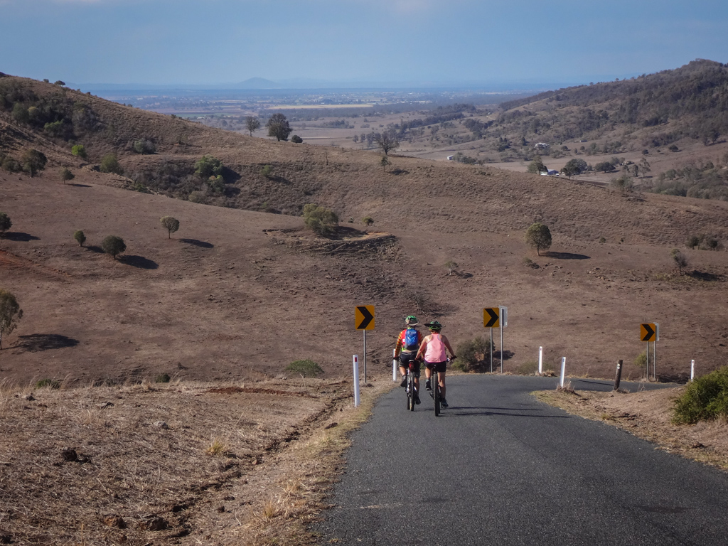
At the top of the hill, the others waited for me to catch up.
On the distant horizon we could just make out Laidley, where we had started earlier in the day.
The climb was over.
We eased off the brakes, and let the bikes accelerate down the hill.
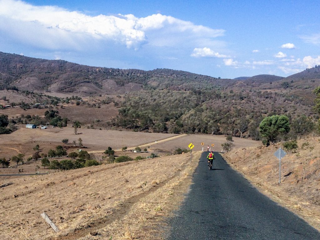
Towards the bottom, I tucked in, gripped tight, and enjoyed the rush.
Descents are fun. Climbs are sometimes difficult. But it’s all part of the joy of riding a bike.
Total climbing: 1566 m
Average temperature: 30.4
Total time: 07:22:13
More info
We rode a total of about eight-five kilometres in about seven and a half hours. During that time we climbed about 1,500m in elevation and I burned about 4,200 kcal.
This was a tough ride. Paul had to pull out half-way through, and I bailed at the 81km mark. I could have finished, but I knew Paul was waiting near the car, and took the easy option of asking him to come and get me. (Thanks Paul!)
I’ll rate this one 9.5 out of 10 on the tough-o-meter. Don’t do it in summer.
There are no shops along the way, but plenty of water from taps in the schools at Thornton, Mount Sylvia, Ropeley and Belenheim.
Thanks Kaye, Russel, Paul and Harrison for a big fun day out!


