Bernie and Eric make amazing pizzas. They also live close to some fun mountain bike tracks. When Eric suggested we ride locally, then come back to his house for home-made pizza, beer and a swim, how could we refuse?
We met at the local railway station near Eric’s place.
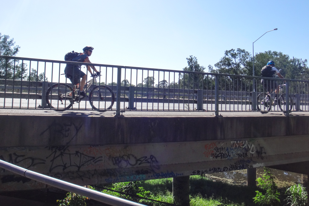
Instead of worrying about cars on busy roads, we followed bike paths for most of the way…
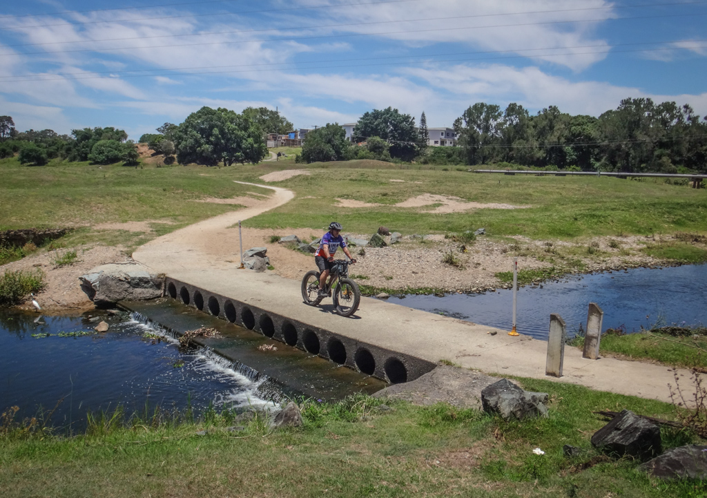
Over the South Pine River…
through the quiet parks of Albany Creek…
… to Bunyaville.
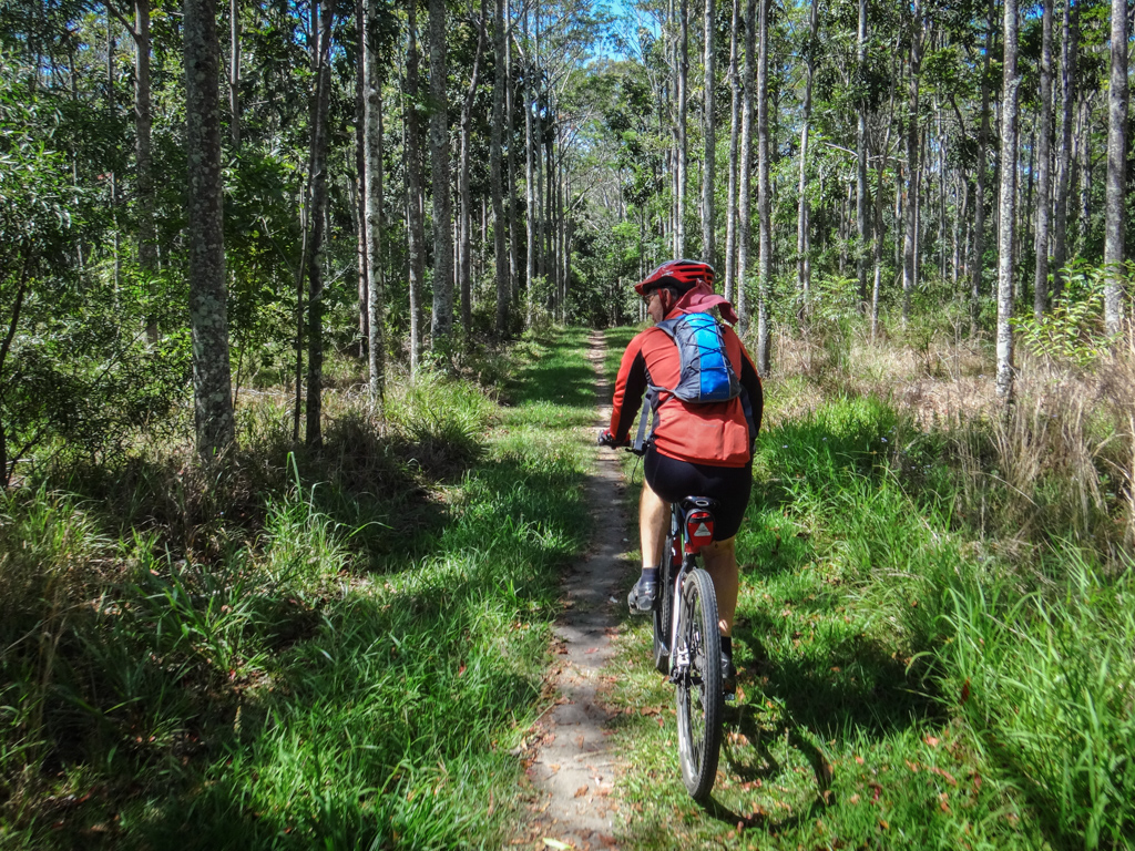
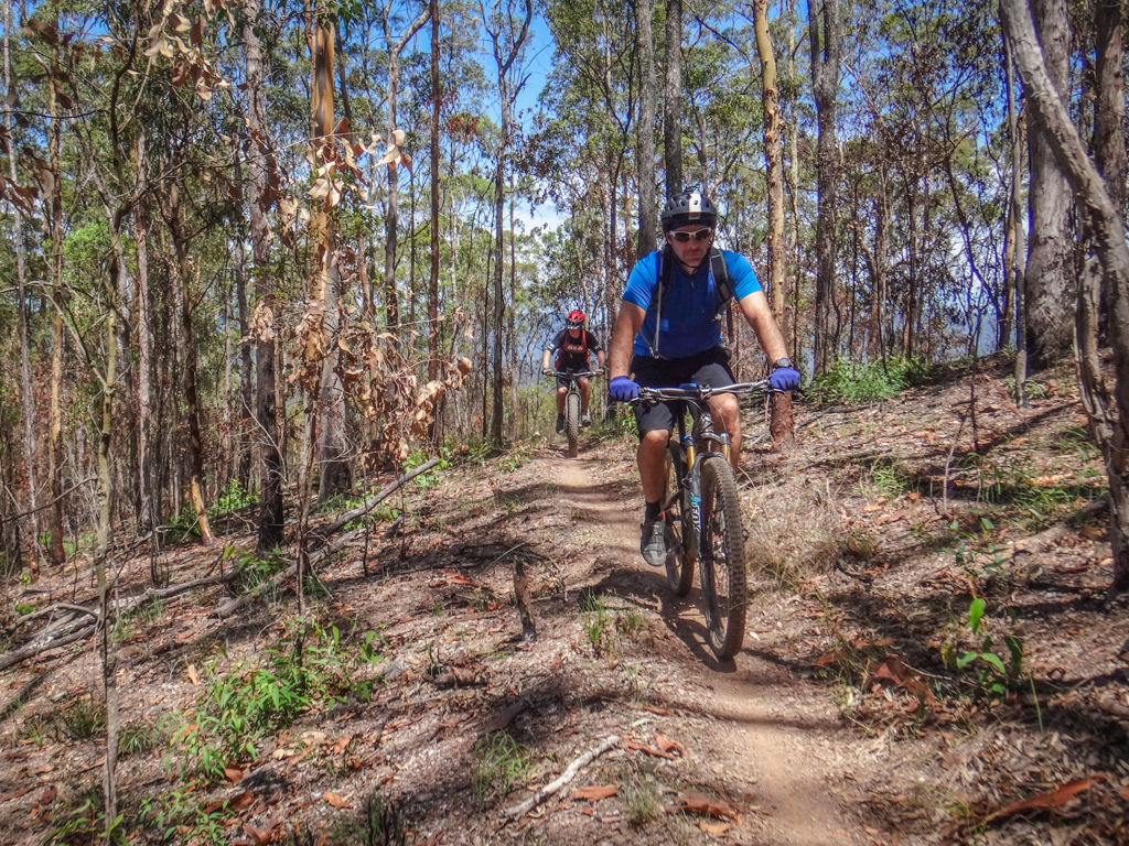
It has been a while since I’ve ridden here – I was glad to be back among the Spotted Gums and Ironbark trees.
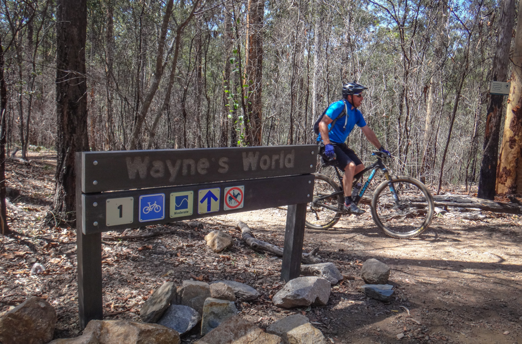
The trail-care magicians have done wonderful work on some of the popular local trails such as “Waynes World”. They had built the berms up nice and high making it easy for us to hit the corners at speed and roll smoothly out of them.
Some of the tracks even have some flash new signs at the trail heads.
We were all grateful for the hours of loving trail maintenance that volunteers have contributed at Bunyaville.
At the top of the “Dark Side” track, we dropped down a fire trail and then rode under the power lines towards Samford State Forest. This way we could ride some fun single-tracks at Ironbark as well.
Because Mountain Bikers will take any dirt track they can to avoid riding on the road, there are numerous ways of completing the short distance between Bunyaville and Ironbark.
Today we went via Surrey Farm Park through a small plantation of pecan trees.
There are a lot of hills at Ironbark – especially when you approach it via Bergin Creek Road.
A lot of these guys ride it every week and are strong riders.
I struggled to keep up and regretted eating too much over the Christmas break.
Towards the top of “Three Sisters” we turned off to the “Humpty” track and followed its twisty turns towards the western side of the park.
This long stretch of narrow track features a tricky rock garden, some sharp dirt roll-overs and a few steep switchbacks towards the end. When joined up with “Sunset Ridge” it goes for over three kilometres, and is probably the best track at Ironbark.
Rick sat patiently behind me while I “oohed” and “aahed” my way down some of the steep rocky bits of Sunset Ridge.
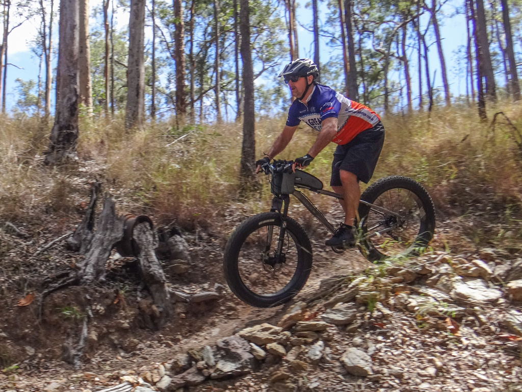
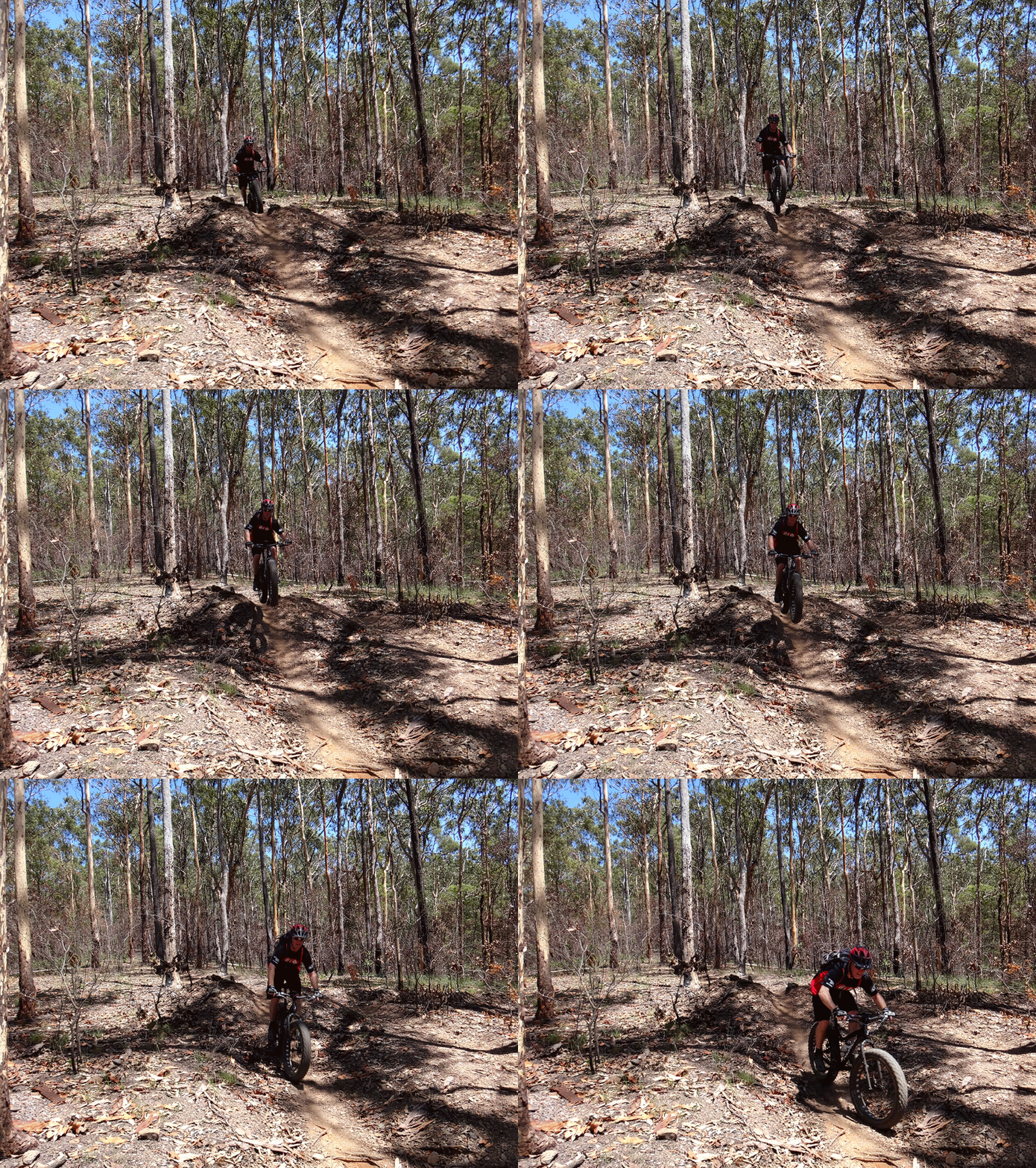
While I rolled around the jump, Adam showed us how to “get air” on a fat bike.
Not bad for a heavy bike with a rigid fork, hey?
From the bottom of the park, we pointed the bikes back up the hills, and slowly ground the pedals up.
Rick did a few stunts for us on the mound of dirt at the “Threeways” before we made our way back towards Bunyaville.
At Bunyaville we had other things on our minds (i.e. lunch) and kept riding back towards Eric’s place…
This time we came back over the South Pine River via Leitchs Crossing, through a pleasant horse paddock.
(Photo: Adam Lynch)
Eric left the bike racks out on the drive so we could park our steeds.
Aaaaah. That pool felt wonderful.
Cooling off in the crystal clear water with a cold beer – perfect.
Even the turtle had a drink 🙂
“Ace the wonder dog” greeted everyone, and kindly made sure we didn’t drop any pizza on the floor.
What a pleasant way to end a ride.
The pizzas were delicious. They pretty much disappeared within seconds of hitting the table.
And that cake – simply amazing.
Thanks Berie and Eric for your generous hospitality.
And thank you everyone for a fun summer ride.
Today’s course was relatively easy. We rode about 42km in 4 hours including breaks. We climbed about 670 metres, and I burned about 2,000 kcal. I probably consumed much more than that afterwards 🙂
I’ll rate this ride 7 out of 10 on the tough-o-meter. Perfect for those sluggish after-Christmas weeks when you’re trying to regain fitness after too much indulgence.
Total climbing: 998 m
Average temperature: 29.9
Total time: 04:10:46
More data










Nice write up and glad so many friends could join Bernie and I for the afternoon.
The tough-o-meter rating depends on how many pizzas you eat afterwards!