
Today’s adventure took us on a large loop through the mountains between Kenilworth and Imbil, with a short stint along the Mary Valley Rail Trail

We started on a cool damp morning in Kenilworth and headed north.
After a couple of minutes on the main road we rolled onto the flat, smooth gravel of Cambroon Lane.
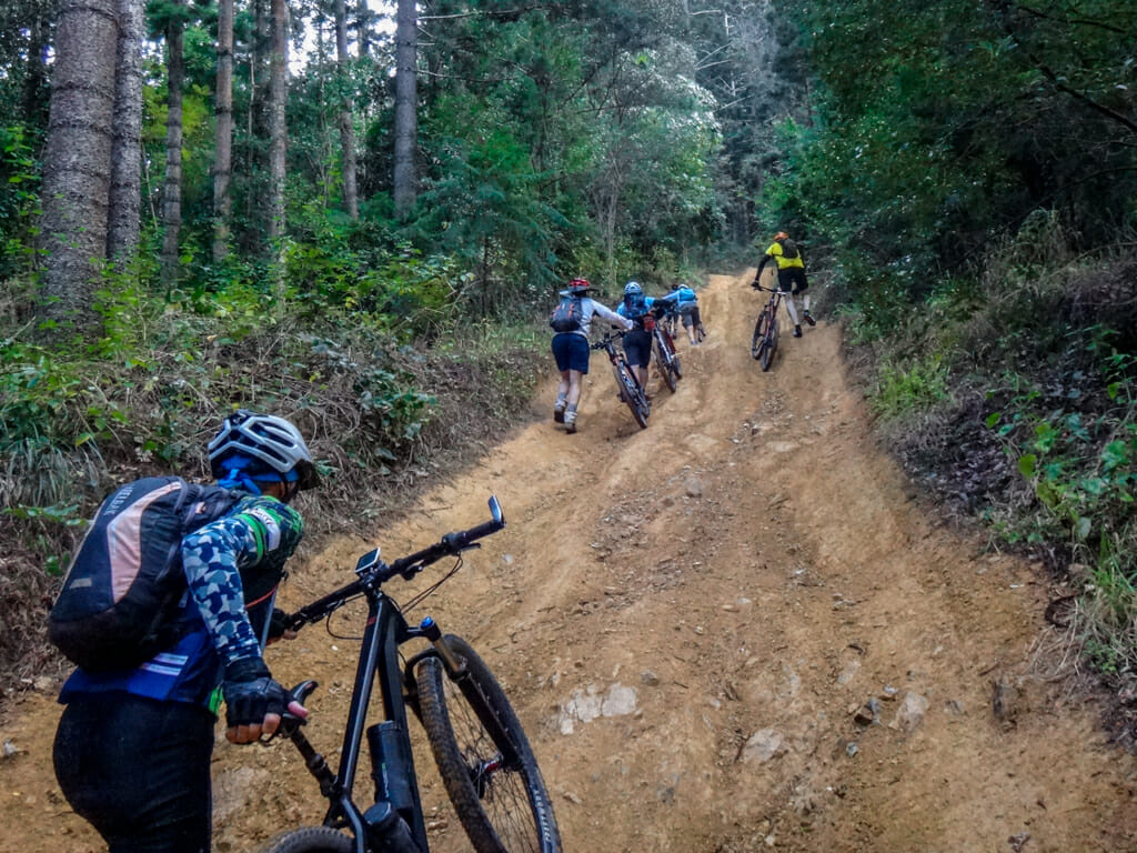
“Whose idea was it to ride here?” I said out loud as we pushed our bikes up the first hill.
Either my friends didn’t hear me, or they were too kind to remind me it was my idea.
We just laughed about it and scrambled upwards.
(Photos: Jason Grant)
Eventually the upward grind came to an end and we coasted through the hoop pines.
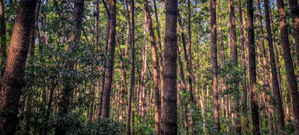
I marveled at the patterns made by these densely packed tree trunks. The gentle morning light filtered through the branches, a slight breeze rustled the foliage…
… We had come to the right place.
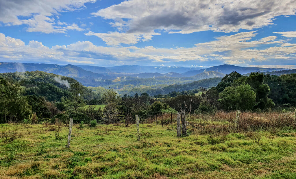
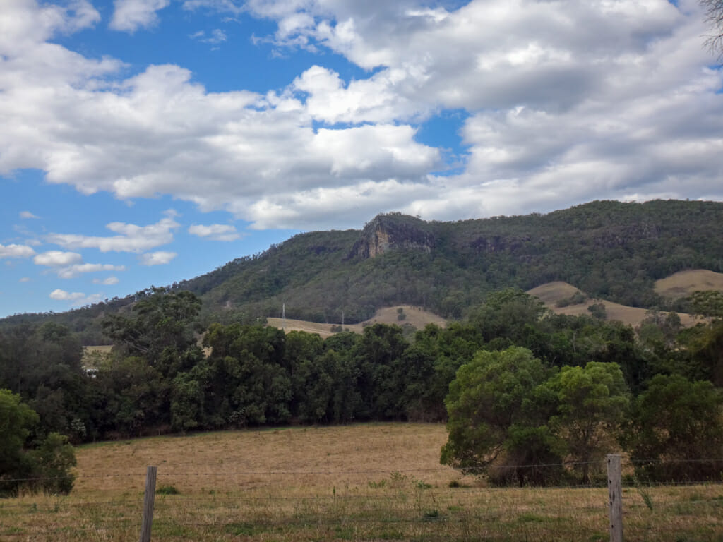
When the trees cleared next to an open field, we were able to get a great view of Kenilworth Bluff, protruding above the Mary Valley.

We had top scramble up another steep rutted climb.
It was difficult even to push the bikes up the hill. Tim figured out it was easier just to shoulder his bike and carry it instead.
As with most nasty hills, the steep pinch eventually ended, and we rolled happily down the other side towards Imbil.
The smooth dirt roads were a pleasant change from the rutted goat tracks we had just left behind.
We met Nicole riding in the opposite direction.
“Can I get to Borumba Dam from here?” she asked.
“Yes, but there are some horrible hills to climb.” I replied, remembering the nasty sections we had just come through.
We asked if she’d like to join us for a while instead.
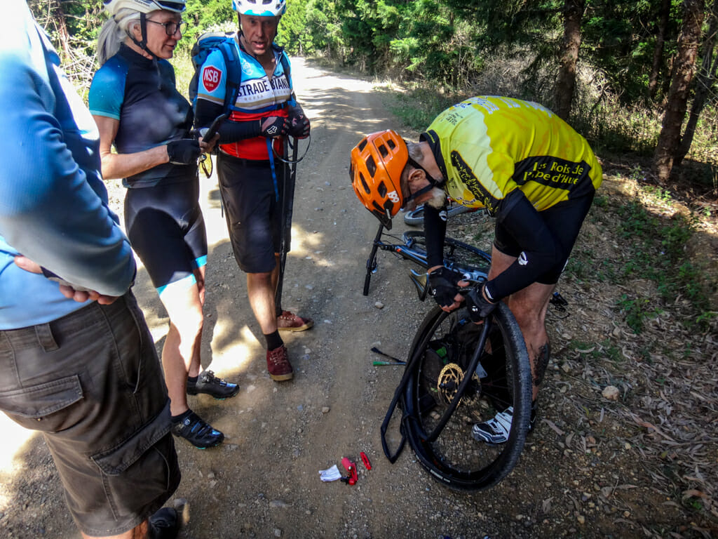
It’s a good thing Nicole said “yes”, because she got a flat tyre a few kilometres later. There were a few complications, so we helped her sort it out.
With more than enough willing helpers fixing the flat tyre, I decided to roll on ahead towards town.
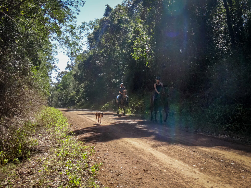
I met a couple of cheerful horse-riders and their dog along the way.
This was a happy forest.
We stopped in Imbil for a bite to eat at the local cafe.
It was surprisingly busy for a small town, so we chilled out in the gazebo rather than battling for a table at the bakery.
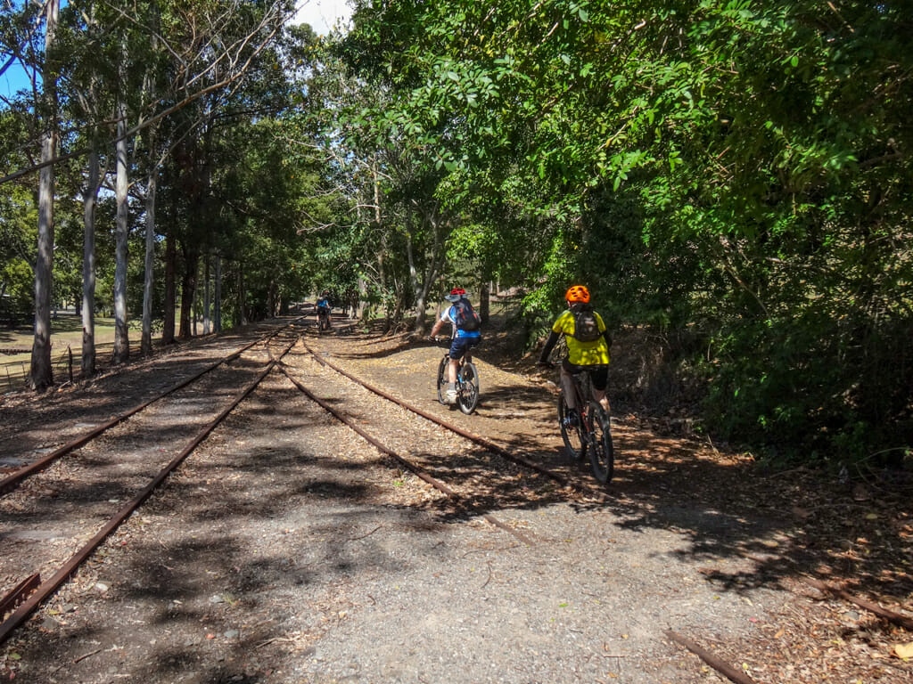
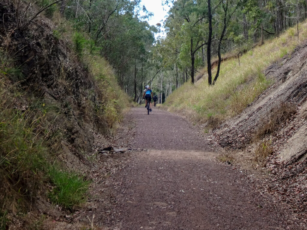
A railway line used to operate between Gympie and Imbil, continuing south to Brooloo. Some of that railway line is no longer used by trains, and has been converted to a rail trail for cyclists, hikers and horse-riders.
We followed the railway line south.

Rail trails are fun places to ride.
They’re flat, smooth and peaceful. You don’t have to worry about passing cars, or steep hike-a-bike hills.
They’re the perfect place to relax while you roll.
At Brooloo, Tim needed to burn off more energy and impressed us all with his jumps.
Great work, Tim!
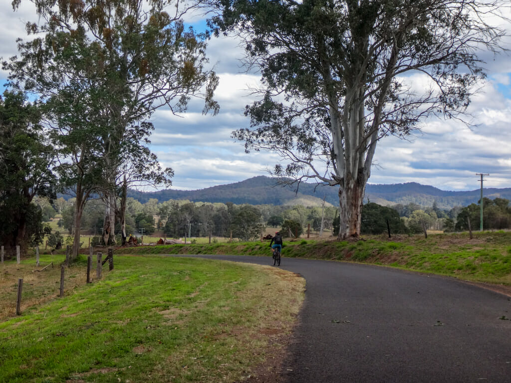
We rode south from Brooloo along the main road for a few minutes, until we reached Coonoongibber Creek Road.
The road wound gently through green paddocks, with more views of the Bluff.
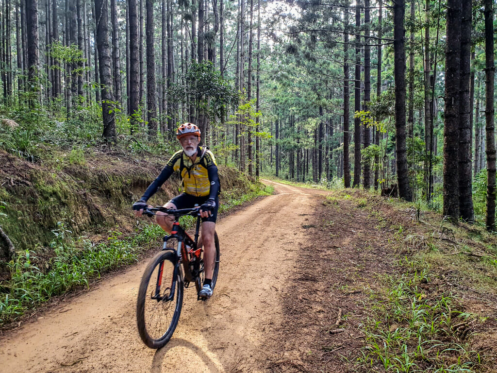
Shortly after that, the paved road ended and we found ourselves back on gravel forestry roads.
The air cooled noticeably as we moved back into the shade of the pine trees.
Total climbing: 1216 m
Average temperature: 22.9
Total time: 05:01:43
More info
We rode about fifty-one kilometres in just over five hours.
During that time we climbed about 1,200 metres in elevation, and I burned about 2,700 kcal.
I’ll rate this one 7.5 out of 10 on the tough-o-meter. Hike-a-bike sections are always tough, but they didn’t last for very long.
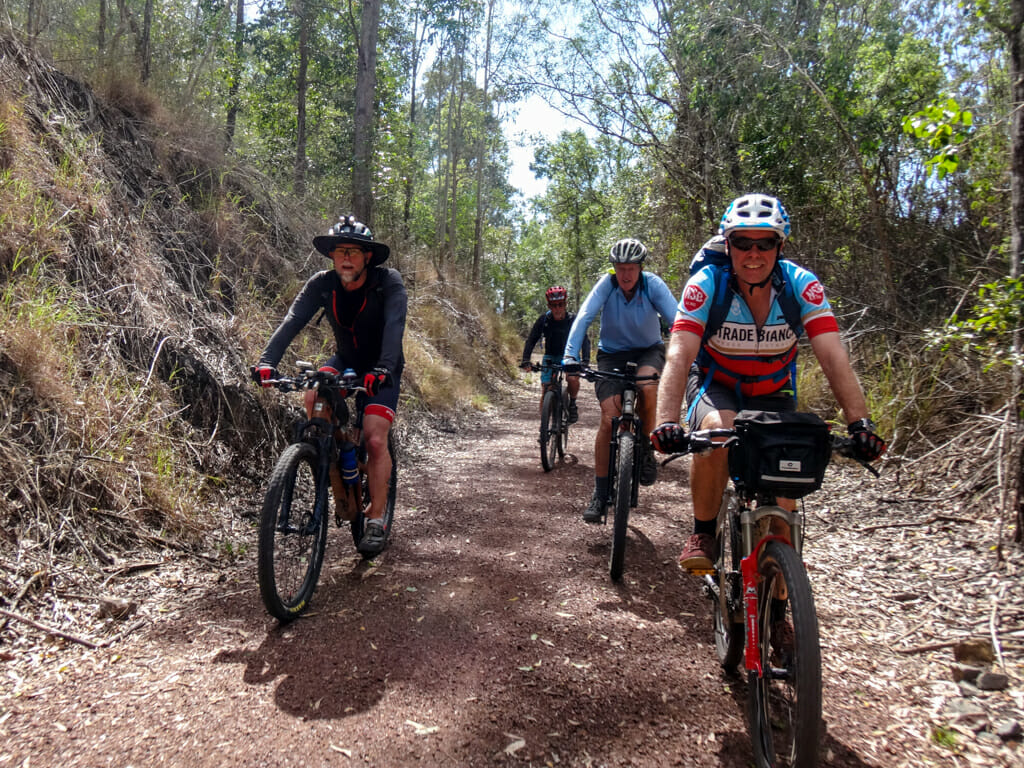
Thanks to Eric, Calum, Jason, Simon, Adam, Paul G, Paul H, Tim and Nicole for a fun day out.










Great stuff Neil!
Excellent ride and write up
Excellent jump, Tim 🙂
Thanks Dave 🙂
Hi Neil, Not too sure how I stumbled into your blog but I will say it’s truly Amazing! You are not only a committed cyclist (of some note) but also writer and photographer, Your adventures are truly inspiring… I have just returned from a few hours ramble in Wrattens NP, finally making it to Mt. Mia- just up the hill from Fat Hen Creek. It’s made of copper, covered in grass trees and offers great views tending westwards. I rode up from the bottom of Widgee Mountain, with some ‘assistance’ It’s still a tough ride; not too bad once you actually get to the high country. Heavily forested, so shady. Looking forward to investigating more of your wonderful musings. All the Best! Regards, Dave Phillips
Hi Dave
Thanks for your kind words. I’m glad you enjoyed reading about our adventures.
Wrattens NP is hard work – there are some large hills in there. Perhaps we should go back and visit soon 🙂
Neil