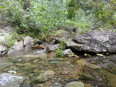
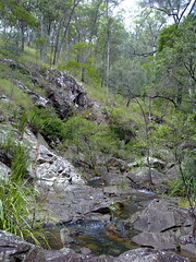
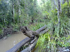
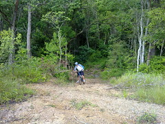
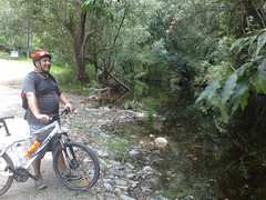
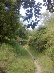
In the last post I told you about our ride down the Lepidozamia track. Here’s the video from my helmet cam. It’s bumpy, but as you can see, it was a lot of fun.
Category: xc
Cross-country MTB
Down the Lepidozamia Track
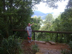
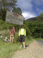
Last week I explained our quest to find a track from Mount Glorious down to Kobble Creek. This week we found it, thanks to some advice from the guys at MTBDirt.com.au.
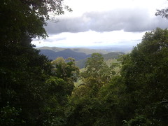
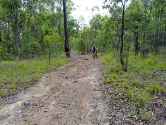
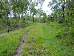
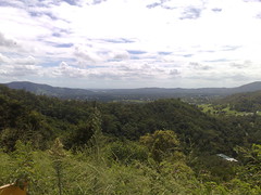
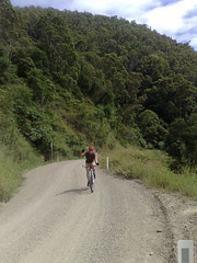
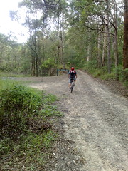
It was a difficult ride climbing the D’Aguilar Range to its summit of almost 800m at Mount Tension Woods, and then an exhilarating ride down some very steep rocky fire trails (The Lepidozamia Track) as we followed Kobble Creek back to civilization.
The Lepidozamia Track is named after all the Cycads (Lepidozamia peroffskyana) that grow there.
All up we rode about 66km with a total ascent / descent of about 1550m. The total ride was about 10 hours because we had to keep stopping – Simon got half a dozen punctures and we went through three spare tubes and half a roll of duct tape before we fixed it.
I shudder to think what would have happened if I hadn’t taken 4 spare tubes and three rolls of duct tape. If ever I needed justification for carrying so much “Stuff” on my rides, this is it. We were in some pretty remote country, and getting out on foot would have taken a long time.
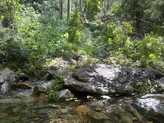
This ride covers some beautiful scenery. Normally we’d be able to do it in about 5 hours, and it’s worth the effort if you don’t mind getting your feet wet!
Along the Old North Road (Part 2)
Last week Simon and I rode from Wamuran to Moorina along the historic Old North Road.
This week we wanted to complete the southern section of where we think the road went, between Kurwongbah and Moorina.
We started at Dunlop Lane then headed north along Smiths Road where it crosses Mosquito Creek. I looked around here for any traces of an old bridge but could find nothing except an old beam in one of the banks.

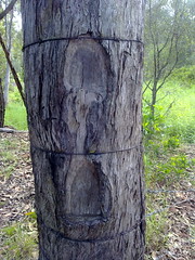
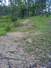
Merelyn very kindly let us look around her property which is on the southern end of historic Franz Road where it used to meet Alf Dobson Road. She showed us the remnants of the Old Road, with what I think are survey marks clearly chopped out of a dead tree near the road.
Merelyn has records of the road reserve being re-gazetted from it’s historic route past her front door, to a point along one of the boundaries of her farm.
The ground is heavily compacted showing evidence of frequent traffic at some time in the past.
Merelyn has had conversations with several old-timers who tell her cattle used to be driven southwards along the road prior to the early 20th century.
Cliff, Owen and Cathy very kindly let us ride through their farm trying to find any remnants of the road.
As Franz Road heads north, we tried to retrace the road by referencing an old survey plan by William Fryar in 1868.
These old trees are close to where Fryar’s plan showed trees that he used as reference markers for his pegs. Unfortunately the original trees are long gone.
I would have made a hopeless surveyor, and found it difficult to differentiate between what I thought were remnants of the old road, and more recent farm tracks.
Cathy showed us this old photo of the old Franz homestead near where we passed.
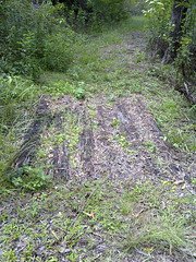

Judy and Ken kindly showed us the remnants of an old road passing through their property.
Judy tells me that the road was used by Cobb & Co in the 19th century.
It winds up a fairly steep hill, and in some places it’s possible to see evidence of past maintenance, including an old log bridge, and frequent large rocks lining the sides of the road.
Along The Old North Road


Simon and I caught the train up to Caboolture today and cycled back via Wamuran and Dayboro.
The aim was to explore an old historical road in our area and have fun while we were doing it.
“The Old North Road” is a historic road which was established in 1843 by The Archer brothers (David, Thomas and John) and Evan Mackenzie as a quicker way to travel from Brisbane to Durundur Station and Kilcoy.
Parts of it remain to the North West of Brisbane (where it’s known as “Old Northern Road”, and up near Wamuran on the D’Aguilar Highway where it’s still known as “Old North Road”.
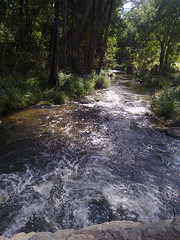

One of the pleasant surprises we found along the way was Zillman’s Crossing. It’s a causeway where The Old North Road crosses the Caboolture River in Rocksberg. This delightfully picturesque spot belies its history where horses, carts, and later cars would have a terrible time getting over the crossing.
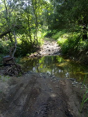
We also crossed Gregors Creek, an old dirt track at the southern end of F.Lindsay Road. This was originally part of the Old North Road, but became disused over the years. Click on the video for a superb demonstration of prowess as Simon shows how to cross a creek on a bike.
As this newspaper article from the Moreton Bay Courier (October 24 1846) reports, Gregors Creek was site of a gruesome murder.


A little further south, and The Old North Road passed below Franz Mountain in Moorina. It overlooks a secluded valley which follows the banks of Burpengary Creek. Today the road is called “Franz Road” and passes south-east through some private property towards Narangba.
One of the beautiful old properties close to Franz Mountain is “Mary Ann’s Cottage“. This delightful cottage was built around 1880 by the son of one of the Moravian Missionaries, Maurice Schnieder and his wife Mary Ann. An outstanding native fig tree (Ficus Virens) stands proudly on the property, and is believed to be over 500 years old.
Meg Thomas, owner of Mary Ann’s Cottage has a fascinating collection of documents detailing the history of the property:
We’ll try to complete the northern section of The Old North Road next week, from Moorina to Whiteside.
But to cap this leg of the journey off, we decided to follow an old dirt “short cut” up the side of Mt Mee. Exceeding a grade of 25% over a couple of kilometres, this has to be the steepest road I’ve ever tried cycling up. But the views were spectacular, and the exhilarating journey down the mountain after the summit made it a worthwhile climb.
Mount Ninderry
Mount Ninderry is one of the first monoliths you see when you turn off the Bruce Highway at Yandina and approach Coolum.
It’s about 360m high with a car park about halfway up.
I’ve seen it dozens of times on our many trips to Coolum, and eventually decided to check it out.
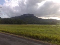
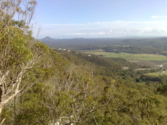
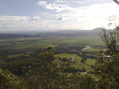
I cycled there this morning, and hiked to the top for some great views of the the coast and farmland around Coolum.
Some of the hills were a challenge.
After the hike, I discovered the dirt part of Ninderry Road which is a steep horse trail leading down the north-eastern side of the mountain. It was a lot of fun on the mountain bike – although I took it pretty slowly.
Then it was an easy ride along mostly dirt roads back to the main drag and home.
All up about 43km with maybe 520m of ascending (according to http://GPSies.com)
Mt Nebo and Beyond
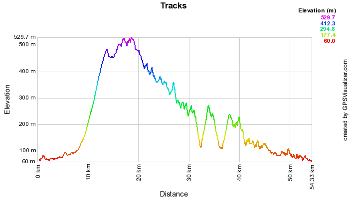
Our ride to Mt Nebo was a big one. We thought the climb up the mountain would be difficult, but it wasn’t. We thought the ride back down via Bellbird Grove and Camp Mountain would be easy, but it wasn’t. All up we travelled about 55km. I burned over 4,200 calories and drank copious quantities of sports drinks, and had a large “lunch” at about 10am at the Mt Nebo cafe.
Our total ascent for the ride was 1,437 metres (about 4,500 feet).
I just want to say how much I admire my mate Simon. This was the hardest ride he’s ever done, and he just kept going – even when he was hurting and didn’t really want to go on at one stage. Even when we should have given him a break and taken a quicker route back to Samford from Camp Mountain. Simon – you’re amazing, mate. This ride brought home to me the important lesson that we do this because it’s fun. We don’t do it to set world records, or to be heroes, or to win races. And when riding in a team everyone in the team needs to look out for each other. So that’s going to be my #2 rule in future, after riding safely.
The Goat Track is a dirt road “short cut” from Samford to Mt Nebo. It’s one way – you’re only allowed to go UP the road, not down it. It’s pretty steep – but we overestimed the grade, and got up quite easily. The total climb up the track is just under 440m in about 5km.
Some of the route along South Boundary Road once we got to the top of the range
South Boundary Road was pretty difficult. The descents were rocky and the final ascent before rejoining the bitumen road is a killer. I had to walk part of the way because it was too steep.
Bellbird Grove was deserted – which was unusual for a Saturday lunch time. There’s no drinkable water there, but lots of picnic tables, BBQ’s and shade. We rested here before trying to attack the fire road up Camp Mountain, which leans down into the Samford Valley.
One of the many pony trails in the Samford Valley. One way to avoid the cars, but at the end of a 55km ride, the trails were hard work!
Here’s the map:
A five hour Trek
Simon, Steve and I decided to combine two great off-road rides into one today.
First we rode along Browns Creek Road where my bike sunk in muddy water up to my axels and my feet got soaked. I’ve got into the habit of taking spare socks with me now, so the water isn’t so much of a hassle.
We came back along Smith’s Road and decided to detour down Dunlop Lane which appears to run through a horse riding ranch.
And finally we crossed the main road and ventured along some SEQ Water tracks near Lake Samsonvale, coming out at the McGavin View picnic area.
All up about 55km of MTB goodness, most of it off-road.
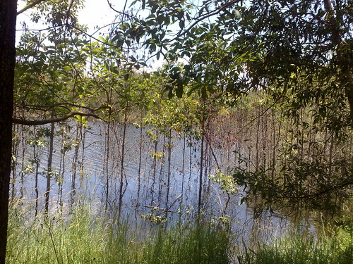
Young eucalypts close to the shoreline of Lake Samsonvale have been flooded by recent welcome rain….
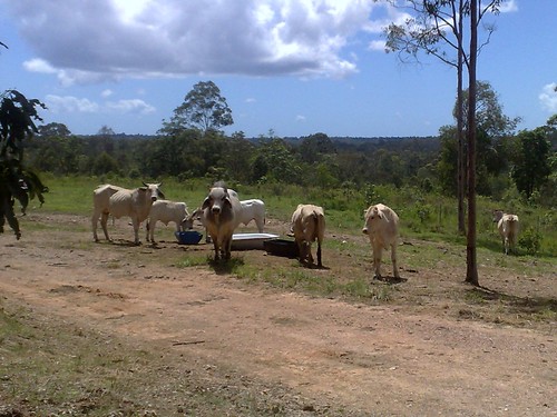
An angry looking Brahman Bull looks at us as he protects his “girls”….
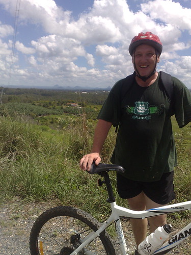
Me, my bike, and the Glasshouse Mountains….
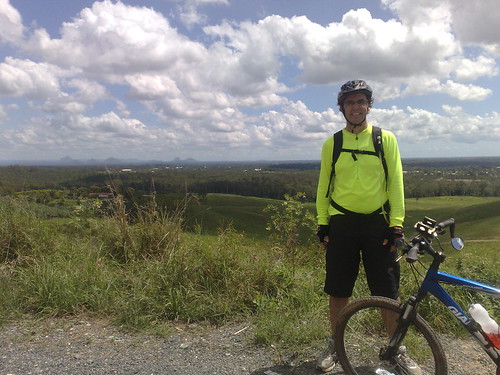
Look carefully and you can see Moreton Island in the distance….

If you look carefully you can see some sailboats on the lake….
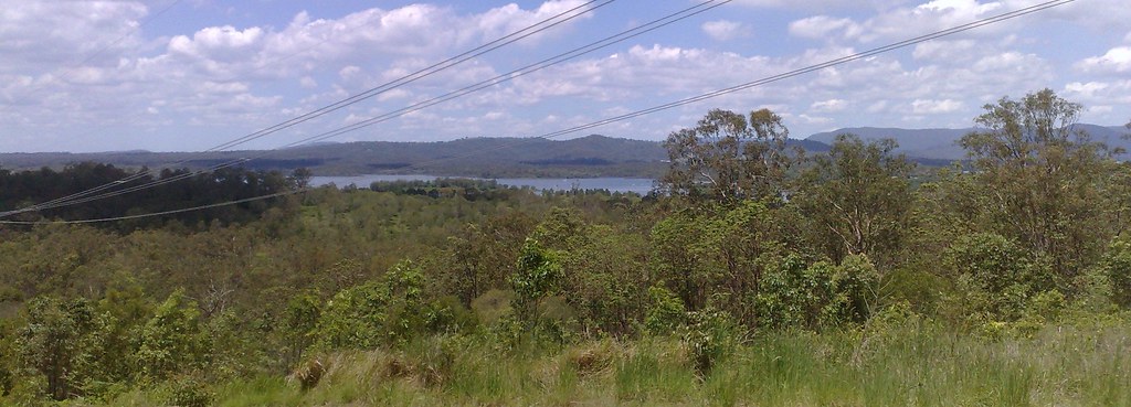
Beerburrum State Forest
Between Donnybrrok / Toorbul and the Glass House Mountains, there are hundreds of square kilometres of pine forest and dirt tracks.
Some of the tracks are beautiful smooth gravel.
Others are diabolical sand and deep ruts, that stretch on for ages and have you groaning “Are we there yet?”
All in all – a fantastic time on the mountain bikes.
But as Steve and I found out – riding for a few kilometres on sand and through deep tyre ruts is exhausting work!


