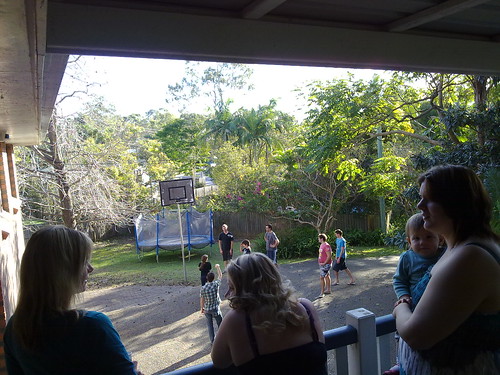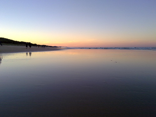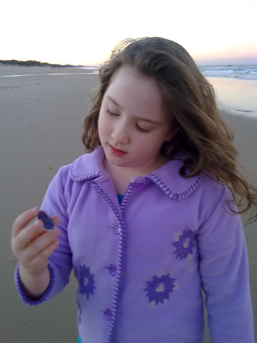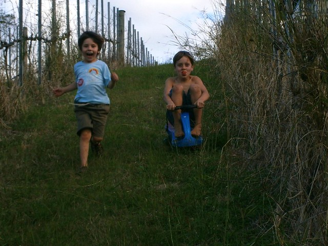
Our friends, James and Stephanie, are lucky enough to live on the edge of a vineyard on the edge of the hill at Oceanview. We enjoyed some wonderful views this afternoon while the kids had a great time rolling down the hill between the vines.


Category: Children
If it is to be…
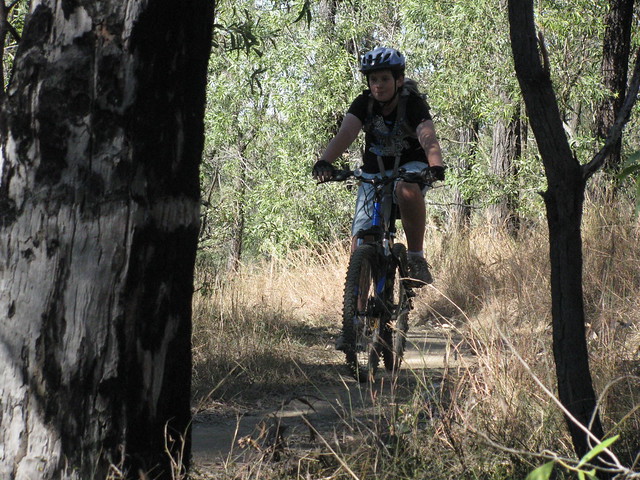
Harrison and I decided to check out Mount Joyce Recreation Park yesterday.
It’s built on the shores of the new Wyaralong Dam between Beaudesert and Boonah, and has some great Mountain Biking trails.
We really enjoyed the trails, but I made a couple of big mistakes that caused us some major problems….
After riding down some beautiful long, smooth, winding downhill single-track, we ended up at the bottom of the hill at a junction of a few different tracks. It was getting late so we thought we’d follow a service road west in the hope of getting back up the top of the hill for one more ride down. The only problem was the service road west just kept going west. After half an hour, it was getting close to sunset, I was worried about it getting dark, but made the mistake of pressing on in the hope the trail would bring me out on the road for a quick ride back.
I failed to take into account that I had an 11 year old boy, so the riding would be slower than usual. Plus I failed to factor in that these were new trails – I didn’t have any of the tracks in my GPS.
Another half hour and it was totally dark. We were in the middle of the bush, with no maps in the GPS on trails I knew nothing about, and all I had was a little night rider light and tail light. Harrison was upset, cold, and tired. All he had on was board shorts and a tee-shirt. I had a garbage bag in my pack and made a poncho out of it to keep him warm, gave him a spare pair of winter gloves that I also had in my pack and soldiered on.
Thankfully I had a Spot GPS Satellite Messenger (Mobile phones don’t work out there). So I sent an “I’m OK but I’m going to be late message” to let everyone know we were ok.
After another half hour of riding in the bush in the dark and we found a gravel road which we followed to Beaudesert / Boonah road, and headed eastwards back to the park along the main road. Since we only had one set of lights, I made Harrison ride in front of me, so my light lit the road in front of him, and cars approacing from behind could see my tail light.
It took us over an hour riding back along the main road in the dark until we reached the turnoff, back to the Mt Joyce car park, to find the carpark empty except for our van.
Freezing and hungry, we stashed the bikes in the van, and headed back to Beaudesert for a bite to eat.
We eventually got home at 10pm.
I feel bad about this because I made some stupid mistakes. I’ve attached the track log so you know where not to go. (Given enough daylight hours, it would have been a really nice XC ride) The worst thing is I put my son thru a pretty distressing experience. He was in tears, had to walk up some steep (to him) hills in the dark, and had to brave highway traffic on a dark main road. I knew he was upset, but I had to be mean and tell him that crying wouldn’t get him home, and that he didn’t have the luxury of feeling sorry for himself.
“If it is to be,
it is up to me”
“If it is to be, it is up to me” I told him. Plus I made a few Bear Grylls jokes about eating our own poo, or him eating me if I couldn’t make it. It seemed to do the trick.
The best thing is that he did it. I’m so proud of him.
I’m annoyed at myself though.
All up, 55km, about 1,000m of ascent, 3,000kcal and 5 hours on the bike. On the tough-o-metre this one was 10 out of 10, not because of the physical difficulty, but the stress of trying to safely get an eleven year old boy out of the bush in the dark in the middle of winter on unknown terrain.
Total climbing: 1053 m
Average temperature:
Total time: 06:28:50
More data
Kidnapping the Neighbors Kids
Our kids had a visit from a couple of their friends this morning.
Rather than let them sit around playing computer games, we bundled them into the van and took them on a couple of hikes. (After checking that it was ok to kidnap a couple of extra kids. Thanks Renea!)
The first hike was around Camp Mountain – a beautiful forest to the south of Samford. I’ve done this on the mountain bike before, and really wanted to show everyone how picturesque it is.
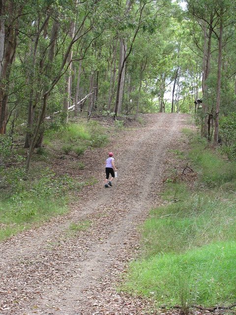
It’s a big road for a small person. Lilly kept going all day. (Picture by Liz)
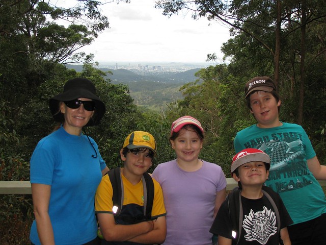
It’s a good climb to the Summit of Camp Mountain, with great views of the city.

Some of the wildlife at the top (Picture by Liz)
The second hike was up the Goat Track – a washed out dirt road west of Samford. I love this road because of the views and the fascinating Rock Art that has sprung up along the way.
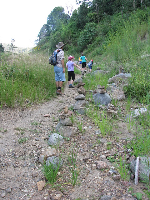
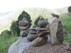
I’ve been observing the rock structures over the last couple of months and they’re getting quite realistic!

The view from The Goat Track looking east past the Water Tower at Albany Creek, with Moreton Bay in the background.
All up we hiked 8.8km with a total ascent of 520m. I was really impressed with how well the kids coped with it – no complaints and everyone kept up a great pace (average of about 4.5km/h).
Well done team!
Total climbing: 397 m
Average temperature:
Total time: 01:42:20
More data
Total climbing: 150 m
Average temperature: NAN
Total time: 01:02:15
More data
Sports Day
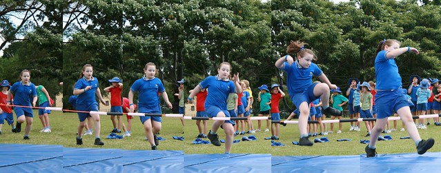
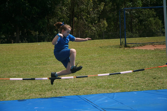
It was the annual sports carnival at the kids’ school today. In keeping with the whole fitness concept I thought I’d leave the car at home and walk up to the school and back. School was a-buzz with excited kids in team colours chanting war-cries and cheering for their team.
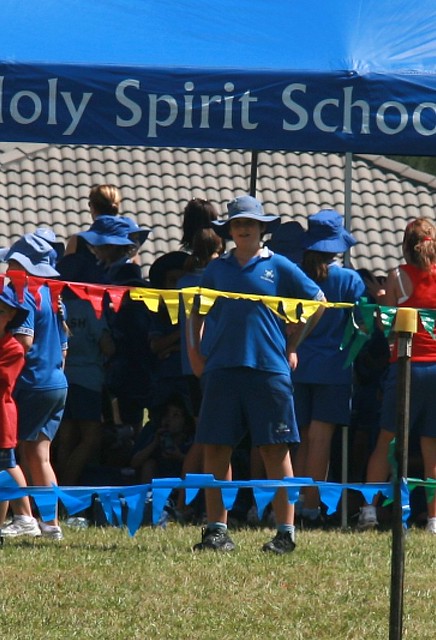
I sat off to one side trying to sneak shots of the kids, but Harrison wasn’t fooled – he knew I had my eye on him.

Lilly scribbled in the front of one of her note pads this morning “I’m gonna win”. With an attitude like that, and her blue war paint, no one else had a chance.
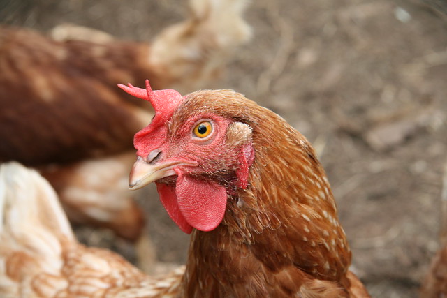
Oh – this was a chook I saw as I was walking home. When you have a hammer, everything looks like a nail, and when you’re carrying a camera, everything seems to be asking to have its photo taken – including chickens. As soon as I stopped to look at one of them, about a dozen came running out of the coop to look at me.
It was a fun walk. The funniest thing was I actually burned up over 1,000 calories doing it. Time (and energy) fly when you’re having fun 🙂
Total climbing: 251 m
Average temperature: NAN
Total time: 01:38:28
More data
Pot Luck Fun
A few random pictures from a fun weekend.

We celebrated Josh’s 21st birthday on Sunday afternoon. I had a great time chilling out and watching the kids play basketball.

Lilly had fun trying to get the Piñata at Angela’s birthday party on Saturday

And I was so engrossed in taking a photo while out riding on Saturday morning that I didn’t realize I’d taken a photo of myself in the rear-view mirror.
All-in-all a fantastic weekend!
Coolum Beach at Sunset
Mount Coolum
Riding with Dad
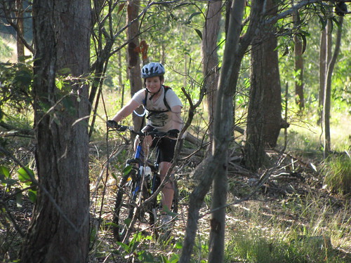
My ten year old son, Harrison, and I rode some of our favourite tracks this glorious Sunday morning.
We went out via some old stock routes and came back along the shoreline of one of the local lakes.

He kept up pretty well. I’m aware that sometime in the next ten years our roles will probably be reversed and I’ll be keeping up with him pretty well.
For now I’m content to show my boy some of the fantastic tracks around our area that you never see when you speed by in a car.
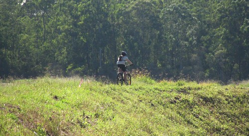
We have to slow down to enjoy beauty.


