Riding to Peachester

Forest Trail
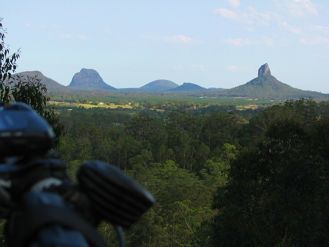
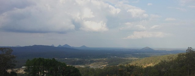
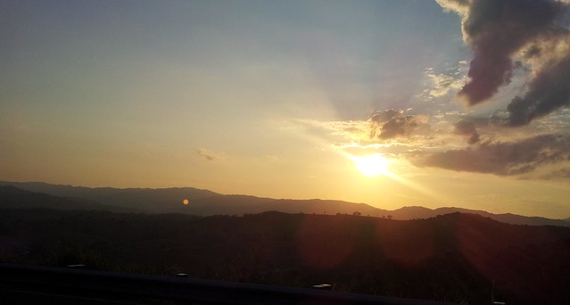
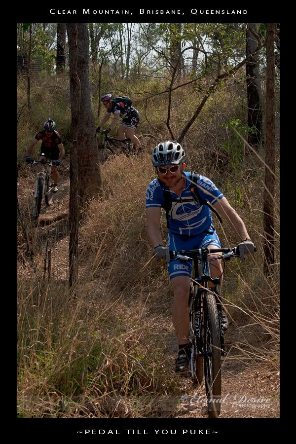
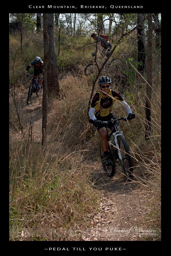
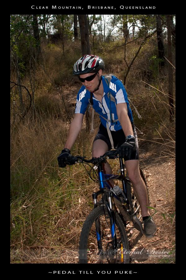
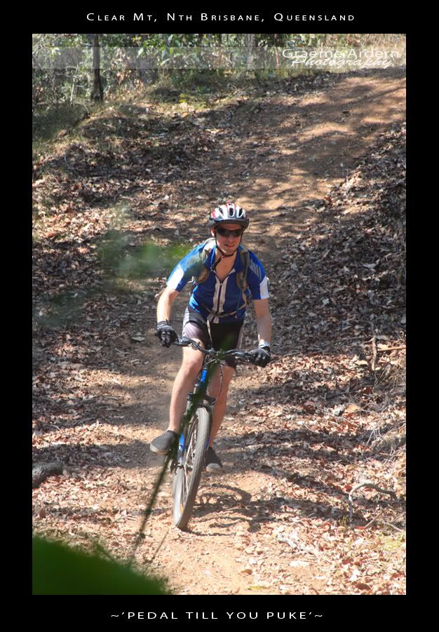
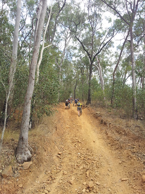
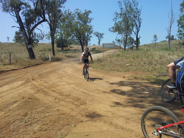
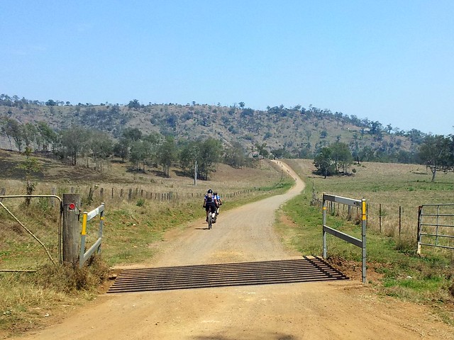
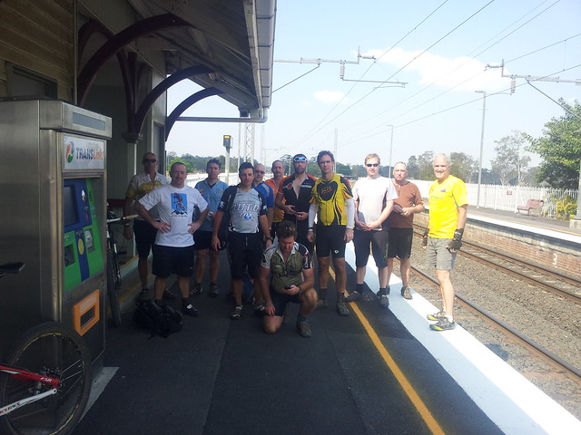
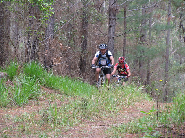
Six of us left Beerburrum this morning for a ride up to Peachester through some of the many forest trails that meander through the Glasshouse Mountains.
Enjoying the View
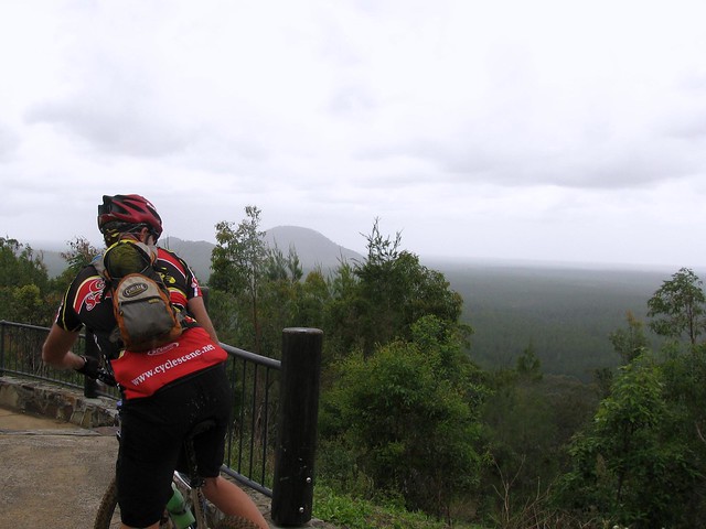
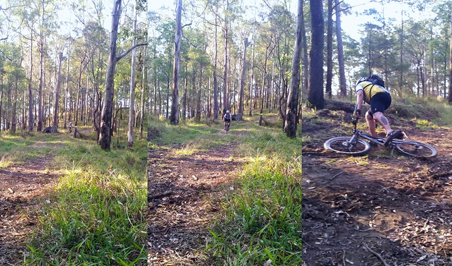
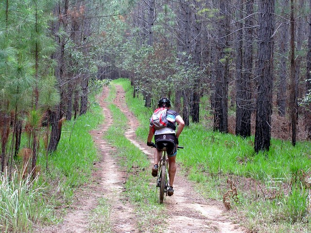
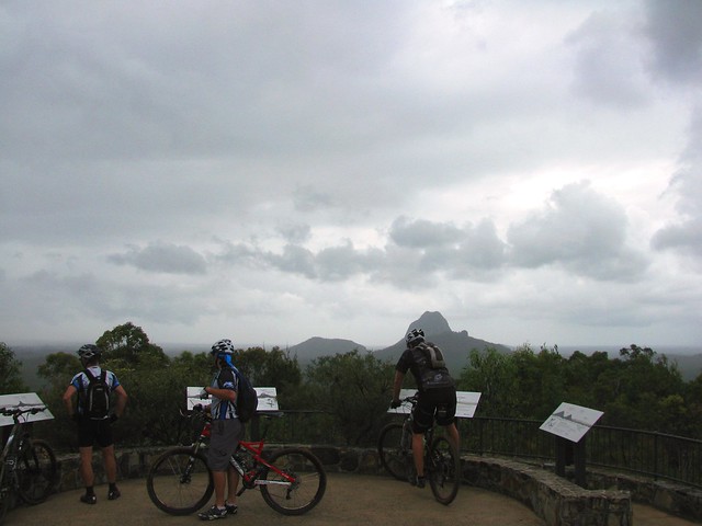
We tried to keep to the dirt where possible, and to narrow tracks where they existsed. It involved some steep climbs, especially leading up to the lookout, and one or two gnarly descents down some rocky, muddy, technical downhills.
Lookout
Although it was overcast and rained a bit, the cooler temps made the ride a lot more comfortable, and the dozens of muddy puddles we had to swerve around just added to the fun.
Climbing the Hill
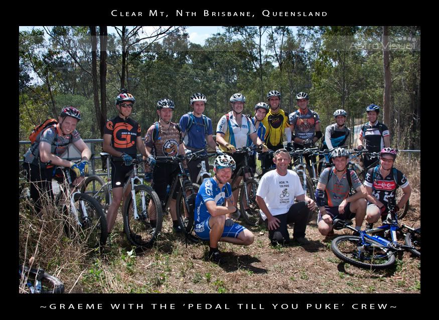
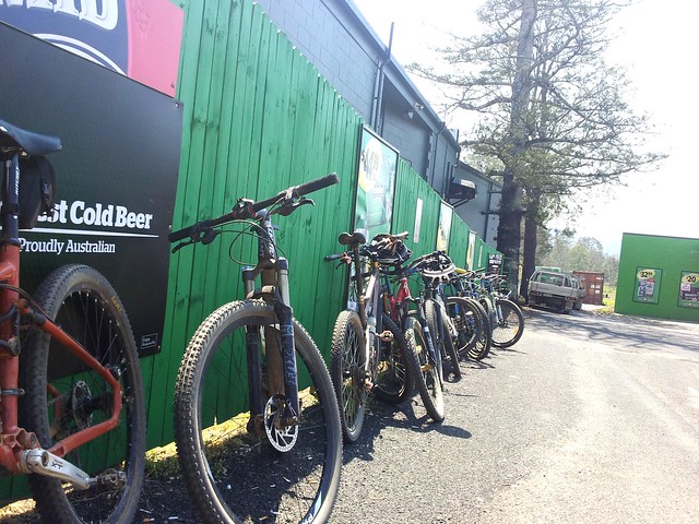
Thanks to all the guys who turned up for the ride. I needed some feedback about part of the route we’re taking next week on our XC ride to Mooloolah, and I received some excellent advice: The gnarly cliff-like drop-offs that lead down to Palmer Road are not for the inexperienced, so next week end we’ll ride down Old Peachester Road instead.

All up 45km with about 940m of vertical ascent, and 3200 kcal of energy. It was harder because of the mud, so tough-o-meter score for this ride is 8 out of 10. In the dry it would more likely be 7 out of 10. It’s well worth the ride.

Total distance: 45.3 km
Total climbing: 1003 m
Average temperature: NAN
Total time: 04:06:58
Download file: activity_123318226.gpx
More data

The Road Less Travelled

The Road Less Travelled
There are lots of quiet trails like this around Beerburrum.

I rode the bike for a couple of hours through the forest in light rain, without seeing another soul – except for a raucous Yellow-Tailed Black Cockatoo.

It was muddy in places, but perfect.

Total distance: 44.38 km
Total climbing: 366 m
Average temperature: NAN
Total time: 02:59:31
Download file: activity_121170377.gpx
More data

Peachester

I’m planning a cross country ride north through the Peachester area and wanted to check out a few trails in the area before that ride.

Glasshouse Mountains
Peachester is perched in the forested foothills of the Blackall Ranges with great views south to the Glasshouse Mountains.

Red-Tailed Black Cockatoo
Last time I was here I wound up in the middle of a bunch of Yellow-Tailed Black Cockatoos all happily squawking to each other and munching on She-Oak bark, but today I was delighted to see this rare Red-Tailed Cockatoo, also hiding up in the She-Oaks.

Goanna
I almost ran over this two metre long Lace Monitor (or Goanna) on my way out of the forest. I spotted a couple today. As I approached, they just slowly waddled out of the way, looking for a tree to climb.

Crikey!
Of course a two-metre goanna seems tiny compared to the huge reptiles that Crocodile Hunter, Steve Irwin, used to wrestle with. This beautiful memorial to him at the start of “Steve Irwin Way” always reminds me about Steve’s passion and energy for those huge reptiles. Passion and energy, in the right place they’re magical things!

If you’re reading this, and you’re free on the 29th of October 2011, and would like a fun 70km cross-country ride through some of this country, why not drop me a line or sign up for the ride here.

Total distance: 19.12 km
Total climbing: 390 m
Average temperature: NAN
Total time: 01:32:38
Download file: activity_120621483.gpx
More data

Wamuran

There’s a crazy loop from Mount Mee that heads down a steep dirt track called Williams Road to Wamuran, then winds through the course of a former rail track, then heads back up the mountain via another rocky steep track called McLeods Lane. I’ve done it before, but today, Tim and I rode it together.

Glasshouse Mountains
The track down is steep. I was leaning so far back I was hanging over the back of my saddle, and yet I still managed to stall and go flying over the handlebars.


Tim decided a more challenging method – his rear brakes started jamming on, so in order to finish the ride, he had to remove his rear brakes. This meant he only had front brakes. Anyone who has ridden down steep dirt tracks will tell you that you need both sets of brakes to make it down safely.
Look Ma, No Brakes!
But somehow the guardian angels of the foolhardy protected Tim from harm, and he made it down safely – with a bit of extra wear and tear on the soles of his shoes.

Note to self:
1. I will carry spare brake pads with me, and will learn how to replace them.
2. I will not try to scramble up McLeods Lane again – it is too steep and rocky.

Sunset - Mt Mee

Total distance: 24.81 km
Total climbing: 630 m
Average temperature: NAN
Total time: 03:32:08
Download file: activity_119639018.gpx
More data

Pedal Til You Puke

About 15 of us got together yesterday to ride some steep hills at Clear Mountain. The idea was to have fun, see who could ride up (and down) the most hills without getting off the bike, and to raise money for a friend of ours.

Graeme Ardern is fighting Hodgkin’s Disease. He needs some money in the next few weeks for neurosurgery that isn’t covered by his health fund or Medicare, so thought we’d all chip in a bit of cash to help out, and have a whale of at time in the process.

Here’s a link to their fundraising site if you’d like to help.

Thanks to Chantelle, Steve and Graeme for some great photos.


The course started out along some narrow trails winding thorugh the forest, across some steep creek crossings, then up onto the main fire trails. I’ve done this loop dozens of times before – I ride it at least once per week, but these guys rode it really quickly, and after 5 minutes I really started to feel puffed out.


We agreed to stop at the top of each hill to let everyone catch up. Towards the end, I was the one crawling to the top puffing and panting.


I was impressed with the skill of some of these riders. I was riding behind Mat (from For the Riders) and was amazed at how high he got into the air over some of the jumps, and how quickly some of these riders could get up the hills.


The last couple of hills were stupidly steep. Some of the guys put in a huge effort to make it part way up the hill. It was nearly impossible to even walk up the slope…


…so I just watched in awe as Graham “Wingadelic” Menizes smashed the last hill – riding straight up it, while singing at the same time. It was a sight to behold.

If you’re interested, Leanne has done a video of the event, including the last huge climb at the end:

I rode with a few friends afterwards to “warm” down, so the total distance for us was 20km (the course was 11km) with total vertical ascent of about 700m, and 1,400kcal. Considering most of that effort was in the first 11km, I’m giving this one 10 out of 10 on the tough-o-meter. I didn’t puke, but I came pretty close.

Total distance: 20.78 km
Total climbing: 752 m
Average temperature: NAN
Total time: 03:15:05
Download file: activity_118195835.gpx
More data

The Wall of Dirt

Today I rode to Walloon (west of Ipswich) via D’Aguilar National Park with some friends from MTBDirt.com.au.

One of the highlights of the ride was the “King of the Hill” contest to see who could ride furthest up a terrible hill we’ve dubbed “The Wall of Dirt”. Tony (“Darb”) won the contest narrowly but he only managed to get part way up the start of this hill, and everyone else didn’t even make that.
The Wall of Dirt
After that, we all had to scramble up the Wall, pushing our bikes.

Banks Creek Road
After finally getting out of the mountains, the trail dropped us out in the middle of Banks Creek – a farming area nestled in among the hills, with miles of dirt roads.

Chasing the Pack
There were 15 of us in all. With a large group it was difficult to keep everyone together. If you look carefully, you can see the “Pack” of riders off in the distance with a couple of the other riders chasing them.

Bikes at the Shop
Parking space for the bikes was limited once we got to the Fernvale Bakery.

The food and drinks hardly touched the sides on the way down.

Mountain Biking Mates
Thanks everyone for a great ride. I really enjoyed spending the day with you.

I’m grateful to live in such a beautiful place.

All up, almost 90km with about 1,750m of vertical ascent, and about 4,750 kcal burned.

It was a hot day, and the Wall of Dirt was really tough, so I’m giving this one 9 out of 10 on the tough-o-meter.

Total distance: 89.64 km
Total climbing: 1828 m
Average temperature: NAN
Total time: 08:13:46
Download file: activity_116562872.gpx
More data