Bribie by Fat Bike

Riding on the Beach
The aim of today’s adventure was to ride up the coast of Bribie Island as far as we could, then ride back south via the inland trails.

My friend Murray is so enthusiastic about “Fat Bikes” that his nickname is “Fat Muz”. He’s not fat – but the tyres on his bike are huge. I had managed to borrow a fat bike from a kind friend, and Murray agreed to ride with me for the day.

Woorim Beach
Tyre Tracks
We started at Woorim on the south-eastern tip of the island. It was low tide, which gave us a firm and generously wide causeway on which to ride. We pointed the bikes northwards and started pedalling with a gentle breeze wafting over our shoulder, the waves breaking on our right, and an endless and empty beach stretching off into the distance – it was delightful.

Lagoon, Bribie Island

There are several lagoons near the beach. We decided to stop at the first one on the way up. The water is stained brown by the tannin from the trees but it’s still beautiful.

I noticed how difficult it was to pedal the bike once we got off the firm sand near the beach upto the softer sand near the lagoon. Even though these bikes have fat tyres, there are still places where you have to work really hard to ride them. Soft sand is tough terrain – even on a fat bike.

Bike & 4X4 on the beach
As we continued our journey up the beach, we were passed by a few 4×4’s on their way northwards. Every now and then we’d pass people fishing, or lazing under trees, or splashing about in the waves. Everyone was happy.

Rest in the shade
Rest in the shade

The sun rose higher in the sky and the day grew hotter. After an hour we decided to have a quick break in the shade of a tree on the edge of the dunes. I swapped my helmet for a broad hat and a bandanna. Murray’s “hat” trumped mine. It looked awesome.

Fort Bribie
We eventually came to “Fort Bribe”. These ruins from the Second World War are reminders of the strategic importance that the armed forces placed on Bribie and Moreton Islands as they defended Moreton Bay from enemy attack.

Looking towards Bulcock Beach, Caloundra

Slowly the buildings on the northern horizon swelled in stature, and sooner than expected we were standing on the northern tip of the island gazing across the narrow passage towards Bulcock Beach at Caloundra.

Looking towards Bulcock Beach, Caloundra

A couple of my friends have dreamed how cool it would be to ride to the top, and have a friend waiting with a tinny to ferry us across the passage to civilization. It sounds like fun, but the practical part of my mind wonders how you’d safely carry a bike on an unstable little boat.

Fatty on the sand
Feet in the water
We thought about having a bit of a swim, but I don’t think either of us wanted to go to the trouble of getting changed, getting wet, getting dried, then getting changed again. So we rested the bikes on the sand, had a snack, and cooled our feet instead.

Rising Tide
Conditions started to change as we rode back down the beach. The tide was rising. Sand which was once firm, crusty and easy to ride on was now soft and boggy. The further we went, the softer the sand. Eventually we ground to a halt.

Bribie Campsite
Heading Inland

We decided to complete the southward leg of the trip via inland tracks. We wouldn’t be subject to the tides, but some of those tracks had mountains of soft boggy sand. This was going to be hard work.

Ski boat, Lighthouse Rach

Picnic Area, Lighthouse ReachWater tank - Lighthouse Reach picnic area

After a kilometre of battling soft sand, we had another break at a shady picnic shelter at “Lighthouse Reach”. I noticed that I was using a lot more water than I normally did, and topped up my spare bottles from a rain tank, adding some Micropur tablets to kill any greeblies.

"Heart break Road"

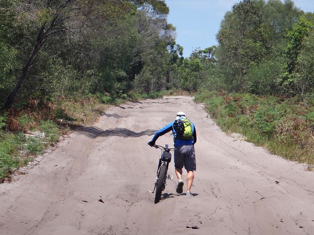
What followed can only be described as two kilometres of heart-break. The sand was soft and unrideable. But, being away from the sea breeze, it had also been baked scorchingly hot by the sun. When we tried to walk on it, it filled our sandles and burned our feet. It was painful work even pushing the bikes.

Forest Trails
Rest in the Shade

We eventually found some secondary trails leading off from the main track and followed them. They were rideable, at least, but the rough grass made progress slow. I relaxed under this small shady tree for what seemed like ages, cooling off.

Forest Trails
Creek Crossing

The trails got rougher, but were mostly rideable. They were pleasant, too. On our left side we had native scrub forming part of the national park. On our right we had pine forest.

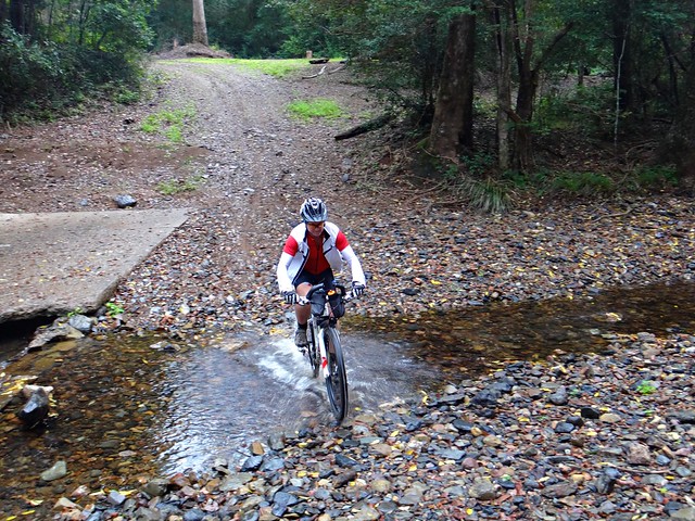
We had to cross a couple of small creeks. Remembering the disaster I experienced when I last tried to cross a creek, I hopped off the bike, and crossed with the utmost care. My knee thanked me profusely.

Forest trails
The track veried between hard-pack and loose sand. We eventually reached a turn-off which would lead us to the beach, but decided against going back on to the beach.

It was now about 1.30pm, and the tide would be all the way up the beach. We continued to follow the inland track instead. This was good and bad. The last few kilometres of the inland track featured some really soft sand. We were tired, hot, and sunburned. It was a major effort to keep the pedals turning, but we did.

Exhausted
The track ended near “The Twin” cinema on first avenue. We staggered in and Murray bought me a huge (600ml) cinema Coke. As I rested in the deliciouly comfortable leather chair, I started drinking and couldn’t stop. As soon as I finished it I aked for another and downed it just as quickly.

Bike path, Woorim
We had finished with sand for the day. I “sloshed” on the bike as I rode the bike track, full of soft-drink.

What a relief!

Total distance: 69.28 km
Total climbing: 1378 m
Average temperature: 29.8
Total time: 08:48:30
Download file: activity_395443060.gpx
More data
Although it took us about two hours to reach the tip of the island, it took us over 6 hours to get back.

All up we rode 67km in just under 9 hours including breaks.

I burned 4,300 kcal.

Although this “flat” ride only had a feeble 217m in elevation gain, this was one of the toughest rides I’ve ever done.

I have no hesitation rating it 10 out of 10 on the tough-o-meter

If you’re crazy enough to attempt it, be warned:
1. Take plenty of water.
2. Wear sun-protective clothing.
3. Use plenty of sunscreen, and re-apply it. Put it ALL over. Radiation at the beach is multiples higher than what you’d experience on a normal MTB ride.
4. Check the tides. You can’t ride a fat bike on the beach at high tide.
5. Take a crazy but capable friend. Murray is very capapble, and a bit crazy like me, so was a perfect riding buddy šŸ™‚
6. Do it in winter.
7. Remember that beach rides are not symmetrical. What takes you two hours in one direction can take you six hours on the way back.

Thanks Murray for an awesome ride!

Riding on the Beach

Lakeside Epic

Forgan Cove
Riding around Lake Samsonvale via Dayboro is a popular ride for road-cyclists with great views. It has an awful lot of paved road for a mountain biker, so we decided to do an off-road version taking in as many trails and tracks near the lake as we could while still enjoying all of the views.

Forgan Cove
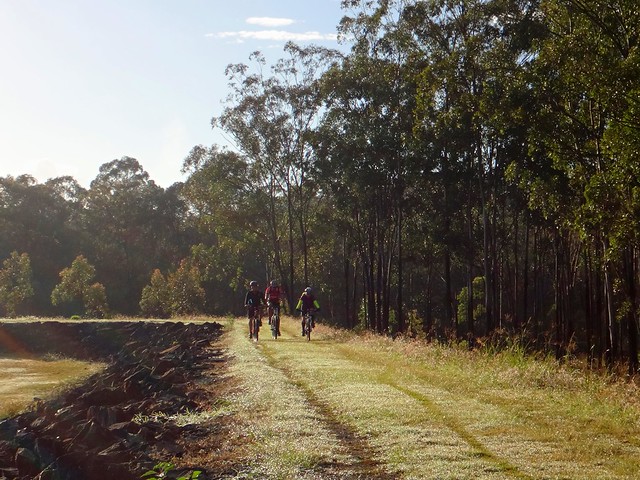
We began by following some quiet meandering tracks around Forgan Cove. I often ride through here during the week on one of my “chill-out” sessions. It was fun to be able to share some of my home trails with friends.

Old School Road
The quiet flat trails were soon distant memories as we pointed our bikes up Old School Road. This is a reasonably tough dirt climb up Clear Mountain, with a nasty little pinch climb at the end.

Old School Road
The final climb on Old School Road is a bit of a bellweather test for me. Until my recent knee injury I prided myself on being able to climb it. This was my first attempt since then, and also the first time I’d tried it using flat pedals instead of clip-ins. It was really difficult, but I made it, puffing heavily, unable to talk. Sue has wanted to nail this hill for a while. She made it,, and put in such an intense effort that she heaved up what was left of her breakfast at the top. Well done, Sue šŸ™‚

Clear Mountain
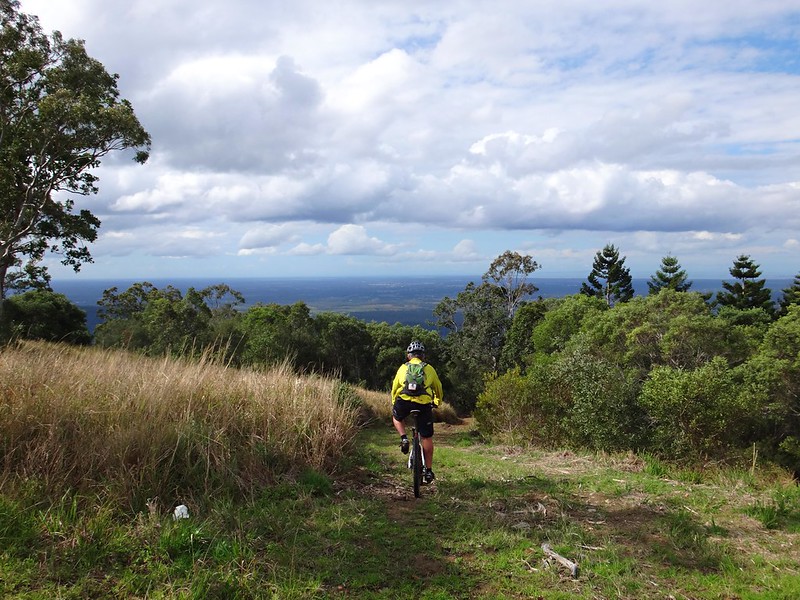
But the top of Old School Road only marks the half-way point of the climb. After a bit more huffing and puffing we finally made it to the summit of Clear Mountain near the resort.

From there we rode the downhill jump-track to the bottom of the hill.

Clear Mountain
Some people rode the twisty single-track all the way to the bottom. I decided to play it safe and avoid further injury by following the “Pineapple Break” fire trail to the bottom.

South-Western Trails

After a couple of kilometres along Winn Road we followed a few more trails along the south-western shoreline of the lake. The shoreline hass many “fingers” of land protrudiung into the lake at this point, so if you wanted it would be possible to meander around countless peninsulars all day.
Mount Samson
Mount Samson looms large in this part of the world.

Mount Samson Rail Trail
We eventually met up with the remnants of an old railway line that used to pass through this area fifty years ago. Much of the railway is under water, but it’s still a viable track in some parts.

Mount Samson Hall
The day grew hotter, and we had been working hard, so we stopped at the Mount Samson Community Hall to fill up with water and rest in the shade.

Mount Samson Rail TrailMount Samson Rail Trail

The remnants of the railway line emerge from the lake near the small locality of Samsonvale. This once used to be a thriving little town. Now all that remains is the cemetery. We followed the railway line along the shore, past the site of the old Samsonvale Railway Station.

Leis Crossing, Dayboro
Leaving the flat shoreline of the lake, we headed west into the hills behind Kobble Creek. Although the roads were paved, this was a hot and challenging section because of some of the steeper gradients. A few people were starting to feel hungry. We had toyed with the idea of having a quick swim at this pleasant section of the North Pine River at Leis Crossing, but I think most people could smell the cafes of Dayboro so we decided to keep riding.

Lunch at Dayboro
Dayboro was a welcome lunch stop. Because there were about a dozen of us, we split up around a few of the different shops around town to have lunch. A few people had a quick lie down on the picnic benches, or topped up their water supplies.

Strongs Road
A farmer out the back of Dayboro kindly gave us permission to ride through his property along the old Strongs Road reserve.

“I thought all you bikies were in jail”, he quipped as he let us through.

Strongs Road is a quiet alternative route east out of Dayboro. Part of it runs through private property, so there are no cars. Most of it is unpaved, which makes it a pleasant ride on a mountain bike.

King Eric
At the end of the road, Eric sat on an old couch and “held court” with anyone who needed his sage advice.

Dayboro Rd Horse Trail
Once we met up with Dayboro Road again, we tried to follow some of the horse trails by the side of the road to avoid traffic. Although the track had been mown, it was still rough going. Eventually we decided to take our chances for 4 or 5km along the bitumen until we met up with our next off-road trail.

Looking over the lake
Northern Trails
The endless trails on the northern side of the lake are a lot of fun to ride. The views were impressive, and the shady green tracks were a welcome relief from the hot tarmac.

North Pine River
Towards the end of the ride, as luck would have it, I was “leading from the rear” and lost about half the riders who rode ahead of me the wrong way. While they rode on ahead, a few of us followed the final few tracks along the river back up to our starting point.

Forgan Road
This ride was 77km with about 1,500m of ascent. It took about 8 hours including breaks, and I burned 4,500 kcal.

For a fit rider I’d rate this one about 8 out of 10 on the tough-o-meter. For beginners or anyone nursing a reasonable injury I’d rate it 9 to 9.5 out of 10.

Here’s Darb’s video of the day:

Lake Samsonvale 2013-10-20 from Darb Ryan on Vimeo.

Thanks everyone for a great day. I’m so pleased to be able to enjoy long rides with friends again!

Total distance: 80.37 km
Total climbing: 2687 m
Average temperature: 28.1
Total time: 08:42:23
Download file: activity_392802086.gpx
More data

My Backyard

Climbing a Hill
In an unusual twist this week, Eric and I opted for a Sunday Ride closer to home.

Two of my favourite spots around here are Lake Samsonvale, and Mosquito Creek, so we decided to combine the two. The first time I tried this ride almopst 4 years ago it took me almost 5 hours. Today it took about 3 and a half hours, so I felt quite smug considering I’m only using one and a half legs at the moment.

Sweeney ReserveMungarra Reserve

We spent the first part of our ride dodging magpies on the bike paths which follow the North Pine River between Sweeney and Mungarra Reserves. Armed with a trusty piece of hose-pipe which I twirled around my head helicopter-style, the feathered fiends left us alone.

KoalaMike
My neightbor, Mike, is a member of Koala Tracker. When we came across him, he was grinning because he had spotted a Koala near the track. They used to be really common around here but are slowly disappearing because of indiscriminate land-clearing. Good on ya, Mike!

Lake Samsonvle Tracks
Before long, we reached Lake Samsonvale and enjoyed riding the bikes along the twisty tracks that follow the shoreline.

Unstoppable Eric
Hike a Bike

As the hills got steeper, I started to lag behind, but Eric kindly waited for me at the top. I’m pretty sure I could have nailed this hill today if I didn’t lose traction. Maybe next time šŸ™‚

Dunlop Lane
After leaving the lake we headed down towards Dunlop Lane which snakes lazily along some small irrigation dams before it becomes a faint trail as it climbs through Slickers horse riding park. We didn’t see any horses today – I think they were all working hard.

Smiths Rd South
From there we followed Smiths Road northwards. Like Dunlop Lane, “Smiths Road” is a road in name only. The road reserve is based on the historic “Old North Road” that was blazed through here in the 1840’s. That was based on the traditional trail made by local aborigines over many centuries as they passed through the area.

Mosquito Creek
The most enjoyable part of Smiths Road is as it descends to the crossing over Mosquito Creek. It’s possible to pick up quite a bit of speed on the bike, shoot across the causeway, then zip up the steep bank on the other side.

Raynbird Rd
Eric and I felt like stretching the ride out a bit longer today, so we kept going north until we hit Raynbird Road. After a bit of huffing and puffing up the hill (mostly on my part), we took a quick break at the top to enjoy the views of the Glasshouse Mountains and Moreton Bay.

Browns Creek Road
From there we headed homeward via Browns Creek Road.

Browns Creek is named after “Shake Brown”, a Sri Lankan man who married aboriginal woman Kulkurrawa in the 1840’s. He was killed in this area because Kulkurrawa’s countrymen (like many a protective brother-in-law) suspected he wasn’t caring for her properly. You can read more about the Kulkurrawa and Shake Brown here.

Browns Road
Browns Creek Road devolves (or evolves, depending on whether you ride a mountain bike or not) into Browns Road. It’s rougher and much more fun – especially if you ride it down-hill like we did today.

Forbes Rd
From there we continued our homeward trek along some quiet back-roads.

Corella
Today wasn’t the most epic of rides, but I enjoyed sharing it with Eric. I’m grateful to have such a scenic backyard. In fact, after two months of staying off it, I’m grateful to just be riding again. Living in paradise, and being able to explore it on a bike. How good is that?

45km, with over 800m of ascent, in about three and a half hours. I burned about 2,000 kcal, and felt pretty tired afterwards.

For the fit, this one rates about 6.5 out of 10 on the tough-o-meter. Rehabilitating limpers like me should rate it about 8 out of 10.

Thanks for a great morning on the bike, Eric!

Total distance: 46.17 km
Total climbing: 1280 m
Average temperature: 26.5
Total time: 03:30:19
Download file: activity_389487426.gpx
More data

Minjerribah

Brown Lake

North Stradbroke Island is a stunning sand island which frames the eastern border of Moreton Bay, near Brisbane. It’s the second largest sand island in the world, after Fraser Island – a couple of hundred kilometres further north.

I spent a day roaming over this special place with my son, Jonathan.

Until about a century ago, it was one island. During a fierce storm, a ship laden explosives was wrecked on the Jumpinpin Bar. Local authorities detonated the explosives rather than risk a catastrophe while trying to retrieve the cargo. This weakened the sand bar, which allowed rough seas from the storm to break through, cleaving the island in two, forming a new passage between North and South Stradbroke Islands.

“Minjerribah” is the aboriginal name for Stradbroke Island. “Moorgumpin” is their name for Moreton Island. These islands, together with all of Moreton Bay are known as “Quandamooka” country. The Quandamooka Aboriginal people comprise three groups: The Goenpul and Noonukul from Minjerribah, and the Ngugi from Moorgumpin.
Moreton Bay Sunrise
The only way to get to “Straddie” is by boat. Our ferry left Cleveland at 5:15am, so I had to get up at 3am in order to pick up Jonathan and get to the ferry on time.

Moreton Bay Sunrise

Bleary eyed, and dosed up to the eyeballs with strong coffee, we stood out on the deck of the ferry, “Big Red Cat”, and marvelled at the amazing dawn.

Brown Lake

As we drove off the ferry, our first destination was Brown Lake – an elevated fresh water lake in the middle of the island.

Brown LakeBrown Lake

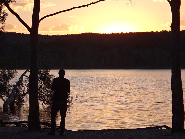
The sun was just rising over the hills as we arrived, so in true tourist fashion we gaped at the beauty while clicking off dozens of photos. It’s not every day you get to see a sunrise over a pristine freshwater lake.

Eighteen Mile Swamp

A little further towards the east we arrived at the “Eighteen Mile Swamp” a coastal freshwater swamp stretching for almost 30 kilometres behind the coastal dunes. This amazing lake is the largest of its kind in the world and is home to a large number of rare and endangered species.

Naree Budjong Dara

The swamp, surrounding forests, and dunes form part of the Naree Budjong Dara National Park. “Naree Budjong Dara” means “My Mother Earth” in the language of the Quandamooka people.

Main Beach - North Stradbroke Island

The beach here stretches as far as the eye can see in either direction. It was a wonderful feeling to be one of only a handful of people on the entire beach. Lots of space is good for the soul.

Sand Bog

It’s important to remember that the beach is an official road, and that vehicles could pass by at any time. These drivers were bogged in sand and were desperately trying to free their car by scooping sand out from under the tyres.

Tortoise Lagoon

As we made our way back from the beach, we stopped for a short walk around Toroise Lagoon – another fresh water lake that forms part of the “Blue Lake” system.

Blue Lake Walk

Because of my knee, I didn’t feel able to complete the full 6km walk around Blue Lake, but I felt pretty good about doing the shorter 3.5km loop around Tortoise Lagoon instead.

Shell Midden
Shell Midden

Back on the bay-side of the island near Dunwich, we checked out one of the few remaining Shell Middens on the island. Over centuries, Aborigines would sit around here, enjoying shellfish, oysters, crabs, etc. The left-over shells were discarded in a large pile. Over time this heap grew to several metres in width and a couple of metres high. I explained it to Jonathan as the remnants of a two-thousand year long indigenous seafood party.

Dunwich Shoreline

“Imagine being able to go out on the rocks and pick up a handful of Sydney Rock Oysters, or Moreton Bay Bugs whenever you wanted”, I said to Jonathan.

Before European colonisation, this place was paradise. Life here must have been full of contentment.

Amity Point
Amity Point

We then made our way northwards towards Amity Point, at the north-western tip of the island.

This is a fascinating point for a number of reasons:

It’s not far from here across the treacherous South Passage to Moreton Island. This is a dangerous passage because of shifting sand bars, strong currents, and unpredictable conditions.

At this point in 1823, the local Aboriginal people had their first face to face contact with Europeans. Last week I wrote about three shipwrecked ticket of leave convicts who were rescued by John Oxley on Bribie Island. Finnegan, Parsons and Pamphlett were washed ashore on Moreton Island. The Ngugi people on Moreton kindly fed these poor begraggled strangers for two weeks, and then rowed them across the South Passage to Amity Point. The Noonukul cared for them for another five weeks before eventually sending them on their way across the bay to the mainland via Peel Island, coming ashore near Ormiston.

Sovreign Memorial, AmitySovreign Memorial, Amity

A couple of decades later, Europeans were colonising Moreton Bay, including the Island. Amity Point was chosen as a Pilot station because of its proximity to the South Passage. The Cargo Ship, Sovreign, was moored off Amity for over a week in heavy weather. She attempted to clear South Passage, but was wrecked in the process, going down about two kilometres off shore.

A group of Aboriginal men, some from Minjerribah, some from Moorgumpin swam to the wreck, at great risk to their own lives. They were able to save the lives of ten passengers. Unfortunately, 44 people drowned.

It was a tragedy, but the aboriginal men were heroes, and were honored by the NSW government for their bravery.

Today, two of these brave men, Toompany and Nuggin, have streets in Amity named after them.

Hope Memorial, Point LookoutCylinder Beach

As we drove along the northern tip of the island, towards Point Lookout, Jonathan and I discovered more historical gems at Cylinder Beach.

In 1803, the colonial ships, “Cato” and “Porpoise”, were wrecked on reefs east of Gladstone. Matthew Flinders took the ship’s cutter, and decided to sail the small open boat back to Sydney with thirteen other men. After sailing 600 km south, they were running dangerously low on water, and anchored off Cyclinder Beach to find water. Some aborigines on the cliffs saw them, and signalled to them where they could find fresh water from a small creek nearby. After refilling their casks, the crew were able to complete the perilous 1,000 km voyage to Sydney.

Cylinder Beach
When we looked along Cylinder Beach today, speckled with holiday makers, it seemed a long way from the remote water stop for thirsty sailors over two centuries ago.

Cylinder Beach
Cylinder Beach

The warm turquiose ocean is stunning to look at here. As I soaked in the beauty it occurred to me that the original inhabitants of this place were fortunate to live happy, healthy lives in one of the most bountiful places on the planet. They enjoyed a standard of living higher than most of the Europeans who were trying to colonize them. In most early contacts, they responded with kind-hearted generosity.

Thomas Pamphlett came from the north of England during the industrial revolution. It would have been cold, dirty and crowded. His poverty would have made it difficult to find food to eat each day. I wonder how he would have remembered his seven weeks in the sun with the Quandamooka people?

North Gorge - Point Lookout

At Point Lookout, on the north-eastern tip of the island, we walked around North Gorge. This is a spectacular inlet where the waves rush up the narrowing gorge.

North Gorge - Point Lookout

It’s also a great spot to gaze out at the Pacific Ocean and watch for migrating Humpback whales.

Surfers at Main Beach - North Stradbroke Island

You wouldn’t believe it was the last day of “winter” – the warm water was full of surfers.

Main Beach - North Stradbroke Island

From the headland we were able to look southwards down Main Beach as far as our eyes could see.

What an amazing place. I’m definitely coming back here on a bike when I am able šŸ™‚

All up we travelled about 220km. It was 55km each way to the ferry at Cleveland, 10km each way across the bay and back on the ferry, and about 100km of driving on the island. To take a car on the ferry costs about $140, although during the winter months if you catch the early ferry it only costs $80. For a car with 4 or 5 passengers all contributing to the fare, it works out pretty cheaply.

We spent 9 hours on the island and didn’t feel rushed looking at all the things we wanted to see.

Total distance: 129.46 km
Total climbing: 3267 m
Average temperature: 29
Total time: 10:53:50
Download file: activity_367850565.gpx
More data
Total distance: 3.91 km
Total climbing: 323 m
Average temperature: 20.6
Total time: 01:08:33
Download file: activity_367861585.gpx
More data

Ocean View

Down down down...

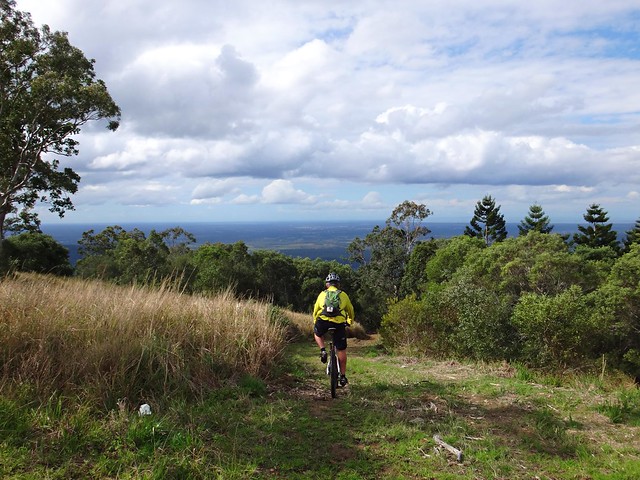
We didn’t want to stray too far from home today, so I took my friends on an exploration of my “back yard” starting from the railway station down the road, and riding up into the mountains at Ocean View (near Mount Mee) before rolling back to Burpengary to catch the train. I love rides like this because it reminds me how lucky I am to live in such a beautiful place. Even though we might sometimes drive a few hours to explore a place on the mountain bikes, it’s reassuring to prove the old proverb that there is no place like home.

Lake Kurwongbah
Lake Kurwongbah
Lake Kurwongbah
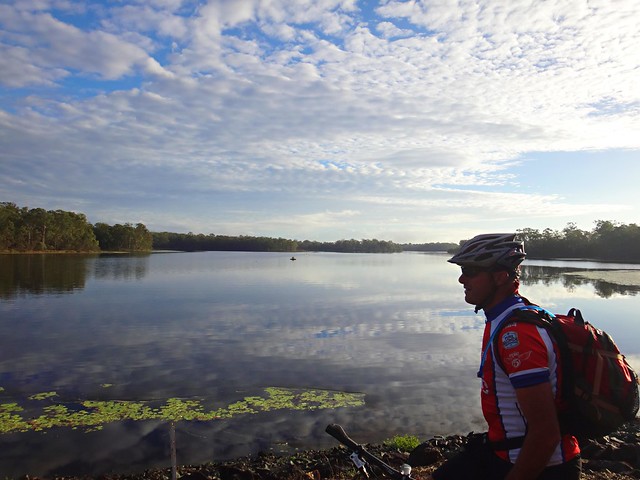
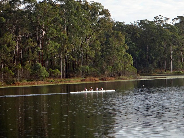
We started off riding along the shoreline at Lake Kurwongbah. As if on cue, as soon as I started taking pictures, these rowers appeared out of nowhere. Don’t you just love days like that?
Lake Samsonvale
From there we headed for the shoreline of Lake Samsonvale and rode a few of the trails there. It’s quite hilly under the power lines, so we stopped for a rest at the top of the hill to enjoy the great view of the D’Aguilar Range to the west.
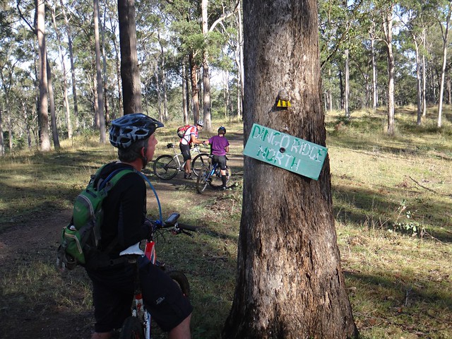
"Dingo Ridge North"
Dunlop Lane
This led us to one of the more historic trails in the area. “The Old North Road” was used here in the 1840’s by the Archer Brothers as a way of getting from Nundah near the Moreton Bay Settlement to Durrundur Station, near present day Woodford. It was based on an old Aboriginal pathway used for generations by people who walked from Meanjin (what we call “Brisbane” today) to the Blackall Ranges (near present day Maleny). These days, an un-built gazetted road, Dunlop Lane, follows the parts of this route. It’s a popular trail for horse riders.

Raynbird Road
As we slowly made our way in a north-westerly direction towards Ocean View, the hills grew steeper, and the climbs became more challenging…

Mountain View Road
Eventually we reached the major climb of the day – Mountain View Road. What a big hill!

Mountain View Road
Photos don’t do it justice, but even Eric and Jason (both very strong hill climbers) had to walk bits of it. I did too. šŸ™‚

The Glasshouse Mountains
Lunch at Ocean View
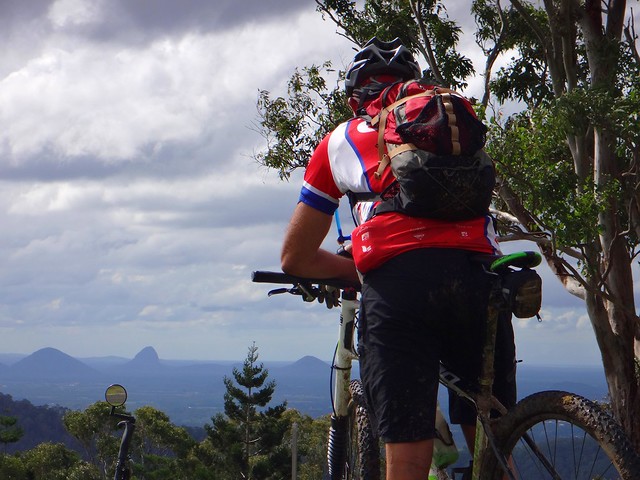
We had a well-earned lunch at the top of the hill in a picnic area. In whatever direction we looked we were treated to great views.

Townsend Road
After lunch we continued north towards our next point of interest – the source of the Caboolture River. This river starts as a mountain stream in the rainforest at Ocean View. I thought it would be interesting to check it out.

Waterfall - Upper Caboolture River
The Upper Caboolture River
(Photo: Eric Dousi)

As we made our way along the track the sound of rushing water echoed through the trees. It wasn’t until we were almost right on top of it that we found the Caboolture River pouring over a waterfall.

The Upper Caboolture River
It looked impressive but we couldn’t find a place to cross the river at this spot, so we made our way back up the hill to try and find a way above the waterfall.

Ferny Forest
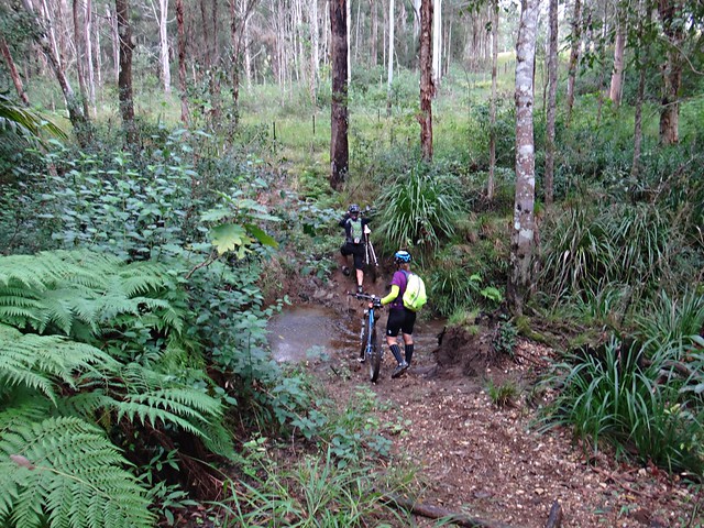
It was a bit of a circuitous route through fern covered gullies…

Barbed Wire Fence
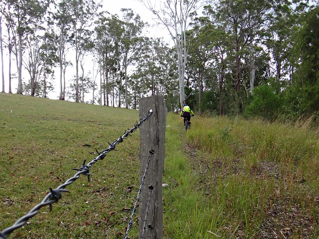
…along barbed wire fence lines…

River Crossing
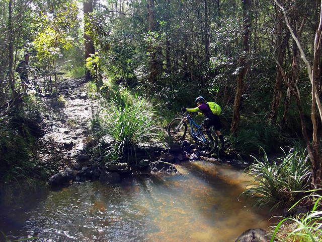
… and over more river crossings…

Ocean View
… until we finally made our way out of the thick bush and back onto the edge of the mountain range on Dean Drive. We’d paid our taxes in advance to the gravity gods, and so now we were able to enjoy an intense descent back down the hill.

Down down down...
We took one last view at the panorama looking east towards Moreton Bay, and started the downhill run. This was one of the steeper tracks I’ve ridden down. To maintain control, I hung my backside out over the back wheel as far as I could. So far, in fact, that it was almost touching my rear tyre. But I survived the descent and was able to stay on the bike.

Sheep Station Creek
Sheep Station Creek

As we reached the bottom of the range, it started raining quite heavily. We adjusted our route to get back to Burpengary Station as quickly as possible, shaving a few kilometres from our original route. We were still able to enjoy a quick (but wet) ride through Sheep Station Creek.

Home Train
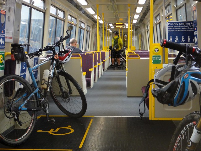
We eventually made it to the train with about 15 minutes to spare, having ridden almost 70 km in seven hours. We climbed almost 1,800 metres and I burned about 3,500 kcal.

I’m rating this one 8.5 out of 10 on the tough-o-meter. The climb up Mountain View Road was tough. It was quite difficult bashing through the rainforest to get across the Caboolture River. The descent back down the range was challenging as well – not for beginners.

Thanks to Rebecca, Eric, Paul and Jason for a great ride through my back yard!

Total distance: 70.38 km
Total climbing: 2509 m
Average temperature: 17.2
Total time: 07:03:19
Download file: activity_345125317.gpx
More data

Return of the Super-V

Joyners Ridge Road
The “Super-V” is a popular mountain biking loop in D’Aguilar National Park. It gets its name from the “V” shaped elevation profile as you drop steeply down to the England Creek Valley from Mount Glorious, then slowly have to ride up an equally steep road to get out. It’s loops like that which inspired the famous Mountain Biking adage: “What goes down must come up”. I.e. whenever you enjoy a long ride down, you’ll have to pay for it with a long ride back up.

Maiala Park Sunrise
Western Window

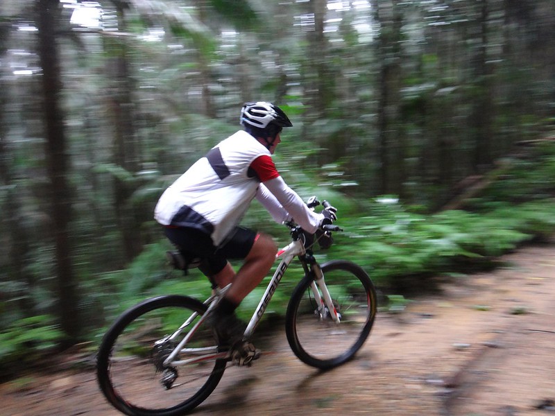
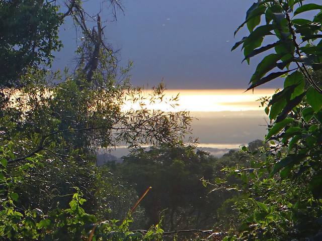
Wayne and I started this mid-week ride from Maiala Park at Mount Glorious. It was cold, humid, foggy and a misty rain was falling, but we were still able to see the sun poking through the clouds as we looked down the mountain towards the coast.

Lawton Road
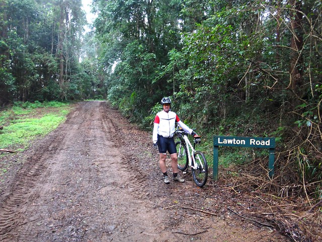
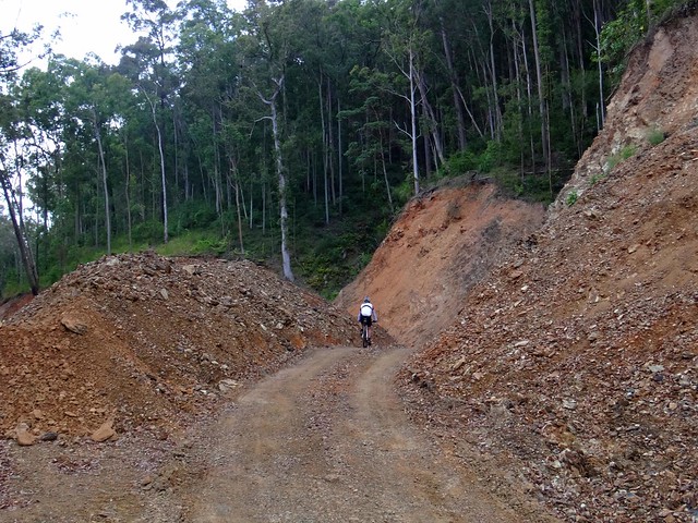
Lawton Road has been closed for over two years. Much of it was washed away in the floods of 2011, and park workers have only just recently repaired all the landslips.

Lawton Road
Where once there were huge chasms in the road, now there are large mounds of gravel where the graders and dozers have rebuilt the road. I doesn’t look pretty, but I think it will probably last a bit longer in a storm than the last road. All it needs is a few months of sunny weather to cook the surface, and it’ll be perfect.

Northbrook Mountain
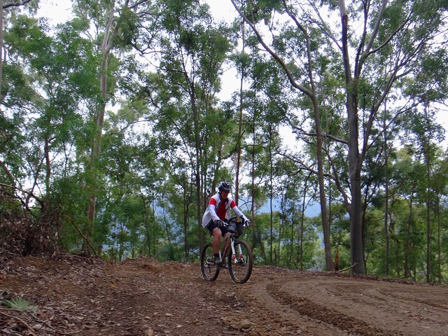
At the moment, so soon after re-construction, and after wet weather, the surface is boggy in places, which made the steep climb up to Northbrook Mountain a little more challenging. Needless to say, Wayne beat me to the top.

Northbrook Mountain
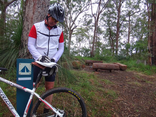
I didn’t even realize this bush camp at Northbrook Mountain was here. It’s a gorgeous little campsite on the top of the mountain, on a turn-off about 500 metres past the Lawton Road water tank. There’s even a visitors book you can fill out (which we both did).

Northbrook Mountain
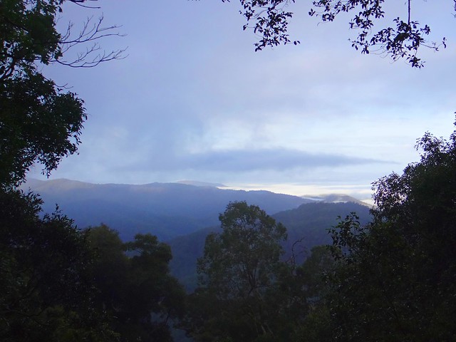
The long ride down England Creek Road is wonderful – and the views are…. well look for yourself! Amazing!

England Creek
England Creek
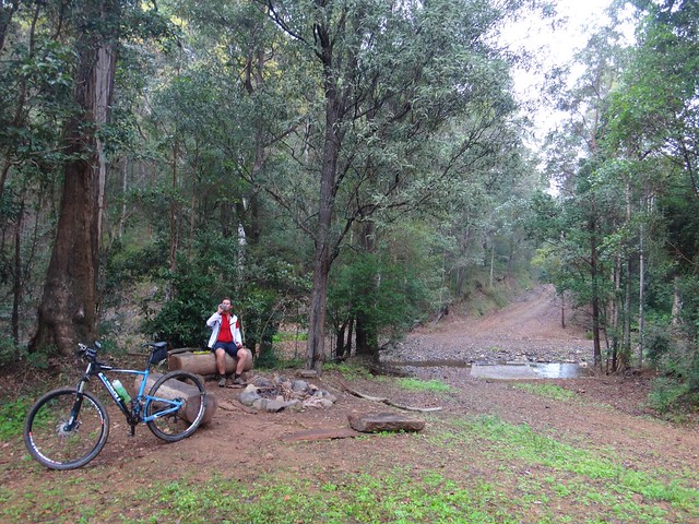
I know it looks like it, but we weren’t doing a “Bush Camp Crawl”. It’s just that the England Creek Bush Camp was about half-way, and we both felt like a bite to eat šŸ™‚

Joyners Ridge Road
And from there we slowly made our way up Joyners Ridge Road. I explained the origin of the name to Wayne. You can read about why it’s so named here. Wayne also kindly tolerated my rendition of Banjo’s “Clancy of the Overflow” as we rode up the trail. It’s very hard to recite a poem while you’re out of breath, but it takes your mind off the climbing!

We travelled 23 km in just under 3 hours, during which we climbed 930m and I burned 1,500 kcal. If you don’t have much time (like during the week) this is a great little loop. I’ll give it 7.5 out of 10 on the tough-o-meter. The cool moist weather made it a very comfortable ride.

Thanks for the great company, Wayne!
Total distance: 24.8 km
Total climbing: 1134 m
Average temperature: 12.2
Total time: 02:54:27
Download file: activity_343764056.gpx
More data

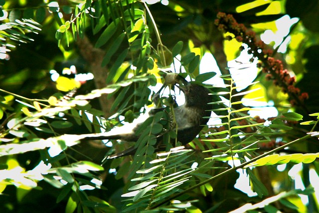
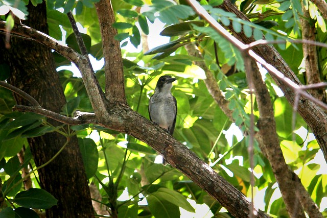
Butcher Bird

Butcher Bird
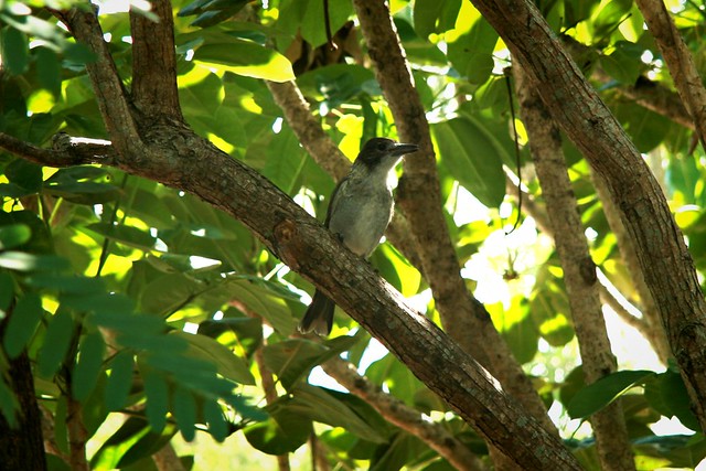
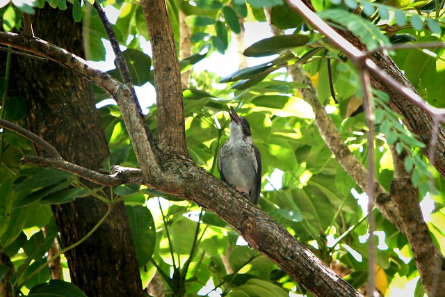
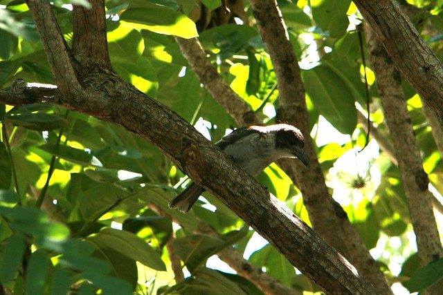
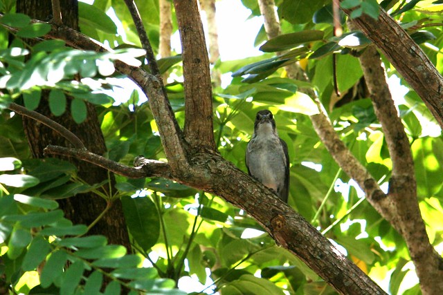
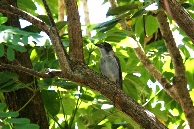
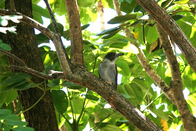
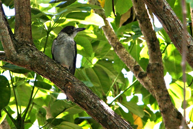
Here’s a few photos I took of a juvenile Grey Butcher Bird (Cracticus torquatus) sitting in a tree at our place this morning.

They have a beautiful song, and are quite agressive in the nesting season. Birds often attack cyclists in the nesting season. A Plover will scream madly at you until you go away (they nest on the ground, and have a lot to lose if thet don’t chase you). A Magpie will give you a warning cry before attacking, and will often snap their beaks close to you, to scare you off. But a Butcher Bird will slam into the side of your head without warning, and then warble happily about it afterwards, as though she was laughing at you: “Gotcha, you nasty cyclist. Stay away! Don’t come back!”.
For the rest of the year they’re fun to watch, and to listen to…

DID YOU KNOW that there was a vindictive court case in Brisbane in 1882 (Spry vs Minchinton) about the theft of a Butcher Bird?

Butcher Bird
Butcher Bird
Butcher Bird
Butcher Bird
Butcher Bird
Butcher Bird
Butcher Bird
Butcher Bird

Cooling Off

Cooling off on a hot day
Most of Australia has been experiencing a heat-wave. This makes riding a bit more challenging. So to beat the heat on my ride today, I thought I’d take a break at the half-way point and go for a swim.

Lake Samsonvale
Many of the trails around the lake are kilometres from anywhere. Knowing that the nearest person might be several kilometres away often gives me a wonderful feeling of solitude.

Lake Samsonvale
The views are great too.

Parked Bike
So I just found a quiet spot, parked the bike, and jumped in.

Cooling off on a hot day
I loved the feeling of having such a large lake all to myself, and enjoyed cooling off. The water was delicious. I think I could make a habit of this!

Total distance: 33.89 km
Total climbing: 625 m
Average temperature: NAN
Total time: 03:02:01
Download file: activity_259932460.gpx
More data