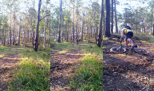
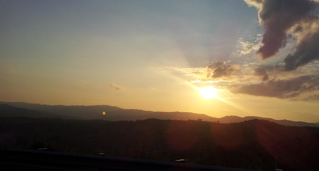
Noosa Trails Network

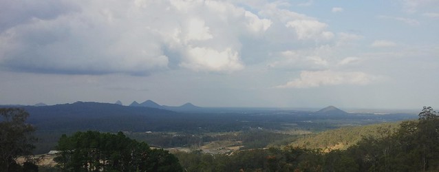
Cootharaba Lookout
Gillian Duncan and Mark Roberts gave an excellent description of the Noosa Trail Network in the latest edition of their book “Where to Mountain Bike in South East Queensland”. I thought I’d take a couple of friends and explore those trails today. This is the location of the Noosa Enduro – a tough 100km race held every winter along these trails. After riding them, I now have a new appreciation for the hardened competitors that take on this rugged part of the world.
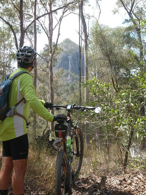
Mount Cooroora
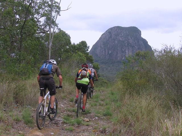
We started at the Sunshine Coast Hinterland town of Pomona and headed west through Tuchekoi National Park towards Cooran. The track took us around Mount Cooroora – a 438 metre high monolith at the centre of the national park.
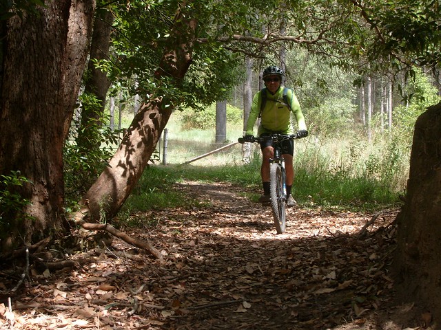
Cooran Trail
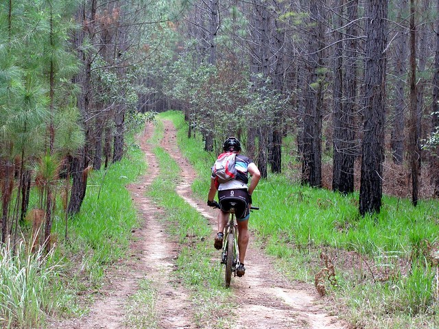
Near Cooran the trail passes through privately owned farmland. This means there are a multitude of gates to open and shut. I think we counted at least 20 on our ride. But the trails through the farmland are pleasant, flowing, leaf-littered shady tracks – a joy to ride on a hot day.
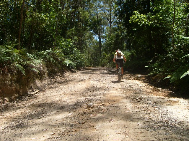
Slow Climb
From Cooran we headed north into Woondum National Park along Tablelands Road. We climbed over 400m in an hour along this road to our high-point in the National Park. It’s a slow climb through lush rainforest, but considering the steepness of the down-hill on the northern side of the park, this is the only way to ride it. There’s no way you could ride up from the north. Many thanks to Paul for giving me this advice before we left!
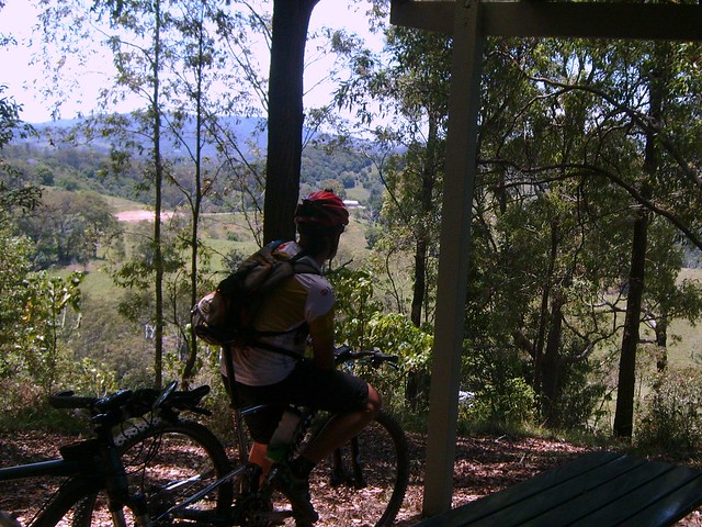
Johnstons Lookout
Although it took us an hour to climb 400m, it only took us seven minutes to descend the steep, narrow track through the rainforest on the northen end of Woondum National Park. I’m so glad I had full suspension on my bike – I travelled pretty quickly down some of those rocky sections and the shock absorbers were working overtime. After the descent we had a short break in the shade at Johnstons Lookout which overlooks some of the farmland to the north-west of the small hamlet of Kin Kin.
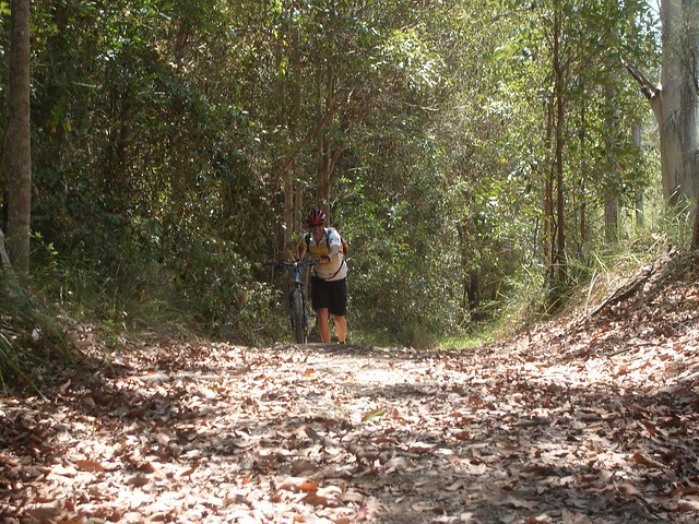
Yet another climb
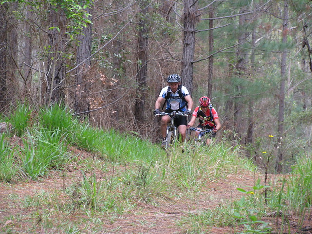
The Noosa Trail Network has a lot of hill climbs like this one along Simpsons Road, east of Kin Kin.
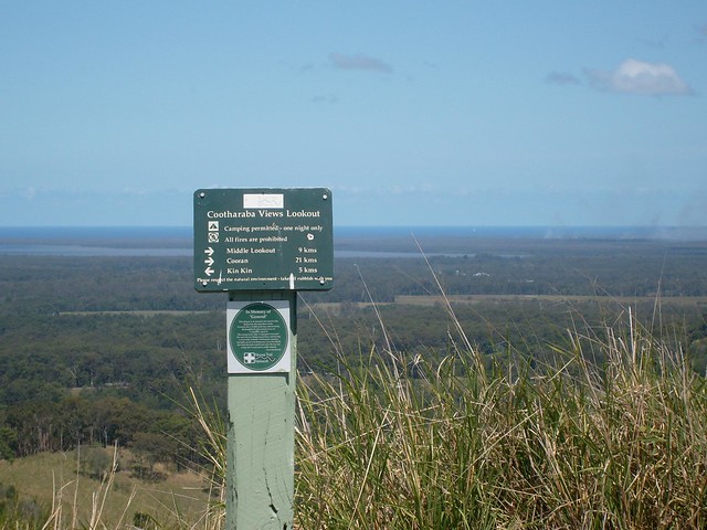
"General" Memorial
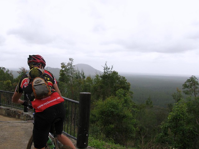
The tough climb up to Cootharaba View Lookout is worth it for the panoramic views. You can see for miles in almost any direction.
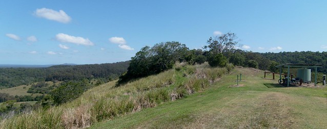
Picnic Shelter - Cootharaba Lookout
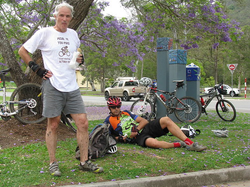
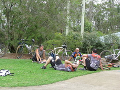
The picnic shelter at the Cootharaba Lookout is a welcome rest-stop after the preceding climb.

This ride was just over 60km, but it took us almost 8 hours including breaks. That should give you an idea of the slow-going and tough climbs. I had one puncture along the way because of some of the sharp rocks, but thankfully the “Stans No-Tubes” sealant in my tyres sealed up the hole quickly, so all I had to do was pump up the tyre again and keep going. If you’re going to try this course, don’t expect to average more than 10km/h, which means you’ll need plenty of water. You can re-fill at Cooran and Kin Kin. There are a lot of rocks in places, so make sure you’re prepared for punctures. And the steep climbs mean you’re going to need plenty of high-energy snacks.

I burned up about 4,300 kcal, and all-up we climbed a total of about 1,550 vertical metres. On the tough-o-metre this one scores 9 out of 10.

Total distance: 62.61 km
Total climbing: 1642 m
Average temperature: NAN
Total time: 07:55:09
Download file: activity_128039931.gpx
More data
We Love Brisbane

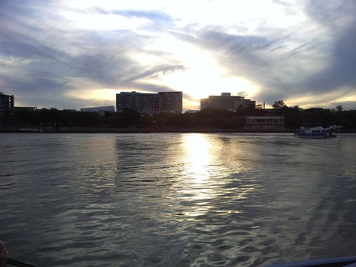
Liz and I took the kids into the city on Sunday for a ride on the City Cat, a stroll around South Bank, and a wander through GOMA. I’ve lived in this wonderful city most of my life, and I think I take it for granted, because I was quite surprised how beautiful it is.
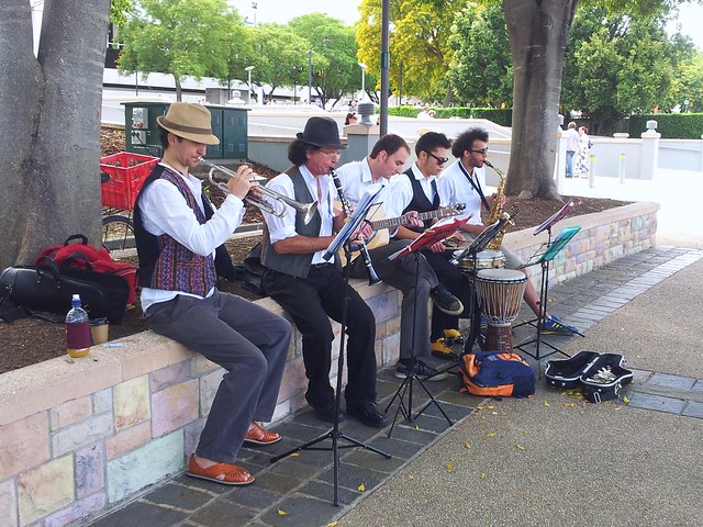
Klezmer Band
As usual, South Bank was abuzz with lots of activity. This Klezmer band got my toes tapping.
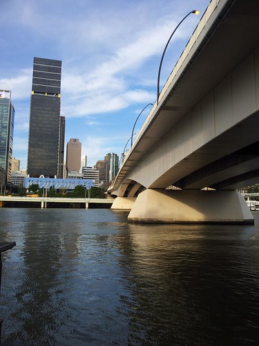
Victoria BridgeBrisbane
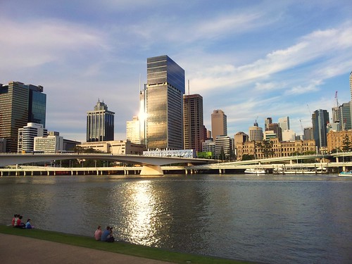
We enjoyed the walk along the riverside, watching the sun bouncing off the buildings. I was really surprised to see a vegetable garden down this end of South Bank. Rather than flowers, someone has planted Cauliflower, Fennel, Coriander and a myriad of other edible plants. It’s great to see.
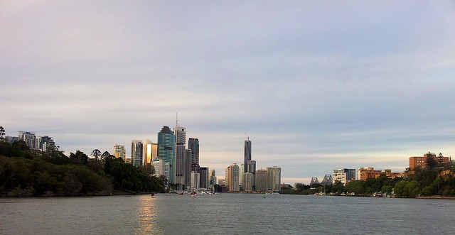
Brisbane from the City Cat
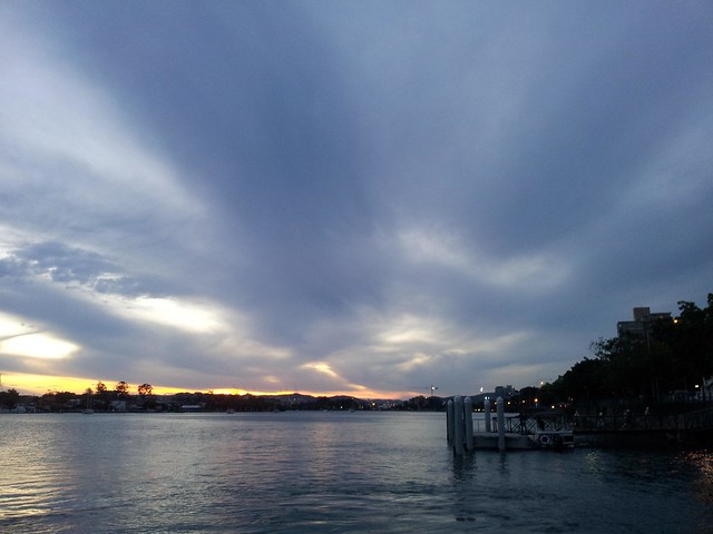
At the end of the day, we hopped back on the City Cat and rode back to Bretts Wharf at Hamilton.
Brisbane from the City CatWindy
Harrison decided he preferred to stand up the front and let the wind blow him around.
Brisbane from the City Cat
A great day. We made it up as we went along, and as luck would have it, everything turned out really well!

Eagles

Sea Eagle - Lake Samsonvale
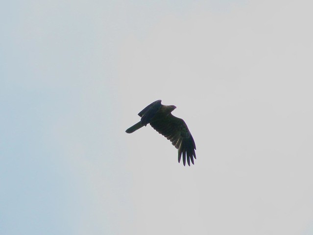
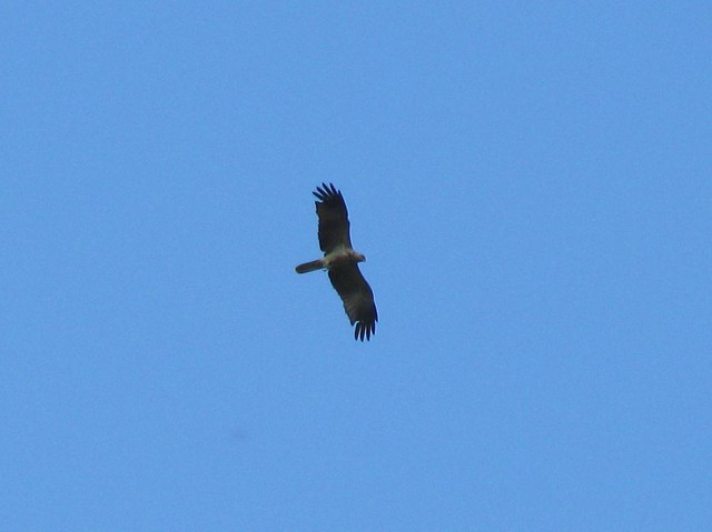
I took Liz’s Canon Powershot camera on my bike ride today in the hope I might spot some wildlife near the dam. As though responding to some cue, these eagles started soaring overhead while I rolled along underneath with my eyes pointing upwards when I should have been watching the track.

Luckily I didn’t hit in obstacles šŸ™‚
Sea Eagle - Lake Samsonvale
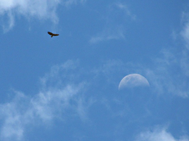
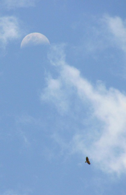
These two photos were a bit of a fluke. I hoped the eagles would drift between me and the moon so I could get both in the shot. By some great stroke of luck, that’s exactly what happened.
Sea Eagle - Lake Samsonvale
They were effortless – hardly any flapping, just slowly circling overhead. They seemed to be enjoying their flight as much as I was enjoying my ride.
Wallaby - Lake Samsonvale
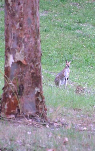
And to top the afternoon off, this shy wallaby stopped long enough for me to get a photo. I kept the tree between me and him, so he couldn’t see me, got the camera ready, stepped sidways into view, and took the shot before he bounded off into the undergrowth.
Clear Mountain and Mount Samson
It’s always a nice ride up by the lake.

Total distance: 31.72 km
Total climbing: 557 m
Average temperature: NAN
Total time: 02:19:48
Download file: activity_125940278.gpx
More data
Mooloolah XC

Forest Trail
Over the last couple of months I’ve been planning a cross-country ride I could bring some friends on. Today, those plans came to fruition.

Like our previous group ride, the idea was to start at a railway station, ride as far as we could, then catch the train back home.

Pre-ride greetingsPre-ride greetingsPre-ride greetings
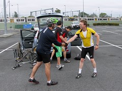
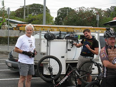
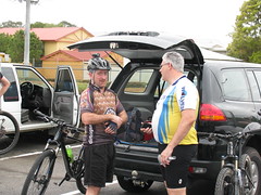
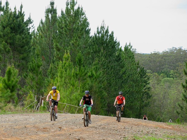
Today we started at Caboolture Railway Station. The only problem was that the railway station has two car parks. I was so busy saying “G’day” to everyone that I forgot to check if anyone had gone to the wrong car park. As Murphy’s Law would have it, after we were ten minutes into the ride I got a call from some worried riders wondering where we were. Luckily I was able to direct them to a meeting point a couple of km up the road, and all nineteen of us continued the ride together through the pine forests.
Hill Climb
Hill Climb
The first section of our ride passed through the Beerburrum East State Forest. This was mostly flat, but was often sandy and muddy. Riding through sand can tire you out pretty quickly, so by the time we started climbing a few hills, we started to feel it.
Bike FuelBike Fuel
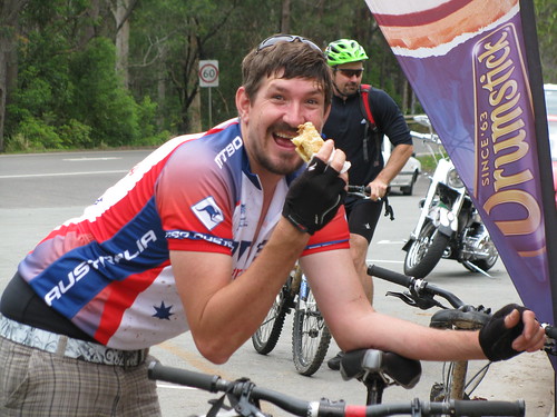
Luckily our route passed through several towns so there was plenty of opportunity to “fuel up” at local shops šŸ™‚
Bike vs Mountain
The second section of our ride passed through the Glasshouse Mountains. They looked great today. Even though it was overcast, there was no rain, and the visibility was perfect.
MTB Pwns 4x4
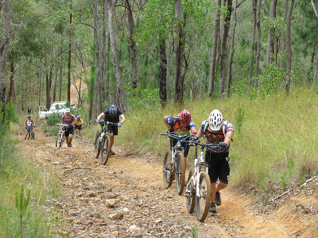
There are some tough hills in the Glasshouse Mountains. This one was so steep it stopped a 4WD. We couldn’t ride it either, but at least we were able to push our bikes up the hill.
Chilling at the lookoutChilling at the lookoutChilling at the lookout
After the steep climb to the lookout, we all had a break and enjoyed the view before some more punishing descents and climbs near Mount Beerwah.
Streek Road, Glasshouse Mountains
Ouch!
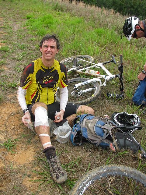
Yes – I had a crash. Porfiri Road is steep, and my seat got stuck in my bike pants, which kept my body (and head) too far forward. I came off, and scraped my face and knee along the rocks. Thankfully I didn’t suffer any major damage. “Thank you” to Andrew and Adam who were really helpful getting me patched back up. It’s much safter riding in a bunch!
Porfiri Road, Glasshouse Mountains
As the day wore on, I became more aware of our deadline – we had to get to Mooloolah Railway Station by 3pm to catch the train. I pushed the pace in the third leg of the ride through the state forest at Beerwah. This made the going a bit too difficult for some of the riders who bailed at Landsborough Railway Station, allowing the rest of us to finish at Mooloolah.
And then there were seven
And so although we started out with nineteen riders (increasing to twenty, when another rider joined us at Beerburrum), by the time we got to the train, there were only seven of us.

All up 78km in just over 5 hours with about 900m of vertical ascent, and about 4,300 kcal burned. I’d give this 9.5 out of 10 on the tough-o-meter. The same hills which are easy on shorter rides become tougher on longer rides – especially when you have to push the pace to meet a deadline.

Despite the difficulty, riding with a great bunch of friends made it a fantastic experience.

Total distance: 77.82 km
Total climbing: 1027 m
Average temperature: NAN
Total time: 07:25:16
Download file: activity_124902091.gpx
More data
Riding to Peachester

Forest Trail
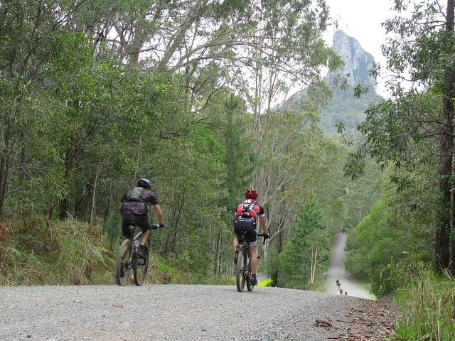
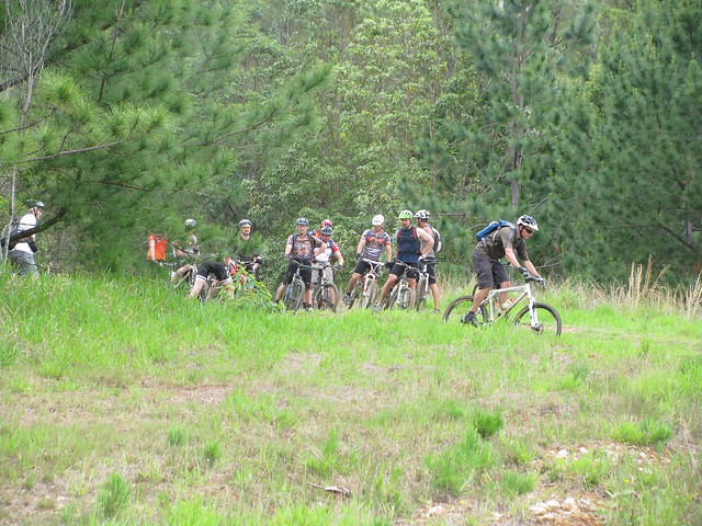
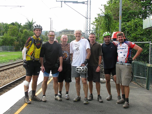
Six of us left Beerburrum this morning for a ride up to Peachester through some of the many forest trails that meander through the Glasshouse Mountains.
Enjoying the View
We tried to keep to the dirt where possible, and to narrow tracks where they existsed. It involved some steep climbs, especially leading up to the lookout, and one or two gnarly descents down some rocky, muddy, technical downhills.
Lookout
Although it was overcast and rained a bit, the cooler temps made the ride a lot more comfortable, and the dozens of muddy puddles we had to swerve around just added to the fun.
Climbing the Hill
Thanks to all the guys who turned up for the ride. I needed some feedback about part of the route we’re taking next week on our XC ride to Mooloolah, and I received some excellent advice: The gnarly cliff-like drop-offs that lead down to Palmer Road are not for the inexperienced, so next week end we’ll ride down Old Peachester Road instead.

All up 45km with about 940m of vertical ascent, and 3200 kcal of energy. It was harder because of the mud, so tough-o-meter score for this ride is 8 out of 10. In the dry it would more likely be 7 out of 10. It’s well worth the ride.

Total distance: 45.3 km
Total climbing: 1003 m
Average temperature: NAN
Total time: 04:06:58
Download file: activity_123318226.gpx
More data
The Road Less Travelled

The Road Less Travelled
There are lots of quiet trails like this around Beerburrum.

I rode the bike for a couple of hours through the forest in light rain, without seeing another soul – except for a raucous Yellow-Tailed Black Cockatoo.

It was muddy in places, but perfect.

Total distance: 44.38 km
Total climbing: 366 m
Average temperature: NAN
Total time: 02:59:31
Download file: activity_121170377.gpx
More data
Peachester

I’m planning a cross country ride north through the Peachester area and wanted to check out a few trails in the area before that ride.

Glasshouse Mountains
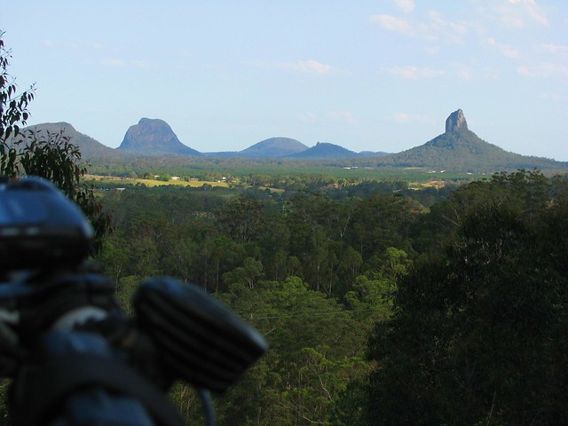
Peachester is perched in the forested foothills of the Blackall Ranges with great views south to the Glasshouse Mountains.

Red-Tailed Black Cockatoo
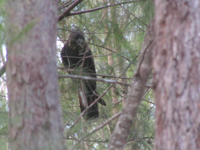
Last time I was here I wound up in the middle of a bunch of Yellow-Tailed Black Cockatoos all happily squawking to each other and munching on She-Oak bark, but today I was delighted to see this rare Red-Tailed Cockatoo, also hiding up in the She-Oaks.

Goanna
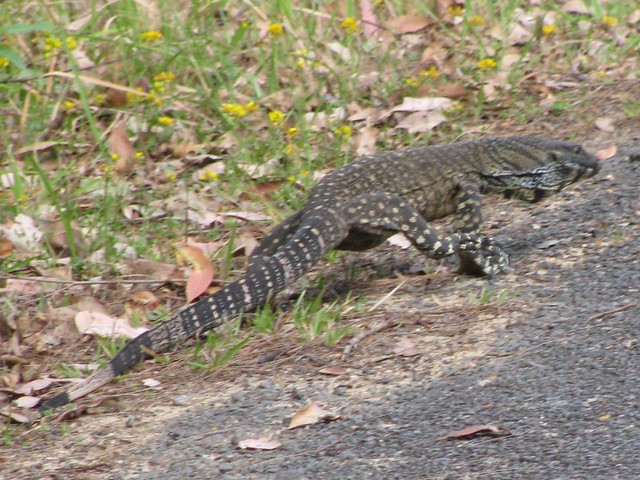
I almost ran over this two metre long Lace Monitor (or Goanna) on my way out of the forest. I spotted a couple today. As I approached, they just slowly waddled out of the way, looking for a tree to climb.

Crikey!
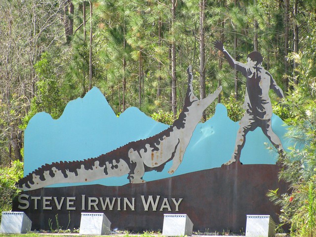
Of course a two-metre goanna seems tiny compared to the huge reptiles that Crocodile Hunter, Steve Irwin, used to wrestle with. This beautiful memorial to him at the start of “Steve Irwin Way” always reminds me about Steve’s passion and energy for those huge reptiles. Passion and energy, in the right place they’re magical things!

If you’re reading this, and you’re free on the 29th of October 2011, and would like a fun 70km cross-country ride through some of this country, why not drop me a line or sign up for the ride here.

Total distance: 19.12 km
Total climbing: 390 m
Average temperature: NAN
Total time: 01:32:38
Download file: activity_120621483.gpx
More data
Wamuran

There’s a crazy loop from Mount Mee that heads down a steep dirt track called Williams Road to Wamuran, then winds through the course of a former rail track, then heads back up the mountain via another rocky steep track called McLeods Lane. I’ve done it before, but today, Tim and I rode it together.
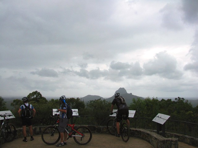
Glasshouse Mountains
The track down is steep. I was leaning so far back I was hanging over the back of my saddle, and yet I still managed to stall and go flying over the handlebars.


Tim decided a more challenging method – his rear brakes started jamming on, so in order to finish the ride, he had to remove his rear brakes. This meant he only had front brakes. Anyone who has ridden down steep dirt tracks will tell you that you need both sets of brakes to make it down safely.
Look Ma, No Brakes!
But somehow the guardian angels of the foolhardy protected Tim from harm, and he made it down safely – with a bit of extra wear and tear on the soles of his shoes.

Note to self:
1. I will carry spare brake pads with me, and will learn how to replace them.
2. I will not try to scramble up McLeods Lane again – it is too steep and rocky.

Sunset - Mt Mee

Total distance: 24.81 km
Total climbing: 630 m
Average temperature: NAN
Total time: 03:32:08
Download file: activity_119639018.gpx
More data