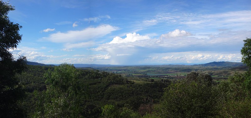
If you head south from Gatton towards the Queensland border, you’ll eventually run into an imposing wall of mountains. The Great Dividing Range is difficult to cross here, except for a couple of hidden valleys. Today we visited Black Duck Creek and explored one of these secret pockets
About a year ago we rode through here from Goomburra National Park, over the range to Mount Sylvia via the East Haldon valley. It was a tough ride, with a treacherous boulder-strewn descent. Since then, Eric has wondered if there was a more suitable way down the mountain.
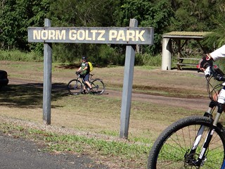
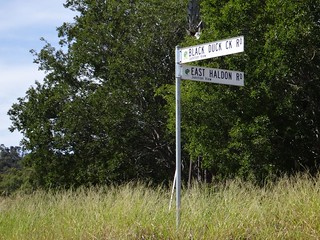
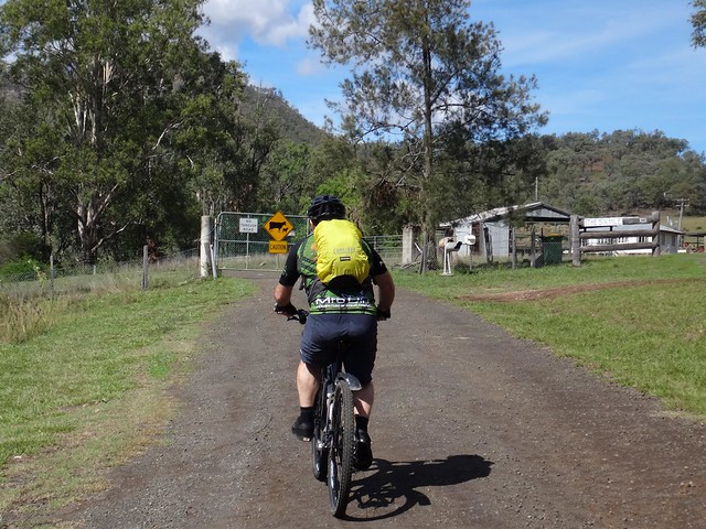
We started at Junction View – where the East Haldon and Black Duck Valleys meet.
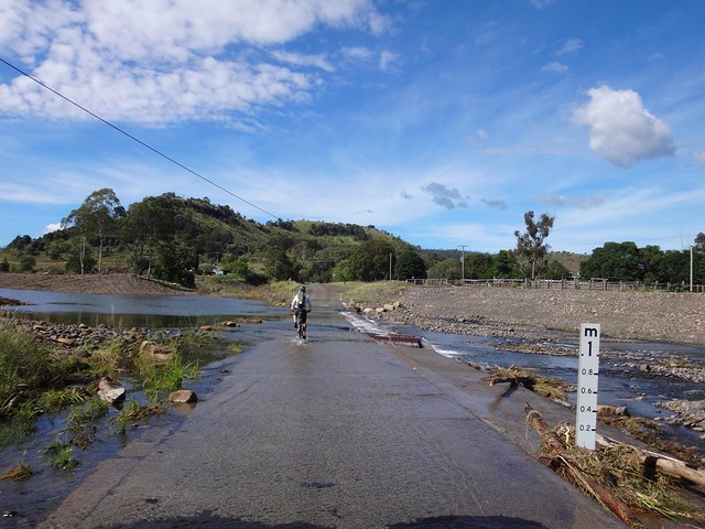
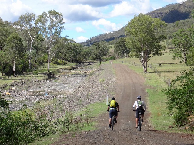
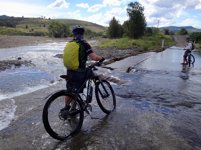
Until last week, this place hadn’t seen a drop of rain for months. The thirsty creek beds were filled with dry boulders and dry, brown grass. The recent downpour has changed that. Watercourses are flowing again, causeways are flooded, paddocks are green, and farmers are smiling optimistically.
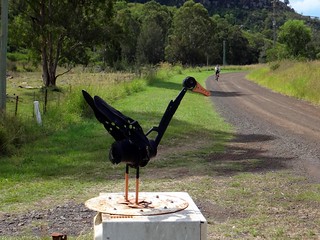
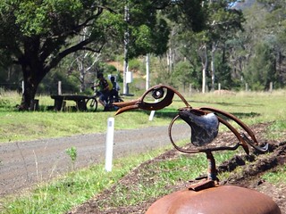
Artwork on the local letterboxes left us in no doubt which valley we were in, although some of the black duck “feathers” are turning a rusty shade of brown. Perhaps the weather has something to do with that?
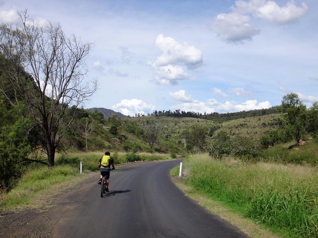
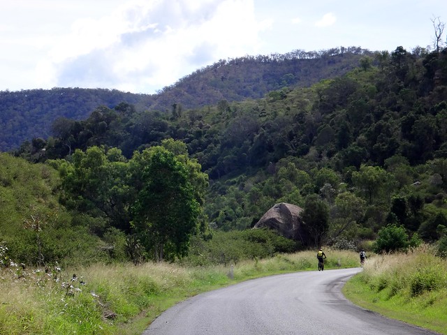
Although we harldy noticed it, we slowly gained altitude as followed the road up the valley.
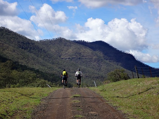
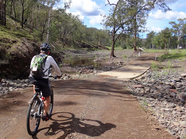
The peaks grew higher on either side, the valley narrowed, and the road devolved into a track twisting over numerous causeways.
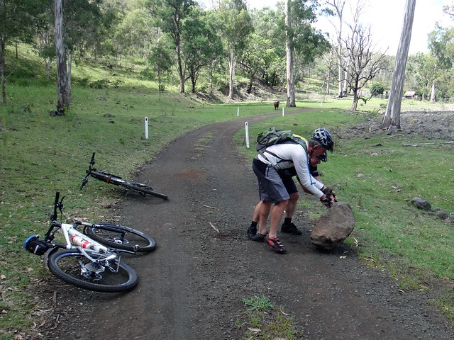
As grateful guests we thought it would be a good idea to remove a fallen rock from the middle of the road… I offered moral support while Eric and Darb did the hard work.
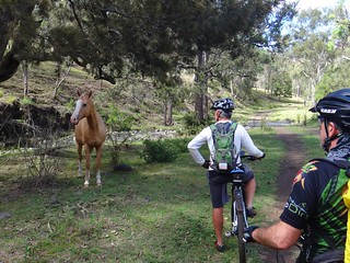
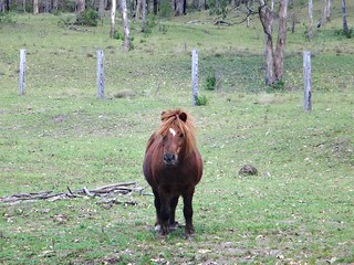
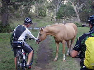
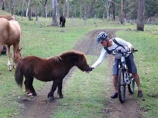
We said “G’day” to a couple of friendly horses too.
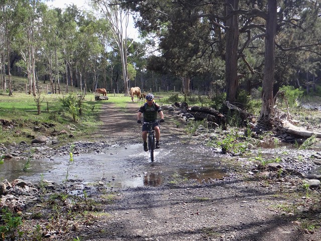
This place was idyllic: quiet streams, contented livestock, rolling hills.
Someone said, “Gee we picked the right spot to ride today, didn’t we?”
We all agreed.
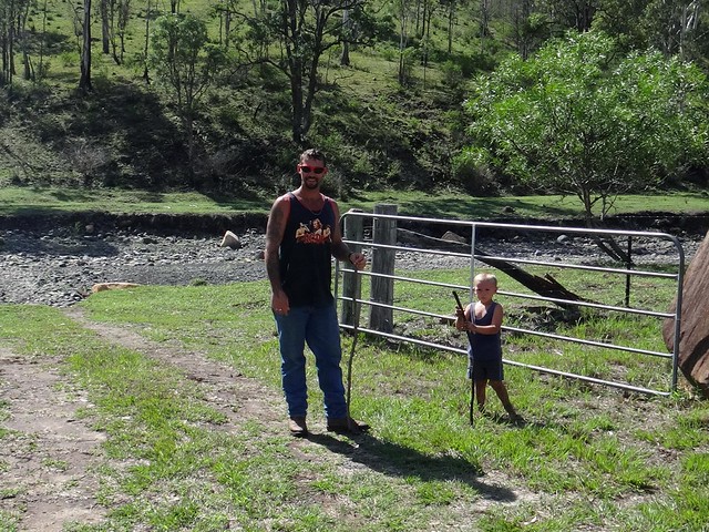
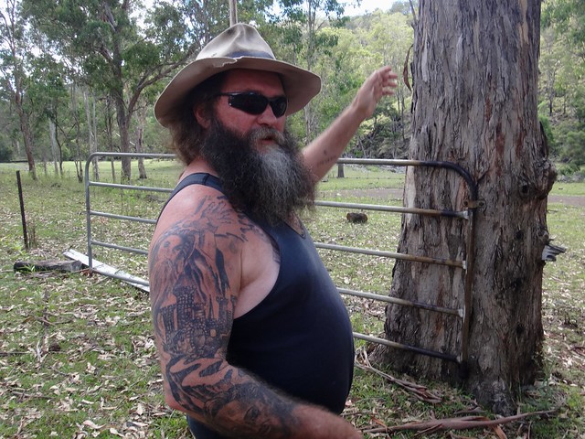
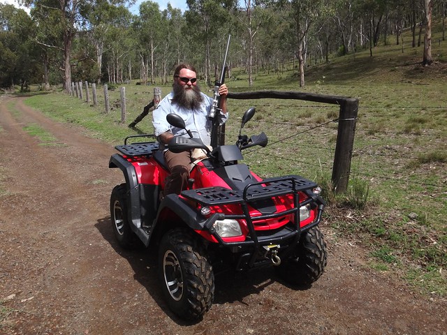
“You must be Kevin”, I called out to a giant of a man who strode towards us down the driveway from his “castle”.
“That depends on who wants to know”, he called back.
“Bushy” owns the last property at the end of the Black Duck Creek valley. His 647 acre paradise backs on to the national park.
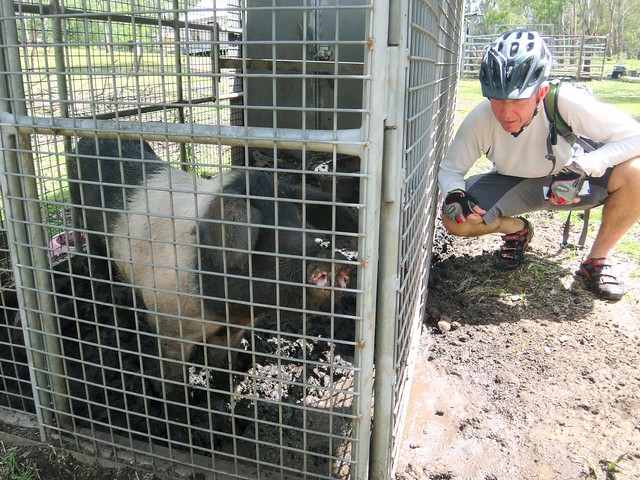
“That’s Ham-and-Bacon”, Bushy said as he proudly introduced us to his pig.
“Faint heart never kissed a pig”, Eric replied. Although he didn’t actually kiss the pig, we did say “Hello”, wondering how it got its name, and what culinary adventures lay ahead for this impressive beast.
Bushy gave us some valuable advice about the track ahead and the safest way to proceed.
“You’s are mad”, he commented.
We couldn’t disagree.
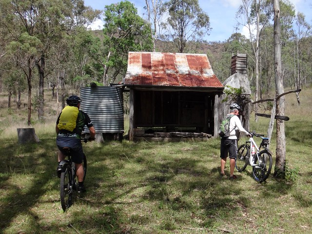
As we crossed into the National Park we came across this spectacular old hut. I wondered what things had transpired during the decades it had stood.
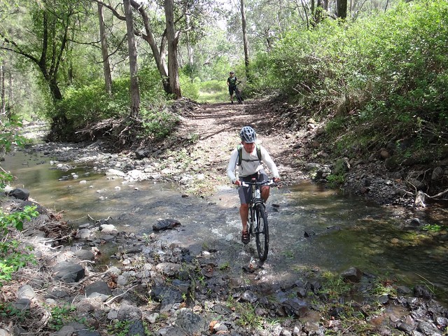
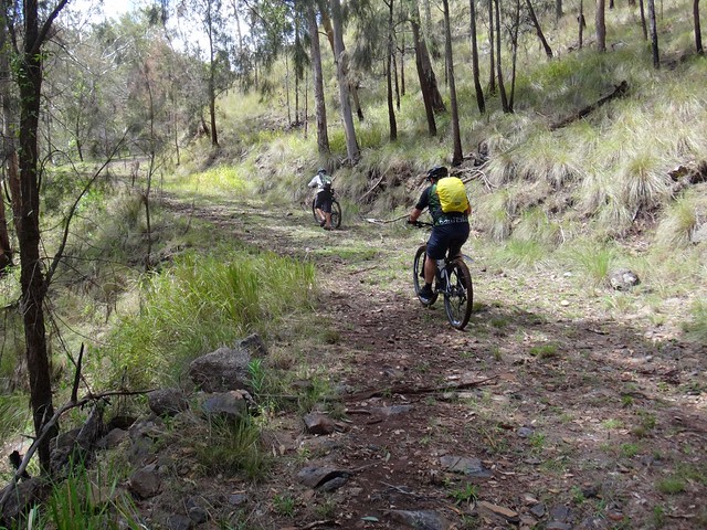
From here the track (it was no longer a road) grew rougher and steeper. Perfect for mountain biking!
Eric started pushing.
Darb kept pedalling.
I marvelled.
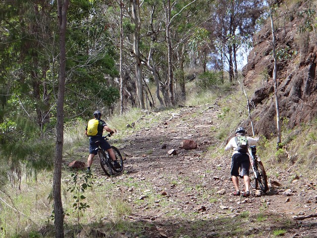
Eventually it becamse too steep to ride. Eric and I ditched the bikes and decided to walk, while Darb continued to push his bike.
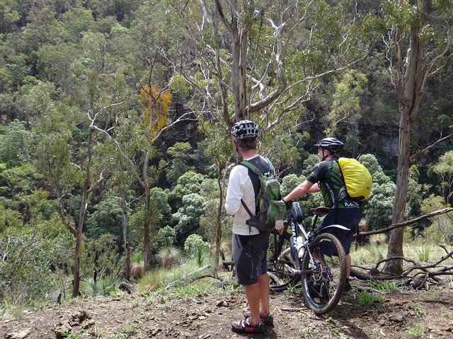
We stopped at about 720 metres of elevation. This was as far as we wanted to go today. We had valuable information about the track, and agreed this would be an enjoyable way to come back from Goomburra National Park – much more pleasant than the East Haldon valley.
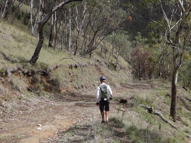
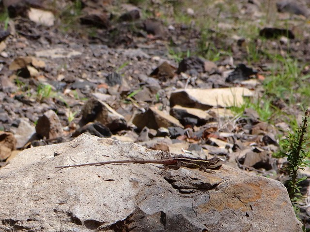
Mountain bikers call it “Hike-a-bike” When tracks get too steep, and you have to push. So I suppose these tracks should be called “Hike-without-bike” 🙂
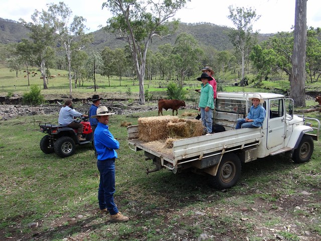
On the way back we chated a bit more with Bushy and his neighbors. Their dogs were working the cattle. Trevor was calling out to the dogs. It was impressive to watch.
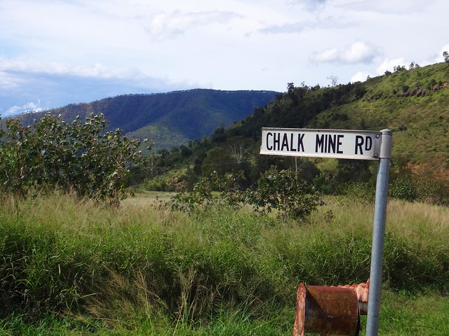
Halfway back we decided to take a detour up an interesting looking side-valley. “Chalk Mine Road” had an interesting ring to it – so we had a look…
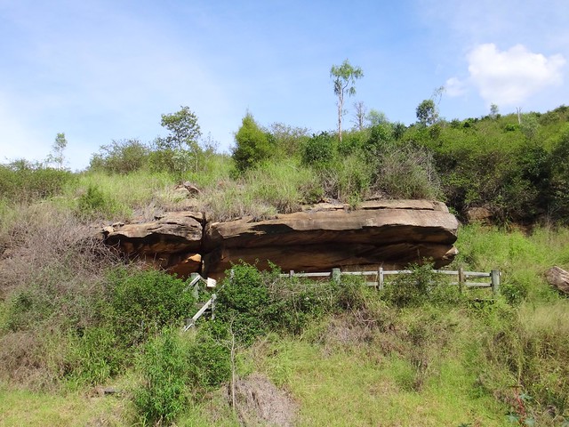
The boulder strewn valley leads to an old Diatomite mine. Diatomite is a chalky rock formed from the calcium remnants of small sea creatures. Millions of years ago this land was under the sea. The rocks are soft, and easily marked…
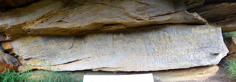
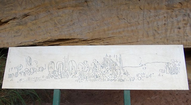
Towards the top of the road there’s a rock overhang with some ancient Aboriginal rock art.
We were gobsmacked.
This was “Chullawong” (also known as “Chalawong”) – a sacred site of a Yugarapul people.
For thousands of years Aborigines had travelled this valley en-route from the plains of the Darling Downs northwards to the Bunya Mountains in the north. The relatively easy slopes of the Black Duck Creek Valley had plenty of water and food. It would have been the most logical choice for this epic trip which stretched northwards through other significant sites such as Gummingurru and Maidenwell.
We’ve ridden much of that route. Completing it on foot would have been an impressive feat.
As we rolled back towards home, I think we were all amazed at our good fortune. We’d seen some amazing things today.
“We can go for a swim if you like”, Eric suggested.
In the end we decided to have a quick look at the top of a nearby road. We’d like to bring some friends back here soon for a group ride, and wanted to gather a bit more information…
The views at the top of Paradise Road are stunning 🙂
We’re definitely coming back!
We rode a total of 51km in just over 5 hours (including breaks). It was msotly downhil once we reached the half-way point, so this would be a very easy section as part of a north-bound ride.
I burned a total of about 2,200 kcal as we climbed about 640m in vertical ascent.
I’ll rate this ride 7 out of 10 on the tough-o-meter.
Thanks Eric and Darb for a great ride.
Thanks Bushy Campbell, John Burns, Barney Storey and Warren Goltz for your friendly hospitality and valuable advice. You live in a wonderful part of the world.
UPDATE:
Here’s Darb’s video of our ride.
Black Duck Creek 2014-03-29 from Darb Ryan on Vimeo.
Total climbing: 1306 m
Average temperature: 31.8
Total time: 05:06:50
More data


