Hays Inlet is a swampy wetland area on the south-west of the Redcliffe Peninsula. Today we decided to see how our bikes would cope with its soft mudflats.

This morning was unusual. Rather than driving out into the mountains, we started our ride from my house in Lawnton, following bike paths through the local cemetery, and along the river.
This meant we started earlier, and hopefully we’d get back sooner too.
On the other side of the North Pine river we rode through some vacant land where the old Paper Mill once stood. Most of this land is being redeveloped for a new university, but there are one or two quiet spots far away from all the construction that are fun to ride.
A couple of the artificial lakes are used by sporting clubs for swimming and boat racing. Today we had the place to ourselves.
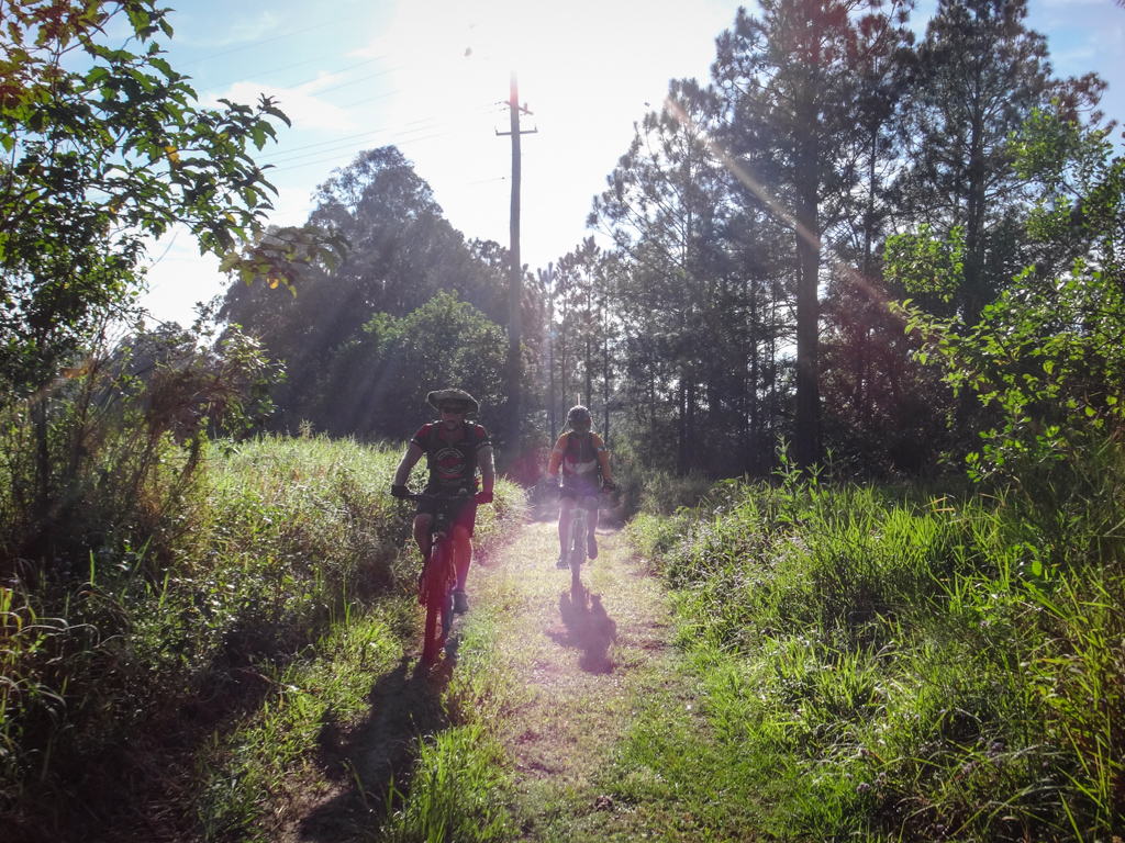
Dew still clung to the grass in the cool morning air. These were perfect conditions for riding.

Eventually we joined the bike-way and headed towards the ocean.
“It’s nice of them to give us a grass strip for mountain bikes,” Jason joked.
He’s competing in a race in a couple of weeks, and this effortless coasting along bike paths was the exact opposite of what he was hoping for today. He kindly persevered with the unusually easy ride, and chose grass strips over the pavement to give his legs something to do.
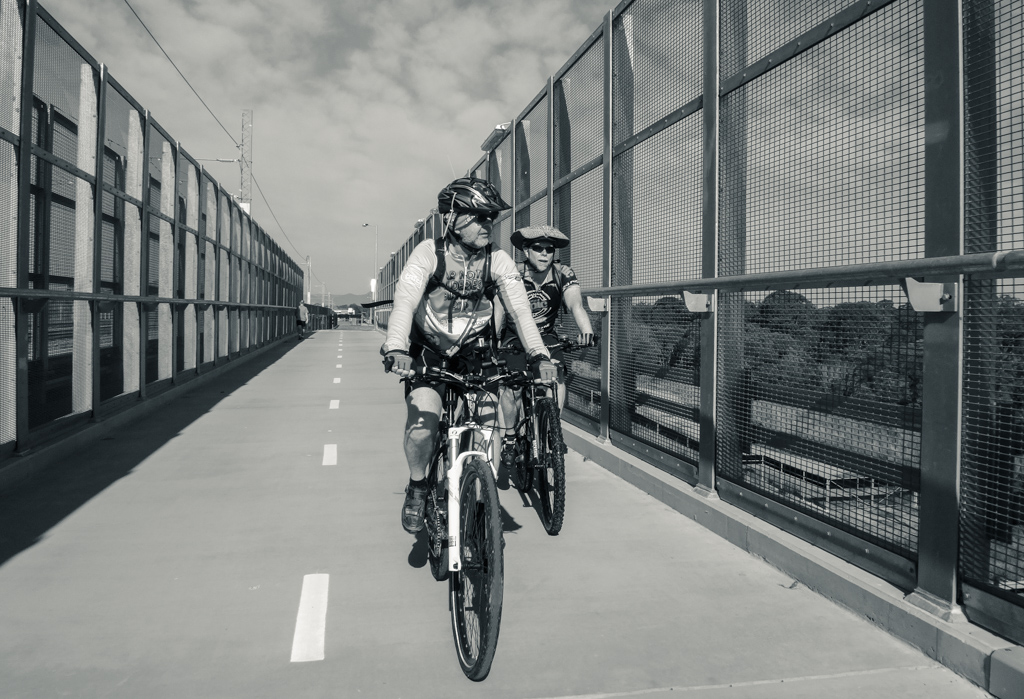
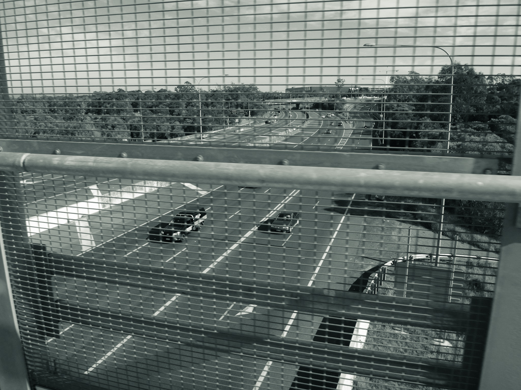
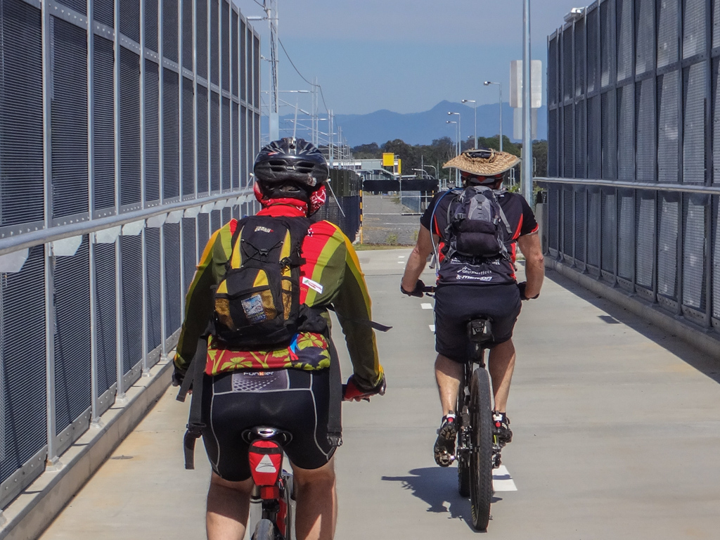
The Moreton Bay Cycleway runs adjacent to the new railway line between Petrie and Redcliffe. We followed it eastwards over the highway…
…and past several brand-new railway stations.
But mountain bikes and their riders are built for dirt, not pavement. Our moods lifted when after we left the bike path, followed a culvert under the railway, and entered Hays Inlet.
Swamps are usually muddy places. Although we dodged a few puddles, the terrain was smooth and firm, baked dry by weeks of sunny weather.
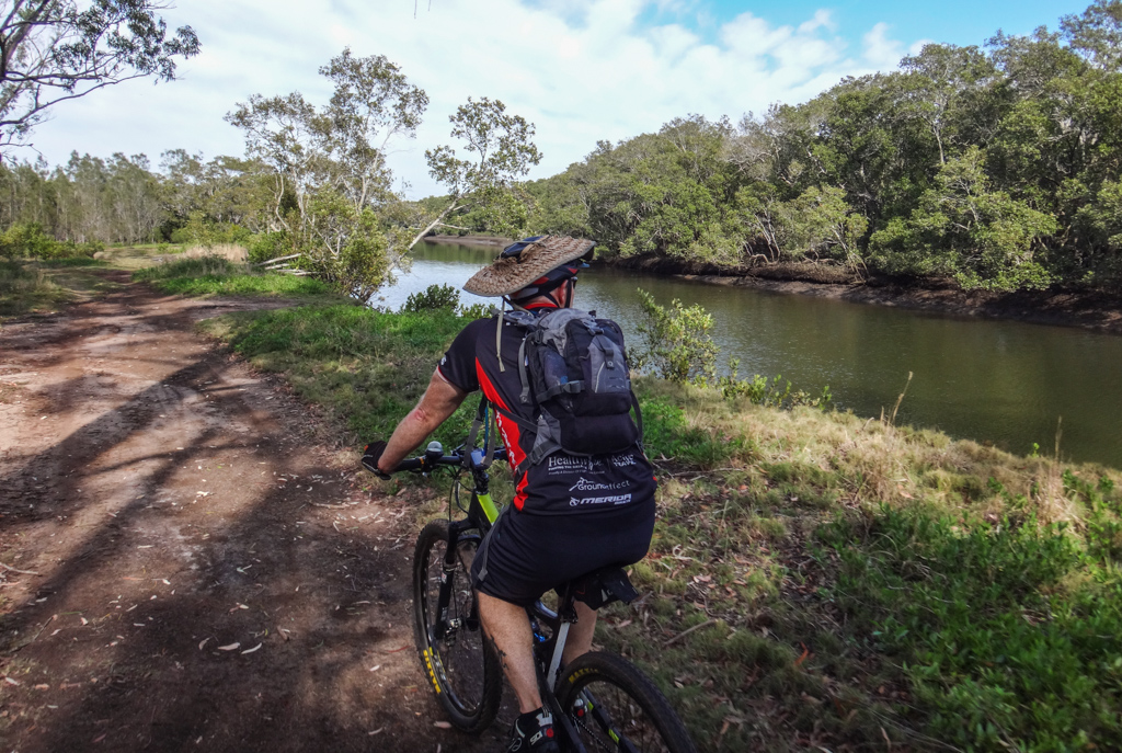
Hays inlet isn’t just a swamp. Leaving the mud flats we followed some meandering trails through bushland towards the creek.
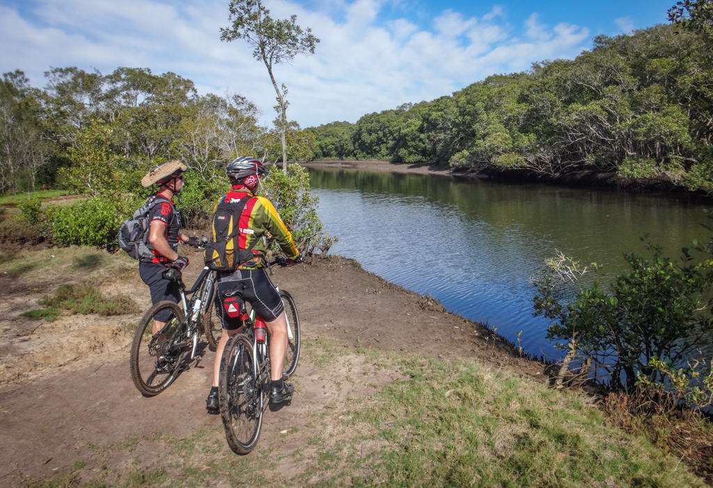
Saltwater Creek is one of the main water sources of the inlet. The mangroves that line its banks are an important habitat for fish and migratory birds.
Russel has paddled through this area before in a kayak. His eyes lit up with recognition when we encountered a familiar picnic spot.
“We paddled up that creek,” he said, “but when the tide started to run out we had to be quick to make sure we didn’t get stuck in the mud”
An old shopping trolley sat rusting in the otherwise clean water. We wondered if someone had brought it here, or if it had been washed downstream by floods.
After a short break we left the creek banks and rode into the vast salt marsh.
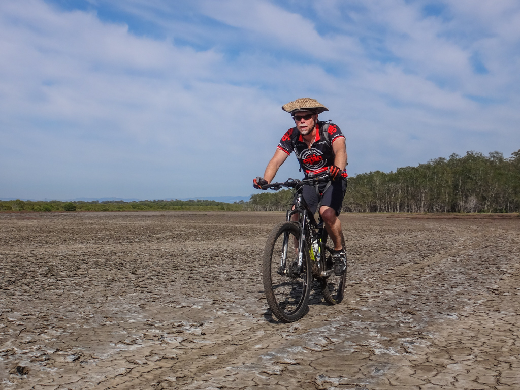
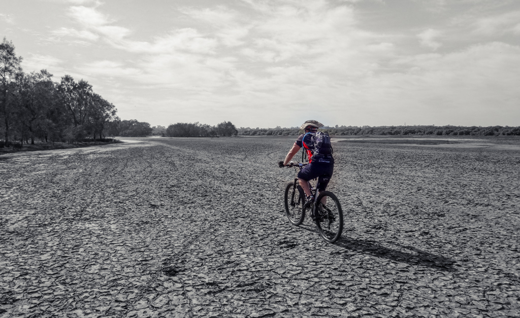
A wide pavement of cracked salty mud stretched in all directions, our tyres crunched over the brittle flakes.
As we scanned the horizon we saw hardly any signs of human activity, even though we were quite close to suburbia. This strange place could have been any where, and at any time.
It was surprising to feel so remote in the middle of such a built-up area.
Although the terrain was soft in parts, Russel’s slick commuter tyres handled the mud with ease.
In the back of my mind I thought that this wouldn’t be a happy place to visit after rain or during a very high tide.
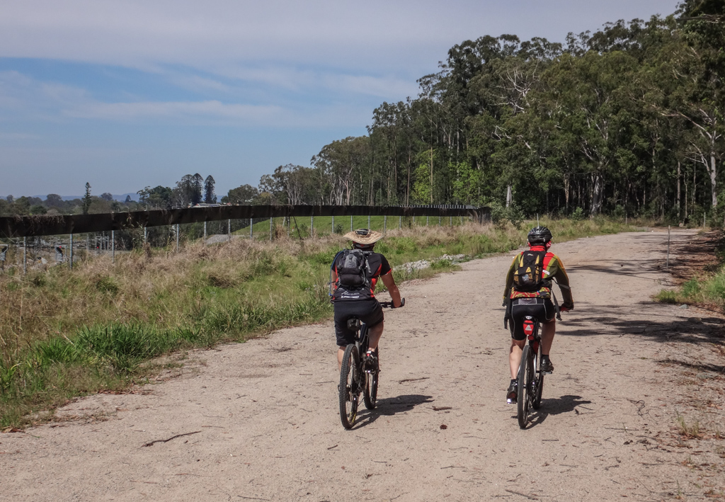
The salt marsh ran out as we reluctantly followed a gravel road back to civilization.
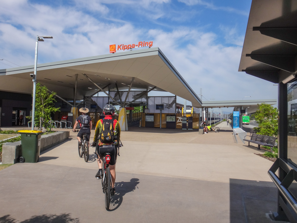
Kippa-Ring is the terminus of this branch of the railway line.
Its clean new lines looked like something out of a promotional “artists concept” brochure.
We rejoined the bikeway and headed west on the return leg of our trip.
In the distance, the D’Aguilar Range stood on the horizon with the unmistakable peak of Mount Samson pointing skyward.
Although we were in the midst of a bustling city, the wilderness wasn’t far away.
“Why don’t they build a trail from Petrie to Dayboro?” I asked Russel, musing aloud about how easy it would be to get to the mountains from here.
“There already is one.” Russel smirked. He was referring to some “unofficial” lakeside tracks we had previously ridden westwards. His comments reminded me that with imagination, creativity and a touch of audacity a mountain bike will take you most places, even when there is no official trail.
At Kallangur we left the bike path and rode through some bushland on the other side of the railway line.
In the distance I could just make out the old Bunya Pines on the hill top where Tom Petrie’s old house “Murrumba” once stood. Although he died over a century ago, there’s a good chance he planted those trees himself. I wonder what he’d think about all this development?
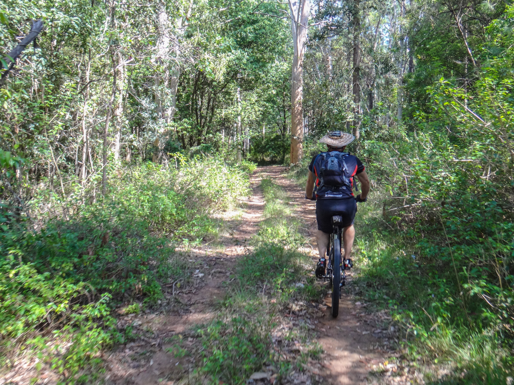
At Yebri Creek we left the railway line and followed some tyre tracks through the bush.
The pleasantly shaded track eventually emerged at Ruth Whitfield Park.
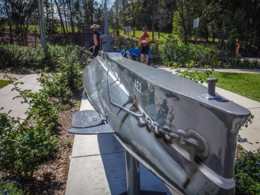
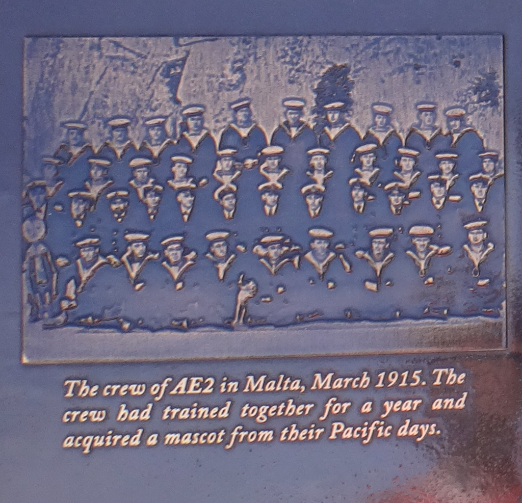
The park boasts a great looking model of a First World War submarine, the “AE2”, which was used by the Australian Navy at Gallipoli in 1915.
This early sub sailed over 50,000 kilometres during its 14 month life, ran amok in the Dardanelles, ran aground twice, survived a minefield, and was eventually sunk.
We continued through some local parks and bushland towards Lake Kurwongbah.
There are a few single-tracks by the shoreline. Jason gave us a quick lesson in how to ride over logs.
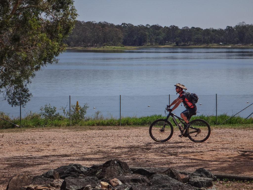
Lake Kurwongbah was built by damming Sideling Creek in the 1950’s to supply water for the Paper Mill. The Paper Mill is gone, but the lake is still here for recreational use by the community.
As we rode several hundred metres along the dam wall, the artificial lake spread out on our right while the ground dropped away sharply on our left. The rowing club had packed up for the day – sheltering from the sun under a row of gazebos on the shore.
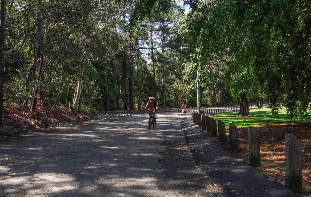
We returned to our starting point via Sweeney Reserve, shaded by dozens of Camphor Laurel trees. Decades ago the old Bruce Highway ran through this park. The raised mound beside the driveway is one of the few remaining signs of the old highway. These days it’s a quiet park, with little traffic except for park goers.
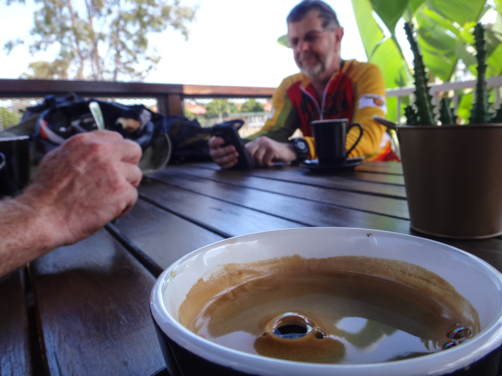
After such a short ride, it was too early for lunch so we had a quick coffee at the local cafe.
Total climbing: 550 m
Average temperature: 24.2
Total time: 04:14:44
More data
We rode about 50km in about 4 hours including breaks. During that time I burned about 1,500kcal and we climbed about 350 metres in elevation.
This was an easy ride. Many of our regular riding buddies were unavailable, and the rest of us had limited time, which is why we elected to keep it short and close to home.
I’ll rate this one 4 out of 10 on the tough-o-meter. It’s a lazy ride, do-able by anyone who is able to sit on a bike seat and turn the pedals for a few hours. Avoid Hays Inlet after rain, or you’re likely to get bogged.
Thanks Russel and Jason for spending the morning with me, and thanks especially to Jason who gave up valuable training time for such a low-intensity ride.
















Hi Neil,
I really haven’t cycled in that part of Brisbane before. When I finally get around to changing bikes (my road bike is just not suited to my anatomy and is not very versatile) I must check out these spots. I’ve noticed that there are cycling paths along the foreshore of many of the Redcliffe suburbs (Sandgate, Brighton etc) I’m in the Ipswich area. Your blog really is a terrific resource for cyclists in Brisbane and beyond. Thanks for sharing another informative and interesting post. 🙂
Thanks for your kind words, Jane. Have you had a look at the maps?
1. The “Pins on the map: http://nbe.me/4061
2. The “Spiderweb” http://nbe.me/3635
I try to keep them up to date and the give you a visual idea of places and info about how you can join them up.
BTW – If you’re in Ipswich you should check out Sapling Pocket – Have you been there?