In 1893 Brisbane experienced its biggest flood in recorded history. In order to get a message to residents of the impending danger, a heroic rider named Billy Mateer rode his horse over the D’Aguilar Range from Caboonbah (near present-day Toogoolawah) to North Pine (now called Petrie). He did it in one day, crossing flooded creeks and following rough bush tracks.
The purpose of this two-day ride was to honor Billy, and to visit some of the country he traversed.
Day 1.
Apart from the weather and modern infrastructure, the biggest difference between our ride and Billy’s was that we’d be doing it in reverse. He started at Caboonbah and rode east. We started at Petrie and rode west.
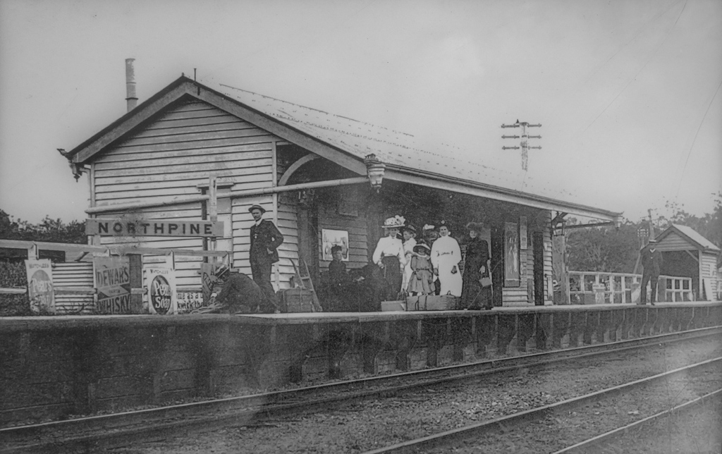
(North Pine Railway Station, early 1900’s, Jeanette Edwards. Pine Rivers Library Service P2000)
Of course, the railway station was different too. It was called “North Pine” in those days…
… and instead of phones, emails and radios, they had telegraph. Messages would be translated into a Morse Code – series of dots and dashes, then transmitted over the wires.
Henry Somerset, owner of Caboonbah Station, wanted to send a warning message by telegraph to the Brisbane Courier newspaper to warn people of the impending flood. The nearest telegraph station was in Esk, but the wires had been knocked down by storms, so he needed a reliable messenger – Billy – to ride over the range to the telegraph station at North Pine, and get the message through.
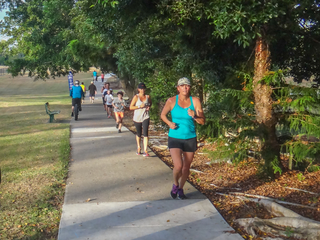
Today dozens of joggers followed the river along smooth paths through pleasantly manicured parks.
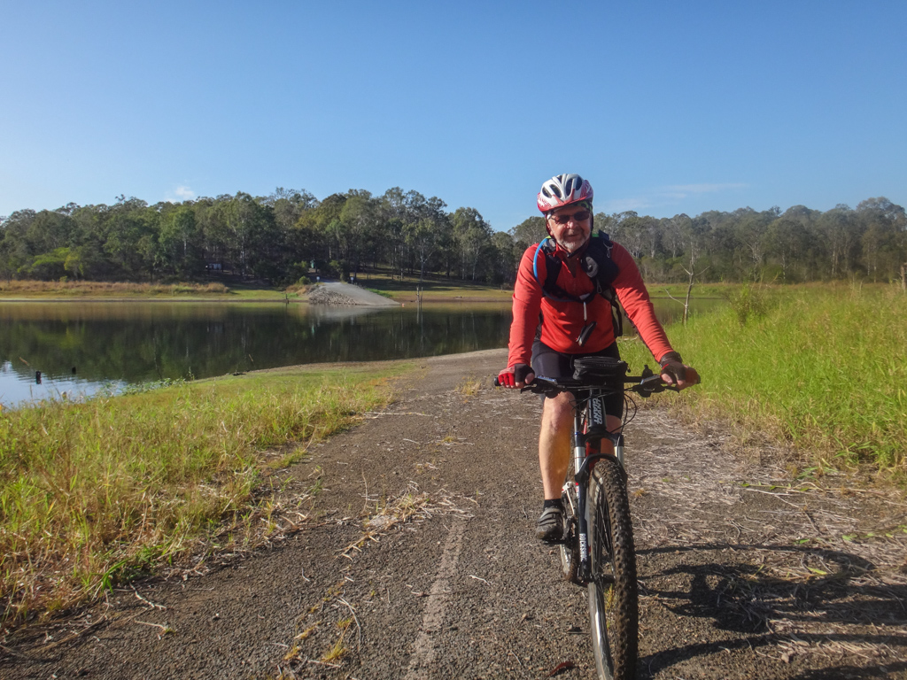
Darb, Russel and I started our trip where Billy finished his: following the North Pine River west from Petrie towards Dayboro. Over a century ago, when most of this land was covered in thick hoop pine scrub, the easiest way to find your way from the D’Aguilar Range to Petrie would be to follow the North Pine River. This is probably what Billy would have done.
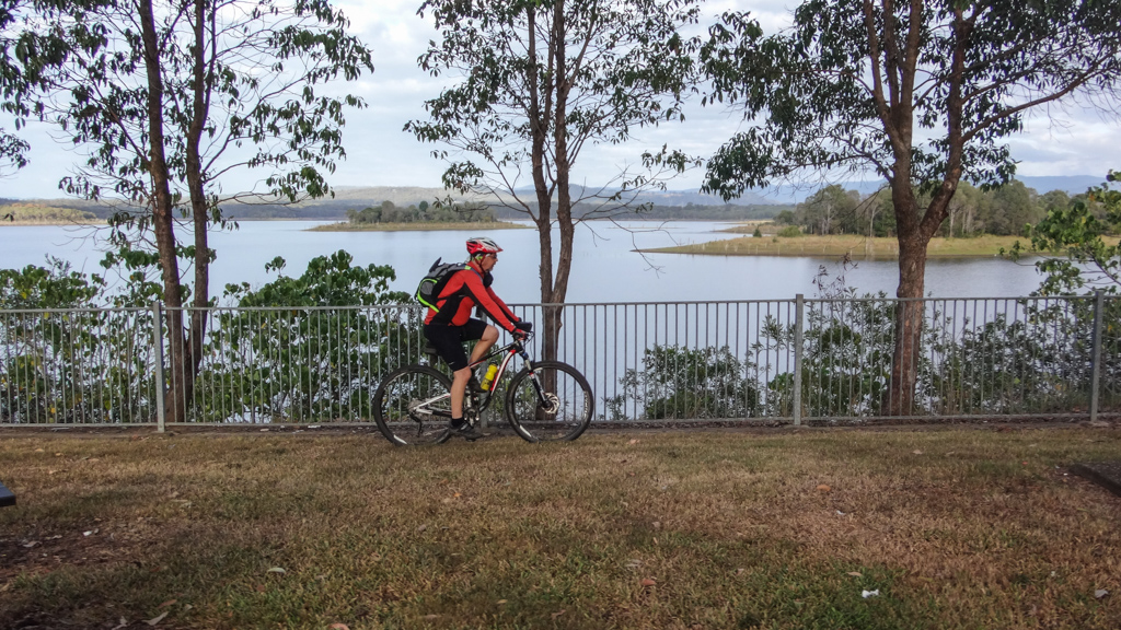
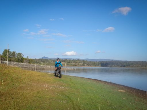
The river has since been dammed. A huge lake covers most of the land which originally surrounded the river, so we took a bit of poetic license and followed the lake shoreline, pretending it was the river.
After a few kilometres we had to leave the shoreline for a while and follow hilly tracks under some power lines.
We followed another strange path through the bush which looked like an old driveway, complete with a pair of concrete car tracks.
The driveway ended at the foundations of a long-gone house, complete with tiled bathroom floor.
Forty years ago, before the dam was built, people lived here. The builders demolished houses and farms to make room for the dam, but if you look hard enough, you can still find remains like these.
We left the ruins of the house and followed an old road until it disappeared under the lake.

Rather than follow the road into the water, we skirted around the shoreline for a while, searching for where the road might re-emerge from the lake.
Eventually it popped out of the water again and we followed fifty year old pavement, covered with grass and twigs, into the bush.
In some places the bitumen was barely visible under decades of grass and debris.

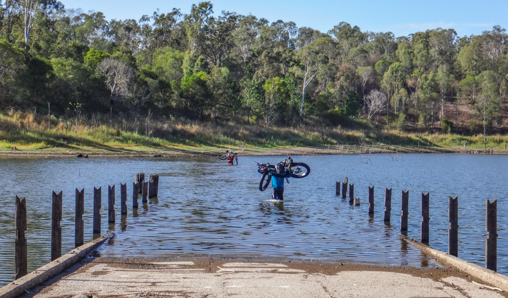
Eventually the old road disappeared under the water again, but this time we decided to try a different approach…
This section looked like it used to be an old bridge over a creek, so we put on our rubber sandals, and waded out into the water, bikes held aloft.

The old stories of Billy Mateer say that he crossed flooded creeks. At the start of his journey, Henry Somerset rowed him across the swolen Brisbane River, with a couple of horses in tow. One of the horses broke free, but the remaining horse, named “Lunatic” made it across the river with Billy and Henry.
We figured if Billy braved a raging torrent in a row boat, we could tolerate a pond-like crossing with a solid surface underfoot. It wasn’t fully authentic, but it was in keeping with the theme.
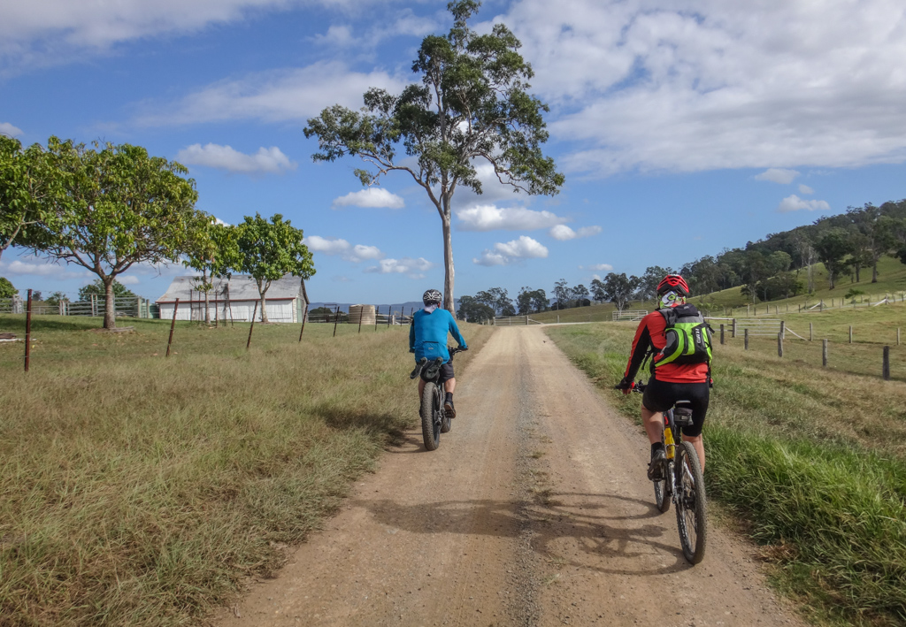
Leaving Rush Creek we then followed Strongs Road west towards Dayboro.
Strongs Road was as close as we could get to the original alignment of the North Pine River, which kept us as close as we could guess to Billy’s original route. It also proved to me that it’s possible to get from Petrie to Dayboro without having to follow busy Dayboro Road.
We parted ways with Russel at Dayboro. Darb and I then continued our journey west from Dayboro towards Lacey’s Creek.
I’m not totally sure where Billy crossed the D’Aguilar Range. I can imagine Henry Somerset giving him simple foolproof instructions, which would work in the most inclement weather. I think Henry might have said something like this:
“I’ll row you across the Brisbane River. You should ride east to Reedy Creek. Follow that creek east. It will eventually turn into Byron Creek. Keep following it east till you meet the range. Here you’ll find several spurs – climb the one with the easiest gradient. At the top, descend another spur down the hill until you encounter the North Pine River. Follow the North Pine River till you meet the railway line”.
These instructions would have yielded a reasonably straight route with the least amount of elevation, crossing the range in the vicinity of Chambers Road passing through Mount Pleasant, and only requiring a climb up to 300 metres elevation. They also meant Billy would have been riding along the southern bank of the river, and would not have had to cross the Stanley River or Reedy Creek, an important consideration during a flood.
My friend John Wright suggested we should investigate a more southerly route using Wirth Road and Butcher Shop Creek Road. John’s rationale is that Butcher Shop Creek follows a reasonably easy spur upwards, and Wirth Road is a historic stock route, which might have been based on a traditional aboriginal pathway down the range.
This would have been a little more complicated, and involved a higher climb up to about 550 metres elevation, then followed Laceys Creek to the North Pine River. My only reservation about this is that the terrain around Wirth Road is very steep, and the vegetation is incredibly thick. Also, Lacey’s Creek can be quite violent when it’s in flood.
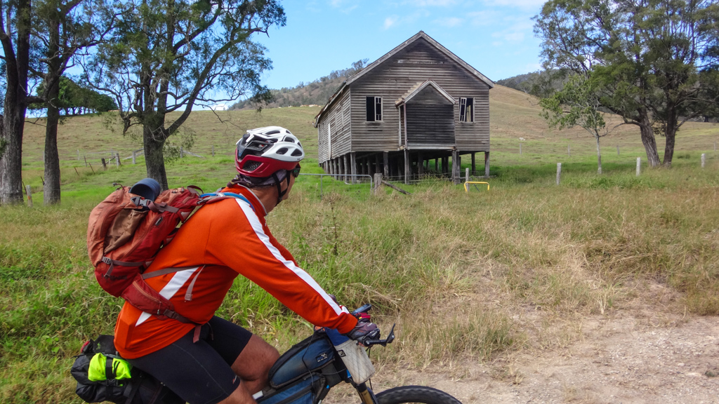
We took John Wright’s suggestion and proceeded via Lacey’s Creek over rolling pastures and past the old community hall.
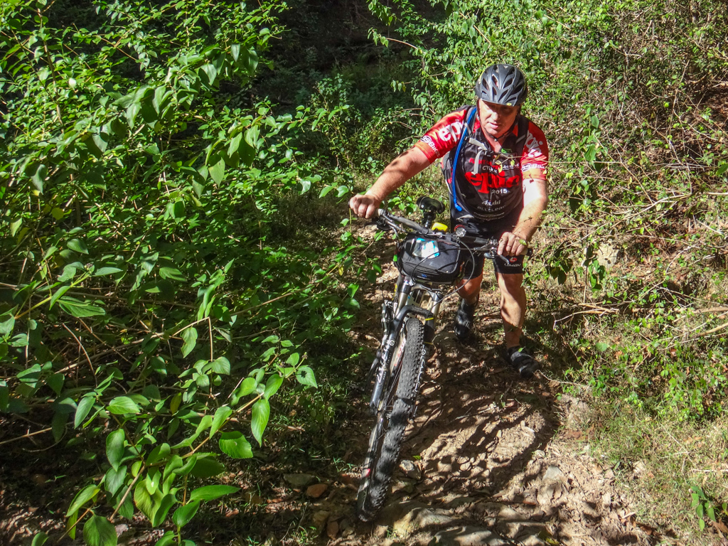
Wirth Road is steep. Our bikes were heavy. We clicked down into the lowest gear, spun the pedals, and didn’t talk much.
All the while I was thinking to myself, “How would a young bloke on a horse in a storm get through here?”
We met Simon at the top.
He had wisely set off before us, taking a simpler route. This gave him more time to ride at a leisurely pace and have a rest at the top while he waited for us.
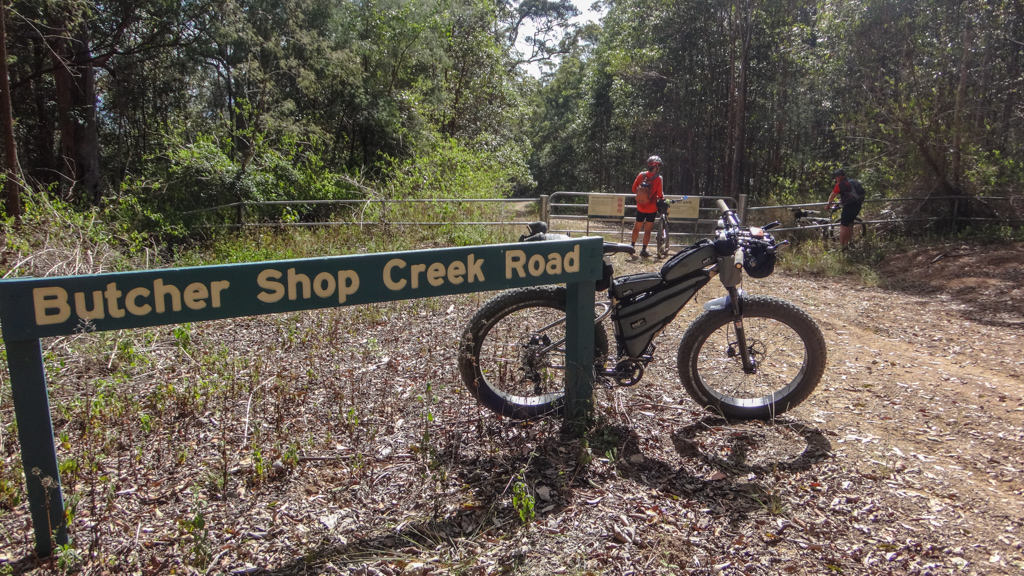
We had done the climb, now we could enjoy the descent. Butcher Shop Creek is a long gentle descent. If Billy came this way it would have been a reasonably easy climb.
Down, down, down. I took my time. It had been a long strenuous ascent to the ridge, so it seemed fitting that I should make the descent last a little bit longer.
At the bottom we encountered my least favourite shrub – Lantana. We had to bash through its thick sharp branches as they scratched our faces and legs.
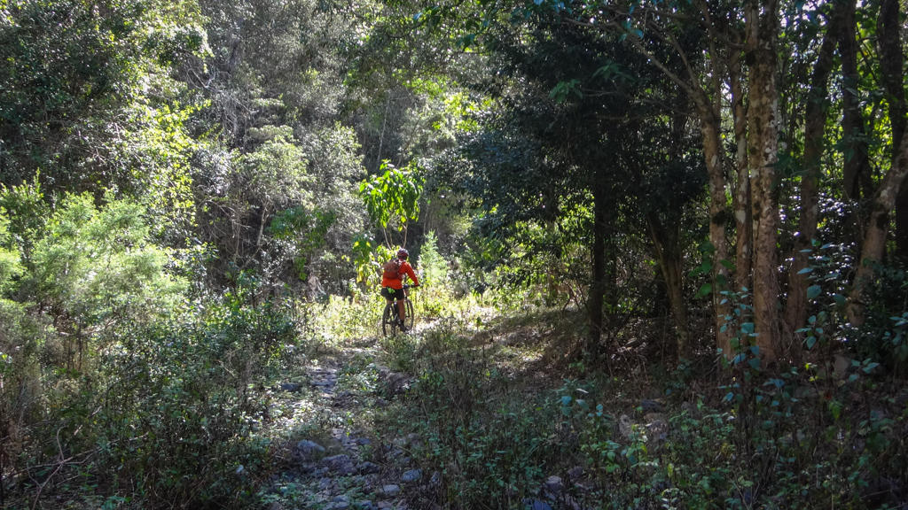
We alternated between Lantana and a rocky creek bed. Byron Creek was dry – there hasn’t been much rain for months. During a storm this would have been a challenging place.
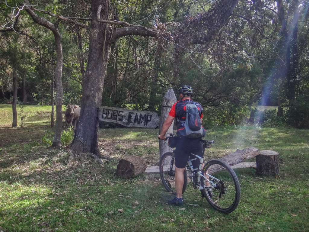
Eventually the Lantana and rocky creek beds came an end, and we arrived at “Bob’s Camp”, a delightful camp site on the shore of Byron Creek. The four-legged residents eyed us curiously.

We had made it down to the western side of the range. In the distance, the escarpment below Mount Byron presented an impenetrable wall. Anyone wanting to climb this range from the west would need to know where they were going.

Eventually we reached the bridge over Reedy Creek. This is a complex area where the Stanley and Brisbane Rivers meet downstream from Somerset Dam (named after Henry Somerset), and upstream from Wivenhoe Dam. The upper reaches of Lake Wivenhoe have transformed this part of Reedy Creek into a series of large lagoons.
In the distance we could see the the Stanley River emerging from between the tight hills that framed Stanley Gorge. This place must be intimidating in flood.
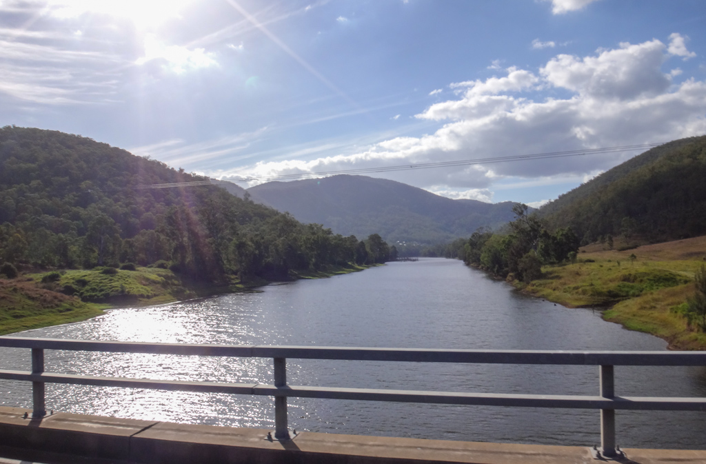
The Stanley River looked serene as we rode over the second major bridge.
Before crossing the third bridge at O’Sheas Crossing we stopped for a quick break beside the Brisbane River.
A few kilometres later we reached Caboonbah Homestead, former home of Henry Somerset. This is where Billy started his epic journey.
Sadly, the homestead has burned down, and SEQ Water has locked the site, preventing all access to it. This meant we were unable to get a closer look or enjoy the view from the cliffs overlooking the river.
 |
 |
| (Photo: EDelacy / CC-BY-SA-3.0) | (Painting: Pam Hopkins) |
The original building was completed around 1890, and would have been almost brand new when Billy rode off three years later.
So far we had travelled abut 80 kilometres, or 50 miles. It had taken us most of the day. This would have been a tough ride on horseback in the rain. Billy must have been an amazing horseman. His ride is immortalized in a wonderful painting by Pam Hopkins.
We continued our ride west along straight roads beside vast cattle paddocks as the sun slowly sunk towards the horizon.

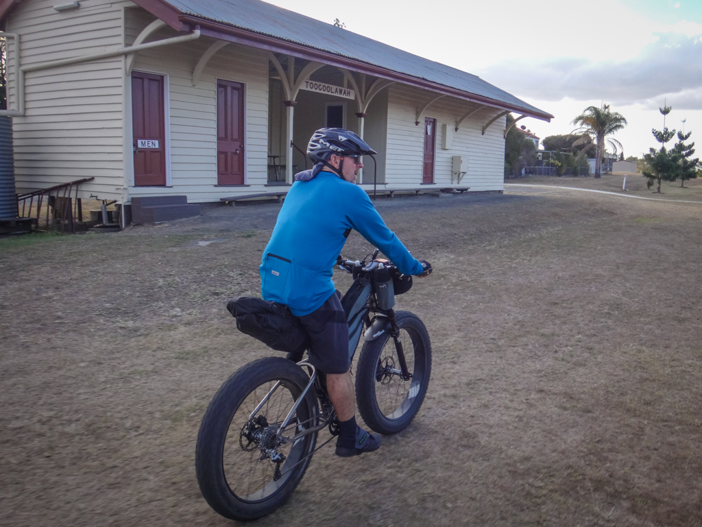
After about 100km we reached Toogoolawah. We arranged our course so we could join the Brisbane Valley Rail Trail without having to ride on the busy highway and ride the remaining short distance into town in relative peace.
This 100km epic had taken us about nine and a half hours including breaks. During that time we climbed about 1,750 metres in elevation, and I burned about 3,500 kcal.
Total climbing: 2191 m
Average temperature: 22.8
Total time: 09:36:42
More Info
This one rates about 9 out of 10 on the tough-o-meter.
Due to the remote nature of most of the ride, it would be wise to exercise more caution in summer, and to be sure you had enough water. This was a reasonably cool day and I used about five litres.
Day 2.
My friend Andrew Demack does an excellent job as Development officer for Bicycle Queensland. A few months ago he asked if I’d like to be part of a big social ride along the Brisbane Valley Rail Trail (BVRT) between Toogoolawah and Fernvale. The wheels in my imagination started turning, and I thought it could be fun if I included that ride as part of a larger weekend. That’s why we decided to do the Billy Mateer ride on this weekend.
We were already in Toogoolawah, and could ride with our friends from BQ to Fernvale, and then continue our own epic along the BVRT to Wulkuraka Station near Ipswich, where we could catch the train home.
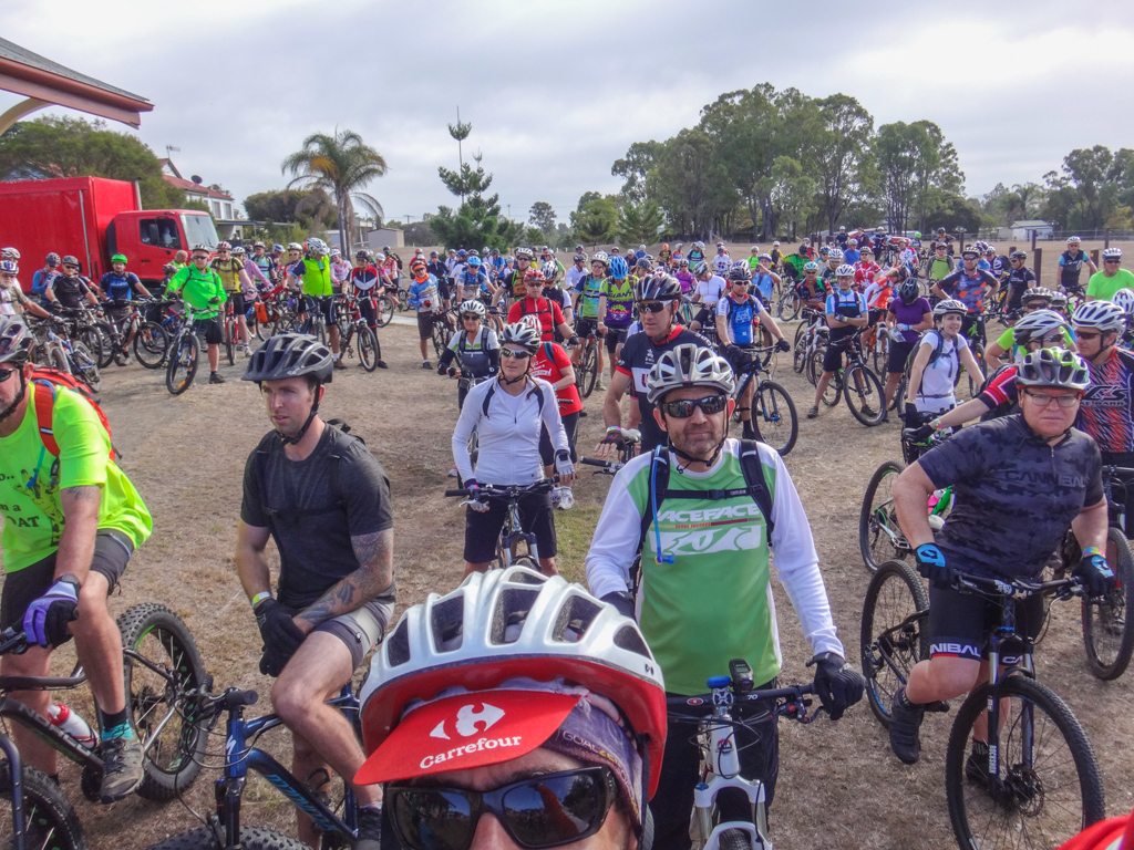
Successive buses and removal vans turned up disgorging hundreds of excited cyclists and their precious bikes. This was a huge event.
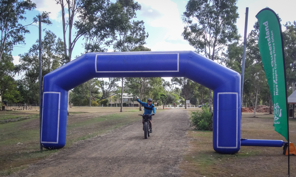
Eventually three hundred riders milled around at the starting line waiting for the “all-clear” to begin.

Andrew said a few words, blew the horn, and we were off. This was the biggest ride I’d ever been part of. Somewhere in the back of my mind I heaved a sigh of relief that I wasn’t the one organizing all these people today. I was just part of the huge rolling party on wheels and could enjoy the ride.
An army of volunteers lined the trail, their smiling faces beaming at us as we rolled past. Aren’t volunteers wonderful?
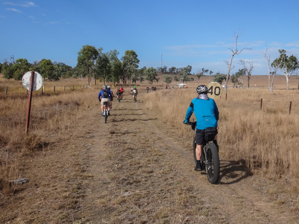
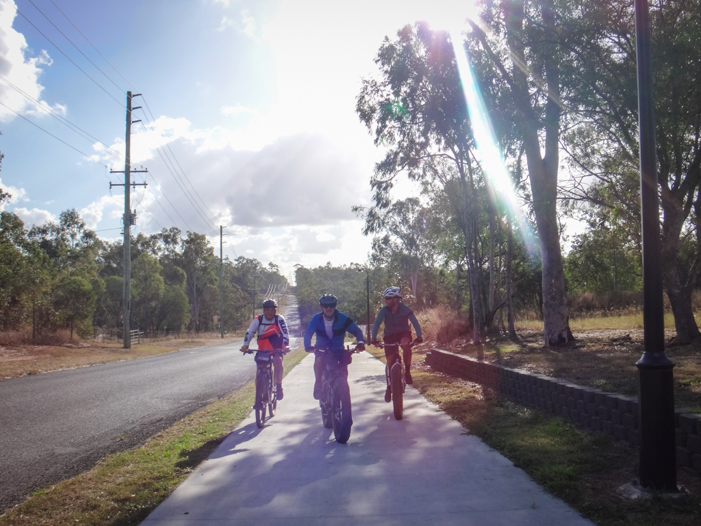
Railway lines are necessarily flat, because trains can’t go up steep hills. This is fortunate for riders on the rail trail: the easy gradients and gentle twisting lines are perfect for a cruisy day on the bike. After yesterday’s epic we appreciated the easy terrain and settled into a relaxed rhythm.
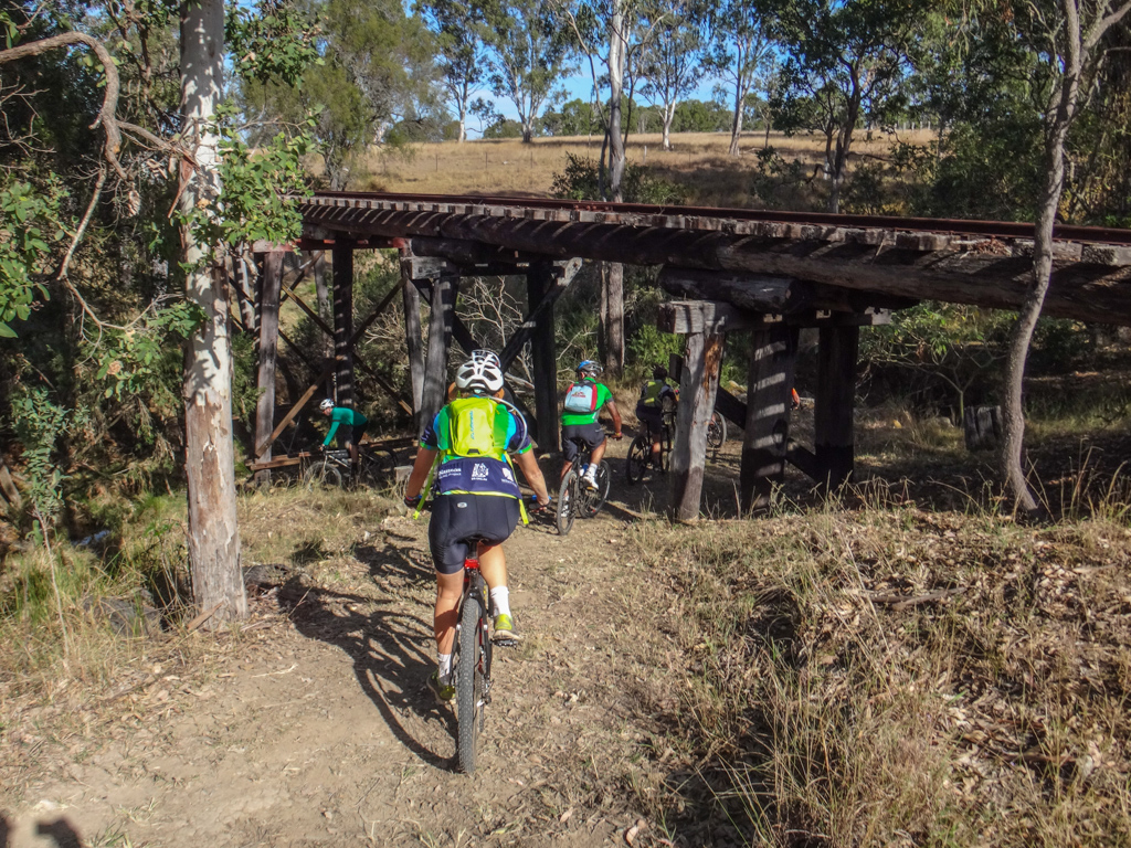
Creek crossings add to the fun. You can’t ride your bike over the old bridges, so it’s a challenge riding into and out of the creek crossings. We met the first one a few kilometres outside of our starting point.
Our bikes gobbled up the distance. In a surprisingly short time the familiar hills of Esk came into view. We were making good time.
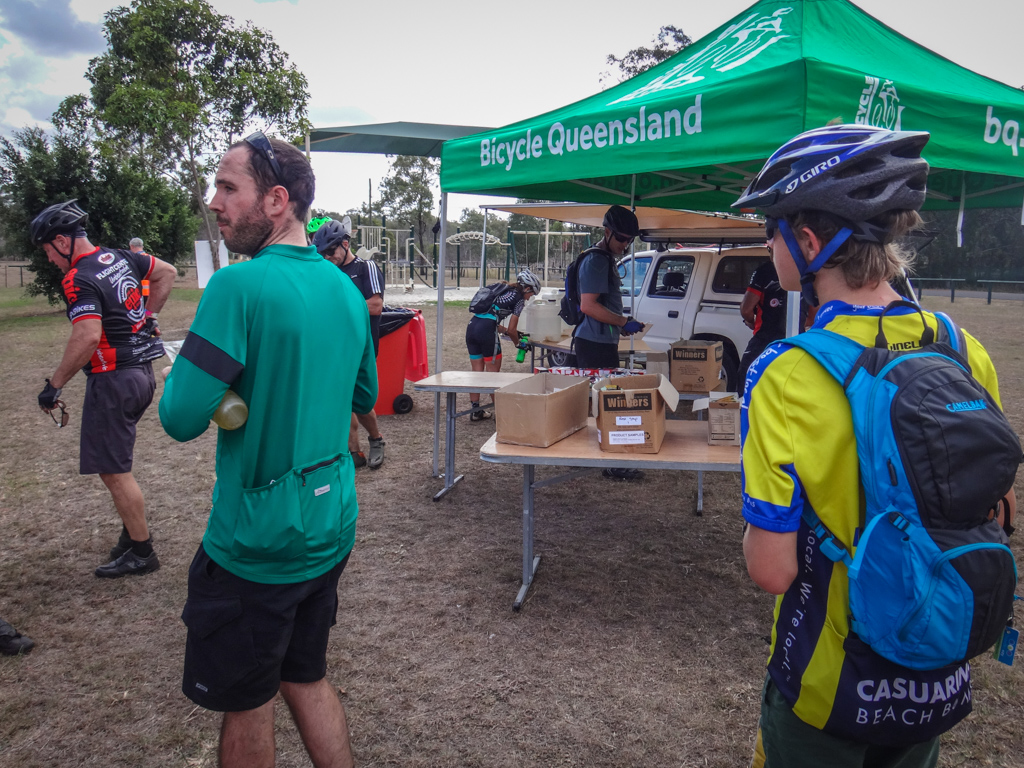
We had a quick break at a well-provisioned rest stop, where I stocked up on electrolyte powder. This was a rare treat for me. Every hour we passed a friendly stall offering free goodies. How could I refuse?
South of Esk we passed “The Bridge”. This spot looms large in my mind as the place I permanently damaged my knee in a stupid fall a few years ago. I’ve passed it a few times since, and shudder as I recall the pain. But I also smile when I realize how lucky I was to recover and to still be riding.
I didn’t fall off today.
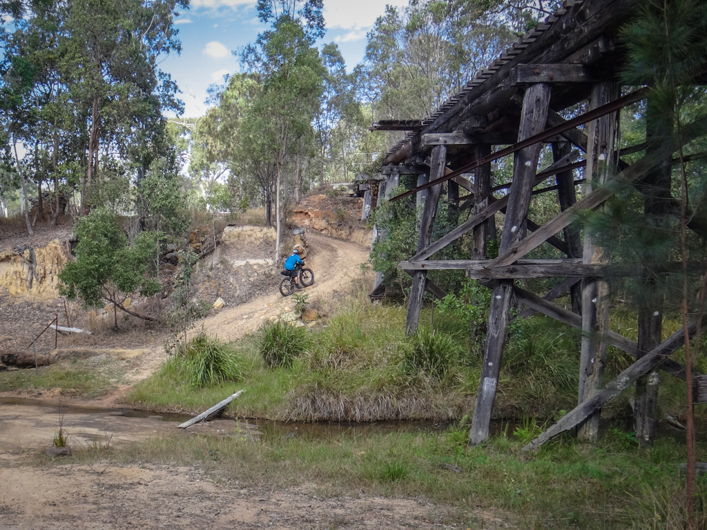
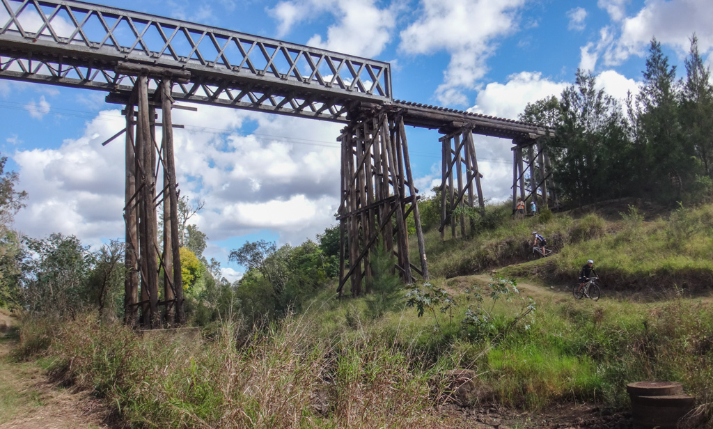
The bridges are impressive – a tribute to the prowess of engineers from a century ago.
We passed some riders on unusual looking “bikes” near Mount Halen.
“They’re huge tyres” the rider said, looking at Darb’s fat-bike.
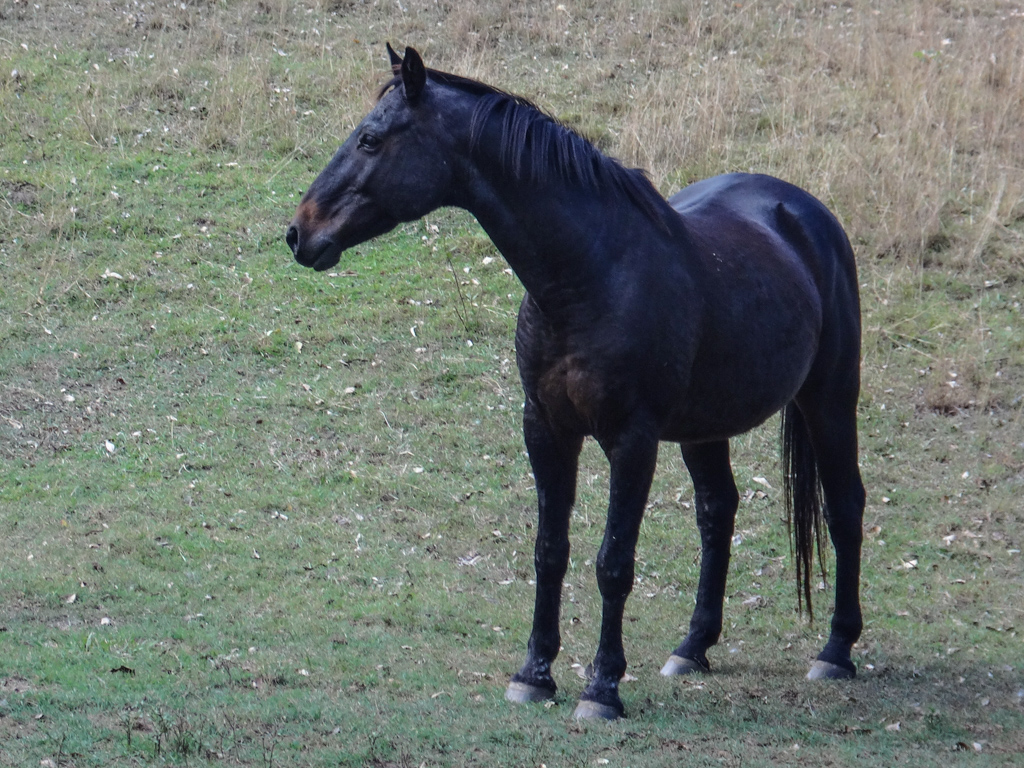
“They’re strange looking wheels” I said, looking at the horses legs.
Even though the rail trail is mostly flat, it does have slight rises and falls.
The rises are subtle, which makes it confusing when you’re trying to keep up a reasonable pace but don’t seem to be going as fast as you want.
The upside of this is the slow acceleration when you finally reach the top of the almost invisible hill, and start to roll down the other side. You suddenly find your self speeding up as you roll over seemingly flat terrain.
We enjoyed the long gentle descent from Mount Halen to Coominya.
We were greeted by more friendly volunteers in Coominya, with some more well-stocked food stalls. This was luxury. I wonder what 19th century Billy would have made of this?

South of Coominya we crossed Lockyer Creek, under the amazing Lockyer Creek rail bridge. This impressive structure was built in 1885. It’s one of the oldest metal truss bridges in the state.
We flew through Lowood, only a few kilometres from Fernvale.
We were making very good time.
We hoped to get to Wulkuraka by about 3pm so we could catch the train. The first 50km had taken us just under 3 hours. If we kept this pace up we’d get to the train on time.
Between Lowood and Fernvale, the BVRT has some great views of the Brisbane River. Even though we were on a tight schedule, we slowed down to enjoy the sights. This is a pretty part of the world.
Fernvale! It had taken us just over three and a half hours to ride 60km. We were feeling pleased with ourselves.
The BQ ride was over. Most of our fellow riders would finish here and enjoy a well-earned lunch.
But as Robert Frost wrote in “Stopping by Woods on a Snowy Evening”:
I have promises to keep,
And miles to go before I sleep,
And miles to go before I sleep.
We still had a long way to go. Our ride wasn’t over yet.
We now had the trail to ourselves.
Our friends had warned us that there were many gates to open and close, which might slow us down.
Thankfully, the BVRT people have installed small cattle grids at these gates. These let us ride through unhindered but prevented cattle from escaping.
We kept the pace up over bumpy ground, through slow grassy sections, and over some sandy patches.
My legs hurt, my backside was sore, but I just zoned out and turned the pedals.
Eventually we rode under the Warrego Highway out the back of Ipswich.
We were nearing the end of the ride.
We finally caught up with Simon just outside of Wulkuraka.
He had left earlier than us to avoid the crowds, and take the ride at a more leisurely pace.
He had been riding solo all day and was glad to see us.
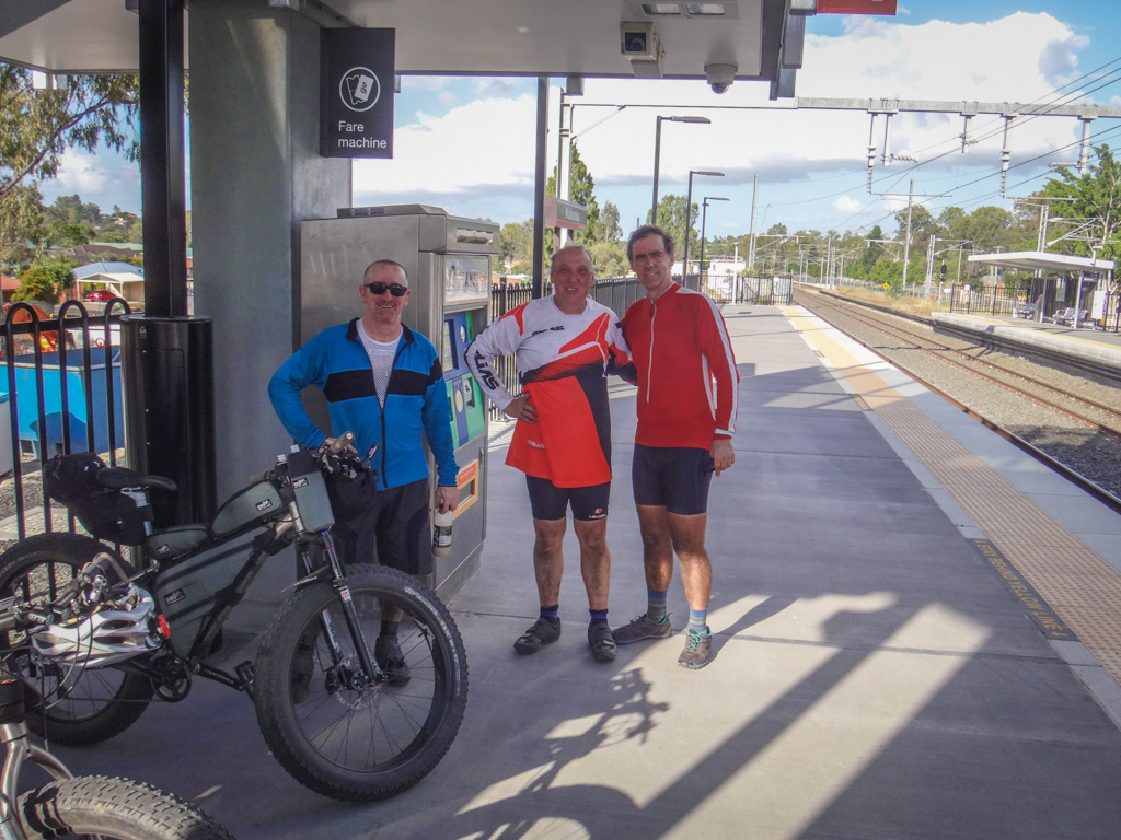
Justin very kindly offered to take a photo of Darb, Simon and me as we waited on the station platform.
I was filthy.
Railway dust caked my legs.
I stank of sweat.
I was happy.
Today we had covered about 90 kilometres in about six hours. During that time I burned about 2,500 kcal and we climbed about 572 metres in elevation.
This section of our ride rates 7.5 out of 10 on the tough-o-meter. There are plenty of towns and water stops along the way. If you give yourself enough time (I’d suggest eight hours instead of the six we did it in) it’s a nice easy ride.
Total climbing: 839 m
Average temperature: 24.5
Total time: 07:21:04
More data
Here’s a map of our ride (in red) over the weekend.
I’ve overlaid a guess (in yellow) of where I think Billy may have ridden.
We rode a total of about 190 kilometres in about 15 hours, climbing about 2,300 metres in vertical ascent.
Thanks Darb, Simon, Russel and Justin for making this a memorable weekend.
Thanks Andrew Demack for your kind invitation.
And special thanks to John Wright for sharing Billy’s story with me.



























Ride your bike to a bike ride…. love it. Is this a thing now?!!!
I think it is, Ian! I’ve noticed a some people regularly now ride to the rides I organize. Sometimes one ride is not enough 🙂
Hi Neil, thanks for sharing this fascinating story. There’s actually a movie about this called Deluge:The true story of the great Brisbane flood of 1893, And highlights Somerset’s and Mateers heroic efforts to warn Brisbane of the impending flood.It’s available for loan through the Brisbane City Council library service. I’ll be getting my copy this week. Thanks again, Kevin.
G’day Kevin
Is the movie on DVD or VHS?
The only library copy I could find was on VHS.
Glad you enjoyed the story. We had fun riding it 🙂
Neil
It’s on DVD and available at Mitchelton and Everton Park libraries according to the online database elibcat. It was filmed entirely in south east qld so you might recognize some of the locations! Cheers.
It’s also on Youtube
Love what you guys do! I’m the guy who researched Billy, had articles published, commissioned the painting by Pam Hopkins and rebooted his legend etc. There are other groups following the Billy trail also and you could get together.Please phone on 3 843 0624 or email on tonyhammill@hotmail.com
Thanks
Tony Hammill.
Thanks Tony. Next time we plan to ride out that way we’ll get in touch.
Love your work Neil. You’ve made my prep work for a ride to Toogoolwah so much easier. These pages are a uniquely valuable resource and you should be Enormously proud of this body of work. Thanks for your efforts.
Thanks for your kind words, Brad.
I hope your ride goes well.
You’ll need to contact the land owners of Byronvale before you ride through that section. So when you have a clear idea of your ride plans, please let me know and I’ll forward the phone number.
Neil
Hi Neil,
I figured that would be the case unless I detoured via Diana’s Bath Road or one of the other options. I’ll be doing a few rides to scope out the area and will not enter private land without contacting the owner (via you). Thanks for the kind offer, I’ll be in touch if/when necessary.