There are two major creeks in our area with misleading names. One Mile Creek is about Seven miles long. Four Mile Creek is about Ten miles long. Both creeks have their source in the beautiful bushland of Clear Mountain. Here’s some pictures of my ride through Clear Mountain and over the upper reaches of One Mile Creek.

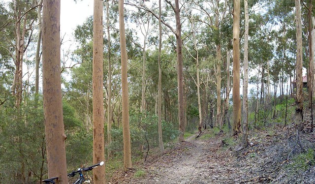
This is the trail head of one of my favourite rides through Clear Mountain. Starting at the top of the mountain near Old School Road, Centre Road winds steeply down the hill through the eucalypts to a few crossings over One Mile Creek.
There are lots of trees, lizards and no sounds except bird calls and wind through the leaves.
It’s a great place to ride, and I’m so glad most of it is a state forest reserve.

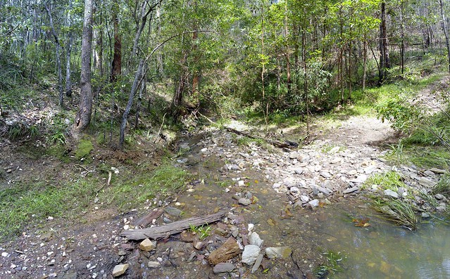
The crossings over One Mile Creek have created some steep banks which are challenging to cycle in and out of, but are always enjoyable.

