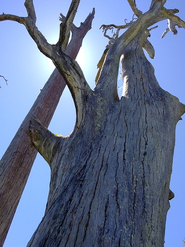
The carving says “B&W 70 1860”. Burke and Wills passed this way in 1860 on their way from Melbourne to the Gulf Country. They carved their initials on this tree as a survey marker.
Amazing how slowly a tree grows. And amazing to touch something of such national significance. About 100 miles south of here is another tree, the “Dig Tree”. Google it for more info. It’s an amazing story.
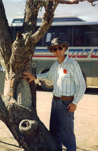
This photo was taken in 1993 when I visited Birdsville with my mate, Brian.
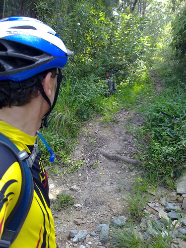
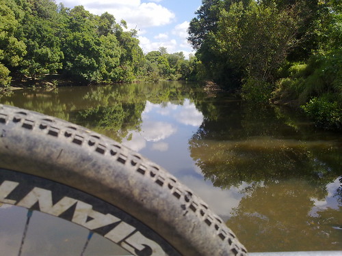
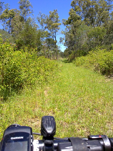
One of my favourite spots on the Dunlop Lane / Smiths Road loop is the Mosquito Creek crossing. It’s in the middle of several km of quiet bushland trails. When I first rode it, I had to dismount to complete the crossing, but these days I just zip across it on the bike and always feel smug about it 🙂
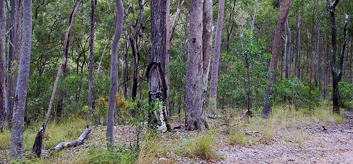
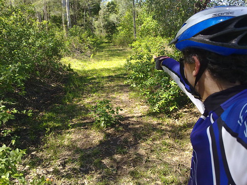
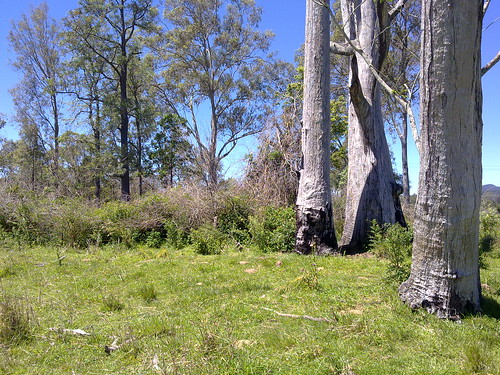
Another survey tree. It’s amazing how once you know what to look for, these trees just seem to pop up everywhere.
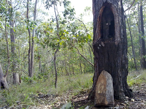
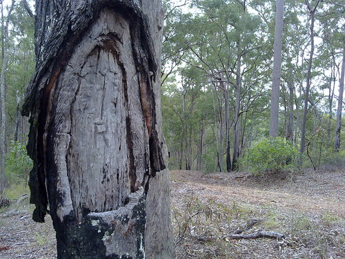
Surveyors “blazed” Iron Bark Eucalypts like this one, for use as survey markers, because the species is very slow growing. So a mark will remain relatively unchanged for decades. This one is probably almost 100 years old. I’ll update when I find out more info from our wonderful local history librarian.
A camel thinks she’s part of the herd. I stopped the bike and asked the camel if I could take her picture. The only reply I got was a very low grumble. Camels have attitude!
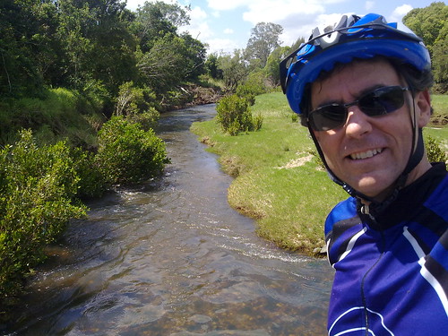
Total distance: 36.51 km Total climbing: 628 m Average temperature: Total time: 02:36:13
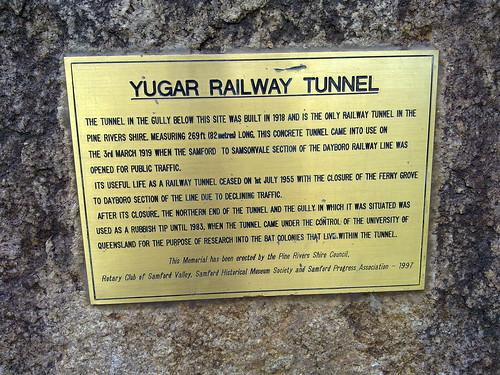
North of Samford, the railway line passes through Yugar. This is the only place on the line where a tunnel was necessary to pass under the roadway.
After the railway line was closed, this gully was used as a rubbish dump, but in 1983 the University of Queensland acquired the site to study the bats that now live in the tunnel.
Today my only other companion was a large hungry Brown Snake who was obviously looking for some bat-flavored fast food take-away!
Total distance: 78.19 km Total climbing: 1340 m Average temperature: Total time: 05:38:40
But before 1955 this line went all the way to Dayboro.
The old railway track rises out of Ferny Grove and winds slowly up Camp Mountain. Even though the gradient is low (less than 5%) the train would have struggled slowly to the crest of the hill, after which it would pick up speed as it rolled down into Camp Mountain Station.
In May 1947, disaster struck. After reaching the top of climb at Camp Mountain, one train accelerated too quickly downhill and crashed at this site as the track curved sharply to the left.
16 people were killed as carriages telescoped into each other.
Today it still stands as Queensland’s worst ever rail disaster, and the second most tragic rail disaster in Australia’s history after Granville.
Total distance: 78.19 km Total climbing: 1340 m Average temperature: Total time: 05:38:40
Wights Mountain has one of the best preserved Aboriginal Ceremonial Bora Grounds in our area.
I didn’t have a wide-angled camera, so I had to stitch the photos together. Can you make out the raised ring of earth?
The Bora Grounds consisted of one large ring in which important tribal ceremonies were conducted, and a second secret ring where young initiates were taken to learn “mens business”. The two rings are connected by a sacred pathway approximately 400m long.
As I stood by the large ring, I imagined what it would have been like to stand here hundreds of years ago in the firelight as the tribe sang their songs, and young boys became men – learning secrets handed down for generations.
I felt a sense of loss.
European history is almost clinical. It has been chronicled in books for centuries for anyone to read. Aboriginal history is different. To learn it you needed to have a relationship to the person telling it to you, and a personal commitment to the community. We’ll never know many of the stories and secrets told here – they died with the story tellers.
I’ve only photographed the larger ring. I didn’t think it was respectful to photograph the smaller ring. If you want to see that, you’ll need to go to Wights Mountain yourself!
Here’s a diorama at the Samford Historical Museum depicting how the Bora Ring would have been used by the local Aboriginal people.
There are several Marked Trees at the Bora Grounds. One of these is obviously a Government Survey Tree (marked with an “R” and a number). I’m not sure whether the other trees are survey trees, or have been “marked” by Aborigines to signify the importance of the site. I’ll update the information when I find out.
Total distance: 78.19 km Total climbing: 1340 m Average temperature: Total time: 05:38:40
My friend, and local historian, Leith Barter informed me that the tree was recorded on a survey by Gavan Newman in 1938. It was either blazed by him then, or during an earlier survey in 1920.
Gavan Newman was born in Caboolture in 1888 and was registered as a surveyor from 1914 to 1970. In other words he was a surveyor for 56 years.
If you’re interested there’s a copy of part of his original survey plan here:
In history we often think of explorers embarking on exciting voyages of discovery, but in Australia’s past, much of the “exploration” was done by men of maps – surveyors like Newman:
John Oxley was a surveyor in the Royal Navy. James Cook and Matthew Flinders were arguably the best cartographers of their age.
But if you ever stumble across a blazed survey tree, spare a thought for the unsung explorers like Gavan Newman.
Total distance: 25.73 km Total climbing: 474 m Average temperature: Total time: 01:38:21
I rode out to Mt Samson and Samsonvale again this morning to continue my search for any remnants of the old Railway line, and to check out the Samsonvale Bora Ring.
The railway line heads north from Mount Samson to Samsonvale. Unfortunately it disappears into the lake now. This is the view looking South towards Mount Samson station. The embankments are still evident.
South of Mt Samson village the railway line runs under Kunde’s Road. This is the view west towards the unmistakable pyramid shape of Mount Samson in the D’Aguilar ranges.
The line continues north of Samsonvale through Gold’s Scrub towards Kobble.
This dead tree marks the site of the Samsonvale Bora Ring.
The Samsonvale Bora Ring was an ancient, sacred, ceremonial site used by the Turrbal Aborigines for corroborees and initiation ceremonies. It stands less than a hundred metres from a busy road and is easy to see, although I’m sure most of the people driving by would have no idea about the important events that have transpired here for thousands years.