Blue Tiers

I cycled through the Blue Tiers in North Eastern Tasmania today. The day started beautifully at the small town of Weldborough, but the weather quickly deteriorated and I ended up doing most of the 35km in cold rain.  I’ve never ridden in such cold conditions (3 – 4 C) before, and it was satisfying to know I could do a tough ride in such difficult conditions.

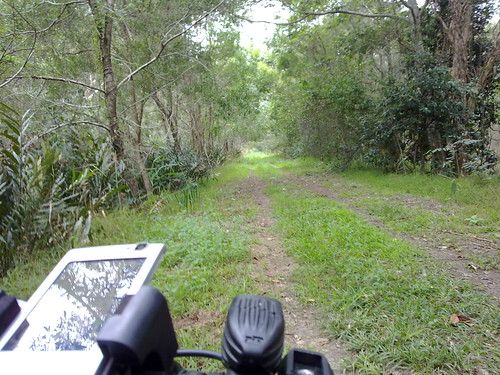
The route was east out of Weldborough, up the mountain, then down a dirt road to Lottah, up to the Blue Tier camping ground at Poimena, and then down the “Descent” trail back into Weldborough.

Lottah Caravan
As I rode into Lottah, it was pouring with rain and freezing, so I waited a while at this little caravan and shelter. No one was there, and the door was unlocked. I went in, and there was a guest book on the table, so I signed it.

What a welcome sight to a cold, wet traveler! I celebrated by eating Snickers bar. I was amazed at how quickly the chocolate and nuts warmed me up.
Poimena
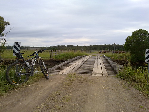
Which way to go? I had a pretty basic map and I tried to follow all the signs. Even so, there were still a few times I thought I had gone the wrong way.


I got sick of battling to climb all the rock gardens on foot, so I stopped and did a quick video 🙂

Weldborough Hotel
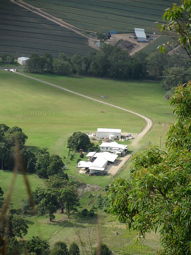
This is where I started and ended my ride. I was so glad to arrive there 90 minutes late at the end of the ride.

It was built in the 1880’s and is pretty spartan inside. So I had a Ham Pot Roast and a cup of tea as I sat by the warm fireplace.

That meal was better than any I have had at a fancy restaurant. It warmed me to my core.

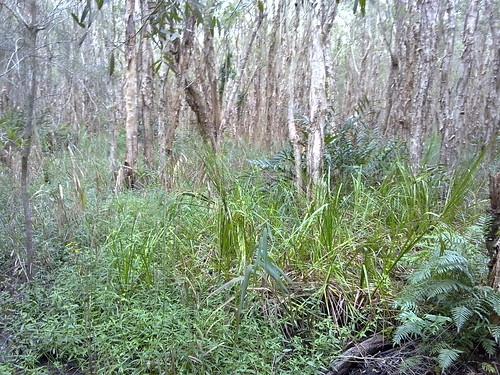
All up, it was a total ascent of about 1,000m. The climb up was steep and I worked hard, but it was much more difficult coming down the mountain. There were some very rocky descents, and quite a few freezing flooded creeks that I had to cross.

I couldn’t take many photos because it rained so much, so I couldn’t get the phone out to take photos because it would get wet.

I’d say this was the hardest ride I’ve done todate because I did it alone, so I had to be extra careful, and because of the unfamiliar conditions – very cold and very tricky downhills.

Because my phone conked out I don’t have a complete log, so I’m basing the profile and map on the manual route I worked out before the ride. I actually rode an extra 5km in the middle of the ride at Poimena because I made a mistake and got onto the descent trail the “long” way instead of the short way.

<a href=”http://www.flickr.com/photos/magictyger/4871487906/” title=”Lottah Caravan by Neil Ennis, on Flickr”><img src=”http://farm5.static.flickr.com/4136/4871487906_e2c5b838d3.jpg” width=”500″ height=”375″ alt=”Lottah Caravan” /></a>

Blue Tiers, Tasmania

I plan to ride a mountain bike through the Blue Tiers in Tasmania this Sunday. It’s a picturesque, remote alpine area of north-eastern Tasmania that is supposed to be well worth the effort.

The only problem is that I’ll probably be riding it alone, and I’ve never been there before.

So to be on the safe side, I’m publishing my proposed route here, with some checkpoints along the way, and I’ll update my twitter feed with a photo from those checkpoints so that (if you’re interested) you can keep an eye on where I’m up to. If I fall off the bike, or get abducted by aliens, at least you’ll know how far I got and where I plan to go.

I’ll be leaving the Weldborough Hotel at about 10.30am and aim to be back by about 3pm.

The checkpoints are:

  1. Weldborough Hotel. 0km. 10:30am
  2. Lotta Rd Turnoff. 6.4km. 11:00am
  3. Town of Lotta. 14.2km.  11:45am
  4. Poimena School Site. 17.8km. 12:30pm
  5. Emu Road. 22.4km. 1:30pm
  6. Weldborough Hotel. 30km. 2:30pm

Here’s the map

I’m really looking forward to it, and hope to share some great photos.

The Llawnton Llama of Lleis Park

We saw a couple of kangaroos while we were out cycling this morning, but this Llama wins the prize for the most unusual animal we’ve seen today.

He was just trotting around Lleis Park at Llawnton today (pardon the double LL’s but when you see Llama it affects your spelllling).

He had decided to wander off from the circus that has set up camp in the park.

No one was harmed, and he eventually went back home to the circus.


It’s all about the Journey

I had been searching google maps for days trying to work out a good route west of Coolum to explore on the bike. The idea was to ride along some old tracks by a creek, then onto a quiet gravel road, and eventually across the Maroochy River via an old cane “lift bridge” and on to Bli Bli.

That was the plan….

The middle of nowhere (1 of 6)
The first track by a cane field looked perfect. I rode down it for a few km until it got muddier, the grass got higher, and ….

Tea Tree Swamp (2 of 6)
I ended up in a pretty thick Tea Tree (or Ti Tree) swamp. Tea Trees are amazing in that they can live happily in swampy ground with their roots submerged most of the time. They have beautiful papery bark, and can grow in a thick inpenetrable scrub, which is impossible to ride through on a bike.

So I backtracked….

Old Bridge (3 of 6)
I eventually came out on an old gravel road with some rickety old bridges. When I saw the bridge I realized I’d found the right track after going down a few wrong ones….

Cane Bridge (4 of 6)
I came across what I was looking for. The local council described it as a sugar cane “lift bridge”. I figured I could squeeze myself and the bike through the gap in the bars and cross the river…

Cane Bridge (5 of 6)
Crossing an old railway bridge while pushing a bike (I wasn’t crazy enough to RIDE across!) required a bit of care, but the bridge was solid, and I wasn’t in any danger…..

Cane Bridge (6 of 6)
Arrrgggg! So THIS is what a “lift bridge” is! A section of the bridge lifts up to allow boats to pass under. Unfortunately the last “lift” happened years ago. There was no way I was going to cross that bridge!

So I turned around and rode home.

But it highlights what is an underlying theme for me when riding a mountain bike. The destination isn’t really the point. Yes, it’s nice to arrive, or achieve an objective, but when you really think about it, it’s all about the journey.

Ninderry

Last Januarry I climbed Mount Ninderry west of Coolum.

Today I took Liz and the kids up there so they could enjoy the views too.
Enjoying the viewEnjoying the viewFour happy climbers

Rock Sculpture
Someone who visited prior to us left this impressive rock sculpture looking out over the farmlands below.

Looking down on the farm
Liz captured this fascinating perspective looking down on a farm, which illustrates how high up we were.

&quot;Hansel and Gretel&quot;
It was really sweet to watch Harrison help Lilly get back down the steep track. Liz took this picture and suggested they looked like Hansel and Gretel in the woods.

Liz and LillyHarrison
There are some beautiful fern meadows at the top of Ninderry. As Liz and the kids walked back down the hil, they seemed to disappear in a sea of ferns.