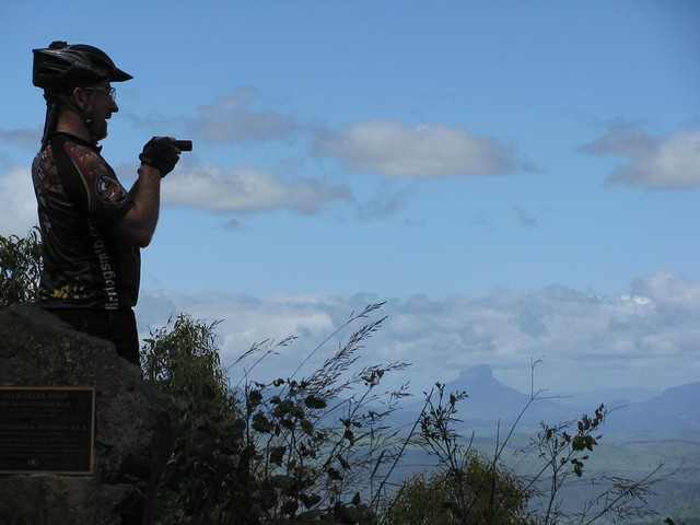
Border Ranges

Ridgeline
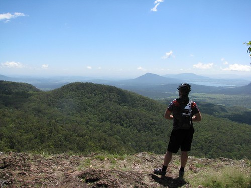
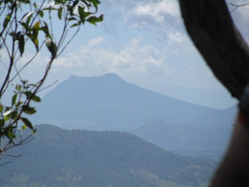
Like its name suggests, the Border Ranges National Park is a mountainous area of rainforest on the border of NSW and Queensland, just south of the border. It rises above 1,100 (3,600ft) in places and is covered with thick lush rainforest, towering trees and fast flowing streams.

The area is the traditional country of the Githabul Aboriginal People. It covers some of Australia’s most scenic country covering a number of natonal parks amd state forests around Kyogle, Woodenbong and Tenterfield, such as Koreelah NP, Mount Clunie NP, Richmond Range NP, Mount Northofagus NP, and Mount Lindesay State Forest.

Our plan was to start an 80km loop at the north-western edge of the park, head south towards Kyogle, then loop back northwards through Lynches Creek. This was quite ambitious considering we had to drive two and a half hours to get there in the first place, and considering the fact that that I find it very difficult to get out of bed early.
Simes Road
We arrived at the starting point, Simes Road, at 9:30am – a little later than we had anticipated and were optimistic we could make good time if we kept the pace up.
Tweed Range Road
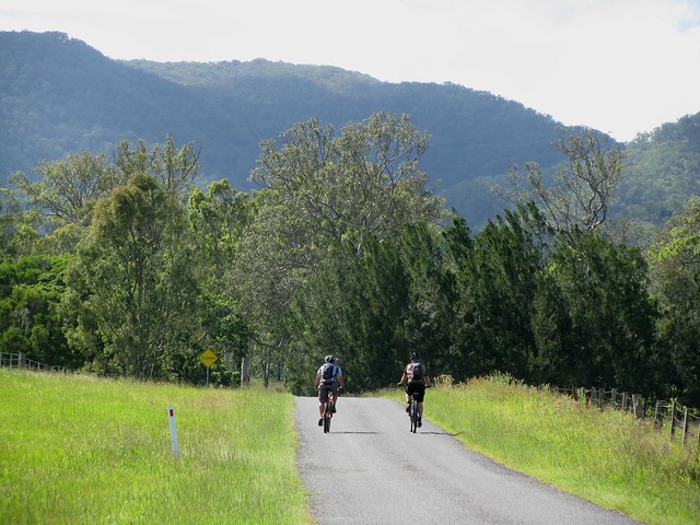
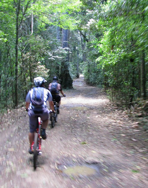
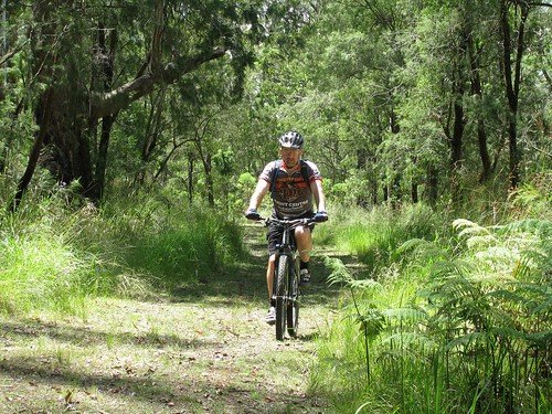
The roads were muddy from the overnight rain. Being from the UK, Adi was used to wet tracks, and showed us how the Brits handle mud by popping a wheelstand while riding up one of the steep hills.
Border Ranges National Park
(Photo by Nick Mills)

After about half an hour climbing, farmland gave way to rainforest as we reached the entrance to the National Park.
Resting in the Mist
We didn’t realize that we’d be climbing for well over two hours before we reached the top of mountain. Physically this was ok – we were all used to long climbs. You just sit back, turn the pedals, and enjoy the view 🙂 The problem was that it meant we made much slower progress that we had expected, and we didn’t get to the top of the range till about 12:30.
Brindle Creek
(Photo by Nick Mills)

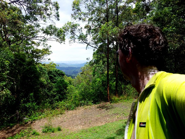
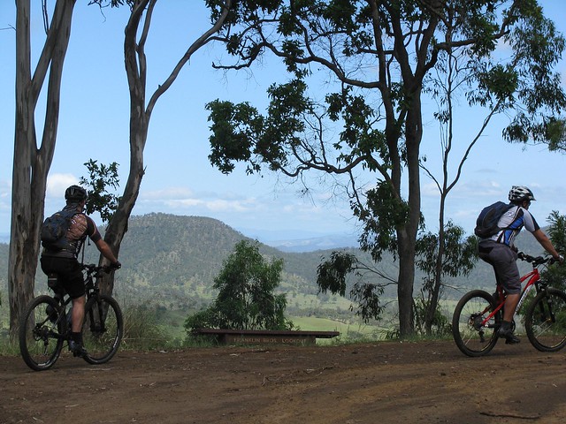
It started to rain fairly heavily on the way up, so we were all quite wet by the time we got to the top. This, and the mist, meant that we couldn’t see anything from the lookout, but Brindle Creek looked spectactular. There’s something about a bubbling creek in the middle of a misty rainforest that stirs my soul.

Brindle Creek Road
At the eastern edge of the loop through the rainforest the track splits in two where Bridnle Creek Road meets Tweed Range Road. Our intended route was southwards. The other alternative was to take Tweed Range Road westward back to our starting point. This would shorten the ride by more than half. We talked about it for a while. It was getting close to 1pm, our intended route still involved 60km of muddy roads and heavy rain, and we still had a 3 hour drive home after that. So we decided to take the shortcut and head back downhill along Tweed Range Road. At least we’d end up getting home before dark.
Bottom of the Hill
(Photo by Nick Mills)
While it took us over two hours to ride UP the range, it only took us about 20 minutes to ride down. It was incredible fun. Riding downhill at close to 60km/h in a wet jersey makes you very cold, so I decided to put on a jacket to keep the wind out. One consequence of that is that the wind inflated the jacket, so by the time I reached the bottom I looked like the Michelin Tyre man 🙂

Nick
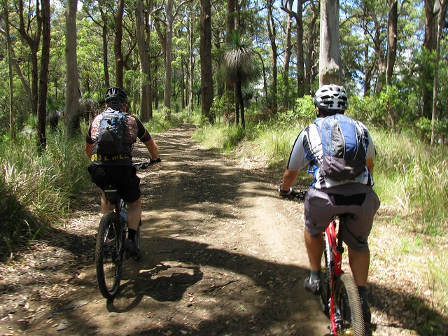
Being a much tougher rider, Nick decided to give the jacket a miss. But he still ended up wearing a fine mask of mud all over his face by the time he got to the bottom of the hill.

Dean
Perhaps the biggest surprise of the day was when we got back to the car, and met our exhausted and mud covered friend Dean grinding his bike up the hill from the other direction. He had actually started the ride two and a half hours before us. Unlike us, he slogged it out the entire way finishing the 80km loop at about the same time we finished our 35km loop.

What was most impressive was that he had parked 5km down the road from us at the top of Simes Road. So he kept pedalling on while we got in the cars to leave. 5km later when we had driven to the top of Simes Road, we looked in the rear view mirror, and there was Dean right behind us on the bike. After an 85km slog through the hills, he was able to go head to head with a 4wd over 5km in about the same time. Good on ya, Dean!

Lookout
On the drive home we stopped at the Railway Loop Lookout. Just before it reaches the Qld / NSW border, the railway line has to climb several hundred metres in a short time. The engineers came up with a novel way of overcoming this obstacle by making the railway loop over itself in a big circle (see the google map below). You can see this unusual bit of railway from the lookout.

View Larger Map

All up, 35km in 3 hours with 1,100m of ascent and 4,000kcal bunred. I can’t rate our intended loop as we didn’t finish it. I’m rating our actual loop 8 out of 10 on the tough-o-meter. I would have rated it lower, but the rain made it more difficult, as well as the logistics of getting to and from the starting point. It’s a great loop for anyone who’d like to see some great views over a short distance. But make sure you do it in dry weather!

Total distance: 36.73 km
Total climbing: 1118 m
Average temperature: NAN
Total time: 04:04:44
Download file: activity_167779924.gpx
More data
Australia Day

Camp Mountain Lookout
Australia Day this year was an ideal opportunity for me to get out of the house after all the rain rain and take a nice long ride on the bike to think about what this country means to me.

On the way, I got to enjoy some great trails at Bunyaville, Ironbark, Camp Mountain, D’Aguilar National Park, Samford Pony Trails and finally, Clear Mountain. I stuck to fire trails, so most of the ride was ok despite the recent rain.

It was great to meet up with my mate Graham who was riding with Jack along the Lanita Road Rail Trail. While I was there, I took a few minutes out to find a Geocache that was just a few metres off the track. If you like exploring, and the thrill of a treasure hunt, you might really enjoy Geocaching.
Before the Climb
The steep climb up the short side of Camp Mountain is always hard work. The wet ground was softer than usual which made it even harder. I took a quick break before starting the climb to catch my breath and appreciate the beauty of the place.
Camp Mountain Lookout
14 minutes later I was at the top gasping for breath, and feeling slightly smug that I’d nailed the hill. Even though my time was almost double the fastest time anyone has done that climb. Legend has it that someone did it in about seven minutes.

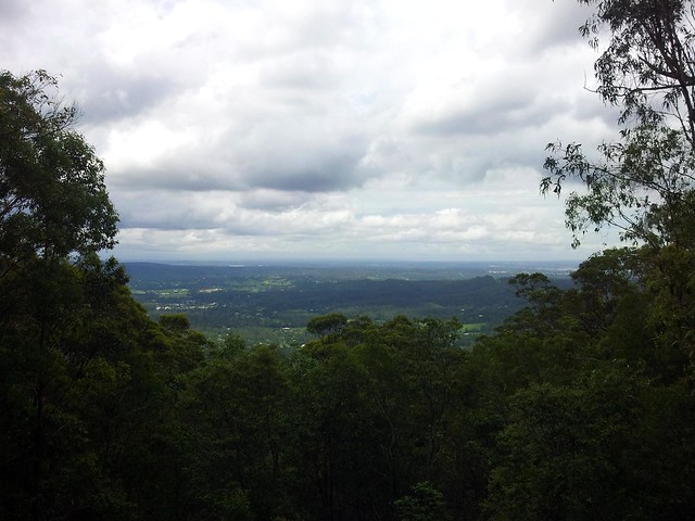
The views out to Brisbane were spectacular.
Camp Mountain Lookout
There are some great views out to Moreton Island as well.

From there, the plan was to head up to Scrub Road and spend a while down in D’Aguilar National Park before heading home via Mt Nebo.
Mike
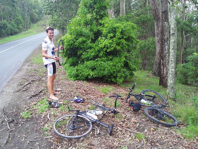
But I met Mike instead. He had two flat tyres, and only one spare tube. My big fat spare tubes wouldn’t have been much help to him, but I did have a patch kit, so I stopped and help him patch up his tubes. Since I’m not very fast at on-the-run repairs, this chewed up a bit more time than I planned, so I abandoned my plans for Scrub Road and just followed the bitumen to Mt Nebo instead.

From there it was a quick run down the Goat Track where I met Brock, a mountain biker who is lucky enough to live in Mount Nebo. The Goat Track is looking pretty rough at the moment. The rain has worn a lot of ruts in the track and some of the precipitous edges are looking dangerously soft.
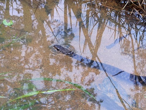
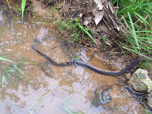
Freshwater / Keelback SnakeFreshwater / Keelback Snake
Rather than head into Samford, I followed the Pony Trails up to Gibbons Road, and came across this little Keelback (or Freshwater) snake chilling out in a puddle. They’re not venomous, but one really cool thing about them is that they eat cane toads. Unfortunately they like living around creeks and swamps, which land developers seem to enjoy clearing. Interesting to think that Land Developers and Cane Toads are on the same side 🙂

So on Australia Day, I am grateful. This place is beautiful. We have some spectacular scenery and amazing animals. And the people are great. I can stop by the side of the road and say “G’day” to people I’ve never met before and become friends right away. And I won’t even start on how good our health and education systems are (even though we complain about their shortcomings).

We’re still the lucky country.

But on Australia Day I’m also uneasy. I think about what we’ve lost, and what we’re losing. I can’t imagine what it would be like to be an indigenous Australian and slowly watch my country taken away from me, with forests cleared, animals forced to the brink of extinction, huge quarries and open cut mines, and a massive increase in population.

I don’t have any easy answers, but I intend to keep on exploring it and enjoying it.

And I hope we can fully appreciate what we have, and care for it.

All up, this was a 75km ride, with about 1,450m of ascent, and about 4,300kcal of energy. I started running short of water near Mt Nebo, so next time I plan to take some water purifying tablets to make it easier to take on extra water at the emergency tanks in the forest, or in some of the cleaner creeks. Next time I hope to do a similar route, but add in Scrub Road.

This one deserves 9 out of 10 on the tough-o-meter because of the distance, and the tough slog up Camp Mountain in the soggy, strength-sapping dirt.

Total distance: 75.69 km
Total climbing: 1468 m
Average temperature: NAN
Total time: 07:23:48
Download file: activity_144674281.gpx
More data
Blackbutt Revisited

Radnor Hotel
I’ve ridden the Brisbane Valley Rail Trail (BVRT) a few times, but this time I did it with Josh and 11 year old Harrison. We wanted it to be a bit of of an adventure, so we decided to take a change of clothes with us, and stay overnight at Blackbutt before riding back down the next day.

We left the car at Linville and headed up the Rail Trail in the early afternoon.
Missing BridgeMissing BridgeMissing Bridge
For the most part, the trail is really easy, with a gentle climb that would have been flat enough for a heavily laden locomotive to go up. But the bridges have been removed, so when we came to creek crossings, there were a few fun descents into the creek bed, followed by a wild scramble up the other side.

BVRT Gates
The trail runs through several cattle properties, which means there are many gates to open and close. We worked out a system where one of us would ride ahead, and open the gate so the others could roll through without having to hop off the bikes.

Grass Trees
Grass Trees
The hillsides around Linville are covered with Grass Trees (Xanthorrhoea). These slow growing plants only grow about 1cm per year. Some of them are 3 or 4 metres high, so we guessed they were probably hundreds of years old.

Benarkin Bora Ring
Towards the top of the range, the rolling cattle properties give way to state forest, thick with Hoop Pines and Eucalytpus. In the middle of the Hoop Pine plantation we found this old Aboriginal Bora Ring. It’s still possible to make out the raised mound of earth encircling the ring. Areas like this were an important part of indigenous ceremonies.

Pool
After a hard ride up the hill, we stopped at the Radnor Hotel – the Blackbutt Pub for a game of pool and a great dinner. The pub was built in 1912, and is probably the only pub in Queensland that still has rings on the posts outside so you can tie your horses up. (That’s the pub in the photo at the top of this article).

Back Roads
We stayed the night at the Edelweiss bed and breakfast. It’s 4km out of town, but we were able to get from the B&B back to the trail by following mostly gravel roads, which is much nicer than bitumen.

Hanes Kite Millar Road
On the way back, rather than just retrace our steps down the hill, we followed some forestry roads out the back of Blackbutt. One of these, Haynes Kite Millar Road, has some long descents which are a lot of fun to ride down on the bikes.

All up this was about 60km with 600m vertical ascent. I thought it was a pleasant, easy ride suitable for beginner – intermediate riders. It’s a great location for a social ride. I’m giving this one 5.5 out of 10 on the tough-o-meter.

P.S. One bit of advice about overnight rides: Travel light, take it easy, and if you don’t feel like carrying a tent, food, cooking gear and a sleeping bag, stay at a pub or B&B 🙂

Total distance: 28.59 km
Total climbing: 440 m
Average temperature: NAN
Total time: 03:54:49
Download file: activity_138511194.gpx
More data
Total distance: 31.79 km
Total climbing: 204 m
Average temperature: NAN
Total time: 02:12:38
Download file: activity_138511193.gpx
More data

Jingeri!

McPherson Ranges

Much of the beautiful Gold Coast Hinterland from Nerang, down to the McPherson Ranges, and up towards Jimboombah and Cedar Creek is the traditional country of the Wangerriburra indigenous people.

There’s a sign at the start of Duck Creek Road written in the Yugambeh Language which says

Jingeri wallal wahlu, yahbelehla Yugambeh (Wangerriburra) Djagun

Which translated means “Greetings all of you, going walking in Yugambeh / Wangerriburra Country.”

“Jingeri” is the Yugambeh word for the bird we know as the “Willy Wagtail”. It’s also the word for greeting. By some happy co-incidence I heard a willy wagtail twittering away while I read the sign.

So while we weren’t “going walking” today, we felt like the welcome was intended for mountain bikers as well.


Heading Out
Duck Creek Road starts as a pleasant country lane in Kerry, south of Beaudesert. For the first few kilometres it’s relatively flat and even, which allowed us to warm up gently before the climbs ahead.
Franklin Bros Lookout
At the end of the bitumen the track rises sharply to the first of several lookouts. Franklin Bros Lookout offers some great views over the local farmland.
Grass Tree
As you progress up Duck Creek Road, the vegetation slowly changes. The forest becomes thicker, and there are more and more Grass Trees (Xanthorrhoea). Many of them (like the one on the right of the track in this photo) are several metres high indicating an age of several hundred years.
Taking a picture
The best lookout is about two thirds of the way up and has panoramic views of the McPherson Ranges to the South West.
Rainforest Ride
Towards the top, the environment is transformed into a lush green rainforest. It’s a pleasure to ride in the delightful lower temperatures, and cool off after the effort of the preceding climb.
Tree Top Walk
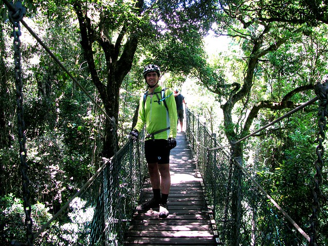
At the top there’s a suspended walkway through the tree-tops that lets you wander through the forest canopy, 20 metres above the ground. The walkway sways gently so it’s important to hang on, try not to rock the walkway, and (if you’re intimidated by heights) don’t look down!
King Parrot
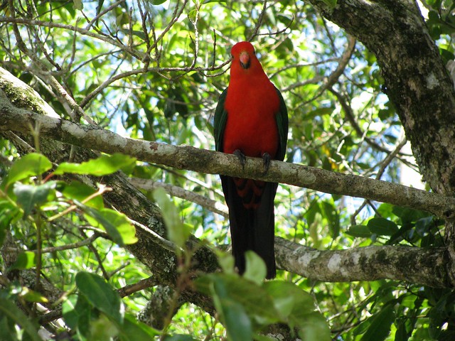
The cafe at O’Rielly’s serves delicious mountain-bike fuel. It also has flocks of colorful birds such as this King Parrot. We also spotted quite a few Crimson Rosellas. The cafe sells platters of bird food, and the parrots will swarm you and eat out of your hand (and off your plate) if you let them.

Although it took us about two hours to climb from the valley floor to the top, it only took us 25 minutes to ride back down. The fast descent was exhillarating. We overtook over half a dozen four wheel drives slowly trundling down the track, and were grateful for them pulling over to the side to let us pass.

All up, 38km with 1,100m of vertical ascent, and 3,000 kcal burned. Although some bits of the road are steep, I’m giving this one 8 out of 10 on the tough-o-metre. It’s a pleasant ride. All you need is half a day. Most fit riders will be able to ride the whole way. Just keep an eye out for on-coming 4wd traffic on the way down!

Total distance: 37.92 km
Total climbing: 1146 m
Average temperature: NAN
Total time: 04:21:48
Download file: activity_132292473.gpx
More data
Spicers Gap

Governors Chair Lookout, Spicers Gap
Spicers Gap was used for thousands of years by indigenous Australians as a pathway over the Great Dividing Range from the inland to the coast. It was named by Alan Cunningham in 1828, but it wasn’t until 1847 that European Settlers became aware of the route, when stock-man Henry Alphen discovered it was a much easier way of moving his stock over the range than the treacherous Cunninghams Gap 7km to the north. It then became a popular route for bullock drays moving bales of wool, 6 tons at a time to the Moreton Bay settlement.

Today Darb and I decided we’d see how much “Bullock Power” we had in the tank and road our mountain bikes up and over Spicers Gap.
The Long Climb Up
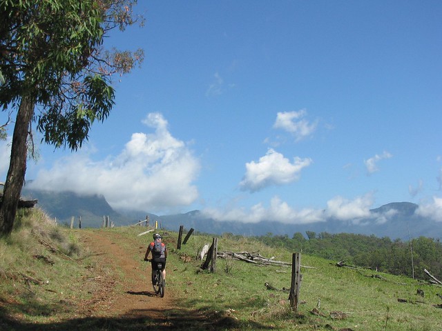
The road up is steep, and rough in places, rising about 600 metres in about 6km. Darb and I just put the bikes in “Granny Gear” and took our time riding up. Late November days in this part of the world are hot and humid, so we though the smart thing was to take a nice steady pace.
Moss's Well
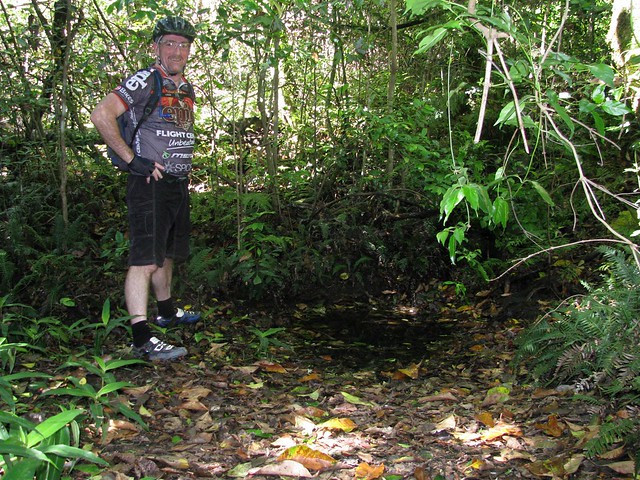
Just before we got to the lookout at the top, we stopped at Moss’s Well. From a distance it looks just like a puddle, but this freshwater mountain spring produces clean fresh water. It was named after Edward Moss, a contractor who was supposed to fix the boggy roads by laying logs across them. He never finished this “Corduroy Road”, but he was credited with finding this spring.
Governors Chair Lookout, Spicers Gap
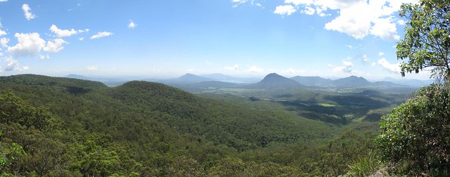
The panoramic view at the top from “Governors Chair” lookout is magnificent.
Enjoying the viewMount Maroon
It’s called “Governors Chair” because several notable people including Governors Fitzroy and Bowen came here and sat on the rock to enjoy the view. You can see for miles.
Old Logging RoadOld Jinker
The road at the top has been preserved to show some of the different methods used in nineteenth century road construction. There’s also an old Jinker up here. Darb wondered whether a man on a bike had as much power as a bullock. Needless to say the Jinker stayed put, so the Bullocks won this round 🙂
Millar Vale Creek
At the mid-point of the journey, just before we met the western section of the Cunningham Highway on the other side of the Great Dividing Range, we crossed Millar Vale Creek. It might look like a typical country creek, but if you look on a map, Millar Vale Creek eventually flows into the Condamine River, which eventually flows into the Balonne River, which…. eventually flows into the Murray River, and into the Southern Ocean over 3,000km away. So if you spit into Millar Vale Creek, it goes a heck of a long way!

All up 35km in about 4 hours with 1,250m of vertical ascent, and 3,200 kcal burned. Because of the summer humidity, boggy black soil, and flies (myriads of them) I’m giving this one 8.5 out of 10 on the Tough-o-meter. If you do it in winter when it’s cool, dry and the flies aren’t around, it would probably rate as 7.5 to 8 for toughness. So if you want an easier day, do it in Winter 🙂

Thanks for a great ride, Darb. And thanks, once again, to Gillian and Mark for giving us this idea in the first place via your wonderful book “Where to Mountain Bike in South East Queensland

Total distance: 35.43 km
Total climbing: 1303 m
Average temperature: NAN
Total time: 05:08:57
Download file: activity_131146235.gpx
More data
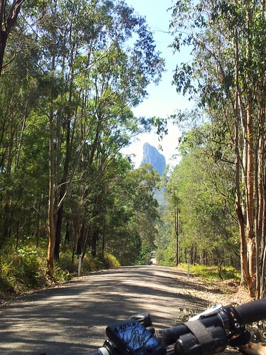
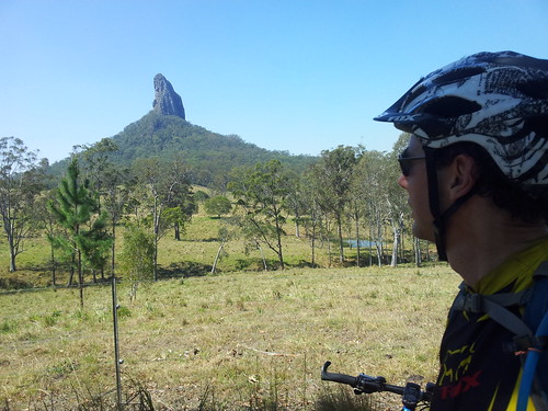
Tour de Glasshouse

Glasshouse Panorama

Well it wasn’t a race, like other Tour de somethings, but it was a tour on a bike, and it was spectacular.

The Glasshouse Mountains looked stunning today in the early summer weather. Whatever happened to Spring? This is a really special place. It’s even more special when you think about the Gubbi Gubbi / Kabi legends of the place as you move around it. Basically they’re an ancient family, with a mum (Beerwah) a dad (Tibrogargan), lots of kids (the other mountains), a baby on the way (Beerwah is looking pretty big), and a long dramatic history. I won’t recount it here, but if you ever visit the place, it might be worthwhile reading up on the legends beforehand.

Mount BeerwahMount Beerwah
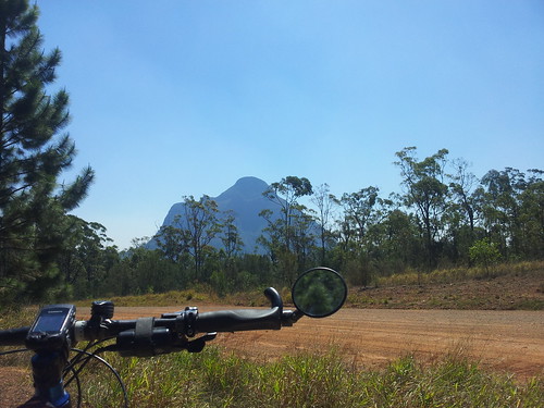
Here’s Mount Beerwah from a couple of different angles. There are some fun downhill tracks near Mount Beerwah. Like many of the dirt tracks in the area they have ruts from the many four wheel drives and motorbikes that use the area, which makes riding it on a mountain bike a bit of a challenge.

CoonowrinCoonowrin
The downhill trails near Mount Coonowrin are really steep too. I was very thankful for good front shock-absorbers. If not for them I’m sure I would have gone over the bars in a couple of places.

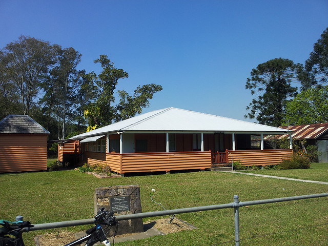
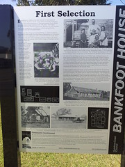
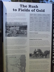
Bankfoot House
I had to ride along the bitumen for about 4km to get to some more trails, and was delighted to come across Bankfoot House. It was built in the 1860’s, and was used as a stage post for the Cobb and Co service for people travelling to Gympie to “strike it rich” in the gold rush. This road is called “Old Gympie Road” and is part of an old road stretching from Brisbane to Gympie through places like Kedron, Petrie, Kallangur, Caboolture… At some places along the route it’s still called “Gympie Road” or “Old Gympie Road”, but you won’t see many stage coaches on it these days.
Bankfoot HouseBankfoot HouseBankfoot House
More info about Bankfoot House.

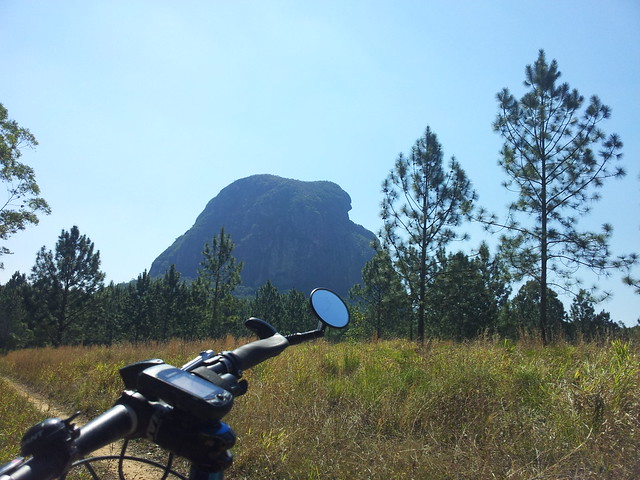
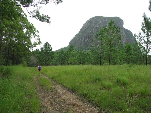
Mount Tibrogargan
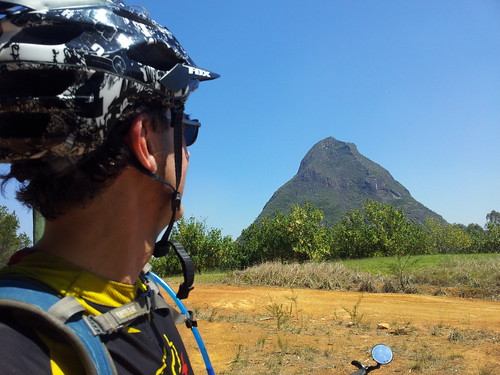
According to Gubbi Gubbi legend, Father Tibrogargan has many children, with one on the way. He reminds me of the cares, responsibilities, joys and sorrows of fatherhood.

With a hunched back like that, you’d think he had a lot of worries!

All up about 38km and 2,400 kcal in just under 3 hours. This one rates 8 out of 10 on the tough-o-meter because of one or two gnarly climbs, and one particularly knuckle-whitening descent near Mount Coonowrin.

10 out of 10 for views though 🙂

Total distance: 37.4 km
Total climbing: 835 m
Average temperature: NAN
Total time: 03:47:19
Download file: activity_114871424.gpx
More data
Glasshouse Tears

Our Team
The Rocky Giant hunches with his face towards the sea
And his heart is filled with aching from an ancient tragedy
That happened in the dreamtime when the land was fresh and young
And his burning anger separated Tibro from his son.

But he holds a darker sorrow that he longs to shout out loud –
Someone else’s precious son is waiting to be found.
And Tibrogargan comforts him: “Peace. You’re not alone –
My family of mountains will help to bring you home”.

The pregnant Mother Beerwah has been waiting to give birth
But it takes an age for mountain babes to rise up from the earth.
And as she waits she worries over all her Glasshouse brood
And hopes that they’ll grow safe and strong (as all young mountains should)

She watches while they frolic all about her feet each day
And she notices another child has joined with them in play.
Another mother’s son is lost: “For how long have you roamed?
Stay here with us until it’s time for you to go back home”

The Kabi tell the story of Glasshouse woes and fears
Why all the creeks flow constantly with bitter mountain tears:
An ancient storm; An argument; A son who went astray –
An absent child; An aching void that never goes away.

The mountain spirits kept their word, their sacred task is done
With ancient love and tenderness for someone else’s son.
And so today the Glasshouse creeks are flowing with fresh tears
For Daniel’s coming home at last: he’s waited nine long years.

Neil Ennis, August 2011


In memory of Daniel Morcombe, and in gratitude for the comfort we can draw from the dreamtime legends of the Kabi / Gubbi Gubbi aboriginal people.

Dams and Rivers

There are two dams near here: Lake Samsonvale, built on the North Pine River; and Lake Kurwongbah built on Sideling Creek.

In the past I lamented the local history that was lost under the water of the dams, but in today’s late winter weather, I delighted in the beauty of the lakes.
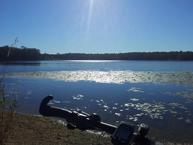
Lake Kurwongbah
“Kurwongbah” was the name the Turrbal people gave to Sideling Creek. It was dammed in the 1970’s to provide water for the local paper plant. The authorities named the resultant lake “Kurwongbah” as well.

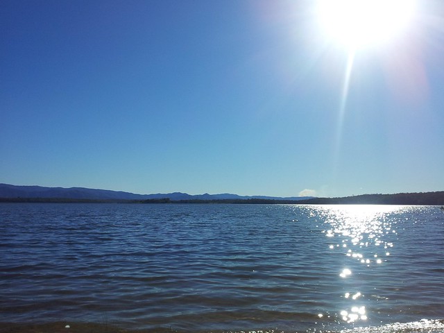
Lake Samsonvale
Lake Samsonvale, looking west towards Mount Samson and the D’Aguilar Ranges.

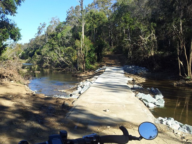
Causeway - North Pine River
This pedestrian river crossing was washed away by the January Floods, and has only recently been repaired. It’s a pleasant way to get across the river from the Pine Rivers Pony Club up to Camp Warrawee. To whoever fixed it, thank you!

I’m so grateful to live in such a beautiful place.