Nanango to Jimna

Brisbane River
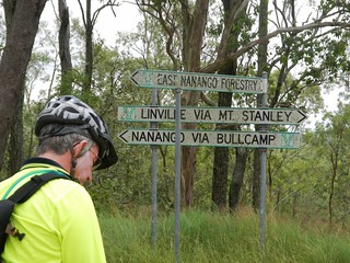
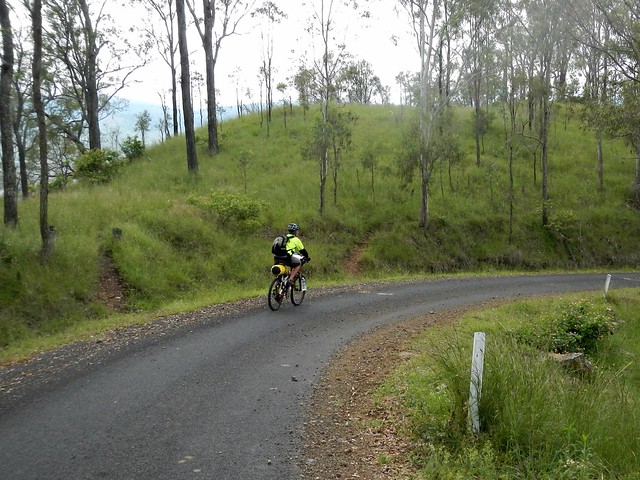
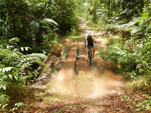
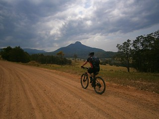
If you traced the Brisbane River as far upstream as you could, you’d end up near Mount Stanley, to the east of Nanango in the South Burnett. Today’s epic adventure was a point-to-point ride starting at Nanango, rolling down the slopes of Mount Stanley and following the upper reaches of the Bribane River to Linville, before heading up the Conondale Range to the small forestry town of Jimna.
Jimna Visitor Information CentreLocal Knowledge
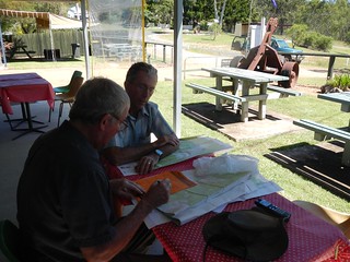
Before setting out we met with Dave Wright, a Jimna community leader who runs the local visitors information centre. He’s lived here since the 1940’s when his father was a timber worker, so Dave is well-acquainted with the forest trails in this part of the world.

I left my van at Jimna, and got a lift in Eric’s car to Nanango where we stayed the night, so we could get an early start the next day.
Cheers!Ready to Go
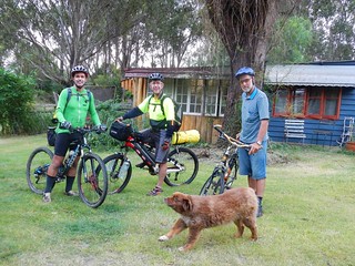
We stayed at Uncle Bobs Cottage – a B&B in East Nanango on the edge of the State Forest. Our hosts, Rod and Celia Price run an organic vineyard there, and kindly let us try some of their delicious Verdellho.
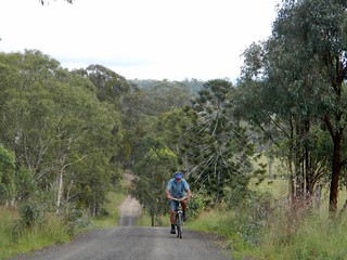
RodEast Nanango Forest
Rod decided to dust off his old mountain bike and ride with us part of the way up the nearby hills. His property is surrounded by a network of trails through local hoop pine forests, so his B&B is an ideal base from which to explore the local forests – especially if you like good wine 🙂
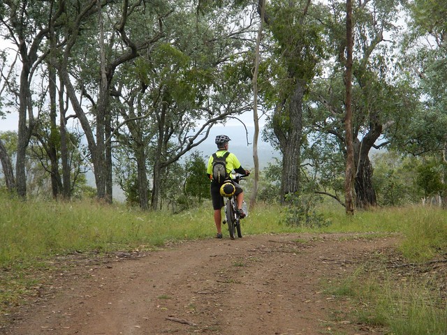
Enjoying the View
Enjoying the ViewSomewhere near Nanango
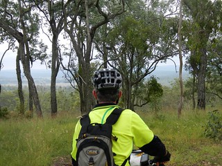
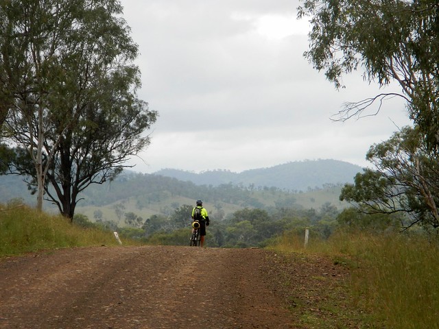
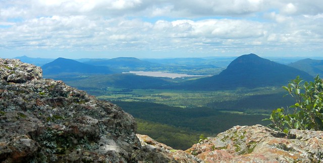
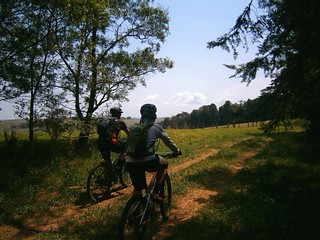
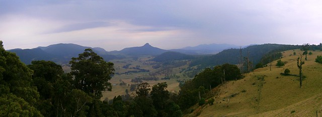
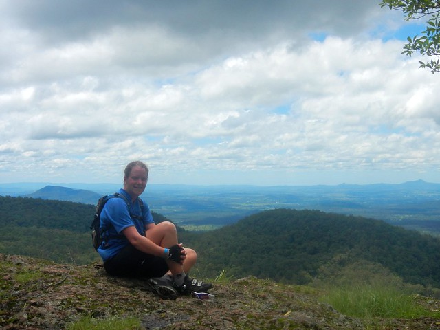
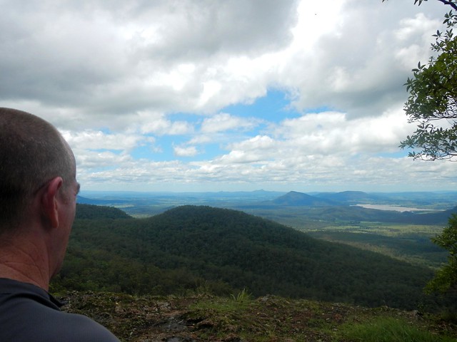
After leaving Rod, we slowly made our way towards the edge of the Great Dividing Range which gave us some great views of the South Burnett.
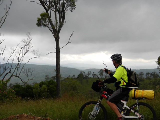
Enjoying the View
Mount Stanely Road
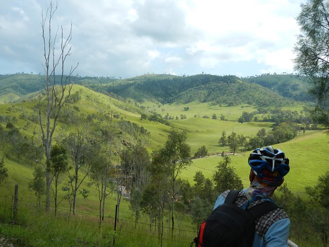
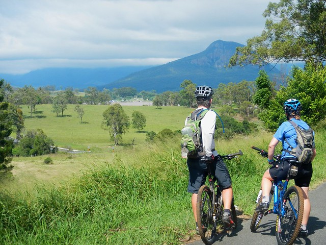
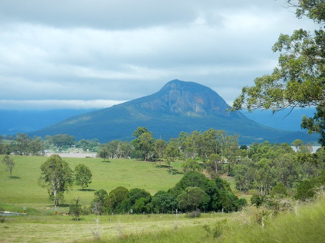
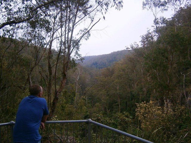
Eventually we were able to look down into the valley surrounding the upper reaches of the Brisbane River near Mount Stanley, before enjoying a long steep descent down to the river.
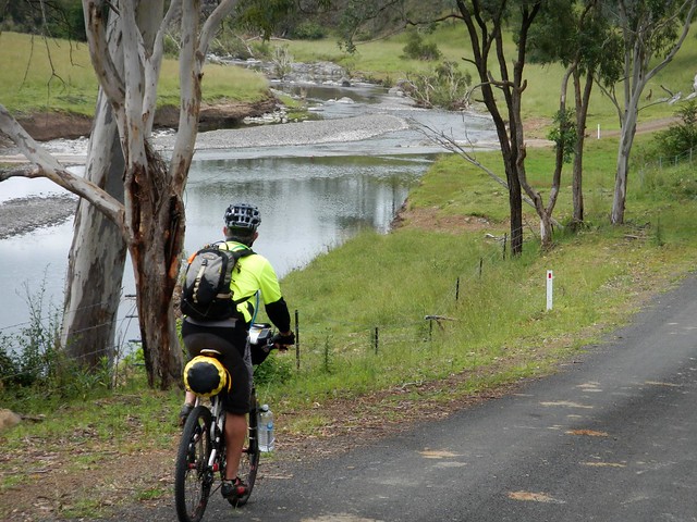
Brisbane River
Brisbane River
It’s hard to believe this is the same muddy brown river that meanders through the city. Up here it’s pristine, crystal clear, and delightful.
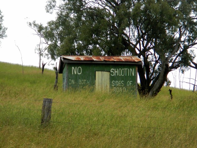
"No Shootin"
Enjoying the view
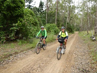
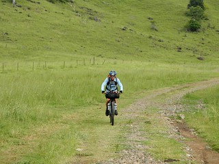
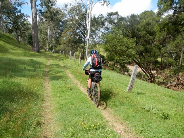
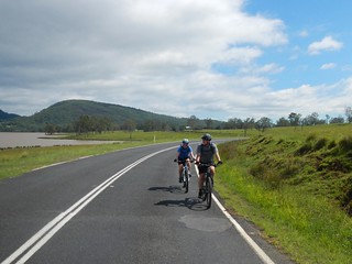
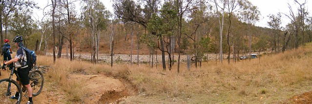
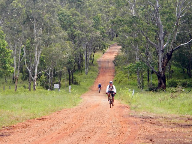
The road follows the meandering course of the river, undulating over gentle hills. It’s an easy ride with pleasant views.
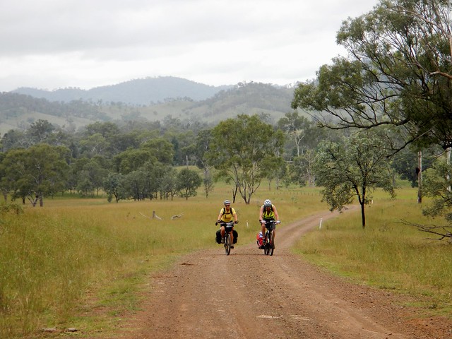
Andrea and Wayne
Andrea and WayneAndrea and Wayne
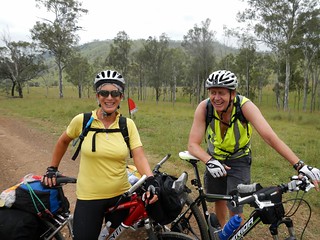
We were pleasantly surprised to meet a couple of touring cyclists, Andrea and Wayne from Bli Bli who were making their way up to Nanango. After the steep descent we’d already made down Mount Stanley Road, Eric and I could only wonder at what sort of hard work they had ahead of them to get up the range.
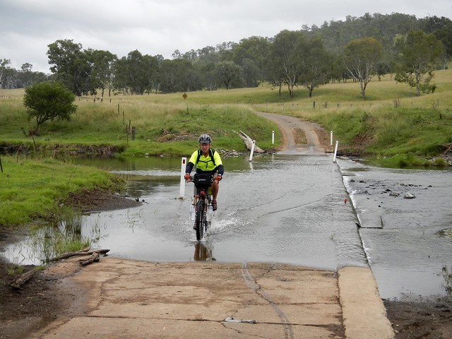
Brisbane River
Brisbane River
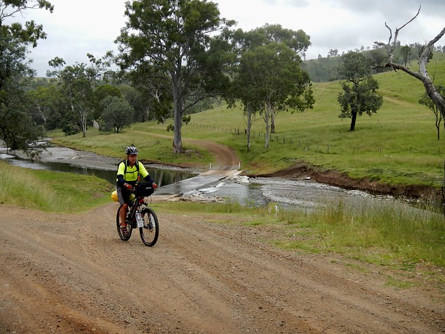
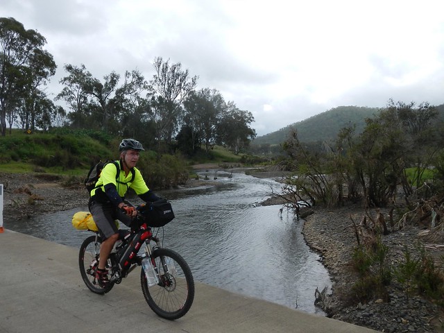
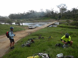
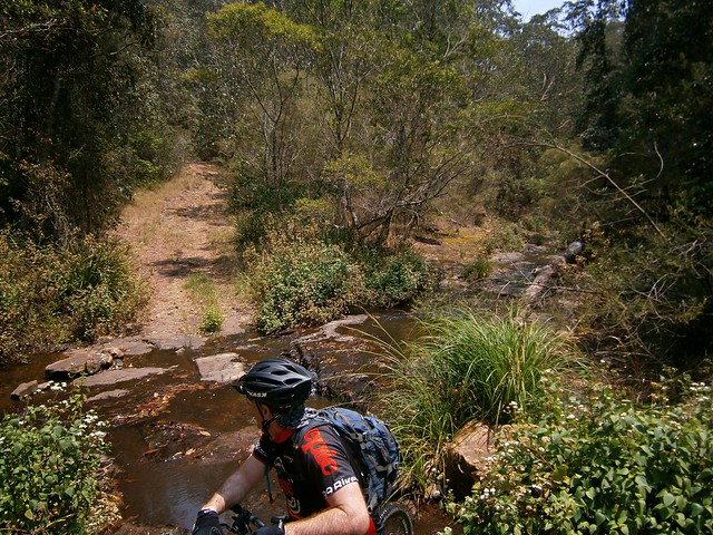
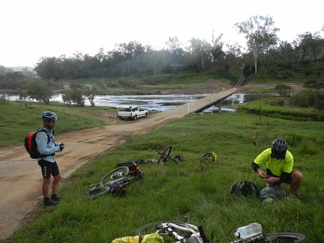
We crossed the river at least a dozen times – sometimes over dry causeways, sometimes through water. This is one place you wouldn’t want to ride after heavy rain.
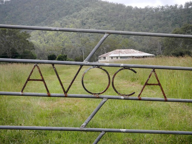
DSCN3047_copy
DSCN3045_copyWhere to?
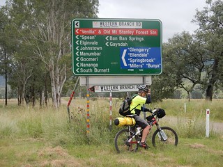
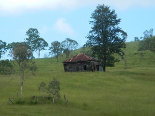
We passed a few old buildings and historic sites which hinted clues about the history of the district. When we finally reached the junction of the East and West branches of the Brisbane River, I was surprised at how many different places you could get to from this remote spot.
Brisbane RiverBrisbane River
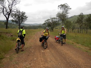
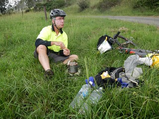
We stopped for lunch by the Brisbane River near where it meets with Monsildale Creek. Eric was carrying a lot of gear because he was camping that night. This meant he was able to boil the billy and make us a hot drink. Our friend Rients joined us here too. He had ridden up from Brisbane the day before, via Esk and Moore (about 150km), and was also planning to camp with Eric that night.
Monsildale Creek
Monsildale RoadMonsildale Road
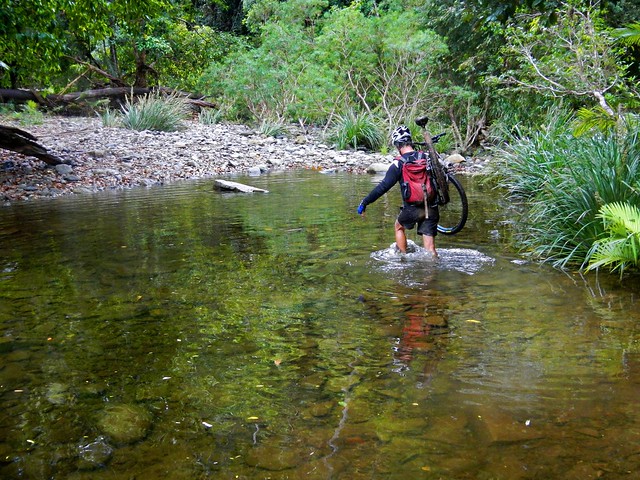
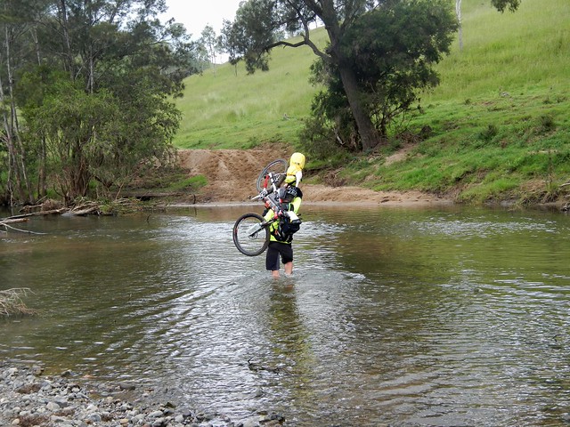
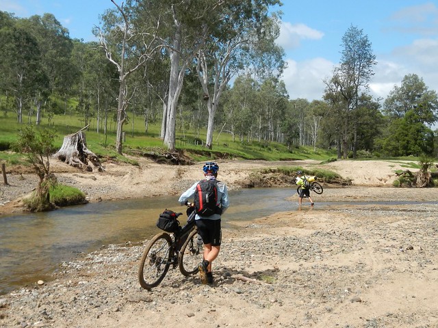
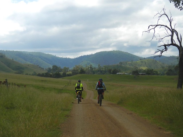
From here we rode eastwards along Monsildale Road. The road follows Monsildale Creek, and we had to wade across it several times. At one deep point Eric was up to his chest in water as he carried his bike across. I let him cross first, and watched carefully to make sure it was safe 🙂 Eric’s bike was heavily laden with overnight camping gear, so it was hard work hoising it above his head and wading across the creek.
Monsildale Creek
Monsildale Road
As we headed east, the “road” devolved into a track until it was quite clear we were riding along someone’s very long driveway.
Gillyland Farm
Gillyland FarmGillyland Farm
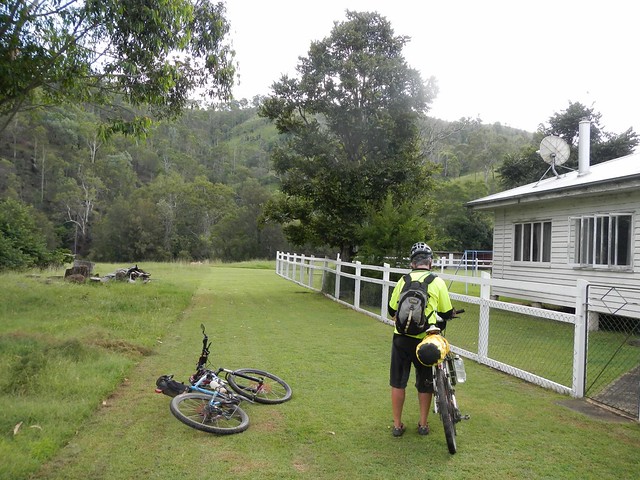
We eventually reached the farmhouse. This cattle property is owned by the Gillyland family, who kindly let us ride through. We said “g’day” to family elder, Stumpy, who was cleaning a huge fish out the back. “So you’re heading to Jimna, hey?” he asked. “You’ll have to go up the side of Mount Buggery to get there” he commented – hinting about the steep climb we had ahead of us.
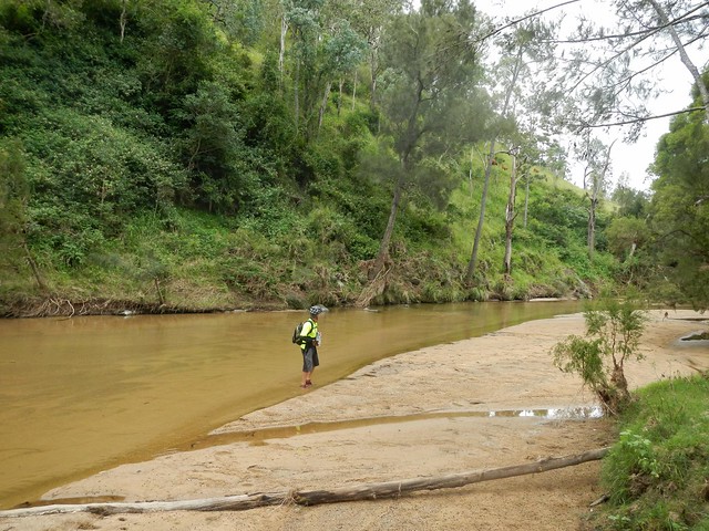
Monsildale Creek
Monsildale Creek was crystal clear as we rode beside it. We took this opportunity to re-fill the water bottles before the climb.
Monsildale Creek
Monsildale Creek
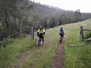
Our track gradually morphed from a pleasant country road to a steep winding forestry track as we slowly made our way up the Conondale Range. “Mount Buggery” I kept muttering to myself as I remembered Stumpy’s words. It definitely was hard work after the distance we already had put in.
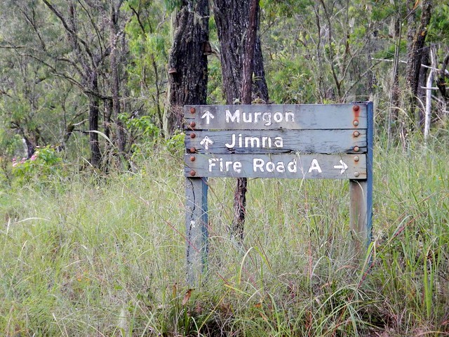
Jimna / Murgon
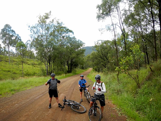
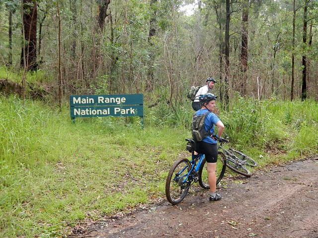
At this stage, Rients and Eric motored up the hill with their super-human legs. I slowly followed wondering what sort of diesel engine these guys were carrying. A worn out old foresttry sign gave me hope that our destination wasn’t too far away.
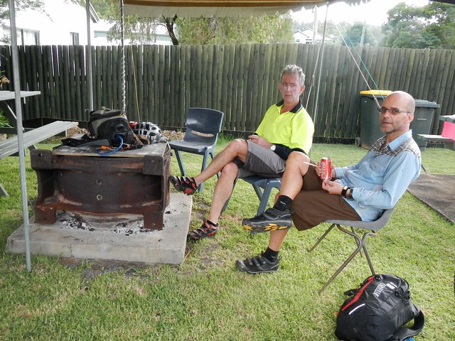
Resting after the Ride
Dave WrightCharlie
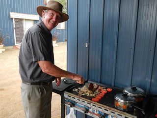
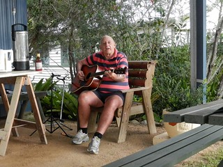
And before we knew it we had arrived in Jimna. Dave was busy at the barbequeue, frying up hamburgers for us, and Charlie entertained us with an old song, “Sweeney” by Henry Lawson.

We rode 90km in just under 9 hours including breaks. I burned almost 3,500kcal and we climbed almost 1,800m. This was a tough ride. If you’re doing the entire trip from Nanango to Jimna, I’d rate it 9 out of 10 on the tough-o-meter, because of the steep climb at the end, the many creek crossings, and the logistics of getting enough food and water to last the distance.

If you take the easy option and ride from Nanango to Linville, I’d rate it 7.5 out of 10.

Either way, this is not a ride to do after heavy rain, and as a point-to-point ride, it requires planning to get to and from the end-points.

Thanks Eric and Rients for a great ride.

Thanks Rod and Celia for your warm hospitality.

Thanks Dave and Charlie for the delicious food, and stellar entertainment 🙂

And thanks to the Gillyland family for letting us pass through their beautiful property.

Total distance: 93.28 km
Total climbing: 2775 m
Average temperature: 21.9
Total time: 08:44:57
Download file: activity_290556855.gpx
More data
The Head

Crossing Koreelah Creek

“Eighty percent of success is just showing up” – Woody Allen

In the midst of the Queensland wet-season, it would be tempting to get up at 5am, look out the window at the rain, and decide to go back to bed for another couple of hours. But instead, I recalled Woody Allen’s famous words, and decided to “turn up” and hope for the best.

The aim of todays adventure was to ride from Moogerah Dam up to the headwaters of the Condamine River at “The Head” via Koreelah National Park. I also wanted to fill in another missing link on my map. Eric and Becca kindly agreed to indulge yet another hare-brained whim, and so we set off full of hope from Lake Moogerah in the drizzle.
Croftby Road
On long cross-country rides like this, I prefer to use non-paved roads as much as possible, so we headed south towards the NSW border along Croftby Road.
Great Dividing Range
The views of the Great Dividing Range to the west were stunning, but also served as a gentle reminder that we had a lot of climbing ahead of us. The Condamine River flows westwards into the Murray-Darling basin, so to get to its headwaters, we had to get over the Great Divide. And that meant a lot of hills.
Reynolds Creek
We also wanted to check out the “Bicentennial National Trail” which runs through this region. It’s a mammoth 5,000km trail that runs from Cape York in Far North Queensland to Healsville in Victoria. It covers some of the toughest terrain in Australia, and we were lucky enough to be riding some of it today. The crossing at Reynolds Creek was flooded, but we were able to be able to avoid the flooded crossing by passing a couple of kilometres to the east.
Carney's Creek Road
A few kilometres of flattish terrain lulled us into thinking this was going to be an easy ride, until we hit Carney’s Creek Road. Instead of the 1.8km climb that the cruel sign would have you believe, the climb here is actually about 11km and ascends about 600 metres into the cloudy rainforest of Koreelah National Park.
Rabbit Proof FenceBorder Marker
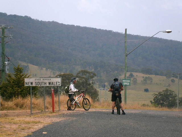
After what seemed like hours of climbing, we finally reached the NSW border. A rabbit-proof fence stretches for most of the length of the 1,300km border between NSW and Qld – part of a vain attempt to keep the voracious animals out. The fence winds its way over mountain ranges, through thick rainforests, and across wide plains. It’s also a tangible sign of the work done by surveyors Roberts and Rowland in the 1860’s as they marked out the imaginary line between the two states. These and other early surveyors like Oxley, Dixon, Stapylton, Warner, Delisser and Lavelle were the true explorers of the Austrailan wilderness – blazing trails that we are still able to follow more than a century later.
Crossing Koreelah CreekCrossing Koreelah Creek
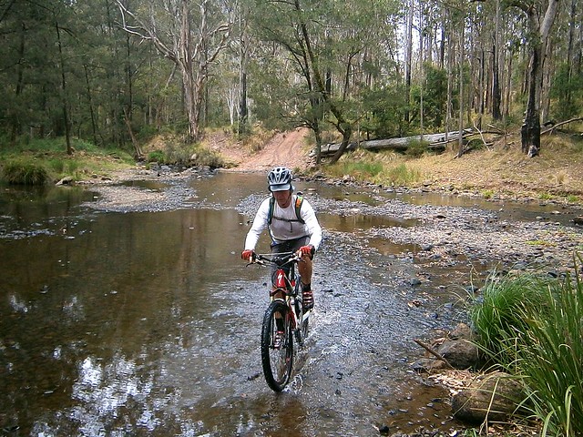
As we rode, the rain continued to increase in intensity. By the time we got to Koreelah Creek the crossing was flooded and we had to wade through. We took it carefully, making sure no-one slipped in the fast flowing water. Just to be on the safe side, Eric carefullly waded into the water first, to check that it was ok to cross.
Head Gate
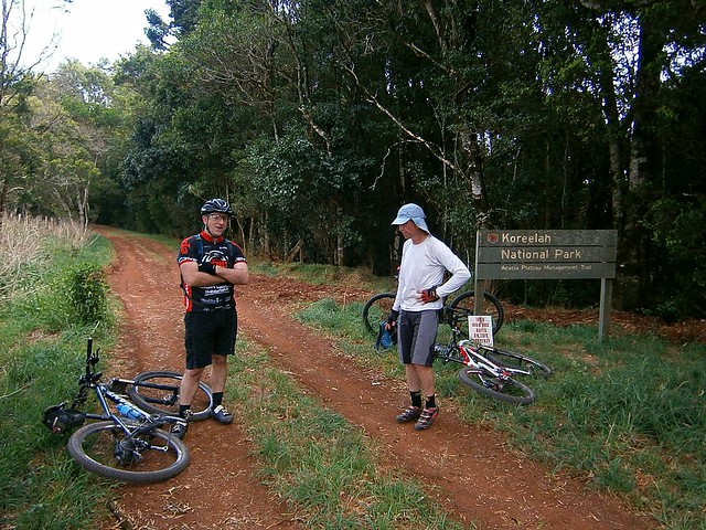
After yet another long climb, we made it to the top of Head Gate Road, to the border crossing known as “Head Gate”. The old shed was a perfect spot to get out of the rain, dry off, and have a bit of lunch.

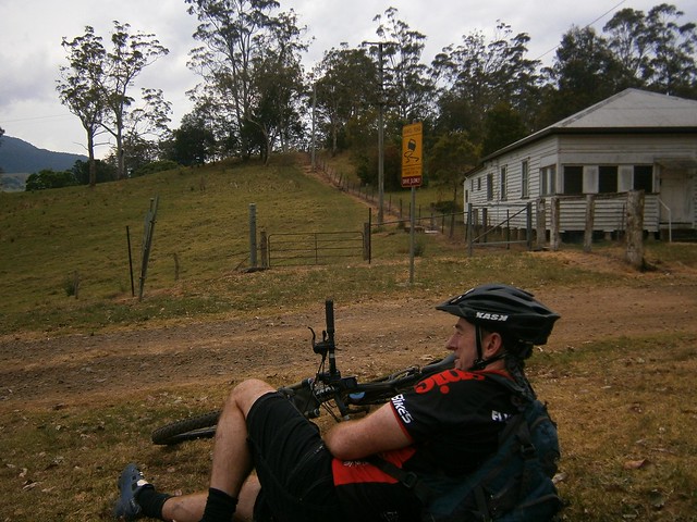
Normally, this spot would have been the most scenic of the ride, with views to the west of Condamine Gorge with craggy cliffs rising on either side, and Mount Superbus towering in the distance. Today it was rainy and foggy, and we could see nothing, so we started the long descent down Head Road…
Head Road
Head Road was closed to traffic. It was strewn with fallen trees, boulders and land-slips. Thankfully we were able to navigate around these obstacles with our bikes. It would have been impossible in a larger vehicle. As mountain bikers, we coined a new phrase for this sort of damage. It had been “Goat Tracked” – a reference to how damage to the Goat Track between Highvale and Mount Nebo had rendered it impassable to most vehicles except mountain bikes – not necessarily a bad thing 🙂
Teviott Brook
At the bottom of Head Road we had to contend with the swollen Teviott Brook. It crosses the road several times, and we had to carefully make our way across several flooded causeways.

I think it’s important to point out that wherever possible I don’t cross flooded creeks. It’s dangerous. It’s not something that we set out intentionally to do. There was no other realistic option for us, and we only crossed when we were certain it was safe to do so.

All up we rode about 90km in 7.5 hours including breaks. We ascended just under 1,800m and I burned 4,200 kcal. Taking the weather into account, the obstacles, and the tough terrain, this one deserves a rating on the tough-o-meter of 10 out of 10. Not for the faint-hearted. In cooler dryer weather it would be slightly easier and would probably rate 9 out of 10.

Total distance: 89.34 km
Total climbing: 1832 m
Average temperature: NAN
Total time: 07:26:58
Download file: activity_279117272.gpx
More data
Spicers Gap

Mount Greville
The aim of today’s ride was a reasonably long cross-country ride from the Southern Queensland town of Boonah, to Spicers Gap on the top of the Great Dividing Range and back again. It was challenging but had the benefit of being enjoyable despite recent wet weather.

Tunstall RoadOn the Road
We left Boonah and made our way towards Lake Moogerah via some quiet back-roads. Most of the country around Lake Moogerah is hilly, so we had to work reasobly hard. But it’s worth the effort. The views are amazing!

Mount Greville
The Ugarapul Aboriginal people called this area “Moojirah” meaning “Place of thunderstorms”. When Reynolds Creek was dammed in 1962, the local authorities named the new dam “Moogerah” after the local aboriginal place name. When I saw the clouds brooding over Mount Greville in the distance, I agreed with the Ugarapul. It’s a perfect name 🙂

Lake Moogerah Road
Our track took us around the back of the lake and up towards Spicers Gap Road. We took it easy on the undulating tarmac and gravel roads, aware of the impending long climb up the Great Dividing Range.

Spicers Gap Road
Spicers Gap RoadSpicers Gap Road
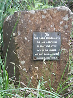
Spicers Gap road has been used for thousands of years by Aboriginal people as a (relatively easy) way of getting over the Great Dividing Range. In the 1840’s, stockman Henry Alphen discovered it was a much easier route for moving bullock drays than nearby Cunninghams Gap. So in 1847, with the help of convict labor, the government built the road along the ancient Aboriginal pathway. It’s steep – rising 600 metres in about 8km. That makes it a perfect mountain biking route 🙂

Pioneers Graves
Moss's WellPioneers Graves
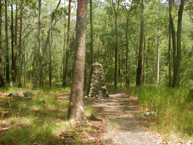
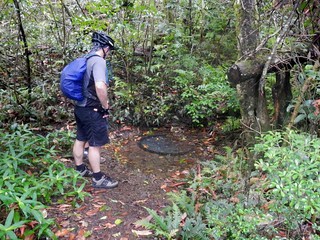
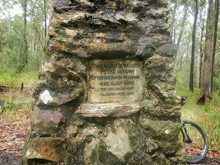
On the way up, there are some historical sites that provide a welcome break from the long climb, including a small cemetery containing the graves of several 19th century pioneers, and a curious freshwater spring, known as “Moss’s Well”.
Enjoying the view
The “highlight” for me was the wonderful view at the top of the long climb.
Enjoying the view
Enjoying the view
Enjoying the view
The views to the east are stunning. It was a perfect place to stop for a bite to eat, take in the panorama, and cool off.
Spicers Gap Road
And the up-side of any long climb on a bike is that you get to enjoy a long fast descent back down the hill. Riding down the steep, winding, muddy road with flecks of clay flying up into my face, hitting speeds of 65 km/h was a lot of fun.
Mount Alford Pub
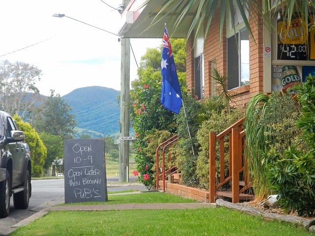
Thoroughly exhausted, we made our way back to Boonah via the small town of Mount Alford. The local pub beckoned to us with its proud boast that it has longer opening hours than neighboring Boonah. We couldn’t resist. Hard work on a bike makes a drink at a pub taste so much better.

I’m grateful to Becca, Eric and Tony for agreeing to ride with me on yet another whimsical day of adventure and exploration on the bike. And especially grateful to Eric who let me “slipstream” behind him for some of the ride when I was feeling tired. We call it “getting a tow” because sitting behind a stronger rider makes so much difference when you’re tired.

We rode almost 80km in 6.5 hours including breaks. During that time we climbed about 1,300m, and I burned about 3,700 kcal. This is a tough ride. You have to first ride 40km, and then do a long 600m ascent up a dirt track, made more difficult by the soft wet surface. I’m rating this one 9 out of 10 on the tough-o-meter. On a hot mid-summer day it would be even harder. In dry winter weather I’d probably rate it 8 to 8.5.

Total distance: 79.28 km
Total climbing: 1382 m
Average temperature: NAN
Total time: 06:26:57
Download file: activity_276466930.gpx
More data
Update

While at the State Library reading random old copies of the Moreton Bay Courier from the 1840’s I stumbled on this article about Spicers Gap Road. Click on the image for a larger more easy to read version.

Moreton Bay Courier 1 May 1847

The Bump Track

The Bump Track
We were staying at Palm Cove between Cairns and Port Douglas to watch the Total Solar Eclipse, which provided an ideal opportunity to explore the spectacular rainforest inland from the coast.

Being an adventurous soul, I thought I’d just hop on the bike and follow my GPS, but I’ve learned to listen to the wisdom of my wonderful wife who insisted I ride with someone who actually knew the area. That was how I met Dan Foley from Dans Mountain Biking. Dan has been mountain biking in Far North Queensland for over twenty years and knows the trails intimately. He operates guided tours by mountain bike through places like Cape Tribulation, Daintree National Park, Bloomfield Track, Atherton Tablelands and Mulgrave Valley. Today he took me through Mulgrave National Park and “The Bump Track”. The rainforest is full of things that eat, sting, bite, slice, and/or kill you, so I’m really glad Dan was there to keep me out of harms way.

Funnily enough, while thinking of all the things that could chew me up, we started our ride from the car park at Hartleys Crocodile Farm at Wangetti.
Quaid RoadQuaid Road
The first part of the ride was up Quaid Road – a disused development road which, over the space of 5km, climbs 500m up from Wangetti on the coast into the rainforest. It was built by property developer George Quaid in the 1980’s just before the area was declared a wet tropics world heritage area. So (thankfully) George didn’t get to carve up the rainforest. The road is gated off – so motor vehicles can’t use it. But it’s a really easy way to get from the coast into the mountains by mountain bike.

Mowbray National Park
Once we got into the rainforest (emphasis on “rain”) it started raining. Dan took me along the “twin bridges” track – one of the many management trails in the area.

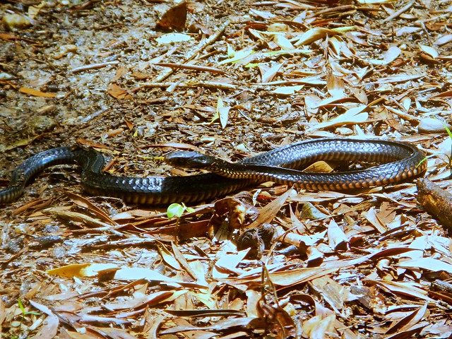
Red Bellied Black Snake
Not far in, we encountered what I thought was a dead snake. “How sad” I thought as I sidled up close to it to take a picture. Dan suggested we give it a wide berth in case it was still alive. I listed to him, and once past it, we poked it gently with a stick. To my great delight the Red Bellied Black Snake (Pseudechis porphyriacus) reared up at us. It was a alive! And so was I for listening to Dan. Those snakes are venomous and can give you a nasty bite.

Wait a while
Wait A WhileWait a while
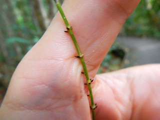
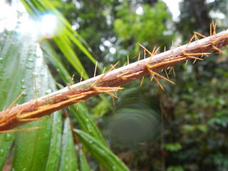
A little further along the track, and Dan stopped me again. This time it was for a Wait-A-While or Lawyer Cane (Calamus australis). This is a species of climbing Palm Tree. It drops long thin spike-covered tendrils down to the forest floor below. They’re tough and sharp. If you ran into one (or tried to ride past one on a bike), the sharp tendrils could inflict horrible damage. Dan told me stories of motor cyclists losing limbs to the plant while speeding through the forest on a trail bike. The dangerous thing is that the tendrils are so thin that they’re nearly impossible to see. And with the rain pouring down, and glasses fogged up, it would have been really easy for me to get snagged on one (or two, or three). Thankfully (for me), Dan rode in front. He hit the vines first. I just made sure I took notice when he pointed them out to me.

Aborigines used the mature cane from the vine as struts to build shelters. They wove the spiky tendrils into snares and fish traps. And by cutting the thick canes they were able to collect drinking water when needed. A one meter long section of the vine, when cut, could supply over a cup of drinkable water.

Gympie Gympie (Stringing Tree)
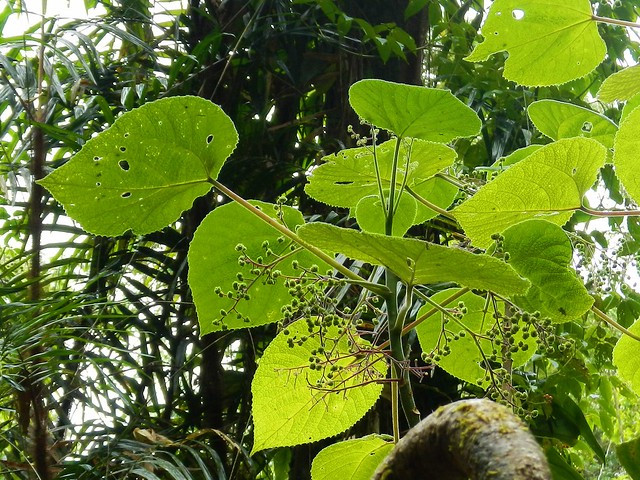
Another nasty surprise in this part of the world is the Gympie Gympie or Stinging Tree (Dendrocnide moroides) – a highly toxic plant that can inflict severe pain at the slightest touch. The cure is duct tape or leg wax applied to the affected area of skin to pull the thin spikes out. The worst thing you can do is rub the area or apply water to it.

Pick a Plank
We slowly continued our ride northwards over several log bridges which crossed quiet creeks. The water is crystal clear and is good to drink as well. The trick with log bridges is to make sure you don’t get your wheel stuck in the gap between the logs, so it’s important to “Pick a plank” and stick to it, or run the risk of flying over the handlebars 🙂

Spring Creek
Bridge Out
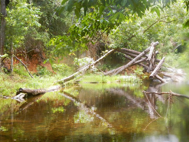
The “Twin Bridges” track is named after two large log bridges which used to span Spring Creek. Floodwaters destroyed the bridges a while ago, and all that is left is a large pile of logs. So we had to wade across the creek in thigh deep water. Thankfully there were no crocodiles 🙂
The Bump TrackMuddy Me
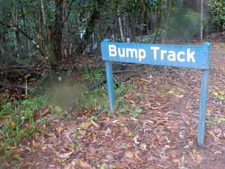
Eventually we reached the top of “The Bump Track”. This track is part of the Bicentennial National Trail and forms part of the route that Cobb & Co took between Port Douglas and Georgetown in the 1880’s. The 322km trip trip used to take five days. When the coach got to the Bump Track, all the passengers had to get out and walk, while the horses dragged the stage coach up the steep hill.
The Bump Track
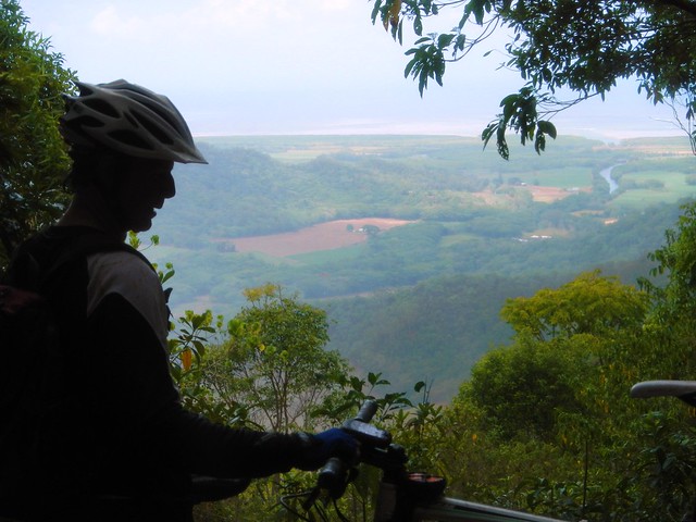
Today we were going DOWN the Bump Track, not up it. At its steepest, the track drops over 300 metres in 1.8 km. My brakes were totally cooked by the time we got to the bottom. So I was glad to stop halfway down to enjoy the view of the Mowbray River to the east, and let the brakes cool down.
Rex Lookout
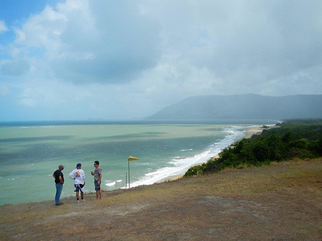
Once at the bottom, we made our way back to the Captain Cook Highway near Port Douglas and made our way south along the bitumen. This must be one of the most scenic highways in the country. On the way back we stopped at Rex Lookout to enjoy an amazing panorama of the coastline to the south.
Beware of the Crocodile

All up we rode 55km in just over 5 hours including breaks. I burned 5,000 kcal as we ascended a total of 1,250m. On the tough-o-meter I’d rate this ride about 7.5 out of 10 for difficulty, but 10 out of 10 for fun and stunning views.

If you’re new to the area, DON’T do this ride by yourself. Get someone who knows the area, like Dan Foley. When you’re taking on a tropical rainforest with “Wait-A-While” vines, Gympie Gympie plants, Black Snakes, Crocodiles, and log bridges with treacherous gaps, a competent guide will ensure that you arrive home happy and in one piece.

Total distance: 56.06 km
Total climbing: 1304 m
Average temperature: NAN
Total time: 05:12:16
Download file: activity_242815178.gpx
More data
Condamine Gorge

Condamine Gorge
“The Head” is a spectacular spot up in the Great Dividing Range of South East Queensland, near the border. It gets that name from the fact that it forms the headwaters of the Condamine River and the Murrary Darling Basin. Starting as a trickle on the slopes of Mount Superbus, it flows through Condamine Gorge joinng up with the Balonne River, the Darling River and eventually the Murray River before draining into the Great Australian Bight near Adelaide in South Australia.

Today we were lucky enough to ride through some of this beautiful country in a loop from the small town of Legume, in Northern NSW up into Acacia Plateau, then along the Border Fence to “Head Gate” and back to our starting point via Condamine Gorge (also known as Cambanoora Gorge).

The traditional Aboriginal owners of this area are the Githubal, Kambuwal and Jocumwal people.
Acacia Plateau
For the first hour of our journey we took a long slow climb up onto Acacia Plateau, while we battled swarms of flies. Thankfully Eric had the foresight to pack some insect repellant which kept the pesky insects away from our faces, allowing us to enjoy to majestic open blue-gum forest.
The Border Track
The Border TrackThe Border Track
The rocky road eventually rises up to the “Border Track” following the rabbit-proof fence along the border between Queensland and New South Wales. At an altitude of over 1,000 meters, this section has thick rainforest on the NSW side of the fence and open farmland on the Qld side. I’ve seen similar scenarios at other places along the border (such as The Border Ranges) and it makes me wonder about the relative priorities of both states in their early years, and the importance of land-clearing to Queensland in the 19th and early 20th centuries.
Trough Creek
From the border track we dropped about 600 metres in altitude in the space of 8km. I don’t have any pictures of it since I was clinging on to my handlebars for dear life while I bounced down a rocky track, dodging stray logs and precarious ruts. The Trough Creek descent is a mountain bikers delight, but it’s rough. You need good suspension, and a reliable wheel / tyre combination. I suspect riding this on a cheap bike would result in pinch-flats and crashes.

I got to the bottom yelling out “Wow, that was awesome!”
Koreelah Creek
Koreelah Creek
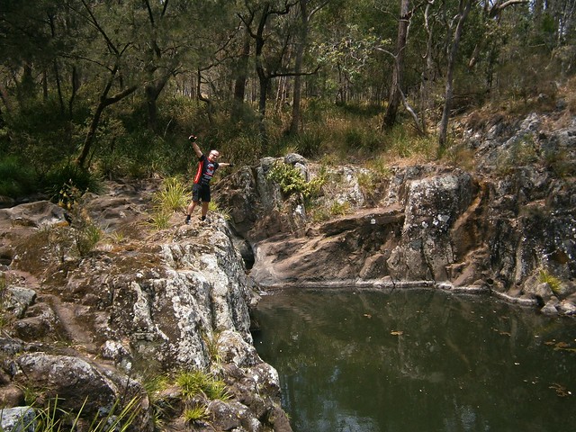
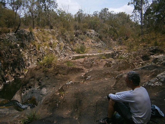
A few minutes later, after bouncing down some more rocky roads, we eventually reached the rock pools at Koreelah Creek, where we stopped for lunch.
White SwampWhite Swamp
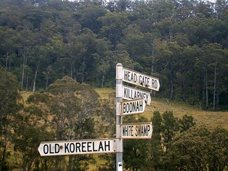
“White Swamp” marked the lowest elevation point of the ride. From here we faced another long slow climb up to “Head Gate” – the Qld / NSW border crossing.
Head Gate
Rabbit Fence
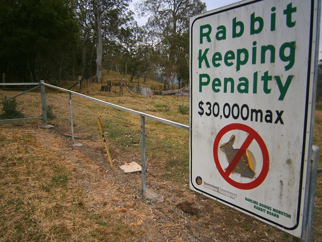
“Head Gate” is a secluded border crossing in the middle of nowhere. It boasts a dilapidaed house, and a shed. If you stand in NSW and look north to Qld, a huge sign tells you how un-welcome rabbits are. In fact, if you try to keep rabbits in Qld, you’re liable for a $30,000 fine. If you stand in Qld and look south, you’ll see a similar huge sign wich tells you you’re not allowed to take livestock into the state along that road.

For us it was a welcome place for a short break. It was also a reminder that we had stopped our long climb and could look forward to some more descending.

Condamine Gorge
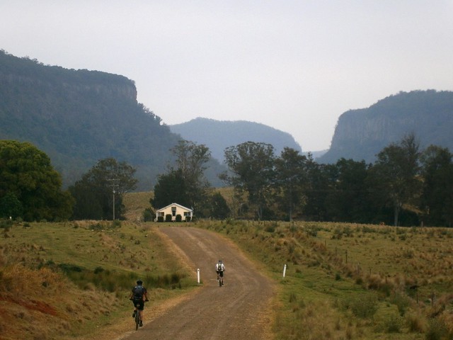
As we rode along Condamine River Road, we enjoyed some amazing views of the Gorge.
Condamine Gorge
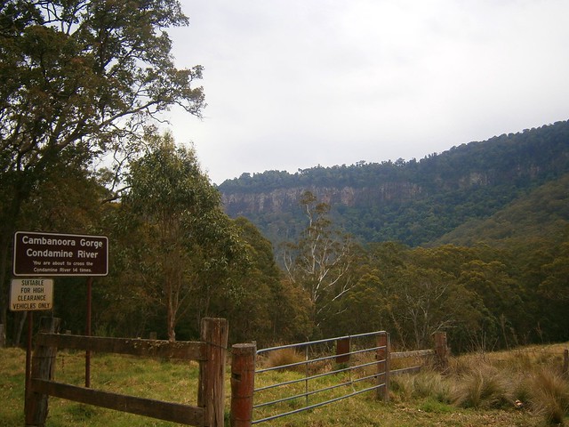
Like the sign says, if you go along Condamine River Road you need to be prepared to cross the river 14 times. And they’re not just shallow little crossings, they’re deep, and you’re definitely going to get wet.
River Crossing Condamine Gorge
We rode through several crossings. Eric showed us how it was done. We waded through the rest of the crossings, carrying our bikes. Normally I hate getting my feet wet. On this trip, I just accepted the fact that it was going to happen, and didn’t worry about it. I actually discovered that it’s not that bad riding in wet feet – provided it happens towards the END of the journey and not the start 🙂
Crossing the Border
Once we got to the end of Condamine River Road, we headed south along the bitumen, across the border again, and back to our starting point at Legume.
Queen Mary Falls
Queen Mary FallsQueen Mary Falls Lookout

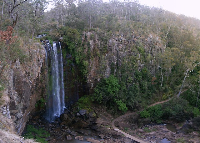
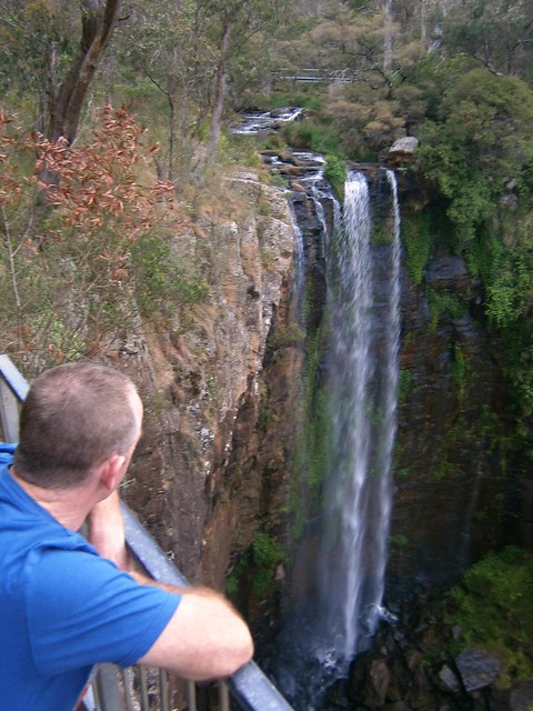
Our route took us in a big circle, in the middle of which was Queen Mary Falls. Since we didn’t actually ride to that point, we decided to drop by in the car on the way home. The falls are only a five minute walk from the car park on Spring Creek Road, so it was worth the detour.
Carrs Lookout, "The Head"
We also stopped at Carrs Lookout where we were gobsmacked by the views of Mount Superbus and Wilsons Peak.

What a stunning way to finish the day.

All up we rode about 64km in 6 hours including breaks. We ascended 1,450m and I burned 3,700 kcal. The ride has two tough climbs, one sketchy descent and numerous river crossings. It also involves a three-hour each way drive from Brisbane. I’m giving it 9 out of 10 on the tough-o-meter. You need medium to high fitness, medium skills, a good bike, and some good riding buddies. Be careful after rain as the river crossings may be impossible to ford – which means a long detour. Take lots of water in Summer – it is hot work. Take lots of snacks.

Total distance: 64.6 km
Total climbing: 1518 m
Average temperature:
Total time: 05:51:20
Download file: activity_237394912.gpx
More data

Seven Mile Diggings

Yarraman Creek

Eric left the best till the last day on our overnight group ride at Yarraman. Five of us traced out a huge 80km loop along some old coach routes before rolling back into town along the remnants of the former railway line.
Dog Gate
The first part of our trip took us through Gibson State Forest north towards Nanango along Din Din Road. At several places we had to open barbed wire gates to continue. A barbed wire gate (or “dog gate”) is a simple gate where the wire is wrapped around a removable post which is then latched on to a fence post by a loop of wire. They’re easy to make, much less expensive than a fancy gate, and easy to open and close (if you know what you’re doing). We decided Eric knew more than the rest of us, so we let him handle the gates 🙂

Old Yarraman Road
Yarraman Creek
The track eventually merged with the old coach route along “Old Yarraman Road”. It’s a gazetted road, and was one way the horse-drawn coach would travel between Yarraman and Nanango. After riding it, I don’t know how they managed it. But it is a lot of fun to bounce along it on a bike.

Bumpy Ride
Mountain Bikes normally have suspension on the front to soften the ride. Howard’s bike didn’t have any suspension. The advantage is that the simpler setup makes the bike lighter and easier to ride. The downside is that you have to work harder to stay on the bike on bumpy sections of track. The only suspension Howard had on this section was his knees and elbows.

Yarraman Creek
Yarraman CreekYarraman Creek
Once we reached Nanango we turned south towards the Seven Mile Diggings along another coach route: Old Esk Road. Alluvial gold was discovered here in 1867. That’s one of the main reasons the coach road passes this way.

Cooyar Creaak
Eventually Old Esk Road crosses Cooyar Creek and becomes “Old Coach Road”. The water was pretty deep. I don’t like getting my shoes wet. So unlike my tougher riding buddies, I took my shoes and socks off before wading across the creek.

Summit - Old Coach RoadOld Coach Road
Old Coach Road is a rough steep track. It’s hard work to ride up. In several places all of us had to get off and push. We were pretty tired by the time we reached the top, so we took the opportunity to have a rest and a snack.

Staines Rd Trail, Taromeo
Staines Road is a great little track than leads south from Taromeo towards the forestry town of Benarkin. One feature of the track is this impressive cordurouy bridge made of logs – a simple way to get across a boggy creek.

Eidelweiss Cafe, Blackbutt"Butt Art"
Eventually we rolled into Blackbutt along the rail trail and stopped for lunch at a local cafe. I couldn’t resist capturing the sign above Erics head. Can you read it?

Blackbutt - Yarraman Railtrail
FarmhouseGilla Station
The last section of the ride was an easy but pretty ride northwards along the old rail trail. The railway tracks are long-gone, but there are plenty of hints of this trails former life.

Old Bridge Pylons
Cooyar CreekBlackbutt - Yarraman Railtrail
The old bridges are missing from the railway line in a few places. I think this makes the ride more interesting. Some of the creek crossings are gorgeous.

Brake Pad
Eric found an old train brake pad. I think he found it amusing to compare it with the brake pads on his bike. The old metal pads would rub directly agains the train wheels to slow it down. This kept the wheels clean, but it made an awful lot of noise and heat.

No BridgeRailtrail - Yarraman
Several creek crossings later, and we eventually rolled back into Yarraman after about seven and a half hours including breaks and a long lunch.

"Darb""Kenzo"
"Groundhog""Ozynigma"
Five of us started this ride. A couple of riders left us early in Blackbutt, so only three of us finished it.

82km in 7.5 hours, 1,300m of ascent, and 3,800 kcal. This one rates 8.5 out of 10 on the tough-o-meter.

Thanks Eric for a spectacular ride!

Total distance: 82.9 km
Total climbing: 1416 m
Average temperature: NAN
Total time: 07:24:33
Download file: activity_228289893.gpx
More data