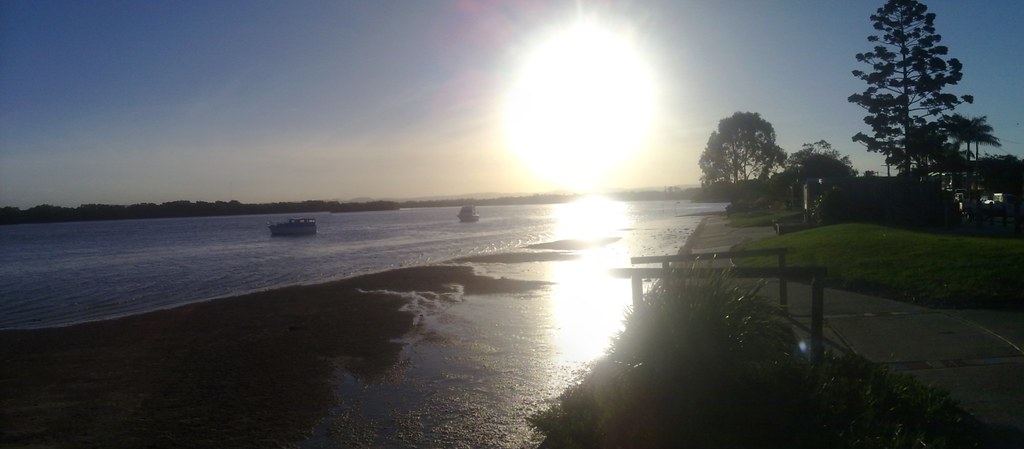
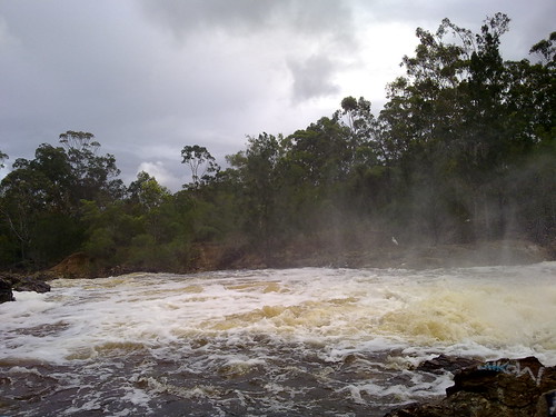
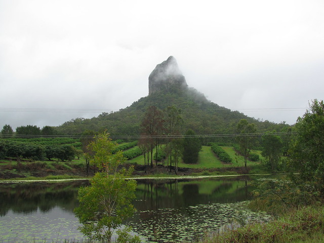
If you ever drive into the Pine Rivers district and look west, the chances are you’ll see a pyramid-shaped mountain on the horizon. You can’t miss it. The 18th century English navigators didn’t miss it – they drew it on their sketches of the area. And the chances are if you read this blog you’ve already seen it in some of my photos:
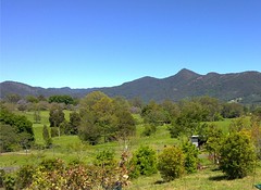

A week or so ago I decided I’d like to climb it, but I wanted to take my bike as far as I could up the mountain. It’s a tough climb for hikers, so when I told my plans to my dear long-suffering wife, she gave me a look which gave no doubts that I should ask some friends to come as well in case anything went wrong.
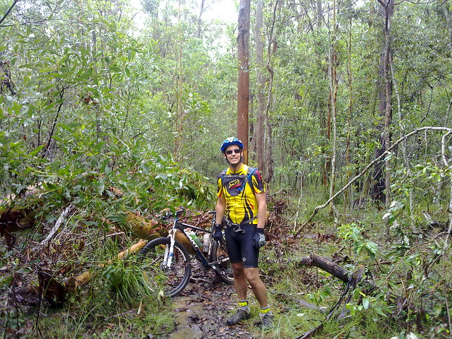
So I asked on the excellent local mountain biking website MTBDirt.com.au for some riding buddies. “You have to be crazy to do this ride”, I said. “I’ve never done it before, I don’t know if it’s rideable, it will be wet and muddy. If you’ve got any doubts, don’t come”. So seven other guys turned up this morning for the ride. I was stoked 🙂
We had permission from the local land owner who let us ride through their property up to the national park. (Thanks Gab & Shirley – we love you!). But when we got there, we took a wrong turn and ended up bashing through a few hundred metres of lantana before we’d even really started:
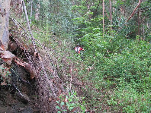
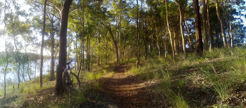
Eventually, we found the fire trail, and half-rode, half dragged our bikes up the hill:
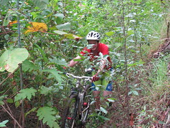
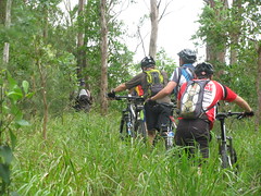
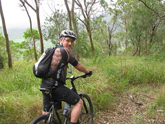
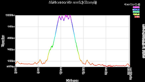
We eventually made it to the 500m line which marks a saddle between the lesser peak to the north, and the imposing pyramid of Mount Samson. It’s at this point that Hang Gliders used to jump off and glide into the valley below. The views, even at this point, were spectacular – despite all the clouds and rain in the area:
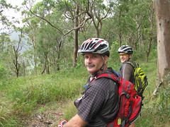
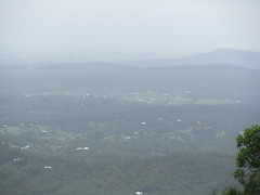
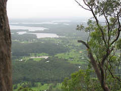
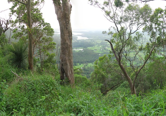
We pushed on and eventually reached a thick bunch of lantana that was impenetrable. There was no way we could drag the bikes any further, and as we tried to push through it, the horrible weed cut us and made any further progress impossible.
So we did what any fun-loving mountain bikers would do, turned the bikes around, and rolled down the hill. What a ride! About 450m of descent in 3 or 4 km. I crashed a couple of times as did others – but there was so much undergrowth that it was like landing on pillows. Also, while riding down we discovered the route we should have used coming up. It would have saved us some crazy hiking at the start and maybe saved us half an hour.
But it was a great ride with some really fun, fit, and slightly crazy guys. I’d love to try it again once I have a better idea of where to go when we reach the saddle at the top.
Total climbing: 832 m
Average temperature: NAN
Total time: 03:45:15
More data


