It’s About the Journey

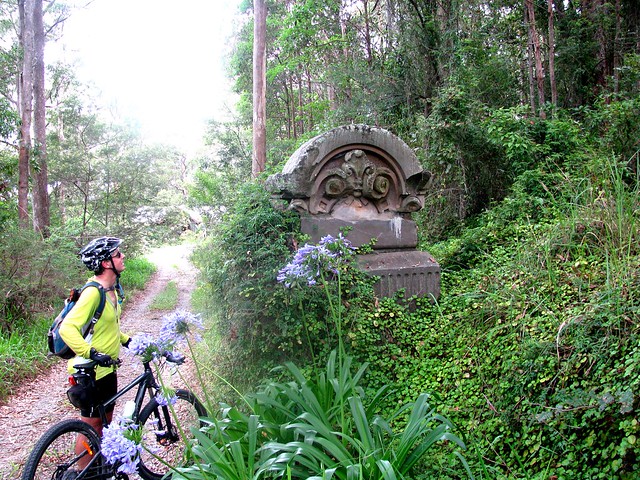
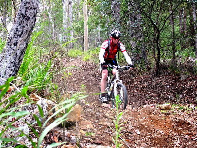
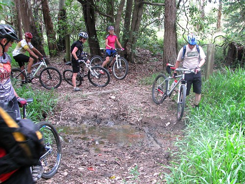
Enjoying the ViewLast week I tried to ride a large loop from home which took in Scrub Road and South Boundary Road… but didn’t quite make it. I tried again this week, and didn’t quite make it again. The problem last week was lack of water and time. This week the mud defeated us. The people from DERM have recently taken a bulldozer down some of the paths to clear fire breaks, and the roads have become impassable due to the thick mud caused by recent heavy rain.

Dean and I set out from my place at the ungodly time of 6am (he’s an early riser) and headed out to Bunyaville via some local bike paths.

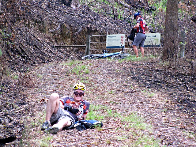
From there we rode to Ironbark Gully in Samford Forest via Wongan Creek. The creek crossing was flooded, so I smugly let Dean know I thought we could ride across it without any problems. Halfway across the creek my wheel sunk into a hidden hole, I went over the handle bars, and and ended up sitting in water up to my neck wondering what was going on.

In the meantime, Dean did the commonsense thing and rode around the flooded bit without even taking a foot off the pedals.

I’ve really got to learn my lesson about flooded creeks I think!


Camp Mountain Picnic Area
(Picture by Dean)
From Ironbark Gully we headed up to Camp Mountain for the gruelling climb up the short track. It’s always a painful climb, but I love the sense of achievement when I reach the picnic ground at the top having beaten the hill.
Brisbane CBD from Camp Mountain
The recent rain has cleared the haze from the air, so the views from Camp Mountain south to the Brisbane CBD were beautiful.
Scrub Road Causeway
(Picture by Dean)
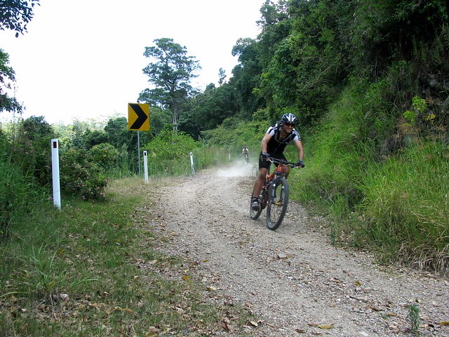
From there it was a quick ride up the bitumen to the gate at Scrub Road, and a fun descent for a couple of km down this steep firetrail to the creek and causeway at the bottom.

The only problem was the mud on the track up which clogged our wheels up so much they stopped turning. So the sensible thing to do (as Dean managed to convince me) was to turn around, climb back up to the bitumen, skip this section of dirt trails, and ride the road up to Mount Nebo.

I was disappointed. It’s annoying to be defeated twice in a week by the same stretch of track. But it forced me to face up to my main reason for doing all this anyway. And if I’m honest, it’s not about achieving objectives, it’s about getting to visit great places with good friends.
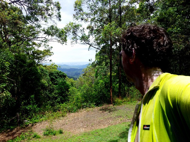
Samford Valley
(Picture by Dean)
The views from the Mount Nebo Road looking down into Samford Valley were pretty special anyway, so I don’t think we really missed out that badly!

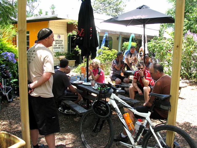
Just over 82km, with 5:30 hours rolling, and a tad under 1,800m of vertical ascent, and 4,800kcal of energy. The BLT sandwich at Jones Tea Rooms, Mt Nebo, was worth the effort to get there. Once again, this ride rates 9 out of 10 on the tough-o-meter for the hot weather, tough climb up Camp Mountain, and the mud on Scrub Road. Let’s do it again some time 🙂

Total distance: 82.71 km
Total climbing: 1865 m
Average temperature: NAN
Total time: 07:28:03
Download file: activity_146918033.gpx
More data
Australia Day

Camp Mountain Lookout
Australia Day this year was an ideal opportunity for me to get out of the house after all the rain rain and take a nice long ride on the bike to think about what this country means to me.

On the way, I got to enjoy some great trails at Bunyaville, Ironbark, Camp Mountain, D’Aguilar National Park, Samford Pony Trails and finally, Clear Mountain. I stuck to fire trails, so most of the ride was ok despite the recent rain.

It was great to meet up with my mate Graham who was riding with Jack along the Lanita Road Rail Trail. While I was there, I took a few minutes out to find a Geocache that was just a few metres off the track. If you like exploring, and the thrill of a treasure hunt, you might really enjoy Geocaching.
Before the Climb
The steep climb up the short side of Camp Mountain is always hard work. The wet ground was softer than usual which made it even harder. I took a quick break before starting the climb to catch my breath and appreciate the beauty of the place.
Camp Mountain Lookout
14 minutes later I was at the top gasping for breath, and feeling slightly smug that I’d nailed the hill. Even though my time was almost double the fastest time anyone has done that climb. Legend has it that someone did it in about seven minutes.

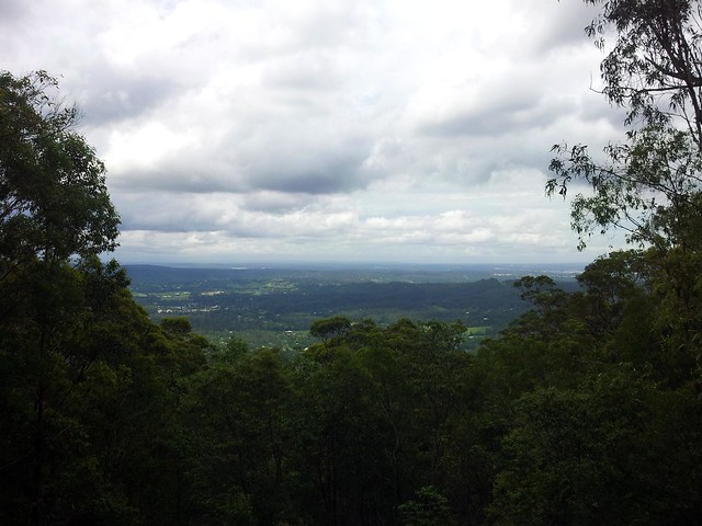
The views out to Brisbane were spectacular.
Camp Mountain Lookout
There are some great views out to Moreton Island as well.

From there, the plan was to head up to Scrub Road and spend a while down in D’Aguilar National Park before heading home via Mt Nebo.
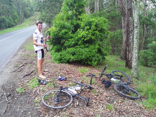
Mike
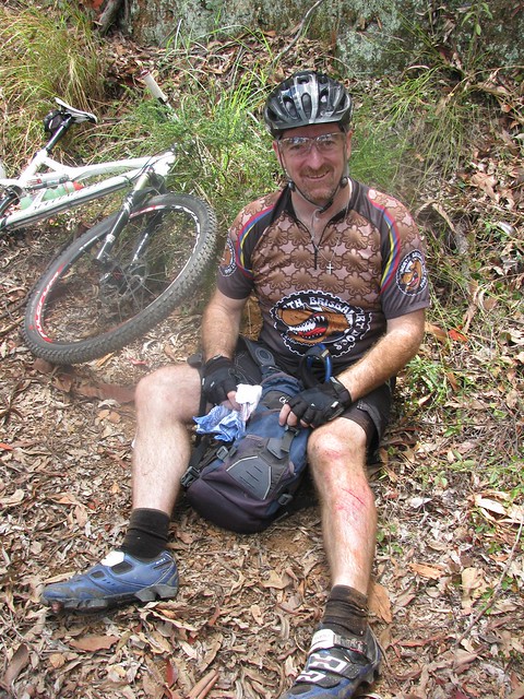
But I met Mike instead. He had two flat tyres, and only one spare tube. My big fat spare tubes wouldn’t have been much help to him, but I did have a patch kit, so I stopped and help him patch up his tubes. Since I’m not very fast at on-the-run repairs, this chewed up a bit more time than I planned, so I abandoned my plans for Scrub Road and just followed the bitumen to Mt Nebo instead.

From there it was a quick run down the Goat Track where I met Brock, a mountain biker who is lucky enough to live in Mount Nebo. The Goat Track is looking pretty rough at the moment. The rain has worn a lot of ruts in the track and some of the precipitous edges are looking dangerously soft.
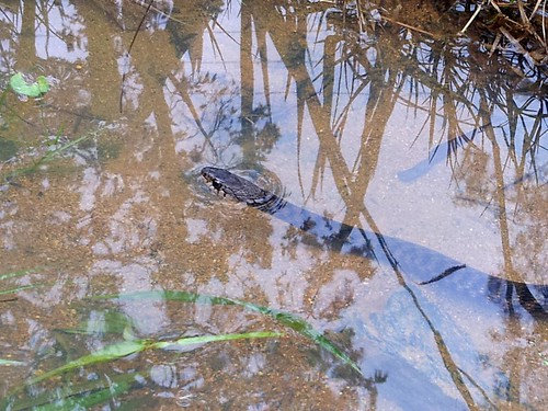
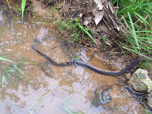
Freshwater / Keelback SnakeFreshwater / Keelback Snake
Rather than head into Samford, I followed the Pony Trails up to Gibbons Road, and came across this little Keelback (or Freshwater) snake chilling out in a puddle. They’re not venomous, but one really cool thing about them is that they eat cane toads. Unfortunately they like living around creeks and swamps, which land developers seem to enjoy clearing. Interesting to think that Land Developers and Cane Toads are on the same side 🙂

So on Australia Day, I am grateful. This place is beautiful. We have some spectacular scenery and amazing animals. And the people are great. I can stop by the side of the road and say “G’day” to people I’ve never met before and become friends right away. And I won’t even start on how good our health and education systems are (even though we complain about their shortcomings).

We’re still the lucky country.

But on Australia Day I’m also uneasy. I think about what we’ve lost, and what we’re losing. I can’t imagine what it would be like to be an indigenous Australian and slowly watch my country taken away from me, with forests cleared, animals forced to the brink of extinction, huge quarries and open cut mines, and a massive increase in population.

I don’t have any easy answers, but I intend to keep on exploring it and enjoying it.

And I hope we can fully appreciate what we have, and care for it.

All up, this was a 75km ride, with about 1,450m of ascent, and about 4,300kcal of energy. I started running short of water near Mt Nebo, so next time I plan to take some water purifying tablets to make it easier to take on extra water at the emergency tanks in the forest, or in some of the cleaner creeks. Next time I hope to do a similar route, but add in Scrub Road.

This one deserves 9 out of 10 on the tough-o-meter because of the distance, and the tough slog up Camp Mountain in the soggy, strength-sapping dirt.

Total distance: 75.69 km
Total climbing: 1468 m
Average temperature: NAN
Total time: 07:23:48
Download file: activity_144674281.gpx
More data

Taylors Break

Cabbage Tree Range Road
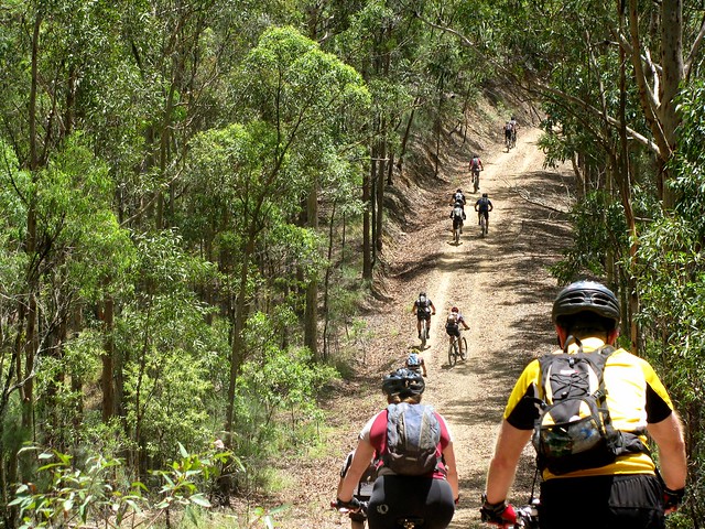
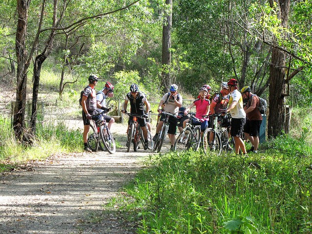
I enjoyed last week’s solo ride down Taylors Break in D’Aguilar National Park, so I wanted to share it with a few friends. About 20 of us set off from Samford, following the Pony Trails to the bottom of Mount Nebo.
At the summitAt the summit
The ride consisted of two big 500m climbs. The first one was up the Goat Track, then along a fire trail to the Lookout at the Summit of Mount Nebo.
Andrew chills outDoes it bite?
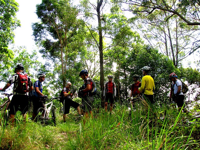
From the summit we followed Hammermeister Road to the top of Taylors Break. But before starting that steep descent, a few riders took a detour into town to get some more water (it was a hot humid day), while the rest of us lazed around in the shade catching out breath.
I'm ok
Taylors Break is a lot of fun to ride down. The narrow track flows beautifully as it goes down the mountain. Unfortunately, towards the bottom it gets steep and slippery. Darb took a jump into the air over one of the water bars. While he was in the air, a stick went through his front spokes. As he hit the ground his front wheel slid out from under him, and he ended up on the ground. It looked painful, but Darb’s made of tough stuff, and after a few minutes he was ok and ready to keep going.
Steep Descent
Tim approaches one of the steep sections of the track. Once you go over the edge, it’s pretty much a controlled skid to the bottom. There’s no stopping – you just have to keep your front wheel straight and try to stay on the bike.
Caught with his pants down
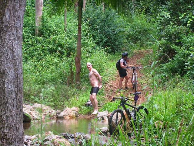
Andrew also had a crash on the way down, and suffered a nasty bruise on his thigh (that photo is censored). He decided to strip off and wash his injuries in the creek at the bottom of the descent. Unfortunately, while he had all his gear off, Becca came round the corner. Both of them got a nasty fright, and poor Andrew had to hastily get his gear back on.

There are lots of inviting, quiet creeks like this down the bottom end of D’Aguilar National Park.
Cabbage Tree Range Road
Once we reached the bottom, there was no way to go but up. Cabbage Tree Range Road was the second major climb of the ride, also rising about 500m. It takes about an hour to climb, and by the time we got to the top we were all feeling pretty tired…
Tim
…except for Tim who (amazingly) rode the whole climb in middle ring. For those who don’t ride mountain bikes, it has three cogs on the front to make riding easier: A big ring for going fast on roads, a middle ring for moderate terrain that requires a bit of effort, and a small (“granny”) ring for steep hills and narrow winding technical sections. It takes a lot of strength to nail a long steep climb like this using the middle ring.
Brian makes it to the topRussel makes it to the top
Tim had a long wait while the rest of us mere mortals completed the climb.
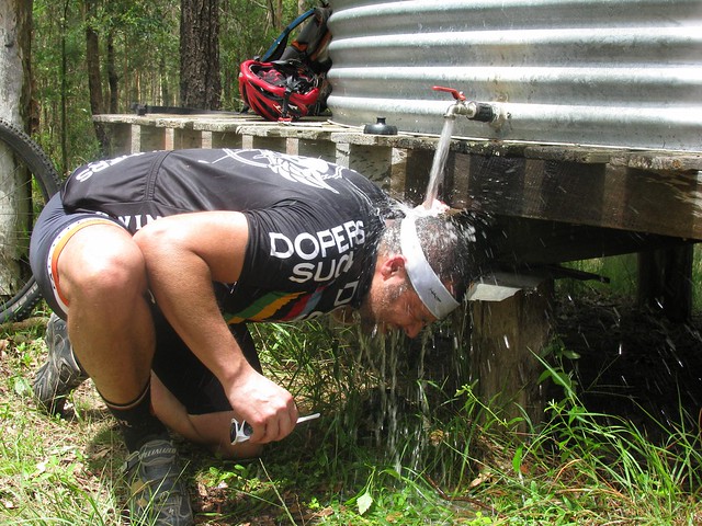
Brian under the tap
Becca under the tapDarb and GeoffChilling by the water tankNeil BPaul
The best thing about the climb up Cabbage Tree Range Road is the water tower at the top. Most of us had a delightful soak under the tap to cool off.

Adam took some great photos as well which you can view here.
Andrew also took some great photos which you can view here.

The ride was 52km with about 1,500m of vertical ascent. I burned up about 3,600 kcal. Because of the heat and humidity I rate it 9.5 out of 10 on the tough-o-meter.

Thanks so much to everyone who came on the ride. It’s a lot of fun being able to do rides like this in a group. Everyone had to work really hard. Some people were totally exhausted by the end. I think everyone enjoyed themselves.

Total distance: 52.62 km
Total climbing: 1501 m
Average temperature: NAN
Total time: 06:23:15
Download file: activity_143273848.gpx
More data

Mt Nebo

Lanita Road Rail Trail
Lanita Road Rail TrailLanita Road Rail TrailLanita Road Rail TrailLanita Road Rail TrailLanita Road Rail TrailLanita Road Rail Trail

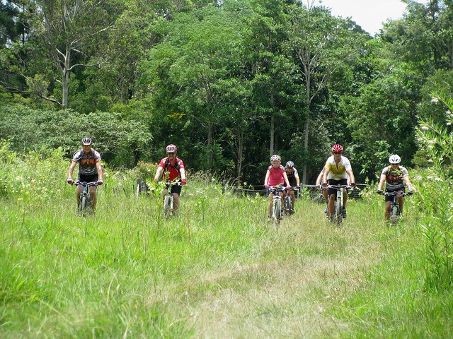
A few days ago I went to the MTBDirt.com website and asked if anyone would like to come on a ride today from Ferny Grove to Mount Nebo. This morning, 14 of us set off along the Lanita Road Rail Trail on our way to Mount Nebo.

Poiny Trails
Poiny TrailsPoiny TrailsPoiny TrailsPoiny TrailsPoiny TrailsPoiny Trails

Rather than just head straight for Mount Nebo, we explored some of the many pony trails that meander around Samford Valley. They’re a bit like a blend between fire trails and country lanes, with a few rocky pinch climbs, and even one or two horses. For small distances they’re really pleasant and a lot of fun. But at the end of a long ride, or over large distances they can be quite tiring, so the trick is to use them early in the ride, and to not over-do it.

Maintenance on the Trail

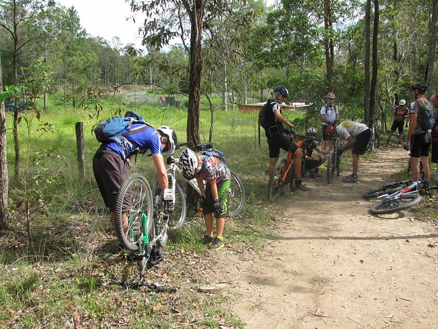
In a large group of people, it’s always a possibility that something will break (like it did today) so we made sure that there were plenty of opportunities for everyone to stop, have a break, and make sure everything on the bike was running smoothly.

Yuck! Mud!Yuck! Mud!

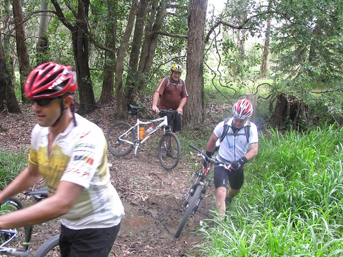
We also had to slow down for obstacles like creek crossings and deceptively deep mud puddles.

Tough Climb
Tough ClimbTough ClimbTough Climb

Climbing the Goat Track was a challenge for a large group. Everyone has different climbing ability, and some people had to work really hard to complete the climb. We had a rest at the top of the climb to let everyone recover. The most inspiring performances aren’t from people who break world records, but from those who persevere at the boundaries of their ability…. and don’t give up.

Boombanas Cafe

We stopped at Boombana’s Cafe at the top for a break and a bite to eat.

Goat Track Downhill
Goat Track DownhillGoat Track DownhillGoat Track DownhillGoat Track DownhillGoat Track Downhill
Goat Track DownhillGoat Track DownhillGoat Track Downhill

We then had a quick downhill run down the Goat Track. It’s much easier to go down that to climb up 🙂

Rail Trail
Rail TrailRail TrailRail Trail

After a quick roll along the bitumen, we headed back along another part of the Rail Trail which is now used as a cow paddock.

We rode about 50km with about 1,250m of vertical ascent.

I started from home in Lawnton, so all up I rode about 85km with 1,380m vertical ascent.

No tough-o-meter today. The ride was different for each person. Some found it more difficult than others. What impressed me was that everyone was patient, and we all rode together. It was a great day with some great people.

Total distance: 85.44 km
Total climbing: 1466 m
Average temperature: NAN
Total time: 07:42:46
Download file: activity_139225751.gpx
More data

Eagles

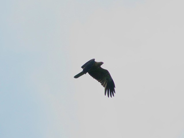
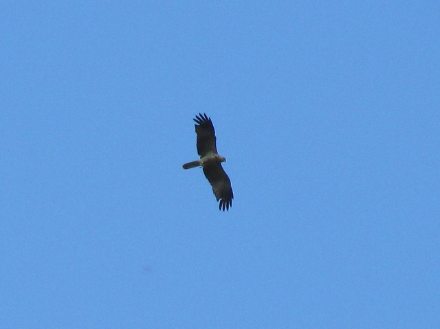
Sea Eagle - Lake Samsonvale
I took Liz’s Canon Powershot camera on my bike ride today in the hope I might spot some wildlife near the dam. As though responding to some cue, these eagles started soaring overhead while I rolled along underneath with my eyes pointing upwards when I should have been watching the track.

Luckily I didn’t hit in obstacles 🙂
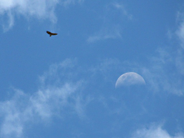
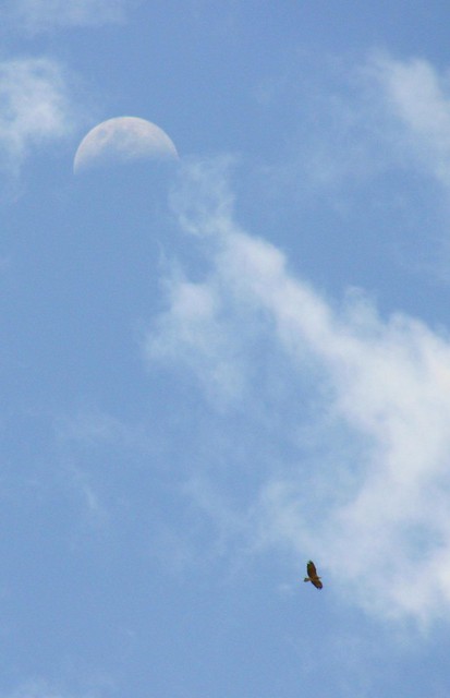
Sea Eagle - Lake Samsonvale
These two photos were a bit of a fluke. I hoped the eagles would drift between me and the moon so I could get both in the shot. By some great stroke of luck, that’s exactly what happened.
Sea Eagle - Lake Samsonvale
They were effortless – hardly any flapping, just slowly circling overhead. They seemed to be enjoying their flight as much as I was enjoying my ride.
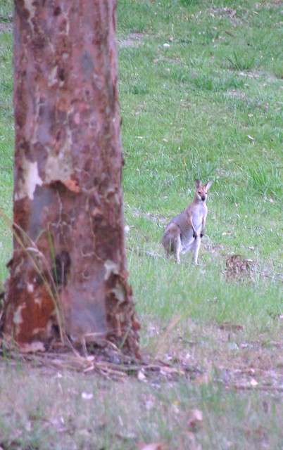
Wallaby - Lake Samsonvale
And to top the afternoon off, this shy wallaby stopped long enough for me to get a photo. I kept the tree between me and him, so he couldn’t see me, got the camera ready, stepped sidways into view, and took the shot before he bounded off into the undergrowth.
Clear Mountain and Mount Samson
It’s always a nice ride up by the lake.

Total distance: 31.72 km
Total climbing: 557 m
Average temperature: NAN
Total time: 02:19:48
Download file: activity_125940278.gpx
More data

Pedal Til You Puke

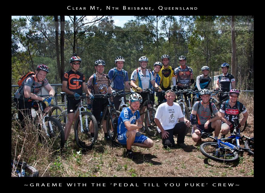
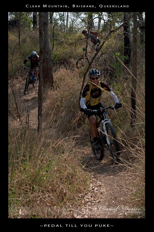
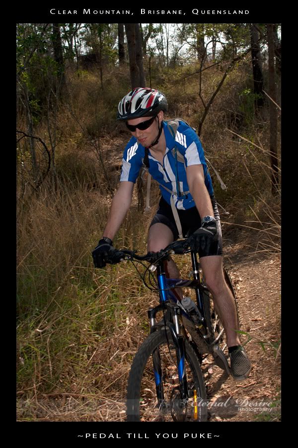
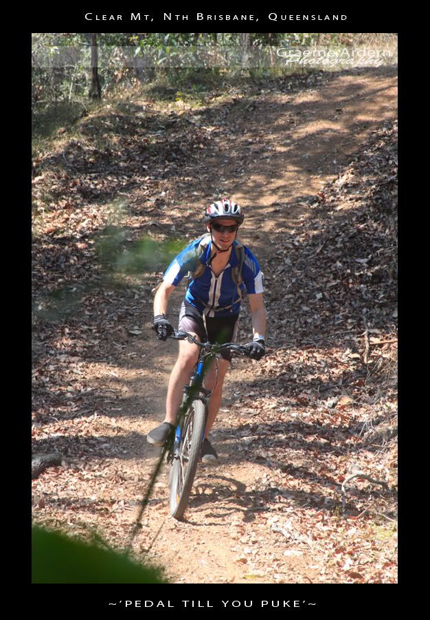
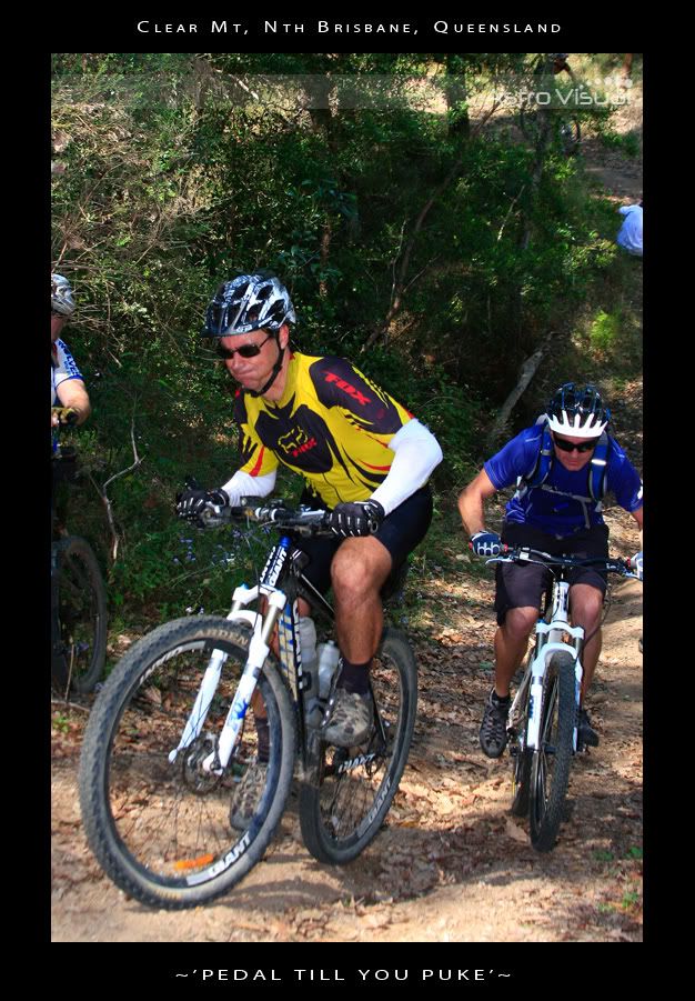
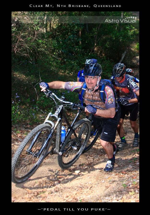
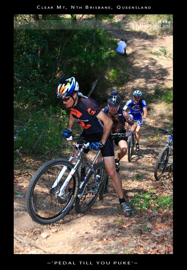
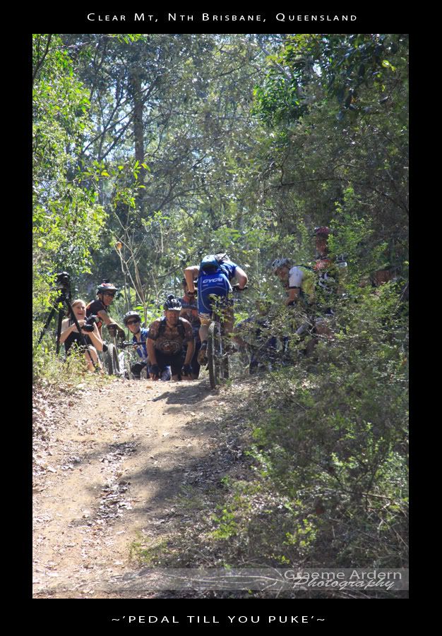
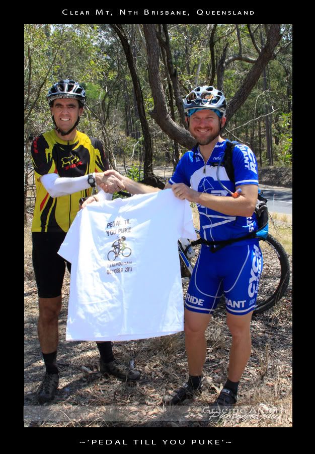
About 15 of us got together yesterday to ride some steep hills at Clear Mountain. The idea was to have fun, see who could ride up (and down) the most hills without getting off the bike, and to raise money for a friend of ours.

Graeme Ardern is fighting Hodgkin’s Disease. He needs some money in the next few weeks for neurosurgery that isn’t covered by his health fund or Medicare, so thought we’d all chip in a bit of cash to help out, and have a whale of at time in the process.

Here’s a link to their fundraising site if you’d like to help.

Thanks to Chantelle, Steve and Graeme for some great photos.


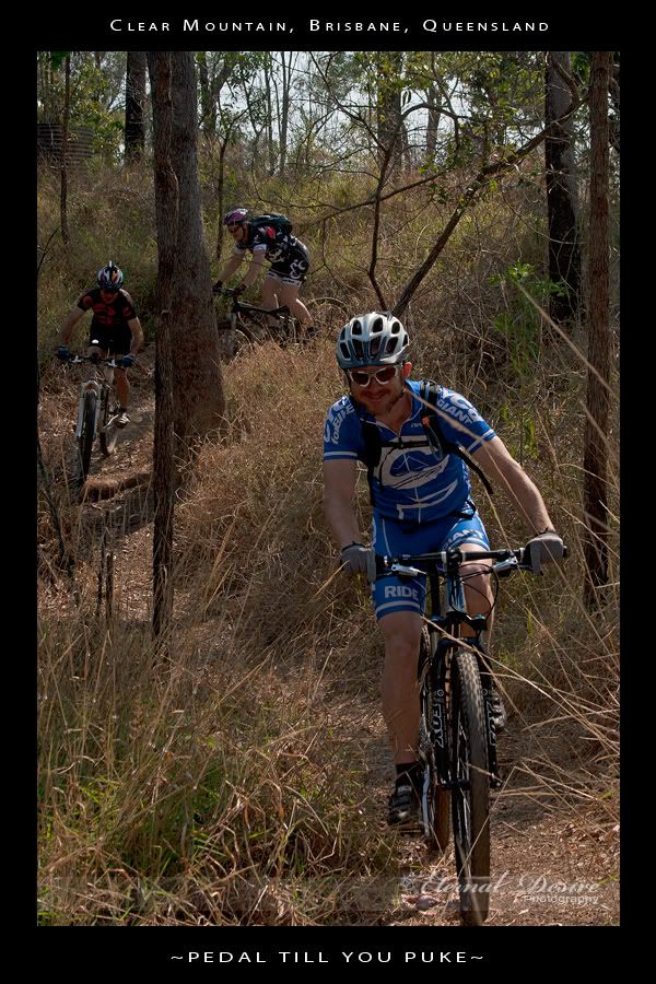
The course started out along some narrow trails winding thorugh the forest, across some steep creek crossings, then up onto the main fire trails. I’ve done this loop dozens of times before – I ride it at least once per week, but these guys rode it really quickly, and after 5 minutes I really started to feel puffed out.


We agreed to stop at the top of each hill to let everyone catch up. Towards the end, I was the one crawling to the top puffing and panting.


I was impressed with the skill of some of these riders. I was riding behind Mat (from For the Riders) and was amazed at how high he got into the air over some of the jumps, and how quickly some of these riders could get up the hills.


The last couple of hills were stupidly steep. Some of the guys put in a huge effort to make it part way up the hill. It was nearly impossible to even walk up the slope…


…so I just watched in awe as Graham “Wingadelic” Menizes smashed the last hill – riding straight up it, while singing at the same time. It was a sight to behold.

If you’re interested, Leanne has done a video of the event, including the last huge climb at the end:

I rode with a few friends afterwards to “warm” down, so the total distance for us was 20km (the course was 11km) with total vertical ascent of about 700m, and 1,400kcal. Considering most of that effort was in the first 11km, I’m giving this one 10 out of 10 on the tough-o-meter. I didn’t puke, but I came pretty close.

Total distance: 20.78 km
Total climbing: 752 m
Average temperature: NAN
Total time: 03:15:05
Download file: activity_118195835.gpx
More data

Scrub Road

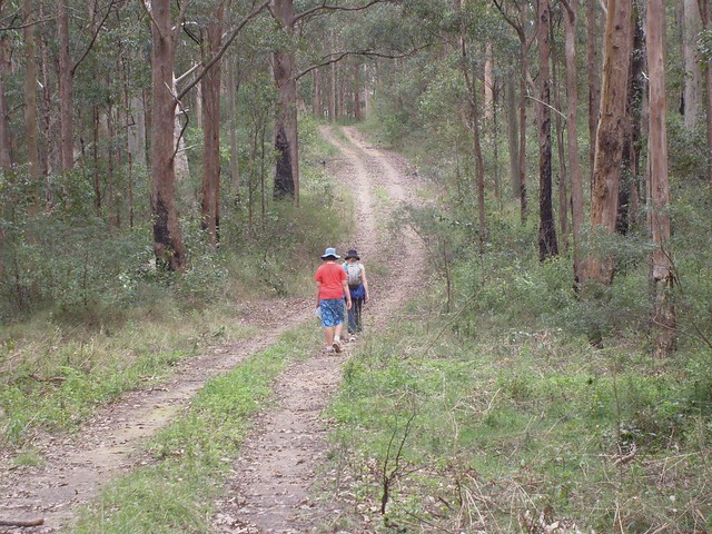
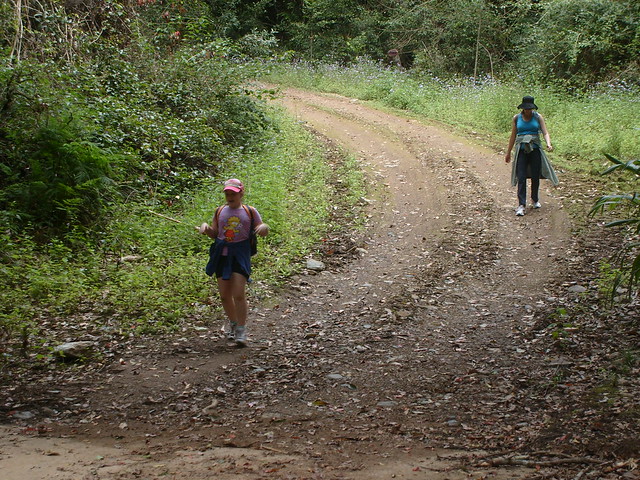
Liz asked me what I wanted for a Father’s Day present, and I said “A bush walk”. So today we hiked along Scrub Road. Basically it’s a big “vee” shaped road – steep down for 2km, then steep up the other side to the South Boundary Road Camp. Then turn around and repeat in the other direction.

Scrub Road
Bottom of the Hill
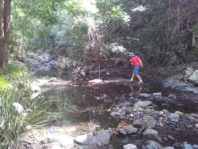
Rock Hopping
At the bottom we had a great time hopping around the rocks in the creek looking for animals.

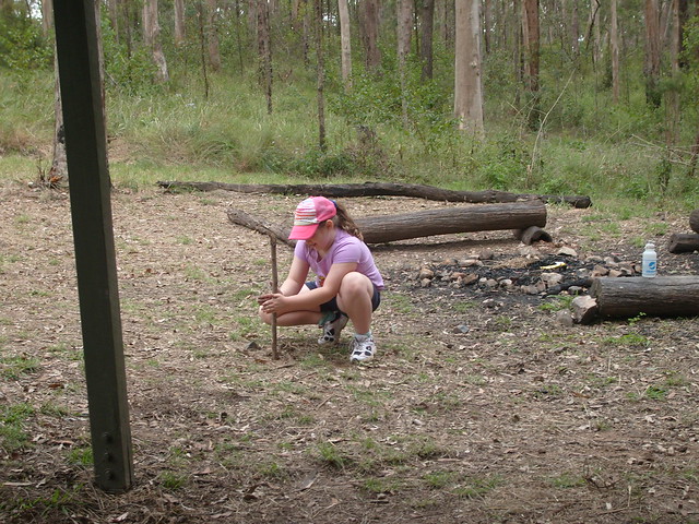
Rubbing Sticks
We stopped at the water tank / shelter on South Boundary Road for a bite to eat. Lilly thought she’d continue the camping theme by rubbing two sticks together. Thankfully no fire ensued.

About 8km in about 2 hours. A lovely walk with the family. Thanks for the wonderful present everyone 🙂

Total distance: 9.34 km
Total climbing: 476 m
Average temperature: NAN
Total time: 02:35:05
Download file: activity_111650035.gpx
More data