Blackbutt

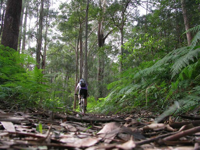
A couple of years ago I rode up the Brisbane Valley Rail Trail from Moore to Benarkin. I rode it again today with Lachlan and Isaac. The trail follows the route of an old railway line up the mountain to Blackbutt.
Linville Station
Today we started at Linville. There’s a train at the station, but it’s not going anywhere as the railway line on either side of it has been removed.

Rail Trail
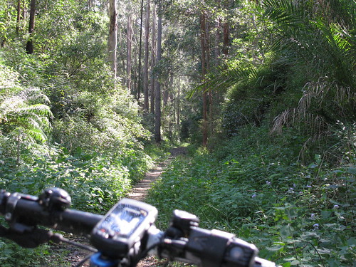
Although the trail climbs about 500 metres, it’s a gentle gradient, which makes the ride really easy for most of the way.

Creek Crossing
There are a couple of places where the railway bridge no longer exists, so there’s a steep descent down to the creek bed, and back out again. It just adds to the fun.

Eventually we reached the top and had a great lunch at a cafe in Blackbutt. Then we explored some of the dirt tracks that ran through the forests to the west of the town. This was fun as the slopes were much steeper than the easy gradients we experienced on the way up, so we were able to pick up a lot of speed down some of the long hills.

The trails finally met up again with the rail trail, and we enjoyed a pleasant 20km descent down the hill back to the car.

Last time I did this ride (Nov 2009) I found it a bit of a challenge as I’d only just started riding. This time I found it really easy. I’d probably give it a score of 4 out of 10 on the tough-o-metre, but 10 out of 10 for fun.

Total distance: 47.86 km
Total climbing: 517 m
Average temperature: NAN
Total time: 04:02:08
Download file: activity_93323417.gpx
More data

Mt Mee – Wamuran

I’ve been reading Gillian Duncan’s book “Where to mountain bike in South East Queensland” and decided to try out one of the trails in that book today. Starting at Mt Mee, I followed some dirt tracks down to the Wamuran Rail Trail, then rode back up the mountain again via some more dirt tracks. All up it was a tad over 31km, but it was hard work, which made it a lot of fun!
Pedwell Road, Mount Mee
I started from Pedwell Road, Mount Mee, which winds down past a few farms with excellent views like this one.

Eventually Pedwell Road turns into a dirt road, which turns into Williams Road:
Glass House MountainsWilliams Road
Williams Road is incredibly steep in some parts. I was going downhill, and if I was riding with some buddies, I would have attempted it, but an over-the-bars out here wouldn’t have been much fun, so I walked down some of the steeper inclines.

Wamuran Rail Trail
At the bottom of the hill, it wasn’t far to the Wamuran Rail Trail which meanders through some beautiful rain forest following the trail of an old railway track.

"Trail"
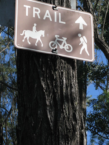
Eventually it was time to follow the “Trail” signs back up the mountain along McLeods Road. I think whoever nailed up the signs had some new understanding of the word “Trail” because it was more like a scramble up a very steep rocky hill – difficult to walk up with a bike, let alone ride up. Even so, it’s worth the effort.

All up a loop of 31.3km, with about 750m of vertical ascent and just under 1800 cal. On the Tough-O-Meter, I’d rate this 9 out of 10 because of the really treacherous downhill on Williams Road, and the crazily steep “trail” back up on McLeods Road.

Total distance: 32.05 km
Total climbing: 811 m
Average temperature: NAN
Total time: 03:29:01
Download file: activity_93081511.gpx
More data

D’Aguilar National Park

D’Aguilar National Park is spectacular – even on a bleak. cool, cloudy day like it was today.

I rode up “The Goat Track” headed for Mount Glorious, then set off down Joyners Ridge Road.
Joyners Ridge Road
The cool rainforest at the top of Joyners Ridge Road at Mount Glorious is a delight to roll through on the bike.

All up it’s about a 10km descent to the South Branch of England Creek at the bottom. Enjoy the descent, because once you get to the bottom of the hills, you have to go up!

Goodes Road
Goodes Road is a steep fire trail that climbs 550m in 5km from England Creek back up to Mount Glorious.

I must confess I took this photo, not because I was impressed with the view, but because I needed a rest.

That climb is hard work!

In hindsight, the view is pretty good too šŸ™‚
Tree Swallows SignTree Swallows Sign (Close up)
At the top of Goodes Road there’s a strange looking spotted gum that has a couple of signs on it.

The strange thing is that it looks like it has grown over one of the signs so all that’s left is a square “lump” in the trees “throat”.

Dare we hope that the trees are taking over?
Dundas Road
Once I managed to climb back up to the top of the hill, Dundas Road provided a really pleasant ride along the ridge top back to Mount Glorious.

This is a fun ride after the hard work of the climb – quick easy trails that wind through the rainforest, with Bellbirds tinkling in the background.

All up this ride was just over 35km, with 1240m of ascent and almost 3,000 kcal. It was hard work, but a lot of fun!

Total distance: 35.03 km
Total climbing: 1271 m
Average temperature: NAN
Total time: 03:41:51
Download file: activity_91502291.gpx
More data
Clear Mountain Hill Climb

One of my favourite mountain bike challenges is climbing some hills in Clear Mountain State Forest.

It’s a beautiful spot with a few creeks winding through it, tinkling Bellbird calls, and lots of different Eucalypts. But the hills are steep, and often muddy. It’s a test of strength and technical ability to climb them, which is why I keep coming back. There’s always another hill to try and beat.

This afternoon I took Liz’s camera, put it on the ground at strategic spots, and filmed myself riding by. But this time I passed some women hiking through the forest. I didn’t want them to think I was doing anything creepy with the camera in the forest, so I explained what I was trying to do. They kindly offered to help me film the hill climbs, and this video is the result.

I didn’t realize till I got home that while my back was turned they added some funny extra footage of their own.

Thank you, strange ladies of the forest. It was fun having spectators watch me have a go at these hills – even if I did conk out on the last hill!

Total distance: 32.34 km
Total climbing: 579 m
Average temperature:
Total time: 02:43:49
Download file: activity_89377585.gpx
More data
Putting the “Mountain” in the Bike

Emu Mountain
Emu Mountain is a great little national park just north of Coolum where we spent the weekend. It has some interesting walking tracks which we’ve done with the kids before, but this time I felt like exploring it on my bike.

I didn’t intend to ride up it, but when I saw the gnarly tracks heading up the hill, I couldn’t resist.
Emu Mountain Summit
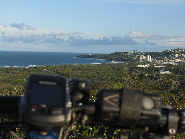
The cllimb wasn’t as difficult as I thought it would be, and (as always) the view was fantastic. This view is looking south back down to Coolum where we were staying.

Emu Mountain Summit
As you can see, a lot of the land in the area is forest – right by the sea, and quite unspoilt.

Stumers Creek
Eventually I rolled back down the gnarly hills and stopped briefly on the beach at Stumers Creek.

A beautiful finish to a wonderful weekend!

Total distance: 16.22 km
Total climbing: 157 m
Average temperature: NAN
Total time: 01:26:00
Download file: activity_88632073.gpx
More data

Noosa National Park

The weather forecast said “Rain” but we couldn’t have asked for a more perfect day to explore the Noosa Headland. I can’t believe how lucky we are to have this beautiful national park just over an hours drive from our front door.

Walking on WaterFraser IslandSurfers
We walked clockwise around the headland starting at Laguna Bay – a popular spot for surfers and sunbathers.
Happy Hikers
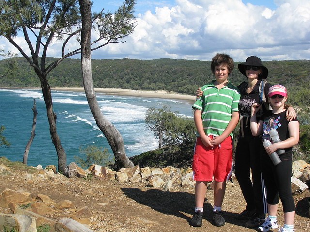
The track winds around the cliff-tops with some spectacular views through the rainforest trees down to some rocky secluded beaches.
Alexandra Bay
Eventually we reached Alexandra Bay. Hidden away on southern side of the headland it feels a million miles away from the cares and worries of the city

Alexandra BayAlexandra BayAlexandra Bay
The walking track follows the beach for a couple of kilometres before heading back into the forest.

Tree HuggerTree Hugger Liz
Tree Hugger HarrisonTree Hugger Lilly
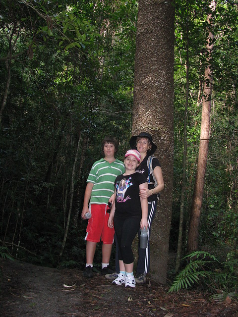
I suppose you could call us a family of tree-huggers šŸ™‚

Hoop Pine
Eventually the track passes through some denser forest with these wonderful Hoop Pines – native to South East Queensland.
Hoop Pine
All up about 9km, with 400m of vertical ascent. A beautiful easy walk. We’d definitely do it again!

Total distance: 9.46 km
Total climbing: 454 m
Average temperature: NAN
Total time: 02:37:30
Download file: activity_88632087.gpx
More data

Eumundi Forest Reserve

We decided to have a long weekend break up at Coolum on the Sunshine Coast.

As usual, I pondered over maps of the area to see if I could discover any new places nearby that I could ride to.

I had my eye on a few dirt roads that meandered around the back of Mount Ninderry, especially a couple that seemed to disappear into forest on the map, because that meant there was a possibility of exploring some fire trails.

Eventually a came across the familiar “Forest Reserve” sign and disappeared down a dirt track gleefully, like a child with a new toy…
Eumundi Forest
I saw a forest trail I’d never ridden before and thought “Why not?”

Coming...
Rainforest, trails, steep hills… The Eumundi Forest Reserve at Verrierdale, in the hills west of Coolum, has everything including a few km of muddy swamps.

The tracks are delightful – mostly fire-trails. They wind through some lush green rainforest, with some challenging hill climbs in one or two places.

Going...
Recent rain has made some of the clay soil quite sticky, which makes it a bit tough around creeks. But I suppose the most surprising bit was the swamps – I didn’ count on having to drag the bike through a few kilometres of wet muddy creek beds. From the look of it I think these large wet patches are a permanent fixture. If they’re like this in dry weather, imagine what it’s like in the rainy season šŸ™‚

But it was great to get out on the bike and explore some new places!

Total distance: 56.16 km
Total climbing: 802 m
Average temperature: NAN
Total time: 04:51:10
Download file: activity_88453261.gpx
More data

Cool Coolum

Coolum in the cooler months is beautiful!

Dusk on the Beach
Liz, Lilly and I are happy to be back on the beach again at Coolum. Harrison is lurking in the background on the left.

Here’s a few pics of our first evening walk along the beach in a few months:
Birds on a Wire
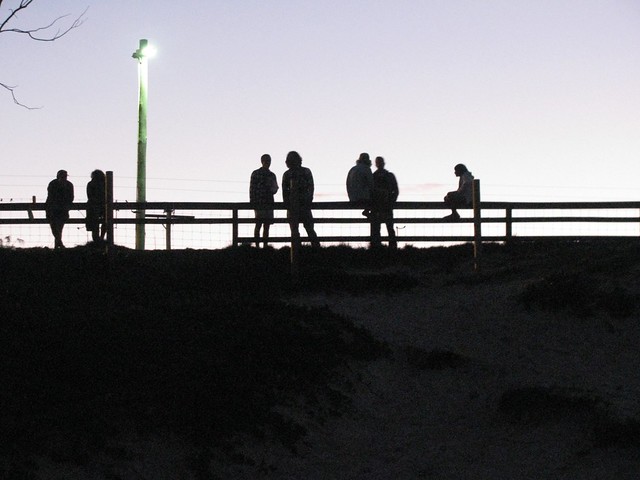
These people looked like birds on a telegraph wire as they watched the ocean at dusk.

See Saw
Lil and Lilly had fun on the see saw in the playground

Coolum Beach at Dusk
Looking north up the beach at Coolum towards Noosa.