Every year we enjoy a social ride with a large group of cyclists exploring the Glasshouse Mountains. A lot of groundwork goes into checking the trails to make sure they’ll be rideable. Today’s adventure helped us work out which tracks would be worth including, and which ones would be best avoided.
Continue Reading
Year: 2016
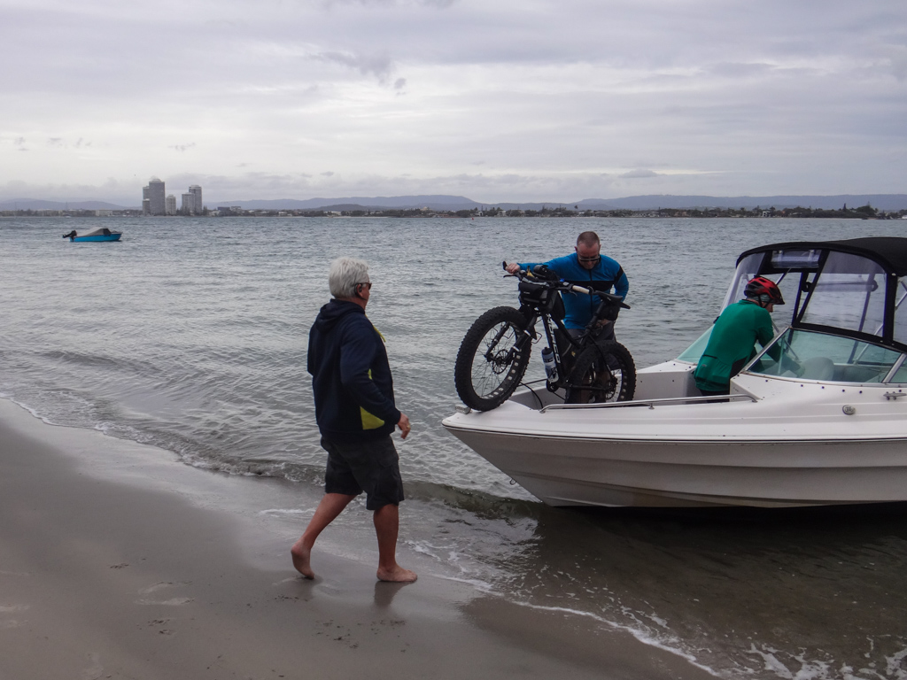
South Straddie
There are no ferries to South Stradbroke Island. The only way to get there is to hitch a ride on a friendly boat…
Upper Portals
Rain is good. It transforms dusty beds into flowing streams. After enjoying flowing creeks last week, we wanted to visit more rock pools and waterfalls while we could.
Continue Reading
Social Ride Invitation – Glasshouse Mountains XC Adventure 2016
Would you like to join us for a fun social ride through the Glasshouse Mountains?
When: 7.30am, Saturday, 20 August 2016.
Meeting point: Matthew Flinders Rest Area, Steve Irwin Way, Beerburrum. Google Map Ref: http://goo.gl/maps/NEaFY
Approx distance: 70km with about 900m of elevation. We should be back by 2pm.
Features:
A memorable “party on wheels” with a large group of friendly mountain bikers. (We had 70 riders last year)
Great views of the Glasshouse Mountains from several high points
“Secret Single Track” – almost 6 kilometres of twisting single track following some hidden creeks.
The lookout track challenge. Who can nail the gnarly climb behind the lookout?
Hennessy Hill Downhill Track
Lunch at Woodford
For people who don’t feel comfortable riding 70km, the obvious bail-out point is Woodford. If you leave a car there you can finish up after lunch.
Route:
We will post up the route closer to the day
Here’s the course info:
KML | GPX | MAP | PDF (Printable)
If you are coming along in a 4WD to help support the riders, here’s a suggested course:
(4WD ONLY) KML | GPX | MAP | PDF (Printable)
Don’t download these unless you’re driving a 4WD
Here’s are some suggested meeting points where the 4WD may be available to assist:
KML | GPX | PDF (Printable)
We will ride clockwise from Beerburrum, up to the lookout and down Hennessey Hill then out to Woodford.
We’ll do the “Secret Single Track” after lunch, and then come back via some tracks behind Mount Beerwah.
We’ll return via Glasshouse Township in case anyone needs a break.
These tracks can be adversely affected by wet weather so we may make minor changes to the route several days before the ride in the event of wet weather.
Notes:
Social pace. We won’t leave anyone behind.
You can refill water at Woodford. Although there are a few water taps at other places throughout the ride, they’re not officially “drinkable”.
Public toilets at The Lookout and Woodford
The route includes a few km of paths / bitumen roads around Woodford.
There are a few steep climbs.
There are a few steep descents.
There are one or two places you might get your feet wet.
Bring:
Bike in good condition
Plenty of water and snacks
Tools / Repair kit
Sunscreen
Sense of humour.
Whether you’re a novice or a ninja, this ride is always fun, usually with a large group of people. Last time we had about 70 people of all different skill levels.
If you feel like having a fun day out with a large bunch of fun-loving mountain bikers, this is the ride for you.
DISCLAIMER
Mountain Biking is a dangerous sport. You ride with us at your own risk.
IMPORTANT
We strongly suggest you join Mountain Biking Australia, which gives you personal accident and public liability insurance.
You can get a FREE trial 8-week membership here: http://www.mtba.asn.au/membership/free-trial-membership/
Cabbage Tree Creek
Winter in this part of the world is usually dry and pleasantly mild. This year we’ve had a lot of rain which has turned dusty creek beds into pleasant streams. We thought it was a good excuse to get our feet wet.
Continue Reading
Swift Fat Campout
It was the shortest day of the year. Forecasters predicted it would probably be the coldest day of the year too. What a perfect excuse to go camping!
Raynbird Creek
My friend Paul once told me about an old trail which ran from the highest point in the D’Aguilar Range down to the Lacey’s Creek valley, losing over 700 metres in altitude over almost twenty kilometres. He called it “The Lemon Tree Track”. Today we thought we should check it out.
Imbil
When my friend Mike recently offered to show us around some of his favourite trails in the mountains near Imbil, we jumped at the chance.


