


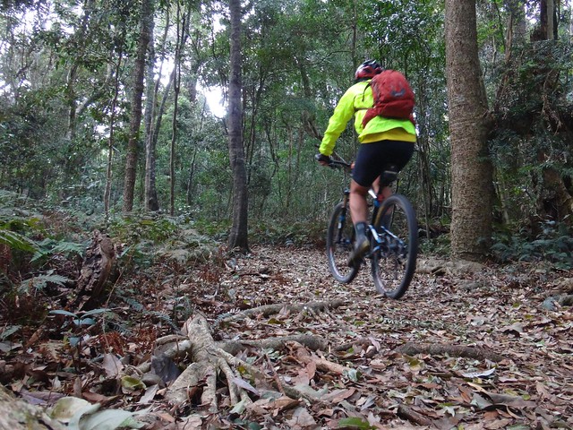
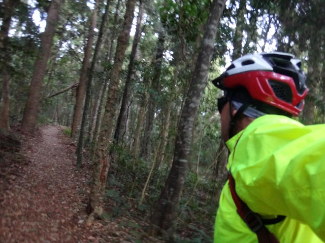
Our family decided to go to the Bunya Mountains for a short break, so I brought my bike and did some exploring of this beautiful part of the world.
The high peaks of this range have the largest remnant forest of Bunya Pines on the planet. The cool rainforests are home to many rare species of animals and plants. It’s the perfect place for a tranquil get-away.
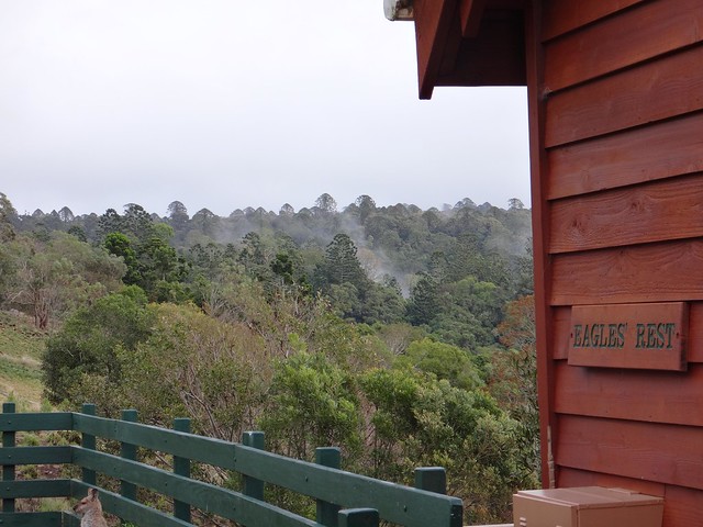
We stayed at a cosy chalet on the side of the range at Dandabah overlooking vast forests of Bunya Pines with views that stretched forever northwards.
While everyone was still asleep, I ventured out into the crisp morning in search of new places.
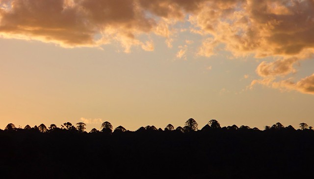
Even though it’s late September, temperatures were similar to a cold winters morning in Brisbane. I was glad I’d brought my jacket as I slowly rolled through the forest.
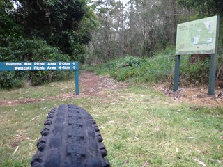
The national park walking tracks are off-limits to bikes, so I avoided them and stuck to the quiet road as I made my way north towards Burton’s Well.
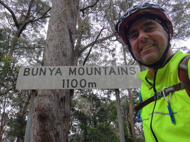
Burton’s Well is at the northern end of the national park, at over 1,100 metres elevation. Just over a year ago some friends and I enjoyed a fun ride to Yarraman from here, so I wanted to close up a gap in my map and revisit that spot.
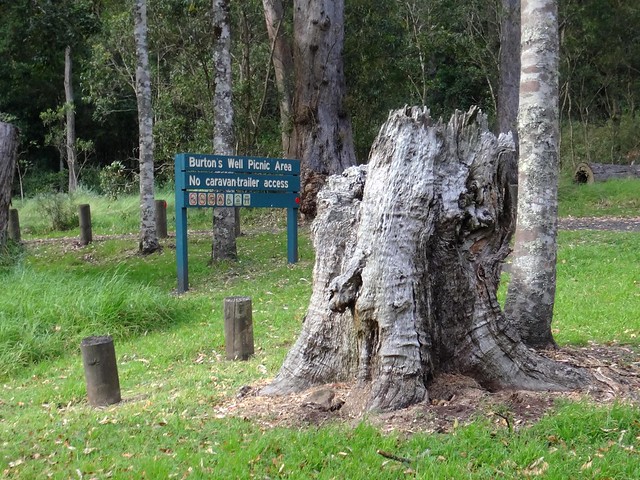
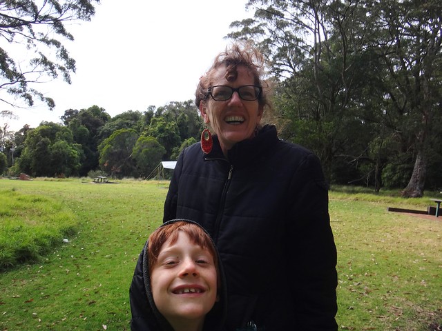
Because of its elevation, temperatures at the camp ground can get quite low. I said “G’day” to Pia and her kids who had braved a freezing night in a tent on the edge of the range. They looked cold but happy to be enjoying the cool serenity.
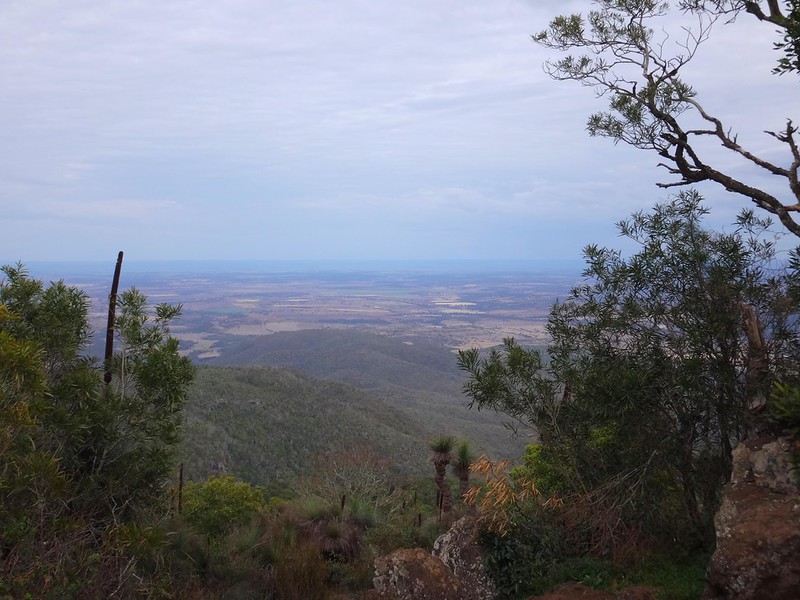
I took a quick detour from there to the top of Mount Kiangarrow. At 1,135 metres above sea level, it’s the highest point in the Bunya Mountains with great vews of the plains of the Darling Downs to the west.

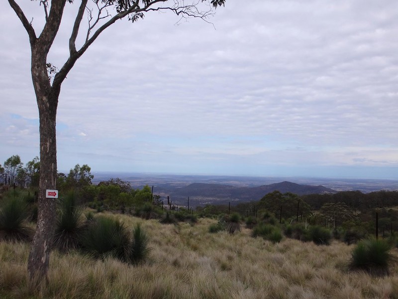
My friend and riding buddy, Eric, asked me to check out some westward tracks to see if there was a possibility of riding off-road from the mountains towards Dalby. So after returning from Burton’s Well, I headed west off the side of the mountain.
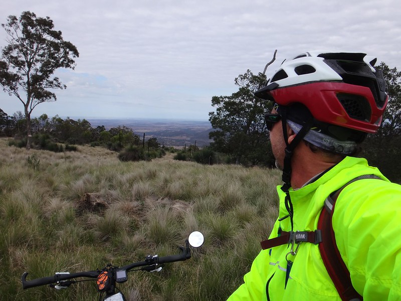
The track follows powerlines westwards through bleak wind-swept grasslands. I didn’t venture too far, but I’m sure if we asked a few of the locals they’d point us in the right direction. What do you think, Eric?
Nothing appeals to a mountain biker more than an unexplored track. I’ve got a feeling we’ll be coming back 🙂
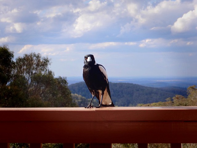
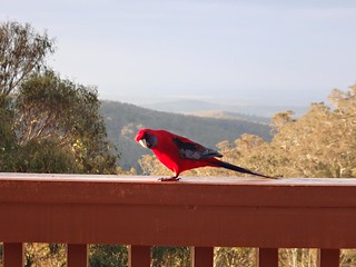
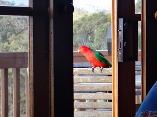
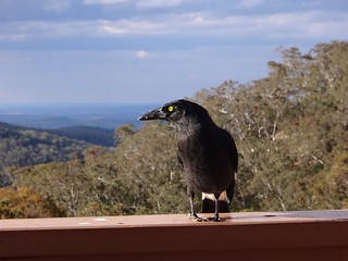
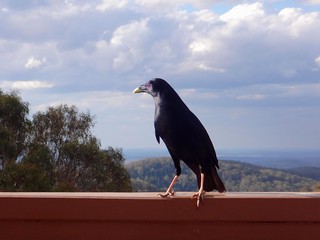
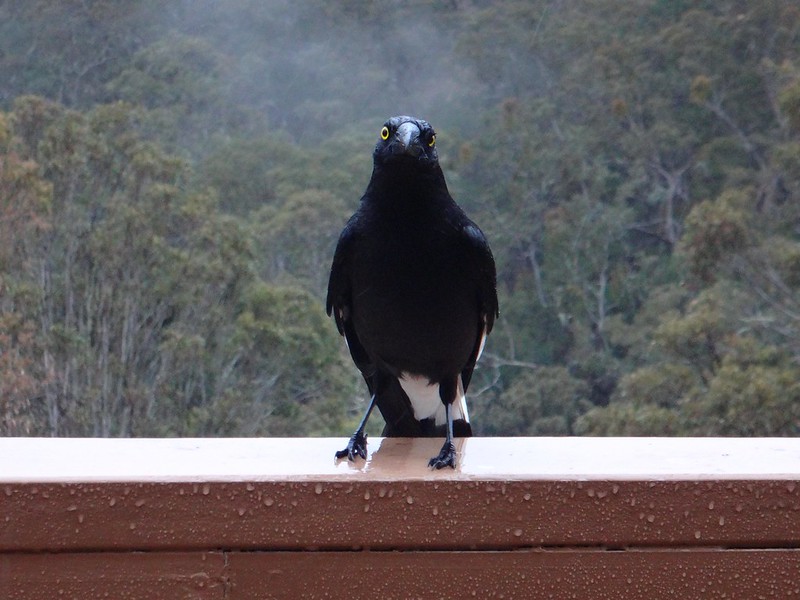
Back at the chalet, the local birdlife decided to introduce themselves. Friendly Magpies, Crimson Rosellas, King Parrots, Currawongs and Satin Bowerbirds dropped in to see if we could spare some bread or seeds. They also performed some amazing acrobatics when we tossed morsels into the air for them to catch.
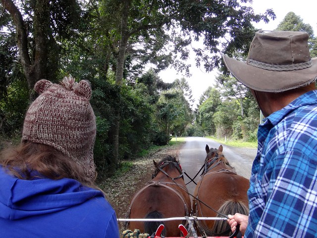
Local guide Alan Govan took us for a leisurely horse-drawn tour around Dandabah and pointed out some of the other things we could do during our stay.
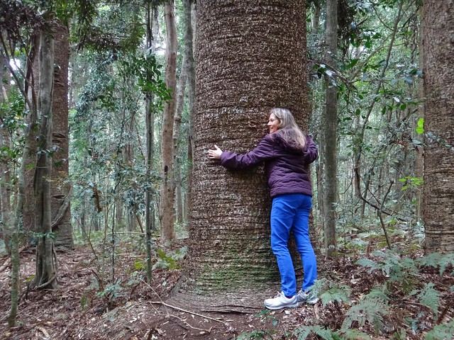
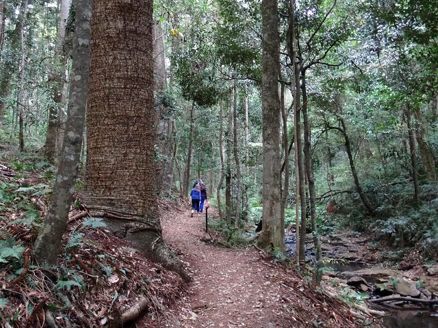
We decided to go for a walk in the forest and hug a few Bunyas.
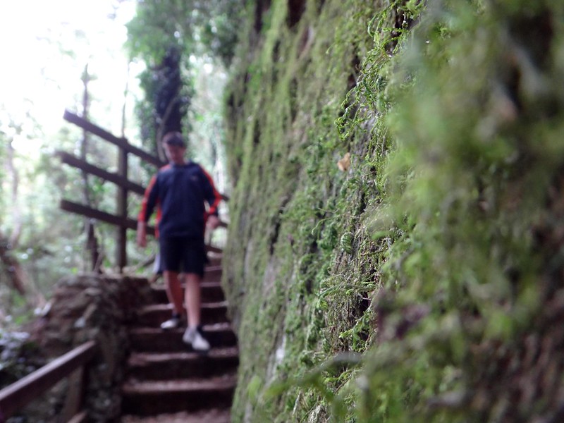
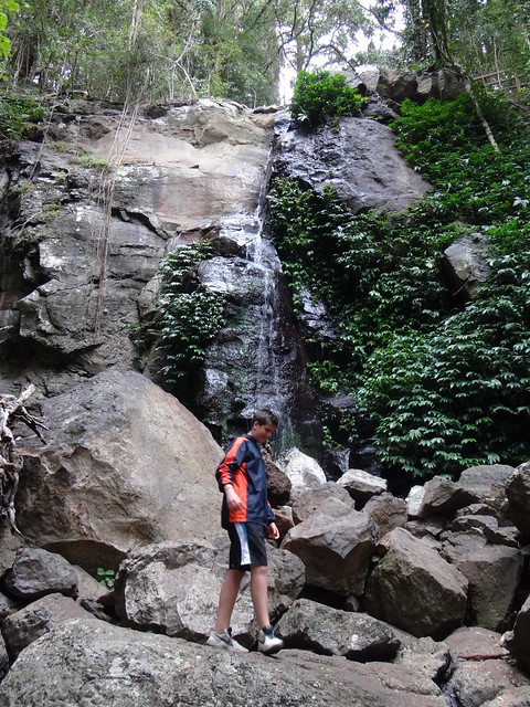
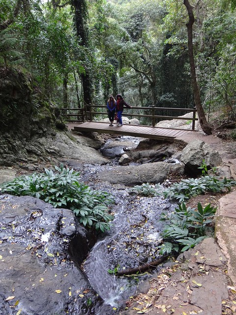
The scenic loop goes for about 5 km as it twists along a creek through the rainforest under the canopy of majestic Bunya Pines.
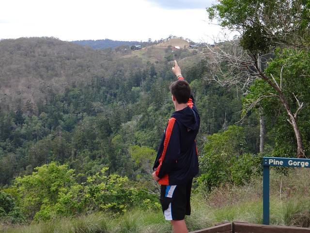
At Pine Gorge we looked back across the valley and could see our Chalet in the distance.
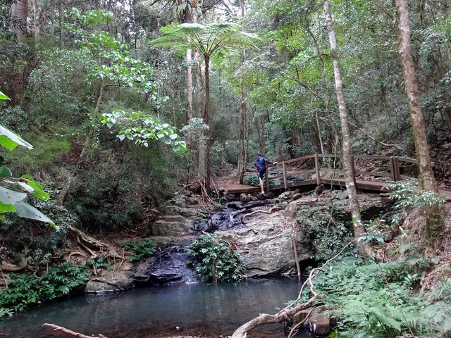
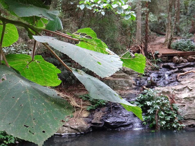
The path wound past rock pools past towering tree ferns and stinging trees.
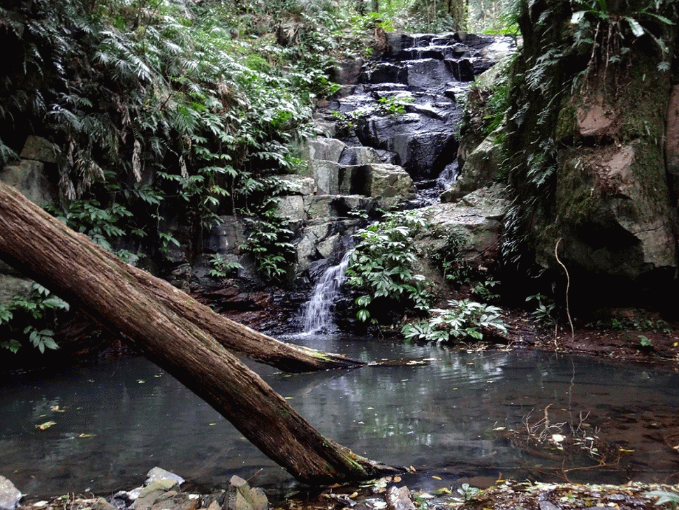
The trees sheltered us from the gentle rain.
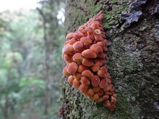
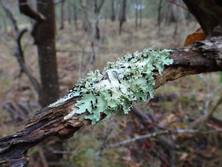
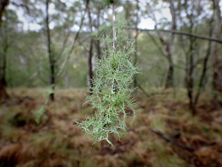
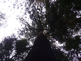
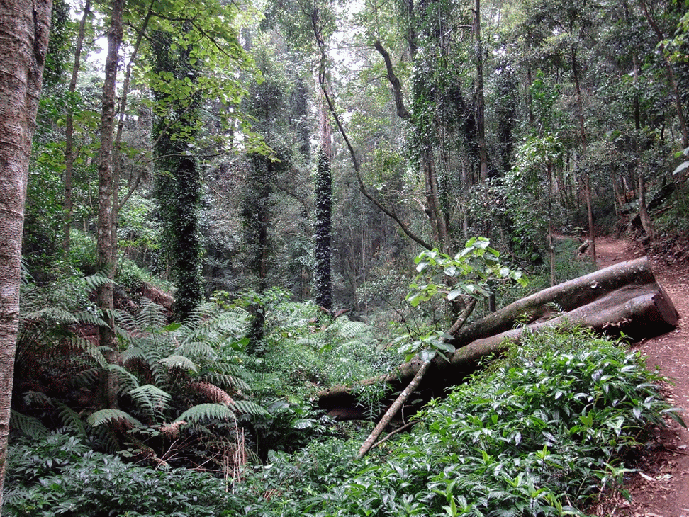
A Bunya Forest is a special place.
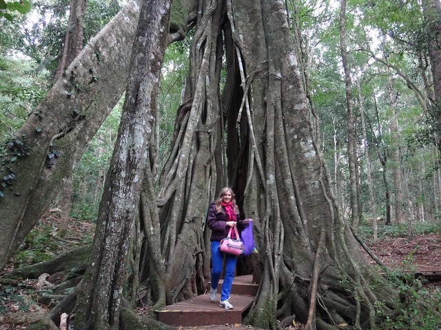
It’s an awe-inspiring experience to feel dwarfed by ancient trees.
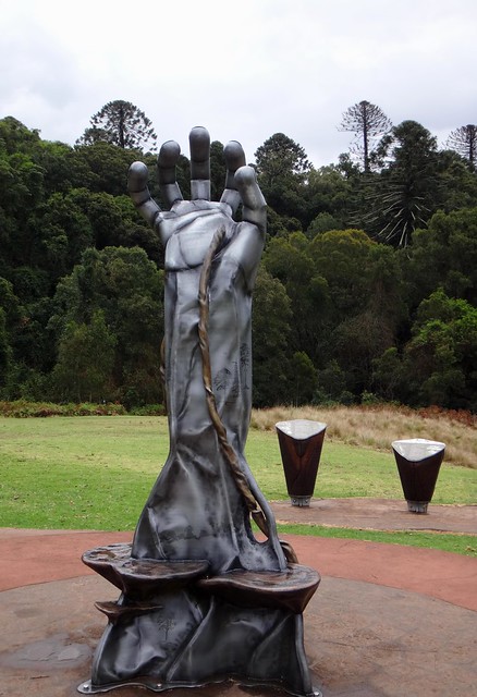
This sculpture at the visitors centre captured the the struggle for life as plants in the forest reach up for light.
We loved our brief stay in the Bunya Mountains, and will definitely be coming back.
Total climbing: 1067 m
Average temperature: 9
Total time: 03:16:53
More data
My brief adventure on the bike covered about 30km in three hours as I climbed about 800m in vertical ascent. I’d rate it 6 out of 10 on the tough-o-meter.
Total climbing: 604 m
Average temperature: 15.1
Total time: 02:00:49
More data
Our stroll through the forest covered almost 5km in about two hours. It’s an easy walk.


