For the last few years I have wanted to take a long ride on my bike from Charleville to Brisbane. A couple of weeks ago I got the chance to do it.
Top | D1 | D2 | D3 | D4 | D5 | D6 | D7 | D8 | D9 | Bottom
Originally, I had planned to do this ride solo. Liz suggested it might be safer to ride with a friend. I’ve learned that I often appear to be more intelligent when I listen to my dear wife, so I took her advice. When Paul phoned asking if he could join me, I happily agreed.
It took a few days to work out what to take with me. I’d have to carry everything with me on the bike for nine days, so I tried hard to find the happy medium between lightness and comfort.
In the end, I decided to take:
- “Alien-X” front rack to carry my “Bike Bag Dude” handle-bar roll. I’d keep my clothes in here.
- “Bike Bag Dude” frame bag, and top tube bag for bike tools, spares and snacks.
- “Bike Bag Dude” chaff-bags to hold my water bottles behind the handlebars.
- Revelate “Viscacha” Seat Bag for food, phone charger, batteries, plus extra odds and ends.
- “Camelbak” back pack for extra water, first aid, sunscreen, etc.
I also took a couple of sets of “Ground Effect” cycling clothes:
- 2 “Berglar” Merino Jerseys
- 1 pair of “Innuendo” liners
- 1 pair of “Sputnik” knicks
- 1 pair of “Hydroslide” shorts with built in knicks.
- 1 pair of “Double Happies” shorts
The plan was that the Merino Jerseys would protect me from the sun and last a few days between washes. I knew from experience that all of the gear would dry quickly when I rinsed it out at the end of the day.
Rather than take clip-in cycling shoes, I used flat pedals and some “Five-Ten” shoes which I would also work as casual shoes at night.
I also packed a couple of Castelli mesh undershirts to keep me warm in the mornings, and a North Face jacket.
I had originally planned to take a seventeen hour train trip to Charleville with my bike – the Westlander goes out there twice per week. That’s why I had picked Charleville as my destination in the first place – it was easy to get to without a car.
Unfortunately, I had difficulty booking space on the train for two bikes, so my mate Wayne offered to drive Paul and me to the start of the ride if we paid for his fuel and accommodation.
And so we set off from Brisbane early on Monday morning for a fun road trip out west.
Nine hours later we found ourselves enjoying a few drinks on the huge verandah of the Hotel Corones (rhymes with “ponies”), watching the sun go down.
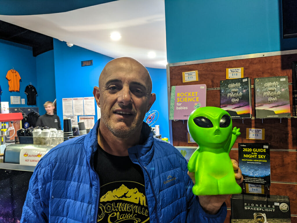
In the bar, Lola sold Paul a toy sheep and a stubby holder. Paul named the sheep “Baa-aabara” and strapped the little mascot to his handlebars for the long ride home.
That night we visited the “Cosmos Centre” on the outskirts of town. This part of the world is the perfect spot to gaze at the stars through a powerful telescope…
Where the air is clear as crystal, and the white stars fairly blaze
At midnight in the cold and frosty sky,— A.B. Patterson “The Man from Snowy River”
The downside of having air as “clear as crystal” in winter, is that it can get quite cold. I was freezing, and was grateful I had brought my jacket.
Day 1 – Charleville to Morven
Top | D1 | D2 | D3 | D4 | D5 | D6 | D7 | D8 | D9 | Bottom
Wayne left early the next morning for the long drive home. He was gone before I got out of bed.
Paul and I loaded up our bikes and went for a quick roll around town before the sun came up.
The Warrego River runs through Charleville. Most of the time it doesn’t flow and is merely a chain of billabongs. Every five to ten years, a major flood event occurs, and this small watercourse swells into a raging torrent which flows hundreds of kilometers south, eventually joining the Darling River near Bourke in NSW.
There is a large levee bank on one side of the river to protect the town from flooding.
The Bidjara people are the traditional owners of this area. In their language, “Warrego” means “River of Sand”.
My GPS told me the temperature was 1C. My fingers were numb. I found it difficult to even unbuckle my helmet.
I thought to myself, “I’ve ridden a bike up mountains in Iceland, and through the snow in Canada, but I’ve never felt as cold as I do right now.”
We found a cafe, where I eagerly inhaled a cooked breakfast and hot coffee.
My fingers eventually defrosted, so we jumped on the bike and started our long trek home.
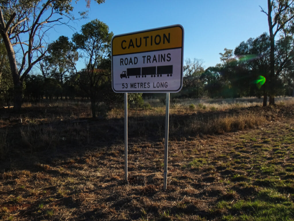
The “Road Trains” our here are massive – fifty-three metres long, with three double-decker trailers carrying hundreds of cattle.
Even though these trucks are driven by some of the most skillful drivers in the world, Paul and I were adamant we didn’t want to share the road with these behemoths. So we sought an alternate route…
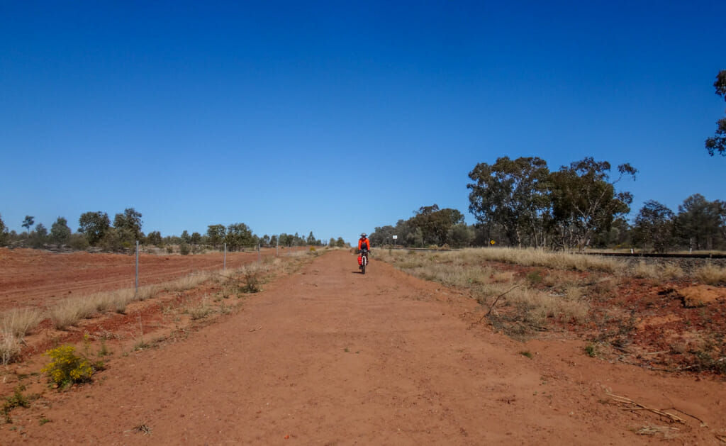
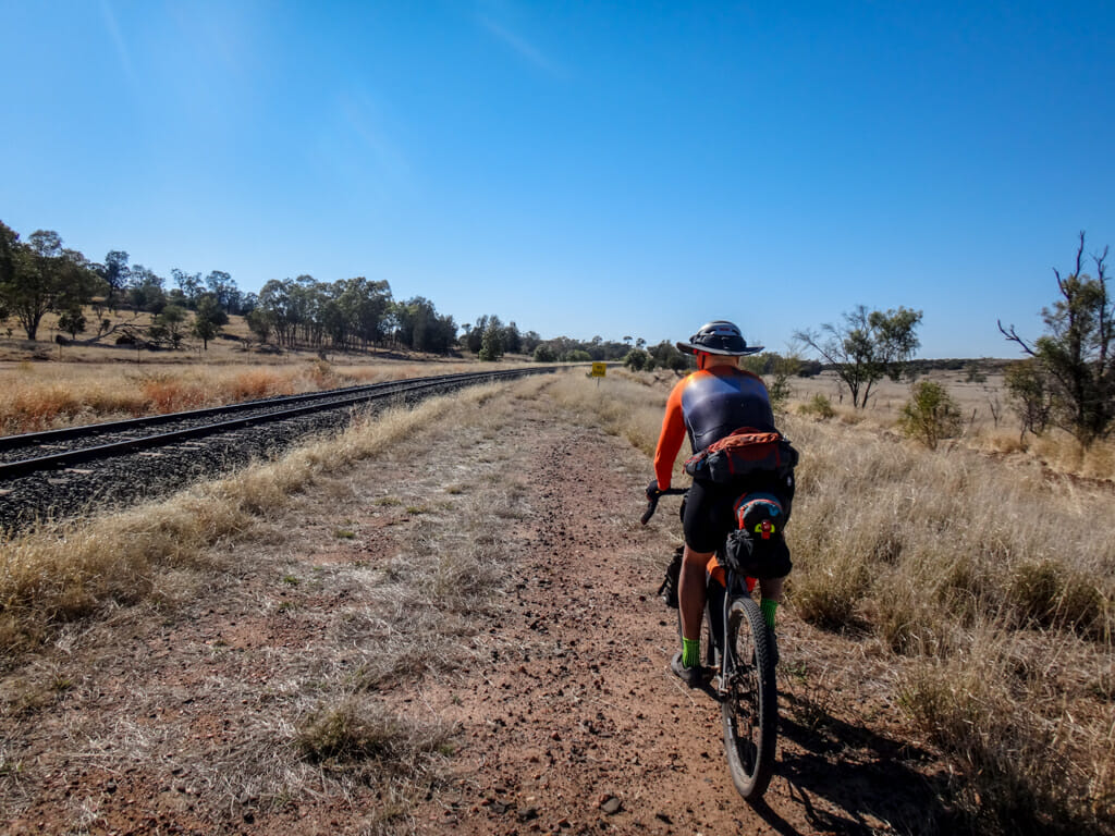
Before we had even left town, we headed towards the railway line, and rode our bikes on the dirt track which ran alongside it.
The long red ribbon of soft sand stretched endlessly to the eastern horizon.
Our tyres squirmed in the softness. Could we manage this for the next few hundred kilometres?
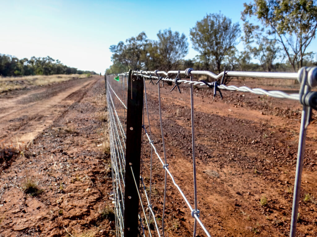
On our right, lay a shiny new dog fence.
To our left lay “The Western Line” – a major railway line built in 1883 to facilitate European settlement in south-west Queensland.
Paul and I settled into a steady rhythm.
The sun rose higher in the sky, temperatures warmed, and I was able to remove my jacket and winter gloves.
This was now perfect cycling weather – about 10C with no breeze, clear skies and almost no humidity.
We could ride all day in these sorts of conditions – which was just as well, because the next town was one hundred kilometres away.
After a couple of hours riding, we stopped in the shade for a quick break.
It was strange. On one side lay the busy Warrego highway. On the other lay the Western Line. In between was what felt like our own little dirt track. We humorously dubbed it “The Warrego Rail Trail”.
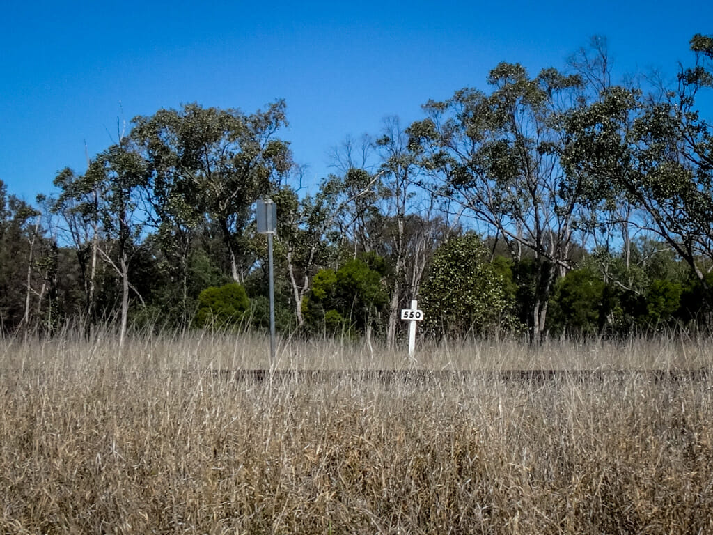
As we rode, I noticed small white markers beside the railway line.
This one said “550”.
I thought “But it’s further than that to Brisbane. What does it mean?”
Eventually I figured it out. The Western Line starts in Toowoomba and continues over 800 kilometres to Cunnamulla. This marker was telling me if we kept following the line for another 550 kilometres we’d end up in Toowoomba.
That was handy to know.
We continued along the dirt track all day. Occasionally there would be a slight turn a few degrees left or right as the railway line avoided low hills, but for most of the time it stretched over the horizon to the east.
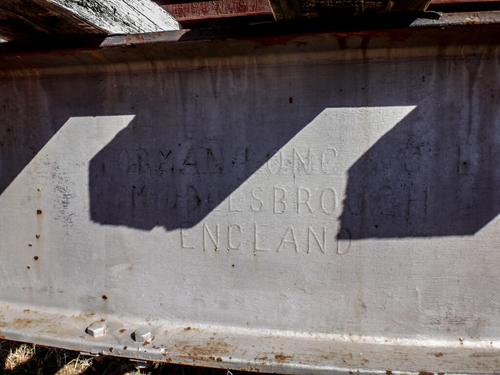
Sometimes we’d come across hints of colonial history.
Dorman Long is an English engineering company that was a major steel producer and bridge builder. Their girders form part of the Sydney Harbour Bridge.
This I-Beam has probably been sitting in the Mulga for over a hundred years faithfully holding up the railway line over a creek that has probably been dry for more than ninety of those years.
As we neared Morven, the track beside the railway line became rough and overgrown. We decided to take our chances on the highway for a few kilometres instead. 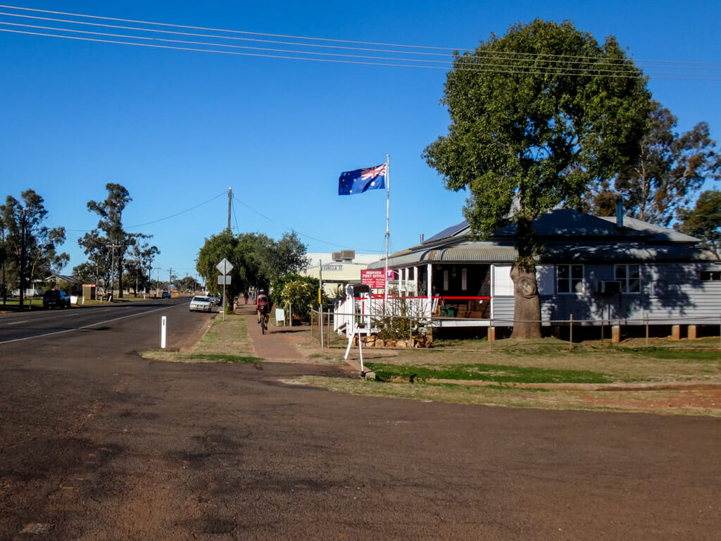
Eventually Morven came into view.
It wasn’t even 4pm, so I had time to pop into the general store and buy a few snacks.
Somewhere in the back of the shop, the tinny voice of a country singer twanged over the radio:
All among the wool boys, all among the wool.
Keep yer blades full boys, keep yer blades full.
I can do a respectable tally meself, whenever I likes to try,
They know me round the country as Flash Jack from Gundagai
I automatically started singing along – it was an old folk song I’d learned in my primary school days. Without realizing it, I also started doing a small jig as I sang along. Liz reckons that when I dance I look like a flightless bird flapping its wings hopelessly trying to take flight. I reckon I’m an awesome dancer – especially after a few beers.
The shopkeeper didn’t seem to notice, or mind.
Maybe they’re used to talented dancing cyclists gracing their floorboards.
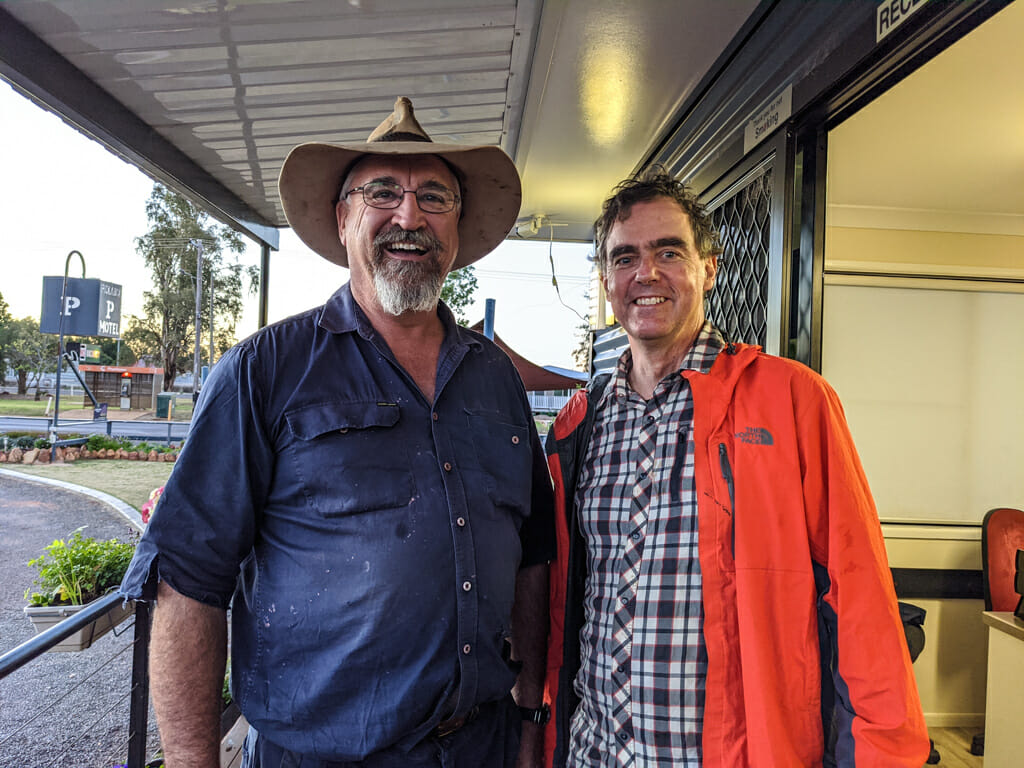
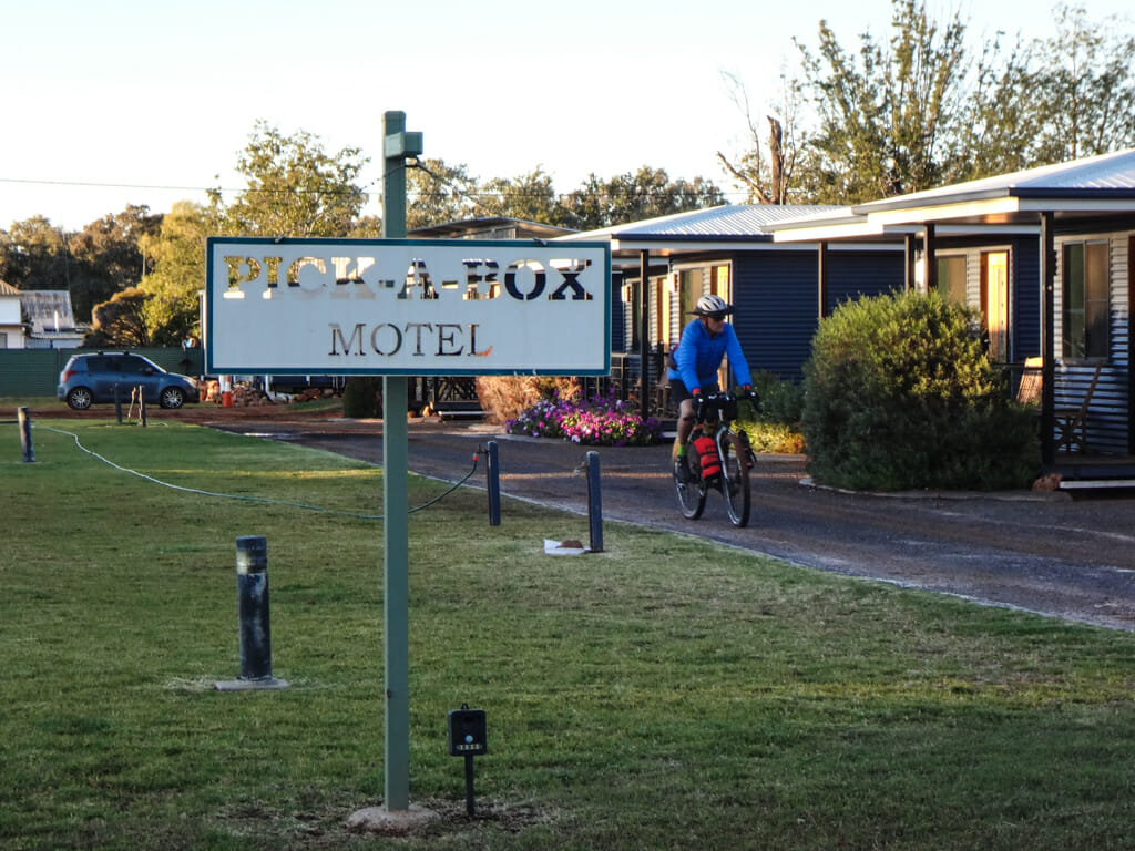
Darryl owns the Pick A Box hotel where we stayed for the night.
When he found out I was a home brewer, he insisted I tried some of his amazing brews.
An hour later I was very impressed. This former cook is a genius. He plans to open a distillery in Morven soon.
“We want to make Morven a place to go to, rather than go through,” he said.
I promised I’d return.
Total climbing: 809 m
Average temperature: 17.1
Total time: 10:02:07
Today’s ride was reasonably easing considering its distance. I’ll rate it 7 out of 10 on the tough-o-meter.
Day 2 – Morven to Mitchell
Top | D1 | D2 | D3 | D4 | D5 | D6 | D7 | D8 | D9 | Bottom
On our second day we decided to wait until the sun came up before starting our ride.
I didn’t want to have to deal with frosty fingers like I had yesterday.
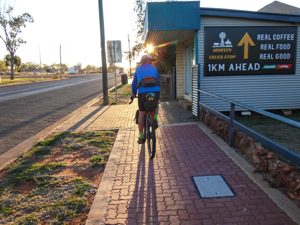
We rolled out of town towards the Morevn Truck Stop and bought some breakfast and a couple of rounds of sandwiches to eat at lunch time.
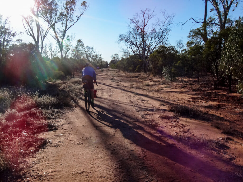
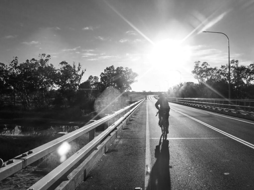
Sunrise and sunset are the most dangerous times to ride a bike on the road. It’s difficult for motorists to see cyclists when looking into the sun. So we got off the highway as soon as possible and headed into the bush.
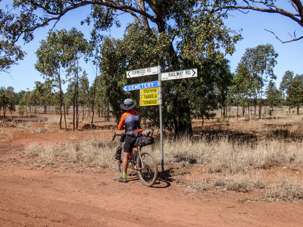
Today, instead of following the railway line, we followed a stock route on the other side of the road.
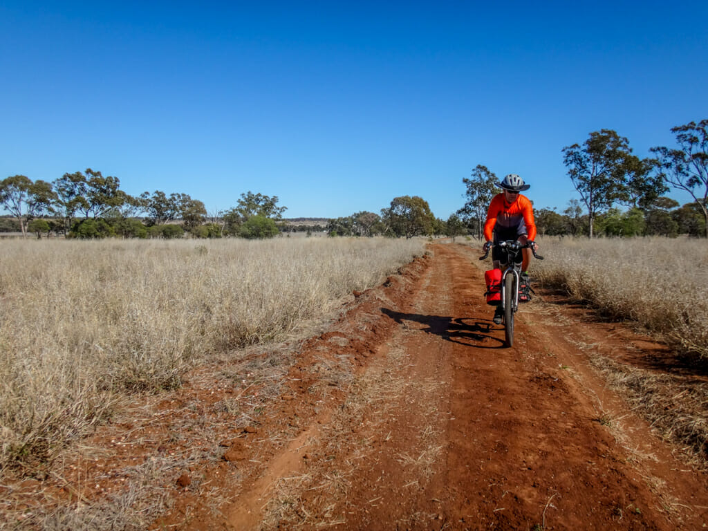
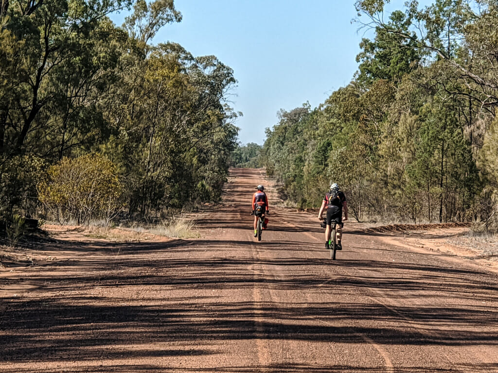
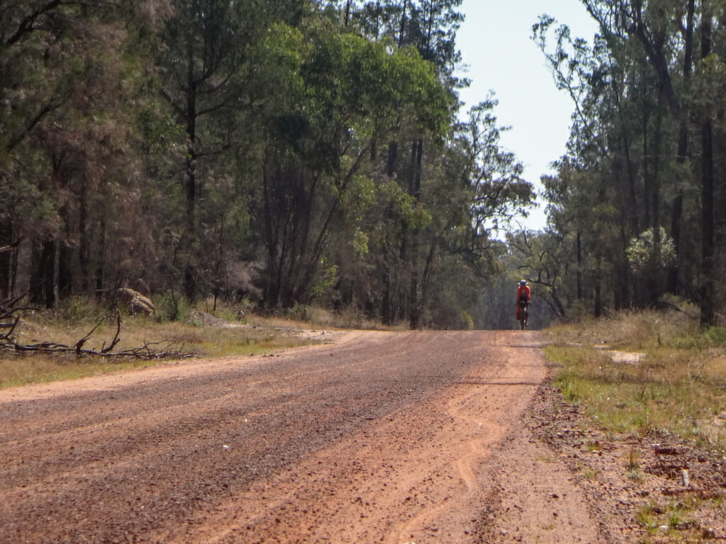
Like the railway track, it was long, red, straight, and soft in spots.
But it was beautiful and quiet. 
In parts, the track surface was clay – baked smooth and hard by the hot sun. It was wonderful to ride on
“Hey this is great!” I said to Paul.
“It’s even better than yesterday.”
As if on-cue, a couple of emus scurried across the road in front of us.
I’ve never encountered these strange flightless birds before while riding. Somewhere in the back of my mind, I thought of Liz’s description of my attempts at dancing. Perhaps I wasn’t as graceless as she thought I was 🙂 
Eventually the stock route rejoined the highway.
We were now a few hundred metres from the railway line, so we followed a section of old disused highway instead.
The road was slowly reverting back to nature, and had transformed into a fun Mountain Biking track complete with bumps, jumps and a couple of log rollovers.
Somewhere in the distance I heard the rattle of wheels on rails.
The Westlander was slowly making its way back to Charleville.
“It’s a lot smaller than I imagined,” I said to Paul. It looked like it was only hauling four cars. Perhaps the number of passengers on the train had been temporarily reduced to comply with government pandemic regulations.
The road we were on was actually another stock route, so instead of rejoining the railway line, we followed the dirt track for a while.
The track looked like it had recently been graded. I imagine it would get really difficult to ride on after rain.
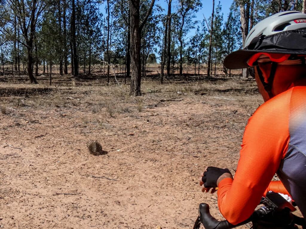
Paul pointed out something strange waddling through the dirt. It stopped, rolled into a ball, unrolled, then started moving again.
I’ve only ever seen an Echidna once before while riding.
These rare animals are monotremes – mammals which lay eggs and suckle their young. Apart from the Echidna, the only other animal in this category is the Platypus.
We kept our distance and let her trundle off undisturbed.
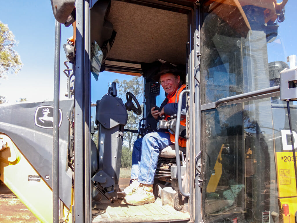
A short while later we met a council worker who had just graded the road.
We stopped for a few minutes to say “G’day” and tell him where we were headed.
He smiled politely and replied “Well that seems like a long ride,” then let us get on our way.
He didn’t seem overly surprised about our crazy plans – perhaps when you live in a place as unusual as this, “strange” is the norm, and nothing is surprising.
The newly graded road was soft under our tyres, which slowed us down slightly.
We followed the road for a while longer until it veered away from where we wanted to go, then re-joined the track beside the railway line.
My stomach told me it was lunch time, so we found a shady tree, laid down the bikes, and had a break.
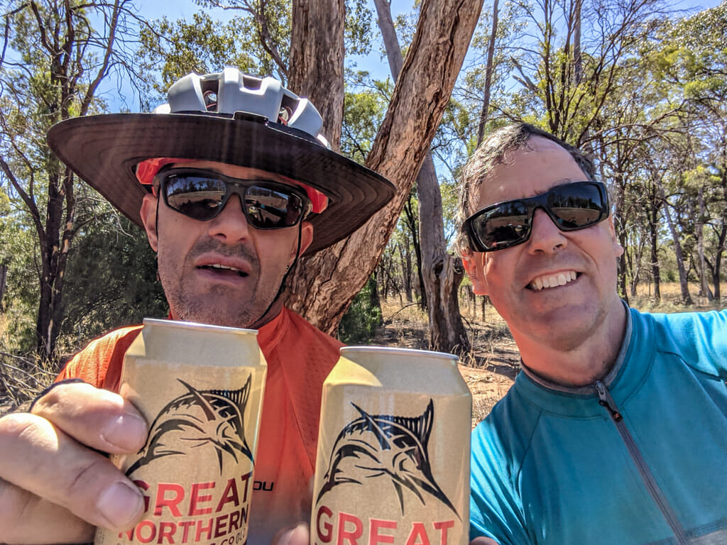
Paul pulled out a couple of cans of beer from his pack which went down well with the sandwiches I had purchased that morning. 
As we continued eastwards, the terrain seemed to undulate more than it had yesterday. The land wasn’t really “hilly” but it was no longer flat like it had been closer to Charleville.
A couple of Wedgetailed Eagles circled overhead.
They sometimes feed off dying animals and carcasses.
“You’re not getting me today, mate” I muttered under my breath. 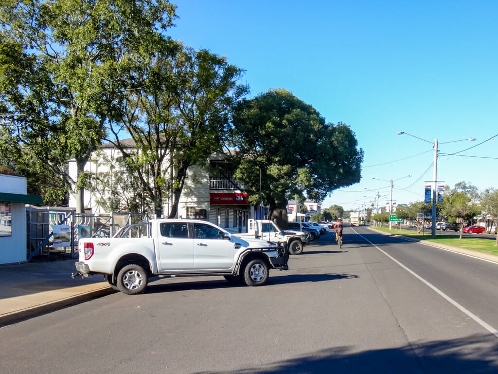
We rolled into Mitchell around 4pm.
I propped my bike up against a post outside the pub, and went inside to book a room.
While I was away, a lady backed her car into my bike.
I was upset when I came out to find the bike on the ground, but luckily, nothing had been damaged.
The lady apologised profusely, “Sorry, I was talking to my dad and didn’t see your bike.”
I calmed down and chatted to her and her father, Syd for a while.
Syd was 97 years old.
“You don’t look a day over 96,” I said to Syd cheekily. “Three more years and you’ll get a telegram from the Queen!”
I shook Syd’s hand, and like I often do when I meet old people, I asked him about his grandparents. I figure it’s a simple way to get first hand information about people who lived over a century ago.
“I don’t remember my grandparents very well,” he said slowly. “But my grandmother was from Sweden and didn’t speak a word of English when she arrived here.”
Good on ya, Syd. Make sure you let your daughter know all is forgiven about my bike 🙂
Total climbing: 763 m
Average temperature: 17.5
Total time: 09:20:21
More info
This section of the ride was slightly more challenging than the day before, with a bit of bashing through overgrown tracks and some softer sections. I’ll rate it 7.5 out of 10 on the tough-o-meter.
Day 3 – Mitchell to Roma
Top | D1 | D2 | D3 | D4 | D5 | D6 | D7 | D8 | D9 | Bottom
Winter mornings in Mitchell are cold.
As I sat shivering outside a cafe warming my hands around my coffee, Shane walked by.
“It’s a bit fresh this morning isn’t it?” he joked.
I was stunned. This bloke was wearing just shorts and a tee-shirt on a cold winter morning.
“Gee you guys are tough,” I replied.
It takes a special sort of person to live out west.
As the sun slowly clawed its way up the eastern sky, Paul and I coasted out of town.
We crossed the Maranoa River, another major tributary of the Murray-Darling inland river system.
The indigenous name for this river is “Illmargan”. It’s important to the Gungarri people, who are the traditional owners of the area. They lived along the banks of this river, fishing, gathering water, and socializing.
We followed the highway for a few kilometres until we were able to rejoin the track beside the railway line.
Today, the track surface was much softer.
Blacksoil tracks are difficult to ride on in any weather. In the wet the dirt turns into tar-like mud, and sticks to everything. When dry, it crumbles into a coarse powder.
Our tyres sunk in the soil and slowed our progress.
Another hungry bird of prey kept an eye on us, ever hopeful for an easy meal.
Eventually Paul and I gave up on the black soil, pushed our bikes a few hundred metres through the dry grass, in order to ride on the road for a while.
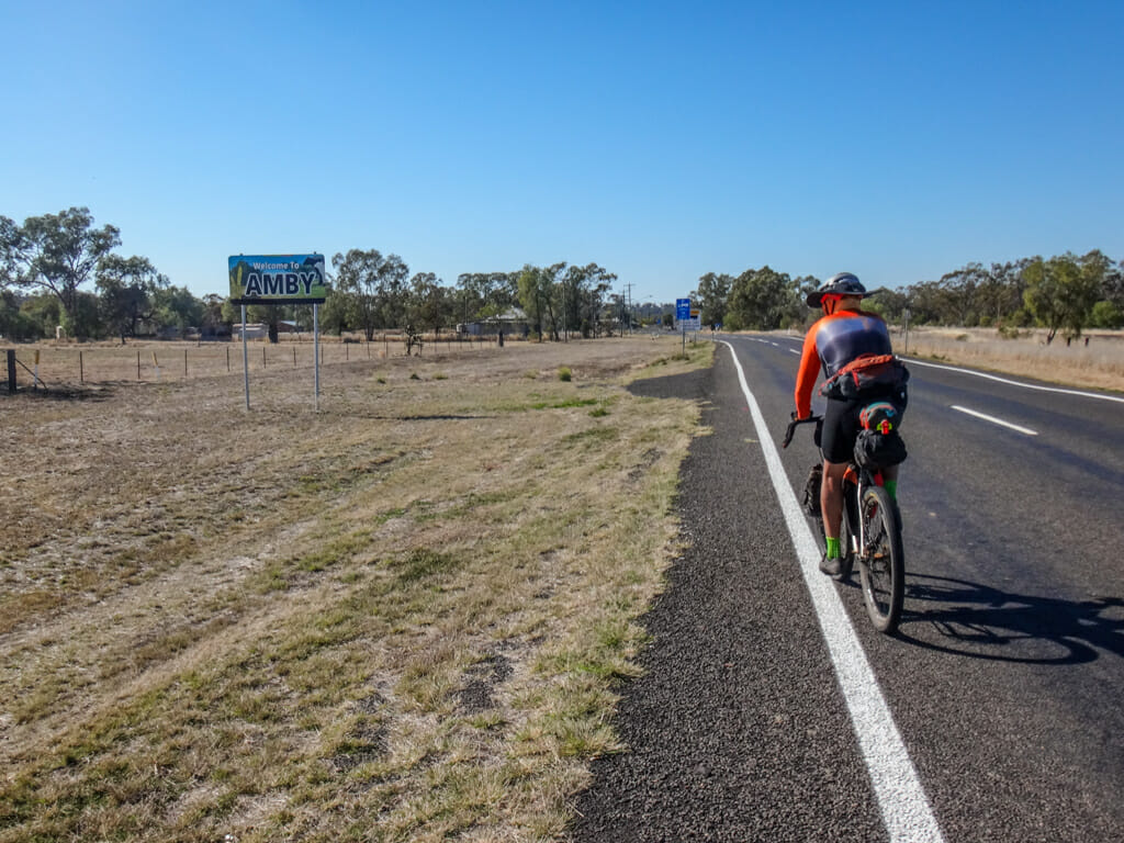
Thankfully there wasn’t much traffic, and we arrived in the small town of Amby soon after. 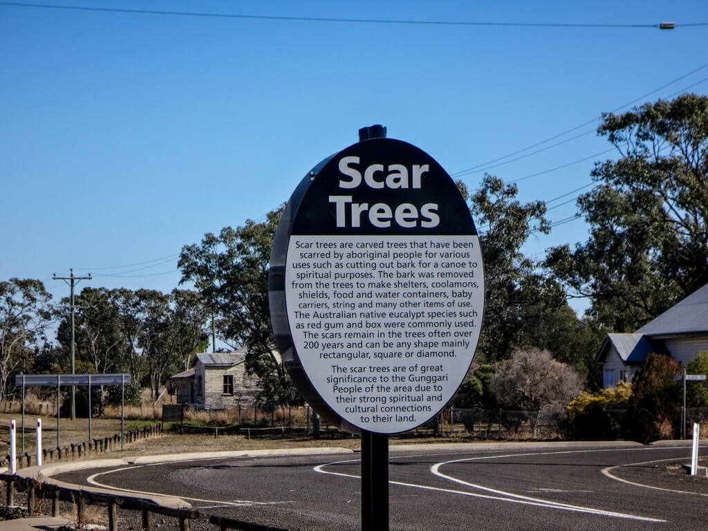
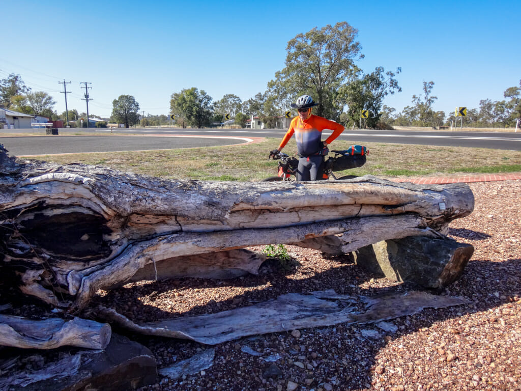
We checked out some of the Gunggari scar trees on the outskirts of town. The trunks of these old trees bear scars from where wood was cut away to make shields, containers and shelters. It’s an important cultural link for the local Aboriginal people.
There didn’t appear to be anything happening in Amby except for a few sheep playing in someone’s front yard.
At this point we had to make a decision on our route. The highway and the railway line went in different directions and wouldn’t converge again for at least another hour’s riding.
Should we take the highway or the railway?
We decided on the railway.
Riding on the road would have been easier, but that’s not why we were here. 
This section of track was remote. There was no highway for us to retreat to if progress became difficult. We’d just have to soldier on.
Once again, the Black Soil made it difficult to ride. We persevered for about fifteen kilometres, joking about how this would be a great place to bring someone for a ride… if you didn’t like them very much.
We rejoined the highway again for a few kilometres near Muckadilla, where we stopped for lunch. 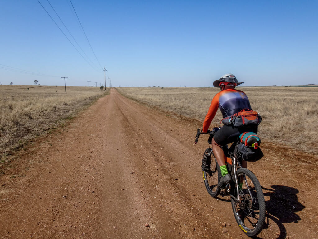
After lunch, we left the highway and rode north along a stock route.
This would lengthen the remainder of our ride to Roma by an extra ten kilometres, but it was worth the effort.
The Bungeworgorai Stock Route is a magical place. Horizons stretch forever, punctuated by the occasional tree.
I think vast open places are good for the soul.
Paul rode on ahead. I stopped to take a few photos and soak it up.
This city boy was happy.
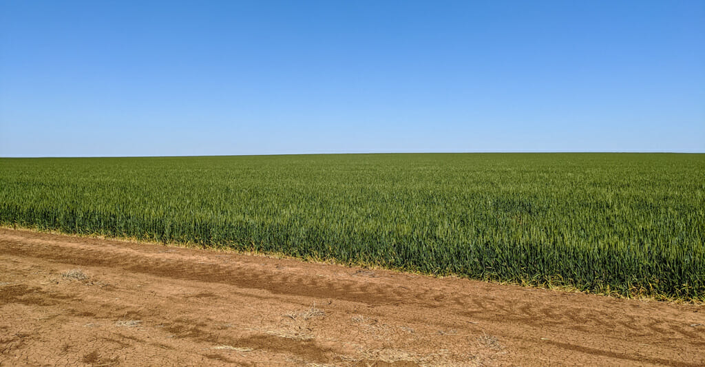
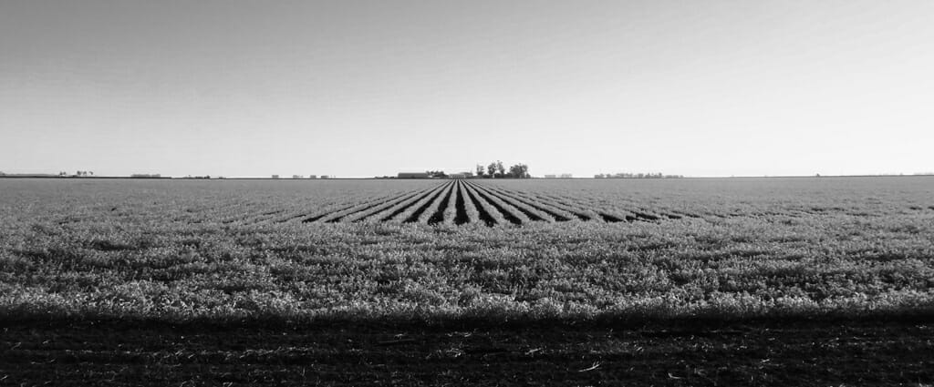
I was overwhelmed by the size of one particular paddock.
The green crop extended as far as I could see. How was it possible to plant something that big, then water it, and harvest it?
We made the right choice to take “The road less traveled”.
I wonder how many people drive through this area and never see such things?
It was now a couple of hours since we’d stopped for lunch, so we found some more shade and took another break.
I had run out of sandwiches, so munched on a few jelly babies. They’re not very nutritious, and really bad for your teeth, but they seem to perk me up when I’m feeling tired. I humorously call them my “antidepressants”.
We encountered a lot more hills on our meandering route to Roma. These were the first real hills we’d encountered since we had started. Paul powered on, and waited occasionally for me to catch up. 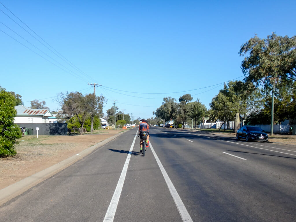
We rolled into Roma mid-afternoon, riding along an impressive bike lane – our first for the trip.
Total climbing: 795 m
Average temperature: 21.2
Total time: 09:09:55
More info
This section was more challenging than previous days. The track beside the railway was much rougher and softer than previous days, and there were more hills. I’ll rate it 8 out of 10 on the tough-o-meter
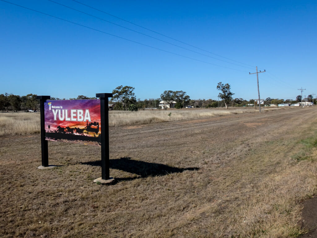
Day 4 – Roma to Yuleba
Top | D1 | D2 | D3 | D4 | D5 | D6 | D7 | D8 | D9 | Bottom
Roma is a grand old town, with wide avenues lined with stately bottle trees.
Compared with the last few towns we had visited, it felt like a metropolis.
We left the railway and highway behind us, and rode north-east out of Roma, along a dirt road.
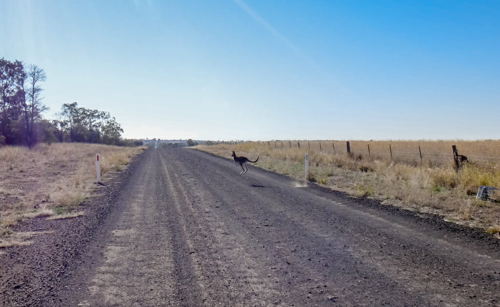
As we rode, we spooked a few kangaroos who bounded down the road ahead of us.
The larger ‘roo made an impressive two-metre-high leap over the adjacent fence.
The smaller ones kept fleeing ahead of me, eventually cutting in front of me in order to escape.
It was fascinating to watch.
We had cycled for a couple of hours and were feeling peckish, so we found another shady tree in a ditch by the roadside, and had lunch.
This was getting to be a fun ritual for us both: Ride till hungry. Find a shady tree. Rest. Repeat.
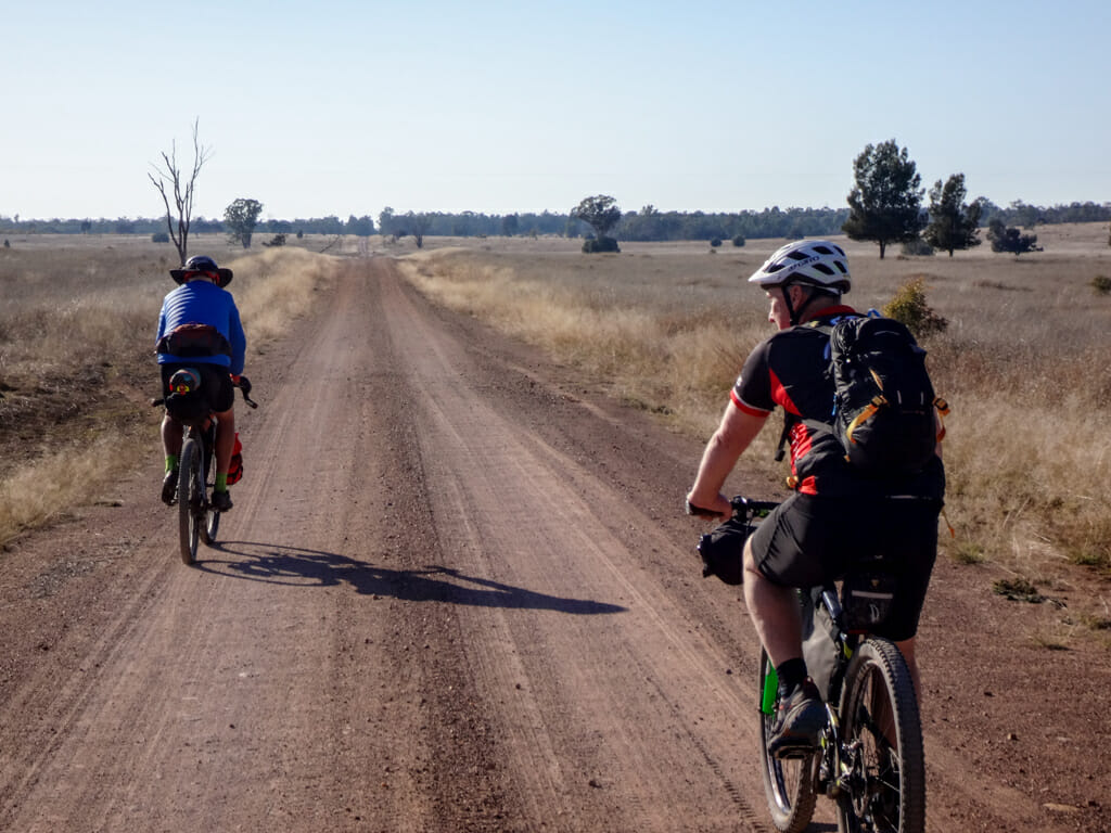
Not long after that, the paved road ended, as our tyres crunched on a delightful smooth gravel road.
Paul pulled ahead on the hills. I chugged along at my own pace, happy knowing that he’d eventually wait for me.
On long rides, most riders find it easier to listen to what our legs are telling us rather than trying to catch up to someone else.
My eyes lit up when we encountered another “Stock Route” sign.
The arrow pointed up another dirt road, so we followed it.
At first it was just like any other gravel road…
…but eventually the surface grew rougher and reminded us this was the domain of cattle, not of bicycles.
An old Southern Cross windmill turned faithfully in the breeze, pumping bore water into a small dam.
“Hey I don’t mind this,” I yelled out to Paul. This is a great track.
Paul agreed.
An hour later we re-emerged on the Warrego Highway a few kilometres out of Yuleba.
We tried riding on the track beside the railway line, like we had been doing for the last few days, but it was too overgrown.
I laughed. This was ridiculous.
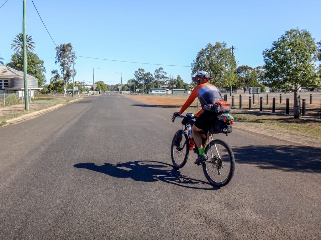
We pedaled along the highway for the last part of the day until we arrived in town.
Total climbing: 872 m
Average temperature: 21.9
Total time: 07:24:51
More info
This section was reasonably easy, with a few hills around Blythedale. It rates 7.5 out of 10 on the tough-o-meter.
Day 5 – Yuleba to Condamine
Top | D1 | D2 | D3 | D4 | D5 | D6 | D7 | D8 | D9 | Bottom
Simon joined us the next morning in Yuleba.
We said goodbye to the railway line that we had been following for the last four days, and pointed the bikes southward.
Now there were three of us.
I really enjoyed riding with Paul, but we were both happy to have an additional person with us.
Together we rode past several kilometres of vast flat cattle paddocks towards the state forest.
Yuleba State Forest is huge. The roads go in one direction for ages. I think you could ride in here for a week and not ride on the same track twice.
Some people might ask if this sort of riding is boring because you’re riding in the same direction for several hours, and the scenery doesn’t change much.
But it’s really enjoyable.
The flat terrain was easy to ride, which gave me lots of time to relax and absorb my surroundings.
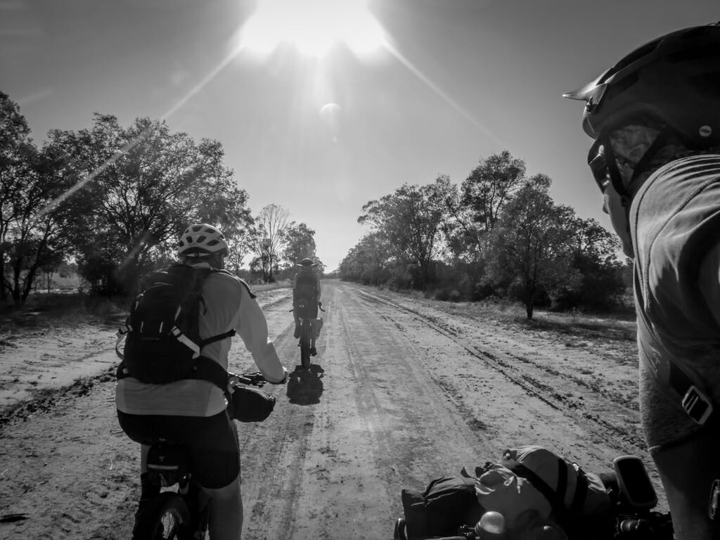
It gave us lots of time to talk as we watched endless trees drift past us.
No discomfort. No excessive effort. It was a wonderful experience…
…and (of course) we made sure to enjoy our traditional roadside stop when our hunger prompted us.
When Simon did this ride solo a year earlier, the course I had prepared for him accidentally sent him through a chest-high creek.
I didn’t want to repeat the same mistake, so I made sure we wouldn’t have to swim today.
The creek crossing was muddy, but we were able to pass through it without getting wet at all. 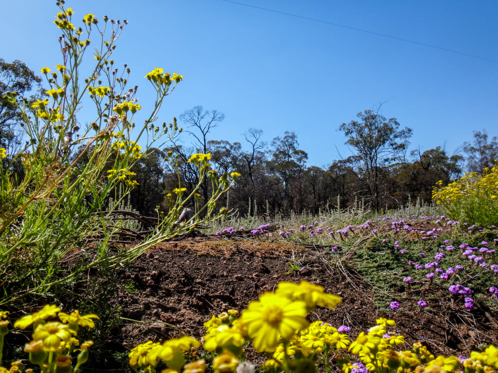
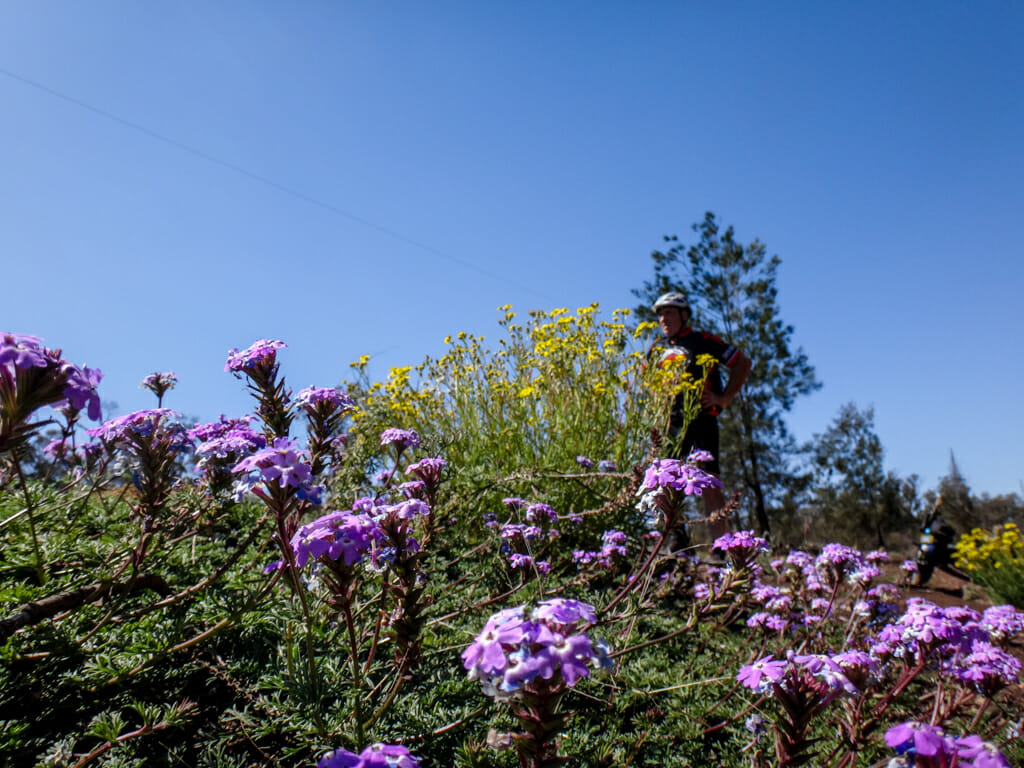
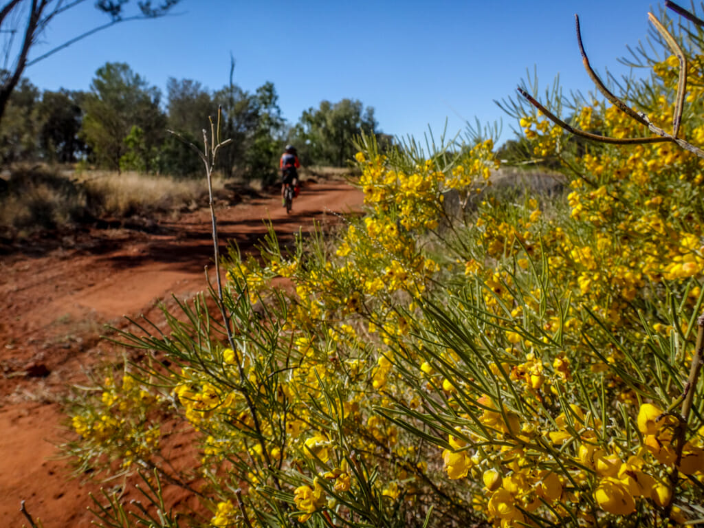
A little further on, the ground beside the trail was festooned with flowers.
None of us expected such a stunning display, so we stopped to check it out.
Eventually the forestry track disgorged us onto the Condamine Highway.
This quiet narrow paved road stretched over the horizon in one direction for about forty kilometres.
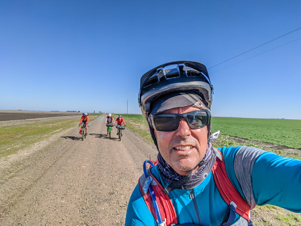
We grouped ourselves into a disheveled-looking peloton and continued east towards Condamine 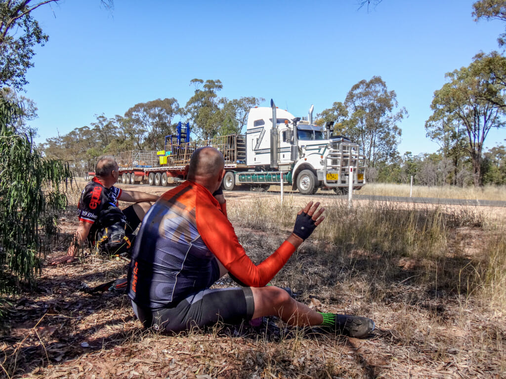
The Road Trains on this road were much shorter (only two trailers) compared to the monsters west of Roma, but we gave them a wide berth nevertheless. 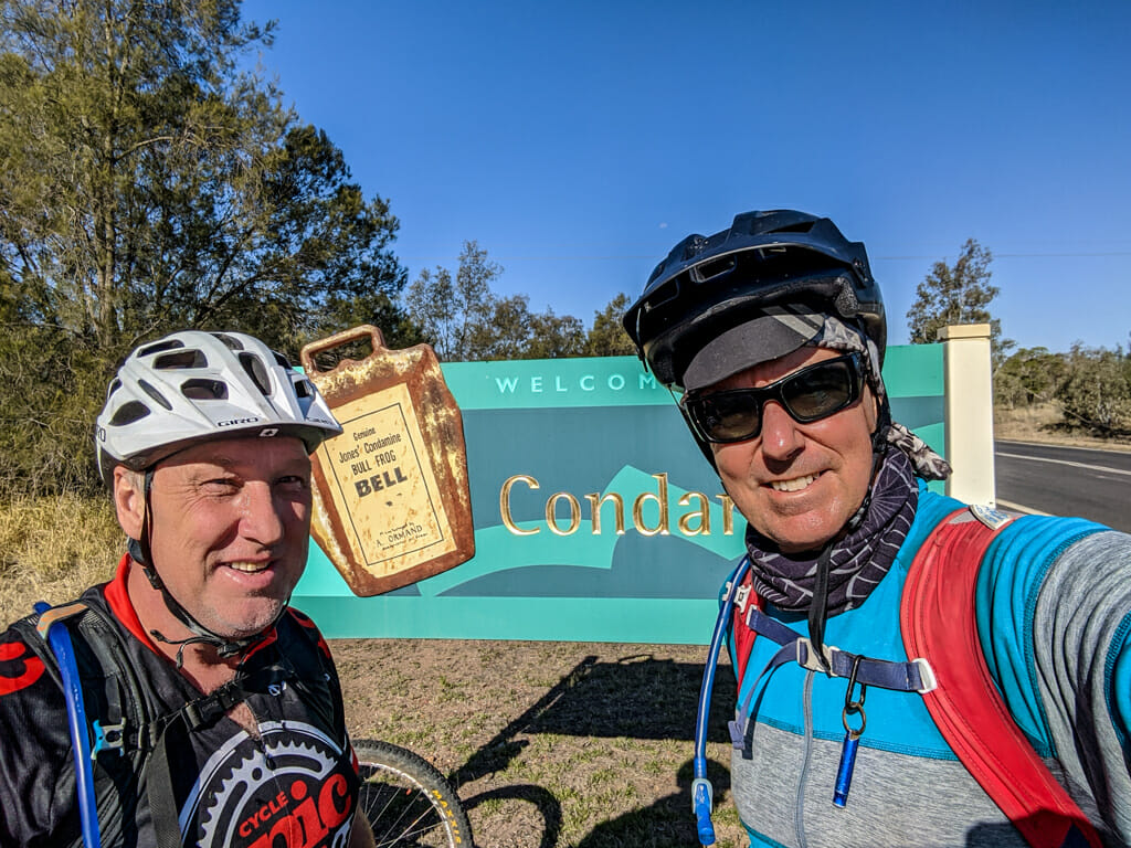
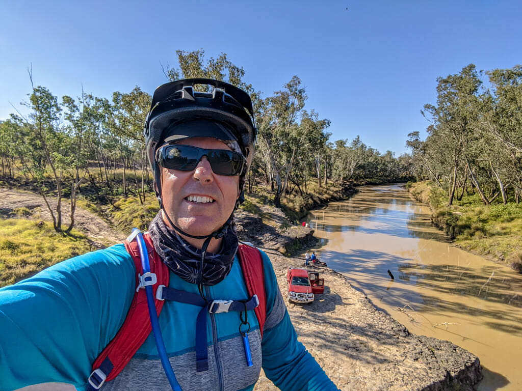
A couple of hours later we rolled into Condamine.
This beautiful little town sits on the banks of the Condamine River – another important inland river which forms part of the Murray-Darling system
We had now crossed three of Australia’s great rivers in five days.
I found it hard to imagine this place in flood. In 2011, the river peaked here at over fifteen metres, broke its banks and devastated the town.
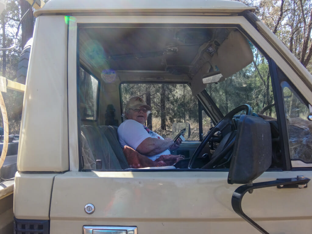
As we sat in the Condamine Pub relaxing at the end of the day, Jack came up and introduced himself. He had left his cigarettes at home and was wondering if we had some to share with him. None of us smoked, so I apologized and took his photo instead.
When I told Jack about where we’d been, he made a strange suggestion. He said he thought the town of Amby should have its name changed to “Mamby”.
I looked confused.
“Well,” he explained, “when you drive west from Roma towards Charleville, every town you pass through starts with the letter ‘M’ except Amby”.
I thought to myself… Mount Abundance, Muckadilla, “Mamby”, Mitchell, Mungalalla, Morven…
Jack, you’re a genius!
Total climbing: 694 m
Average temperature: 23.3
Total time: 08:10:20
More info
This was a nice easy flat ride. I’ll rate it 6.5 out of 10 on the tough-o-meter.
Day 6 – Condamine to Tara
Top | D1 | D2 | D3 | D4 | D5 | D6 | D7 | D8 | D9 | Bottom
We had a sleep-in and left Condamine a little later. Our ride to Tara would be relatively short (only about 70km) so we had lots of time.
We enjoyed a hearty cooked breakfast at the local service station before setting off for the day.
After about ten minutes on the highway, we turned right and headed off down another dirt road.
We learned very quickly that when you’re riding on dirt and see a truck coming in the opposite direction, your best strategy is to get right out of the way and let them pass.
Simon thought he’d also add a bit of PPE to keep the dust out.
Just like the day before, today’s course was dominated by long straight lines.
It would be a novelty to actually change direction. 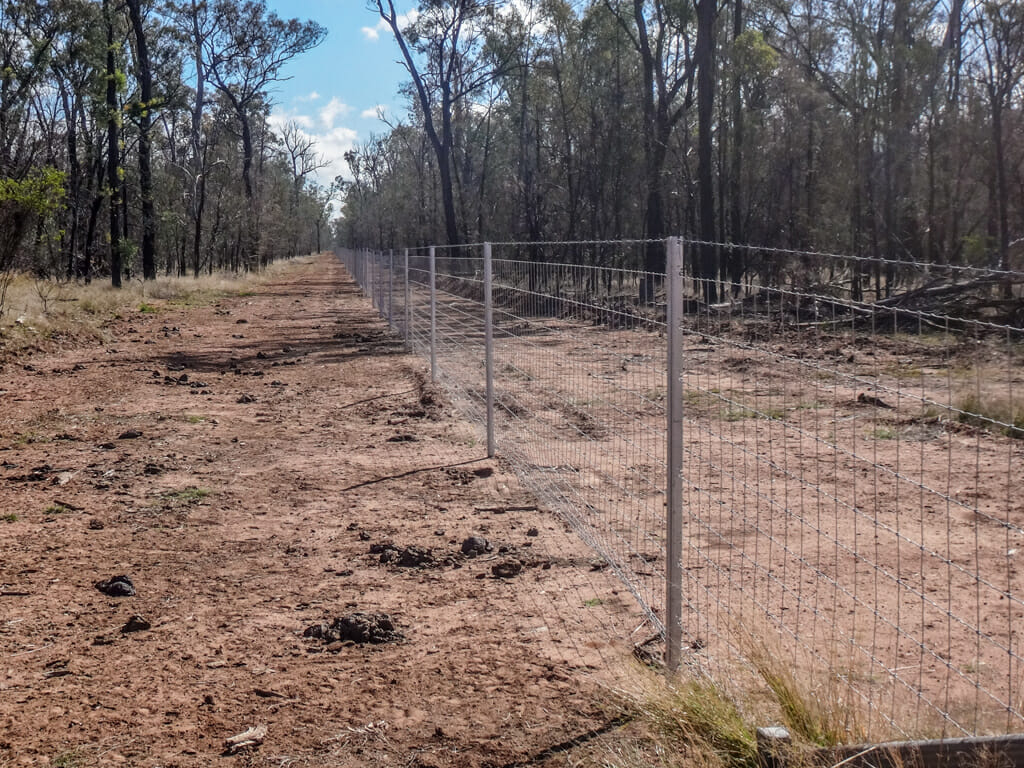
I found the fences mesmerising, especially if I lined my eye up with the top of the fence and looked along it.
They seemed to go on infinitely, disappearing at the horizon.
This particular fence was designed to keep wild dogs out. 
Simon pointed out a few dried bones hanging from a tree.
Shooters hang the carcass of any dogs they shoot from a tree to let farmers know when a particularly troublesome animal has been dealt with.
Just like yesterday, we eventually emerged on another long, straight, paved road, and ended the day cruising the final few kilometres into town.
I was very happy. We had finished riding for the day and it was only lunch time.
We could spend the rest of the day doing absolutely nothing – what a treat! 
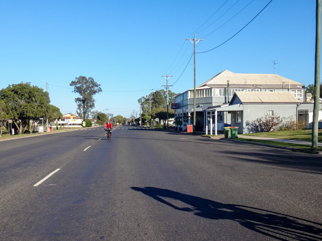
We rolled down the main street, found our accommodation, and took it easy for the rest of the day.
Tara is a quiet place on a Sunday afternoon.
Total climbing: 384 m
Average temperature: 23.7
Total time: 05:46:37
More info
A wonderful short ride today rates 6 out ot 10 on the tough-o-meter.
Day 7 – Tara to Cecil Plains
Top | D1 | D2 | D3 | D4 | D5 | D6 | D7 | D8 | D9 | Bottom
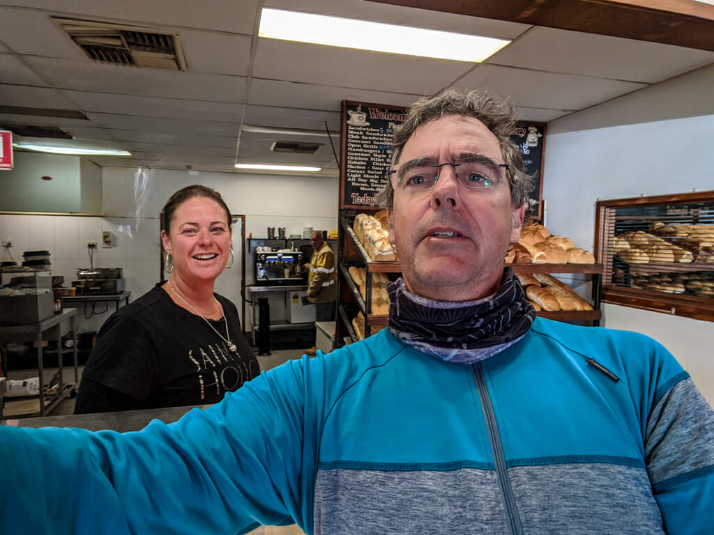
The next morning I said to the lady in the cafe “I don’t mean to sound like a big city wanker, but do you have any croissants?”
She laughed and shook her head, so I took her photo instead.
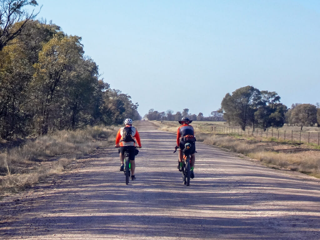
This was getting to feel very familiar. Just like the previous couple of days, we rode eastward out of town for a few minutes until we came to a long, straight, gravel road; then followed it.
Ah – what an easy way to start the day!
No hills. No corners. No obstacles. Just keep the front wheel straight and keep up an easy pace for a few hours.
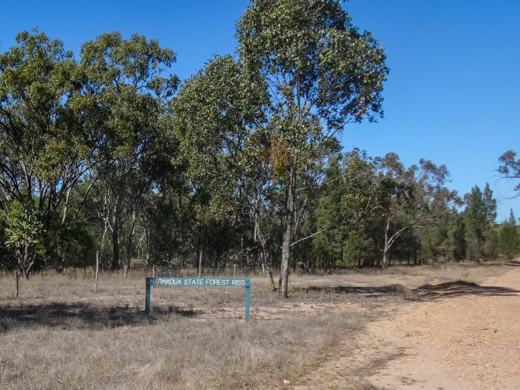
At the entrance to Marmadua State Forest we came across a “School Childrens Shelter”.
It was barely a metre high.
Could you imagine a bunch of kids sitting in this little hut in the rain, or the heat of summer, waiting for the school bus?
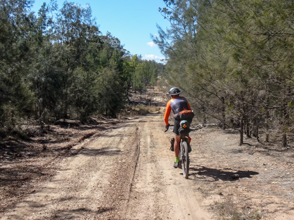
The tracks in Marmadua were more challenging. We had to dodge ruts in the ground made from occasional heavy rain.
After the monotony of the last few hours, it was fun to dodge obstacles and bumps on the trail.
My appetite told me it was time for something to eat, so we parked the bikes, and had a quick rest stop.
After riding on for another hour, we reached a main road. But this time, instead of following it, we crossed it and continued through the forest.

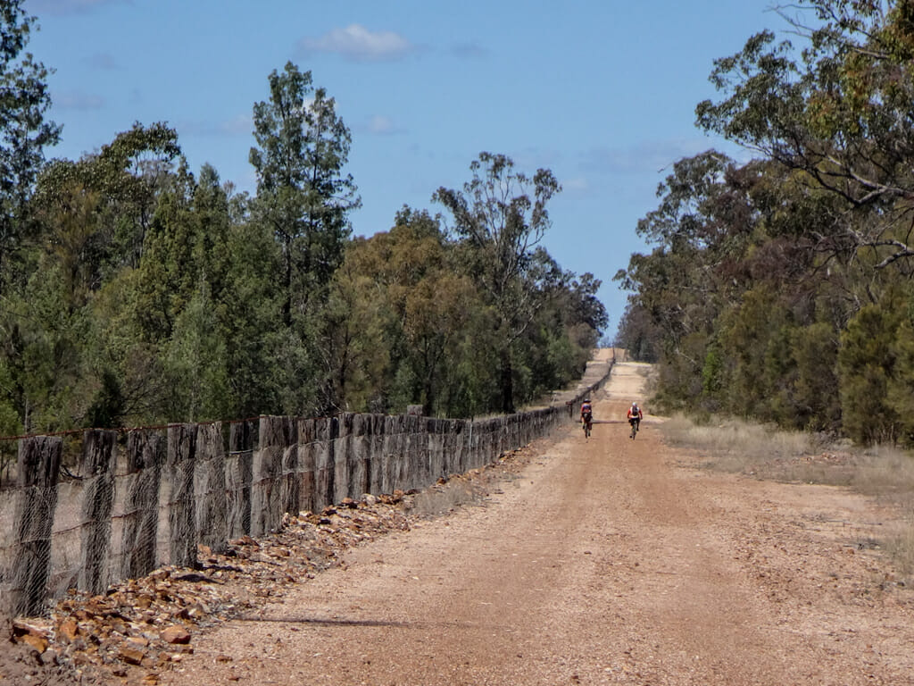
We followed a high fence, built to control the spread of rabbits and dogs.
It took me a while to realize we were on the wrong side of it, but thankfully there was a gate a bit further on through which we could pass. 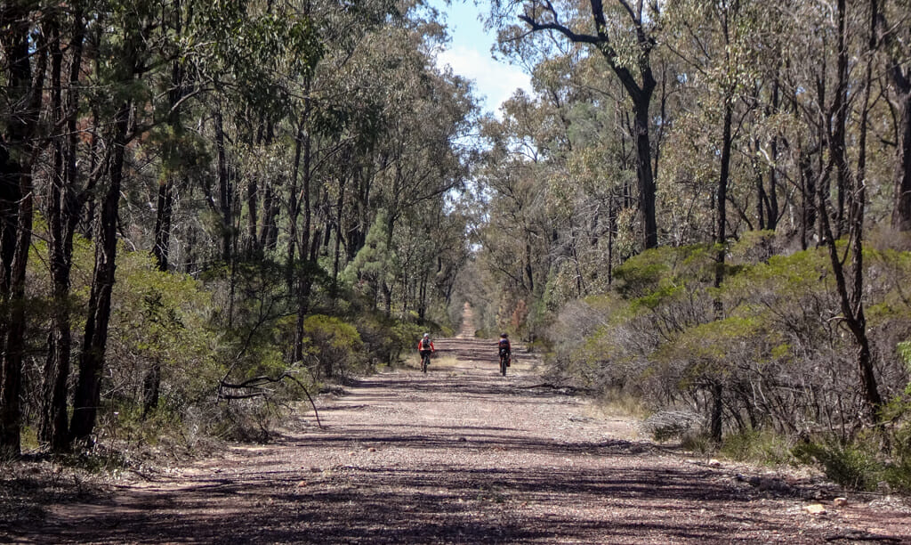
All these dog and rabbit fences got me thinking about wild dogs.
A few hundred metres ahead, a mangy looking canine popped his head out of the trees and looked down the track at us.
It worried me, and I suggested we ride close together for a while, to discourage any attacks.
Thankfully, we saw no more dogs as we followed the endless fence eastwards.
This old hut was once the residence of the man who maintained the rabbit fence.
The “RB” in “Halliford RB Reserve” stands for “Rabbit Board”. Successive governments in Queensland have built and maintained a network of barrier fences for over a century, to control the spread of pests like rabbits and wild dogs.
It has been a massive undertaking with barrier fences stretching for hundreds of kilometres.
At lunch time, Paul cracked out a couple of cans of beer and we took another rest stop.
The fence kept going forever in one direction.
I was amazed at the effort which would have been invested in building something like this, and maintaining it.
We eventually left the fence, and followed a corrugated road towards Cecil Plains.
The surface was firm, but bumpy, like the wavy sheets of iron on a tin roof.
As I rode, my teeth chattered from the bumps. We still had a long way to go, so this wasn’t ideal: it would slow us down.
We steered our bikes from one side of the road to the other, in search of smooth sections with no corrugations.
Near the exit from the State Forest, we met Dave and Colleen who had been tending their bees in the forest.
These places are popular with bee-keepers. The bees love the wild flowers, and improve the viability of any flowering plants, including some of the huge long-lived trees.
We left the forest, crossed the barrier fence once last time, and rode the final stretch of paved road into Cecil Plains.
Day 7 was complete and left me wondering, who was this mystical “Cecil” after whom the town was named?
At the pub, I said G’day to Chris.
He used to work as the local butcher until the owner of the shop sold it. He then spent a few years as a gardener for the council.
Total climbing: 664 m
Average temperature: 25
Total time: 07:58:34
More info
This one rates 7 out of 10 on the tough-o-meter.
Day 8 – Cecil Plains to Cambooya
Top | D1 | D2 | D3 | D4 | D5 | D6 | D7 | D8 | D9 | Bottom
The next day solved a mystery for me.
The town of Cecil Plains was named after a pastoral station owned by Henry Stuart Russel.
In the 1840’s he named his homestead “Cecil Plains” after his mother: Cecil Charlotte Russel.
I was amazed – what parent would name their baby girl “Cecil”?
Calum joined us today.
He had ridden out from Cambooya the day before.
This was wonderful – there were now four of us.
We crossed the Condamine River a second time.
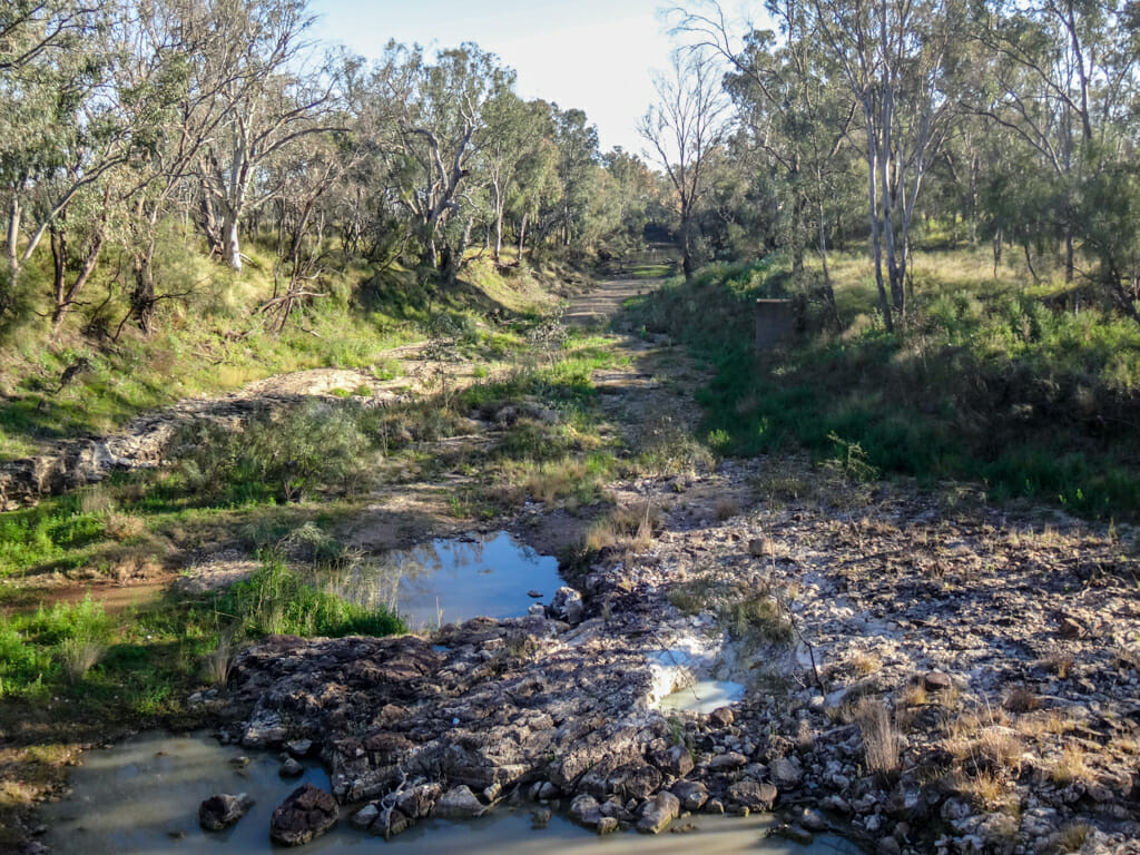
She was looking very dry today – not flowing at all, and only one or two brown pools.
The landscape had definitely changed today.
No longer in endless state forests, we were now surrounded by vast green fields which spread out around us in every direction.
We rode on the main road to Toowoomba for about an hour, before turning down yet another dusty dirt track.
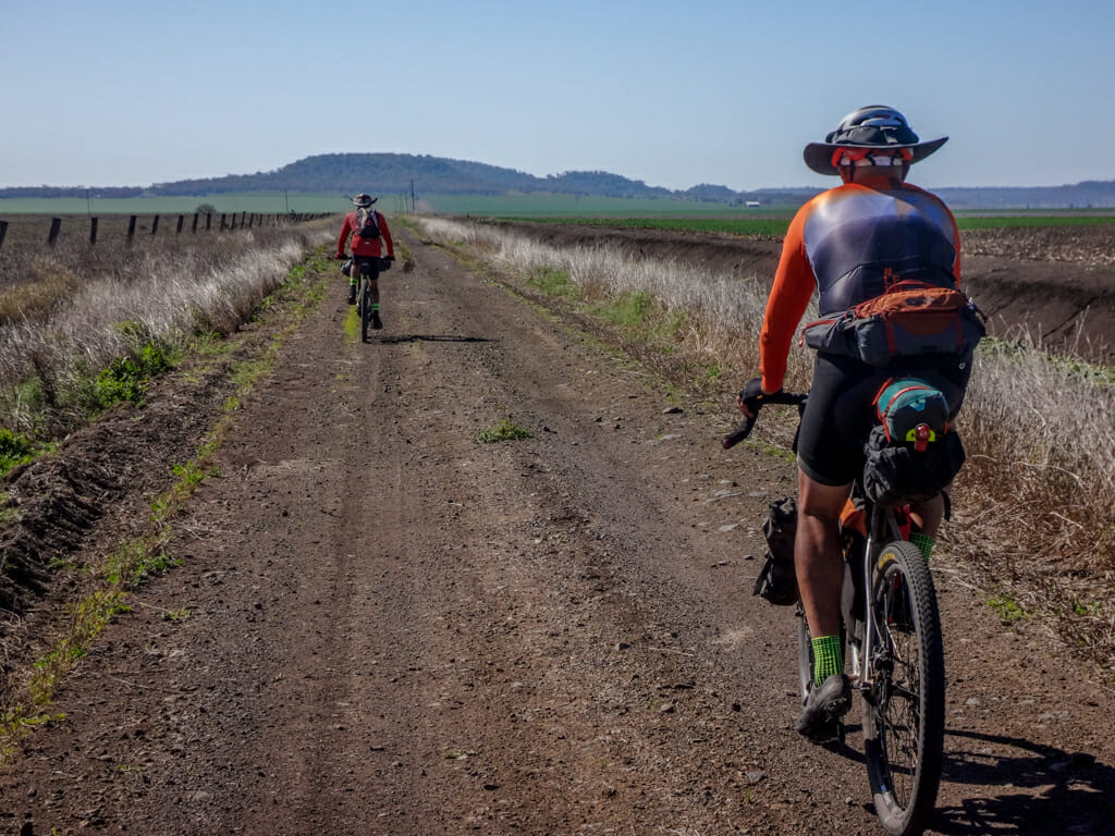
The bump on the eastern horizon was Mount Tyson.
We followed the track towards it.
The farm machinery out here is huge.
We moved well out of their way to let them through.
It looked like our course was leading us through a farmer’s field.
I was glad to see the “Dry weather road only” sign which confirmed it was, in fact, a road.
I was also glad we were enjoying dry weather. When wet, I imagine it would be easy to sink in the soft mud.
After a couple of hours, we introduced Calum to our customary roadside rest.
I sat in the shade and gazed towards the western horizon, feeling fortunate to be able to live in such a vast country, and to be able to explore it.
We stopped briefly in Mount Tyson, but there were no shops open.
Simon found an old tractor in a kids playground, and told me he would like to swap his seat for the one on the tractor.
We convinced him to keep his old bike seat instead.
When Simon had come through here a year ago, he had headed for the small town of Southbrook for lunch.
I wanted us to go a different way because I thought it would reduce the amount of busy roads we’d have to ride on.
My friends were not impressed when my suggestion meant we had to ride for a few kilometres up a hilly and reasonably busy road.
The inconvenience paid off in the end. We rolled down the other side of the hill, crossed the highway and railway line, and ended up on some quiet backroads west of Cambooya.
There were a lot more hills today than there had been over the previous few days, but our legs had hardened up – we just pushed on slowly and enjoyed the view.
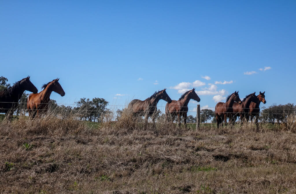
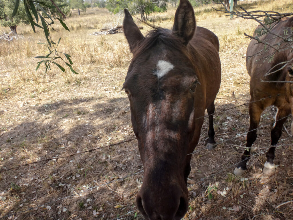
At our final stop before Cambooya, a bunch of horses came over to the fence to check us out.
They were skittish, so I chattered to them while I tried to photograph them.
“Hello horses!”
Click!
“Don’t mind me – I’m just a funny looking horse on wheels.”
Click! Click!
They didn’t buy my story and galloped off indignantly, but I didn’t mind. I’d stolen a few pictures.
We arrived in Cambooya mid-afternoon.
The “Bull and Barley Inn” looked delightful. I was sure we had come to the right place for the night.
I was sore, but my body seemed to be hungry for something more substantial than beer, so I gulped down a chocolate milk instead.
This was our final night.
As I looked out over the balcony outside my room, I felt happy. It looked like we were actually going to succeed in this crazy adventure. I’d be home this time tomorrow – this had been the longest I had been away from my family and I missed them.
Total climbing: 794 m
Average temperature: 24.8
Total time: 07:12:10
More info
I’ll rate this one 8 out of 10 on the tough-o-meter. Simon’s route via Southbrook would be easier and rates 7 out of 10.
Day 9 – Cambooya to Rosewood
Top | D1 | D2 | D3 | D4 | D5 | D6 | D7 | D8 | D9 | Bottom
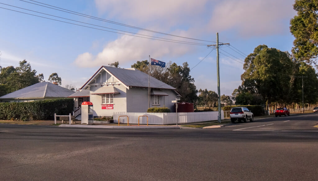
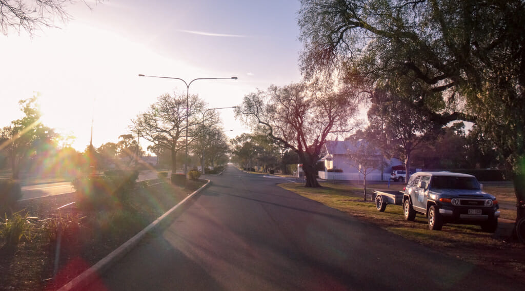
Cambooya is a gorgeous little town with a fascinating history.
Two early pastoralists, Arthur Hodgson and Robert Ramsay were “old boys” of a couple of prestigious English public schools.
Hodgson named his property “Eton Vale” after Eton, his old shool.
Ramsay named his property “Harrow” after his old school, in the spirit of old school rivalry.
The main street in town is Eton Street, which intersects Harrow Street, named after the original pastoral leases.
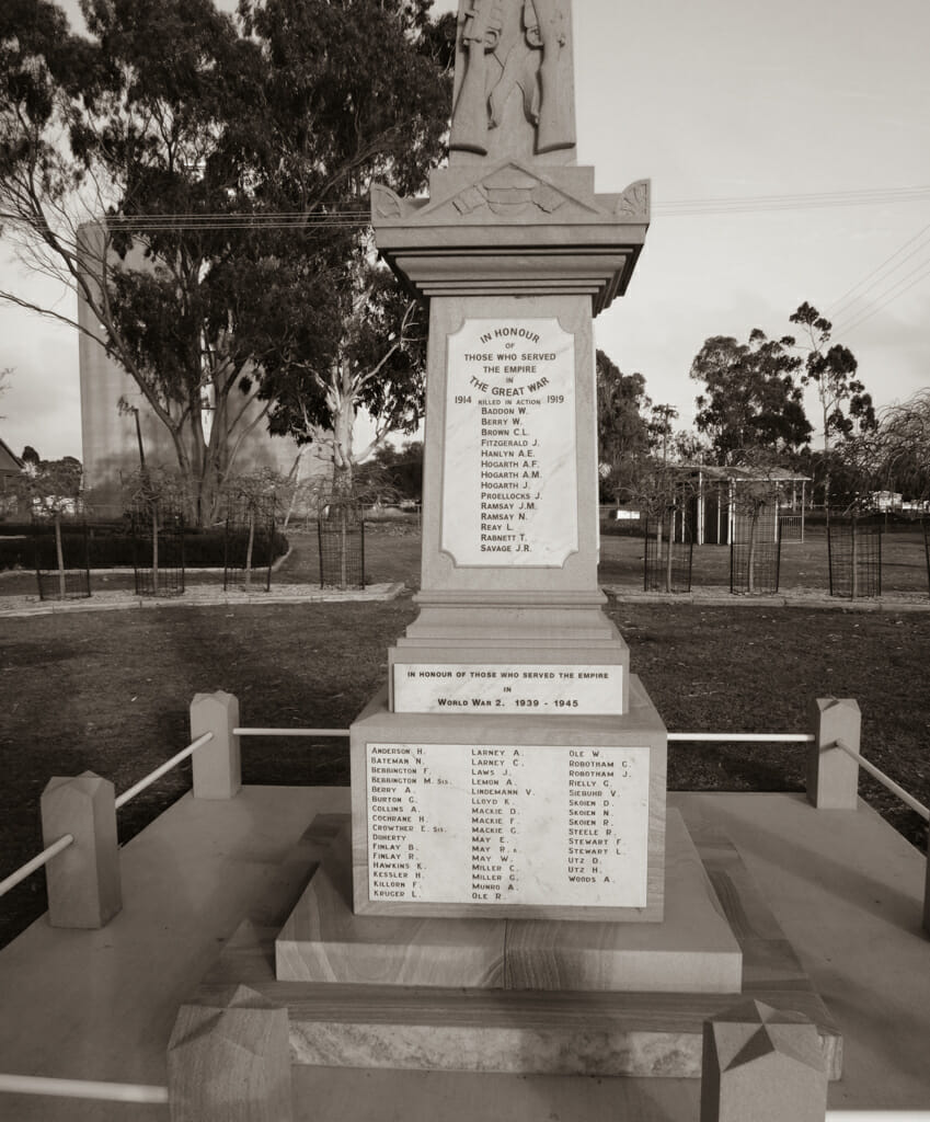
The townsfolk had more than their fair share of tragedy during the First World War. Many families sent out all their sons to fight, never to see them again.
It was sobering to think that this time, a century ago, how much heartache would have hung in the air of this town.
Calum had driven his car to Cambooya a couple of days earlier.
This made life much easier for us. We loaded our bikepacking gear into the car to lighten the load, and rode the final day on lighter bikes.
Calum would ride with us for some of the day, then return to his car and drive to meet us in Rosewood.
This would save us having to catch the commuter train home from Rosewood at the end of the day, during peak hours.
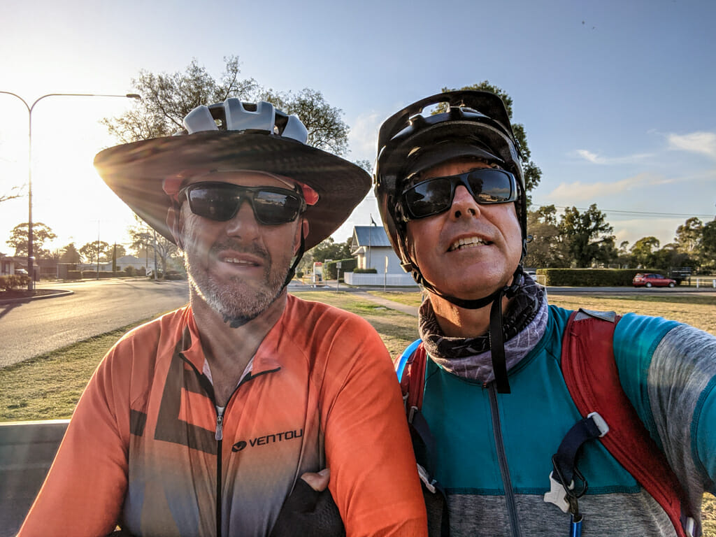
Before we set off, I stopped for a quick chat with Paul.
He had agreed to my crazy plans and had stuck with me for the last ten days.
It’s rare to find someone you can go on an adventure with for hundreds of kilometres, and still like being with them at the end of that time. Paul is one of those people.
Early morning mist hung over the fields as we rode out of town and followed yet another dirt road to the east.
Simon had left an hour earlier so he could take his time on some of the hills.
Today would be different. The day started with a huge climb to the top of the Great Dividing Range.
Sawpit Road was steep.
Calum and Paul powered ahead, while I slowly mashed the pedals.
We left Calum behind at the top of Rockmount Road and began the long descent down the range. 
It was too dangerous to take photos while the bike was zooming downwards, so I just held on tight and enjoyed the free ride. 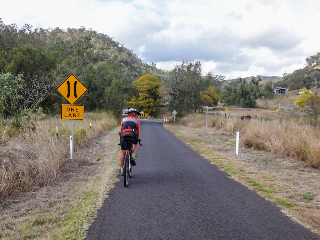

Stockyard Creek is a delightful hidden valley nestled underneath the range.
We’ve ridden here before on a few occasions.
It was comforting to now be riding on familiar roads. 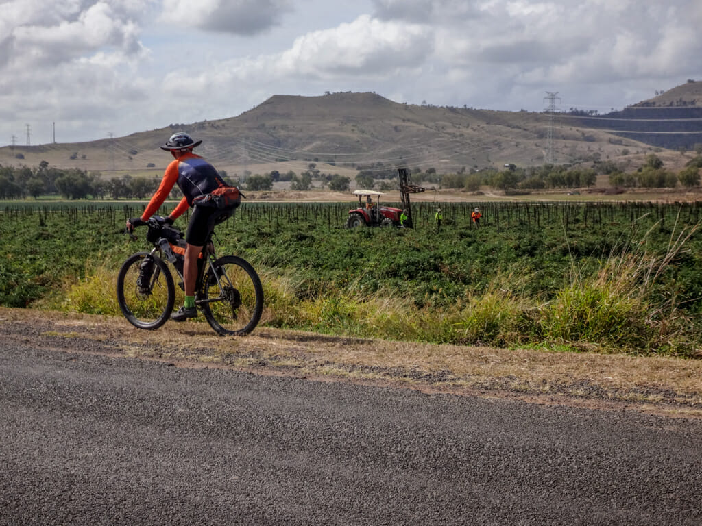
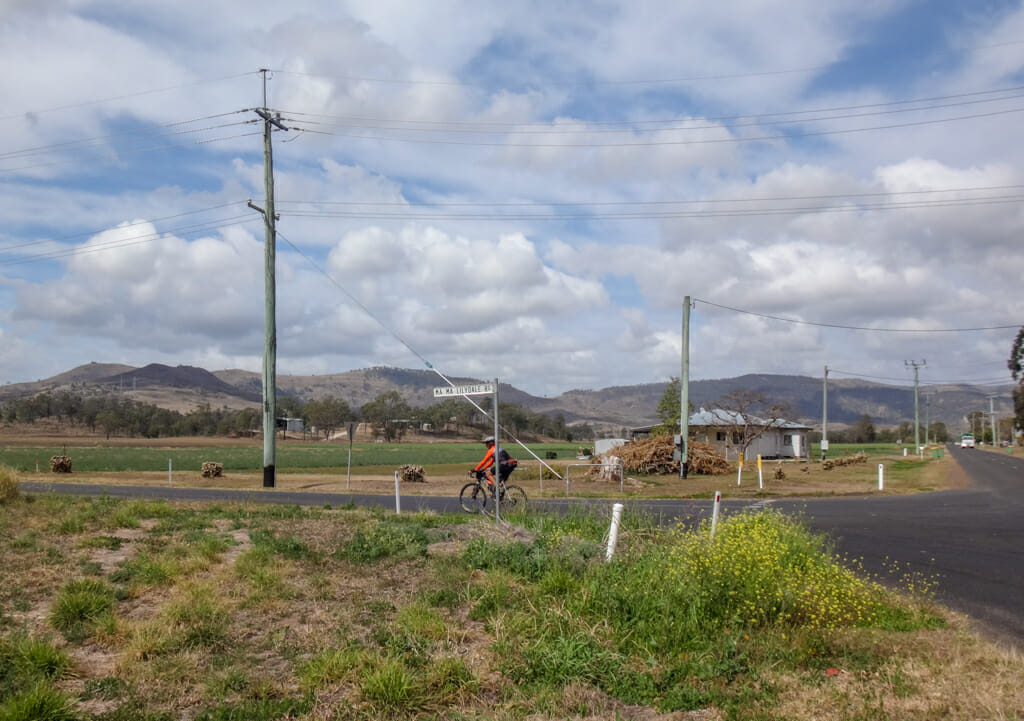
Paul and I rolled past a patchwork of farms through Lillydale.
Today was just like day 1 beside the railway outside of Charleville.
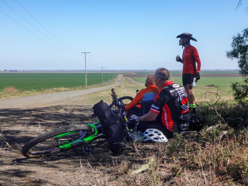
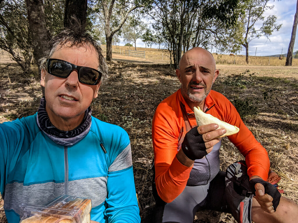
Two hungry blokes sat by the side of the road, pulled out a couple of sandwiches and had a rest.
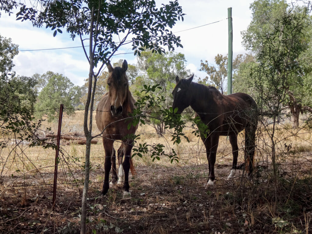
A couple of horses looked hungrily at me.
One of them spoke with me telepathically, “Please give me some of that sandwich.”
I gobbled it down quickly before my guilt had a chance to respond.
Before I left, I pulled a nutty snack bar out of my back pocket and gave half to each of the telepathic horses.
They nodded appreciatively.
“Thanks, human. That was much nicer than a sandwich.”


After our break and equestrian conversation, we continued to Ma Ma Creek where we found Simon waiting for us at the General Store.
I ordered a bit more food and a drink, and resolved not to share any of it with any more horses.
Simon rode with us through Ropely.
The roads started to get quite hilly 

My bike was as light as it had ever been with no bikepacking gear on it, but it was still hard work getting to the top of each hill. 

After a bit more hard work, we enjoyed a nice long downhill coast into Laidley. 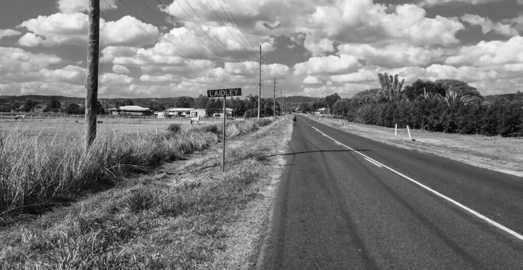
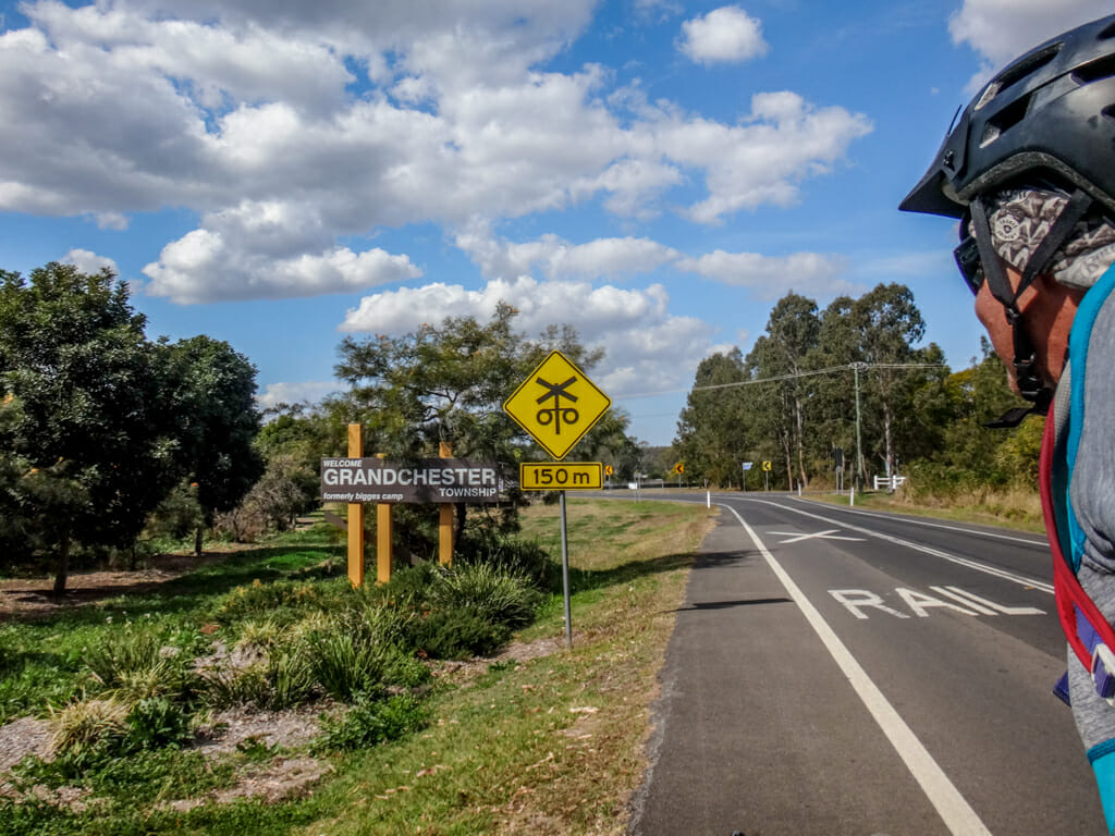
At Laidley, there were two ways we could proceed. We could either follow the main road to Grandchester, or ride up the dirt on Old Grandchester Road.
We decided to follow the dirt road.
It was easier than I had expected.
This is another fun spot we’ve visited several times. We were getting close to finishing.
On the other side of Grandchester we crossed the Western Line one more time in search of quiet back roads.
We were able to get almost to Rosewood following gravel roads.
I looked at Paul and said “Hey, we’re actually going to do this!”
He looked surprised. “Of course we are.”
There wasn’t ever any doubt in his mind.
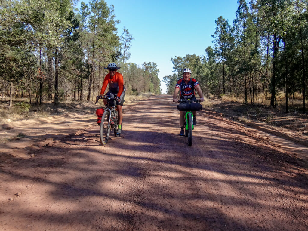
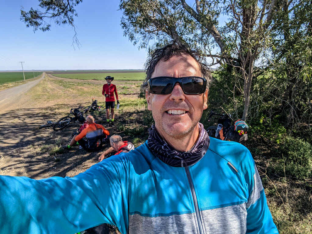
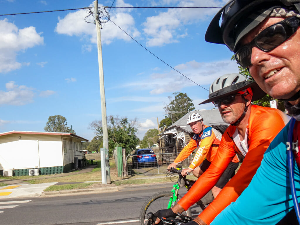
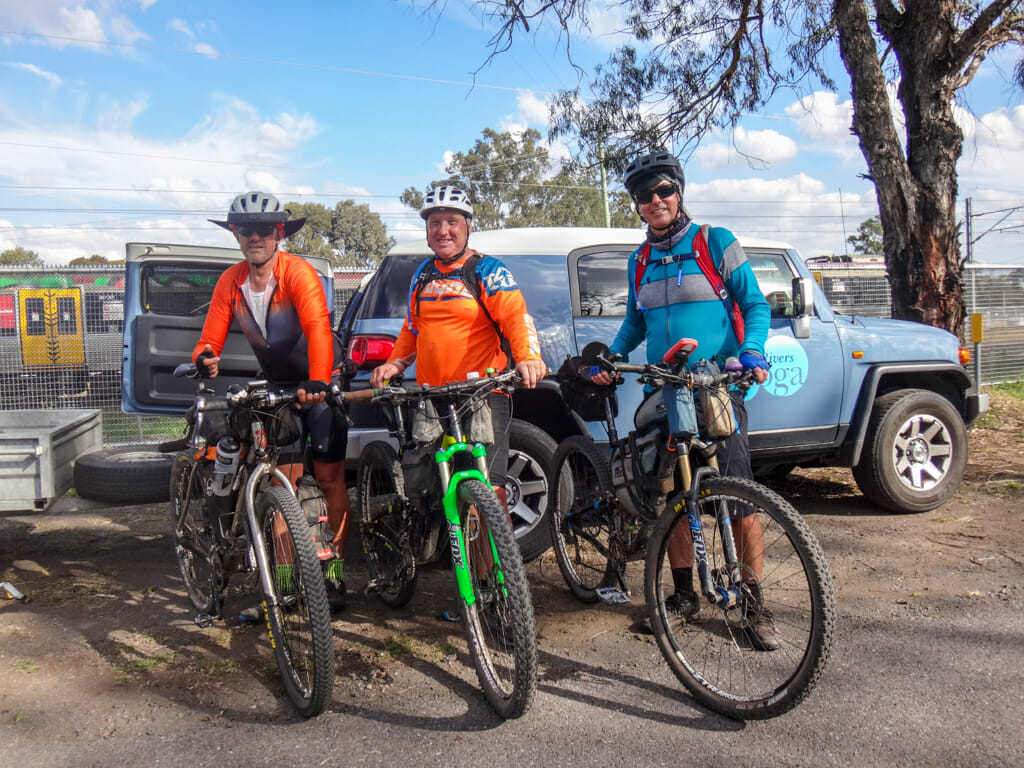
Just before town we lined up for one final group shot…
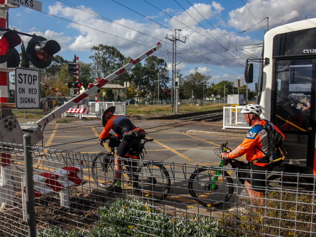
…then crossed the Western Line one final time.
Calum was waiting patiently for us with his trusty car and trailer.
Total climbing: 1446 m
Average temperature: 22.2
Total time: 08:30:03
More info
This was the toughest section of the ride because of all the climbing. I’ll rate it 9 out of 10 on the tough-o-meter.
Summary
Top | D1 | D2 | D3 | D4 | D5 | D6 | D7 | D8 | D9 | Bottom
Paul and I rode a total of 821.87 kilometres in almost 74 hours at an average speed of 11.14 km/h over nine days.
I’d say about 90% of it was either off-road or on dirt roads.
It was one of the most enjoyable multi-day rides I’ve ever done, and if I had the chance to do it again, I would.
In hindsight, I would pack a bit differently.
Here’s what worked well:
- My riding clothes were perfect. I was always comfortable, never had a sore backside, and didn’t ever feel too cold or too hot while riding. Groundeffect make great gear. My Casteilli mesh was a great addition, and the Northface wind jacket too.
- My bike bags worked perfectly. Bike Bag Dude makes amazing gear. It has plenty of room and is durable.
- My Viscacha seat bag was versatile. I could expand it or shrink it depending on how much stuff I needed to fit in. In past rides I had problems with it hitting my rear wheel. I prevented this by lashing it tightly to my seat rails with Velcro tape.
- I took heaps of Velcro tape. It never came undone, and secured my gear firmly.
- My Alien-X handlebar rack was amazing. It kept my bar-roll bag nice and high, made it easy to stow my jacket, and gave me a perfect spot to mount my headlights.
- I tore my shorts on a barbed-wire fence. My attempts to sew them up proved futile. The one thing that worked was Tenacious Tape. This stuff sticks like concrete, is hard wearing, and is perfect for mending tents and clothing when you’re in the middle of nowhere.
- My Garmin Edge 1030 worked perfectly for navigation. The battery lasted all day, and it didn’t take long to charge up at night.
- Sunscreen. I used SPF 50+. In the first few days I made the mistake of not re-applying it regularly and suffered a sunburned face and lips. Once I started re-applying it every hour or two, I didn’t get burned any more.
- Chapstick. My lips got burned early on. Using a chapstick on my lips helped stop them peeling.
- Five-ten shoes and flat pedals. Having “normal” shoes to ride in allowed me to use those shoes at night when walking around town.
- Mobile phone on a Telstra plan. I had phone and mobile data reception 99% of the time. The other guys were with different carriers and didn’t have the same quality of service.
Here’s what was unnecessary:
- Too much riding gear. The Groundeffect stuff was fantastic, comfortable and easy to clean. But I brought too much of it. I really only needed two sets of riding gear.
- Too much water. In winter, I was comfortably able to get by on three litres of water per day. I took five. I probably could have ditched one drink bottle.
- Didn’t need my water pump. I brought a Katadyne water-purifying pump with me in case I ran out of water. It’s also fantastic, and does the job, but I didn’t need it.
- I didn’t need my Colorado leather sandals. They were bulky and hard to pack.
I’d like to offer my sincere thanks to:
- My dear wife Liz for being so supportive of my crazy ideas.
- Paul, for spending ten days with me and putting up with my idiosyncrasies.
- Wayne, for driving Paul and me out to the start, then driving all the way home again.
- Simon, for making the long trip out to Yuleba to ride with us for a few days.
- Calum, for riding with us for a couple days, and for making the trip home from Rosewood much more comfortable.
- Everyone who followed our adventures online and offered words of encouragement.





































































Thanks for sharing the adventure Neil!
Maybe next time you’ll be part of “team crazy” with us, Justin?
i would like to be part of ‘team crazy’ next time
I will hold you to that promise mate 🙂
Absolutely love it. You guys are real legends, an inspiration to us all.
Thanks William 🙂
Awesome write up. Your style is easy to read and evocative. I can imagine the equestrian conversation like it was in my mind. Looking forward to more mad adventures. Only really I think we are sane. The mad people are the ones who never do stuff like this.
Thanks Tim.
I totally agree. Imagine if we had never done such things?
That’s a terrific account of the places you went and the characters you met. Sounds like you all had a wonderful trip!
Love your rides and the write ups. 1. Surprised in your rides that you’ve never encountered emus (dumbest animal of all time. Love to zigzag infront of bikes) and 2. Echidnas. Usually see the odd one of them too. When you came south out of Condamine and then a few kms later turned east had you done any research into using that road? I live in Goondiwindi and drive up the Leichhardt every week and know that intersection well. Love your ability to find usable roads and wondered which sources you usually used in your planning?
Hi Andrew
My friend Simon rode the same route the year before.
Prior to that I spent a few months planning it, and checking property boundaries to make sure roads were passable.
I spent more time using Google Earth than I care to admit 🙂
Neil
Hi Niel,
You have inspired many of my buddies with this! My partner and I are going to take the plunge and do a very similar route in late September this year (more coincidence with our work than anything!). We are both riding gravel bikes, do you have any recommendation with tyre widths?
Cheers,
Kieren
G’day Kieren
I rode on 2.2″ (55mm) tyres, which worked perfectly except for the first few km along the service track out of Charleville, and for a couple of km through the state forest east of Morven.
If I did it again I would still use the same tyres.
Late September will be really hot. You will need more water than what we used – just be aware of that.
And use lots of sunscreen / lip protection.
Neil
Thanks for sharing this. I stumbled across it while looking at some of your airstrip photos around pine rivers. I’m a mtber as well so can relate to riding the bikes and terrain but certainly not over the distances or locations you have. still plenty of time for me. well done to all 4 of you.
G’day Michael
Thanks for kind words.
Watch this space 🙂 I’m heading out to Charleville again in a few days and will ride west from there. I should have a write-up done this time next month.
Neil
Hey Neil, I just reread this whole post. Awesome work!
Just the inspiration I need to get back on the bike after a few months of apathy.
Cheers.
Dave
Thanks Dave 🙂
HI Neil,
Did you get to Quilpie?
We are planning a ride for this winter, do you have a track map of the Charleville to Brisbane trip? The tracks you took through the forestry areas would be particularly useful and save us time reinventing the route.
Any assistance appreciated
Hi Ron
Here’s a map of the route
https://www.google.com/maps/d/u/0/viewer?mid=1Y24t1MMcHmjGCCBWMv9d9t5rRxSo3wf8&ll=-27.053951511752796%2C149.4103835&z=8
You can down load a GPX of each day at the end of each secion in the post above.
We didn’t get to Quilpe, but a year later we went west through Adavale and then on to Blackall and Longreach. You can read about it (with maps) here:
https://blog.neilennis.com/index.php/charleville-to-longreach/
Neil
Epic ride and story. Seems like you planned it all so well.
Thanks Steve. Yes – it took a lot of planning, but it was worth the effort.
Hi Neil,
I’m from NZ. I’m planning a trip next June and hoping to catch the train from Brisbane to Toowoomba then ride from there to Charleville, then train back to Brisbane.
I have a Trek 520 with 38mm tyres and keener on sealed roads although gravel is ok.
Is it easy to navigate your way? The wide open spaces look a little daunting in terms of not getting lost! We dont have country like that here in NZ.
Is accommodation easy enough to find with out booking more than a day or two ahead?
Lots of questions but I’d appreciate your advice, having been there, done that etc
I really enjoyed your write up and pics, great read thanks!
Regards John
G’day John
It’ll be cold that time of year. Mornings out west can be below zero in June.
The 38mm tyres will be ok for most of the ride, but they could be difficult if you ride on the black soil sections, or on the sandy soil beside the railway line (and those bits are nice / worth doing). If it rains, avoid the black soil – it’ll swallow you up.
Pubs are your best bet for accommodation – they’re cheap. It might be worth booking ahead in Morven as they have the only accommodation in town.
Stay off the highway as much as you can. The trucks are almost 60m long. The drivers are good, but the safest place is away from them.
It’s challenging to navigate the forests west of Cecil Plains. Make sure you take a GPS.
The Westlander train is slow. You might be better off catching a bus to Toowoomba – or even hiring a car for the day. The starting point would be Cambooya which is south of Toowoomba. Alterntatively, get a commuter train to Rosewood (halfway between Brisbane and Toowoomba) and ride up the range. It’ll take you a day and isn’t that hard. Commuter trains leave every hour.
The Westlander train is sit-only. No sleeper berths. It’s primitive – but you might enjoy the experience. A better experience would be to ask a friendly truckie in Charleville for a lift back to Toowoomba or Brisbane. They’re really friendly out west. I reckon you’d get a lift easily.
Keep in touch. I’d be happy to help with any more enquiries. Or if you want to email me just fill out the form on the page.