
It’s challenging to have a cycling adventure when quarantine restrictions have closed all your favourite trails. Darb sent us these photos and video of a recent circuit he did close to home, in Devonport Tasmania.
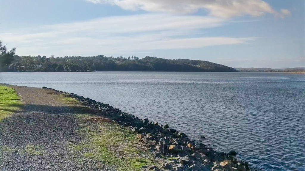
“There wasn’t anywhere else I could go,” he explained, “all the mountain biking trails were shut”.
So instead of exploring “the bush”, Darb took a leisurely loop near his new home in Spreyton, passing by some of the places he used to spend his childhood years.
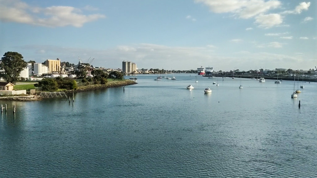
Devonport is located on the northern coast of Tassie, snuggled between two rivers – the Don and the Mersey.

It’s the traditional country of the Punnilerpanner aboriginal people. They arrived during the last Ice Age when sea levels were so low that there was a land-bridge where Bass Strait is today.
Some of the rocks at Devonport Bluff show ancient petroglyphs they made.
The Punnilerpanner called their home “Panatana”, which was later named “Port Sorell” when Europeans arrived.
During summer they moved inland, following the Mersey River south into the mountains where the weather was cooler, and they could find different food sources.
One popular summertime beverage was the fermented sap of the rare Cider Gum. The tree only grows in the cold highland areas of inland Tasmania. Its sap, when fermented, makes a refreshing but intoxicating drink.
Sadly, increasing global temperatures have reduced the area where the Cider Gum can grow. Recent surveys suggest there are now less than two thousand specimens growingin the wild.
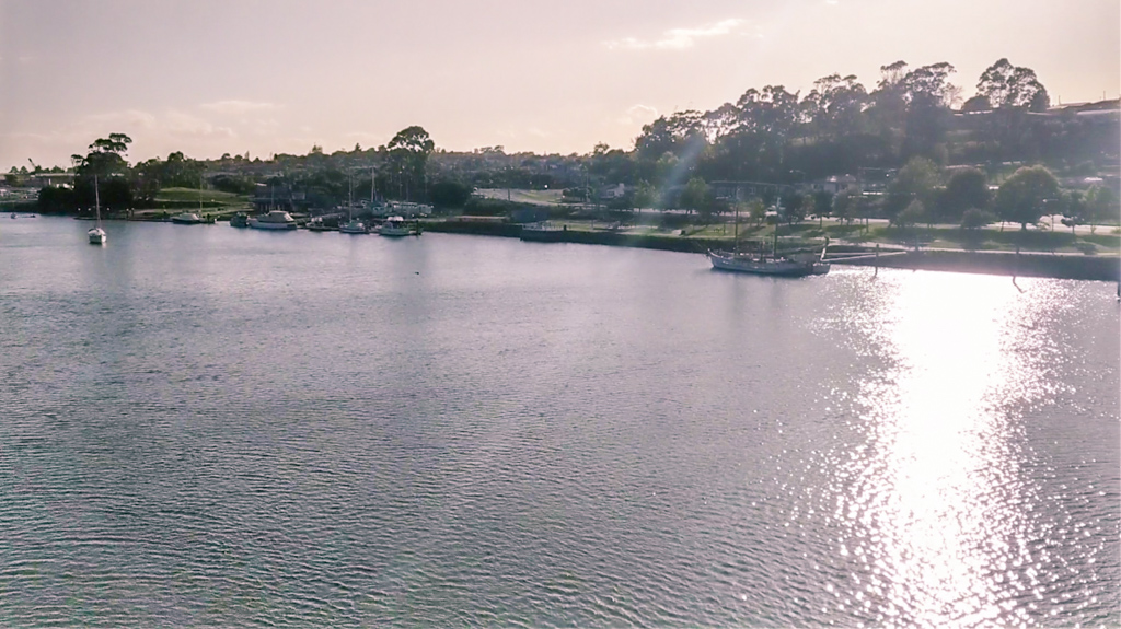
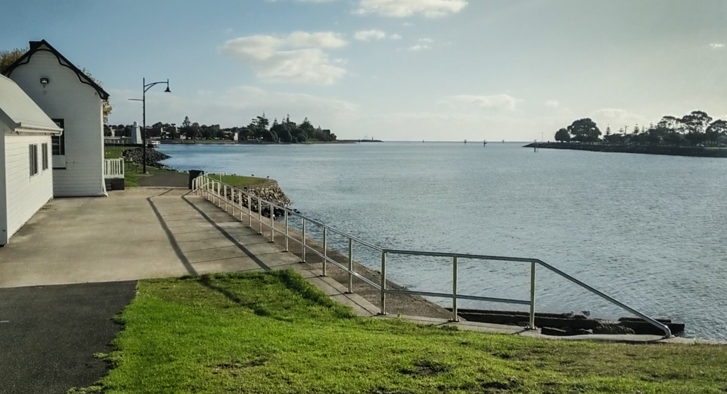
The Mersey River is impressive, stretching more than 140 kilometres to Lake Metson in the south.

It’s a busy river today, and home to the “Spirit of Tasmania” which ferries passengers to and from the Mainland…

The ferry does the 280km voyage overnight. Anyone who has ever wanted to take their car to or from the Apple Isle needs to sail on the “Spirit of Tasmania”.

Darb says “This guy’s what they call ‘The Spirit of the Sea, looking after us all.”
The statue was erected by the council in 2008. Six metres high it depicts a bronze Neptune-like man with a trident emerging from the ocean. It’s lit up at night, so if you’re standing on the deck of the ferry as she pulls in to port, it’s one of the first features of Devonport that you’ll see

Darb’s plan was to follow the coastal bike path past Bluff Beach and up to the Lighthouse on Mersey Bluff. After that he’d be able to get the fat bike onto the sand.
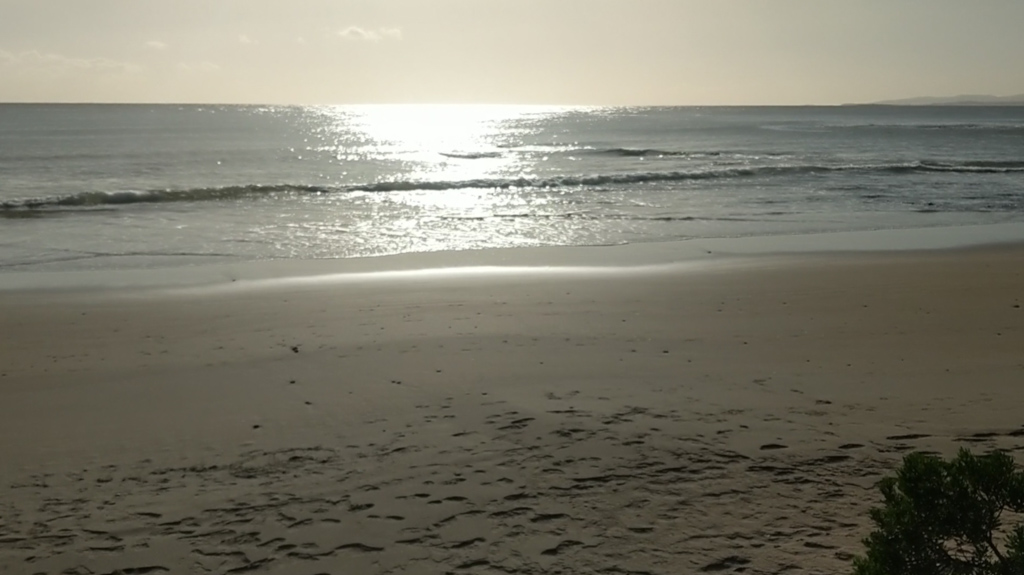
Bluff beach is small and pretty. It faces north-east, so even in the cooler winter months it gets plenty of sun.
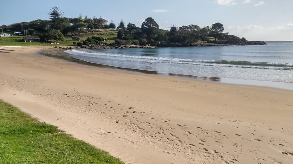
Darb reminisced. “I used to spend many a summer day here swimming”

During the nineteenth century, many ships were wrecked along Tasmania’s northern coastline.
The Mersey Bluff Lighthouse was built in 1889 to help guide mariners into the Mersey River.
One unusual feature of this lighthouse is a series of large red vertical stripes running down the seaward side of the structure.
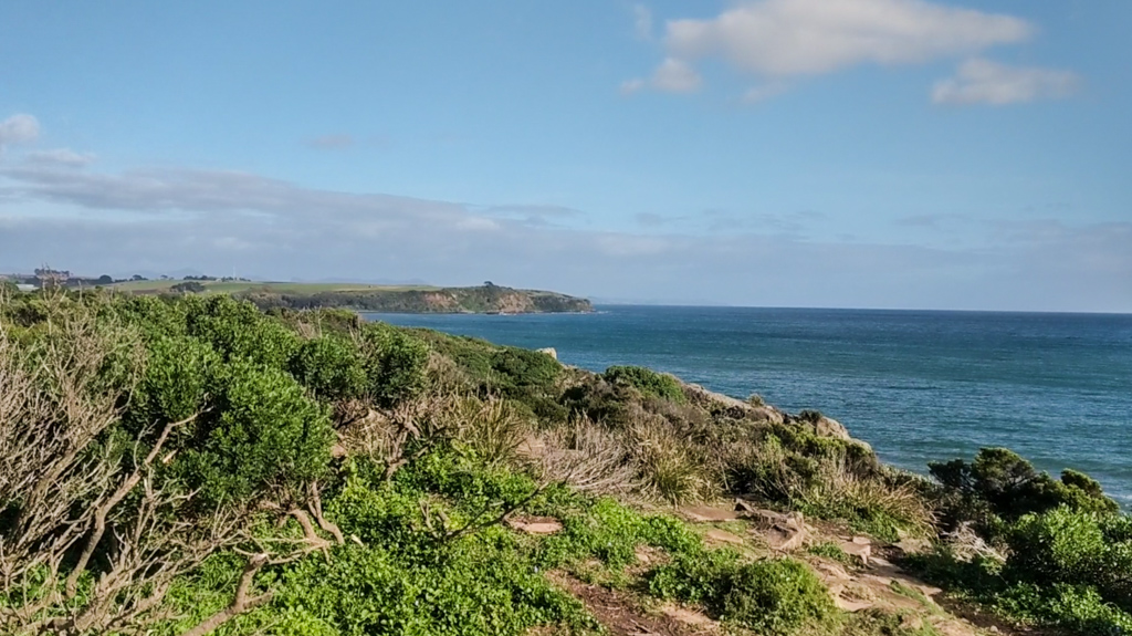
From Mersey Bluff you can get a great view of Tassie’s northern coastline. On a clear day you can see all the way to Burnie.
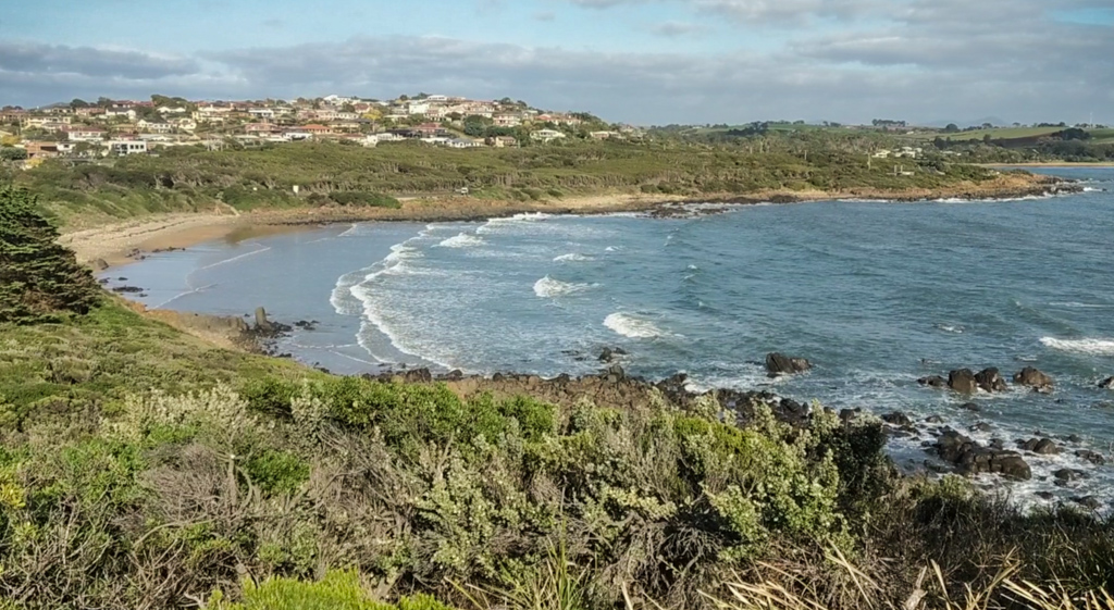
“When I was a kid I used to live up on the hill there behind back beach,” Darb said.
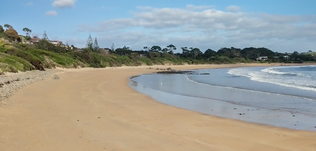
Coles Beach is only a few hundred metres long.
Darb took this opportunity to get off the bike path and ride the fat bike along the sand.

It’s a strange feeling re-visiting the places you once played in as a kid. Old memories come flooding back: faces of childhood friends, endless summers and wild adventures.

The big tyres howled on the sand for a few minutes. Fat bikes are fun to ride in most situations, but they’re best on soft surfaces like sand or snow. Darb’s lucky – he can get both types close to where he lives.

“The route I normally take through here is mostly on bike paths,” Darb said. “But I do get a bit of ‘off-road’ into the bush. It’s very nice.”

“Today I decided to take a little detour, and found a nice little bit of single track. Bonus!”

The track followed the Don River for a few kilometres.
Looking back towards the railway bridge that crosses the river mouth, Darb sighed quietly…
“Very calm and quiet”

From the footbridge that crosses the river, you get a great view of the tiny hamlet of “Don”, on the outskirts of Devonport.

When most of the Mountain Biking Trails are closed, any bit of off-road riding is a bonus.
Darb pointed his fat tyres towards the Kelcey Tier Reserve, and found one of the few steep power-line tracks in the area. It’s a good thing he was riding alone – it’s difficult to keep up with him when he’s riding uphill.
He was philosophical about it. “Nearly home, but it wouldn’t be a ‘Neil Ennis’ ride unless you rode some steep power-line tracks sometimes. Cheers guys!”
Cheers Darb!
Total climbing: 484 m
Average temperature: NAN
Total time: 02:26:29
Darb rode a leisurely 24 kilometres in two and a half hours with about 440 metres in elevation gain.
What do you reckon, Darb? 5 out of 10 on the tough-o-meter?
Here’s a video of the ride.
(All photos and video by Tony Ryan)


Thanks to Darb (and Tony) for a lovely post. My wife is from Tassie so it struck a chord.
Graham