


Moreton Island, known as “The Place of Sandhills” (“Moorgumpin”) in the Quandamooka language, is the gem of Moreton Bay – a special place that should be on every mountain bikers bucket list.

To see the island properly, Darb, Paul, Troy and I decided to take Friday off, load our bikepacking gear onto the fat bikes, and catch the “Micat” ferry across the Bay for the weekend.
Troy has an excellent blog and has also written up our ride. You can read his account here.
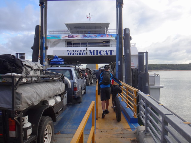
We rolled the heavily laden bikes onto the Ferry, alongside a couple of dozen four-wheel drives, and lashed them securely for the 75 minute trip.
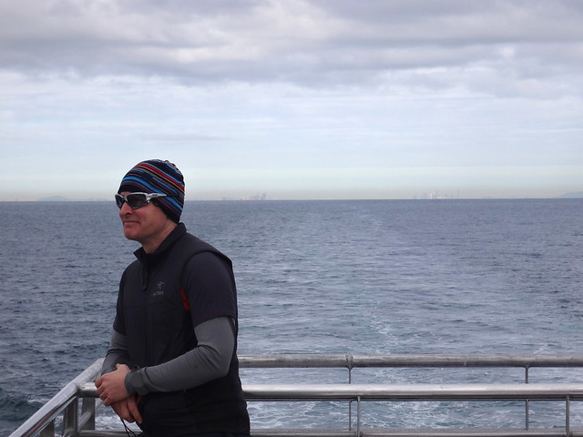
Like most cruises (only shorter) we felt our worries fade away as the city receded towards the horizon.
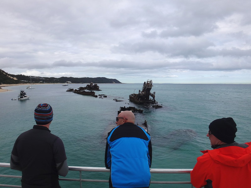
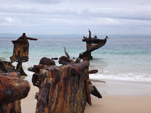
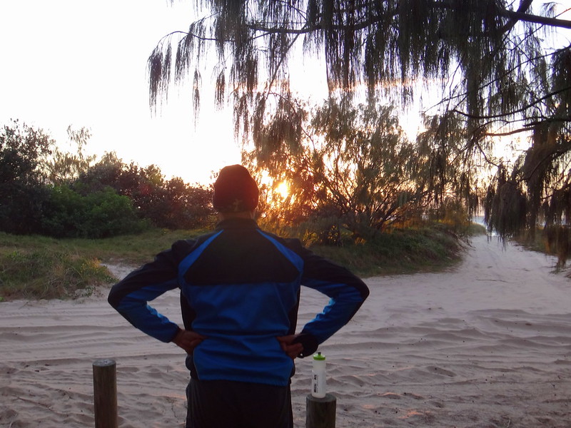
A little more than an hour later, we arrived at the Tangalooma wrecks for the start of our adventure.
Day 1.

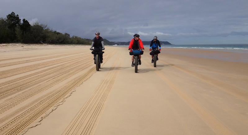
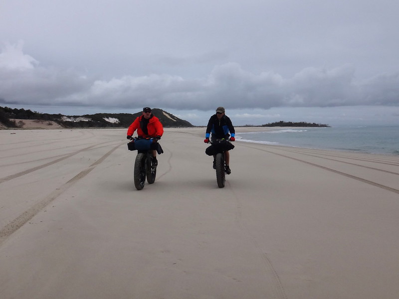
We rolled off the Ferry straight onto the beach, and headed north towards Cape Moreton. We glided effortlessly over the firm sand which had been left by the receding tide.
When you ride on the beach – there’s no rush. It’s a time to soak up the surroundings.
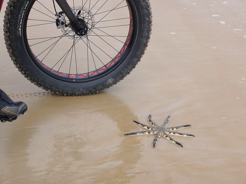
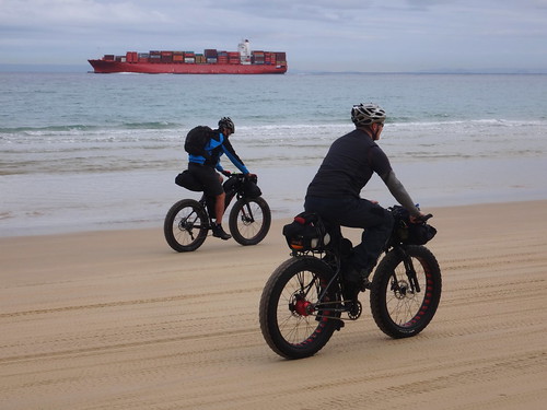
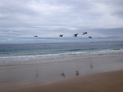
We smiled and chatted happily as we slowly made our way northwards past birds, starfish and container ships.
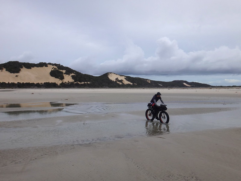
The coast at “Yellow Patch” was tricky – the wet sand broken by creeks and lagoons in many places. Salt water is cruel to metal, and our bikes were too heavy to carry, so we meandered around the inlets until we found a shallow spot that was easy to cross.
The clouds closed in as we progressed up the beach, confirming the bureau forecast of showers. We were wearing the right clothing for a wet winter day, so a bit of rain wasn’t going to be a problem.
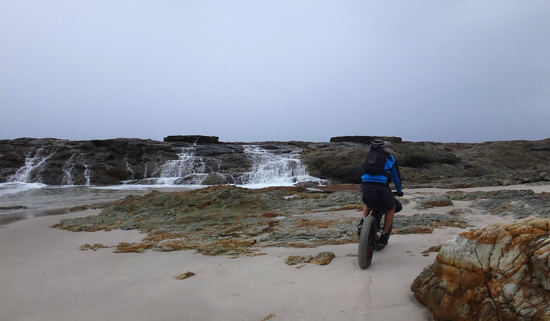
North Point marked the extreme northern tip of the island.
Moreton Island is the third largest sand island in the world (after Fraser and Straddie). North Point is the only place on the island where you’ll find rocks like this.
These rocks are important from a geological perspective – they’re what made the rest of the island.
As sand drifted along the east coast of the continent, it struck these rocks forming sand bars from which the island slowly grew.
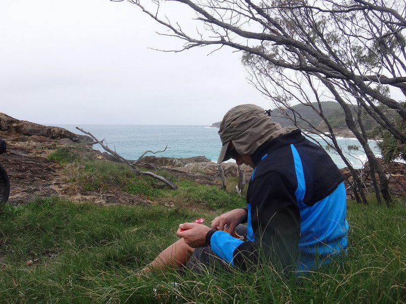
Since this was a camping trip, we had brought decent food instead of the usual cycling snacks. North Point was the perfect spot for lunch as we huddled out of the rain and enjoyed our unusually pleasant food.
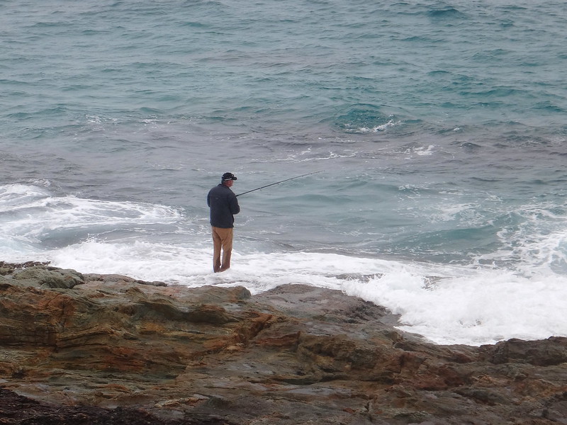
The tide had started to rise over an hour ago. While we looked from the safety of the headland, a solitary figure braved the incoming waves, hoping to catch a fish.
The rain fell heavier after lunch. We zipped up our jackets and started the short trip up to the lighthouse.
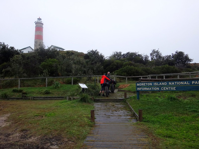
A lighthouse has shone from these rocks for over 150 years, warning ships of the dangerous reefs.
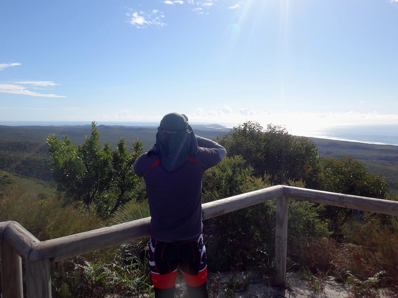
The views from this high vantage point are amazing too.
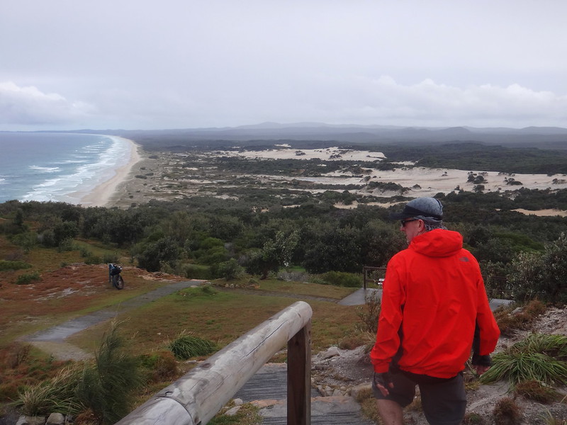
We could almost see the entire island.

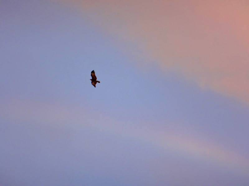
A majestic whale surfaced close to the shoreline below. This was the first of dozens of whales we would see this weekend, migrating from Antarctica to warmer waters for the winter.
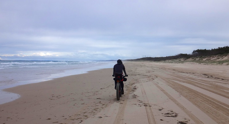
The tide was rising as we followed the coastline south. There was less firm sand on which to ride, and when we had to ride on softer sand, I was grateful for the nice fat five-inch tyres.
Despite the fat tyres, riding on soft sand is hard work.

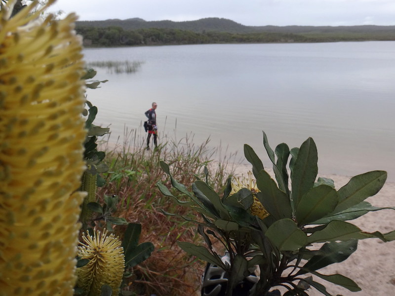
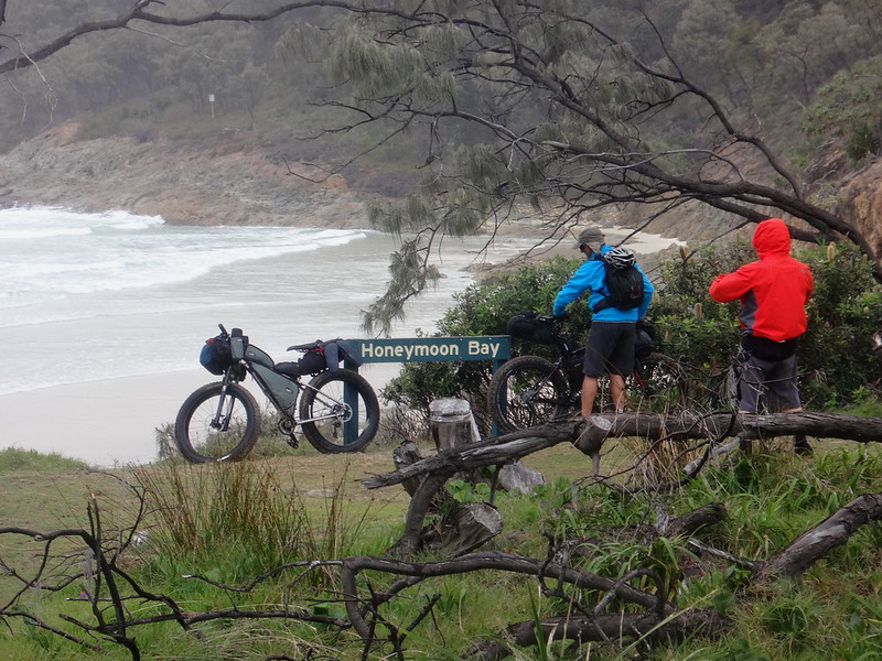
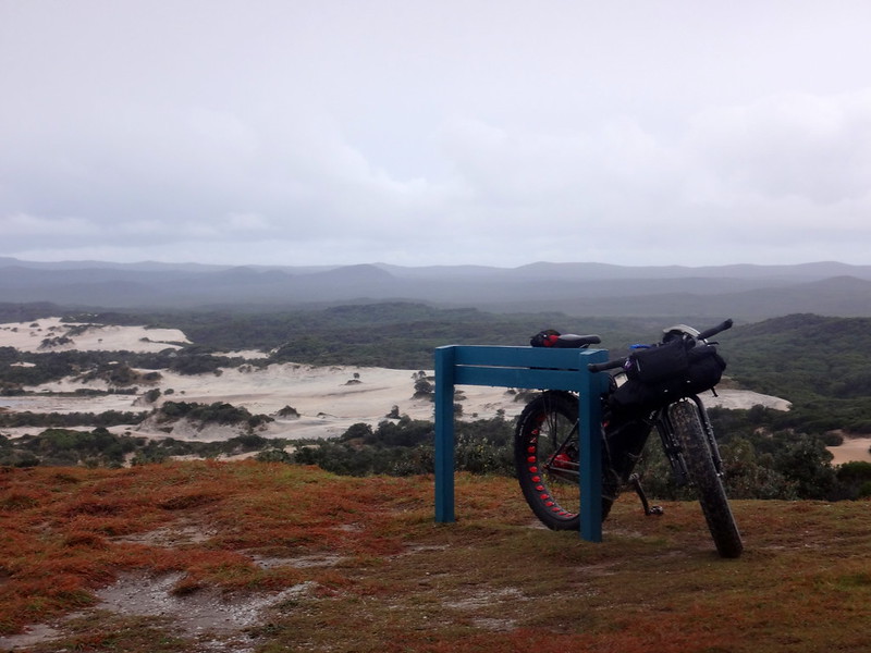
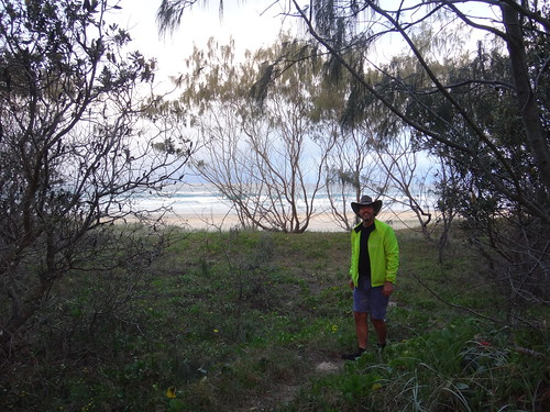
We took a short detour at Blue Lagoon to check out the large freshwater lake, and to top up with water.
There would be no water at our camp ground, so we wanted to make sure we had enough drinking water for dinner that night, and for the next day.
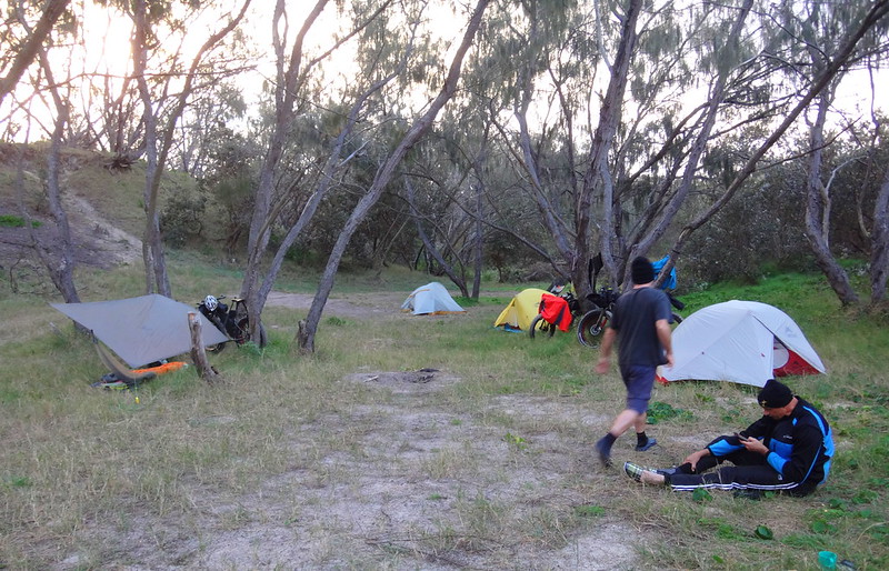
A little later we made our camp in a quiet spot behind the dunes.
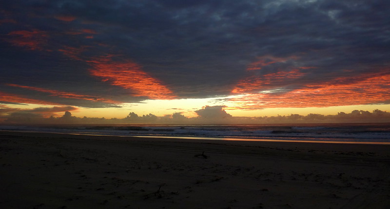
It was only a short walk to the beach where we sat and watched the light slowly fade…
… while the birds hunted for dinner.
All up we had ridden 45km in about 6 hours. Apart from the soft sand at the end of the day, this was a reasonably easy pleasant ride. I’ll rate it 6 out of 10 on the tough-o-meter.
Go to Day 2.
Total climbing: 399 m
Average temperature: 15.4
Total time: 05:59:05
More data
Day 2.
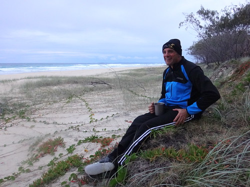
We awoke before sunrise.
We had no campfire the night before. So once we had finished dinner, we all went to bed really early.
I was surprised how well my camping gear had worked. I was warm, and comfortable, and am grateful for soft thick sleeping mats.
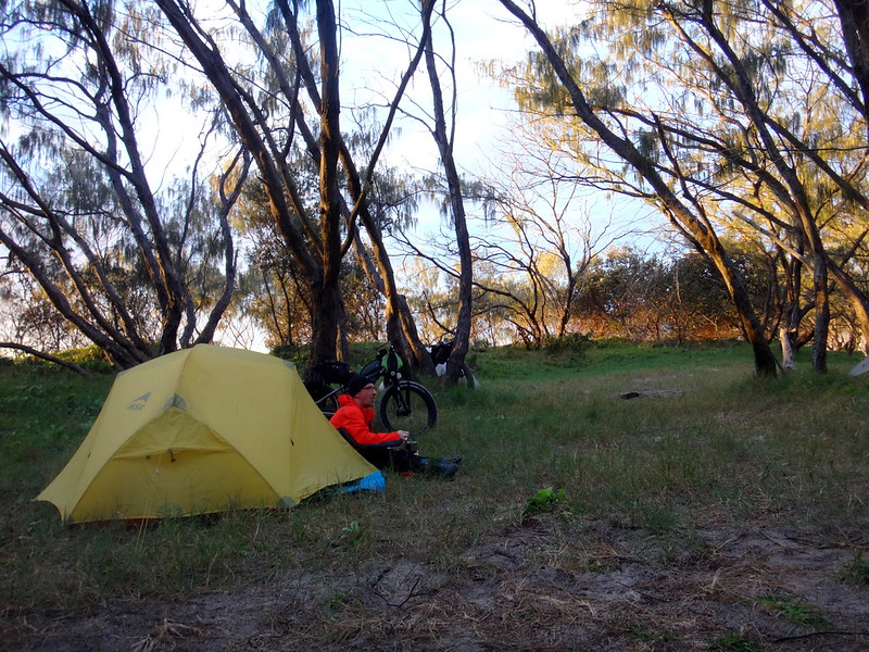
I’m hopeless without a cup of good coffee in the morning. I didn’t have room for a coffee plunger, but was able to make a decent cup by mixing the ground coffee in a bowl, then pouring it through a tea-strainer. With the essentials sorted out, I sat at the door of my luxurious tent and enjoyed breakfast.

Our equipment packed away surprisingly quickly, and it wasn’t long before we were ready for our second day.
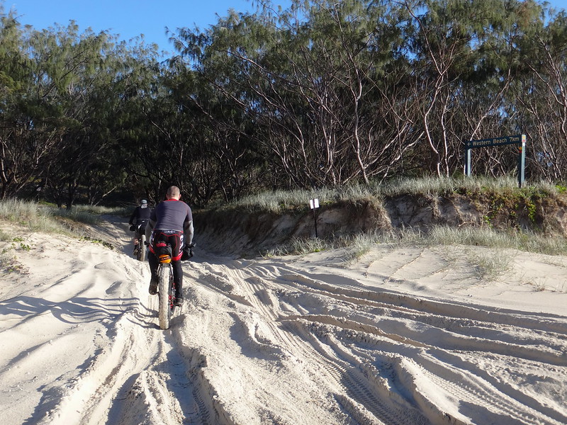
After a couple of minutes riding back up the beach, we pushed through the soft sand and onto Middle Road. As its name suggests, this track traverses the island. The fat tyres of the bikes worked well in the soft sand.
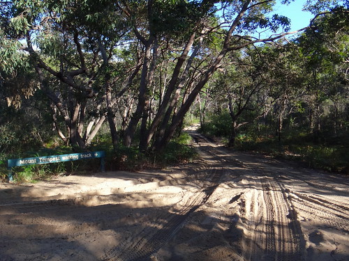
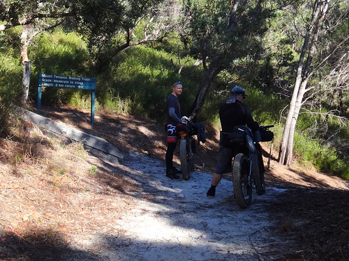
We took a short detour from Middle Road to follow the Mount Tempest track. Today was a crystal clear day and we wanted to have a look at the view from the highest point on the island.
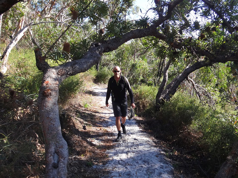
It was a one kilometre steep walk to the summit – too steep for heavy bikes – so we hid the bikes in the bush and did a quick hike to the top.
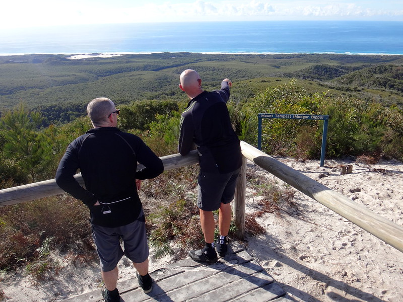
At the summit we could see forever. Troy pointed out Mount Tambourine on the horizon, way to the south, and Mount Coolum & Ninderry to the north. To the east we could see the D’Aguilar Range and the spires of the Brisbane CBD in the clear winter air.
This climb was well worth the effort.
Mount Tempest formed as a huge dune, which was later secured by vegetation. At 280 metres – it’s the largest coastal sand dune in the world. For larger dunes you’d need to go to the deserts of the Middle East.
Total climbing: 1012 m
Average temperature: 20.9
Total time: 06:34:06
More data
Day 3.
Total climbing: 547 m
Average temperature: 13
Total time: 04:08:16
More data


