


Today’s challenging adventure took us through some rugged scenic country on the edge of the Great Dividing Range.

We started high on a clifftop at Governors Chair Lookout, Spicers Gap. We took a few minutes to enjoy the panorama before setting off on our journey.
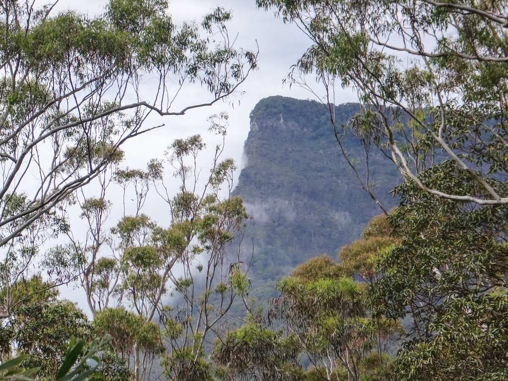
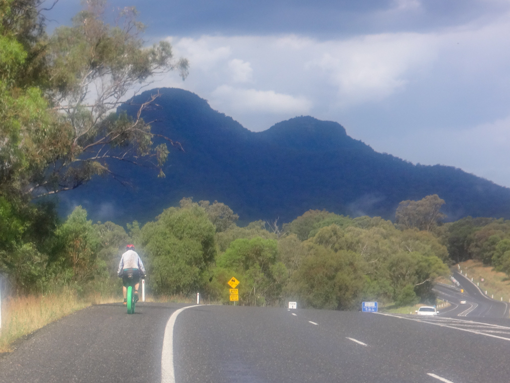
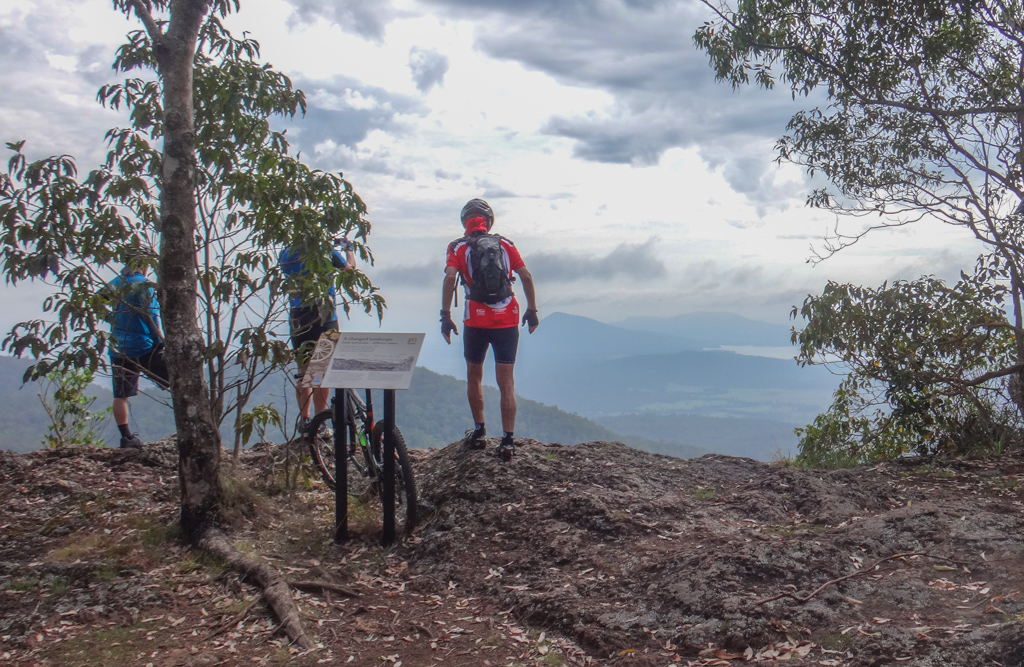
As we headed west along the old convict-built road, the craggy summit of Spicers Peak jutted skywards through clouds.
Before European settlement, the Yuggera and Githabul people would light fires on its peak to send signals that could be seen from a great distance.
They called the peak “Binkinjoora” which means “Turtle with its head sticking up”. It was alson known as “Barguggan”.
There is an old dreamtime legend that the Yuggera people once rounded up all the kangaroos and fenced them in large valley at the base of these mountains. An old woman freed the animals and they stampeded westwards over the range, tearing a gap in the rocks between Cooyinnirra (Mount Mitchell) and Niamboyoo (Mount Cordeaux). This is how they believe the gap we now call “Cunninghams Gap” was formed.
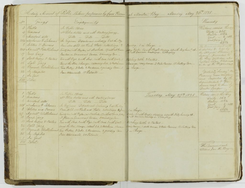
In the late 1820’s, explorer Alan Cunningham, named Spicers Peak after Peter Beauclerk Spicer – the superintendent of convicts at the Moreton Bay Penal Colony. With flawless cursive handwriting, Spicer kept a meticulous journal of day-to-day life in the colony, called “The Book of Public Labour Performed by Crown Prisoners “. It is more commonly known as “Spicers Diary”.

I wonder what Cunningham would have thought of our bikes as we raced down Spicers Gap Road on the far side of the Great Dividing Range?

Adam loves splashing through creek crossings. He couldn’t resist “parting the waters” as he rode through this one.

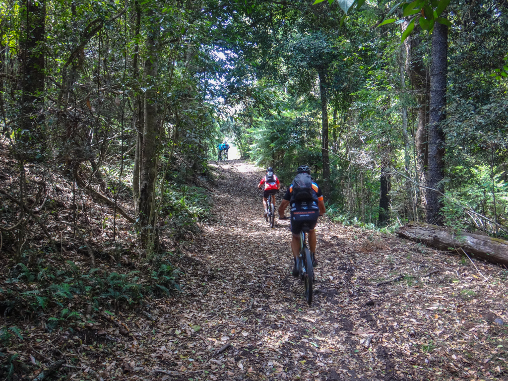
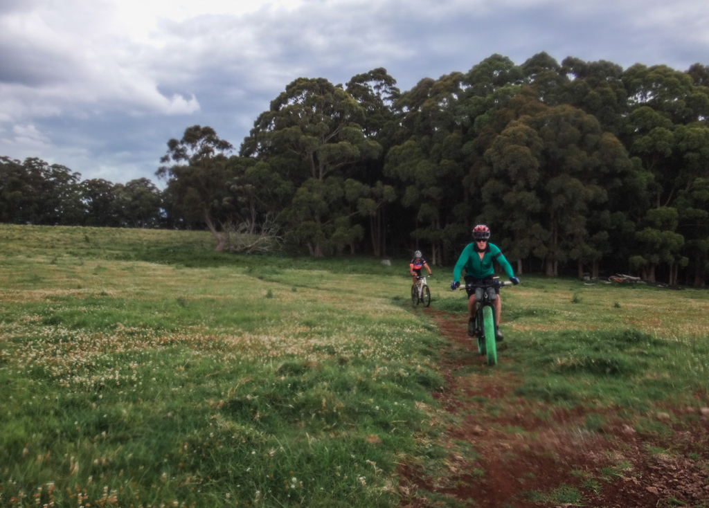
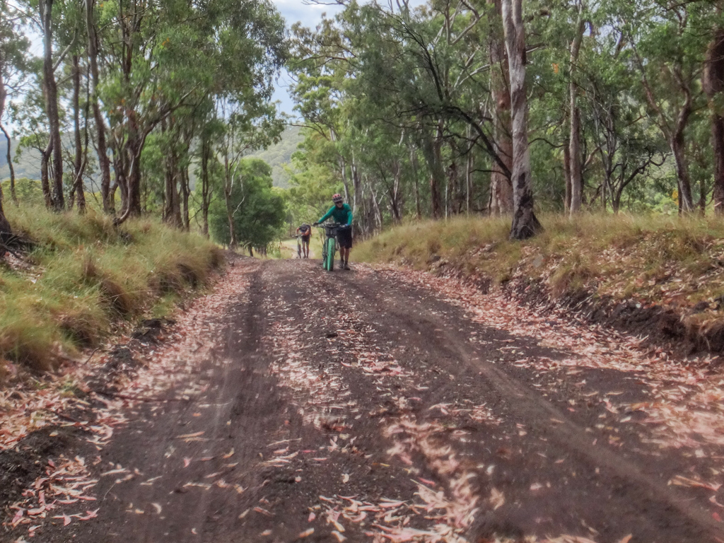
Eventually we left Spicers Gap Road, following some beautifully groomed single tracks south through bushland.
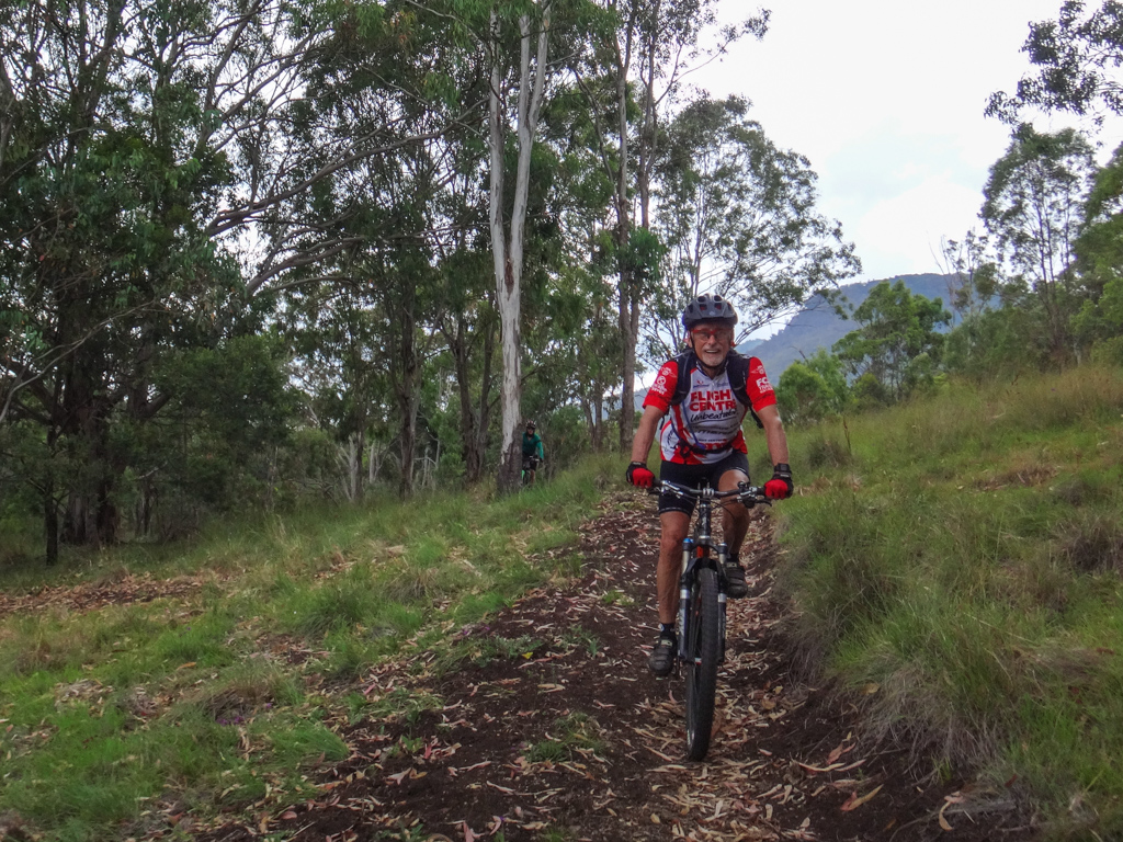
Mountain Bikers love single tracks. This was an unexpected surprise. Instead of grinding up steep hills, these wonderful tracks snaked around hillsides, gently undulating as they went.

The tracks were well-marked and easy to follow.

While I deftly rock-hopped around several deeper crossings Adam again opted for the more-direct approach.

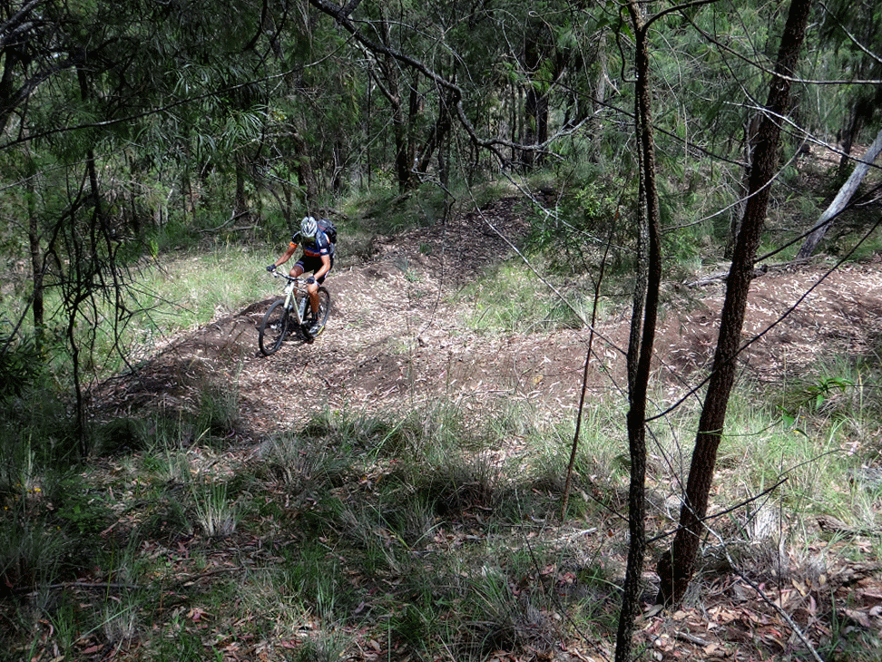
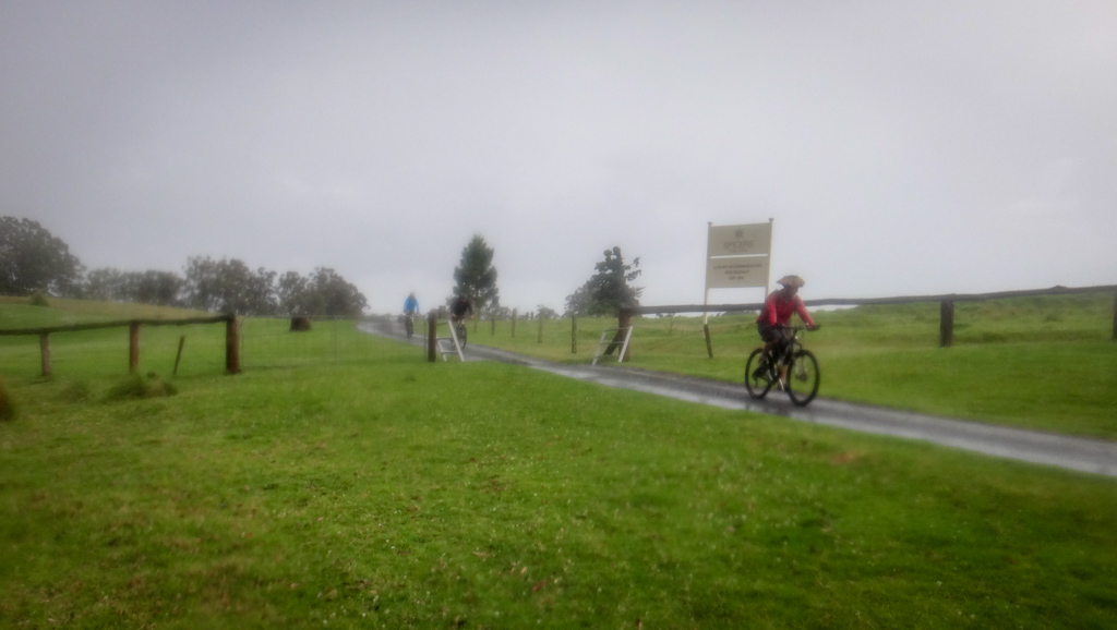
Eventually the single tracks emerged from the bush into the rolling open plains of Spicers Peak Station.
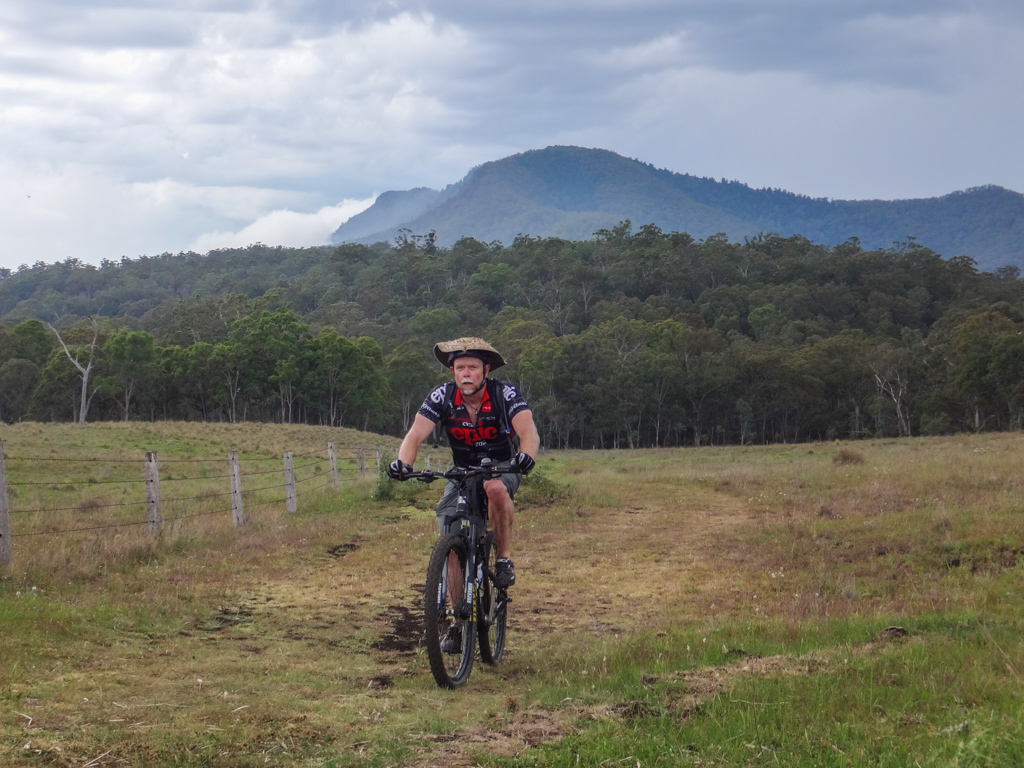
Hills and mountains surrounded us in every direction.

We followed the trail along a farm track towards a distant high ridge. Somewhere in the back of my head I knew we’d have to climb that ridge soon. It would be hard work.

Simon accidentally broke his chain and kindly gave us a lesson in how to repair it, while we sat around in the shade and watched with interest.

The major climb of the day started in some shady hoop-pine forest.
We followed the track through the trees then joined some more snaking single-track as it slowly zig-zagged up the mountain.
As I mashed my pedals up the hill, “zigging” one way, I could see my riding buddies “zagging” back the other way as the track switched back and forth many times.
Slowly we climbed the huge hill. The jagged route smoothed out the steepness of the course, except at the end-points of each switch-back where we had to abruptly change direction.

As we gained height, we stopped a few times to admire the view and take photos.

Halfway up, we reached a small plateau and followed a creek for a few kilometres, enjoying the respite from the gruelling climb.
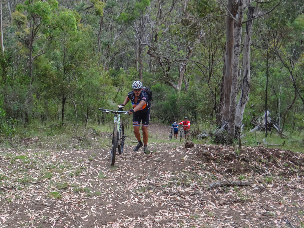
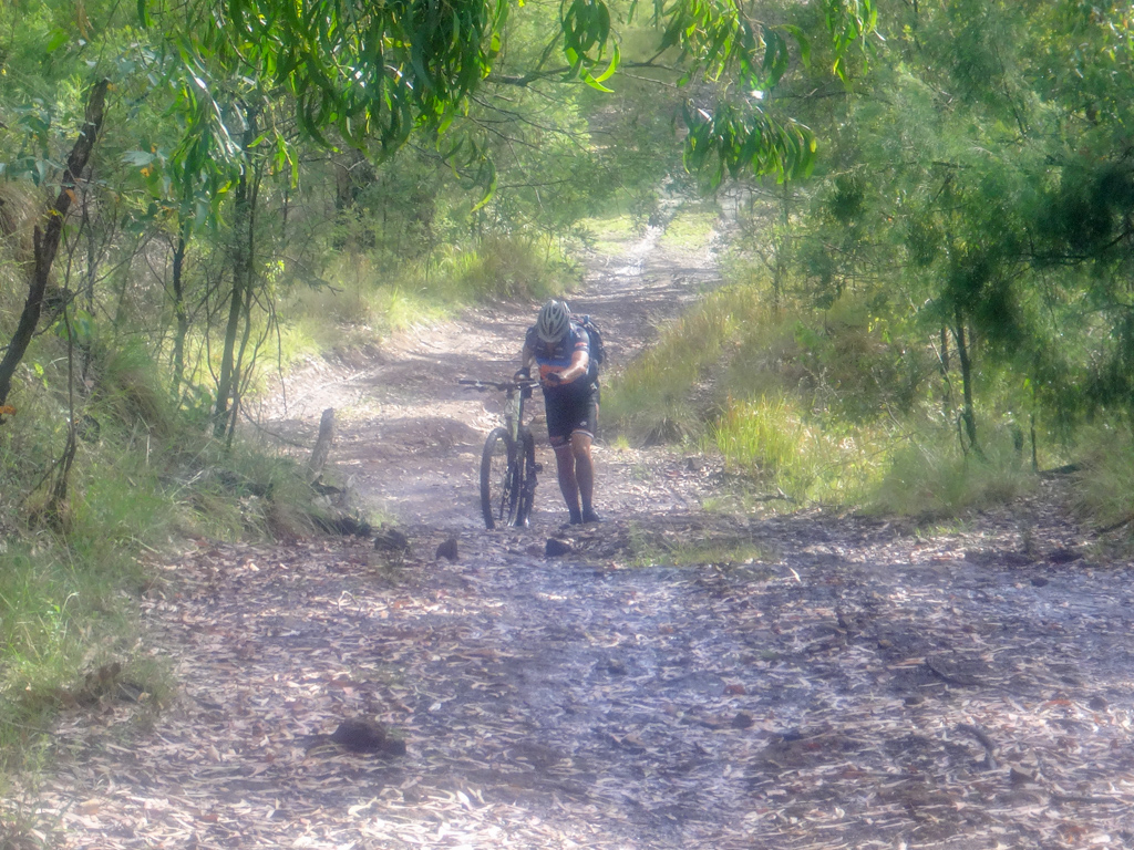
At “The Brumby Track” there were no more switchbacks. The uphill track was too steep, so we walked the bikes upwards.

Signs on the tree gave us clues that we were nearing our destination.

More steep climbs. Jason took a break halfway up.

Eventually the gradient eased off. We passed through an open forest on the edge of the top plateau.

And then we were there. A vast grassy plateau spread out before us.
We left the forest and followed more delightfully groomed tracks over the plateau towards the lodge.

Spicers Peak Lodge is a premium quality resort which sits atop a high plateau, more than 1,100 metres above sea level. It boasts some of the most impressive views you could ever hope for in a hotel.

Earlier in the week, I spoke with lodge manager, Subash Basrur, who had kindly agreed to host us, and let us ride their private trails.

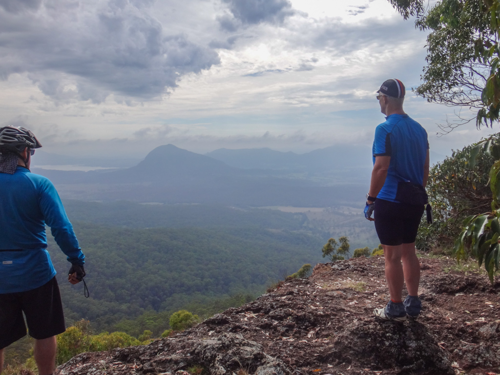
We rolled around on the summit, amazed at the spectacular views.

Behind us, a furious storm rolled in from the west, blue-green clouds ominously heavy.

The clouds moved in fast. We rushed a few quick photos, then quickly huddled under shelter while the clouds crashed over us and burst with heavy rain.
Storms on a mountaintop are intense.
I was glad I had brought a warm jacket.

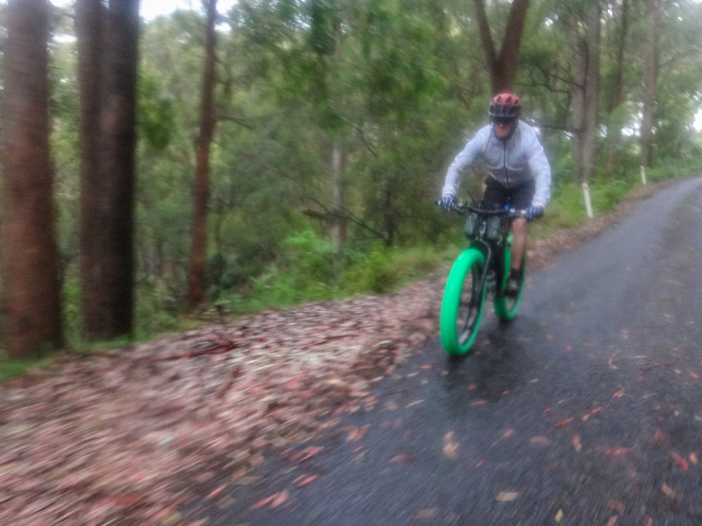
The rain had soaked the trails. It was now unwise to ride them, so we all decided the most appropriate route for our return journey would be via the road.
I would have loved to have ridden down the Brumby Track, and down those numerous switchbacks, but alas – today the weather had beaten us. Maybe next time?
We slowly accelerated down the slippery bitumen.
 ”
”
I took it slowly. Wet leaves on tar can be treacherous when wet.

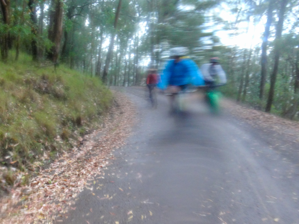
Mist rolled in…
My camera got soaked…

We all got covered in mud as it sprayed up behind us from our back wheels.

Through my fogged-up glasses I saw hints of spectacular views rush by while I plummeted downwards.

The storm had passed. Everything was wet. We stopped to soak up one last view before completing our descent.
We figured that the single-tracks at Spicers Peak Station would be softened by the rain. We didn’t want to damage them, so decided to return instead via the Cunningham Highway.
Eventually we reached Spicers Gap Road. The powdery black soil had been transformed into sticky black mud by the rain.
It stuck to our tyres, slowing us down.

To avoid the mud, we rode beside the road on the grass. Unfortunately, the mud on our tyres now picked up leaves and twigs…

By wheels were hopelessly clogged. They wouldn’t turn – even if I walked the bike.
It was like pushing a plough. I pushed, my back wheel skidded, leaving a furrow in the mud behind me.
This continued for five kilometres, mostly uphill.
I’d stop to clear the mud from my wheels, but after one revolution of the wheel it clogged up again.
I was exhausted.
“How’s it going, Neil?”
I had thought I was alone, and was surprised to discover Peter walking behind me.
“I’m tired, Peter. I need your help.”
Without hesitating, Peter said “Here, take my bike. It’s fine. I’ll fix yours.”
I was stunned. What an incredibly kind gesture.
I offered to stick around and help him, but he waved me on. “You keep going. It’ll save time.”
With my heavy weight lifted, I walked on then rode back to the car, while Peter cleaned up my bike and followed about twenty minutes later.
I owe you, Peter!
This was a stunning ride with spectacular scenery. We couldn’t have done it without the generous hospitality of Subash and Spicers Peak Lodge. Thanks so much, Subash!
And I couldn’t have completed this ride without the assistance of my friends, especially Peter who bailed me out at the end.
Total climbing: 2024 m
Average temperature: 21.8
Total time: 08:38:33
More data
Large portions of this ride were on private property. Please do not attempt to retrace our tracks without landowner permission.
We rode a total of 51km in about eight and a half hours. During that time we climbed about 1,500m in elevation and I burned about 4,500 kcal. (The last few km didn’t register because Peter had my bike).
This was unusually difficult compared to most of our rides. I think it deserves a rating of 9.5 out of 10 on the tough-o-meter.
Thanks Darb, Eric, Paul, Adam, Simon, Jason, Peter and John for a memorable day out on the bikes!


We made it down before the storm and sheltered in the shed where Peter fed the horses. We still had to take shelter further on from the lightening and the mud was a slog all the way back to the cars. Still a great adventure and a privelege to ride Spicer Peak resort tracks.
Thank you Neil- a pleasure to host you to see the wonders of our part of the Scenic Rim and Spicers Peak Lodge
What an absolute cracker of a ride Neil and team! 4 seasons in a day and some really magic scenery
Is 6 years later too late to say that I am jealous of your adventure?
Hahahaha – to be honest Josh, 6 years later and I’m jealous of our adventure.
We really should get back to that wonderful area sometime.
Thanks for stopping by.