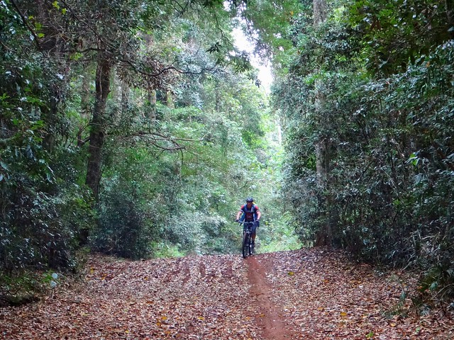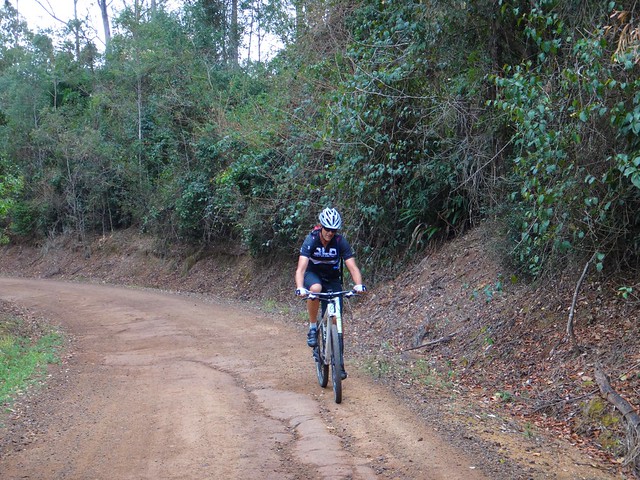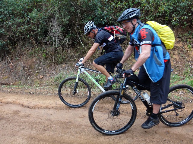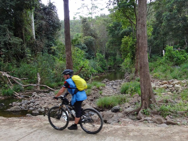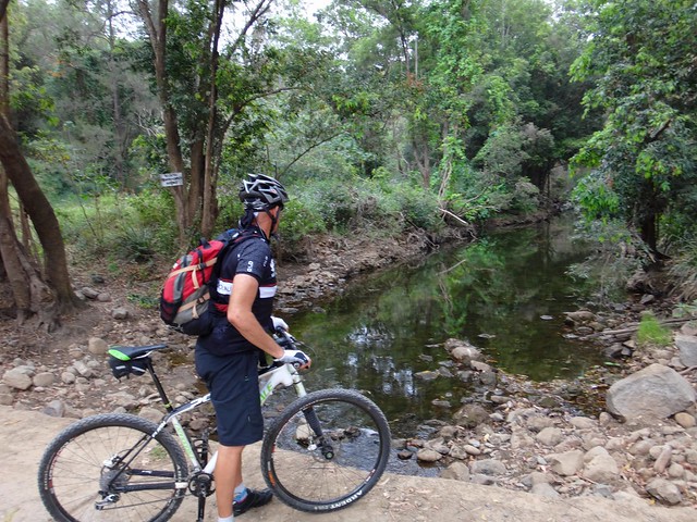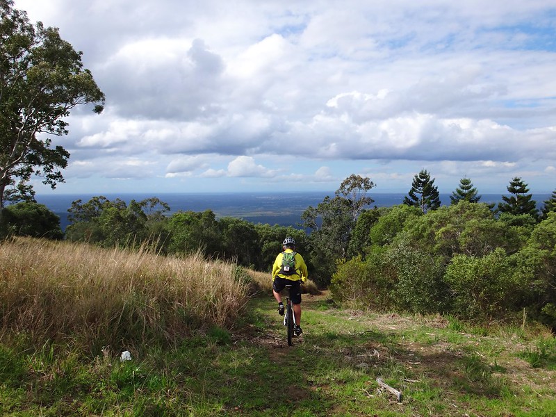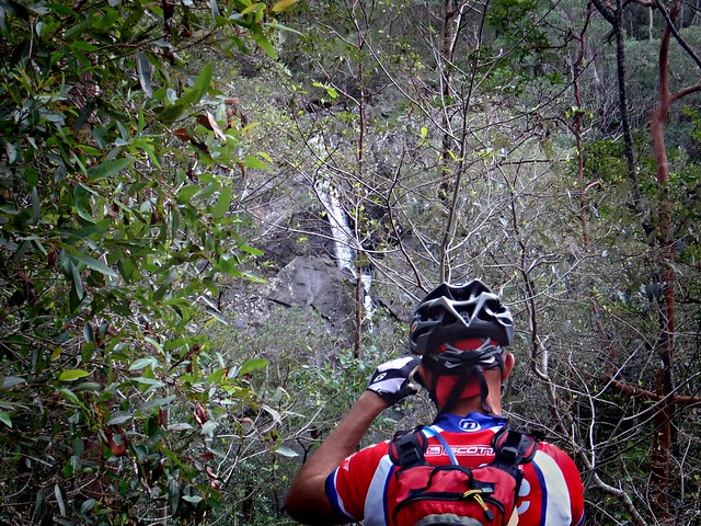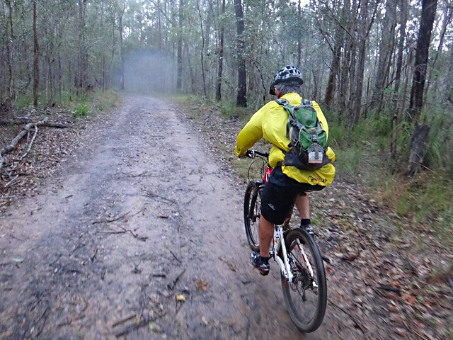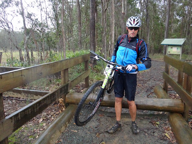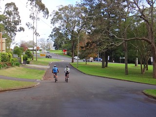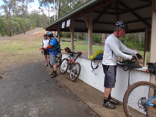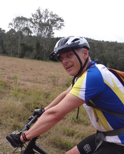
This morning we had planned an exciting group ride up into the Mt Mee section of D’Aguilar National Park. Unfortunately we had to cancel because of heavy overnight rain. Instead of a long morning ride with friends in the forest, I ended up doing a short solo afternoon ride close to home – pretty much around the block. It was probably one of the shortest Saturday rides I’ve ever done, but it was fun to check out some familiar places and revisit the history of the area.
Continue Reading
Category: History
Somerset Lookout
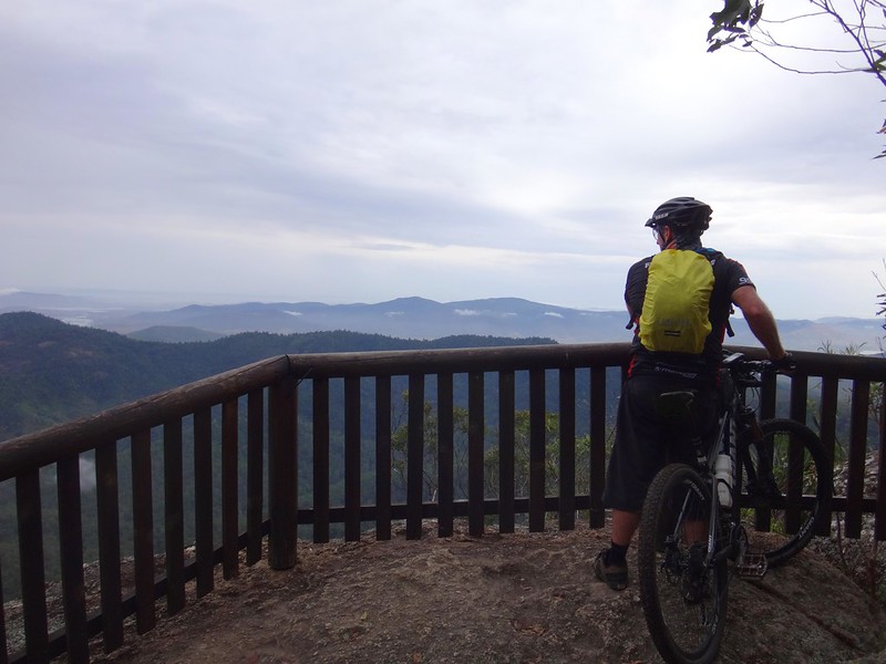
We’ve been to Somerset Lookout a few times. It’s a spectacular precipice on the edge of the western escarpment of D’Aguilar National Park, overlooking Somerset Dam.
The Somerset Region is named after pastoralist and politician, Henry Plantaganet Somerset who, in the 1870’s, became the first European to cross the D’Aguilar Range from Samsonvale to Cressbrook in the vicinity of present day Joyners Ridge Road. While not belittling Somerset’s achievement, it’s interesting to note that the Jinbara and Undambi Aboriginal people had been doing this for centuries before him. Perhaps Somerset should have just stopped and asked someone for directions 🙂
Today’s point-to-point ride started at Chambers Road in Mount Brisbane. While Darb was griding up this steep gravel road, our riding buddy, Paul was heading for the end-point of the ride, Neurum Creek. He planned to ride the route in reverse, and meet up with us near the halfway point.
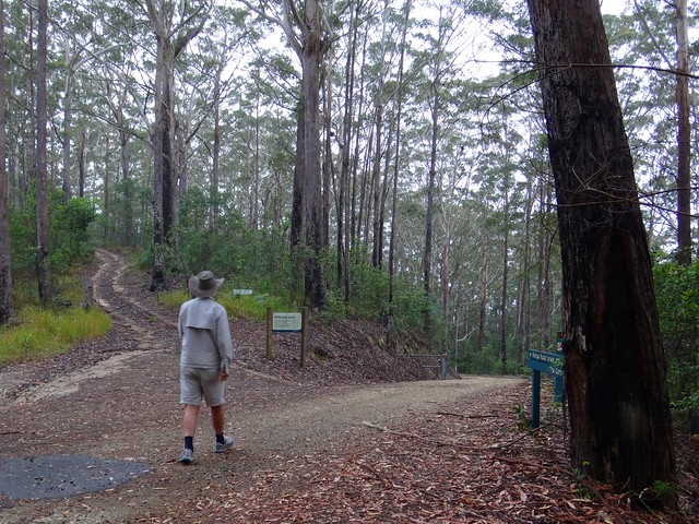
As usual, I was the designated driver for the day. It was my challenge to make sure I didn’t lose Darb when he disappeared down a twisty bush track, while keeping an eye our for Paul, making sure we didn’t pass each other unawares.
I love navigational challenges!
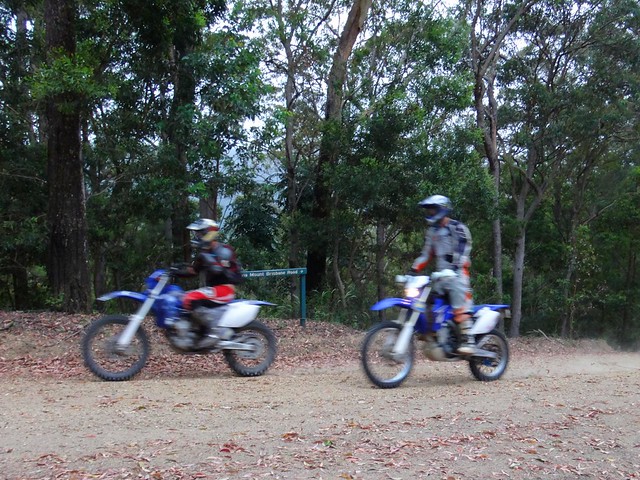
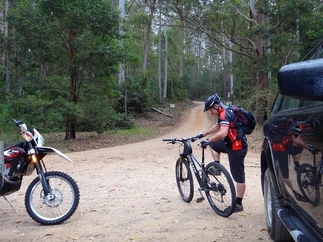
The other challenge about this section of forest is that it’s shared, so it was important to keep an eye out for friendly motocross riders who were also riding the trails.
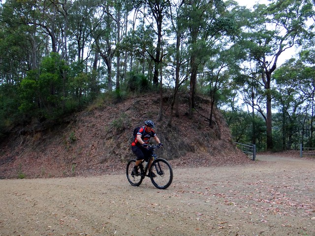
Darb is a powerful hill climber. I shouldn’t have been so surprised to see him make it to the top of Chambers Road in record time. He didn’t even stop, but kept grinding up Peggs Road.
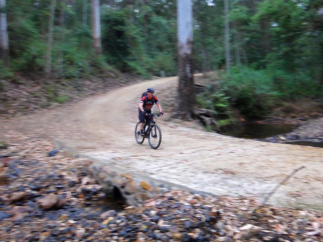
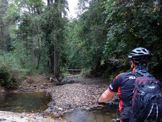
Peggs Road is challenging. After the tough climb to the top, there’s a wonderful winding descent to Byron Creek. The downhill section is the perfect place to catch your breath, because once you hit the creek crossing there’s another long climb up to Selin Road.
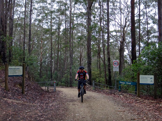
But, as usual, Darb nailed the climb up to Selin Road in record time. Later, when I looked at his Strava page for the ride, I noticed he had more Gold Medals than an East German weight-lifting team.
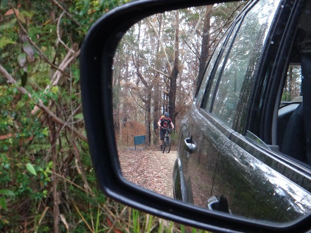
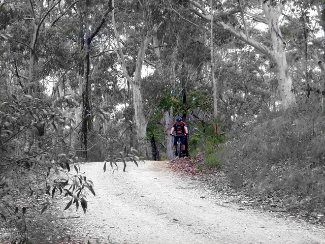
This was a different sort of Mountain Biking experience for me. We were both riding the same trails – except I was doing it in a car. Darb and I got into a rhythm where I’d drive ahead to the next interesting point on the trail, and wait for him to catch up. Usually I didn’t have to wait long. Mountain Bikes can move very quickly on rough forest trails.
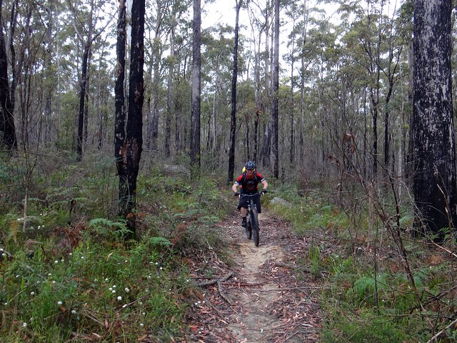
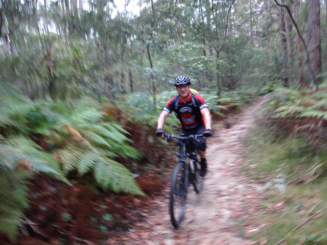
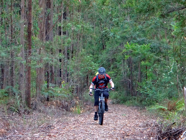
To mix things up a bit, Darb went off on some single tracks while I stuck to the road. When I next saw him he couldn’t stop grinning. Those narrow winding trails were a lot of fun.
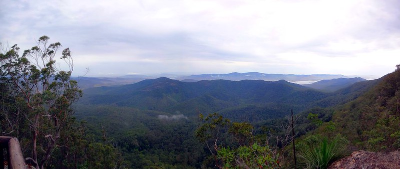
A popular destination for hikers, Somerset Lookout never disappoints. We could see Wivenhoe and Somerset dams in the distance, as well as the Stanley and Brisbane Rivers. We live in a wonderful part of thw world!
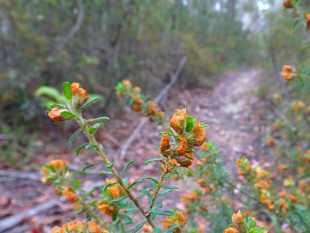
Like before, I rushed off ahead in the car then waited at the intersection of the road and the single track till Darb passed by on the bike. I was waiting here for what seemed like ages until I realized that Darb had been too quick for me. Although I had arrived at the point as quickly as possible in the car via the gravel road, Darb had been quicker on the narrow track. He had been and gone before I’d even got there. Nothing to see except wildflowers and tyre tracks 🙂
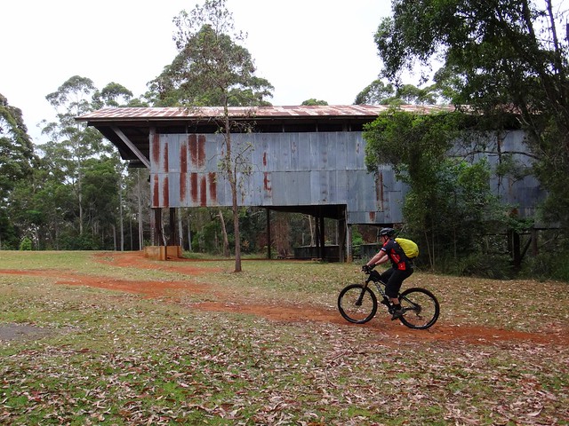
In order to catch up with my unstoppable riding buddy, I played it safe and headed for our “lunch” stop at The Gantry. “Lunch” is a misnomer – it wasn’t even 10am, but I think Darb had earned his lunch.
The Gantry is all that remains of The Hancock Sawmill that was built in the 1930’s to mill timber that was logged in this forest. It mas much easier to cut up the wood on the mountain than haul it down to Caboolture or D’Aguilar. The timber-getting days are over, and the forest is slowly growing back, although it may take a couple of centuries to regain some of the gigantic mature sentinels that once towered over this forest.
After our break, I sent Darb off into another part of the forest that was inaccessible to me in the car. He emerged a bit later than expected, with cuts from Lantana branches on his forearms.
“That was tough”, he puffed as he reached the top of the hill.
The overgrowth on those tracks made any sort of progress hard work.
Approaching us from the opposite directioin, Paul met us on Lovedays Road. He had ridden the tough climb up from the Neurum Creek Camp Ground and caught us pretty close to the Gantry. Considering he had started a couple of hours after we did, this was an impressive effort.
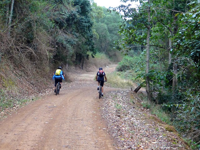
Driving with Mountain Bikers is tricky in hilly country. While they’re slower than motor vehicls going UP a hill, there are very few cars that can keep up with a skilled Mountain Biker going DOWN a dirt road. I played it safe and stayed behind the riders as we descended some of the steeper hills. I couldn’t keep up with them. Gee those guys are quick!
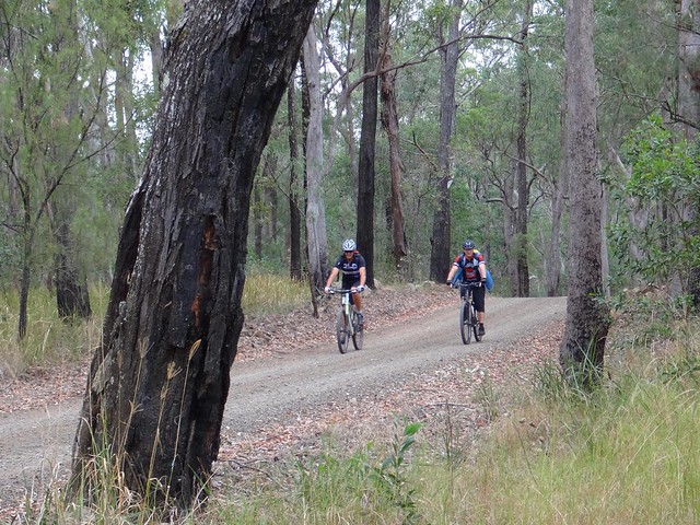
I just waited till they got to the bottom, then passed them on the way up the next hill.
With more downhills than up, we were in Neurum much sooner than we’d anticipated.
The 40km had taken Darb about four and a half hours including a total of about an hour in breaks. That’s an impressive pace for a route that had about 1,500 metres of climbing.
Darb said he’d rate it about 8.5 out of 10 on the tough-o-meter. I think the cooler weather was kind to us today. In hot weater, or in muddy conditions after rain, it would have been much harder.
Thanks, Darb and Paul, for another fun day out!
Here’s Darb’s video of the day:
Somerset Lookout 2013-09-28 from Darb Ryan on Vimeo.
Total climbing: 1533 m
Average temperature: NAN
Total time: 04:32:31
More data
Minjerribah
North Stradbroke Island is a stunning sand island which frames the eastern border of Moreton Bay, near Brisbane. It’s the second largest sand island in the world, after Fraser Island – a couple of hundred kilometres further north.
I spent a day roaming over this special place with my son, Jonathan.
Until about a century ago, it was one island. During a fierce storm, a ship laden explosives was wrecked on the Jumpinpin Bar. Local authorities detonated the explosives rather than risk a catastrophe while trying to retrieve the cargo. This weakened the sand bar, which allowed rough seas from the storm to break through, cleaving the island in two, forming a new passage between North and South Stradbroke Islands.
“Minjerribah” is the aboriginal name for Stradbroke Island. “Moorgumpin” is their name for Moreton Island. These islands, together with all of Moreton Bay are known as “Quandamooka” country. The Quandamooka Aboriginal people comprise three groups: The Goenpul and Noonukul from Minjerribah, and the Ngugi from Moorgumpin.

The only way to get to “Straddie” is by boat. Our ferry left Cleveland at 5:15am, so I had to get up at 3am in order to pick up Jonathan and get to the ferry on time.
Bleary eyed, and dosed up to the eyeballs with strong coffee, we stood out on the deck of the ferry, “Big Red Cat”, and marvelled at the amazing dawn.
As we drove off the ferry, our first destination was Brown Lake – an elevated fresh water lake in the middle of the island.
The sun was just rising over the hills as we arrived, so in true tourist fashion we gaped at the beauty while clicking off dozens of photos. It’s not every day you get to see a sunrise over a pristine freshwater lake.
A little further towards the east we arrived at the “Eighteen Mile Swamp” a coastal freshwater swamp stretching for almost 30 kilometres behind the coastal dunes. This amazing lake is the largest of its kind in the world and is home to a large number of rare and endangered species.
The swamp, surrounding forests, and dunes form part of the Naree Budjong Dara National Park. “Naree Budjong Dara” means “My Mother Earth” in the language of the Quandamooka people.
The beach here stretches as far as the eye can see in either direction. It was a wonderful feeling to be one of only a handful of people on the entire beach. Lots of space is good for the soul.
It’s important to remember that the beach is an official road, and that vehicles could pass by at any time. These drivers were bogged in sand and were desperately trying to free their car by scooping sand out from under the tyres.
As we made our way back from the beach, we stopped for a short walk around Toroise Lagoon – another fresh water lake that forms part of the “Blue Lake” system.
Because of my knee, I didn’t feel able to complete the full 6km walk around Blue Lake, but I felt pretty good about doing the shorter 3.5km loop around Tortoise Lagoon instead.
Back on the bay-side of the island near Dunwich, we checked out one of the few remaining Shell Middens on the island. Over centuries, Aborigines would sit around here, enjoying shellfish, oysters, crabs, etc. The left-over shells were discarded in a large pile. Over time this heap grew to several metres in width and a couple of metres high. I explained it to Jonathan as the remnants of a two-thousand year long indigenous seafood party.
“Imagine being able to go out on the rocks and pick up a handful of Sydney Rock Oysters, or Moreton Bay Bugs whenever you wanted”, I said to Jonathan.
Before European colonisation, this place was paradise. Life here must have been full of contentment.
We then made our way northwards towards Amity Point, at the north-western tip of the island.
This is a fascinating point for a number of reasons:
It’s not far from here across the treacherous South Passage to Moreton Island. This is a dangerous passage because of shifting sand bars, strong currents, and unpredictable conditions.
At this point in 1823, the local Aboriginal people had their first face to face contact with Europeans. Last week I wrote about three shipwrecked ticket of leave convicts who were rescued by John Oxley on Bribie Island. Finnegan, Parsons and Pamphlett were washed ashore on Moreton Island. The Ngugi people on Moreton kindly fed these poor begraggled strangers for two weeks, and then rowed them across the South Passage to Amity Point. The Noonukul cared for them for another five weeks before eventually sending them on their way across the bay to the mainland via Peel Island, coming ashore near Ormiston.
A couple of decades later, Europeans were colonising Moreton Bay, including the Island. Amity Point was chosen as a Pilot station because of its proximity to the South Passage. The Cargo Ship, Sovreign, was moored off Amity for over a week in heavy weather. She attempted to clear South Passage, but was wrecked in the process, going down about two kilometres off shore.
A group of Aboriginal men, some from Minjerribah, some from Moorgumpin swam to the wreck, at great risk to their own lives. They were able to save the lives of ten passengers. Unfortunately, 44 people drowned.
It was a tragedy, but the aboriginal men were heroes, and were honored by the NSW government for their bravery.
Today, two of these brave men, Toompany and Nuggin, have streets in Amity named after them.
As we drove along the northern tip of the island, towards Point Lookout, Jonathan and I discovered more historical gems at Cylinder Beach.
In 1803, the colonial ships, “Cato” and “Porpoise”, were wrecked on reefs east of Gladstone. Matthew Flinders took the ship’s cutter, and decided to sail the small open boat back to Sydney with thirteen other men. After sailing 600 km south, they were running dangerously low on water, and anchored off Cyclinder Beach to find water. Some aborigines on the cliffs saw them, and signalled to them where they could find fresh water from a small creek nearby. After refilling their casks, the crew were able to complete the perilous 1,000 km voyage to Sydney.

When we looked along Cylinder Beach today, speckled with holiday makers, it seemed a long way from the remote water stop for thirsty sailors over two centuries ago.
The warm turquiose ocean is stunning to look at here. As I soaked in the beauty it occurred to me that the original inhabitants of this place were fortunate to live happy, healthy lives in one of the most bountiful places on the planet. They enjoyed a standard of living higher than most of the Europeans who were trying to colonize them. In most early contacts, they responded with kind-hearted generosity.
Thomas Pamphlett came from the north of England during the industrial revolution. It would have been cold, dirty and crowded. His poverty would have made it difficult to find food to eat each day. I wonder how he would have remembered his seven weeks in the sun with the Quandamooka people?
At Point Lookout, on the north-eastern tip of the island, we walked around North Gorge. This is a spectacular inlet where the waves rush up the narrowing gorge.
It’s also a great spot to gaze out at the Pacific Ocean and watch for migrating Humpback whales.
You wouldn’t believe it was the last day of “winter” – the warm water was full of surfers.
From the headland we were able to look southwards down Main Beach as far as our eyes could see.
What an amazing place. I’m definitely coming back here on a bike when I am able 🙂
All up we travelled about 220km. It was 55km each way to the ferry at Cleveland, 10km each way across the bay and back on the ferry, and about 100km of driving on the island. To take a car on the ferry costs about $140, although during the winter months if you catch the early ferry it only costs $80. For a car with 4 or 5 passengers all contributing to the fare, it works out pretty cheaply.
We spent 9 hours on the island and didn’t feel rushed looking at all the things we wanted to see.
Total climbing: 3267 m
Average temperature: 29
Total time: 10:53:50
More data
Total climbing: 323 m
Average temperature: 20.6
Total time: 01:08:33
More data
Bribie
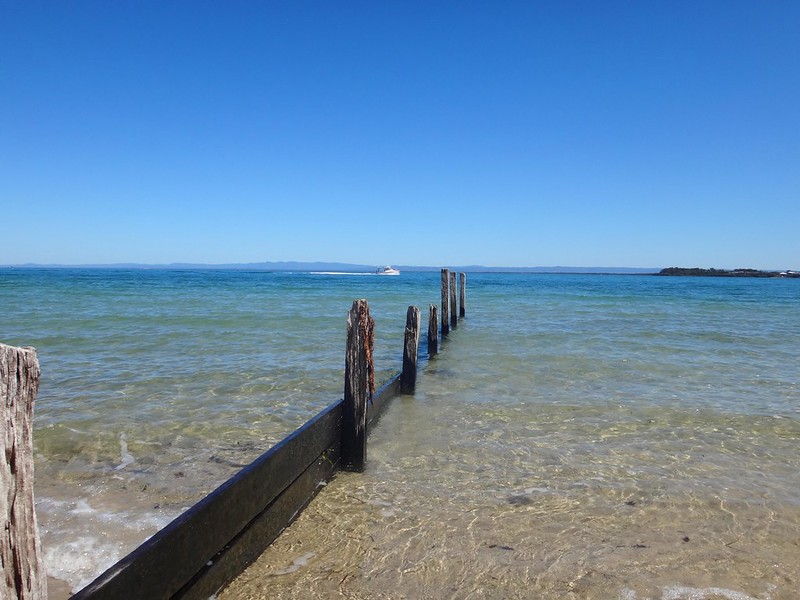
Bribie Island is a sea-side paradise, less than an hours drive from the northern Suburbs of Brisbane.
The aboriginal name for the island is “Yarun”, meaning “Crab”. According to traditional legends, Yarun (or Yirrin) was a greedy man who ate too much honey. The bees smelled the honey, and covered him with wax. He ran out into the water, but the tides and the bees weighed him down. He got stuck in the mud, the wax hardened and before long he had turned into a crab. He and his people have been crabs ever since.
The name “Bribie” comes from the Aboriginal word “Boorabee” which means “Koala”. In the early days of the Moreton Bay convict settlement, several convicts escaped and made their way to Bribie Island. Eventually, the word “Bribie” became synonymous with disappearing from every day life: when a man from Brisbane had left town without leaving an address, people would say he had “Gone to Bribie”.
Harrison and I spent a lazy day exploring the history of this wonderful place. Perhaps we should have let people know we’d “Gone to Bribie” 🙂

One of the stories of Bribie Island that has intrigued me for ages is the story of Kal-Ma-Kuta, a Joondaburri aboriginal woman. I’ve often driven past an unusual memorial about her, built in the middle of the busy four-lane road as you approach the Bribie bridge on the road from Caboolture, near Turners Camp Road.
The memorial, erected in 1962, said that Kal-Ma-Kuta was the “Last of the Joondaburri Tribe”.

Today we decided to stop and have a look, and try to answer a few questions about her.
We parked the car near the beach on Turners Camp Road, planning to walk back to the memorial and check it out, but discovered a newer memorial near the water…

According to the plaque, this place was where Kal-Ma-Kuta (who was also known by the anglicized name “Alma”) and her husband, Fred Turner, built a house shortly after they married in 1872. They had eight children together, and lived together at this spot until Kal-Ma-Kuta’s death in 1897. The place became known as “Turners Camp” because of them.
This raised another question for me: If Kal-Ma-Kuta had eight children, why did the memorial say she was the last woman of her tribe?
I eventually found an old (2004) copy of Indigenous journal, “The Koori Mail”, which recounted a story that in the 1870’s oyster fisherman, Fred Turner, had a boating accident. He was rescued by a young aboriginal woman and eventually married her. Fred and Kal-Ma-Kuta had an oyster lease, and also were responsible for lighting the beacons on Toorbul Point (known today as Sandstone Point). The article also said that the Turner’s great grand-daughter, Daphne Kalmakuta Dux, had successfully lobbied local politicians to erect the newer memorial by the water.
Now 85 years old, Aunty Daphne, is an artist who paints stunning works depicting her aboriginal heritage.
Here’s a short video of her, filmed by students at Lismore TAFE in 2009…
I was able to speak with Aunty Daphne on the phone. I asked her about the “Last of her tribe” comment on the 1962 memorial. She told me, “I’m one one of Kal-Ma-Kuta’s descendants. I’m Joondaburri. So we can’t all have disappeared!” I’m glad she sorted that out.

You can see some of her amazing work at Serpentine Arts.

The “Koori Mail” article said the Turners had a contract to maintain navigation beacons in the Pumicestone Passage at Toorbul Point. My friend Jason had told me the day before that if we had a look around Toorbul Point we might find the remains of an old Aboriginal fish trap. So Harrison and I decided to pop down the road and have a look around…
I asked a fisherman at the point if he knew about the Aboriginal fish trap, and he pointed to a spot a few metres away and said “Yes. It’s right there. But you won’t see much at the moment because it’s high tide”.
The whole idea with fish traps was to build a wall of rocks that would be submerged by the rising tide. Fish would swim into the enclosure, and be trapped as the tide fell. The successful fishermen would then help themselves to fresh seafood.
Before Eurpoean settlement, this place was a seafood lovers delight. What we know today as expensive Sydney Rock Oysters could be picked fresh from the rocks. Crabs, fish, dugong, turtles…. there was an abundance of good food for the local inhabitants.
This quartet of simple markers tells the story of three english ticket-of-leave convicts who, in 1823, were shipwrecked on nearby Moreton Island. Suffering a fierce storm off the coast of Newcastle, south of Sydney, they had drifted for several weeks before being washed ashore almost 1,000 km to the north. After being cared for by the Aboriginies on Moreton and Stradbroke Islands, they made a canoe, crossed Moreton Bay and came ashore at near present day Cleveland, south of Brisbane.
Finnegan, Parsons and Pamphlett thought they had been washed ashore south of Sydney, so started walking northwards in the hope of going home. But instead they crossed several rivers and eventually ended up living with the Joondaburri on Bribie Island.
The diet these three ex-convicts enjoyed on the islands of Moreton Bay was probably the most healthy and sumptious they had ever experienced in their short, unfortunate lives.

Harrison and I visited the Museum on Bribie Island, and found this photo, by Jon Rhodes, of the same Toorbul Point Fish Trap that we had been looking for earlier in the day. It might be an idea to go back to this point at low tide and see if the fish trap is easier to see.

Taking a break from history, we grabbed some morning tea and sat by the water to enjoy the views of the mountains in the distance.
We planned to head to the southern tip of the island to check out a bit more local history. But before doing that, we wanted to have a look at “Buckley’s Hole”. This is an artificial lagoon which was created in the 1980’s when the council built a sand wall across the mouth of a slow-running creek to deter mosquitoes from breeding. The lagoon is an important habitat for a large number of different bird species. To allow visitors to observe the birds, there’s a small “hide” overlooking the lagoon.

We spent a while quietly watching the wildlife from the hide. A few swallows kept flying in and out of the windows. Keen-eyed Harrison realized there were several nests inside the hide on the wall immediately behind us. We were delighted to find some beautiful speckled eggs inside.
Buckley’s Hole is also important culturally. There are a couple of shell middens nearby, formed over centuries as Aborigines gathered to enjoy shell-fish and then discard the shells.

It’s also close to the first documented encounter between Europeans and Aborigines at “Skirmish Point” – as depicted in this painting by Don Brabden that we saw in the Bribie Museum. It shows Matthew Flinders rowing ashore from his sloop, The Norfolk.
Funnily enough, this is also the same point where our three ship wrecked ex-convicts: Finnegan, Parsons and Pamphlet, were found almost 24 years later by an astonished John Oxley in 1823.

Harrison and I made our way down to Skirmish Point. There were no old wooden sloops there today – just a flotilla of modern pleasure craft, and a small cruise ship in the distance.

What a beautiful part of the world!
Eventually we made our way across to the eastern side of the island, or “surf side” as the locals call it.
It didn’t take us long to find our final historical landmark – the old World War II bunkers in the sand dunes behind the beach. These bunkers had a couple of 155mm guns mounted on them and were capable of hitting a target 30km away. The shipping channel at this point comes in closely to the coastline, so it was an ideal point for the fortifications. The bunkers were also used to monitor the channel for submarines, and were capable of detonating submerged mines if intruders were detected.

From this spot on Bribie, Moreton Island looks quite close.

History lesson over, we decided to stop at a cafe in Woorim for a late lunch before heading home.
Today’s trip was only 116km in the car, with about 3 hours exploring on foot, and 2.5 hours driving.
Thanks Harrison for a fun day of exploration!
Historical notes:
1. People more qualified than I suggest that the Joondaburri tribe are part of the Gubbi Gubbi (or Kabi) Aboriginal people.
2. In referring to Kal-Ma-Kuta as the “Last of the Joondaburri Tribe”, the authors of the 1962 monument were probably alluding to the sad fact that most of the tribe had desserted Bribie Island by about 1880. Habitat destruction by European settlers had rendered the island unable to provide enough food for the indigenous population.
3. Aboriginal freedom fighter, Dundalli, was adopted by the Joondaburri tribe, and was involved in some gruesome conflicts with European settlers which eventually resulted in his execution in 1852.
Ocean View
We didn’t want to stray too far from home today, so I took my friends on an exploration of my “back yard” starting from the railway station down the road, and riding up into the mountains at Ocean View (near Mount Mee) before rolling back to Burpengary to catch the train. I love rides like this because it reminds me how lucky I am to live in such a beautiful place. Even though we might sometimes drive a few hours to explore a place on the mountain bikes, it’s reassuring to prove the old proverb that there is no place like home.
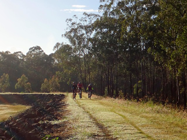
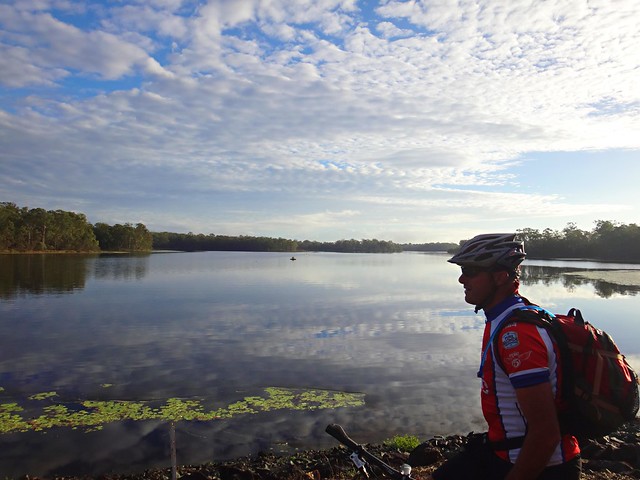
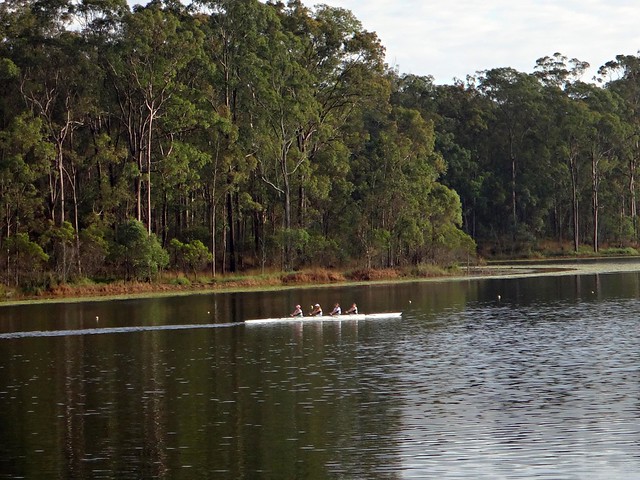
We started off riding along the shoreline at Lake Kurwongbah. As if on cue, as soon as I started taking pictures, these rowers appeared out of nowhere. Don’t you just love days like that?
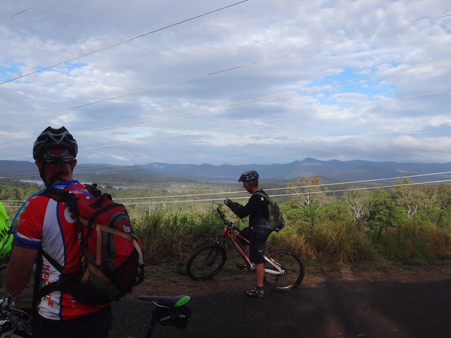
From there we headed for the shoreline of Lake Samsonvale and rode a few of the trails there. It’s quite hilly under the power lines, so we stopped for a rest at the top of the hill to enjoy the great view of the D’Aguilar Range to the west.
This led us to one of the more historic trails in the area. “The Old North Road” was used here in the 1840’s by the Archer Brothers as a way of getting from Nundah near the Moreton Bay Settlement to Durrundur Station, near present day Woodford. It was based on an old Aboriginal pathway used for generations by people who walked from Meanjin (what we call “Brisbane” today) to the Blackall Ranges (near present day Maleny). These days, an un-built gazetted road, Dunlop Lane, follows the parts of this route. It’s a popular trail for horse riders.
As we slowly made our way in a north-westerly direction towards Ocean View, the hills grew steeper, and the climbs became more challenging…
Eventually we reached the major climb of the day – Mountain View Road. What a big hill!
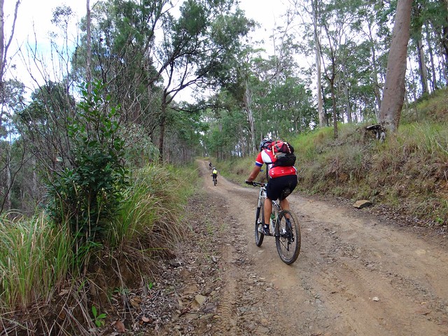
Photos don’t do it justice, but even Eric and Jason (both very strong hill climbers) had to walk bits of it. I did too. 🙂
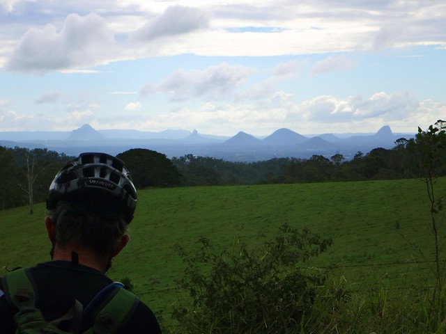
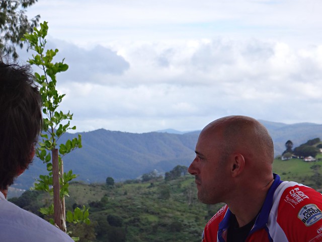
We had a well-earned lunch at the top of the hill in a picnic area. In whatever direction we looked we were treated to great views.
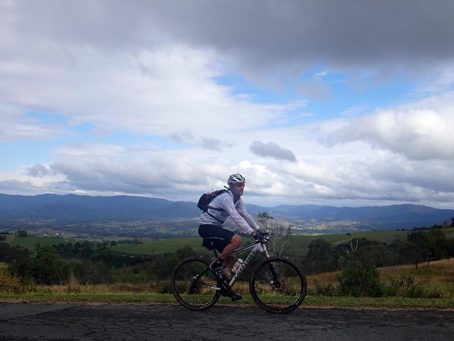
After lunch we continued north towards our next point of interest – the source of the Caboolture River. This river starts as a mountain stream in the rainforest at Ocean View. I thought it would be interesting to check it out.
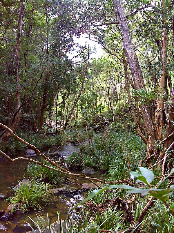
As we made our way along the track the sound of rushing water echoed through the trees. It wasn’t until we were almost right on top of it that we found the Caboolture River pouring over a waterfall.
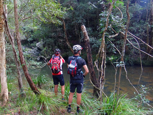
It looked impressive but we couldn’t find a place to cross the river at this spot, so we made our way back up the hill to try and find a way above the waterfall.
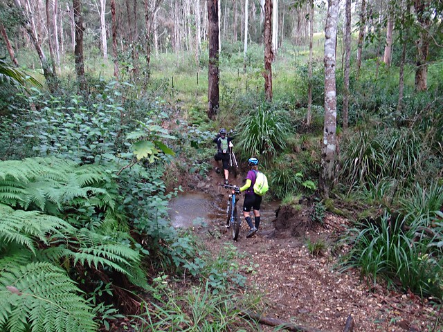
It was a bit of a circuitous route through fern covered gullies…
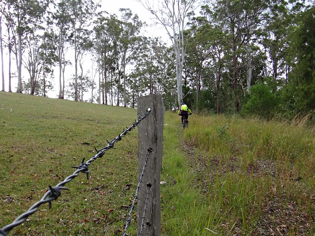
…along barbed wire fence lines…
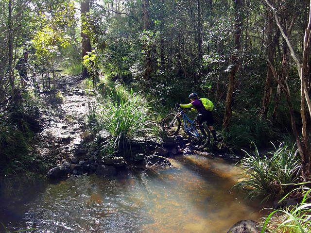
… and over more river crossings…
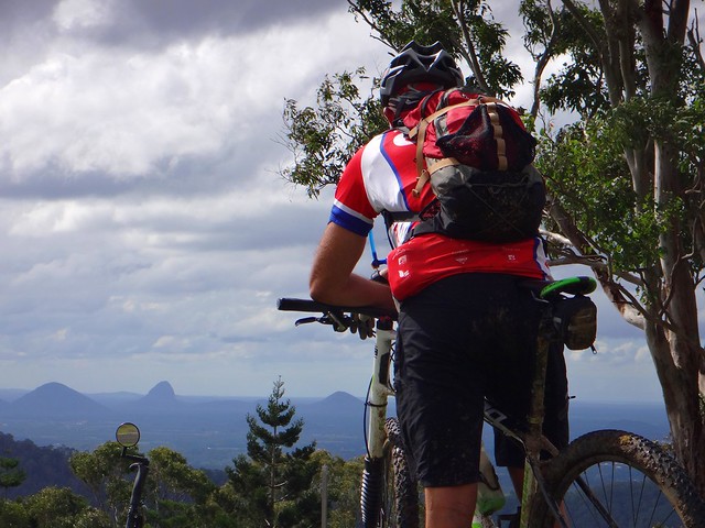
… until we finally made our way out of the thick bush and back onto the edge of the mountain range on Dean Drive. We’d paid our taxes in advance to the gravity gods, and so now we were able to enjoy an intense descent back down the hill.
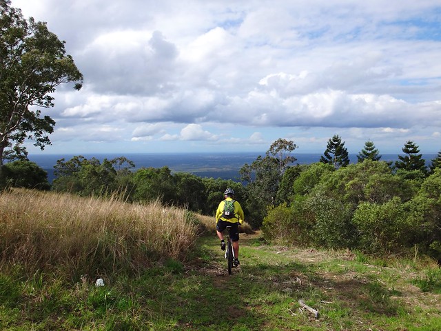
We took one last view at the panorama looking east towards Moreton Bay, and started the downhill run. This was one of the steeper tracks I’ve ridden down. To maintain control, I hung my backside out over the back wheel as far as I could. So far, in fact, that it was almost touching my rear tyre. But I survived the descent and was able to stay on the bike.
As we reached the bottom of the range, it started raining quite heavily. We adjusted our route to get back to Burpengary Station as quickly as possible, shaving a few kilometres from our original route. We were still able to enjoy a quick (but wet) ride through Sheep Station Creek.
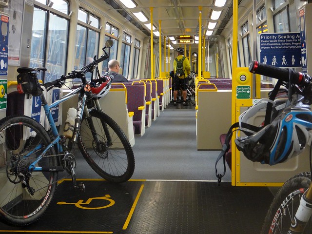
We eventually made it to the train with about 15 minutes to spare, having ridden almost 70 km in seven hours. We climbed almost 1,800 metres and I burned about 3,500 kcal.
I’m rating this one 8.5 out of 10 on the tough-o-meter. The climb up Mountain View Road was tough. It was quite difficult bashing through the rainforest to get across the Caboolture River. The descent back down the range was challenging as well – not for beginners.
Thanks to Rebecca, Eric, Paul and Jason for a great ride through my back yard!
Total climbing: 2509 m
Average temperature: 17.2
Total time: 07:03:19
More data
Toowoomba
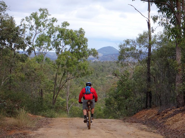
Eric and I had a couple of objectives today:
I had a few gaps in my Ride Network Map which I wanted to fill in. We’ve done a few rides in this area recently, and it would be satisfying to link them all up.
Also, Eric wanted to check out a few tracks near Toowoomba to help him plan an off-road route from Brisbane to Toowoomba.
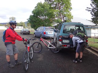
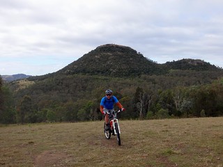
Jaime from Toowoomba Mountain Bike Club kindly agreed to join us for the ride. When exploring new areas, it’s always helpful to bring a local 🙂
We started our adventure at Withcott – a small town at the bottom of the Great Dividing Range. While heavy traffic whizzes through here trying to pick up speed before climbing up the hill to Toowoomba, our plan was for quieter trails. We rode south from Withcott up some quiet back streets towards Tabletop Mountain. Berghoffer Drive and Tabletop Road are very steep paved roads. If you’re interested, have a look at the Google Street View link here. We slowly ground our way to the top of the road, wondering what we had got ourselves into.
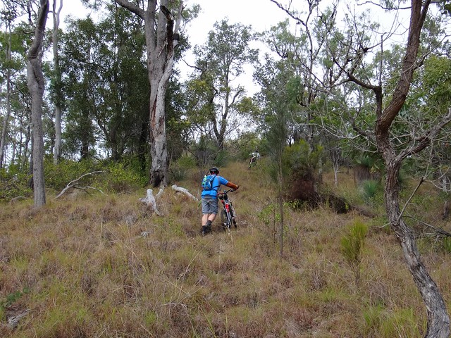
But as any seasoned Mountain Biker will tell you (especially if Road Bike riders are within ear-shot), paved roads, even steep ones, are nothing compared to the challenge of off-road climbs.
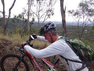
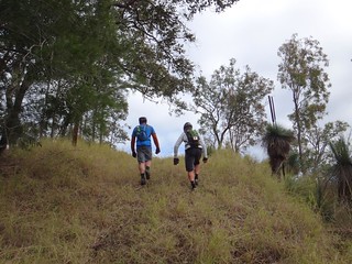
We slowly climbed up the range – sometimes pedalling, mostly pushing our bikes upwards.
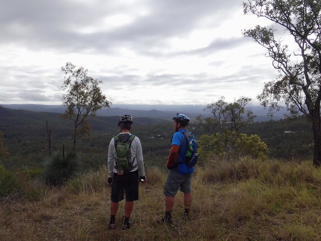
The views to the east were delightful.
My brother-in-law, Paul, lives in Toowoomba, and met us at the top. We carefully scurried across the busy Warrego Highway at the top of the Range and made our way towards Jubilee Park.
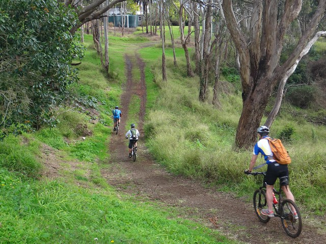
Jubilee Park is a mixed-use reserve which sits on the edge of the mountain stretching down the hill from Prince Henry Heights and Mount Lofty towards Withcott.
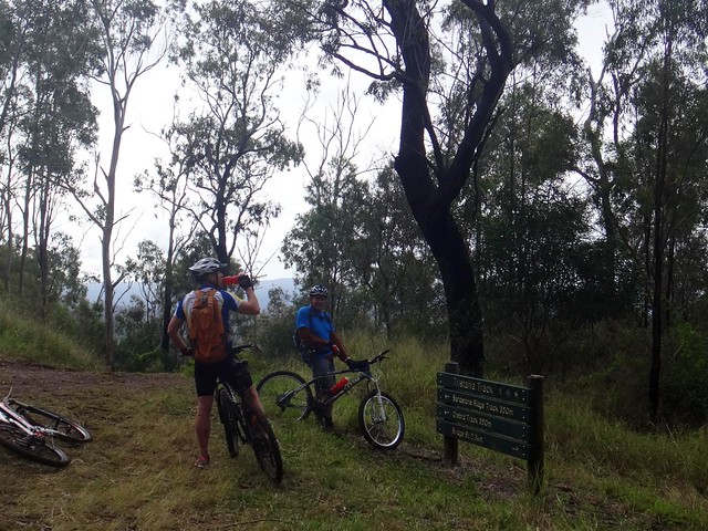
It boasts a variety of single tracks downhill runs, and a “bridle trail”. Because of recent rain, we decided to avoid the single tracks, and rolled down the hill along the bridle trail.
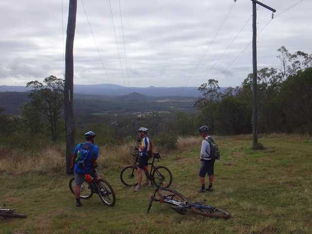
We had more great views on the way down, but the sticky mud quickly collected on my wheels and totally clogged them up. I had to pull out handfulls of mud from the wheel arches and chain stays just so I could get the wheels turning again.
When we reached the bottom we took a few minutes out at the picnic shelter to scrape off the rest of the mud and prepare for the next big climb. I was a bit worried about Paul. He had only ridden a bike once in the last year because of an injury, and I wasn’t sure how he’d cope with the next bunch of steep muddy hills.
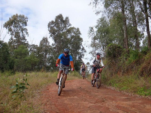
Wallens Road winds back up the range from Withcott to the railway siding at Ballard. There are very few flat sections. It’s all either uphill or down. In wet weather, most of it is muddy.
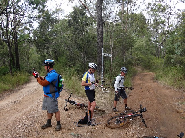
We slid down several precipitous slippery tracks, and heaved the bikes up some equally challenging slopes before finally emerging to the luxury of reasonably graded dirt road. Jaime assured us we were only 15 minutes away from our lunch stop at Spring Bluff, so Paul put in a quick call to Karen to drive down to pick him up and meet us for lunch.

The short drive up to Spring Bluff Railway Station involves a nasty little 25% climb. The thought of lunch kept us turning the pedals. Paul had an added incentive as Karen was watching. Well done, Paul. That was a great effort for someone who hasn’t been on the bike much lately.

Eric often says “Hunger makes the best sauce”. I agreed with him as I inhaled my delicious burger.
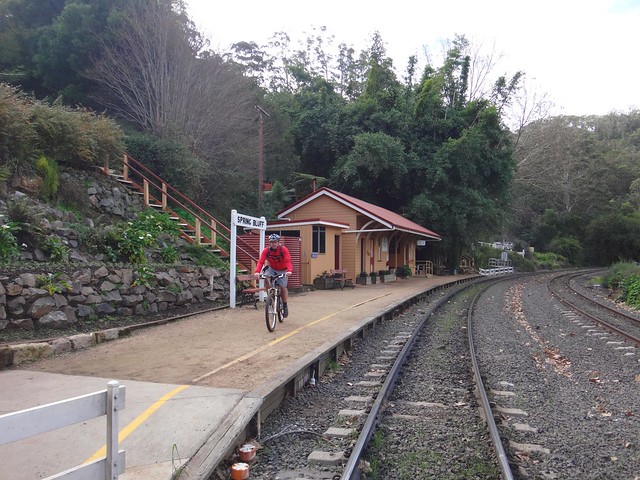
The railway line up the Main Range was constructed between 1864 and 1867. Highfields Railway Station was important because it served as a watering stop for locomotives struggling up the range, and was a loading point for Timber and Dairy products from the Highfields area. Railway Commissioner Gray was particularly fond of the area, and renamed it “Spring Bluff” in 1890. In its heyday in the 1900’s, the station handled over 5,000 passengers per year.
These days it’s much quieter, although you can still sometimes catch a steam train to Warwick.
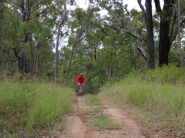
After lunch we enjoyed a leisurely roll down the hill towards Murphys Creek.
Then, heading into the bush along “Green Gully Road”, we made our way towards the Bicentennial National Trail (BNT).
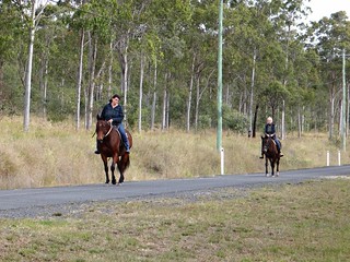
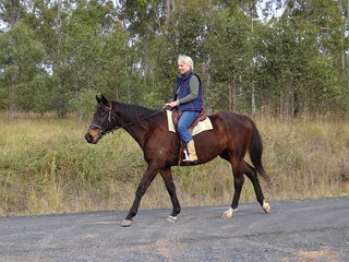
It’s always nice to meet fellow travellers on the trail. I don’t often see bikes like this though 🙂
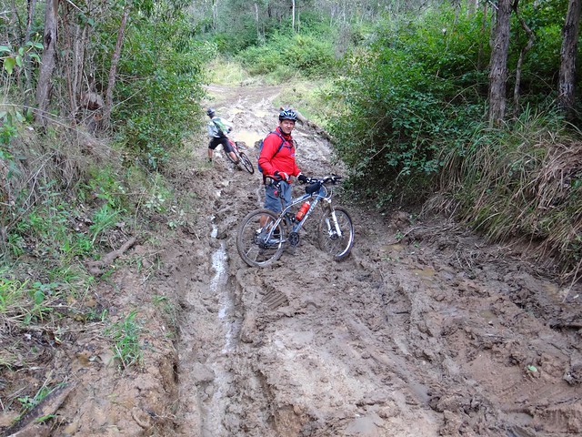
The gruelling mud on Green Gully Road made progress very difficult. We couldn’t ride much of it, because the mud stuck to the wheels. In fact even when I pushed the bike, the wheels became clogged with mud. So I carried it. It was hard work, but I laughed about it – even a muddy day on the bike is better than a day indoors.
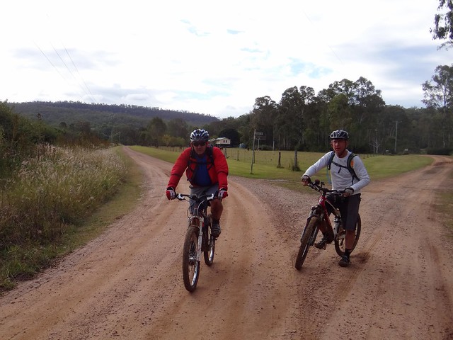
We eventually reached the BNT on Stevens Road and enjoyed a few precarious downhills on the homeward run towards Withcott.
It might look like a quiet country lane, but this trail is an important route stretching from Cooktown to Melbourne down the great dividing range. I often wonder who has recently passed by on their way north or south.
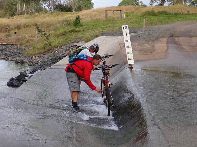
Before finally arriving in Withcott, we washed the mud off the bikes in a flooded causeway. Eric seemed surprised when I joined in because it meant getting my feet wet.
We rode just over 50km in 7 hours. It was slow going. We climbed about 1,600 metres and I burned about 3,500 kcal.
I’d rate this one 8 out of 10 on the tough-o-meter.
A word of warning though – the mud makes it very difficult after wet weather. The climbs would be difficult in summer. This is probably a ride you’d want to try in the drier, cooler weather of early spring.
Thanks Eric, Jaime and Paul for yet another fun adventure!
Total climbing: 2508 m
Average temperature: 16.9
Total time: 06:57:58
More data
Murphys Creek

There’s an unusual creek which flows down from the Great Dividing Range below Toowomba.
Aborigines used to hunt for fish in this creek, which could at times run dry, and at other times transform into a raging torent during the wet season. Once a grass fire swept through the area and burned the fishing nets of the local tribe. So from that day they called the place “Tamamareen” which means “Place where the fishing nets got burned by a grass fire”.
In the 1860’s, a shepherd named Murphy built a hut in the rough foothills near this creek.
Several years later in 1867, a water tank and railway station were built at the bottom of the range to service steam engines grinding their way up the range to the Darling Downs. They decided to name the station after the local creek, which by then was known as Murphys Creek after the shepherd.
In a short while, a small town had sprung up around the railway station.
According to historical writer, Van Derek, Chinese market gardeners camped by the creek in the 1860’s and 1870-‘s. They grew vegetables which they then sold to the men working on the railway line.
Disaster struck when a torrential downpour caused a flash flood of the creek, drowning the Chinese who were camped on its banks. Local rumour has it that there is a mass grave in the Murphy’s Creek Cemetery containing the bodies of the victims of that flood.
And as most Queenslanders will tell you, this fickle creek had the final word in 2011, when it broke its banks again, and destroyed an entire town.

A dozen of us rode off from Helidon to explore this fascinating part of the world.

Since Helidon was pretty much the lowest part of the ride, we started with some gentle climbs near Lockyer before having to work our legs harder as we neared Murphys Creek.

Heading down cemetery road, past the legendary mass chinese grave, we could see some of the challenging foothills that lay ahead. These hills comprised the “small climb”. We’d grind up to about the 600 metre level, and then enjoy a quick downhill run before taking on the “big climb” up Fifteen Mile Road to Hampton at almost 800 metres altitude.

It might have been the “small climb” but the hills around Murphys Creek are tough to ride. At times we had to push the bikes.
Some of the hills were so tough, we couldn’t even push the bikes up them. We let Steeve get halfway up this hill (so we could photograph him) before we decided to turn around and try an easier route. I don’t think Steeve minded too much 🙂
Thank, Jeff, for showing us an easier way through the bush. I think we’d still be in there fighting our way out if it wasn’t for you.

Eventually the monster hills gave way to undulating terrain, and we enjoyed the relatively flat tracks as we gave our legs time to recover. We had crested the “small climb”.
These trails were wonderful. For about six kilometres we wound our way down steep tracks on narrow trails, tyres sliding on the gravel, jumping over waterbars, and hardly having to pedal at all.
I loved it!

The trail spat us out, as steep trails often do, in the middle of some grassy fields at the bottom of a place descriptively named “Fifteen Mile”. We had a bit of a snack here, which was a good thing, because the “big climb” lay ahead.

Fifteen Mile Road is a nine kilometre ascent which rises about 450 metres. I was the slowest up the hill, so all I managed to photograph was Steeve ahead of me, snaking up the hill, trying to make the climb a bit easier while slowly wending through the blanket of green eucalypts either side of the smooth clay road.

But all hills eventually come to an end, and soon we were coasting over the rolling plateau at the top, near Hampton.

The cafe at Hampton serves delicious mountain bike fuel. The Lamb-burger, short black and Chocolate Milkshake hardly touched the sides.
“Now where’s a hammock so I can have a short nap?” I pondered.


With lunch over, and satiated riders back on bikes, we rocketed down the bitumen along Esk-Hampton Road towards the lookout. This is a busy road, mostly downhill, so we enjoyed the free roll down to Perseverance.
The sign says: “Small Cheer and Great Welcome Makes a Merry Feast” – William Shakespeare.
I couldn’t agree more 🙂


The hills out the back of Perseverance were hard work – especially after such a relaxing lunch. But the surrounding countryside was picturesque.

A couple of us ended up falling in the mud after coming across this muddy bog at the bottom of a hill. I thought I’d try and get a picture of Eric doing the same, but he gave us all a lesson in negotiating slippery terrain, and eased through without faltering. You da man, Eric.


Our tribe of bedraggled muddy riders emerged from the forest to Gus Beutels Lookout. Even though it was cloudy, the view didn’t disappoint. Even the rain clouds rolling in from the south didn’t obscure the panorama.
Rain clouds?
“Do you think we’ll get back before the rain hits us?” somebody asked.
Maybe 🙂

And so began the “big descent” down Seventeen Mile Road – a long (mostly) dirt road, stretching 30 kilometres back to Helidon, with only one or two uphill sections.
There were one or two near misses on the screaming descent. Dom took a corner a bit too widely and ended up colliding with some rocks. “You were a bit lucky there, Dom”, I said. It could have been a lot worse, but he only suffered a few scratches and bruises.
I took a slight detour so that this route would connect with the rest of my map. Half the group kept rolling down the hill while I did this, and few waited. Unfortunately this meant we copped the rain during the final part of the ride, while the others arrived back nice and dry.
But a little bit of rain at the end of a tough ride is almost pleasant.
This ride was 83km and took 7 hours including breaks. We climbed a total of 1,833m. I burned about 3,500 kcal.
I’d rate this one 9 out of 10 on the tough-o-meter. This was in cool rider-friendly weather. I wouldn’t attempt it in summer.
Thanks everyone for a fantastic ride. Geeze I have some great friends.
Total climbing: 2597 m
Average temperature: 14.8
Total time: 07:05:13
More data
Down the Shute

Maleny was built on timber – literally.
When the new Queensland Government repealed the “Bunya Proclamation” in 1859, they opened up large tracts of dense forest that had previously been protected for the benefit of local Aborigines. Timber-getters hungrily harvested thick forests on the mountains around Maleny.
The only problem was getting the massive logs down the mountain – which was where “The Shute” came in. The logs were slid down long steep shutes (that’s the old-fashioned way of spelling “chute”), such as McCarthy’s Shute, to waiting bullock drays at the bottom of the mountain. From there, the precious cargo would be lifted onto carts, and hauled to timber mills.
Today we followed the slippery path of the logs, and rode our bikes down McCarthy’s Shute.
Bernie kindly drove us up the mountain to our starting point at Mary Cairncross Reserve, on the outskirts of Maleny. Amid the damp mist and light drizzle, we headed westwards down the hill towards “The Shute”.


McCarthy’s Shute starts off as a picturesque hill gently winding down the slopes of the Blackall Range.

Even though they were wrapped in clouds, the surrouning hills looked pretty enough to prompt me to stop a few times for the obligatory photo 🙂
Eventually the road transforms into a “Shute” 🙂 It gets steep, muddy and slippery – perfect mountain biking terrain.


The “road” disappeared in one spot and we had to scramble over a gulf in the road a couple of metres wide.

We finally reached the bottom of the descent at Ewen Creek – a tributary of the Stanley River which runs only a couple of kilometres from here. (Yes, I got wet feet!)

The next physical challenge was a gruelling climb up Macdonalds Road. Thankfully it was paved, but this nasty little pinch reaches slopes in excess of 25% as it makes its way up one of the precarious peaks near Bald Knob. (Oh, why do cameras always make steep hills look flat???)

The sign says “No Through Road”, but once at the top of the climb, we followed a faint track down the hill again into the London Creek Environmental Reserve.
The track is steep, rough and muddy in places. At one spot, while riding over a steep drop-off, my front wheel got stuck in the mud, and I went over the handlebars in slow-motion. I was unhurt during this manouevre which seemed to take an eternity. But, sadly, I managed to break one of the spokes on my rear wheel. For some reason, the spokes on my Crank Brothers Cobalt Wheels seem to easily break – even though they’re advertised as tough cross-country wheels. On the up-side, it’s relatively easy to replace spokes, and I always carry spares in my pack, so we took a break for ten minutes while I fixed my rear wheel. This is the first time I’ve ever replaced a spoke – so I’m feeling very proud of myself at the moment 🙂

After putting the wheel back on the bike, we ground up another steep hill towards Mount Mellum. Hills are inevitable in Mountain Biking. The best approach is to get used to them. We normally arrive at the top out of breath, but the views are always worth the effort!
We made our way eastwards through Dullarcha National Park. Most people know this park for the “Rail Trail” which passes through it, but Dullarcha is much more than that. Nestled up against the Blackall Range, it’s very hilly in parts. We got a great view of the Glasshouse Mountains to the south as we passed over the railway tunnel on the North Coast line.
We followed the tracks from the hills above the railway line down to the muddy trails around Ewen Maddock dam.

The dam is full after recent rain, so we had to take one or two detours to avoid a couple of flooded tracks.

It had taken us over 3 hours to ride only 30 kilometres. This was hard work, so we stopped for a hearty lunch at Landsborough before heading back off into the forest.


The pine plantations near Landsborough are on flat terrain, so we enjoyed a leisurely after-lunch roll along some of the forestry trails.

Plantations gave way to National Park again as we rode through some beautiful (but boggy) Melaleuca forests near Beerwah.

Rolling past some of the strawberry farms, bustling with busy workers, I thought we’d temporarily ridden to another country 🙂

And just outside of our destination at Beerburrum, we stopped at an old aboriginal Bora Ring on the edge of a pineapple field. The sign said “Silent now” but sometimes I think if you use a bit of imagination you can hear the echoes of clapsticks and soft singing.
On the distant horizon, the heights of our starting point reminded us of where we had started the day.
After giving the bikes a quick hose-down, we hopped on the train for the quick ride back to Brisbane.
We rode 65 km in about 7 hours including breaks, climbing about 900 metres. I burned 3,000 kcal. The first part of this ride was the toughest. After lunch it was quite relaxing. Taking it all into account I’d rate it about 8 out of 10 on the tough-o-meter.
Thanks Becca end Eric for a fun day out.
Thanks Bernie for driving us to our starting point.
Total climbing: 1716 m
Average temperature: 18.4
Total time: 06:59:23
More data


