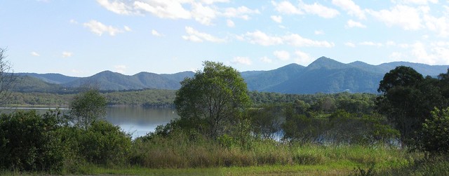
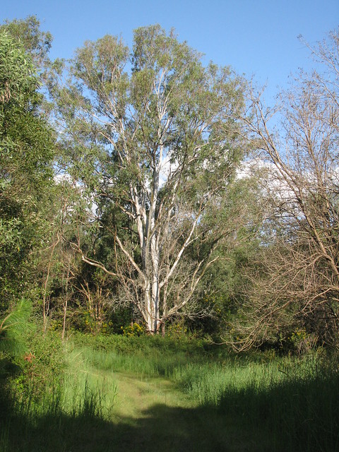
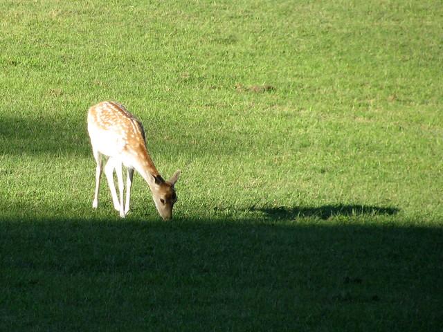
Ocean View

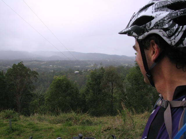
Ocean View is a quiet place high up in the hills near Mount Mee. I thought I’d go for a ride there this afternoon, and try my luck at some steep descents and one horribly steep climb.
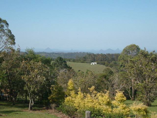
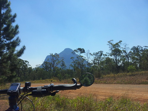
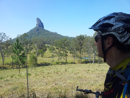
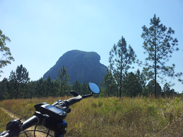
Glasshouse Mountains from Ocean View
Some of the homes around here have amazing views over the forest and farmland towards the coast.
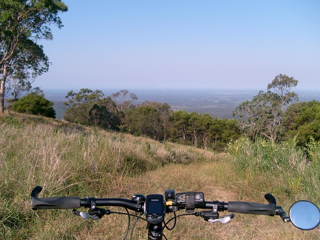
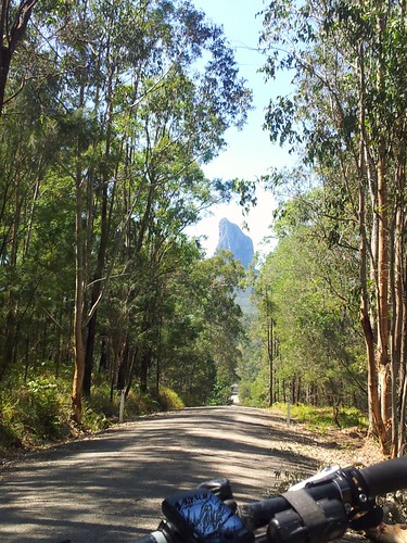
Dean Drive, Ocean View
I followed one of the roads looking for this track that just disappears over the edge of the mountain and heads steeply down to Rocksberg below.
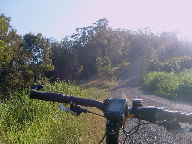
Thornhill Chase, Rocksberg
Thornhill Chase – the steep road down to Rocksberg was an intense ride. I skidded most of the way down this 2km road and had to walk the final bit to make sure I didn’t skid into the gate at the bottom of the hill.
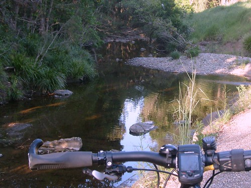
Five Pound Crossing
Rocksberg was originally settled by the Zillman family in the mid to late 19th century. It’s the source of the Caboolture River which crosses the road at places with fascinating names like “Cockies Crossing”, “Ten Bob Crossing”, “Zillmans Crossing” and this one, “Five Pound Crossing”. The old photo is from the State Library of Queensland and shows some of the Zillman family playing in the water at “Five Pound Crossing”. Incidentally, “Ten Bob Crossing” – just a few hundred metres down the road, is still a great place to swim on a hot day.
Ocean View Paddock
Unfortunatley, what goes down must eventually come back up, and I had to start the long climb up Mountain View Road. This gravel road is a challenging climb. I rode all of it except for 150 metres which were in the middle of a bush fire (that was my excuse) and also happened to be a bit too steep even for a hill-o-phile like me. This view at the top is a panorama stitched together from several photos overlooking some pleasant farmland on the edge of the hill.
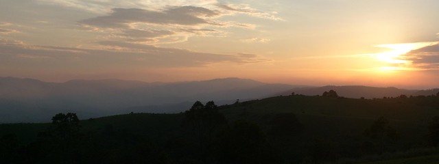
Sunset. Townsend Road, Ocean View
I made it back to Townsend Road just as the sun was going down over the D’Aguilar Ranges. As I saw it, I said out loud “Now THAT’s bloody beautiful”, and then happened to notice an old bloke at his letterbox looking at me. I think he agreed with me, so I didn’t feel too embarrassed.

All up about 24km with 750 metres of vertical climbing and 1,530kcal burned. I’m going to give this one 10 out of 10 on the tough-o-meter. The descent was precarious, I was by myself, and it took all my concentration to stay on the bike. The climb was the toughest I’ve done – 4km with some sections having a gradient well in excess of 30% (according to my Garmin track log). It was pretty hot (over 30C) and smokey from bushfires, so in my judgement this short ride really pushes the envelope.

If you can ride Mountainview Road from the bottom (Moorina Rd Intersection) to top (Oceanview Rd Intersection), please let me know. I live in hope that this monster of a hill can be beaten!

Total distance: 25.35 km
Total climbing: 727 m
Average temperature: NAN
Total time: 02:30:59
Download file: activity_128821645.gpx
More data
Tour de Glasshouse

Glasshouse Panorama

Well it wasn’t a race, like other Tour de somethings, but it was a tour on a bike, and it was spectacular.

The Glasshouse Mountains looked stunning today in the early summer weather. Whatever happened to Spring? This is a really special place. It’s even more special when you think about the Gubbi Gubbi / Kabi legends of the place as you move around it. Basically they’re an ancient family, with a mum (Beerwah) a dad (Tibrogargan), lots of kids (the other mountains), a baby on the way (Beerwah is looking pretty big), and a long dramatic history. I won’t recount it here, but if you ever visit the place, it might be worthwhile reading up on the legends beforehand.

Mount BeerwahMount Beerwah
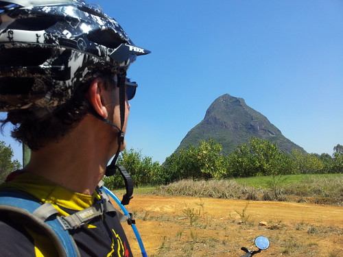
Here’s Mount Beerwah from a couple of different angles. There are some fun downhill tracks near Mount Beerwah. Like many of the dirt tracks in the area they have ruts from the many four wheel drives and motorbikes that use the area, which makes riding it on a mountain bike a bit of a challenge.

CoonowrinCoonowrin
The downhill trails near Mount Coonowrin are really steep too. I was very thankful for good front shock-absorbers. If not for them I’m sure I would have gone over the bars in a couple of places.

Bankfoot House
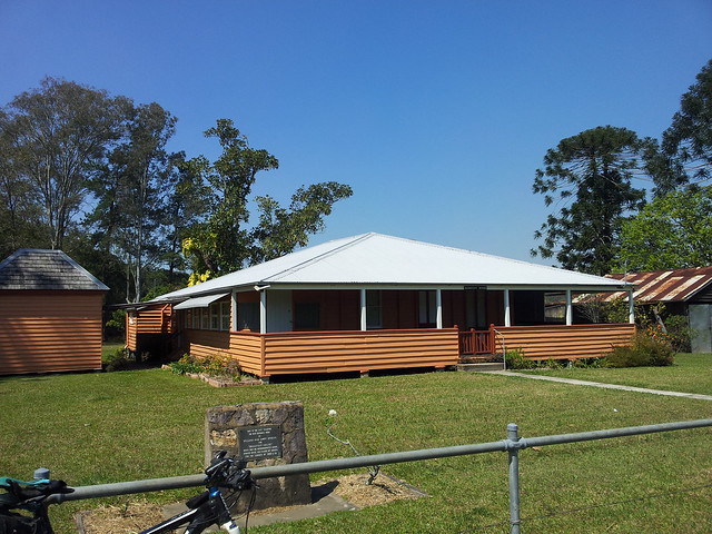
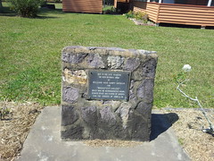
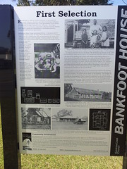
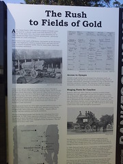
I had to ride along the bitumen for about 4km to get to some more trails, and was delighted to come across Bankfoot House. It was built in the 1860’s, and was used as a stage post for the Cobb and Co service for people travelling to Gympie to “strike it rich” in the gold rush. This road is called “Old Gympie Road” and is part of an old road stretching from Brisbane to Gympie through places like Kedron, Petrie, Kallangur, Caboolture… At some places along the route it’s still called “Gympie Road” or “Old Gympie Road”, but you won’t see many stage coaches on it these days.
Bankfoot HouseBankfoot HouseBankfoot House
More info about Bankfoot House.

Mount Tibrogargan
According to Gubbi Gubbi legend, Father Tibrogargan has many children, with one on the way. He reminds me of the cares, responsibilities, joys and sorrows of fatherhood.

With a hunched back like that, you’d think he had a lot of worries!

All up about 38km and 2,400 kcal in just under 3 hours. This one rates 8 out of 10 on the tough-o-meter because of one or two gnarly climbs, and one particularly knuckle-whitening descent near Mount Coonowrin.

10 out of 10 for views though šŸ™‚

Total distance: 37.4 km
Total climbing: 835 m
Average temperature: NAN
Total time: 03:47:19
Download file: activity_114871424.gpx
More data
Dayboro

I spent a few hours exploring out the back of Dayboro today. It’s a delightful town surrounded by green farms, areas of thick bush, and a backdrop of imposing mountains.

Terrors Creek


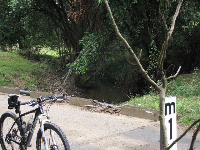
A causeway over Terrors creek, south of Dayboro.

According to local historian, Leith Barter, the creek was named after “Terah” – a grey Arab stallion owned in the 1850’s by Captain John Griffin of the Whiteside Run. In fact the whole area at one time was called “Terrors Creek” but the local postmaster didn’t like the name, saying it sounded too much like “Torrens Creek” so the name changed. The only authentic spelling of the name “Terah” I can find in town is the restaurant “Terah’s” on the main drag. I expect you wouldn’t get far naming a restaurant “Terror’s” would you?

Railway Remnants
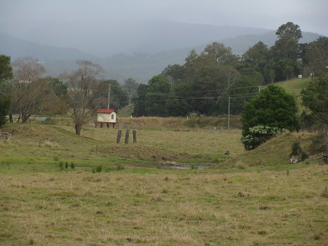
The wooden pylons are remnants of a bridge that was part of the old railway line between Dayboro and Ferny Grove.

I think the funny looking hut with cream paint and a red roof is related to the old railway line but I’m not sure.

You can read more about my exploration of this railway line here.

Lees Crossing
Lees Crossing
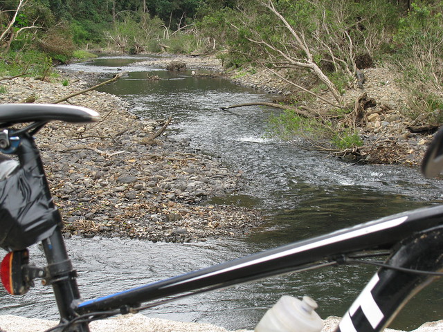
A causeway at Lees Crossing across the North Pine River just out of Dayboro.

Woodward Road, Dayboro
I followed Woodward road to see where it ended up, and discovered some steep hills, friendly people and great views along the way.

This old road actually used to lead from Dayboro to Esk over the D’Aguilar range.

I’m hoping to see if I can retrace it sometime in the next couple of months – at least as far as the top of the range.

Self-repairing tyres
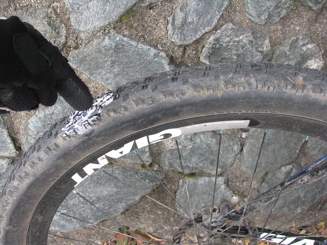
On the way back I ran over some glass which cut my tyre. Tubeless sealant sprayed everywhere, but after about 5 minutes it sealed up of its own accord, and I was able to pump it up and keep riding.

I originally took this pic as a mental note so I knew where to check for damage when I got home (it’s a new tyre), but I thought it was pretty cool to demonstrate the way the tubeless system works.

I think I’ll dab some “Shoe goo” on the scratch from the outside and top up the sealant. Hopefully the tear will stay fixed. Thank goodness for “Stans No-Tubes”!

All up about 39km with about 770m of climbing, and 1900cal. 6 out of 10 for toughness (It was pretty short, and the only steep climbs were on bitumen). I’ll be back to explore this area again!

Total distance: 39.77 km
Total climbing: 825 m
Average temperature: NAN
Total time: 03:15:13
Download file: activity_96404469.gpx
More data
Old Gympie Road

This road was blazed in the 1860’s because of the Gympie Gold Rush. Every man and his dog packed their picks, shovels and tents and headed north from Brisbane to strike it rich. Some accounts even speak of people piling their meagre belongings into a wheelbarrow and walking from Brisbane to Gympie.

Before then, parts of it were actually an old aboriginal trail used by the Turrbal and Kabi / Gubbi-Gubbi people as they walked the area between Brisbane and the Sunshine Coast.

This is part of the same old road that passes through what is now modern-day Strathpine, Lawnton, Petrie and Kallangur. It’s just further north along that same road.

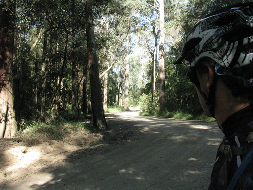
There were no horses on it today, or wheelbarrows, just a few trail bikes, 4wds and one Mountain Bike (me!).


In her book “Reminiscences of Early Queensland“, Constance Campbell Petrie writes how her father, Tom Petrie, helped blaze parts of the road:

When Davis (or ” Duramboi “) was asked to mark a road to Gympie, he sought my father’s assistance for the first part of the way, saying he would know where he was all right when he got to the Glass House Mountains, as he had been there before when living with the blacks.Ā  So Father took him to the other side of Caboolture and put him and party on his (” Tom Petrie’s”) marked tree line to Petrie’s Creek, on the Maroochy River. Then when the line to Gympie was marked, he went with Cobb and Co. to help them pick out stopping places for the changing of horses.Ā  The road was just frightful at that time ; we in these days could not recognize it for the same.

Simply Happy

If you want to be happy, it helps to know what you want.

A few days ago I thought to myself that I’d really like to explore some new trails by Lake Samsonvale, and today I did just that! And now I’m pretty happy šŸ™‚

This time of year in Southeast Queensland is beautiful. The westerly winds clear the skies to a deep blue, and the temperature drops. Perfect weather for exploring this part of the world.
Lakeside Trail
There are some beautiful trails by the shoreline of the lake – and many of them barely see a human once per week.

This is the remnants of Gordon’s Crossing Road looking towards the north west. Today, Gordon’s Crossing Road West stops near the shore of the lake. But 50 years ago it continued pretty much in a north-westerly direction, across the North Pine River to where this photo was taken.

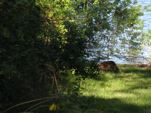
Fox
Today the only company I had on the bike was an elusive fox whom I managed to quickly photograph before she slunk away into the lantana.

Mount Samson
A view of Mount Samson from the shore of Lake Samsonvale at Harrisons Pocket.

Clear Mountain
A view of Clear Mountain from the other side of Lake Samsonvale. Most of the time my experience of Clear Mountain is straining on the pedals trying to get up the steep hills, so it was a pleasant change to see it from this angle.

So – I’m happy because a few days ago I took a few minutes to make a mental note of something I’d like to try. And today I took a couple of hours to give it a go. I honestly don’t want to win the lottery – I’d just like a few more afternoons like this. And unlike the lottery, I think I’m almost certain to get this wish!

Total distance: 28.86 km
Total climbing: 465 m
Average temperature: NAN
Total time: 02:14:54
Download file: activity_85090539.gpx
More data
Rush Creek

I thought I’d explore some quiet roads out the back of Dayboro this afternoon. It was a good excuse to get a few miles on the bike before I go for a huge ride with Simon tomorrow (weather permitting).
Rush Creek and D'Aguilar Ranges
Rush Creek is one of those districts that figured large in the history of the Pine Rivers area. It was logged in the mid 19th century. William Henry Day (after whom Dayboro is named) planted one of the first sugar cane farms in South East Queensland using Kanak labour.

Today, much of what was the Rush Creek district has been flooded by the North Pine Dam…
Old Roads Never Die they just...Old Roads Never Die they just...
Rush Creek Road was closed off in the 1970’s when the North Pine Dam was built, and local farmland was flooded.

It used to be the main road between Petrie and Dayboro, and crossed Rush Creek at Whiteside / Quinns Crossing. That crossing disappeared under the man-made lake 40 years ago, and the road hasn’t been used since.

It’s funny how you can still make out the double white line down the middle, under all the grass which is slowly reclaiming the land.

One of the other unusual roads in the area is Raen Road…
Hoops and Bunyas
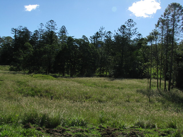
I followed a dirt road over a cattle grid. It eventually turned into a vehicle track, and before I knew it I was in front of an old farm house.

Will, the farmer, was really friendly and explained that the road reserve ran through his property and disappeared in the grass after a few hundred meters. He very kindly let me ride around and take some photos. I really liked these old Hoop (A.Cunninghamii) and Bunya (A. Bidwilli) pines along the banks of the upper reaches Rush Creek.

The final road I explored was Strongs Road. The sign says it’s a “No Through Road” but it actually turns into a muddy vehicle track, and eventually comes out on Mount Samson Road – a much nicer ride than battling 100km/h traffic on Dayboro Road!
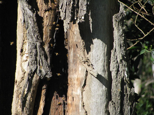
Wild Bees
Wild bees have built a hive in the trunk of an old Eucalypt along Strong Road at Dayboro.

All up, 55km, 2,500kcal (= 6 Big Macs), and 800m of ascent.

A fantastic way to spend a Sunday afternoon!

Total distance: 55.94 km
Total climbing: 854 m
Average temperature: NAN
Total time: 03:59:43
Download file: activity_82624820.gpx
More data

Harrisons Pocket

The afternoon was too pleasant to spend in the office, so I took a walk along the northern shoreline of Lake Samsonvale.

This area was known as “Harrison’s Pocket” before the dam was built. But now the town of Harrison’s Pocket, with its post office and school only exists on old maps.

The landscape has changed completely.
Clear Mountain
The lake is now an important habitat for many different species of water-birds.

Mount Samson
The western part of the lakes covers what used to be known as the town of Samsonvale named after Mount Samson which towers over it to the west.

None of the old town remains except the cemetery on the shore of the lake.

Blue Gum
The land to the north of the lake has some beautiful quiet trails.

Deer

Total distance: 6.72 km
Total climbing: 298 m
Average temperature: NAN
Total time: 01:22:21
Download file: activity_78743833.gpx
More data
Mount Pleasant

I’m still healing from a crash last week, so I have decided to avoid riding on rough trails or single tracks at the moment to let my shoulder heal.

Today I rode to Mount Pleasant in the hills behind Dayboro. This rural area is nestled in a valley created by the North Pine River between Mount Mee and Mount Byron.
North Pine River, Mount Pleasant
What I enjoyed most was having a few hours on the bike on quiet rural roads to daydream and get in “The Zone” while covering a reasonable distance (80km). The hills were mostly gentle, although I managed to ascend a total of 1,048m during the ride.
Bunya Pines, Mount Pleasant
Andrew Petrie reported a stand of Bunya Pines in this area when he visited it in the 1830’s. I’ve got some ideas about where that stand might have been. As you ride along the road, there are some quite mature specimens poking out from behind the hills about 300 metres from the road. These two Bunyas are quite young – perhaps 60 to 70 years old.

Some time in the next year I hope to come back here again and ride through the rainforest up to Toogoolawah in the Brisbane Valley. But the management roads in the rainforest are closed at the moment due to damage from a lot of the heavy rain we’ve had lately.

I’m happy to wait šŸ™‚

Total distance: 80.65 km
Total climbing: 1131 m
Average temperature: NAN
Total time: 04:53:22
Download file: activity_72490402.gpx
More data