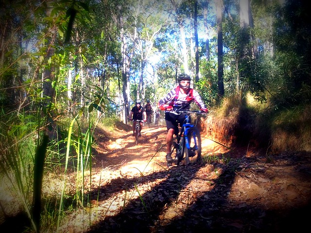
A few weeks ago some friends and I had to cut short our ride through the Border Ranges National Park because of our late start and slow progress.
Today Eric, Darb and I gave it another try.
We arrived at the starting point at about 8:30am after a two and a half hour drive from Brisbane, and immediately started the long climb up into the National Park.
Normally, this ride has some amazing views. Rising over 1,100 meters, some of the lookouts are perched atop shear drops, and let you see forever in every direction. The clouds, mist and rain made that impossible today, but it was still a wonderful experience riding through the lush rainforest.
The rain also made it impossible to take photos. My camera is out of action, so all I had was my mobile phone which doesn’t handle moisture too well. Thankfully, Darb was able to capture the high points of the ride on his Contour video camera. Here’s a link to his video of it.
The challenging thing about this route is that apart from three fast descents, we were climbing for almost 35km, which took us about three and a half hours. All the while, it was raining, and the temperature was hovering around 11C. So it was hard work.
Eric and Darb are strong hill climbers. I found it impossible to keep up with them on the long ascents, and was thankful they stopped several times to help me catch up.
The fast descents were exhillarating though. Shooting down a dirt track at about 40 km/h with fogged up mud-covered glasses, and chill breezes cutting through rain-soaked clothes really makes you feel alive – and cold 🙂 I was glad I added a couple of Snickers Bars to my normal stash of food – they helped to warm me up again.
The final descent out of the National Park is awesome. We dropped 1,000 metres of altitude in just over 10km. That’s the longest descent I’ve ever done.
Normally on a run like this my brakes would overheat, and I’d end up losing them. This time my local bike shop had installed an 8″ brake rotor on the front, and a 7″ rotor on the back. They handled the descent with ease. My brakes didn’t fade at all. Thank you, Sam from Strathpine Bicycle Centre!
Once we left the park, we took a detour through some private property. I had been in touch with a local land owner who said he didn’t mind us riding down through his property to Horseshoe Creek. This was another fun descent down a steep boggy 4wd track with a couple of dozen water bars.

(Picture – Dean Dwyer)
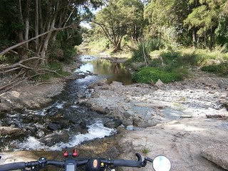
At the bottom of the boggy track, with the bikes covered in mud, we had to cross a flooded Horseshoe Creek. Eric just lifted his bike above his head and waded across in the knee-deep water. I pussy-footed around trying to hop across the rocks and keep my feet dry. In the end, Eric took pity on me, waded back into the water and grabbed my bike, while I finished crossing the creek. My efforts were to no avail – my feet were soaked despite wearing plastic feezer bags over my socks.
The creek was a good spot to wash the mud off the bikes and start the second half of the trip through the much flatter farmland in the valley below the ranges.

(© State of New South Wales through the Department of Education and Training)
In order to fit the ride into one day, we decided to leave out riding into the small town of Kyogle. This saved us about 45 minutes, but it also meant that there wasn’t any place we could stock up on water if we needed it. In the preceding week I got in touch with the teacher at Collins Creek Public School who kindly agreed to let us pop into the school grounds and fill up on water if we needed it. It was a beautiful little school surrounded by farmland, and it in just the right spot for us.
For me, the toughest part of the ride was the final two kilometers. With the end of the day seamingly in sight, and 80 tough kilometers on our legs, the road became suddenly steeper, and we had to grind our way up the hill back to the car.
We did a total of 2,000m of vertical ascent on this ride. It took us seven and a half hours to ride 81.5 km (including an hour in breaks). I burned about 8,000 kcal.
Doing this ride in cold wet weather and having to drive two and a half hours each way to get there definitely rates this one 10 out of 10 on the tough-o-meter.
Total climbing: 1999 m
Average temperature:
Total time: 07:33:35
More data


