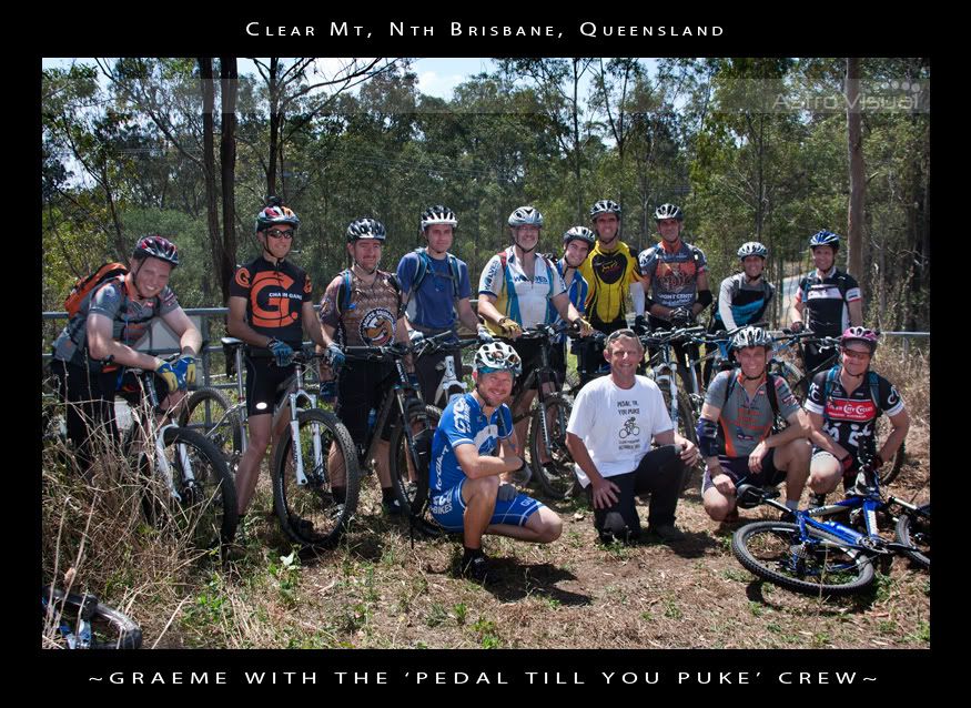
Pedal Til You Puke

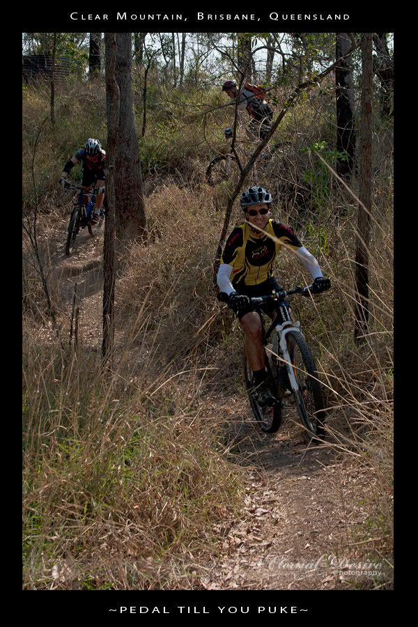
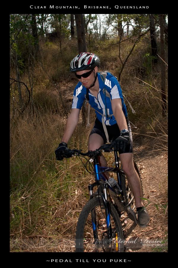
About 15 of us got together yesterday to ride some steep hills at Clear Mountain. The idea was to have fun, see who could ride up (and down) the most hills without getting off the bike, and to raise money for a friend of ours.

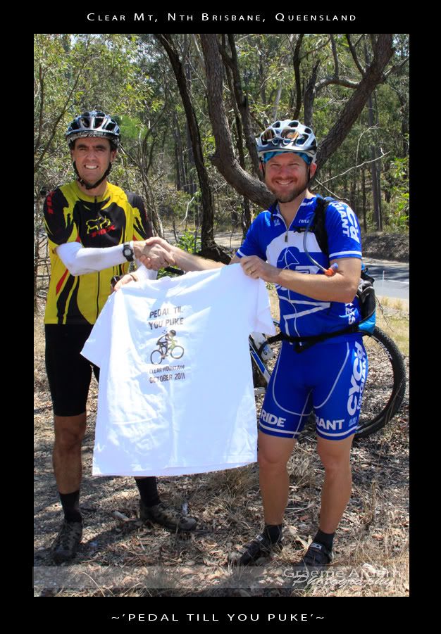
Graeme Ardern is fighting Hodgkin’s Disease. He needs some money in the next few weeks for neurosurgery that isn’t covered by his health fund or Medicare, so thought we’d all chip in a bit of cash to help out, and have a whale of at time in the process.

Here’s a link to their fundraising site if you’d like to help.

Thanks to Chantelle, Steve and Graeme for some great photos.
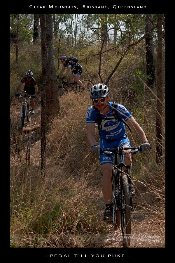

The course started out along some narrow trails winding thorugh the forest, across some steep creek crossings, then up onto the main fire trails. I’ve done this loop dozens of times before – I ride it at least once per week, but these guys rode it really quickly, and after 5 minutes I really started to feel puffed out.


We agreed to stop at the top of each hill to let everyone catch up. Towards the end, I was the one crawling to the top puffing and panting.


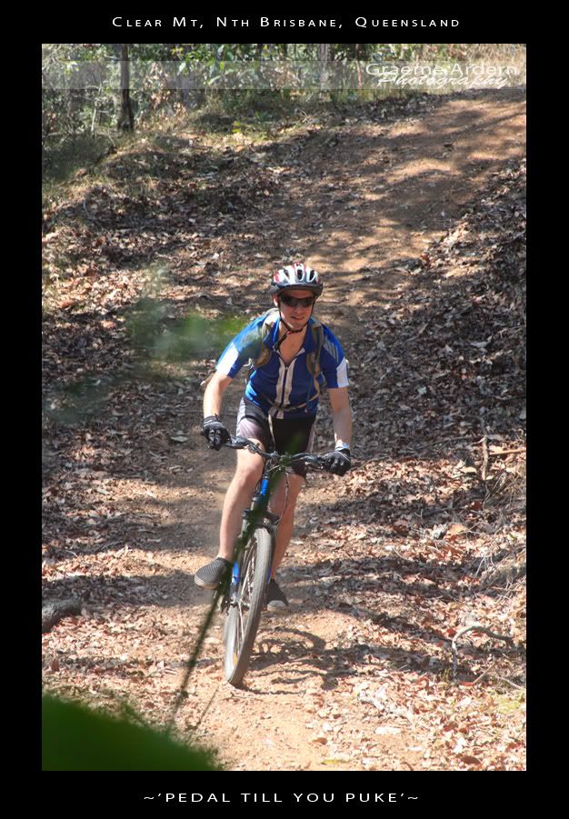
I was impressed with the skill of some of these riders. I was riding behind Mat (from For the Riders) and was amazed at how high he got into the air over some of the jumps, and how quickly some of these riders could get up the hills.
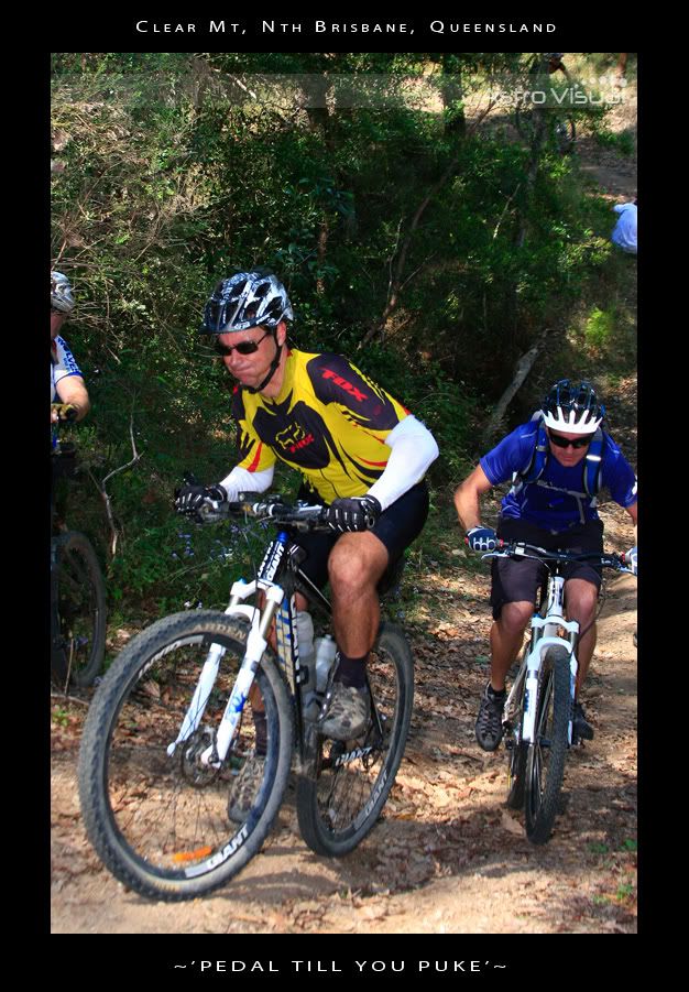
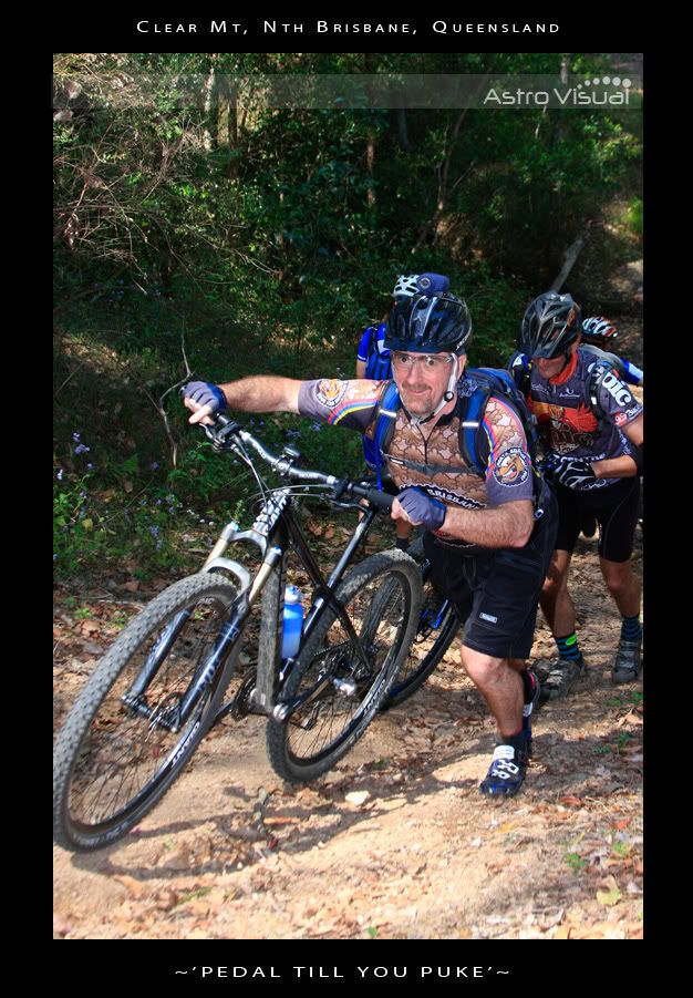
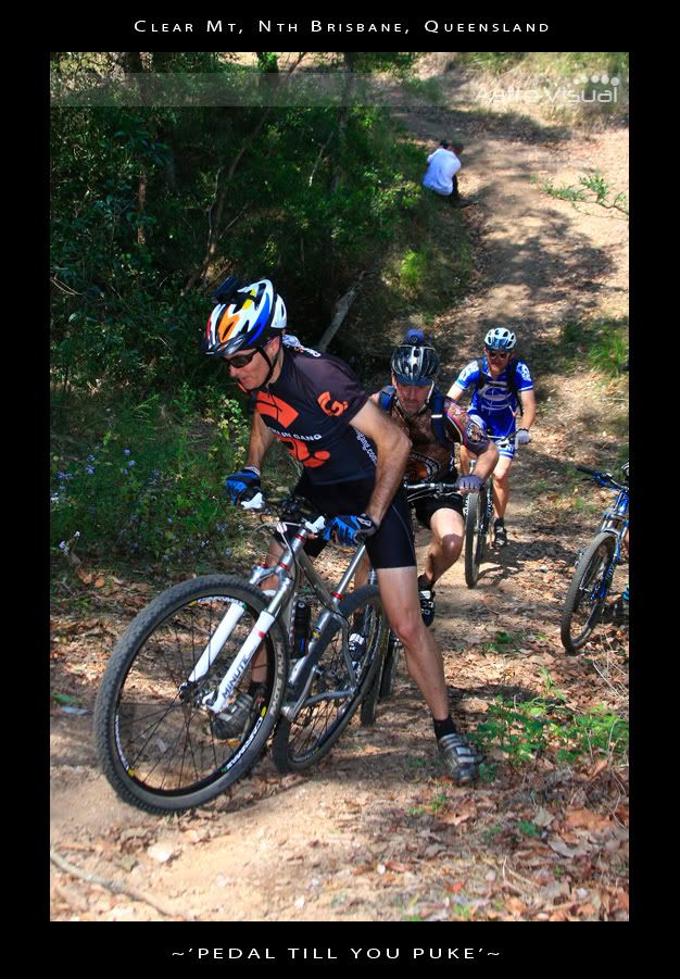
The last couple of hills were stupidly steep. Some of the guys put in a huge effort to make it part way up the hill. It was nearly impossible to even walk up the slope…

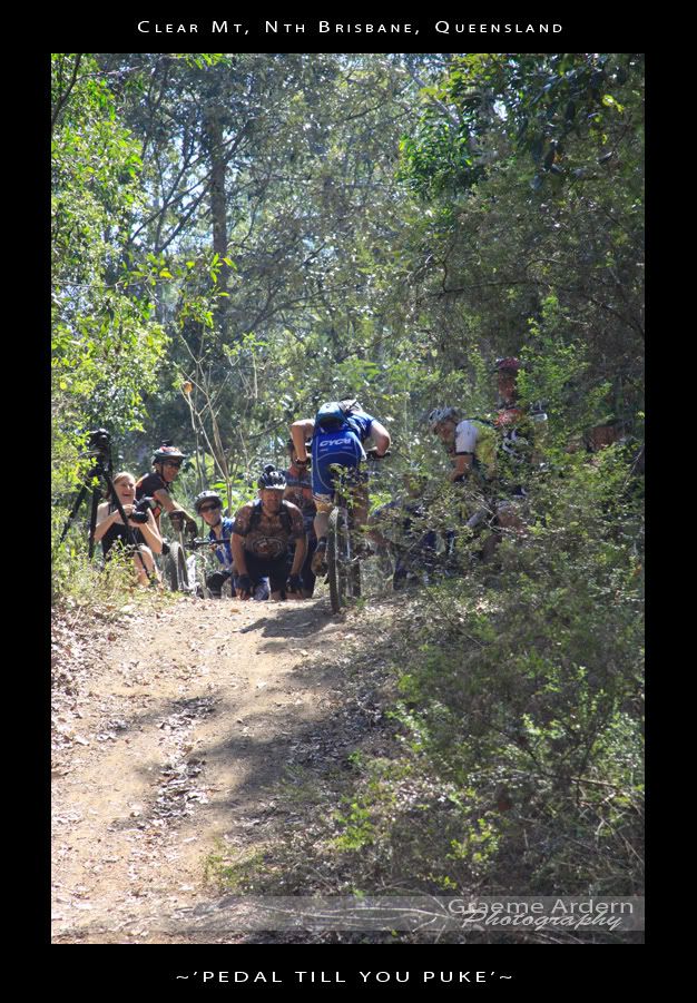
…so I just watched in awe as Graham “Wingadelic” Menizes smashed the last hill – riding straight up it, while singing at the same time. It was a sight to behold.

If you’re interested, Leanne has done a video of the event, including the last huge climb at the end:

I rode with a few friends afterwards to “warm” down, so the total distance for us was 20km (the course was 11km) with total vertical ascent of about 700m, and 1,400kcal. Considering most of that effort was in the first 11km, I’m giving this one 10 out of 10 on the tough-o-meter. I didn’t puke, but I came pretty close.

Total distance: 20.78 km
Total climbing: 752 m
Average temperature: NAN
Total time: 03:15:05
Download file: activity_118195835.gpx
More data
Scrub Road

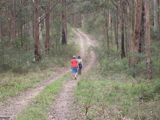
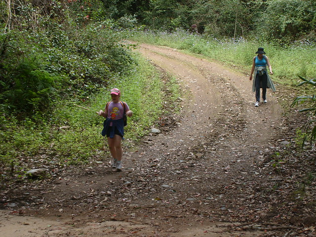
Liz asked me what I wanted for a Father’s Day present, and I said “A bush walk”. So today we hiked along Scrub Road. Basically it’s a big “vee” shaped road – steep down for 2km, then steep up the other side to the South Boundary Road Camp. Then turn around and repeat in the other direction.

Scrub Road
Bottom of the Hill
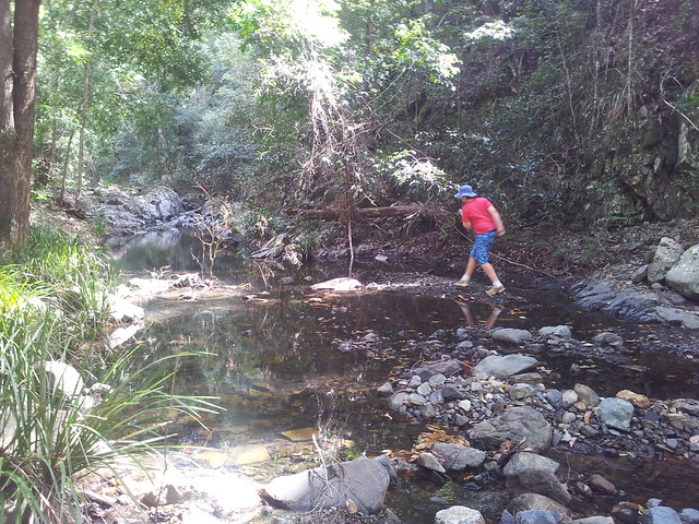
Rock Hopping
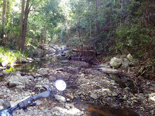
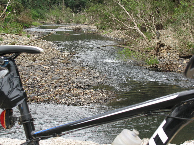
At the bottom we had a great time hopping around the rocks in the creek looking for animals.

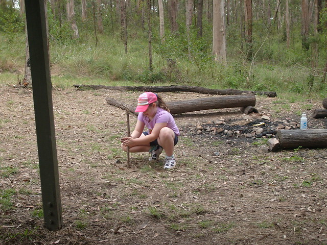
Rubbing Sticks
We stopped at the water tank / shelter on South Boundary Road for a bite to eat. Lilly thought she’d continue the camping theme by rubbing two sticks together. Thankfully no fire ensued.

About 8km in about 2 hours. A lovely walk with the family. Thanks for the wonderful present everyone šŸ™‚

Total distance: 9.34 km
Total climbing: 476 m
Average temperature: NAN
Total time: 02:35:05
Download file: activity_111650035.gpx
More data

Two Lakes

We’re lucky to live near two artificial lakes: Lake Kurwongbah which was created when Sideling Creek was dammed in 1955, and Lake Samsonvale which was created when the North Pine River was dammed in 1968.

I love riding the bike by these large bodies of water.

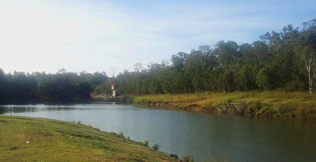
Pump House - North Pine River
The Pump House was built in 1955 as part of the construction of the Lake Kurwongbah Dam. It pumps water uphill into Lake Kurwongbah from the North Pine River to keep the Dam topped up.

Lake Kurwongbah was oriiginally built to supply water to the Australian Paper Manufacturers (APM) Petrie Mill – now known as the Amcor Cartonboard Petrie Mill.

Today if you walk along the Dam Wall at Kurwongbah you’ll often see a mass of air bubbling up to the lake surface. This is because the Pump House is operating, transferring water into Lake Kurwongbah. (It’s also a good reason not to swim in the river near the Pump House!)

[Source: “Pioneering the Pine”, Leith Barter. 2005]

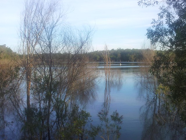
Pelican - Lake Samsonvale

If you look carefully you can see a pelican drifting on Lake Samsonvale. I watched this one gliding in like a strangely shaped flying boat from years gone by.

Sunset - Lke Samsonvale

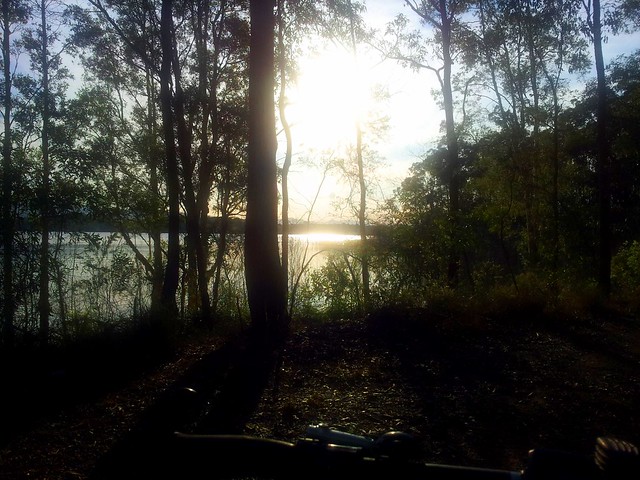
It doesn’t get much better than this! There are a lot worse things you could do than wander along the shoreline of Lake Samsonvale šŸ™‚

Total distance: 23.66 km
Total climbing: 305 m
Average temperature: NAN
Total time: 01:34:12
Download file: activity_110239829.gpx
More data
Slaying Hills

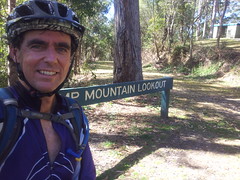
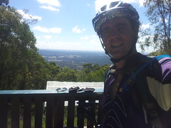
The ride today started out as an experiment to see how long it took to ride from home to Ferny Grove via Bunyaville. (An hour as it turns out). But after that it turned into a hillfest. I decided to pit myself against the short-steep climb up Camp Mountain. In the past I was intimidated by it, but today I gave it my all, and surprised myself by conquering the hill.

Camp MountainCamp Mountain

I was yelling at myself towards the end (I must have sounded crazy) “Get Up!” “Come on!” “Go!”. And it seemed to work. I gave it everything I had, and nailed that monster of a hill for the first time. It feels fantastic to slay a big hill – doing something that you thought you might not have been able to do.

From there I headed up the mountain towards Scrub Road….
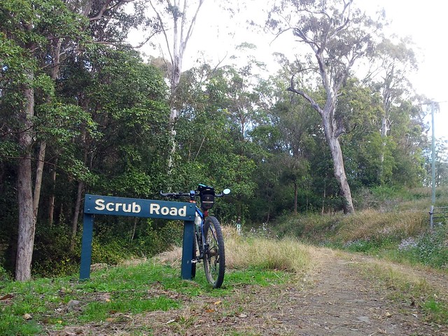
Scrub Road
Scrub Road

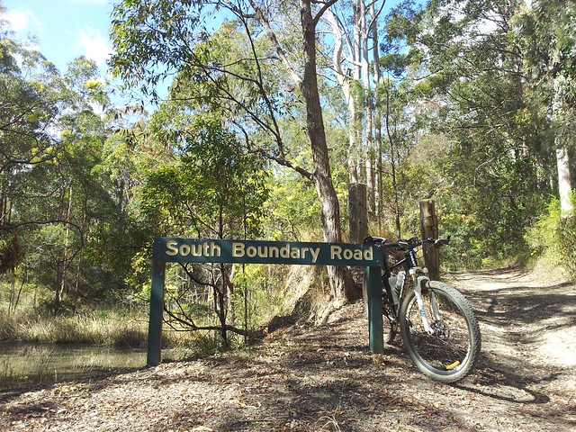
Scrub Road is an easy way to get from the bitumen on Mount Nebo Road, into the Forest. It’s a fairly steep descent down to the pretty creek, and then a long slow climb up to the shelter and water tank on South Boundary Road.

South Boundary Road

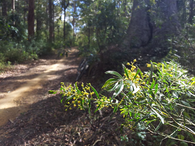
The wattle blossoms on South Boundary Road look beautiful, and smell fantastic.

South Boundary Road
South Boundary Road

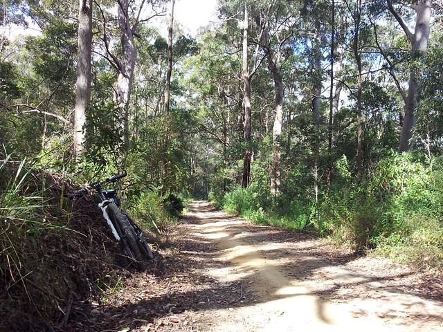
South Boundary Road runs from Mount Nebo down almost to The Gap.

It has some fun smooth descents, beautiful forests and raucous birds.

I always love riding this trail.

All up, 80km, 4,700kcal, and about 1,600m of ascent. On the tough-o-metre, this one gets 9 out of 10 because of the distance, and the climb up Camp Mountain.

Total distance: 80.12 km
Total climbing: 1666 m
Average temperature: NAN
Total time: 06:35:13
Download file: activity_106036453.gpx
More data
Dams and Rivers

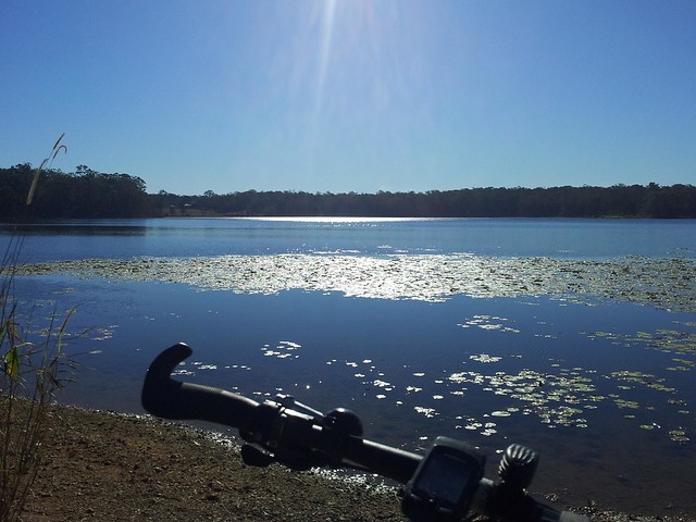
There are two dams near here: Lake Samsonvale, built on the North Pine River; and Lake Kurwongbah built on Sideling Creek.

In the past I lamented the local history that was lost under the water of the dams, but in today’s late winter weather, I delighted in the beauty of the lakes.
Lake Kurwongbah
“Kurwongbah” was the name the Turrbal people gave to Sideling Creek. It was dammed in the 1970’s to provide water for the local paper plant. The authorities named the resultant lake “Kurwongbah” as well.

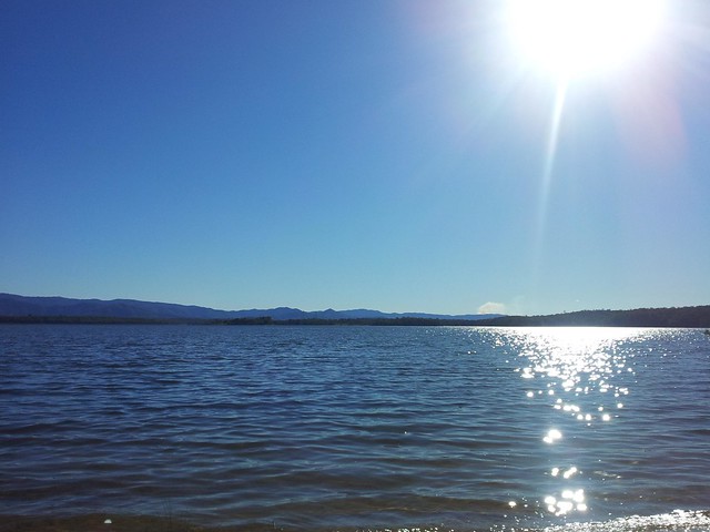
Lake Samsonvale
Lake Samsonvale, looking west towards Mount Samson and the D’Aguilar Ranges.

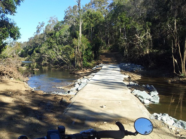
Causeway - North Pine River
This pedestrian river crossing was washed away by the January Floods, and has only recently been repaired. It’s a pleasant way to get across the river from the Pine Rivers Pony Club up to Camp Warrawee. To whoever fixed it, thank you!

I’m so grateful to live in such a beautiful place.

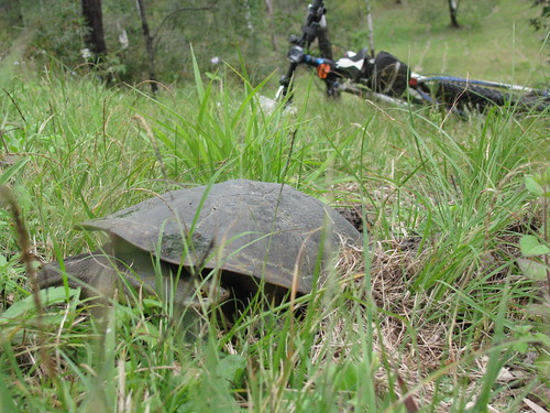
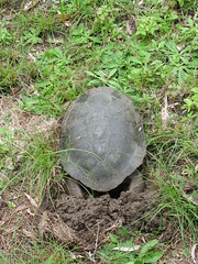
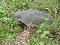
Freshwater Turtle

Freshwater Turtle
Freshwater TurtleFreshwater Turtle

While riding by Lake Samsonvale today I was delighted to come across this female Freshwater Turtle digging a hole to lay eggs.

The burrow was about 30 to 40m above the shoreline, so she’d come a long way to dig the hole.

She was about 30cm in size, and had dug a 30cm hole for her eggs.

As I approached, she just froze and looked at me as if to say "Can’t a girl have some privacy?"

So I took a few photos and moved on, feeling very privileged.

Today was just a short ride as Liz and I are going to spend a few hours at GOMA this afternoon šŸ™‚

Total distance: 26.1 km
Total climbing: 530 m
Average temperature: NAN
Total time: 02:13:22
Download file: activity_99405477.gpx
More data
Dayboro

I spent a few hours exploring out the back of Dayboro today. It’s a delightful town surrounded by green farms, areas of thick bush, and a backdrop of imposing mountains.

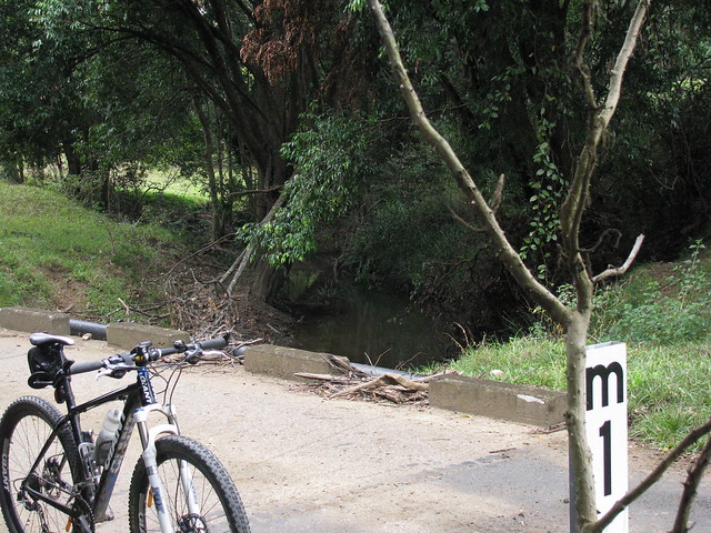
Terrors Creek


A causeway over Terrors creek, south of Dayboro.

According to local historian, Leith Barter, the creek was named after “Terah” – a grey Arab stallion owned in the 1850’s by Captain John Griffin of the Whiteside Run. In fact the whole area at one time was called “Terrors Creek” but the local postmaster didn’t like the name, saying it sounded too much like “Torrens Creek” so the name changed. The only authentic spelling of the name “Terah” I can find in town is the restaurant “Terah’s” on the main drag. I expect you wouldn’t get far naming a restaurant “Terror’s” would you?

Railway Remnants
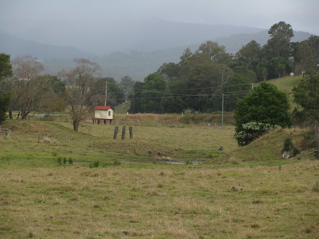
The wooden pylons are remnants of a bridge that was part of the old railway line between Dayboro and Ferny Grove.

I think the funny looking hut with cream paint and a red roof is related to the old railway line but I’m not sure.

You can read more about my exploration of this railway line here.

Lees Crossing
Lees Crossing
A causeway at Lees Crossing across the North Pine River just out of Dayboro.

Woodward Road, Dayboro
I followed Woodward road to see where it ended up, and discovered some steep hills, friendly people and great views along the way.

This old road actually used to lead from Dayboro to Esk over the D’Aguilar range.

I’m hoping to see if I can retrace it sometime in the next couple of months – at least as far as the top of the range.

Self-repairing tyres
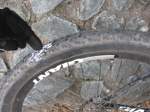
On the way back I ran over some glass which cut my tyre. Tubeless sealant sprayed everywhere, but after about 5 minutes it sealed up of its own accord, and I was able to pump it up and keep riding.

I originally took this pic as a mental note so I knew where to check for damage when I got home (it’s a new tyre), but I thought it was pretty cool to demonstrate the way the tubeless system works.

I think I’ll dab some “Shoe goo” on the scratch from the outside and top up the sealant. Hopefully the tear will stay fixed. Thank goodness for “Stans No-Tubes”!

All up about 39km with about 770m of climbing, and 1900cal. 6 out of 10 for toughness (It was pretty short, and the only steep climbs were on bitumen). I’ll be back to explore this area again!

Total distance: 39.77 km
Total climbing: 825 m
Average temperature: NAN
Total time: 03:15:13
Download file: activity_96404469.gpx
More data

D’Aguilar National Park

D’Aguilar National Park is spectacular – even on a bleak. cool, cloudy day like it was today.

I rode up “The Goat Track” headed for Mount Glorious, then set off down Joyners Ridge Road.
Joyners Ridge Road
The cool rainforest at the top of Joyners Ridge Road at Mount Glorious is a delight to roll through on the bike.

All up it’s about a 10km descent to the South Branch of England Creek at the bottom. Enjoy the descent, because once you get to the bottom of the hills, you have to go up!

Goodes Road
Goodes Road is a steep fire trail that climbs 550m in 5km from England Creek back up to Mount Glorious.

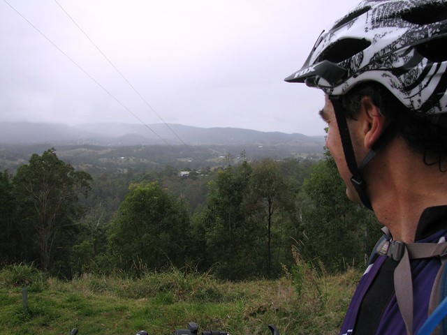
I must confess I took this photo, not because I was impressed with the view, but because I needed a rest.

That climb is hard work!

In hindsight, the view is pretty good too šŸ™‚
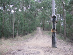
Tree Swallows SignTree Swallows Sign (Close up)
At the top of Goodes Road there’s a strange looking spotted gum that has a couple of signs on it.

The strange thing is that it looks like it has grown over one of the signs so all that’s left is a square “lump” in the trees “throat”.

Dare we hope that the trees are taking over?
Dundas Road
Once I managed to climb back up to the top of the hill, Dundas Road provided a really pleasant ride along the ridge top back to Mount Glorious.

This is a fun ride after the hard work of the climb – quick easy trails that wind through the rainforest, with Bellbirds tinkling in the background.

All up this ride was just over 35km, with 1240m of ascent and almost 3,000 kcal. It was hard work, but a lot of fun!

Total distance: 35.03 km
Total climbing: 1271 m
Average temperature: NAN
Total time: 03:41:51
Download file: activity_91502291.gpx
More data