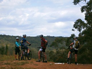
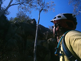
Eric left the best till the last day on our overnight group ride at Yarraman. Five of us traced out a huge 80km loop along some old coach routes before rolling back into town along the remnants of the former railway line.

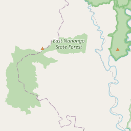
The first part of our trip took us through Gibson State Forest north towards Nanango along Din Din Road. At several places we had to open barbed wire gates to continue. A barbed wire gate (or “dog gate”) is a simple gate where the wire is wrapped around a removable post which is then latched on to a fence post by a loop of wire. They’re easy to make, much less expensive than a fancy gate, and easy to open and close (if you know what you’re doing). We decided Eric knew more than the rest of us, so we let him handle the gates


The track eventually merged with the old coach route along “Old Yarraman Road”. It’s a gazetted road, and was one way the horse-drawn coach would travel between Yarraman and Nanango. After riding it, I don’t know how they managed it. But it is a lot of fun to bounce along it on a bike.

Mountain Bikes normally have suspension on the front to soften the ride. Howard’s bike didn’t have any suspension. The advantage is that the simpler setup makes the bike lighter and easier to ride. The downside is that you have to work harder to stay on the bike on bumpy sections of track. The only suspension Howard had on this section was his knees and elbows.
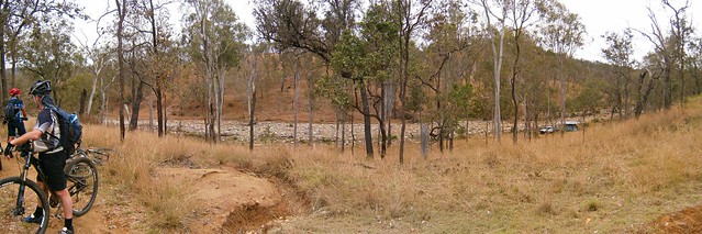


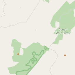
Once we reached Nanango we turned south towards the Seven Mile Diggings along another coach route: Old Esk Road. Alluvial gold was discovered here in 1867. That’s one of the main reasons the coach road passes this way.

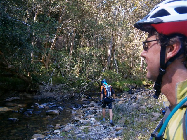
Eventually Old Esk Road crosses Cooyar Creek and becomes “Old Coach Road”. The water was pretty deep. I don’t like getting my shoes wet. So unlike my tougher riding buddies, I took my shoes and socks off before wading across the creek.


Old Coach Road is a rough steep track. It’s hard work to ride up. In several places all of us had to get off and push. We were pretty tired by the time we reached the top, so we took the opportunity to have a rest and a snack.

Staines Road is a great little track than leads south from Taromeo towards the forestry town of Benarkin. One feature of the track is this impressive cordurouy bridge made of logs – a simple way to get across a boggy creek.


Eventually we rolled into Blackbutt along the rail trail and stopped for lunch at a local cafe. I couldn’t resist capturing the sign above Erics head. Can you read it?


The last section of the ride was an easy but pretty ride northwards along the old rail trail. The railway tracks are long-gone, but there are plenty of hints of this trails former life.


The old bridges are missing from the railway line in a few places. I think this makes the ride more interesting. Some of the creek crossings are gorgeous.

Eric found an old train brake pad. I think he found it amusing to compare it with the brake pads on his bike. The old metal pads would rub directly agains the train wheels to slow it down. This kept the wheels clean, but it made an awful lot of noise and heat.


Several creek crossings later, and we eventually rolled back into Yarraman after about seven and a half hours including breaks and a long lunch.


Five of us started this ride. A couple of riders left us early in Blackbutt, so only three of us finished it.
82km in 7.5 hours, 1,300m of ascent, and 3,800 kcal. This one rates 8.5 out of 10 on the tough-o-meter.
Thanks Eric for a spectacular ride!




Total climbing: 1416 m
Average temperature: NAN
Total time: 07:24:33
More data


