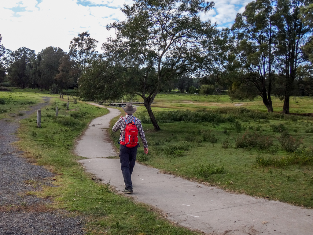
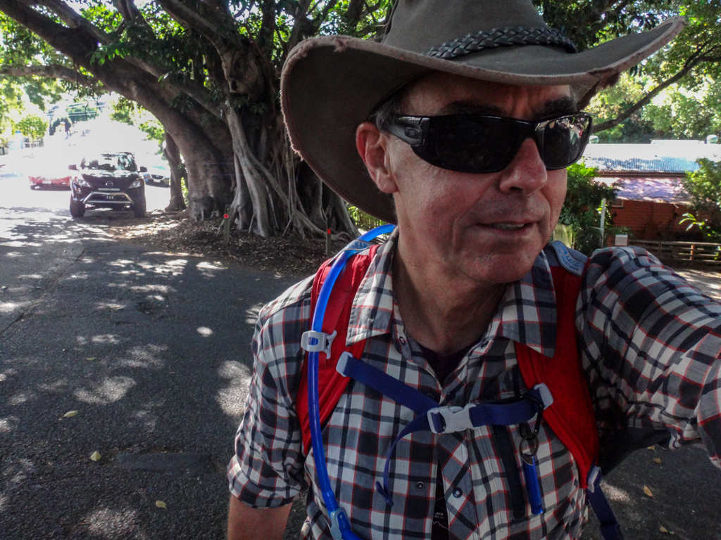
Sometimes the voices in my head suggest that I try something different. Most of the time I ignore them, but today I did not. And so I went for a long walk.
“Winter” in this part of the world is ridiculously pleasant. The sun shines almost every day, but doesn’t burn too much. Not too hot, not too cold – very much like Goldilocks’ porridge.
Even so, I did don a pair of long-fingered gloves for the first hour to keep my fingers warm.
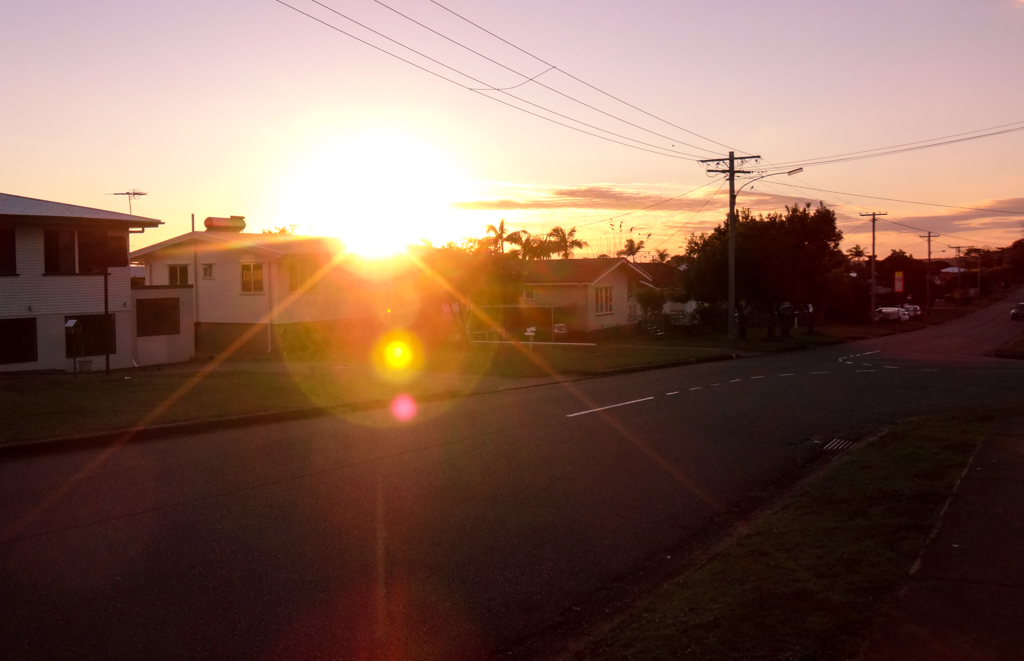
I ambled southwards, away from home as the gentle sun slipped quietly above the horizon.
How far could I comfortably walk in a day?
I have a good idea of how far I can get on a bike – and this makes it easy for me to plan multi-day adventures. I didn’t have the same information about going somewhere on foot, and I wanted to know.
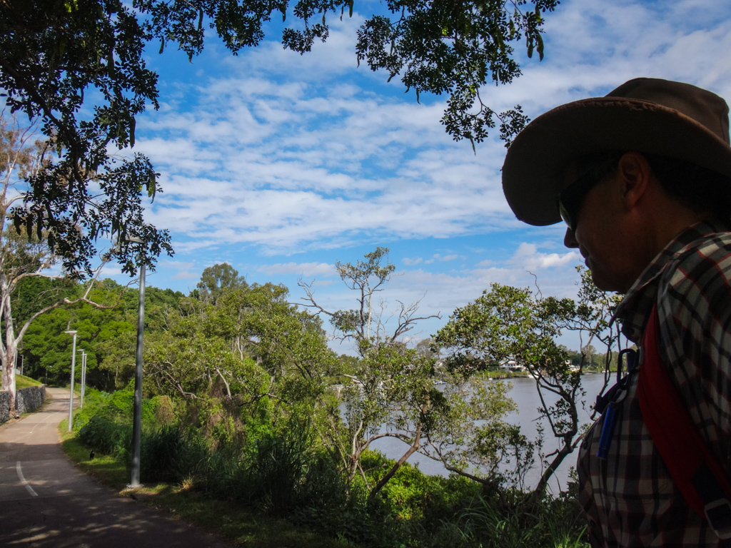
After about an hour of moderate marching, I crossed the South Pine River at Leitchs Crossing.
This pretty little river has its source on the slopes of the D’Aguilar Range near Mount Glorious, meandering for over forty kilometres before it joins the North Pine River at Bald Hills and empties into Moreton Bay.
When I planned today’s course, I tried to keep it as straight as possible, aiming to cover the greatest possible distance within the available time.
My “straight line” course took me south from Leitchs Crossing, and through Albany Creek.
I took a slight deviation for a couple of hundred metres so I could walk through some bushland at Dawn Road Reserve.
It’s nice to know that even in the suburbs there are still reasonably large parcels of bushland that we can enjoy.
I wondered what stories this old scarred tree stump could tell if it had a voice.
I eventually emerged on Old Northern Road and remembered its long history.
These days, it’s a busy road.
Once it was a pathway used by Indigenous people journeying between Meanjin on the banks of the river, and the bunya-covered mountains to the north.
After European settlement it became a stock route between the penal colony and Durrundur Station on the banks of the Stanley River.
And today a strange old whitefella was following it southwards towards the city.
Some days I wish I had a time machine.
I’ve driven on this overpass hundreds of times, but never realized it concealed such interesting artwork underneath.
You get a different perspective on the world when you see it on foot.
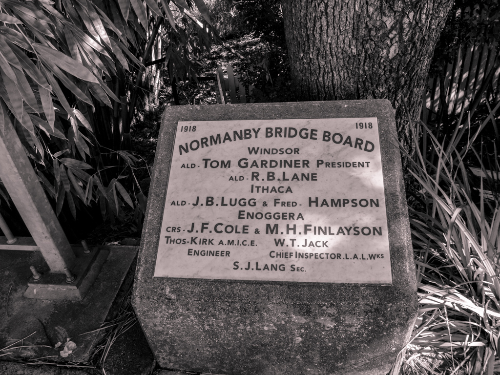
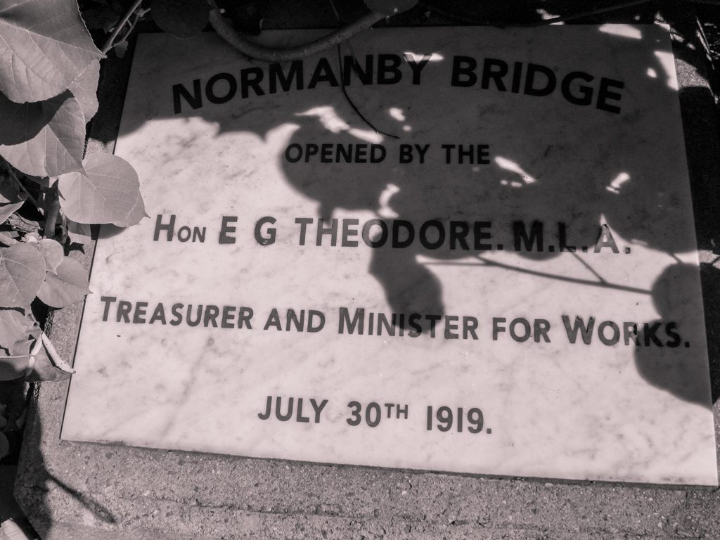
On Enoggera Road I spied another historical reminder at the Normanby Bridge on Enoggera Creek.

Edward “Red Ted” Theodore was Premier of Queensland in the 1920’s, before moving to Federal Parliament and serving as Treasurer in the Scullin Labor government at the start of the Great Depression.
I wondered what this place might have looked like when he first opened this bridge?
Rather than go into the city via Kelvin Grove, I maintained the straight line and went “over” Red Hill via Windsor Road.
It’s quite hilly, but there are some great views into the city from the top.
At the bottom of the hill I passed some beautiful old Moreton Bay Figs in Paddington.
Not far from there, I climbed the stairs up to the plaza in front of Lang Park.
I used to come here as a kid to watch football matches.
I hit the twenty-five kilometre mark at the Brisbane River.
I had been walking for about five hours, and my feet started to hurt.
This was handy to know for future reference. Anything up to about twenty kilometres (on even terrain) should be reasonably easy.
I trudged through South Brisbane and Highgate Hill, eventually meeting the river again at Dutton Park near the Eleanor Schonell Bridge.
The path down to the rivers edge was steep. Unlike riding a bicycle, it was painful to go downhill on tired legs. I winced as I hobbled down to the bike path.
It was much easier to walk on the flat ground along Brisbane Corso at Yeronga.
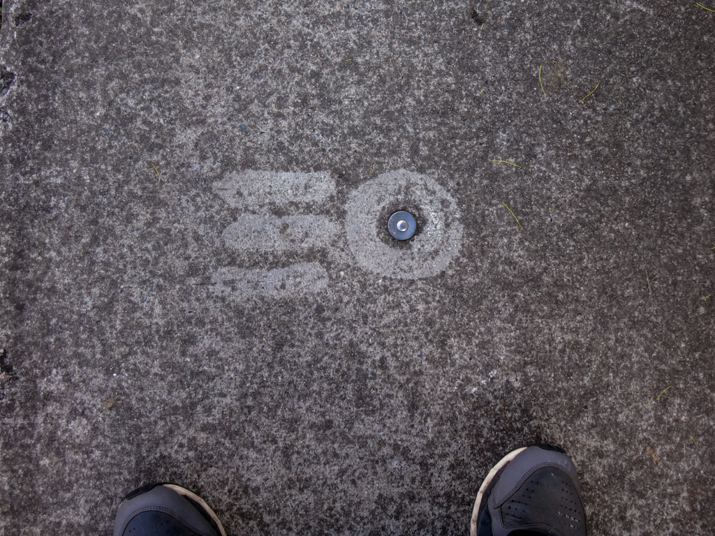
A funny bit of graffiti caught my eye. Someone had made this survey marker look like the Starship Enterprise. Lame jokes passed through my head about “boldly going on a walk”.
There are lots of wide open spaces in Yeronga. It’s a pretty place.
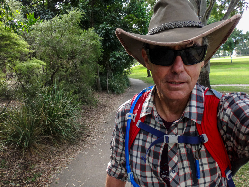
Despite my sore feet, I grinned at everyone I passed. I was enjoying myself.
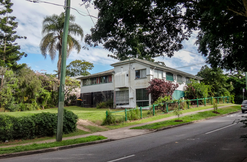
I passed an old house on Kadumba Street that used to belong to some family friends.
When I was a child my family would often visit friends who lived here. I remember many long evenings here, listening to well-oiled happy grown-ups singing Scottish folk songs.
As an eight year old, I once sat in that back yard under a starry sky and talked with my dad’s cousin, Paul, about DNA molecules, light years, and galaxies.
Happy memories 🙂
As I continued down Fairfield Road, a happy looking African man with a white skullcap and a long staff passed me.
I grinned at him – he reminded me of a dark-skinned Moses on his way to part the ocean somewhere.
I took a punt and blurted out “As-salamu alaykum!” (peace be upon you).
Moses smiled back and high-fived me.
I didn’t take his photo – some things are better left as a memory.
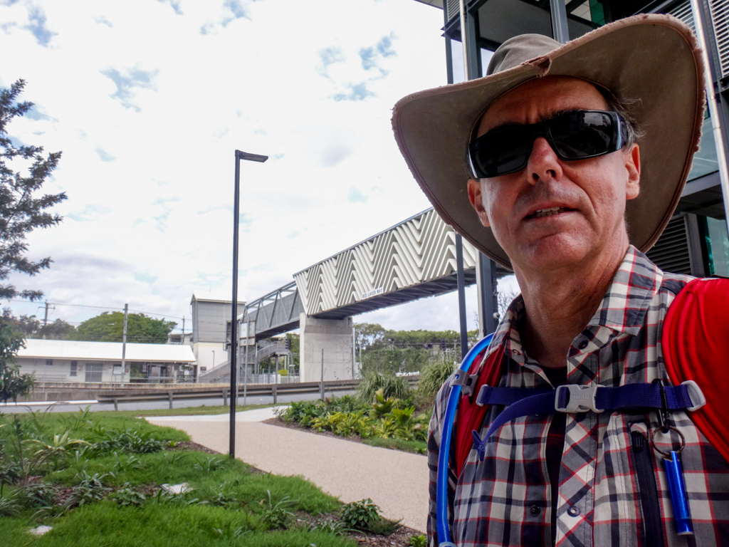
Shortly after, I crossed the road via the Rod Laver foot bridge. Much easier than dodging cars, but I did have to use the railings to hoist myself up the stairs.
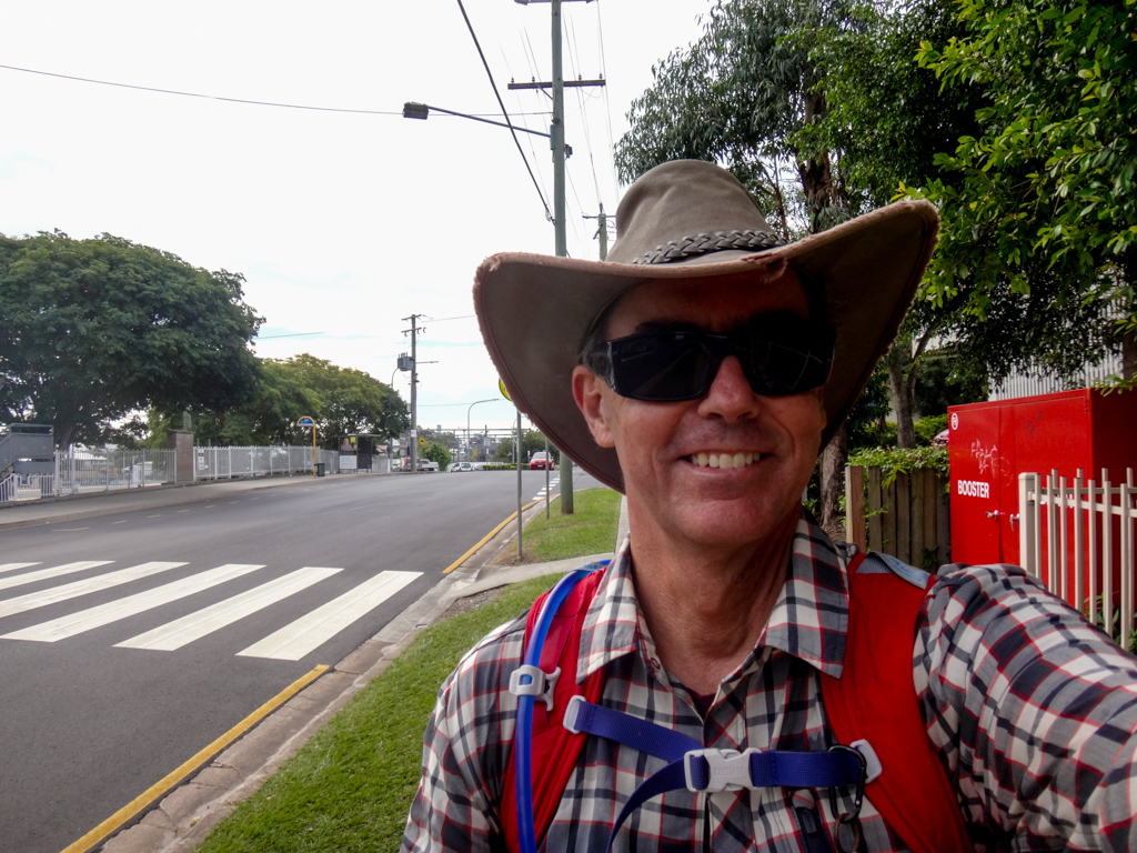
A hundred metres ahead of me, a saw my son Jonathan walking towards me.
I’d done it.
Footsore, but happy to have completed this strange adventure.
Jonathan paid for the first round of drinks, while I sat down and sighed contentedly.
Total climbing: 4107 m
Average temperature: 21.9
Total time: 07:09:07
More Info
I walked thirty-two kilometres in about seven hours.
During that time I climbed about 1,000 metres in vertical elevation and burned about 3,000 kcal.
The first twenty kilometres were easy.
The next five were uncomfortable.
The last seven were painful.
When planning future walks, I’ll either try to toughen up my feet, or adjust the distance accordingly.
Although it’s difficult to compare to a bike ride, I’d probably rate this walk about 8 out of 10 on the tough-o-meter.
Thanks for the beers, Jonno 🙂










I really like the concept of the urban hike. One day I might try it for myself 😉
G’day Martin
Thanks for reading my story.
What are you waiting for? 😉
Neil
Happened across you again Neil looking for places to walk the dogs!
Glad to help, Neil
Gee my feet were sore that day.
Hopefully your dogs were less demanding 🙂