

My friend Andrew asked me to show him some good off-road ways between Brisbane’s north-side and the Sunshine Coast. What a great excuse for a ride!

We started at Caboolture. Originally I had hoped we would ride to Mooloolah Valley Railway Station, then catch the train home. But the trains weren’t running today, so I parked my van at the end point on the previous day, and rode back with my friend Justin.
So today was a point-to-point ride.
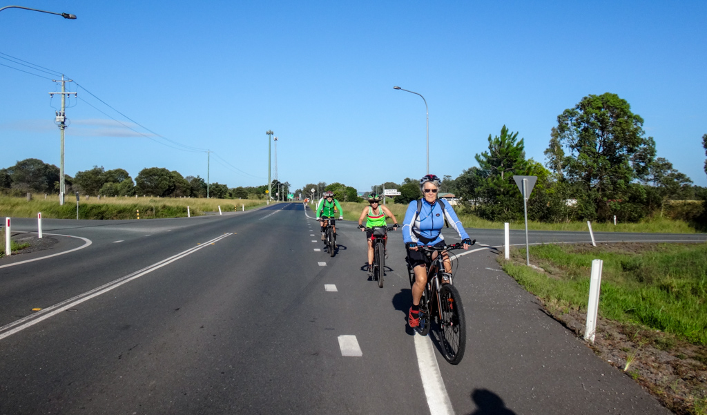
We took a quick roll across the Pumicestone Road overpass towards the forest…

…and after five minutes we were rolling through cool shade in the endless pine forests that cover the landscape of this part of the world.
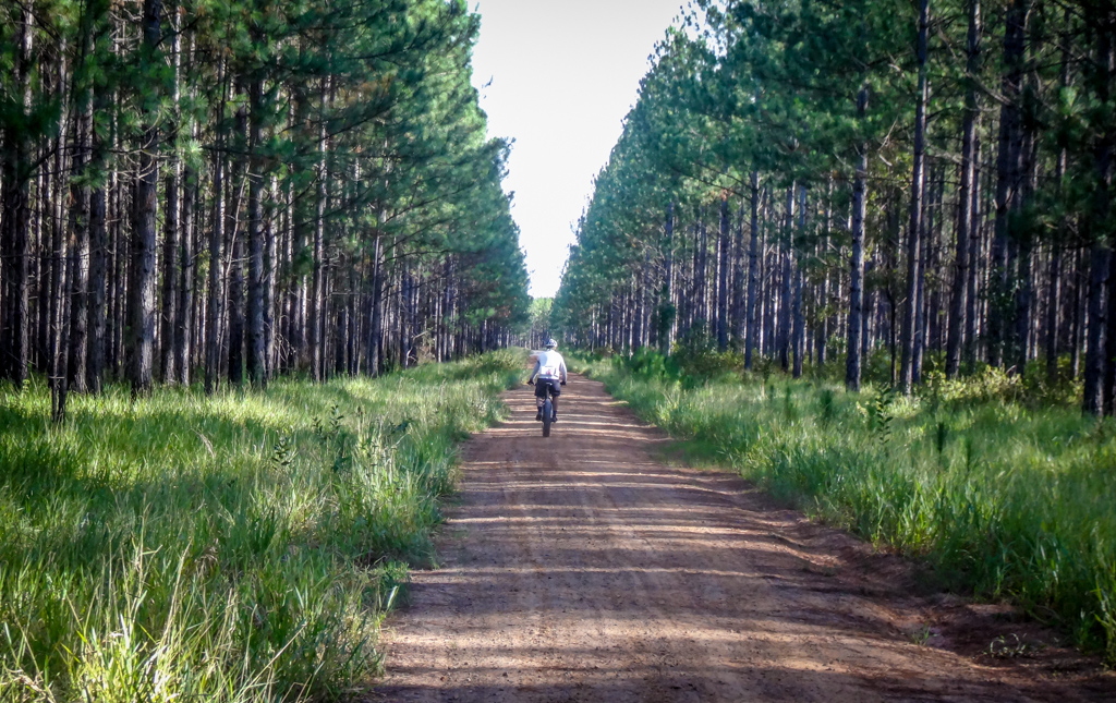
Dirt tracks lead off in all directions through the plantations. You could spend days in here exploring if you wanted. If you weren’t familiar with the area it would be easy to get lost. GPS or good maps are essential around here.

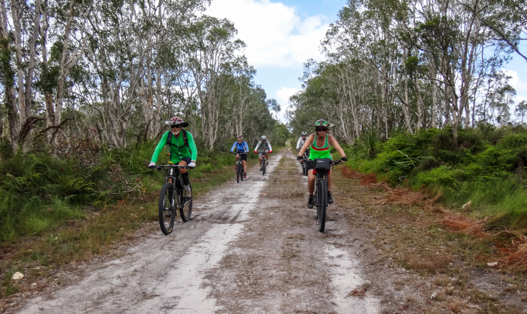
We pointed the bikes north and enjoyed the easy terrain.

In a couple of places the grass grew higher than expected.
“Sorry about that everyone!” I yelled out as I ploughed ahead on my fat bike.
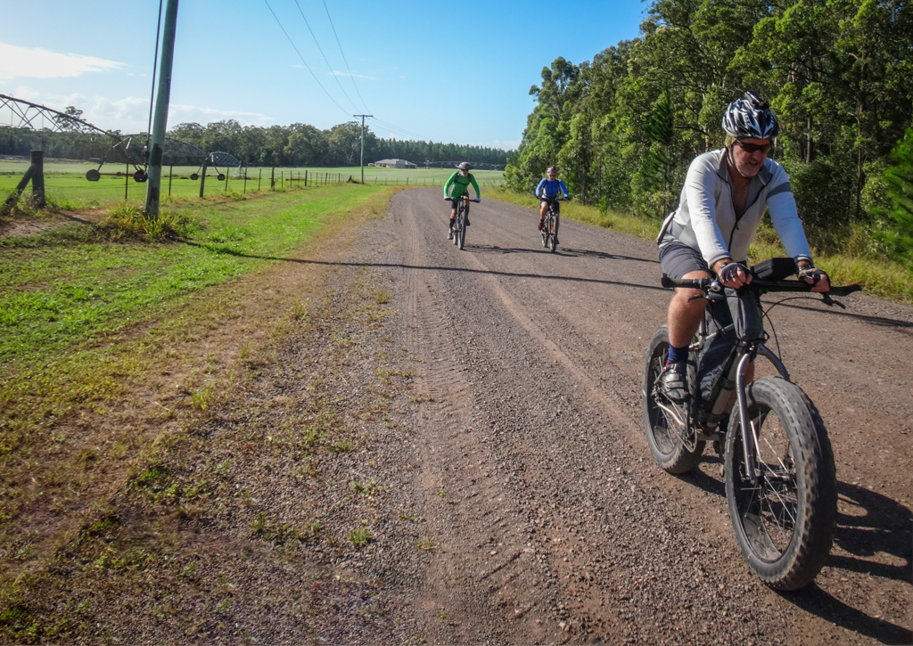
The grass parted and we emerged on a straight flat gravel road beside fields of emerald turf.
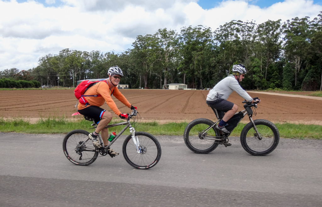
There were no big hills or tricky obstacles – this was a perfect day to chill out, enjoy the cruisy ride, …
…and chat with friends.
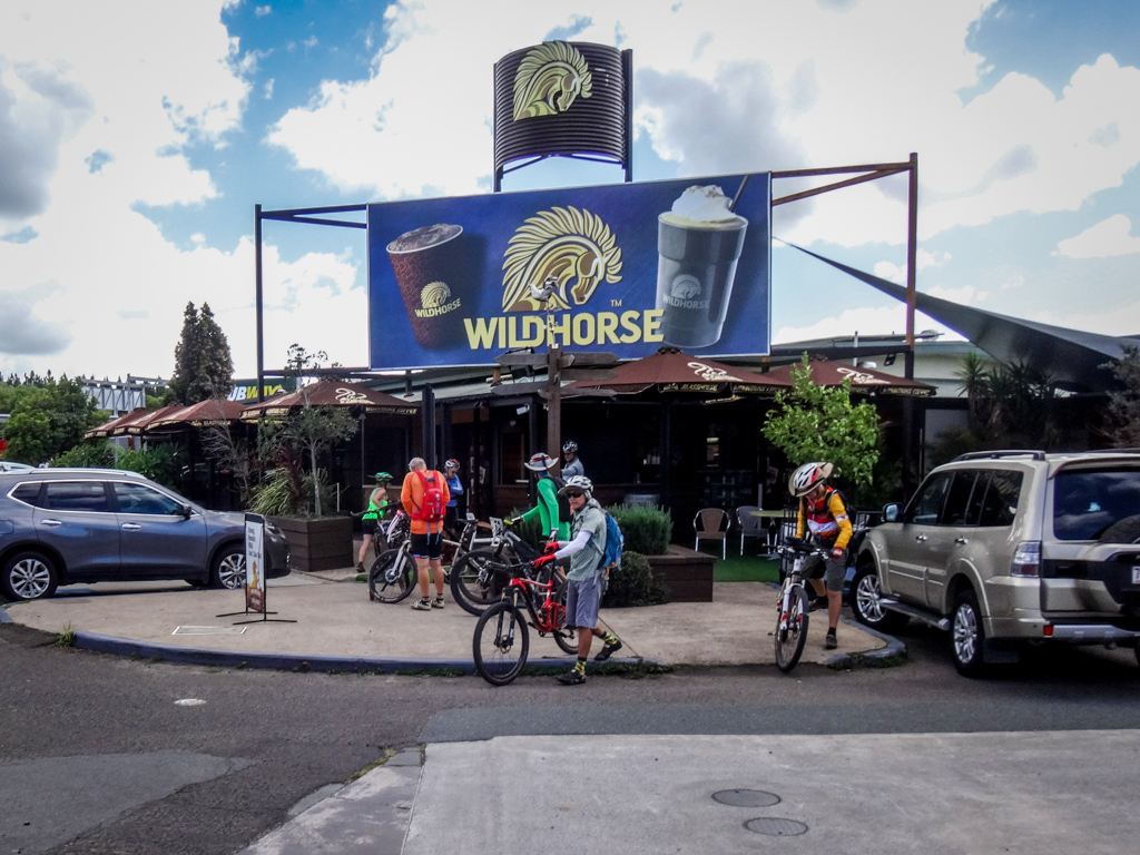
We stopped for morning tea at Wildhorse Mountain.

Just as we were getting ready to ride off again, I noticed my front tyre had gone flat.
Fat Bike tyres take a long time to inflate – which gave everyone a chance to relax some more, or to enjoy the entertainment.

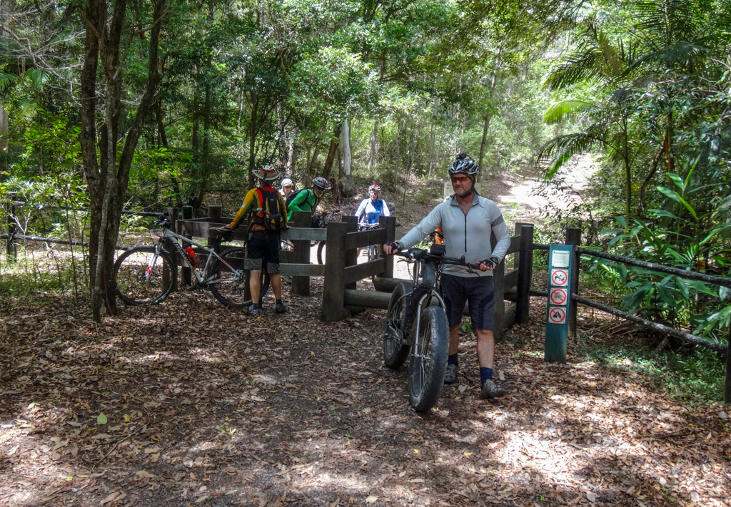
With the flat tyre sorted out, we headed towards Mount Beerwah.

Andrew sketches some of the places he visits. Here’s his wonderful drawing of Beerwah and Coonowrin.
I don’t know how he managed to draw it so well with one hand on the handlebars 🙂
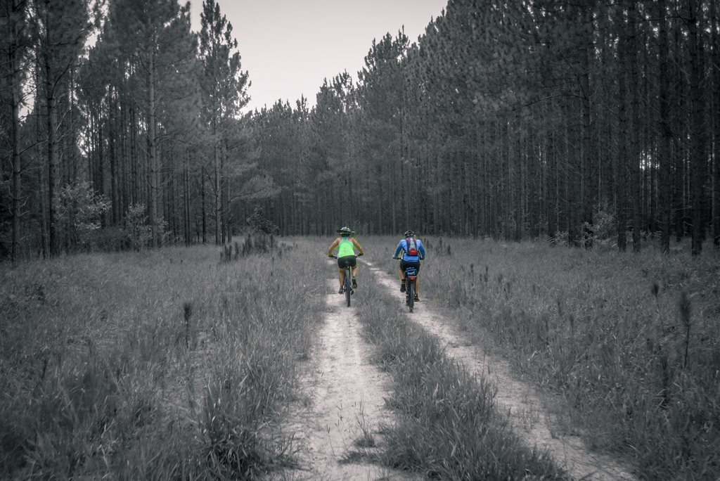
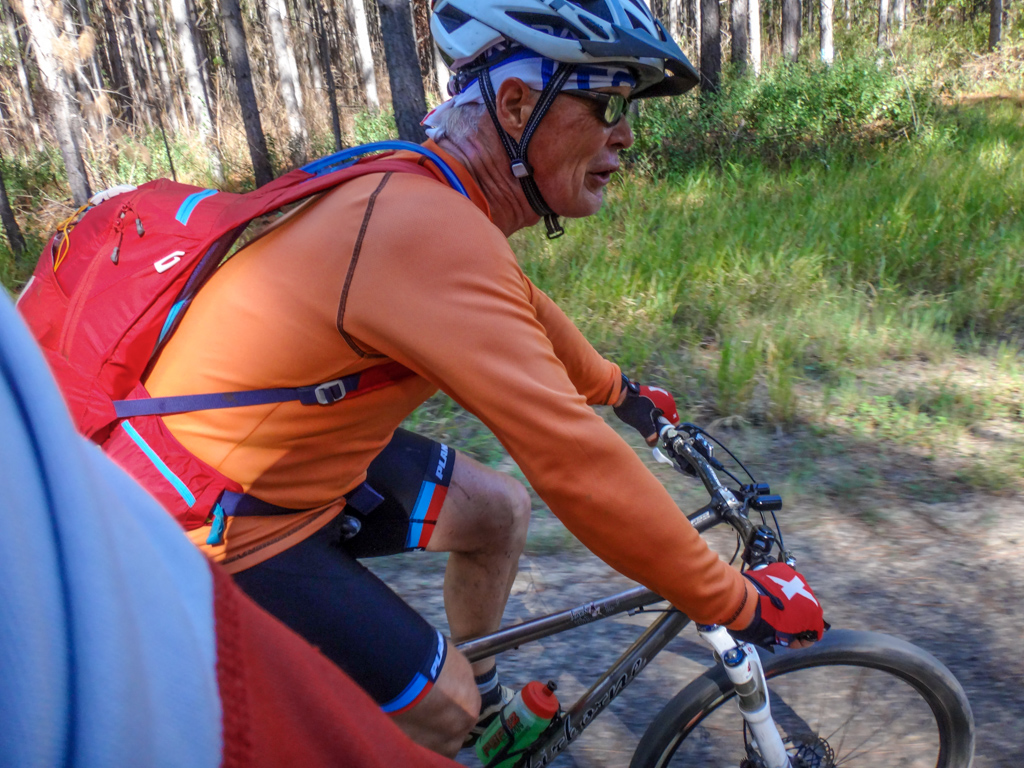
We continued north through more pine plantations. The overcast sky kept temperatures cool – it was a perfect day to be out on the bike.
A little further on we passed by more farms…
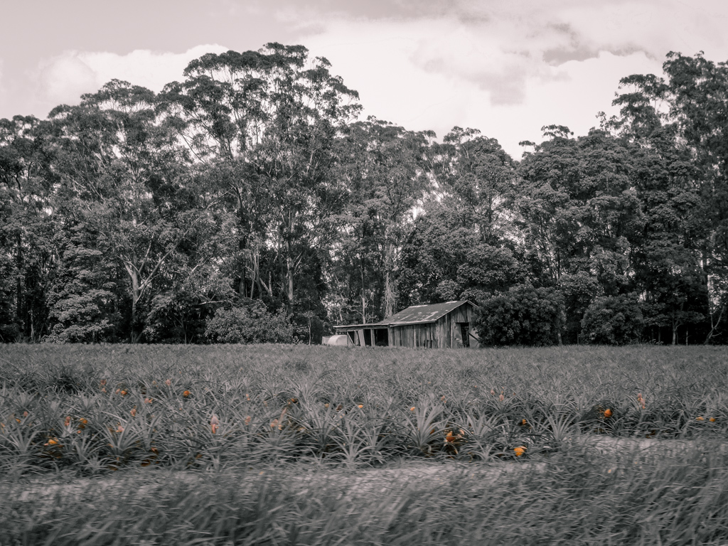
…and around fields full of juicy pineapples.

The terrain changed regularly. For a while we rolled along a sandy track through a paperbark swamp. We haven’t had much rain recently, and the swamp was dry.
Near Landsborough, the familiar peak of Bald Knob came into view over the tops of young pines.
I’ve walked up that hill before, and we’ve ridden down it. It offers some great views.

At Landsborough we followed the remnants of an old railway line north.

It seems like some riders on furry mountain bikes had the same idea too.
Horses can be unpredictable, so we dismounted and walked past them.

The railway tunnel is curved. That means you can’t see the other side when you enter it.
I didn’t have any lights, so had to ride into the darkness hopefully, trusting that there were no obstacles in front of me.
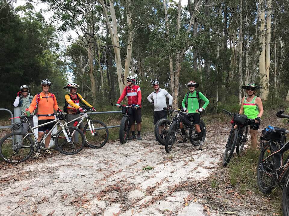
We reached the Mooloolah trail head at the other end of the tunnel.
Peter and Andrew decided they’d like to ride some more, and made their way back to Caboolture on the bikes.
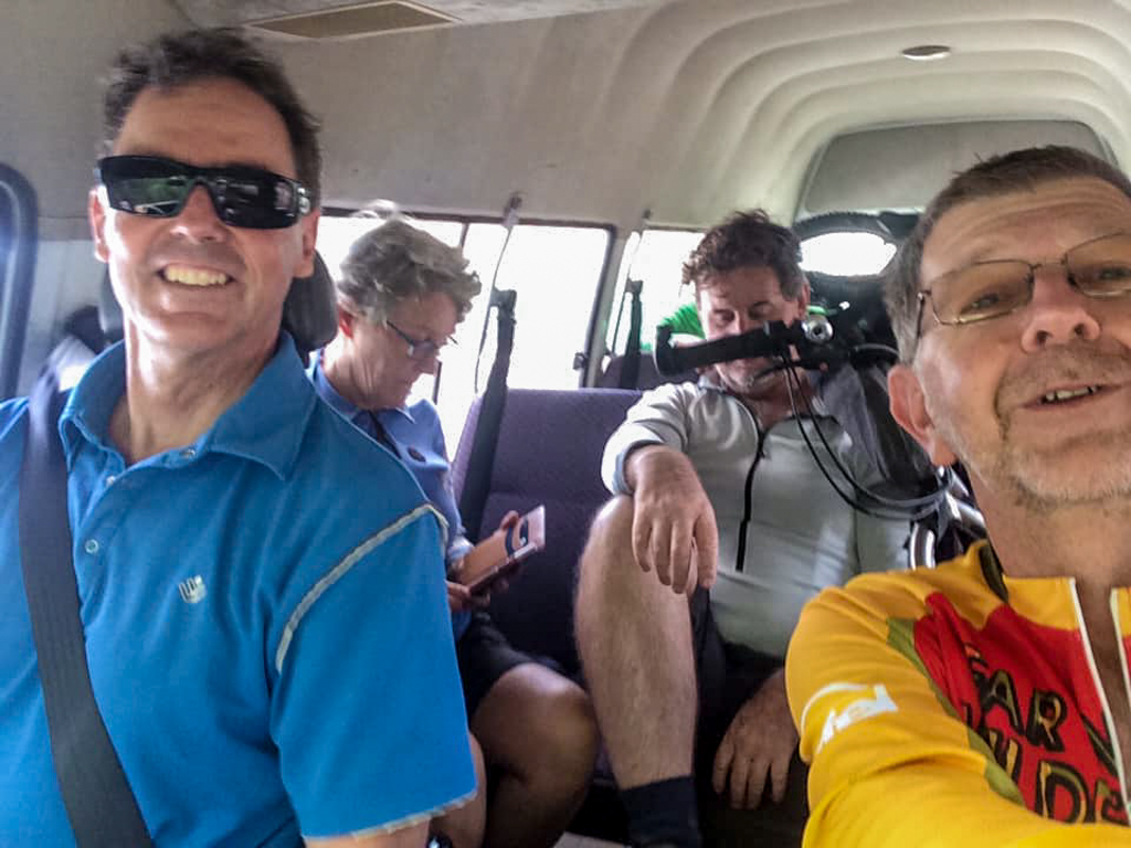
The rest of us loaded our bikes in the van, and enjoyed a cramped but friendly ride home.
Total climbing: 686 m
Average temperature: 26.6
Total time: 04:30:20
More Info
We rode 47km in about four and a half hours. During that time we climbed about 380 metres in elevation and I burned about 1,600 kcal.
This was an easy, pleasant ride – a perfect relaxing day on the bike.
I’ll rate it 4.5 out of 10 on the tough-o-meter.
Thanks everyone, for a great day out.


Another great route Neil, thank you! Though the long grass (still there and very long) probably makes the tough of metre score a little higher 😉
Another beautiful ride, thanks Neil! With a low score on the Tough-o-meter, we were going to ride up and back on this one. Sadly though, the section of trail just after you pass Fraser Road is now private property. There is a really serious gate with a camera on it and I think it might be a nature conserve attached to Australia Zoo. We went to the Western End of Fraser Rd hoping to find a sneaky track that would take us up the outside of the fenceline, but no dice. To get to Landsborough along this route now you would have to take a right turn onto Bells Creek Rd and then up Forestry Rd I think.
That would have pushed our day a little bit too long, so we waved at the camera and headed back. A great day out in those pine forests though, thanks again for sharing.