
Western Queensland is a stunning place. Last year’s visit wasn’t enough for me, so I convinced a few friends to return with me and explore a little further west.

Western Queensland is a stunning place. Last year’s visit wasn’t enough for me, so I convinced a few friends to return with me and explore a little further west.

After enjoying a long solo ride through the Scenic Rim a few years ago, I wanted to return to one particular section with friends so they could appreciate it as well.
Continue Reading

After our scenic ride out to Sheffield and back, Darb kindly offered to take me on a few more short but enjoyable rides in Northern Tasmania.

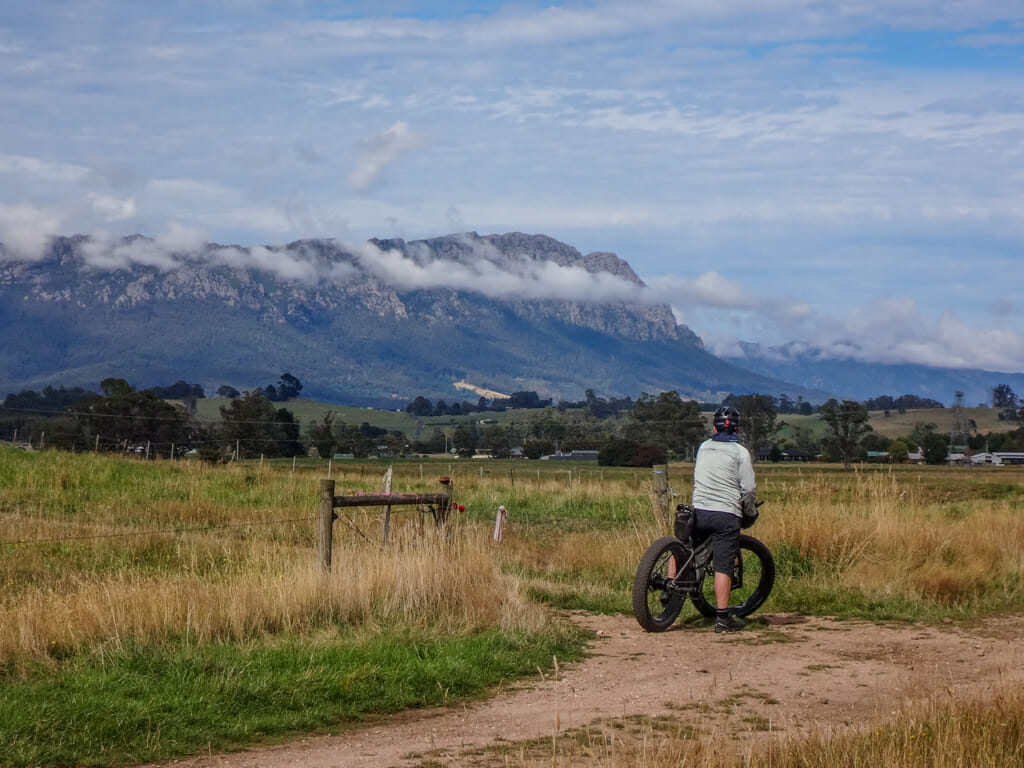
While Liz and I were holidaying in Northern Tasmania recently, my friend Darb took me for a ride to some of his favourite places.


During the heat of summer, we often find ourselves drawn to places where we can cool off. Here are a few such spots we’ve visited over the last few weeks.
Continue Reading


A short ferry ride over the Noosa River from Tewantin, there is a vast sandy wilderness next to the ocean, perfect for exploring on a fat bike.

Once upon a time, a young bloke named Les used to ride his bike from Moogerah to Ipswich and back so he could spend time with his elderly Grandmother. Today we retraced his journey.
Continue Reading
