Simply Happy

If you want to be happy, it helps to know what you want.

A few days ago I thought to myself that I’d really like to explore some new trails by Lake Samsonvale, and today I did just that! And now I’m pretty happy 🙂

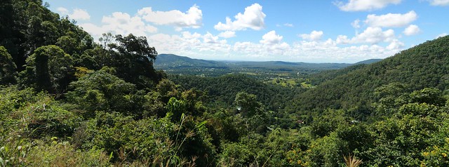
This time of year in Southeast Queensland is beautiful. The westerly winds clear the skies to a deep blue, and the temperature drops. Perfect weather for exploring this part of the world.
Lakeside Trail
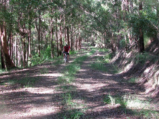
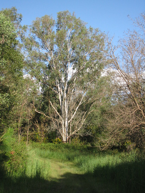
There are some beautiful trails by the shoreline of the lake – and many of them barely see a human once per week.

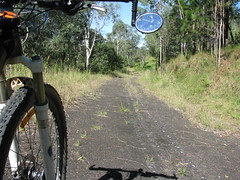
This is the remnants of Gordon’s Crossing Road looking towards the north west. Today, Gordon’s Crossing Road West stops near the shore of the lake. But 50 years ago it continued pretty much in a north-westerly direction, across the North Pine River to where this photo was taken.
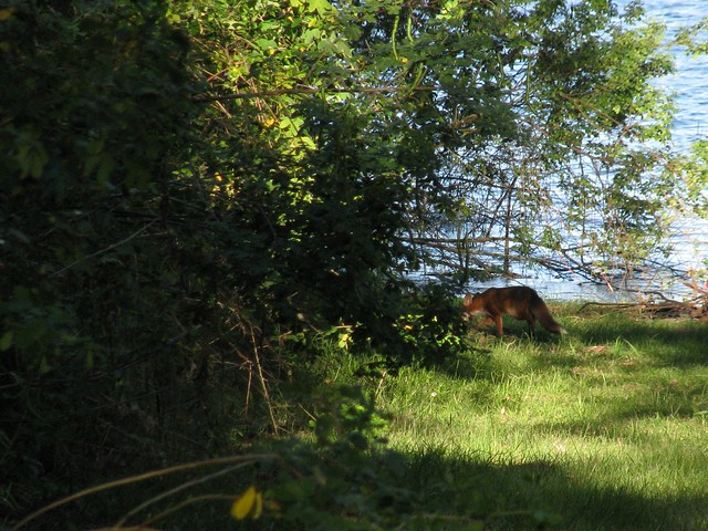
Fox
Today the only company I had on the bike was an elusive fox whom I managed to quickly photograph before she slunk away into the lantana.

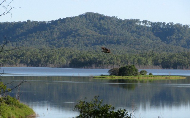
Mount Samson
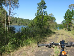
A view of Mount Samson from the shore of Lake Samsonvale at Harrisons Pocket.

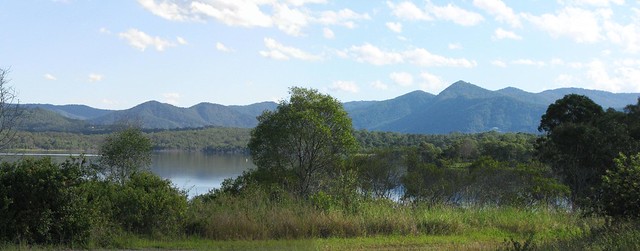
Clear Mountain
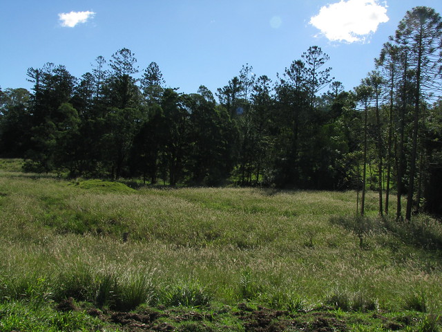
A view of Clear Mountain from the other side of Lake Samsonvale. Most of the time my experience of Clear Mountain is straining on the pedals trying to get up the steep hills, so it was a pleasant change to see it from this angle.

So – I’m happy because a few days ago I took a few minutes to make a mental note of something I’d like to try. And today I took a couple of hours to give it a go. I honestly don’t want to win the lottery – I’d just like a few more afternoons like this. And unlike the lottery, I think I’m almost certain to get this wish!

Total distance: 28.86 km
Total climbing: 465 m
Average temperature: NAN
Total time: 02:14:54
Download file: activity_85090539.gpx
More data

Samsonvale Flora

A couple of bright plants caught my eye while I was riding by the lake this morning, so I thought I’d share them here.
Banksia
There are many striking yellow banksia growing along the shoreline of Lake Samsonvale. There are so many variations of this plant that I can’t accurately name this species, but if I had to guess I’d say a Coastal Banksia (Banksia Cuninghamii), named after the prolific Alan Cunningham – an impressive botanist and explorer of this area in the early 19th century.

Orange Fungus
If you want to be pedantic, this fungus isn’t a plant, and I really shouldn’t be including it in an article entitled “Samsonvale Flora” because it’s not Flora. Fungus is in a separate kingdom from plants and animals. If you’re interested, you might like to read this article. But they’re bright, and they grow on trees all over the place round here. I wouldn’t have a clue what species it is.

Today’s ride was pretty short, but I was delighted to see Powerlink has repaired some storm-damaged fire trails, and I was able to smash a couple of challenging hills during the ride.

Total distance: 25.68 km
Total climbing: 389 m
Average temperature: NAN
Total time: 01:54:27
Download file: activity_84171918.gpx
More data
Laceys Creek Mega Loop

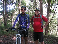
Riding Buddies
Riding Buddies
I’ve been thinking about this ride for weeks. Basically I wanted an enjoyable dirt ride which would let me get from Mount Glorious, up in the D’Aguilar Ranges down to Dayboro, and back home. A friend of mine (Russel) suggested a route, so I fed it into the GPS, talked Simon into coming with me, and set out on another hare-brained adventure.

The first part of our trip was from home to Samford, up the Goat Track, then to Mount Glorious, and Wivenhoe Outlook. That first stage was just over 50km.


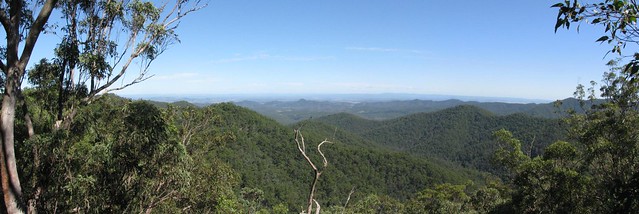
Westridge Outlook Panorama
The view from Westridge Outlook on the first part of the ride.

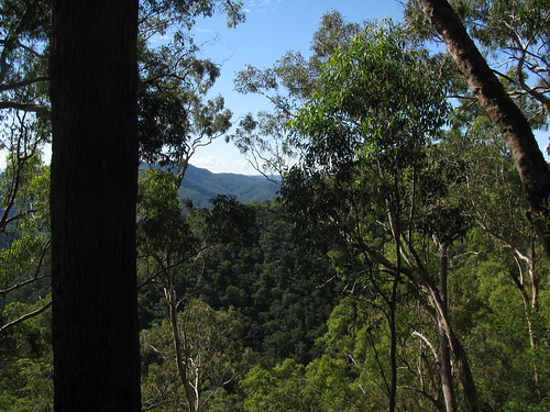
Then we hit the dirt and headed down the hill towards Lacey’s Creek and Dayboro. The track undulates for 5 or 6 km and has some amazing views..
Laceys Creek Road
Laceys Creek Road

Then the track suddenly drops 500m in elevation over 5km. That’s the exciting bit 🙂 The only problem was that by the time I’d got to the bottom, my brakes were so hot they were smoking.

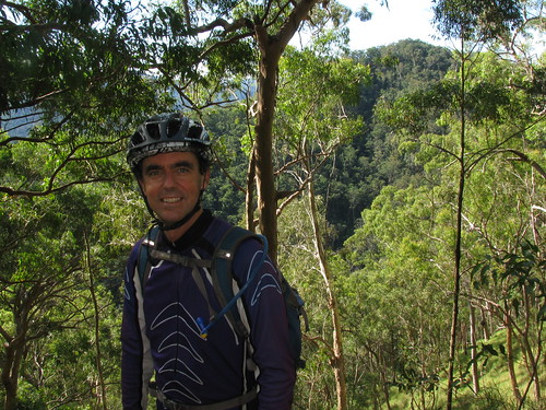
Don't Give Up!
Simon demonstrates the number one rule about climbing hills. It doesn’t matter how steep or tough they are – don’t give up!

I’d really like to do this again sometime. All up we rode 102km. Total ascent for the ride was 2,100m, and I burned 6,300kcal which is the equivalent of 13 Big Macs.

Total distance: 104.3 km
Total climbing: 2253 m
Average temperature: NAN
Total time: 09:50:56
Download file: activity_82958690.gpx
More data
Ride Profile

Rush Creek

I thought I’d explore some quiet roads out the back of Dayboro this afternoon. It was a good excuse to get a few miles on the bike before I go for a huge ride with Simon tomorrow (weather permitting).
Rush Creek and D'Aguilar Ranges
Rush Creek is one of those districts that figured large in the history of the Pine Rivers area. It was logged in the mid 19th century. William Henry Day (after whom Dayboro is named) planted one of the first sugar cane farms in South East Queensland using Kanak labour.

Today, much of what was the Rush Creek district has been flooded by the North Pine Dam…
Old Roads Never Die they just...Old Roads Never Die they just...
Rush Creek Road was closed off in the 1970’s when the North Pine Dam was built, and local farmland was flooded.

It used to be the main road between Petrie and Dayboro, and crossed Rush Creek at Whiteside / Quinns Crossing. That crossing disappeared under the man-made lake 40 years ago, and the road hasn’t been used since.

It’s funny how you can still make out the double white line down the middle, under all the grass which is slowly reclaiming the land.

One of the other unusual roads in the area is Raen Road…
Hoops and Bunyas
I followed a dirt road over a cattle grid. It eventually turned into a vehicle track, and before I knew it I was in front of an old farm house.

Will, the farmer, was really friendly and explained that the road reserve ran through his property and disappeared in the grass after a few hundred meters. He very kindly let me ride around and take some photos. I really liked these old Hoop (A.Cunninghamii) and Bunya (A. Bidwilli) pines along the banks of the upper reaches Rush Creek.

The final road I explored was Strongs Road. The sign says it’s a “No Through Road” but it actually turns into a muddy vehicle track, and eventually comes out on Mount Samson Road – a much nicer ride than battling 100km/h traffic on Dayboro Road!
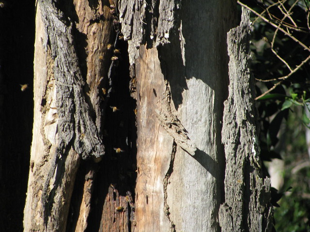
Wild Bees
Wild bees have built a hive in the trunk of an old Eucalypt along Strong Road at Dayboro.

All up, 55km, 2,500kcal (= 6 Big Macs), and 800m of ascent.

A fantastic way to spend a Sunday afternoon!

Total distance: 55.94 km
Total climbing: 854 m
Average temperature: NAN
Total time: 03:59:43
Download file: activity_82624820.gpx
More data
Kidnapping the Neighbors Kids

Our kids had a visit from a couple of their friends this morning.

Rather than let them sit around playing computer games, we bundled them into the van and took them on a couple of hikes. (After checking that it was ok to kidnap a couple of extra kids. Thanks Renea!)

The first hike was around Camp Mountain – a beautiful forest to the south of Samford. I’ve done this on the mountain bike before, and really wanted to show everyone how picturesque it is.
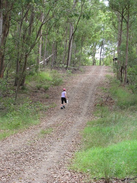
Up the Long Road
It’s a big road for a small person. Lilly kept going all day. (Picture by Liz)

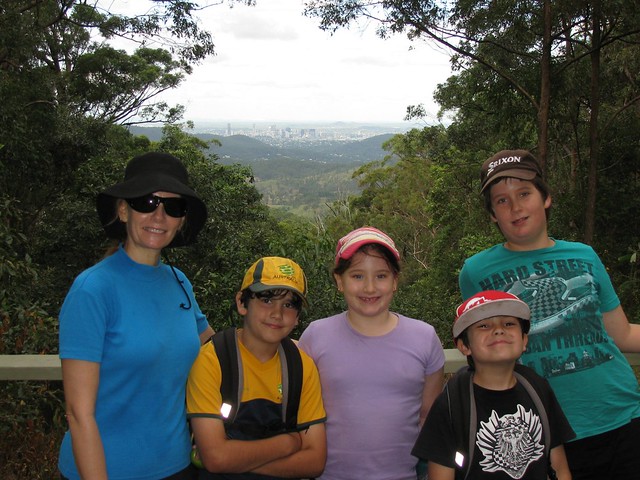
Camp Mountain Summit
It’s a good climb to the Summit of Camp Mountain, with great views of the city.

Lace Monitor
Some of the wildlife at the top (Picture by Liz)

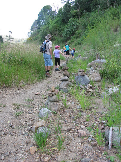
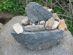
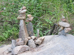
The second hike was up the Goat Track – a washed out dirt road west of Samford. I love this road because of the views and the fascinating Rock Art that has sprung up along the way.

"Hey look at this!"
Sail BoatCouple with ChildMenagerie
I’ve been observing the rock structures over the last couple of months and they’re getting quite realistic!

Albany Creek Water Tower
The view from The Goat Track looking east past the Water Tower at Albany Creek, with Moreton Bay in the background.

All up we hiked 8.8km with a total ascent of 520m. I was really impressed with how well the kids coped with it – no complaints and everyone kept up a great pace (average of about 4.5km/h).

Well done team!

Total distance: 5.99 km
Total climbing: 397 m
Average temperature: NAN
Total time: 01:42:20
Download file: activity_81379276.gpx
More data
Total distance: 3.66 km
Total climbing: 150 m
Average temperature: NAN
Total time: 01:02:15
Download file: activity_81379266.gpx
More data

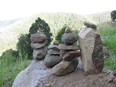
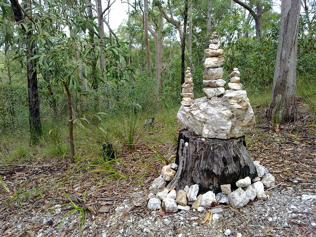
Rock Art – Clear Mountain

Rock Art - Clear Mountain
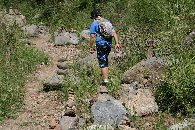
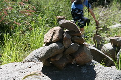
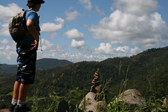
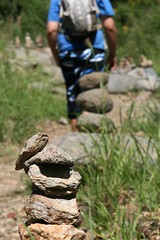
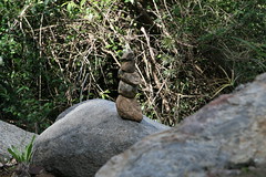
It seems like wherever I ride my mountain bike these days, this wonderful rock art seems to be springing up.

One day I’ll ride by and see a simple pile of four or five stones. In a few days, there’ll be a few more – as though it’s a sapling or a strange rocky mushroom. After a week or two it starts to get more complex, until eventually you get something fascinating like this which looks like the fairies have been up to mischief in the forest.

This phenomenon is wonderful on so many levels:

Unlike the Mona Lisa, this sort of art is vulnerable. If someone was malicious enough they could knock all the rocks down with impunity. But they don’t. I think this is because most people who go out in the forest on foot or on a bike are happy people. The happiest people on earth are those who get regular exercise doing something they enjoy. I doubt you’d get many spiteful souls walking in the forest. I doubt this sort of creation would last a day in a big city.

Even though it’s vulnerable, it’s beautiful. Not in a “Mona Lisa” way – but on a simpler level. Someone just grabbed a few stones lying around and stacked them. It probably took less than a minute. But the end result quietly says “I was here”. When someone adds to it, the stones say “I was here too”. After a few weeks, the mystical conglomerate seems to be chattering away saying “Hey – we were here too! Me too! And me! Woo – hoo isn’t this fun!”.

And eventually you have something created by dozens of people that has taken on an happy energy of its own.

As an experiment, why don’t you take a walk in a forest somewhere, stack up a few stones, and see what they grow into?

Harrisons Pocket

The afternoon was too pleasant to spend in the office, so I took a walk along the northern shoreline of Lake Samsonvale.

This area was known as “Harrison’s Pocket” before the dam was built. But now the town of Harrison’s Pocket, with its post office and school only exists on old maps.

The landscape has changed completely.
Clear Mountain
The lake is now an important habitat for many different species of water-birds.

Mount Samson
The western part of the lakes covers what used to be known as the town of Samsonvale named after Mount Samson which towers over it to the west.

None of the old town remains except the cemetery on the shore of the lake.

Blue Gum
The land to the north of the lake has some beautiful quiet trails.

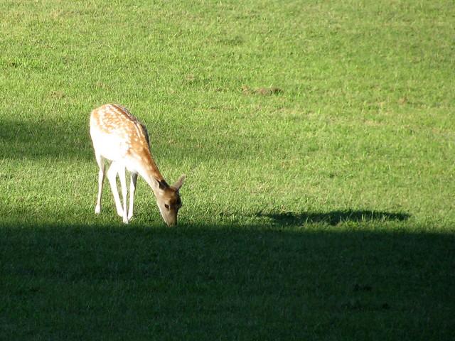
Deer

Total distance: 6.72 km
Total climbing: 298 m
Average temperature: NAN
Total time: 01:22:21
Download file: activity_78743833.gpx
More data

The Goat Track

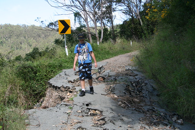
The Goat Track is a narrow one-way gravel road which winds up from Samford Valley to Mount Nebo. Until recently it saved motorists over 10km on the trip.
The Goat Track (1/8)The Goat Track (2/8)
But heavy rain a few months ago caused landslides which made the road impassable for everything except foot traffic and mountain bikes.

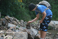
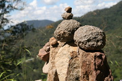
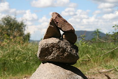
Rock Sculptures (3/8)Rock Sculptures  (4/8)Propitiating the Mountain Gods (5/8)
The natural disaster has inspired the locals to develop some exciting new art forms.

Propitiating the Mountain Gods (6/8)Propitiating the Mountain Gods (7/8)
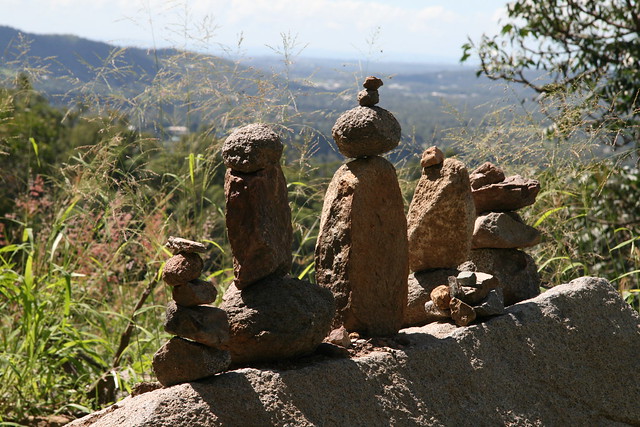
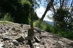
At first one or two simple stone sculptures sprang up by the roadside near the damaged areas. As other walkers passed by, they added to the artwork, building more and more complex sculptures until in one area, the whole roadside has turned into one large gallery of public artwork seeking to propitiate the gods of the mountain to ensure the safety of this thoroughfare.
More Rock SculpturesMore Rock SculpturesMore Rock SculpturesMore Rock SculpturesMore Rock SculpturesMore Rock Sculptures

Art Gallery With A View (8/8)
This whole thing has been spontaneous. The people who contributed to it probably never met the earlier contributors, but it has evolved into a public collaborative work of art. There are rumours that the local council may not ever have the funds to repair the damage. And so weeds and grass continue their slow march reclaiming the road while people slowly turn what was a serious traffic route into a public art gallery with-a-view for fun-loving hikers.

Total distance: 8.27 km
Total climbing: 375 m
Average temperature: NAN
Total time: 02:06:48
Download file: activity_78215885.gpx
More data