Today’s adventure took us in a large scenic loop around Lake Moogerah, along the Bicentennial National Trail, and under the towering peaks of the Great Dividing Range.
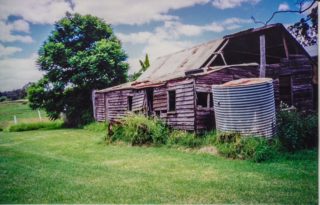
We started at Russel’s childhood home: an old farm near the shores of Lake Moogerah.
(Photos: Russel Scholl)
There’s something special about visiting the place where a friend spent their childhood years. Our history gently reveals who we are, where we came from, how we got to be here.
For generations, Russel’s family have cared for this land, and built a life here.
I enjoyed the brief glimpse into his history.
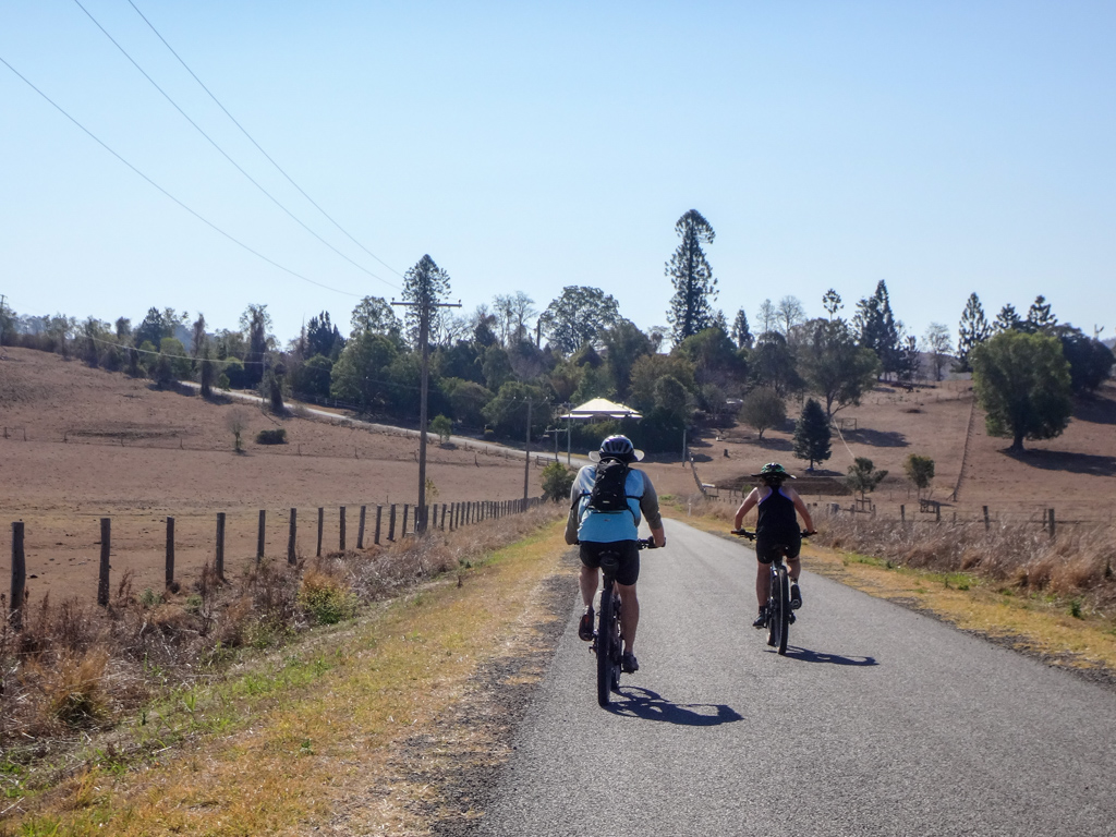
The day started with a short steep gravel climb up Tunstall Road.
It’s never pleasant to start a ride with instant exertion and no time to warm up, but we smiled anyway – it was a perfect and mild day amid picturesque surroundings.
At the top of the hill we turned into Pfeffer Road – a rough old track which led us back down the hill.
Perfect for mountain bikes – but I wouldn’t like to bring a car here.
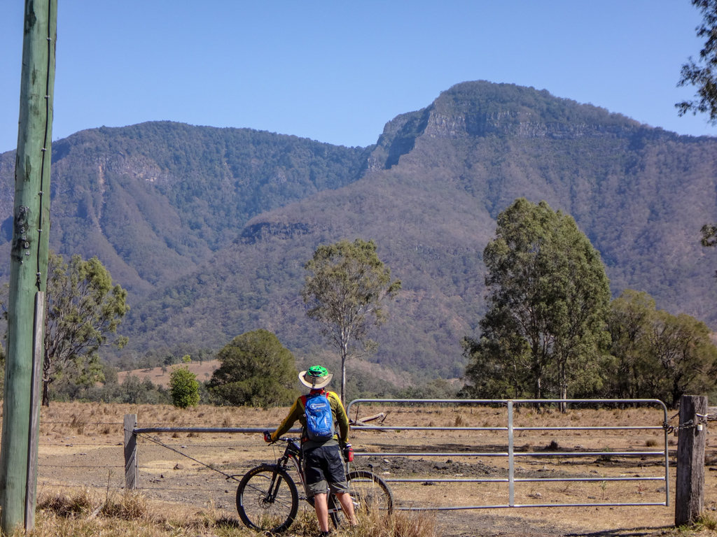
At the bottom of the hill we stopped to admire the view over brown paddocks towards Mount Greville and the Great Dividing Range.
Everywhere you look here, there are fascinating peaks. It’s a great place to ride.
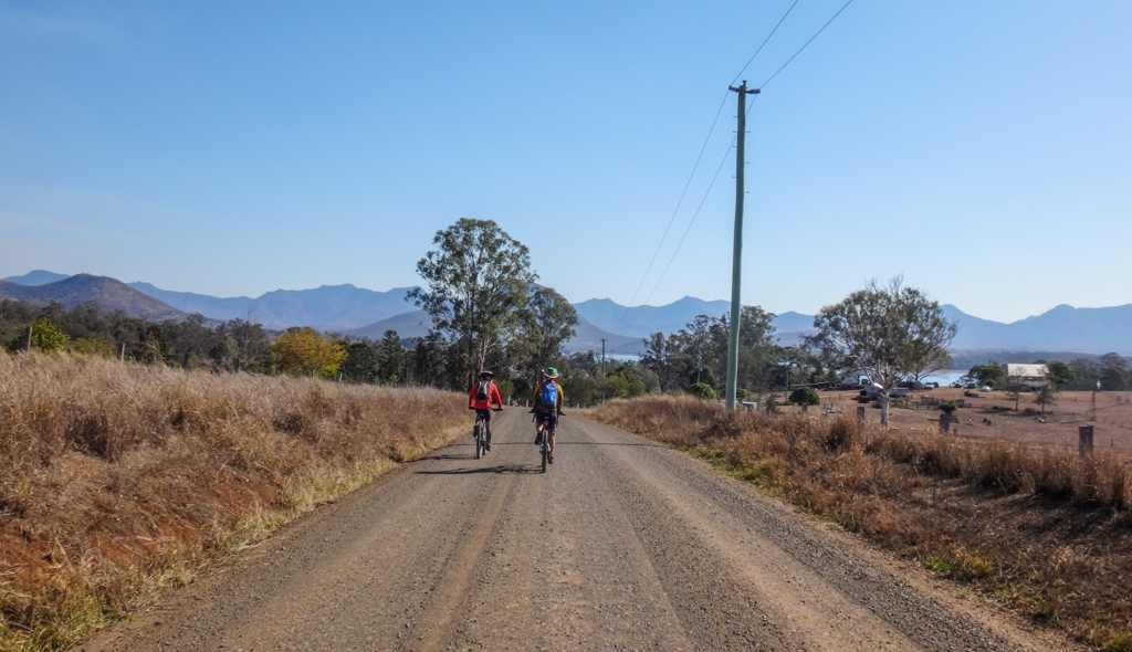
We continued down Pfeffer Road, enjoying the crunch of rubber on gravel.
We could have got here in a fraction of the time on the paved road, but it wouldn’t have been as enjoyable.
At Aratula we crossed the highway and followed Tarome Road west towards the Great Divide. 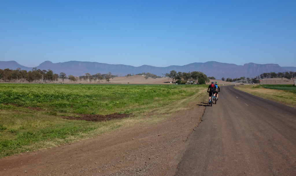
Whenever I see this section of the mountain range that spans the entire east coast of our continent, I think about Allan Cunningham who spent many years in the 1820’s trying to find a practical way to get over it.
It’s like a massive rock wall built by titans in mythical times, attempting to keep as out. Or pen us in.
Cunningham eventually found a couple of gaps in this range, one of which was dubbed “Cunningham’s Gap”. The horses and carts followed, and the rest is history.
He wasn’t the first person to cross via these gaps in the range. Indigenous people had been using them for thousands of years. I’ve often thought that Cunningham might have saved some time if he had asked the locals for directions.
Tarome Road can be busy, so we took a slight detour over Warrill Creek, following a dirt road instead.
The shortest distance between two points is not always the best route 🙂
We followed the gravel west.
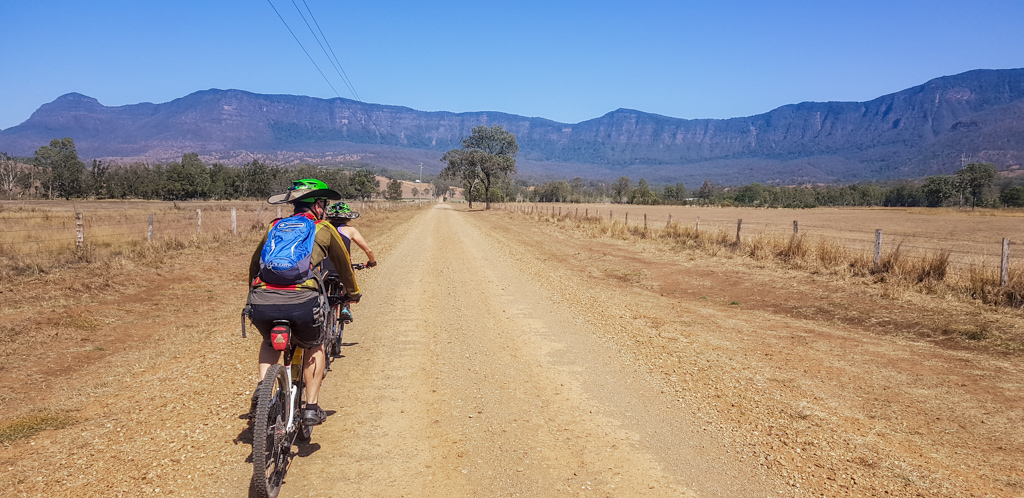
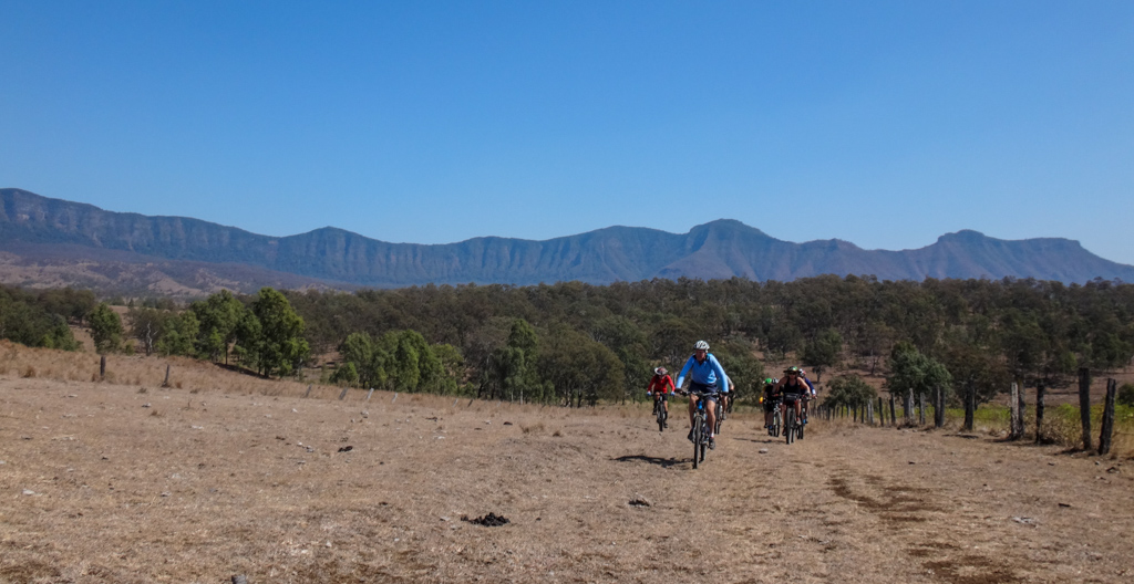
The Great Divide loomed larger in front of us.

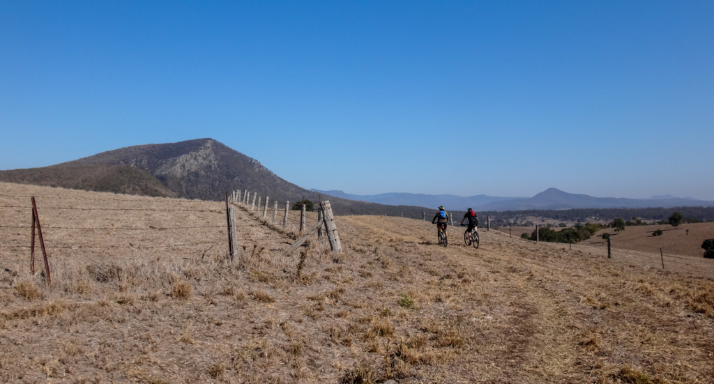
This section of our ride followed the Bicentennial National Trail – an off-road trail which traverses the eastern coast of Australia almost five and a half thousand kilometres from Cooktown in the north to Healseville in the south.
Bright yellow and red markers pointed the way.
We stopped beneath Mount Castle.
Russel reminded me that we had actually ridden our bikes to the top of that mountain a few months ago. It was strange to look at it from this angle and wonder how we had managed it.

The road gently curved around to the south and then became “Campsite Road” as it turned eastward.
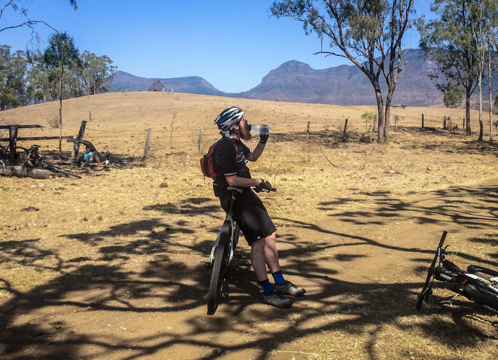
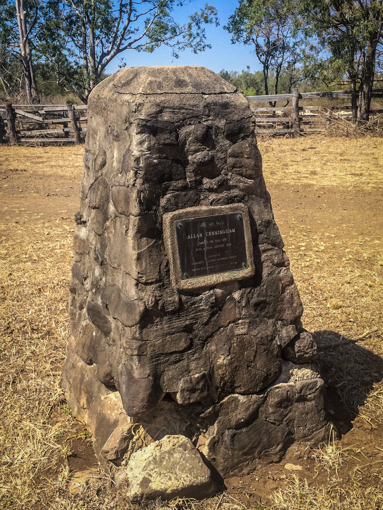
Allan Cunningham camped here almost two hundred years ago while searching for the Gap.
It’s a great spot for a campsite, although the creek is dry at the moment.
We rested in the shade for a while, thinking about how fortunate we were to be riding in such beautiful country.
Our course continued eastward along well-worn cattle tracks.
Behind us lay those amazing peaks.
Our course turned south as we followed the cattle tracks uphill.

The course grew steep. A couple of the stronger riders powered up. The rest of us got off and walked.
Eventually we crossed the highway and followed a fence line uphill towards a lookout.
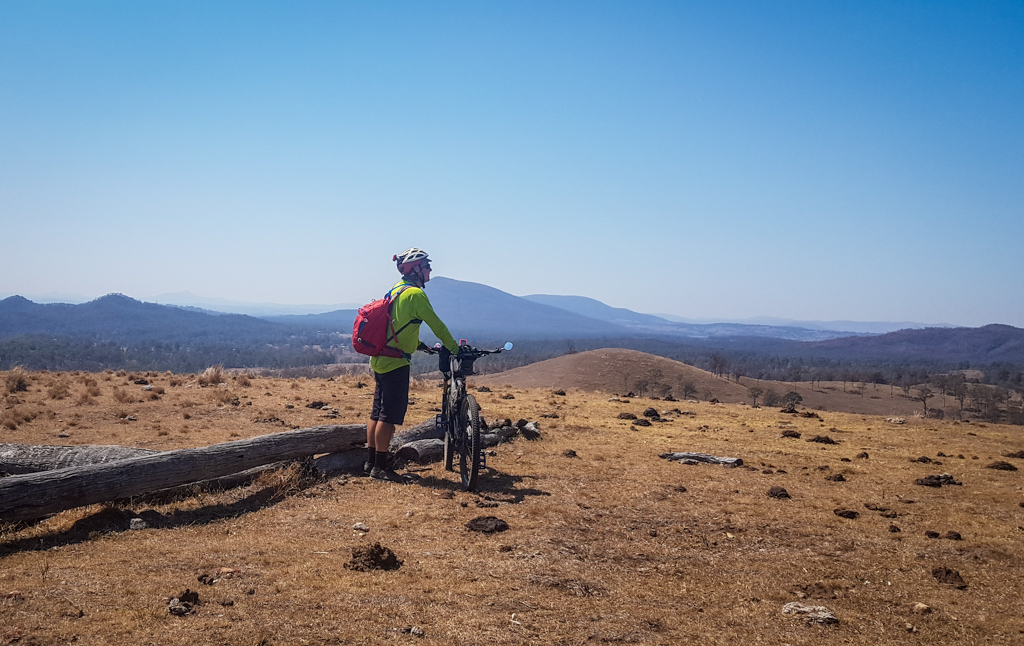
It’s a wonderful spot.
We just sat and soaked up the panorama for a while.

Russel reminded me that I had fallen off my bike here a few years ago, and broken my collar bone.
I promised him I’d ride more carefully today.
We rolled down the hill towards Mount Greville.
I rolled more carefully than the rest, determined not to break any bones.
“Let’s get a group shot!”
Jason took the photos while the rest of us posed.
We continued south under the watchful gaze of Mount Greville.
The Ugarapul people called this Meebatboogan, which means “Place where eagles rest”.
Allan Cunningham named it after his friend, Robert Kaye Greville, a fellow botanist. Greville was a humanitarian who campaigned for the abolition of slavery, an end to capital punishment, and allowing workers the day off on Sunday. He was vice president of the World’s Anti-Slavery Convention in 1840.
At Mount Alford we stopped at the Scenic Rim Brewery for a bite to eat and a drink.
With full bellies we slowly made our way back up Tunstall Road towards Russel’s place.
I sighed with relief as we crested the hill and coasted back towards the cars.
Total climbing: 1135 m
Average temperature: 28.4
Total time: 06:21:04
More info
What an amazing day out!
The weather was perfect for riding, especially considering we had to grind up a few steep hills, and do a bit of paddock bashing near the highway.
We rode sixty-three kilometres in about six and a half hours. During that time we climbed about 1,100 metres in vertical ascent, and I burned about 3,500 kcal.
I’ll rate this one eight out of ten on the tough-o-meter. It’s best done in cooler weather.
Thanks Russel, Calum, Jason, Kaye, Paul, Adam and Blair for a fun day out!











Neil,
Have you done a blog post about the adventure up to Mount Castle?
I’m guessing it’s all on private land – but I imagine the views from the top are fairly unique!
Excellent write-up as usual 🙂