Nanango to Jimna

Brisbane River
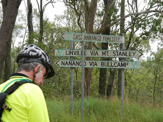
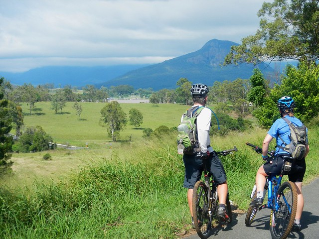
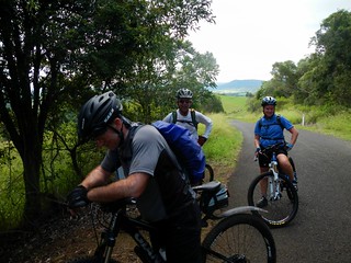
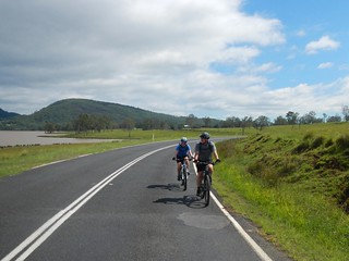
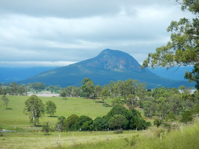
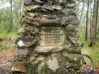
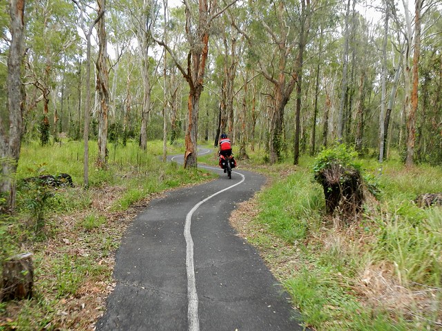
If you traced the Brisbane River as far upstream as you could, you’d end up near Mount Stanley, to the east of Nanango in the South Burnett. Today’s epic adventure was a point-to-point ride starting at Nanango, rolling down the slopes of Mount Stanley and following the upper reaches of the Bribane River to Linville, before heading up the Conondale Range to the small forestry town of Jimna.
Jimna Visitor Information CentreLocal Knowledge
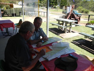
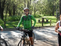
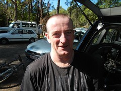
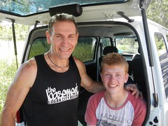
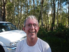
Before setting out we met with Dave Wright, a Jimna community leader who runs the local visitors information centre. He’s lived here since the 1940’s when his father was a timber worker, so Dave is well-acquainted with the forest trails in this part of the world.

I left my van at Jimna, and got a lift in Eric’s car to Nanango where we stayed the night, so we could get an early start the next day.
Cheers!Ready to Go
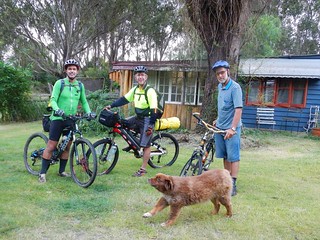
We stayed at Uncle Bobs Cottage – a B&B in East Nanango on the edge of the State Forest. Our hosts, Rod and Celia Price run an organic vineyard there, and kindly let us try some of their delicious Verdellho.
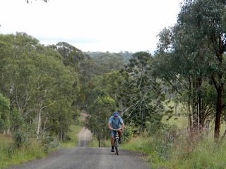
RodEast Nanango Forest
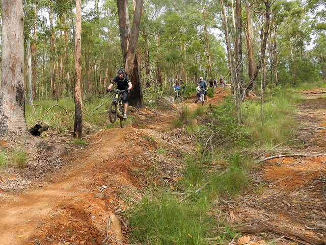
Rod decided to dust off his old mountain bike and ride with us part of the way up the nearby hills. His property is surrounded by a network of trails through local hoop pine forests, so his B&B is an ideal base from which to explore the local forests – especially if you like good wine 🙂
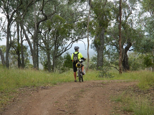
Enjoying the View
Enjoying the ViewSomewhere near Nanango
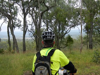
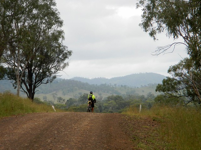
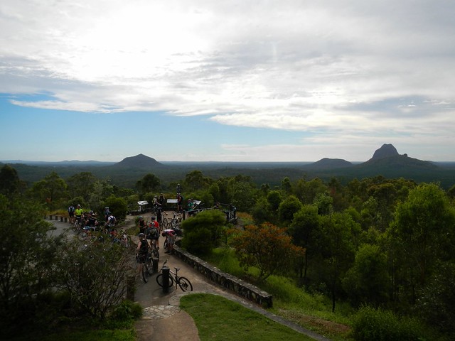
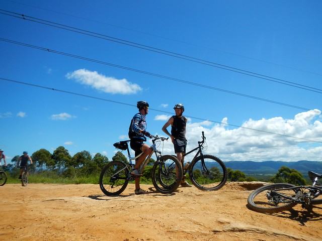
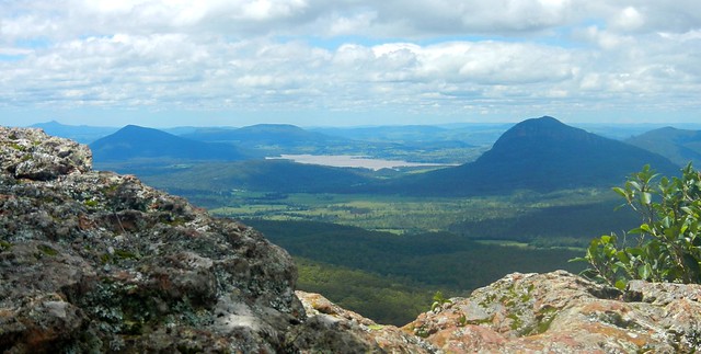
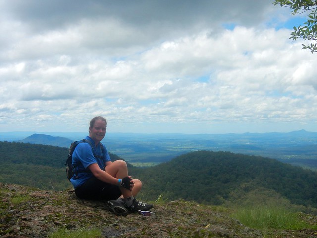
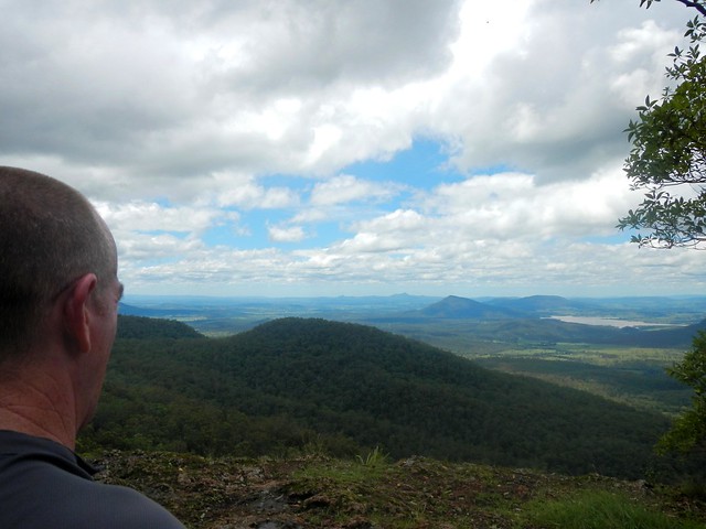
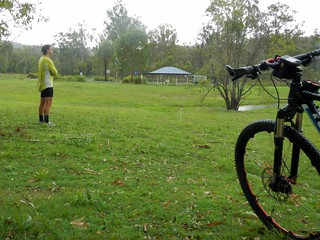
After leaving Rod, we slowly made our way towards the edge of the Great Dividing Range which gave us some great views of the South Burnett.
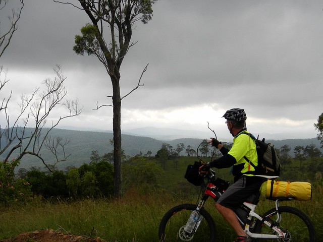
Enjoying the View
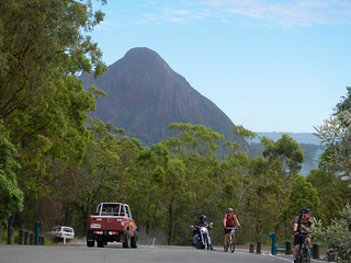
Mount Stanely Road
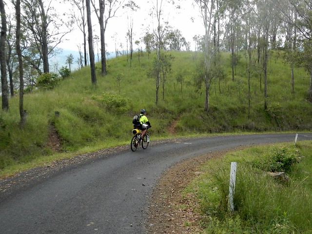
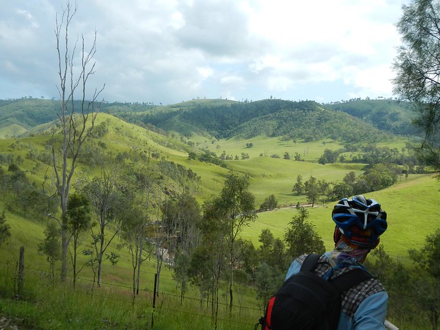
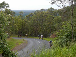
Eventually we were able to look down into the valley surrounding the upper reaches of the Brisbane River near Mount Stanley, before enjoying a long steep descent down to the river.
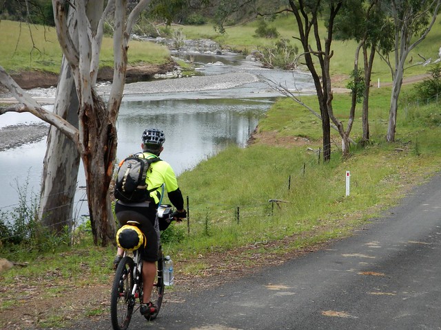
Brisbane River
Brisbane River
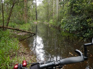
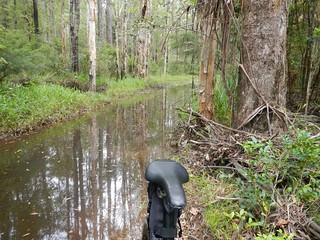
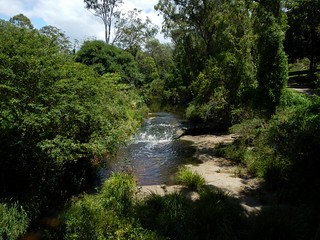
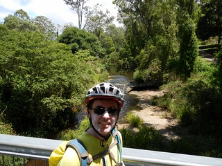
It’s hard to believe this is the same muddy brown river that meanders through the city. Up here it’s pristine, crystal clear, and delightful.
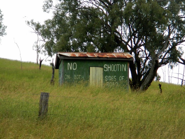
"No Shootin"
Enjoying the view
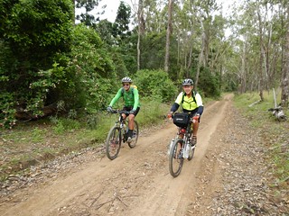
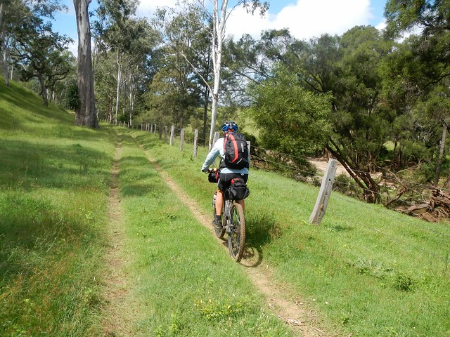
The road follows the meandering course of the river, undulating over gentle hills. It’s an easy ride with pleasant views.
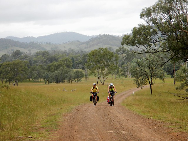
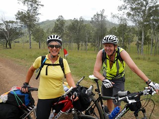
Andrea and Wayne
Andrea and WayneAndrea and Wayne
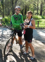
We were pleasantly surprised to meet a couple of touring cyclists, Andrea and Wayne from Bli Bli who were making their way up to Nanango. After the steep descent we’d already made down Mount Stanley Road, Eric and I could only wonder at what sort of hard work they had ahead of them to get up the range.
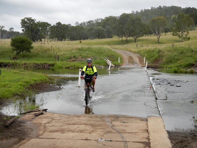
Brisbane River
Brisbane River
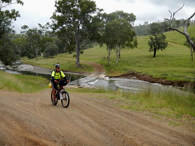
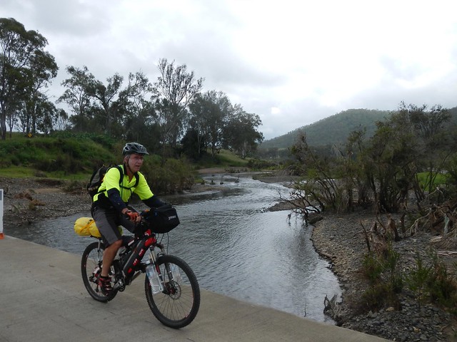
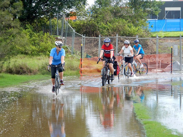
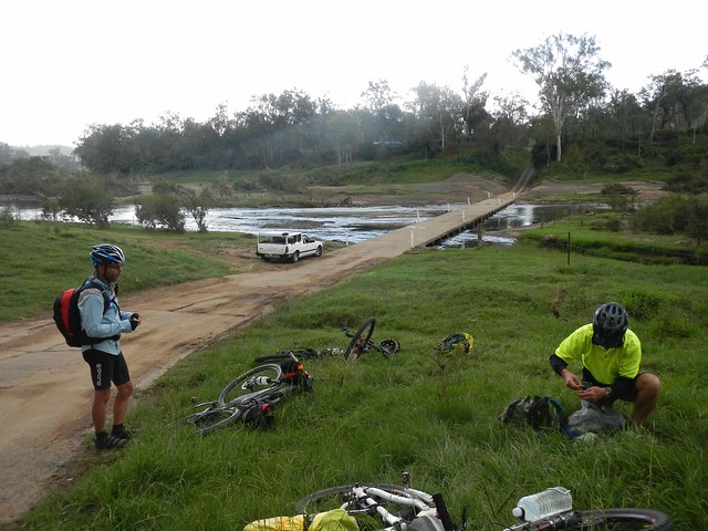
We crossed the river at least a dozen times – sometimes over dry causeways, sometimes through water. This is one place you wouldn’t want to ride after heavy rain.
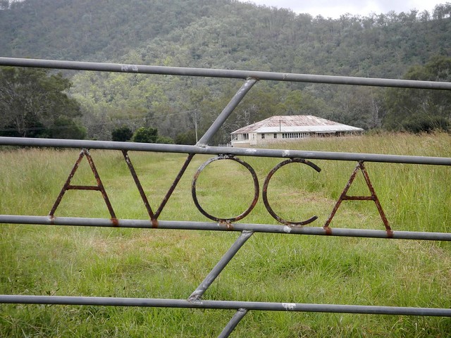
DSCN3047_copy
DSCN3045_copyWhere to?
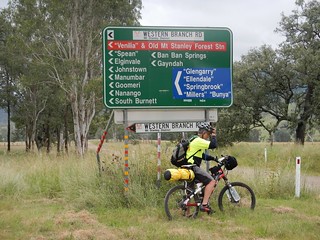
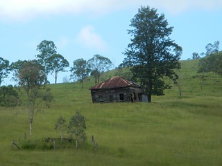
We passed a few old buildings and historic sites which hinted clues about the history of the district. When we finally reached the junction of the East and West branches of the Brisbane River, I was surprised at how many different places you could get to from this remote spot.
Brisbane RiverBrisbane River
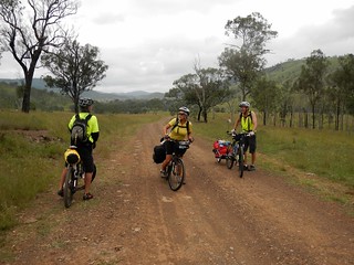
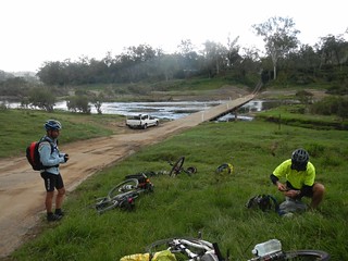
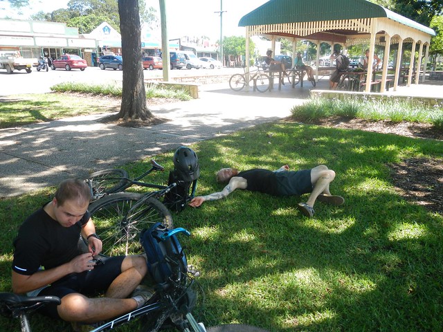
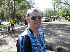
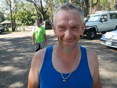
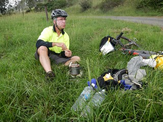
We stopped for lunch by the Brisbane River near where it meets with Monsildale Creek. Eric was carrying a lot of gear because he was camping that night. This meant he was able to boil the billy and make us a hot drink. Our friend Rients joined us here too. He had ridden up from Brisbane the day before, via Esk and Moore (about 150km), and was also planning to camp with Eric that night.
Monsildale Creek
Monsildale RoadMonsildale Road
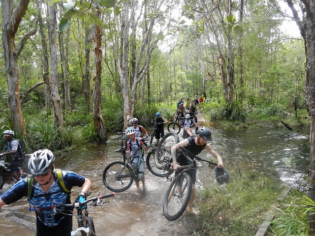
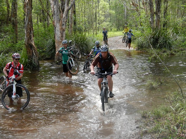
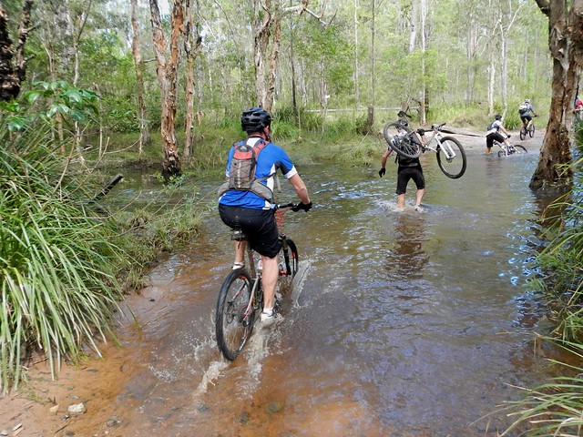
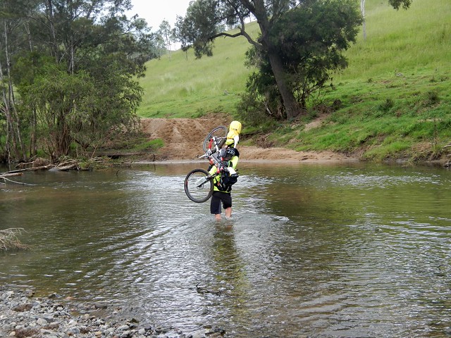
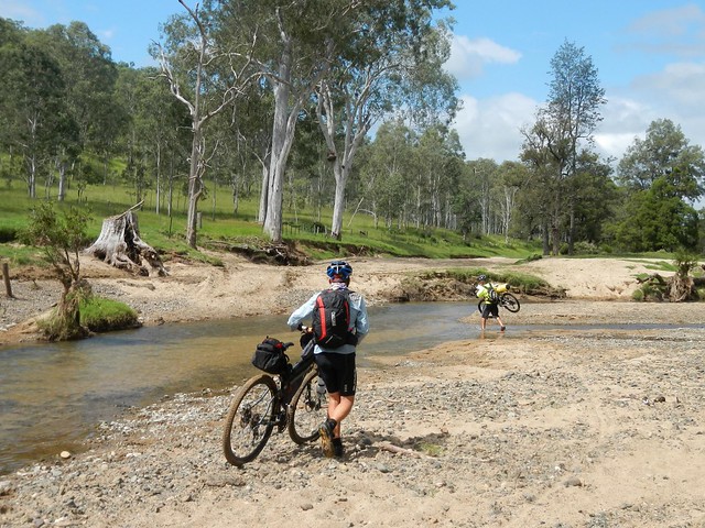
From here we rode eastwards along Monsildale Road. The road follows Monsildale Creek, and we had to wade across it several times. At one deep point Eric was up to his chest in water as he carried his bike across. I let him cross first, and watched carefully to make sure it was safe 🙂 Eric’s bike was heavily laden with overnight camping gear, so it was hard work hoising it above his head and wading across the creek.
Monsildale Creek
Monsildale Road
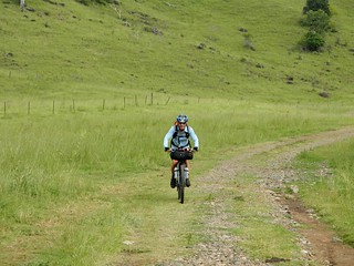
As we headed east, the “road” devolved into a track until it was quite clear we were riding along someone’s very long driveway.
Gillyland Farm
Gillyland FarmGillyland Farm
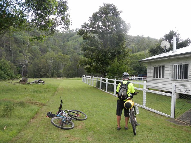
We eventually reached the farmhouse. This cattle property is owned by the Gillyland family, who kindly let us ride through. We said “g’day” to family elder, Stumpy, who was cleaning a huge fish out the back. “So you’re heading to Jimna, hey?” he asked. “You’ll have to go up the side of Mount Buggery to get there” he commented – hinting about the steep climb we had ahead of us.
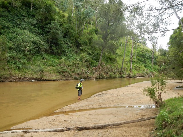
Monsildale Creek
Monsildale Creek was crystal clear as we rode beside it. We took this opportunity to re-fill the water bottles before the climb.
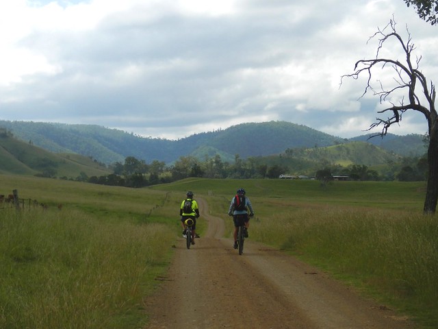
Monsildale Creek
Monsildale Creek
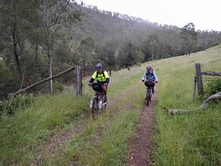
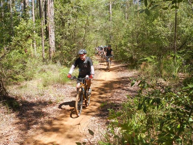
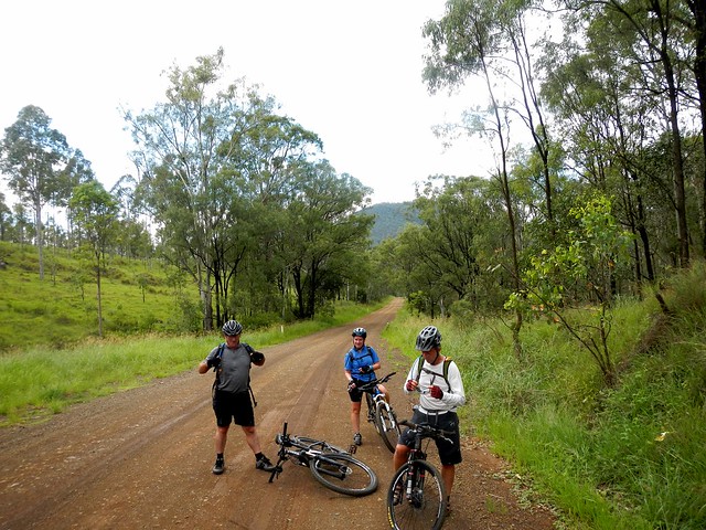
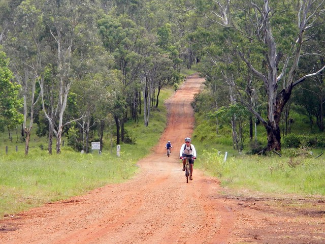
Our track gradually morphed from a pleasant country road to a steep winding forestry track as we slowly made our way up the Conondale Range. “Mount Buggery” I kept muttering to myself as I remembered Stumpy’s words. It definitely was hard work after the distance we already had put in.
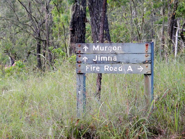
Jimna / Murgon
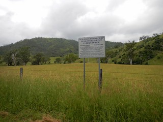
At this stage, Rients and Eric motored up the hill with their super-human legs. I slowly followed wondering what sort of diesel engine these guys were carrying. A worn out old foresttry sign gave me hope that our destination wasn’t too far away.
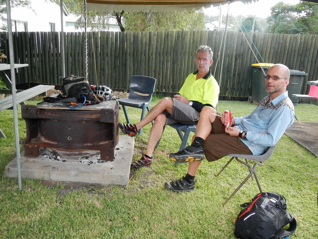
Resting after the Ride
Dave WrightCharlie
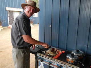
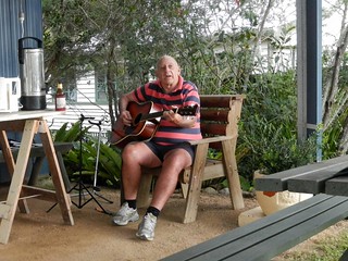
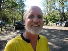
And before we knew it we had arrived in Jimna. Dave was busy at the barbequeue, frying up hamburgers for us, and Charlie entertained us with an old song, “Sweeney” by Henry Lawson.

We rode 90km in just under 9 hours including breaks. I burned almost 3,500kcal and we climbed almost 1,800m. This was a tough ride. If you’re doing the entire trip from Nanango to Jimna, I’d rate it 9 out of 10 on the tough-o-meter, because of the steep climb at the end, the many creek crossings, and the logistics of getting enough food and water to last the distance.

If you take the easy option and ride from Nanango to Linville, I’d rate it 7.5 out of 10.

Either way, this is not a ride to do after heavy rain, and as a point-to-point ride, it requires planning to get to and from the end-points.

Thanks Eric and Rients for a great ride.

Thanks Rod and Celia for your warm hospitality.

Thanks Dave and Charlie for the delicious food, and stellar entertainment 🙂

And thanks to the Gillyland family for letting us pass through their beautiful property.

Total distance: 93.28 km
Total climbing: 2775 m
Average temperature: 21.9
Total time: 08:44:57
Download file: activity_290556855.gpx
More data
Woodford

What could be more challenging, or more fun than leading a several dozen riders with a wide range of skill levels on a 65km cross-country trek through some tough but beautiful country?
Creek Crossing, Woodford
After last years amazing ride from Beerburrum to Woodford and back, some friends asked if I would organize a similar ride this year. The only problem was that last year we did it in the dry season, and this year it was at the end of the wet season with flooded creeks, muddy tracks, and downhill sections that were mountains of wet clay.
Flooded Tracks - WoodfordFlooded Tracks - Woodford
A few days earlier I checked out the route with some friends – some of the old dry trails had turned into long mosquito-ridden swamps, and I was keen to ensure that I didn’t spoil people’s fun by forcing them to trudge through vast tracks of unpleasantness like this.
Matthew Flinders Rest Area
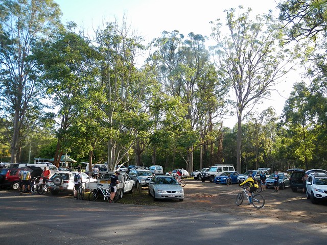
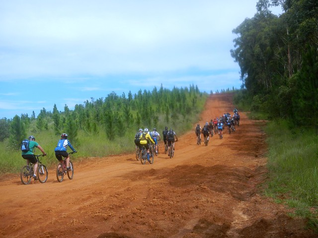
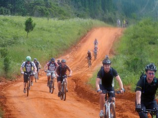
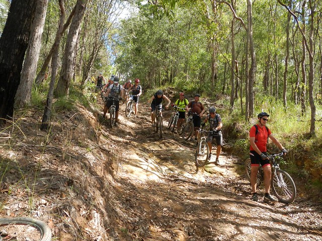
As I arrived at the Matthew Flinders Rest Area before the ride, I was overwhelmed to find 41 eager mountain bikers raring to set out on this adventure. Forty one! This was going to be a mammoth task – ensuring no one got lost, everyone kept together, and everyone had a good time, even though the group ranged in skill and fitness levels from beginner to advanced. Thankfully, my friends Eric and Darb agreed to “ride shotgun” at the rear, and Eric supplied a couple of walkie-talkies so that we could keep in touch and know what was going on. (What a fantastic idea – we must use these again on bigger rides!)
Beerburrum Trail
Beerburrum Trail
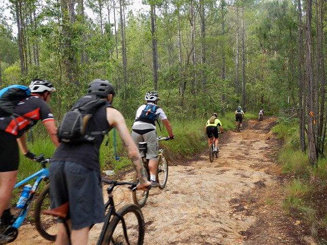
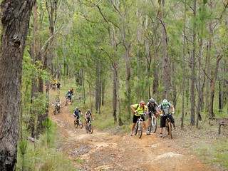
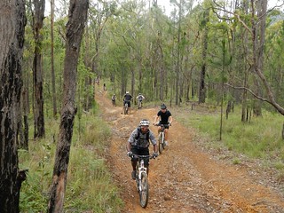
And so we set off. Snaking through the pine forests of Beerburrum. As we reached an intersection that might confuse people I asked one of the people at the front to stop there and act as “traffic cop” to point following riders in the right direction. This is a great strategy I learned from some of the guys at Bushrangers Mountainbike Club on an earlier ride.
Don't Hit the Photographer!
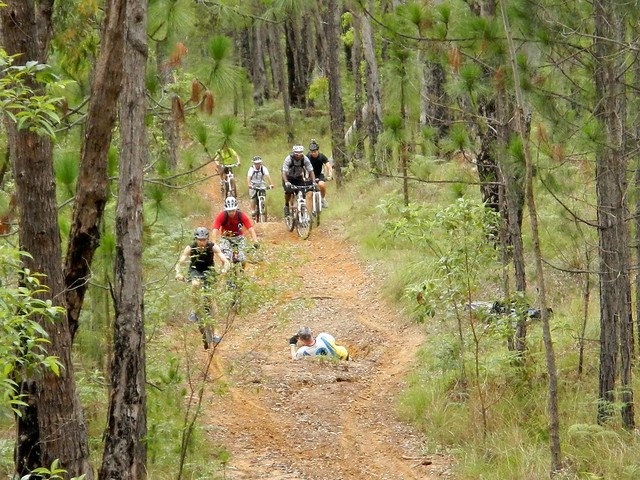
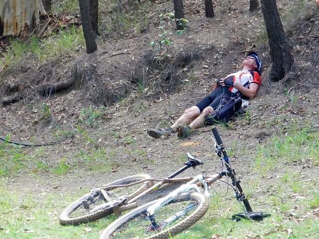
At our first major climb, I rushed ahead to get a few photos of everyone trying to make it up the hill. Keen photograoher, Tim, decided he wanted to lie in the middle of the track and capture riders on the way past. It was a miracle no one hit him, or tried to use him as a log rollover.
Gnarly HillGnarly Hill
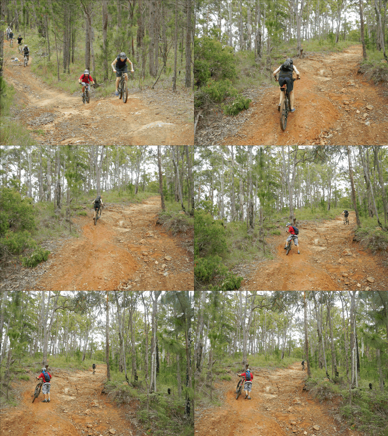
Gnarly Hill
Most people made it part way up, but Rick (who had never ridden this hill before) showed the rest of us how it was done. Well done, Rick!
Glasshouse Mountains Lookout
Glasshouse Mountains LookoutGlasshouse Mountains Lookout
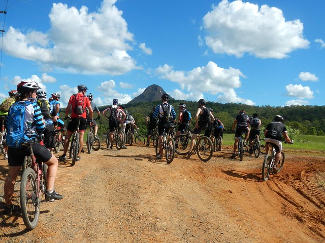
After just over an hour of riding, we made it to our first rest-stop at the lookout where people soaked in the view of the stunning volcanic outcrops while others took the time to recover.

Hennessey Hill Crash from Darb Ryan on Vimeo.

The next stop was the Hennessey Hill downhill track. This is a steep man-made track with jumps, berms, drop-offs and rock-gardens. It’s challenging, but fun to ride. Darb thought he’d “push the envelope” a bit and descend with a bit of speed. Here’s what happened. (I’m the silly looking guy in green at the end of the video that almost got run over).
Hennessey Hill
Thankfully, no one was hurt badly, and everyone had a lot of fun.
Pine Forest Trails
Pine Forest TrailsPine Forest Trails
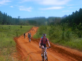
We continued our adventure westward, along some red dirt tracks and up yet more hills. A few of the riders were starting to tire, but no one complained – which is amazing for such a large group.
Creek Crossing, Woodford
The final obstacle before our rest at Woodford was the creek. Some people, keen to reach the destination, rode through it. Other people (like me) who had an aversion to wet feet removed their footwear and walked through. Either way, it was impressive watching so many mountain bikers cross a creek, like a herd of stampeding cattle.
Rest Break at Woodford
A few people took the opportunity in Woodford to have a quick rest, while others raided the local cafes for all manner of cycling fuel. We split up, and went to different shops so as not to overwhelm the place.
Woodford Trails
From Woodford we headed north-west out of town, avoiding some the boggy spots I’d discovered earlier during the week.
Climbing a Fence
It was fascinating to watch how a group of people with a common goal were so effective as team – especially at obstacles like barbed-wire fences, where a wrong move could puncture a tire, scratch a frame, or rip lycra.
Radar Hill
And then it was time for the last major climb of the day – a 2km tough little ascent called “Radar Hill”. Some people walked, some people powered up, others spun in granny gear, but everyone made it to the top.
"The Giant Drop" at Radar Hill
"The Giant Drop"
The descent from Radar Hill is amazing. Once you start, there’s no turning back. Your brakes won’t stop you. It’s a controlled slide to the bottom. Most people walked it, but a few daredevils rode it. Everyone got to the bottom in one piece.
Mount Beerwah
At the Mount Beerwah picnic ground, some people took the time to enjoy the amazing view…
Resting
…while others took the time to recover.
“Not long to go now” I assured people – many of whom were starting to feel like they were at the limit of their endurance.
Porfiri Road Descent
We had one last big descent to tackle – Porfiri Road. This nasty rocky “road” has gobbled me up twice in the past. It’s a very challenging descent. Several people were able to ride it. Most rode it part-way, and walked some of the trickier bits. Amazingly, no one was hurt.
Stokes Road Beerwah
Stokes Road at Beerwah was our last stop before disappearing into the forest again, and completing the final leg of the trip.
Bike Path
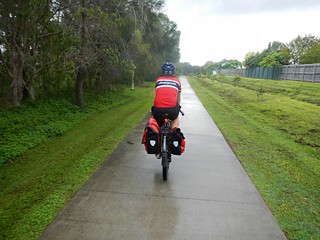
From there it was a reasonably easy roll along the bike path back into Beerburrum.

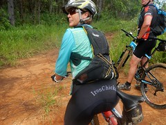
"That was fun!"TimMatt & LilRickMTB LegsNeilPete"That was fun!"DerekDarb"That was fun!"Ian"That was fun!""That was fun!"KyleDom & KyleJasonJasonRusselDarrenSimonPaulEric"Iron Chick"Neil & Claire

All up we rode over 65km in about 7.5 hours including breaks. We climbed about 1,000m in 30 degree heat. I burned about 3,000kcal.

I can’t really give this one score on the tough-o-meter. For some of the newer, less experience riders, this one was off the scale – pushing the boundaries of their ability. For them it rates at least 10 out of 10.

For some of the more experience riders (and comparing it with the brutal ride that we Eric, Darb, Jason and I did last week) it rates about 7.5 to 8 out of 10.

But, more importantly, as a social event for like-minded people who love exploring the outdoors, this ride couldn’t have been any better. I thouroughly enjoyed it.

Thanks everyone for coming. Thanks especially to Eric and Darb for helping to manage the group.

Total distance: 69.04 km
Total climbing: 1820 m
Average temperature: 29.4
Total time: 07:36:27
Download file: activity_287585749.gpx
More data
Ground Work

Tunbubudla "The Twins"
We’ve been organizing a group social ride through the Glasshouse Mountains which we plan to run next week (23 March). We expect about 30 people of varying skills and fitness levels to turn up, so it was important to make sure our planned route was suitable. The last time we did this ride was in the dry spring months last year, and the challenge is that we’ve had a lot of rain recently, so a few parts of the previous route are really muddy, or blocked by fallen trees. Our aim today was to ride the original route, note where there were problems, and find alternative trails to “get around” the problems.

That’s where fit mountain-biking friends come in 🙂
Pine Forest Trail
Glasshouse Mountains Lookout
We started from Beerburrum and rode west towards the Glasshouse Mountains Lookout. It takes about an hour with a really challenging climb just before the lookout, but the effort is worth it for the panoramic views of this magnificent ancient volcanic caldera. Apart from a few navigable fallen trees and small mud-patches we didn’t encounter any major issues, and I think most participants next week are going to enjoy it.
Hennessey Hill
After the lookout, it’s a short ride to the Hennessey Hill Downhill MTB track. This professionally designed track is a hoot – you don’t need a downhill rig to ride it. In fact Eric and Darb did it on hardtails with no problems. There a loads of jumps on the way down – but if you’re shy of getting too much air (like me), they’re easy enough to roll over with no “gaps” to fall into. The only problem is that in one or two spots on the downhill side of the jumps, there are a few muddy ruts which might catch an unsuspecting front wheel, so I think we might need to warn everyone before we send them hurtling down the trail with our fingers crossed 🙂
Climbing a Hill
So far, everything was going perfectly as we followed last years track. But curiosity got the better of me at the bottom of another fun descent. “Why don’t we check this track out instead?” I suggested as we veered from our previous route and headed into unknown country.

It was a mistake.

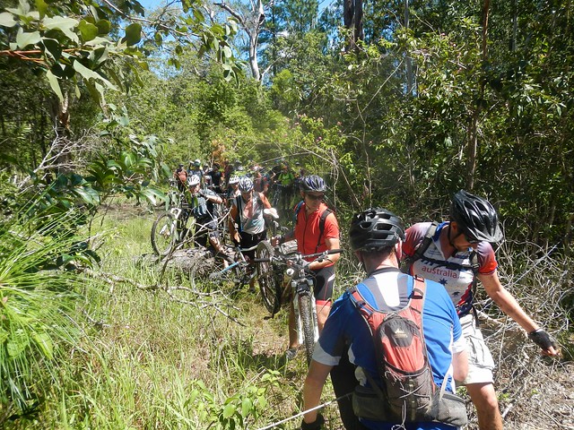
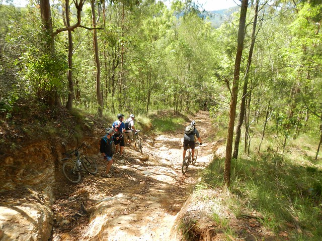
We had to brave a couple of nasty muddy bogs, but also had to push our bikes up some horribly steep hills. Even worse, we ended up heading at right-angles to our desired direction, and eventually scrambled out, exhausted, an hour later onto a gravel road.

“Ummmm, perhaps we shouldn’t ride this route next week” I sheepishly blurted out, stating the bleeding obvious.
Crossing a Creek
After having lunch in Woodford, we started our return leg to Beerwah through some more state forest which had been affected by recent rain. Jason has the same aversion I have to getting his feet wet, so we both did a “Charles Blondin” (look it up) and tight-rope walked our bikes over a fallen plank to avoid having to wade through the flooded creek.
Bush Mechanic
Several kilometres later, with mud and sand in our drive trains, we stopped to clean up our chains. Jason had a brilliant idea and hung his bike from a tree branch – just like a bike mechanics stand. Surely this man is a mechanical genius? Once again – a quiet note to self. We’ll probably modify the route next week to avoid the flooded tracks, unless people turn up with snorkels and flippers.
Trig-Point Hill
With bikes now running much smoothly, we eventually wound our way up “Trig-Point Hill“. This nastly little climb takes you up to the highpoint of the ride, but not before forcing you to work tired legs to grind up the rocky track.
"The Giant Drop"
"The Giant Drop"
The best thing about Trig-Point Hill is a descent we’ve dubbed “The Giant Drop”. We all had a bit of a double-take as we looked over the edge to make sure it was all ok before committing bikes and bodies to the bruising descent.
"The Giant Drop"
We made it down without any mishaps. I made a mental note that perhaps this point would be appropriate to explain to riders next week that if you don’t feel safe riding down The Giant Drop, it’s quite ok to walk. As if to confirm my thoughts, some people in a Four Wheel Drive car stopped at the top, took one look at the descent, and drove off looking for an easier way down.
DarbGroundhogJason
We eventually made it back to the cars about two hours later than expected, after all the back tracking. We were bruised and exhausted. A couple of us (myself included) fell off and suffered a couple of minor “war wounds”.

I love days like this. A bunch of friends head out into stunning countryside to explore new tracks, battle the elements, and work out a plan to share it with other friends. What better way could you spend your Saturday?

Unlike next weeks ride, which will be social, challenging, but enjoyable, todays ride was tough. It had to be tough today, so that it can be easier next week. Today we rode about 70km in about 8 hours including breaks. I burned up about 3,300 kcal, as we completed about 1,300m of vertical ascent. I’m rating it 10 out of 10 on the tough-o-metre because of the one hour “sojourn in the wilderness” that we endured because of my curiosity. Next week, I’m expecting a 7.5 out of 10.

Thanks to Eric, Darb and Jason for a fantastic day.

Total distance: 70.76 km
Total climbing: 2201 m
Average temperature: 28.2
Total time: 07:48:13
Download file: activity_284785166.gpx
More data
Christmas Creek

Christmas Creek
The purpose of todays ride was to follow a route which connected up a previous ride Duck Creek with the small rural town Rathdowney via some picturesque country around Christmas Creek. Christmas Creek is in a rugged valley in the Macpherson Range south of Brisbane, near the state border. It’s the traditional country of the Mununjali Aboriginal People who are part of the larger Yugambeh-Bunjalung language group.
Albert RiverAlbert River
Albert River
We started from Duck Creek in Kerry and followed some quiet paved roads south along the swollen Albert River. Recent rain has increased the flow in many of the local rivers and creeks – they look spectacular.
Lost World Valley
Lost World Valley
If you keep heading south in this part of the world, you come up against the impenetrable wall of the Macpherson Range and a number of rugged valleys such as the “Lost World” valley.
Darlington Range
Our objective was is the next valley to the west, so we had to grind up and over the Darlington Range into to the Christmas Creek valley.

Christmas CreekChristmas Creek
After more that 25km of paved roads it was a delight to finally arrive at the muddy tracks that followed the upper reaches of the creek. Cliffs shrouded in clouds reared up on either side as the creek raged over the rocks below.
Christmas Creek
Much of this area is a popular hiking destination. We met up with a group of enthusiastic hikers who didn’t mind braving the intermittent rain and muddy trails. “It’s a bit wet, isn’t it?” I asked one lady. “Yes, but it sure beats sitting at home watching TV” she replied. I couldn’t have agreed more. Incidentally, I’ve never met a grumpy hiker. Or a grumpy mountain biker. So if you’re feeling a bit depressed…. 😉
Christmas Creek
Christmas CreekChristmas Creek
After last week’s adventure through flooded creeks, Eric joked that he’d be disappointed if he didn’t get his feet wet today. We didn’t let him down.
Christmas Creek
At this point we decided it would be best to avoid the more flooded sections of the creek. Unlike last week, it wasn’t necessary for us to attempt this crossing, and there was only a short section of track on the other side, so we turned around and headed back up over the hills.
Christmas Creek
On the southern side of the track, the imposing cliffs seem un-scaleable. In fact, in this spot, almost 75 years ago to the day, they were the site of a fatal plane crash and an amazing rescue mission by Bernard O’Reilly. (To read more, click on the following newspaper clipping from the Sydney Morning Herald in March 1937).

Bernard O’Reilly was a hero. He climbed these mountains to rescue two survivors of the Stinson plane crash, and them brought them back on stretchers by following the ridgeline at the top of these hills. Everyone thought it was an impossible task – but he succeeded because of his bushcraft skills, determination, and intimate knowledge of the land.
Neglected MountainNeglected Mountain
Inspired by O’Reilley’s bravery, we thought it would be worth having a look at the final section of the “Stretcher Track”. We rode / pushed our bikes up the steep slopes of “Neglected Mountain” following the track that O’Reilley used to bring the survivors down. It was tough going.
Neglected Mountain
After battling ankle-deep mud, and impossibly steep gradients, we made it about half-way up the hill and were able to enjoy lunch and some wonderful views of the valley to the east.
Neglected MountainNeglected Mountain
I have no idea how this truck got up the hill, but it looks as though it died after the stress of the trip.
Neglected Mountain
Cattle and wet weather have recently made the track a quagmire, so we decided to turn around at this point and enjoy the slippery ride back down the hill.
Rest stopLamington National Park
After the rigours of the “Stretcher Track”, it was relaxing to ride back to Rathdowney on a few more quiet back-roads.

We rode about 77km in about 6 hours including breaks. Our total ascent was about 1,200m, and I burned about 4,000k cal. I rate this one 7.5 out of 10 on the tough-o-meter. If you plan to include the climb up the Stretcher Track in wet weather, then I’d add an extra point and make it 8.5 out of 10.

Thanks Becca, Eric and Darb for a fun ride!

NOTE: I lost my GPS after this ride, so this is Darb’s track log.

Total distance: 77.45 km
Total climbing: 1230 m
Average temperature: NAN
Total time: 05:54:35
Download file: activity_281993241.gpx
More data
The Head

Crossing Koreelah Creek

“Eighty percent of success is just showing up” – Woody Allen

In the midst of the Queensland wet-season, it would be tempting to get up at 5am, look out the window at the rain, and decide to go back to bed for another couple of hours. But instead, I recalled Woody Allen’s famous words, and decided to “turn up” and hope for the best.

The aim of todays adventure was to ride from Moogerah Dam up to the headwaters of the Condamine River at “The Head” via Koreelah National Park. I also wanted to fill in another missing link on my map. Eric and Becca kindly agreed to indulge yet another hare-brained whim, and so we set off full of hope from Lake Moogerah in the drizzle.
Croftby Road
On long cross-country rides like this, I prefer to use non-paved roads as much as possible, so we headed south towards the NSW border along Croftby Road.
Great Dividing Range
The views of the Great Dividing Range to the west were stunning, but also served as a gentle reminder that we had a lot of climbing ahead of us. The Condamine River flows westwards into the Murray-Darling basin, so to get to its headwaters, we had to get over the Great Divide. And that meant a lot of hills.
Reynolds Creek
We also wanted to check out the “Bicentennial National Trail” which runs through this region. It’s a mammoth 5,000km trail that runs from Cape York in Far North Queensland to Healsville in Victoria. It covers some of the toughest terrain in Australia, and we were lucky enough to be riding some of it today. The crossing at Reynolds Creek was flooded, but we were able to be able to avoid the flooded crossing by passing a couple of kilometres to the east.
Carney's Creek Road
A few kilometres of flattish terrain lulled us into thinking this was going to be an easy ride, until we hit Carney’s Creek Road. Instead of the 1.8km climb that the cruel sign would have you believe, the climb here is actually about 11km and ascends about 600 metres into the cloudy rainforest of Koreelah National Park.
Rabbit Proof FenceBorder Marker
After what seemed like hours of climbing, we finally reached the NSW border. A rabbit-proof fence stretches for most of the length of the 1,300km border between NSW and Qld – part of a vain attempt to keep the voracious animals out. The fence winds its way over mountain ranges, through thick rainforests, and across wide plains. It’s also a tangible sign of the work done by surveyors Roberts and Rowland in the 1860’s as they marked out the imaginary line between the two states. These and other early surveyors like Oxley, Dixon, Stapylton, Warner, Delisser and Lavelle were the true explorers of the Austrailan wilderness – blazing trails that we are still able to follow more than a century later.
Crossing Koreelah CreekCrossing Koreelah Creek
As we rode, the rain continued to increase in intensity. By the time we got to Koreelah Creek the crossing was flooded and we had to wade through. We took it carefully, making sure no-one slipped in the fast flowing water. Just to be on the safe side, Eric carefullly waded into the water first, to check that it was ok to cross.
Head Gate
After yet another long climb, we made it to the top of Head Gate Road, to the border crossing known as “Head Gate”. The old shed was a perfect spot to get out of the rain, dry off, and have a bit of lunch.

Normally, this spot would have been the most scenic of the ride, with views to the west of Condamine Gorge with craggy cliffs rising on either side, and Mount Superbus towering in the distance. Today it was rainy and foggy, and we could see nothing, so we started the long descent down Head Road…
Head Road
Head Road was closed to traffic. It was strewn with fallen trees, boulders and land-slips. Thankfully we were able to navigate around these obstacles with our bikes. It would have been impossible in a larger vehicle. As mountain bikers, we coined a new phrase for this sort of damage. It had been “Goat Tracked” – a reference to how damage to the Goat Track between Highvale and Mount Nebo had rendered it impassable to most vehicles except mountain bikes – not necessarily a bad thing 🙂
Teviott Brook
At the bottom of Head Road we had to contend with the swollen Teviott Brook. It crosses the road several times, and we had to carefully make our way across several flooded causeways.

I think it’s important to point out that wherever possible I don’t cross flooded creeks. It’s dangerous. It’s not something that we set out intentionally to do. There was no other realistic option for us, and we only crossed when we were certain it was safe to do so.

All up we rode about 90km in 7.5 hours including breaks. We ascended just under 1,800m and I burned 4,200 kcal. Taking the weather into account, the obstacles, and the tough terrain, this one deserves a rating on the tough-o-meter of 10 out of 10. Not for the faint-hearted. In cooler dryer weather it would be slightly easier and would probably rate 9 out of 10.

Total distance: 89.34 km
Total climbing: 1832 m
Average temperature: NAN
Total time: 07:26:58
Download file: activity_279117272.gpx
More data
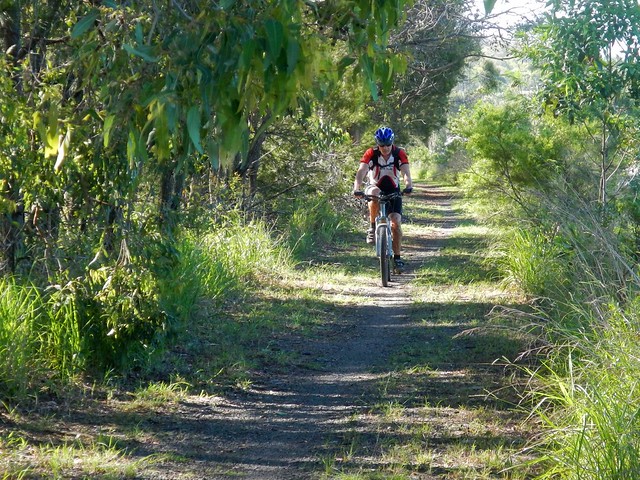
Spicers Gap

Mount Greville
The aim of today’s ride was a reasonably long cross-country ride from the Southern Queensland town of Boonah, to Spicers Gap on the top of the Great Dividing Range and back again. It was challenging but had the benefit of being enjoyable despite recent wet weather.

Tunstall RoadOn the Road
We left Boonah and made our way towards Lake Moogerah via some quiet back-roads. Most of the country around Lake Moogerah is hilly, so we had to work reasobly hard. But it’s worth the effort. The views are amazing!

Mount Greville
The Ugarapul Aboriginal people called this area “Moojirah” meaning “Place of thunderstorms”. When Reynolds Creek was dammed in 1962, the local authorities named the new dam “Moogerah” after the local aboriginal place name. When I saw the clouds brooding over Mount Greville in the distance, I agreed with the Ugarapul. It’s a perfect name 🙂

Lake Moogerah Road
Our track took us around the back of the lake and up towards Spicers Gap Road. We took it easy on the undulating tarmac and gravel roads, aware of the impending long climb up the Great Dividing Range.

Spicers Gap Road
Spicers Gap RoadSpicers Gap Road
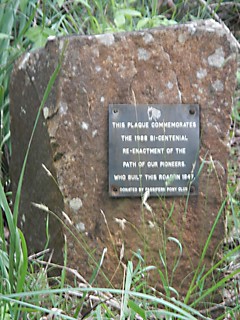
Spicers Gap road has been used for thousands of years by Aboriginal people as a (relatively easy) way of getting over the Great Dividing Range. In the 1840’s, stockman Henry Alphen discovered it was a much easier route for moving bullock drays than nearby Cunninghams Gap. So in 1847, with the help of convict labor, the government built the road along the ancient Aboriginal pathway. It’s steep – rising 600 metres in about 8km. That makes it a perfect mountain biking route 🙂

Pioneers Graves
Moss's WellPioneers Graves
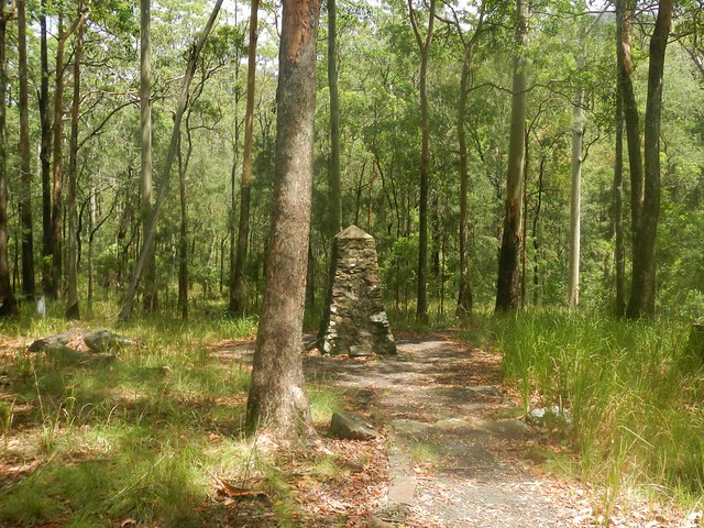
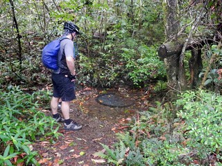
On the way up, there are some historical sites that provide a welcome break from the long climb, including a small cemetery containing the graves of several 19th century pioneers, and a curious freshwater spring, known as “Moss’s Well”.
Enjoying the view
The “highlight” for me was the wonderful view at the top of the long climb.
Enjoying the view
Enjoying the view
Enjoying the view
The views to the east are stunning. It was a perfect place to stop for a bite to eat, take in the panorama, and cool off.
Spicers Gap Road
And the up-side of any long climb on a bike is that you get to enjoy a long fast descent back down the hill. Riding down the steep, winding, muddy road with flecks of clay flying up into my face, hitting speeds of 65 km/h was a lot of fun.
Mount Alford Pub
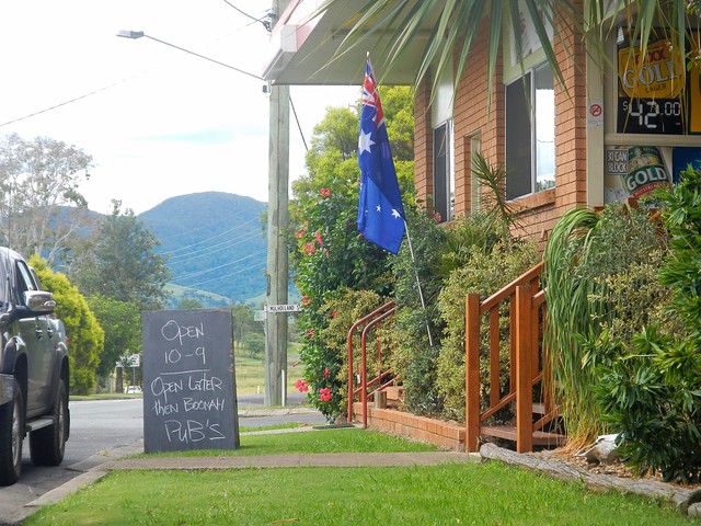
Thoroughly exhausted, we made our way back to Boonah via the small town of Mount Alford. The local pub beckoned to us with its proud boast that it has longer opening hours than neighboring Boonah. We couldn’t resist. Hard work on a bike makes a drink at a pub taste so much better.

I’m grateful to Becca, Eric and Tony for agreeing to ride with me on yet another whimsical day of adventure and exploration on the bike. And especially grateful to Eric who let me “slipstream” behind him for some of the ride when I was feeling tired. We call it “getting a tow” because sitting behind a stronger rider makes so much difference when you’re tired.

We rode almost 80km in 6.5 hours including breaks. During that time we climbed about 1,300m, and I burned about 3,700 kcal. This is a tough ride. You have to first ride 40km, and then do a long 600m ascent up a dirt track, made more difficult by the soft wet surface. I’m rating this one 9 out of 10 on the tough-o-meter. On a hot mid-summer day it would be even harder. In dry winter weather I’d probably rate it 8 to 8.5.

Total distance: 79.28 km
Total climbing: 1382 m
Average temperature: NAN
Total time: 06:26:57
Download file: activity_276466930.gpx
More data
Update

While at the State Library reading random old copies of the Moreton Bay Courier from the 1840’s I stumbled on this article about Spicers Gap Road. Click on the image for a larger more easy to read version.

Moreton Bay Courier 1 May 1847

Hardings Paddock

Horses

The purpose of today’s ride was to fill in a “missing link” on my map between Walloon and Hardings Paddock. I’ve done some fun rides with friends at both places in the past. Today’s wet weather provided an ideal opportunity to complete the 27 km gap between the two places and enjoy some scenic country out the back of Ipswich in South-East Queensland.
Car Wreck
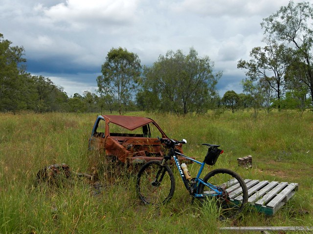
In typical mtb style I headed south out of Walloon looking for a dirt track I could follow. It wasn’t long before I found Mount Elliot Mine Road – a road casement which runs along sone one of the many mines around Ipswich.
The Road Less Travelled
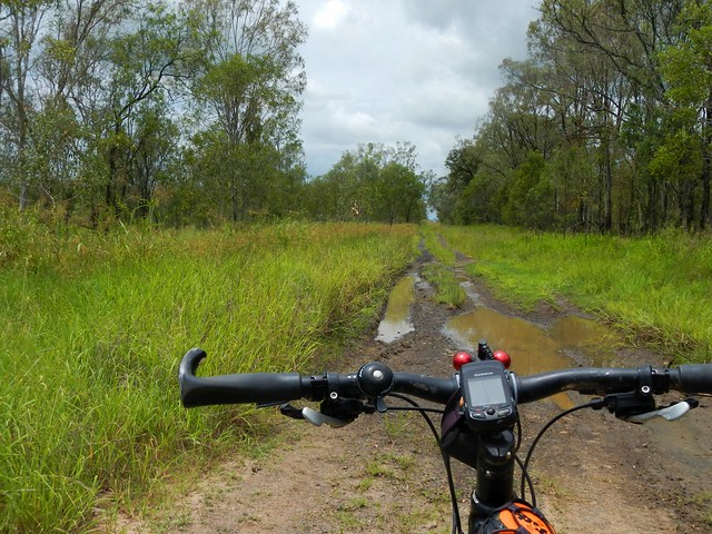
The track was a bit muddy in parts, but was very rideable despite the wet weather. It eventually led me to the small town of Willowbank near the RAAF base at Amberley.
Horses
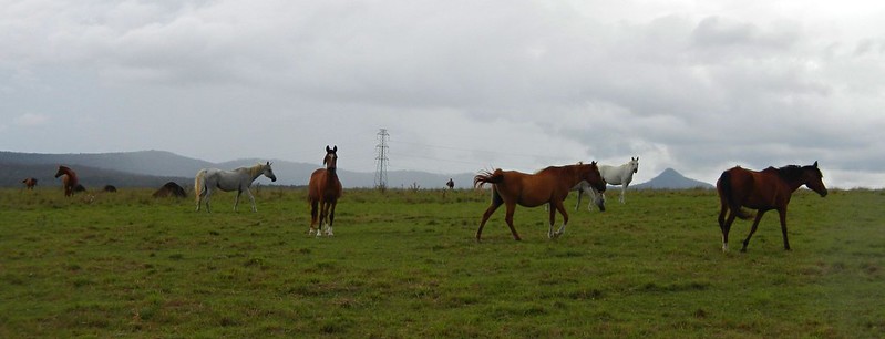
After battling some busy traffic along the Cunningham Highway for a couple of hundred metres, I turned south and followed another dirt track past some beautiful properties with some gorgeous horses galloping around. They were pretty curious and galloped up to me as I rode past. A bunch of horses galloping towards you is a wonderful sight.
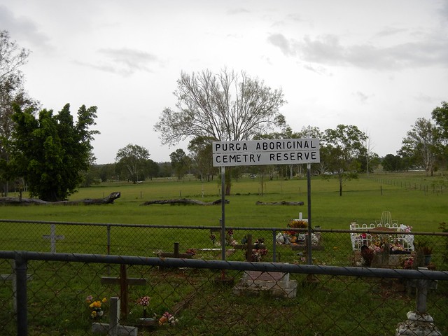
Purga Aboriginal Cemetery Reserve
This small cemetery is a couple of kilometres from Hardings Paddock. It’s unusual in that it’s a reserve dedicated specifically to Aborigines. I had a bit of a look around and was gobsmacked by what I found….
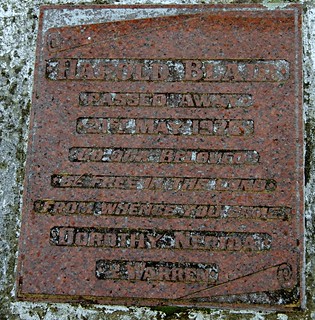
Harold BlairHarold Blair

Harold Blair
Passed away 21 May 1976
Go our beloved
Be free in the land
From whence you came
Dorothy, Nerida
& Warren

Harold Blair was a a world-famous Aboriginal Singer and activist. He was born in Cherbourg Aboriginal Reserve and grew up in Purga, south of Ipswich. The Australian federal electorate of Blair is named in his honor.

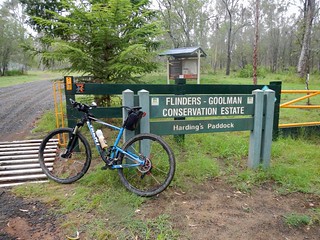
Hardings PaddockHardings Paddock
A little further down the road and I eventually reached Hardings Paddock. Feeling pretty pleased with my self, I stopped for a quick lunch before heading back to Walloon.

Kangaroos
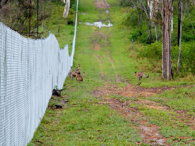
Hardings Paddock borders on a military firing range. As I rode past I saw these kangaroos huddled by the fence. They looked like they wanted to get out. Who knows? Perhaps they had decided that the military life wasn’t for them? Who can blame them?

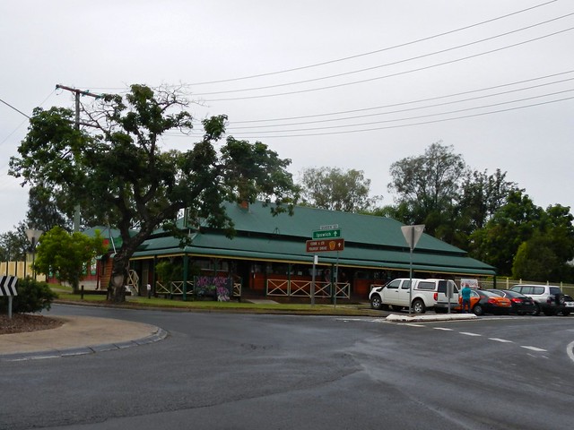
The Walloon Hotel
I rolled back into Walloon after riding about three and a half hours including breaks. The total ride was just under 50km, with almost 400m of ascent, and about 1,800 kcal.

This was a pretty easy ride – flatter than what I’m used to, and with a large amount of quiet bitumen roads. It was ideal for a wet day, but I imagine it might get a bit hot on a fine summer day. The short stint on the Cunningham Highway was unpleasant, but the rest of the ride was quite enjoyable. I’ll rate this one 6.5 out of 10 on the tough-o-meter.

Best of all, my map has one less missing gap 🙂

Total distance: 48.54 km
Total climbing: 425 m
Average temperature: NAN
Total time: 03:29:55
Download file: activity_273695902.gpx
More data
Daisy Hill

Quarry Lake - Daisy Hill
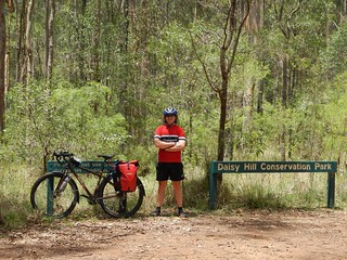
I felt like doing a big ride today, so my friend Dean agreed to accompany me on a long cross-town ride from my place to Daisy Hill. The plan was to try to stick to Bikeways as we rode the 75km across town, then do a few off-road tracks at Daisy Hill Conservation Park, then I’d finish the ride by heading west across town to visit my parents at Forest Lake.
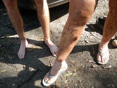
It was also a chance to fill in some of the “missing links” on my global ride map.
Bikeway - Bracken RidgeBikeway - Bracken Ridge
Dean surprised me when he turned up on a fully laden Salsa Fargo touring bike, complete with panniers and bottle holders on the forks. It weighed a ton – which is saying something because a lot of my mates tell my I should send my bike to weight watchers.

As if on cue, as we started the ride, the rain started falling, so our first few kilometres along the bike paths were in cool humid dampness – which was actually more comfortable than riding in the blazing sun.
Moreton Bay Cycleway
Before long we were winding through the swampy She-oak and Paperbark forests of the Boondall Wetlands. I love this part of the Moreton Bay Cycleway. Being so peaceful makes it hard to imagine that this track is so close to the busy Gateway Arterial Road.

And since I was in a lazy mood, I just stuck behind Dean all of the way, in his slipstream. He’s a strong rider and we were able to maintain some really fast speeds as we powered along the cycleway in our mini peloton of two mountain bikers.
Moreton Bay Cycleway
A combination of high tides and recent rain meant that the track was slightly flooded in one or two places.
Gateway Bridge
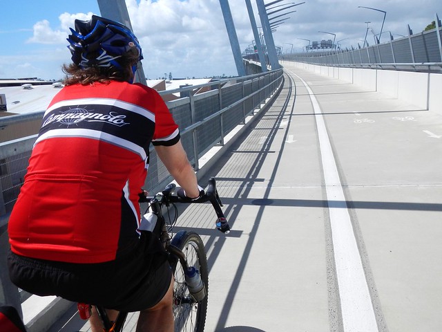
Eventually we reached the Gateway Bridge and made our way over the slow hump of the bridge and down the other side.
Crit Track - Murarie
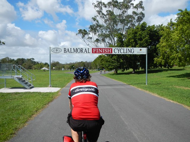
From there we rode through the Minnippi Parklands towards the Critereon track at Murrarie. Since I was still tailgating Dean and riding in his slipstream, he passed the Finish Line on the track just a split second before I did 🙂
Bulimba Creek BikewayBulimba Creek Bikeway
We continued to head south, towards Daisy Hill along the Bulimba Creek bikeway.
"Second Coming" - Daisy HillDaisy Hill Conservation Park
When we eventually reached Daisy Hill, Dean led me up “Second Coming” track near the Buddhist Temple on Underwood Road. It was amazing to watch him push this heavy bike with no suspension along some winding steep single track. The bike rattled a bit on the bumps, by Dean handled it really well.
Quarry Lake - Daisy Hill
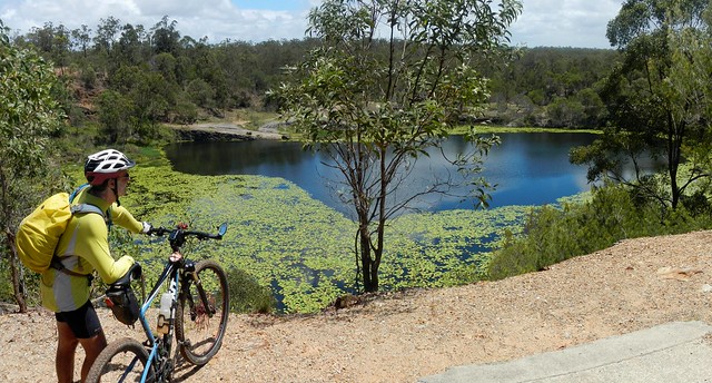
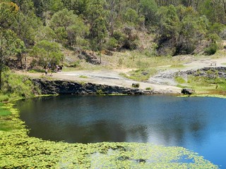
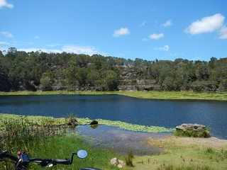
We rode down “Stringybark” trail and did a loop of the Quarry Lake in Neville Lawrie Reserve. By this time the sun was high in the sky, the day was starting to get hot, and I was sorely tempted to ditch my gear and jump in the water. I think Dean was relieved when I decided not to 🙂
Quarry Lake - Daisy HillQuarry Lake - Daisy Hill
Next time I’m there, I’ll definitely jump in. The water looked great on a hot day.
"Possum Box" - Daisy Hill
From there we headed up to the “Top Carpark” to top up on water, before riding down “Possum Box”.
"Possum Box" - Daisy Hill
And I got a lesson from Dean in how to ride a heavy no-suspension touring bike on some twisty single tracks.

Including the last leg of my ride to Forest Lake, I rode a total of 117km in just over 6 hours (excluding breaks). I burned 5,100 kcal and climbed a total of 1,150 metres. Riding this with Dean made it much easier – especially being able to slipstream him, and to benefit from his knowledge of where to go in a part of town that I don’t normally ride. I’ll rate this 8.5 out of 10 on the tough-o-meter. But if I did it solo, I’d probably rate it 9.5 out of 10.

Total distance: 116.91 km
Total climbing: 1279 m
Average temperature: NAN
Total time: 08:51:20
Download file: activity_271140898.gpx
More data