
The last time we visited Reedy Creek we enjoyed it so much that we decided to return with more friends.

There was no gentle introduction or warm-up: we started the ride with an immediate sharp climb up Chambers Road.
“Whose idea was this?” I joked while breathing laboriously.
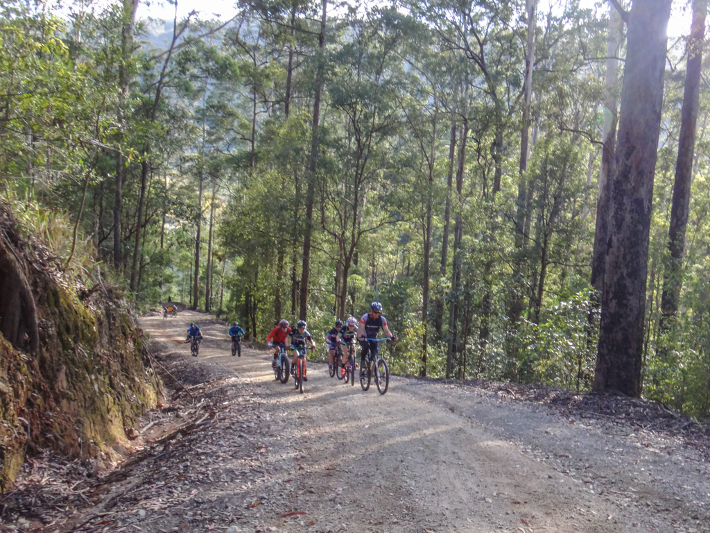
The valley floor fell away, and the morning sun filtered through eucalyptus forest as we slowly worked our way up the hill.
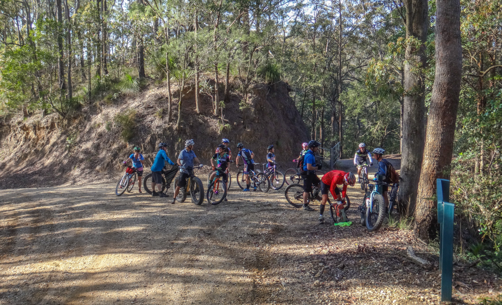
At the top of the first climb we regrouped to let the stragglers (i.e. me) catch up. People stretched, stowed jackets they no-longer needed, and enjoyed the brief respite from the hard work.
Today’s climb was particularly challenging – apart from one or two short sections, we’d be going uphill for almost two hours.
We followed Range Road south along the ridge that marked the top of the D’Aguilar Range. Slopes dropped off sharply on either side.
In some spots the ridge-top road cut into steep hillsides as it worked its way upwards.
At a couple of places we enjoyed a brief rest as the road went downhill for short sections…
…but we soon resumed our slow upward trek.
Occasionally we’d get short glimpses of the landscape below us through gaps in the trees, but for most of the time we just mashed the pedals, kept our conversations short, and climbed.
The gravel roads are wide and well-made: designed to carry 4WD traffic in all weather. But in this section of the forest they’re not frequently used, which meant we had the tracks to ourselves for most of the day.
Although a few of the faster riders did it in a much quicker time, it took me just under two hours to reach the lookout.
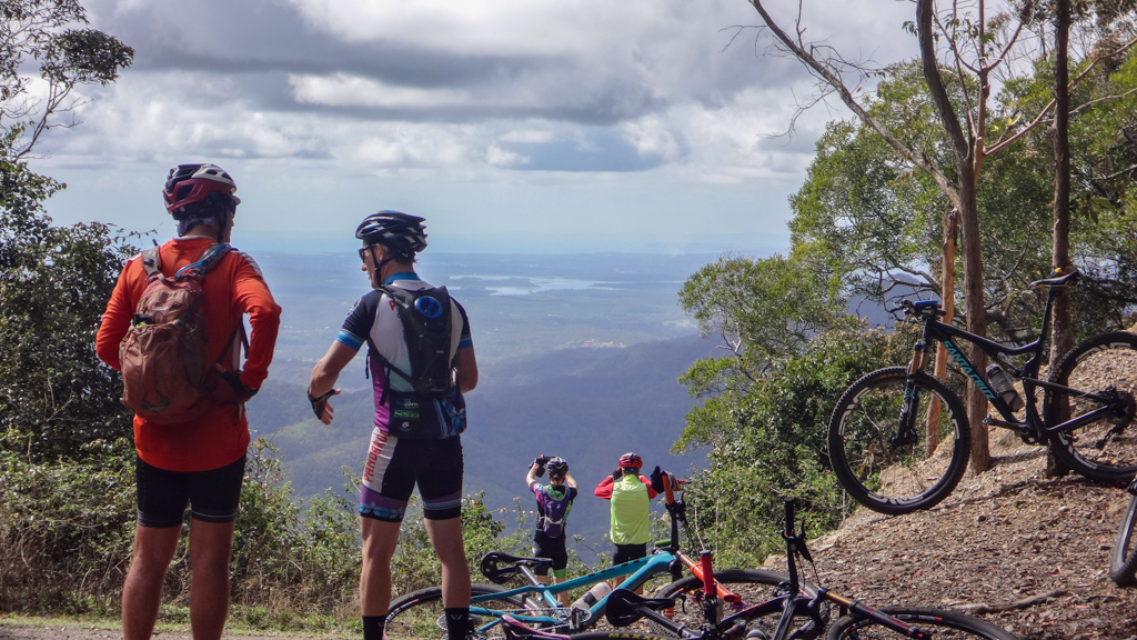
This is one of my favourite places. We laid the bikes down, broke open a few snacks and enjoyed the view which stretched eastward over Lake Samsonvale and Moreton Bay to the islands.
Eventually the wind picked up as we cooled off. We started to feel cold, and decided to jump back on the bikes and resume our ride.
Fortunately from here it was mostly downhill.
We rolled back down Range Road for a few hundred metres, then turned into Bowman Road – a steep trail which would take us down the western side of the range to Reedy Creek.
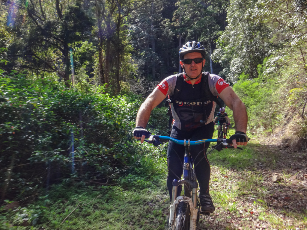
Often when I’m riding, I’ll pull my camera out, point it behind me and shoot off a few photos while steering one-handed.
I call it a “Hail Mary” shot, because I’ve got no control over the quality of the photo. Sometimes it works, sometimes it doesn’t.
Russel rode behind me and asked me what I was doing.
“Isn’t that a bit dangerous?” he asked.
“Yes. I broke my collar-bone once while trying to ride one-handed and take photos.”
I didn’t realize how worried he looked till I checked out the photos afterwards.
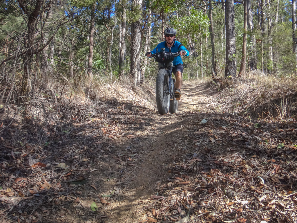
Bowman Road descended for a long time.
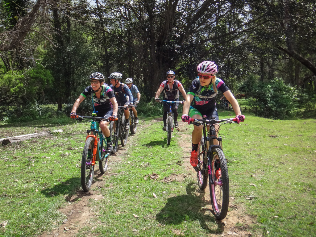
I rode behind Kylie and watched impressed as she “got air” jumping her bike high over some of the water bars.
Even crazy photographers like me don’t attempt one-handed photos while plummeting down steep tracks over jumps.
Eventually the trees thinned and we caught glimpses of the Reedy Creek valley.
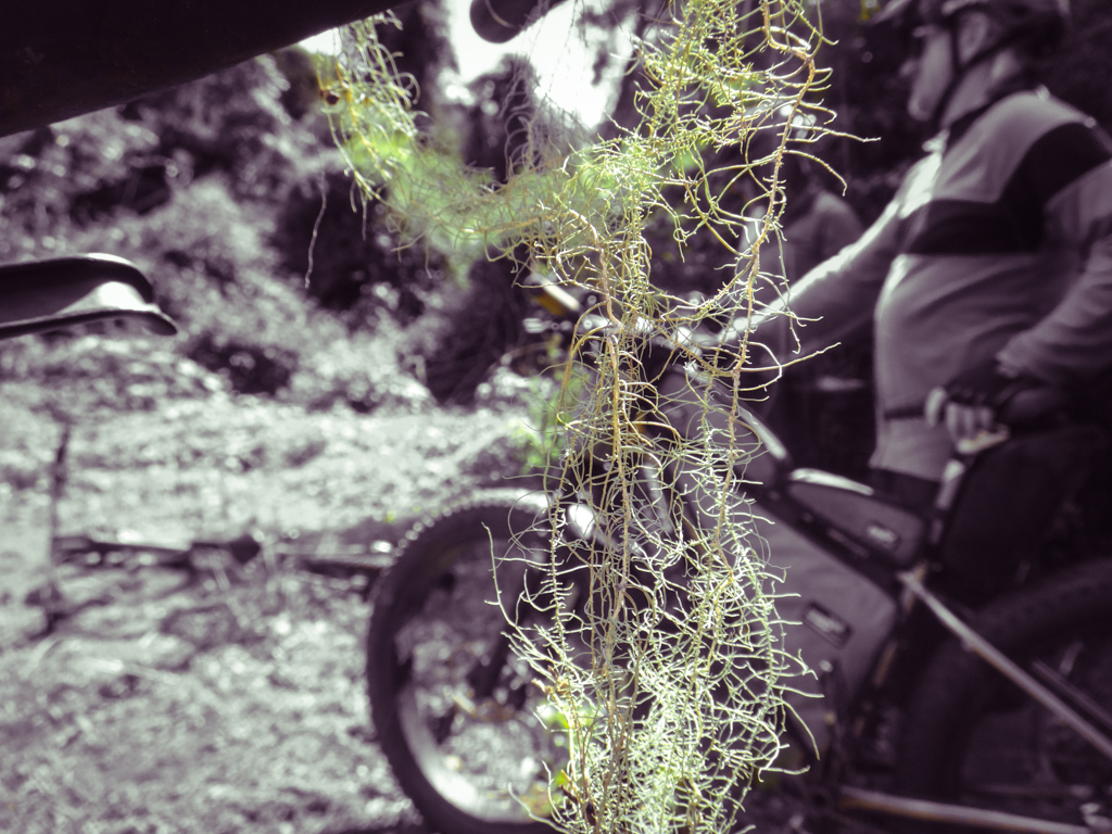
My bike picked up some vegetation on the way down. “Old Man’s Beard” adorned my handlebars.
Although this track has been recently graded, it’s still quite dense in parts. I think it wouldn’t take more than one hot summer for it to grow over again. That’s part of the reason we decided to return here sooner than later. If we had left it too long the track might have disappeared under regrowth.
Eventually the trail spat us out at the bottom of the range.
Calum punctured a tyre half-way down. We waited at the bottom for him to rejoin us. Unfortunately, fat bike tyres take a long time to pump up, so we had a leisurely wait.
Fortunately we had UHF radios and were able to let everyone know what was happening.


Last time we were here these fields were thirsty-brown. Unseasonal winter rain has turned them a lush emerald-green. Creeks are flowing, cattle are contented. It’s amazing what a difference a couple of months of favourable weather can make.
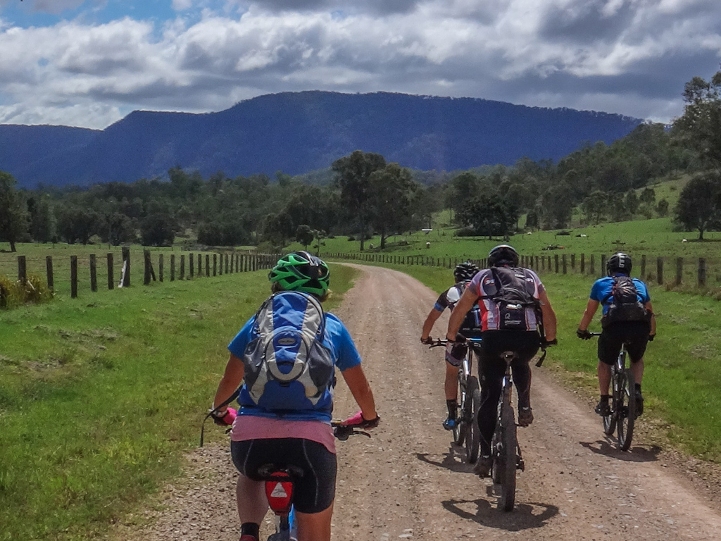
It’s a ten kilometre ride out of the valley, but the road has an almost imperceptible downhill slope. We rolled effortlessly along it as the impressive slopes of Mount Byron loomed ahead.
At the end of the valley, we turned back towards the national park, and crossed through “Byronvale”, a privately owned cattle property on the banks of Byron Creek.
I had spoken with the owner previously to make sure it was ok for us to ride through.
He generously agreed.
At the first deep creek crossing, most of us looked around for a way through without getting our feet wet.
“Faint heart never kissed a pig,” said Eric cryptically as he waded boldly into the water.
I chuckled to myself at his insight and followed him through…
Everyone else decided they’d “kiss the pig” too – so we all got wet feet.
Because we were passing through private property, we all agreed to stick together. At some stage we’d meet the land-owner, and it would be preferable if we all arrived together rather than in a slow trickle.
We followed farm tracks over rolling green hills towards the national park boundary.
At the next creek crossing, some people stepped around the edge, some ploughed through the water, and Simon waded back in and sat down in the creek up to his neck.
“Name your price for the beer!” someone yelled out as we said “G’day” to Byron and his family.
“Ten dollars?” he replied.
We all laughed but decided it probably wasn’t a smart idea to crack open a stubby mid-ride.
Cheers, Byron!
We jumped the gate on the boundary of Byronvale and re-entered the national park.
Lush rainforest lined either side of the road as we followed Byron Creek back up the range.
Compared to the monster climb earlier in the day, this final climb back up the hill was miniscule. I tried to ignore my complaining legs.
Our final segment of the day dropped down a steep horse trail back to the cars.
I got as far back on the bike as possible and tried to stop the bike from skidding too much as we plummeted homeward.
We rode about 45 kilometres in just over 5 hours. During that time we climbed about 1,450 metres in elevation and I burned about 2,800 kcal.
This is a challenging ride with long climbs, steep descents and remote locations. It’s not for beginners. I’d rate it 8.5 out of 10 on the tough-o-meter.
Add an extra point if you try it in summer – that would be very difficult.
Thanks to Darb, Eric, Jason, Adam, Kaye, Calum, Nick, Simon, Rick, Jo, Belle, Kylie, Darren and Russel for a great day out!
Thanks once again to our friend Byron for letting us ride through your beautiful property.
Where to next?
Total climbing: 1690 m
Average temperature: 22.3
Total time: 05:19:19
More data












Nice ride and write up Neil. HOW great was that view!!! Secretly I was hopeful of a postponement, because after CAFNEC I be tough enough!!!
Cheers
You’re definitely tough enough Ian. That view is pretty damned good. If you’ve got a spare couple of hours I can take you up there during the week on a short loop?
It wasn’t that long ago that a certain ride leader wouldn’t be caught dead without a pair of plastic bags to slip his tootsies into at water crossings!
My heart isn’t so faint and I’ve kissed a lot of pigs since then, Craig 😉