Mount Nebo

Mount Nebo Summit
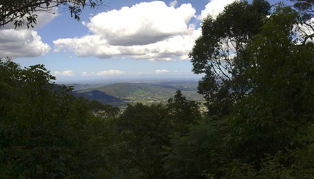
The kids were a bit restless this morning, so we decided to burn up some of their excess energy by taking them on a hike. We drove up into the D’Aguilar Ranges and hiked from the road to the Summit of Mount Nebo (620m) and back – a total of about 6.5km.

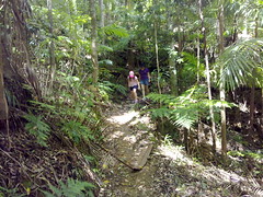
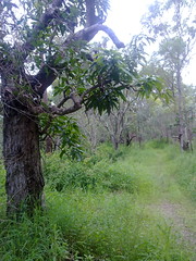
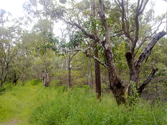
We followed a forestry fire trail for about 2.5km to the summit, and came back via a walking track on the southern side of the ridge, which meant we were able to check out a number of different ecosystems.
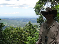
Liz and the KidsNeil at Mt Nebo
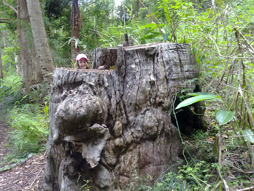
Lilly in a Tree StumpMount Nebo Walking Track

It’s a different world in the rainforest. Worries seem far away!
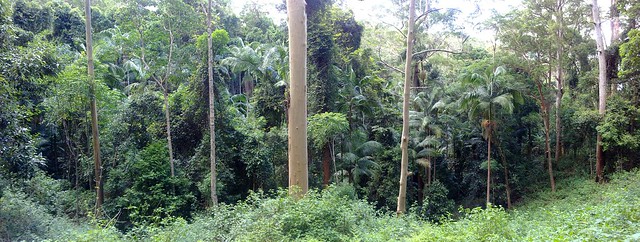
Palm Forest

Let’s do this again soon 🙂

Total distance: 6.32 km
Total climbing: 328 m
Average temperature: NAN
Total time: 01:48:10
Download file: activity_64668973.gpx
More data

Mangoes at Clear Mountain

Liz in the Mango OrchardMango OrchardMango Orchard
It was getting late in the afternoon, and neither Liz nor I had done any exercise for the day. It was too late in the afternoon for me to consider going on the roads in peak hour in the dying light, so we decided to go for a walk along one of my favourite mountain biking tracks at Clear Mountain.

It’s a state forest reserve, but it doesn’t take much looking to realize that this land had other uses. Right at the start of the walk there’s a very old orchard of Mango trees poking out of the undergrowth. The only problem is either someone got there before us, or the wind in the storms was particularly strong, because there’s no mangoes on the trees at all.

The route we took is a great one-hour workout with about half a dozen steep hills to walk up and plenty of peaceful looking scenery to check out along the way.

Where's My Stump?
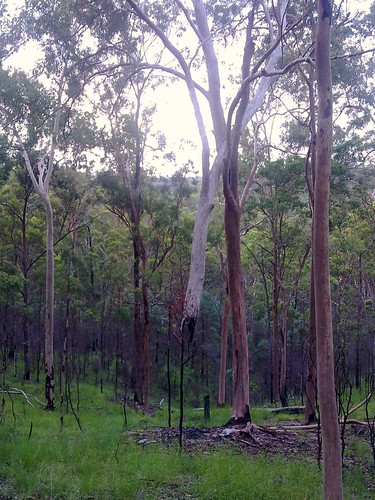
Perhaps the strangest looking thing was this Eucalypt which appeared to be suspended in mid-air without any stump – an entire tree that must weight a ton. I’m guessing the stump burned away during bush fires last year, and the rest of the tree ended up nestled into one of its neighbors. It’s still a weird looking sight.

God its good to get out into the bush!

Total distance: 4.59 km
Total climbing: 239 m
Average temperature: NAN
Total time: 01:07:57
Download file: activity_64099541.gpx
More data

One Mile Creek

There are two major creeks in our area with misleading names. One Mile Creek is about Seven miles long. Four Mile Creek is about Ten miles long. Both creeks have their source in the beautiful bushland of Clear Mountain. Here’s some pictures of my ride through Clear Mountain and over the upper reaches of One Mile Creek.

Clear Mountain - Centre Road
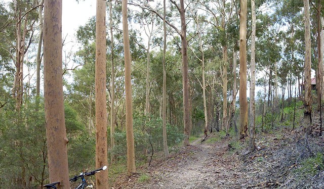
This is the trail head of one of my favourite rides through Clear Mountain. Starting at the top of the mountain near Old School Road, Centre Road winds steeply down the hill through the eucalypts to a few crossings over One Mile Creek.

There are lots of trees, lizards and no sounds except bird calls and wind through the leaves.

It’s a great place to ride, and I’m so glad most of it is a state forest reserve.

Clear Mountain - One Mile Creek
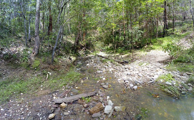
The crossings over One Mile Creek have created some steep banks which are challenging to cycle in and out of, but are always enjoyable.